MAP DETAILS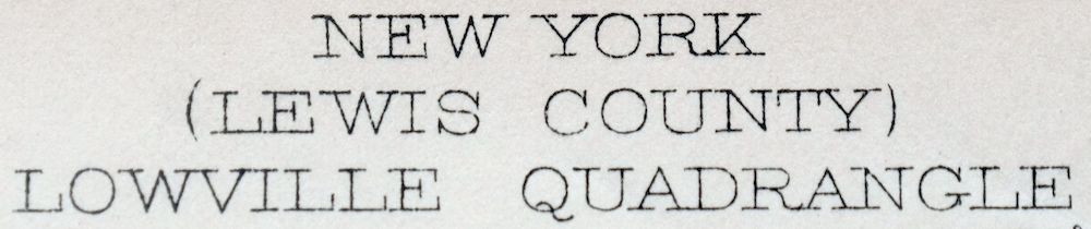 | |
|---|---|
| TITLE | Lowville |
| STATE | New York |
| LOCATION | 70 miles northeast of Syracuse, NY |
| SERIES | 15-minute |
| SURVEYED | 1910 and 1911 Field Survey |
| GEOGRAPHER | R.B. Marshall |
| ENGRAVED | 1913 |
| EDITION | 1913 |
| PRINTED | 1913 |
| PRINT NOTES | Includes woodland tint (green to indicate vegetated areas) |
| SCALE | 1:62500 |
| CONTOUR INTERVAL | 20 feet |
| SHEET DIMENSIONS | 16 1/2 x 20 inches |
| MAP DIMENSIONS | 12 5/8 x 17 1/2 inches |
| COVERAGE AREA | 12 x 17 miles |
| SOURCE | From an uncommonly well-preserved collection |
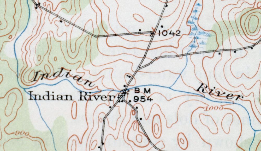
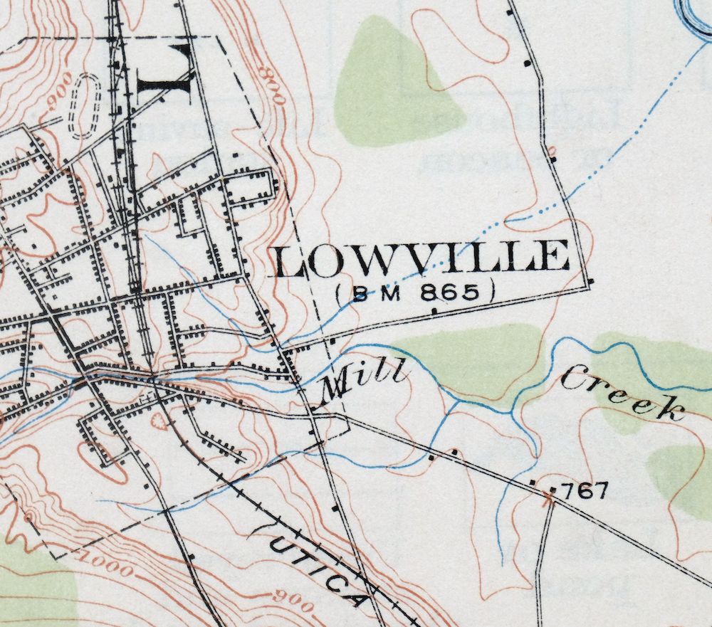
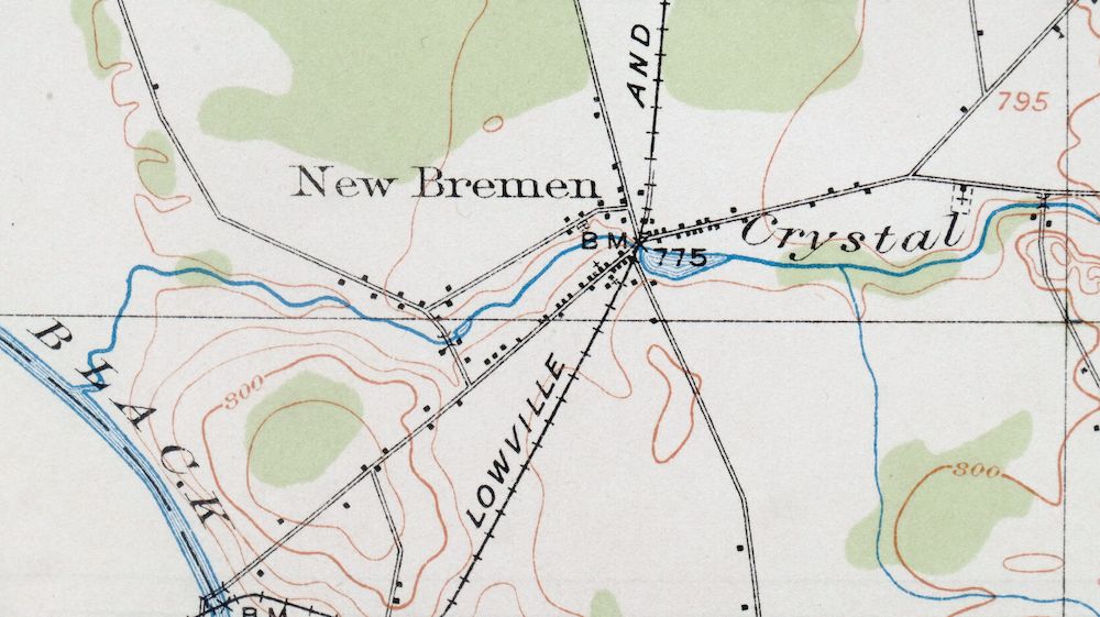
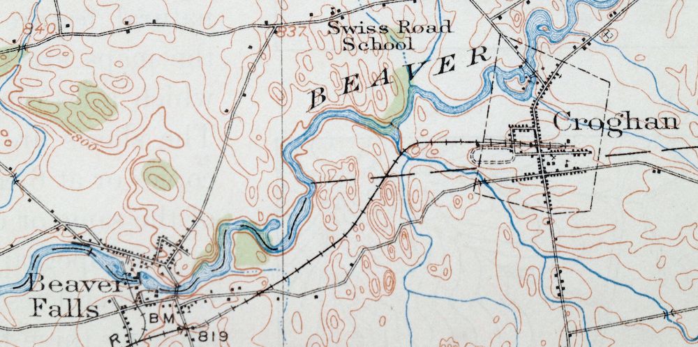
| MAP NOTES | A fascinating historical snapshot surveyed before the modern highway system, showing historic travel routes, rail lines, river crossings, and placenames. |
| SHEET CONDITION For maps of this vintage, effort is made to note all visible flaws, no matter how minor. | |
| OVERALL CONDITION | Excellent |
| SHEET NOTES | very lightly handled, never folded, smooth and flat, lightly age-toned paper |
| MAP AREA | flawless map area |
| COLLARS | no wear or tears, no markings, minor smudge in bottom collar, hole punches along left collar |
| MAP COVERAGE Quadrangle extent overlaid on current basemap. | |
| BACKSIDE LEGEND | |
 A map summary is printed on the back side of the Lowville sheet similar to the one shown in the picture. It outlines the history, purpose, and status of the USGS mapping program at the time of the printing in 1913. It also provides instructions on how to read contour lines and a description of how they are used to depict the terrain. At the bottom of the page is a legend showing all of the symbols used to represent the cultural, relief, and water features found on the map. | |
| PLACENAMES Depending on map series and survey date, all of the features listed below may not be shown on this map. This list contains features that currently exist or historically existed within the area covered by the map. The list can be used as a reference to determine if this map covers your area of interest. Placenames are listed alphabetically next to each feature type. | |
| CITIES AND TOWNS (CURRENT) | Croghan and Lowville |
| COUNTIES COVERED | Lewis |
| RIVERS AND STREAMS | Alder Creek, Beaver Meadow Creek, Beaver River, Black Creek, Black River, Burnt Creek, Butler Creek, Capidon Creek, Cold Creek, Crystal Creek, Harvey Creek, Hodge Creek, Independence River, Indian River, Mill Creek, Murmur Creek, Potash Creek, Rainbow Creek, Reynolds Creek, Sandy Creek, South Branch Crystal Creek, Swiss Creek, Tims Creek, Warner Creek, West Branch Oswegatchie River, and Widmeyer Creek |
| WATER BODIES | Beach Millpond, Belfort Pond, Chase Lake, Crystal Pond, Effley Falls Pond, Fish Pond, Halfmoon Lake, High Falls Pond, Hopsicker Pond, Huckleberry Lake, Long Lake, Payne Lake, and Putman Swamp |
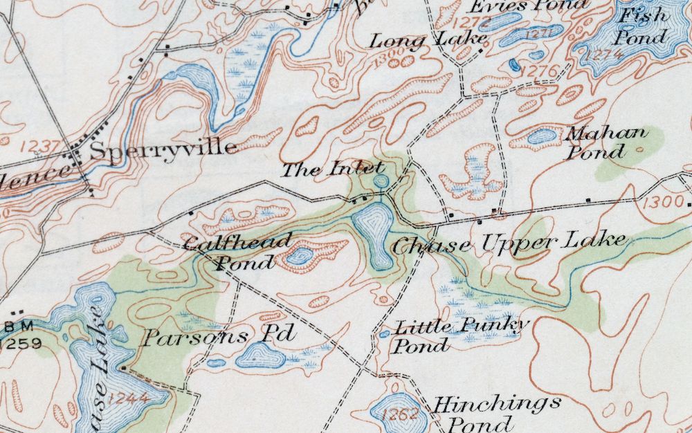
| Locations: Bushs Corners. Administrative Boundaries: Town of Croghan, Town of New Bremen, and Town of Watson. Mountains, Peaks, and Summits: Beech Hill and Charlies Hill. Drainages: Balsam Creek, Beaver Meadow Creek, Burnt Creek, Butler Creek, Black Creek, Capidon Creek, Cold Creek, Crystal Creek, Harvey Creek, Hodge Creek, Mill Creek, Murmur Creek, Rainbow Creek, Reynolds Creek, Sandy Creek, South Branch Crystal Creek, Swiss Creek, Warner Creek, and Widmeyer Creek. Islands: Pine Island. Churches: Saint Anthonys Church, Saint Peters Church, Saint Vincent De Paul Church, and Zion Church. Lakes and Ponds: Beach Millpond, Calfhead Pond, Chase Lake, Chase Upper Lake, Cleveland Lake, Crystal Lake, Crystal Pond, Evies Pond, Fish Pond, Gourd Lake, Halfmoon Lake, Hinchings Pond, Hopsicker Pond, Huckleberry Lake, The Inlet, Little Punky Pond, Long Lake, Mahan Pond, Parsons Pond, Payne Lake, and Stewart Pond. Waterfalls: Elmer Falls. Airports: Duflo Airport. Swamps: Putman Swamp. Schools: Beaver River School and Central School. Reservoirs and Tanks: Belfort Pond, Carthage Reservoir, Croghan Reservoir, Effley Falls Pond, Elmer Falls Pond, High Falls Pond, Lowville Reservoir, and Taylorville Pond. | |
| SHIPPING AND RETURNS | |
 This map sheet will be carefully rolled in a sturdy tube and shipped via the US Postal Service. If you find that the sheet you receive is not as described in the listing, you may ship it back to us for a refund of the purchase price. | |
Lowville New York Indian River Croghan USGS Topo Map 1913
$60
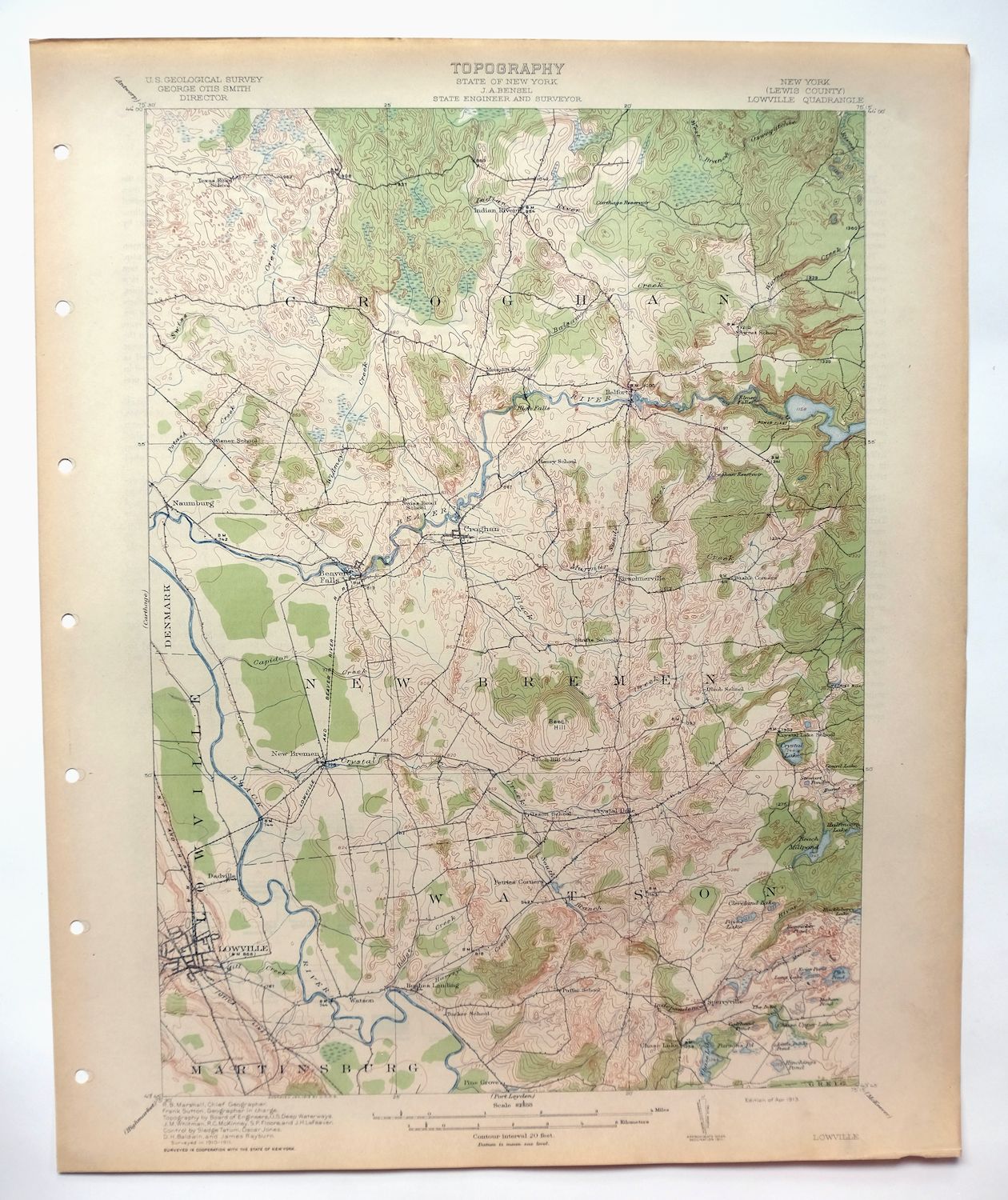
Printed in its year of first publication, 1913, this USGS 15-minute topographic sheet is an antique in excellent condition—never folded, smooth and flat, with lightly age-toned paper and a flawless map area. It takes in a stretch of Lewis County in northern New York about 70 miles northeast of Syracuse, with the towns of Lowville and Croghan within the quad boundaries along with Beaver Falls and the Indian River. Surveyed in 1910 and 1911 before the modern highway system, it records the travel routes, rail lines, river crossings, and placenames of the era, and comes from an uncommonly well-preserved collection.
In stock
This antique sheet is a 1913 edition of the Lowville New York USGS topographic map. It is an authentic 113-year-old United States Geological Survey print in excellent condition.
HOW THIS MAP CAN BE USED
In addition to making a fascinating conversation piece, this sheet would look great in a frame or on display, make a unique and prized gift for anyone interested in this area, be perfect as a reference for genealogy studies or general historical research, or fill that missing piece in your collection.
FEATURES SHOWN ON THE MAP
The Lowville 15-minute map shows cities and towns, roads, railroads, rivers, creeks, elevation contour lines, public land survey lines, county, state, and other administrative boundaries as they existed at the time of the survey in 1910 and 1911. All known structures (houses, businesses, churches, schools, barns, cabins, etc) are also shown, with exceptions in some urban areas, where only landmark buildings may be shown.
A VALUABLE HISTORICAL RECORD
Maps from the 15-minute series for the continental United States are no longer produced or printed by the USGS and original prints are becoming increasingly difficult to find. They are a valuable historical record for an area, as they contain many placenames and features that have been dropped from more recent maps.
Nearby maps
-
Carthage New York Lowville West Carthage USGS Topo Map 1904
$40 Add to cart -

Port Leyden New York Lyons Falls Turin USGS Topo Map 1907
$90 Add to cart -
Antwerp New York Fort Drum Fort Drum USGS Topo Map 1911
$46 Add to cart -

Watertown New York Adams Center Glen Park USGS Topo Map 1909
$75 Add to cart -
Theresa New York Fort Drum Calcium USGS Topographic Map 1909
$85 Add to cart -

Orwell New York Altmar USGS 15-Min Topo Map 1912 Antique
$55 Add to cart -
Old Forge New York USGS 15-Min Topographic Map 1913 Antique
$90 Add to cart -

Gouverneur New York Edwards Richville USGS Topo Map 1915
$52 Add to cart -

Boonville New York Rome USGS 15-Min Topo Map 1910 Antique
$75 Add to cart -
Hammond New York Black Lake Oxbow USGS Topo Map 1912 Antique
$52 Add to cart -
Taberg New York Rome Camden USGS 15-Min Topographic Map 1912
$55 Add to cart -
Raquette Lake New York Speculator USGS Topo Map 1964 Vintage
$32 Add to cart -
Kasoag New York Camden Constantia USGS Topographic Map 1912
$74 Add to cart -
Wilmurt New York USGS 15-Min Topographic Map 1912 Antique
$48 Add to cart -

Grindstone New York Thousand Island Park USGS Topo Map 1909
$90 Add to cart -

Mexico New York Central Square Brewerton USGS Topo Map 1905
$55 Add to cart -
Ogdensburg New York Heuvelton Lisbon USGS Topo Map 1905
$85 Add to cart -
Oriskany New York Utica Rome USGS Topo Map 1911 Antique
$85 Add to cart -
Brier Hill New York Ogdensburg Morristown USGS Topo Map 1906
$48 Add to cart -

Canton New York Potsdam Norwood USGS Topo Map 1911 Antique
$49 Add to cart -
Utica New York Ilion Herkimer USGS Topo Map 1911 Antique
$89 Add to cart -
Oneida New York Rome Canastota USGS Topo Map 1909 Antique
$52 Add to cart -
Potsdam New York Norwood Colton USGS Topographic Map 1908
$85 Add to cart -
Little Falls New York Salisbury Herkimer USGS Topo Map 1911
$52 Add to cart