MAP DETAILS | |
|---|---|
| TITLE | Ute Peak |
| STATE | Colorado |
| SURVEYED | 1933 Field Survey |
| GEOGRAPHER | Max J. Gleissner |
| PRINT NOTES | Thick paper stock, includes woodland tint (green to indicate vegetated areas) |
| SCALE | 1:62500 |
| CONTOUR INTERVAL | 50 feet |
| SHEET DIMENSIONS | 18 x 22 inches |
| MAP DIMENSIONS | 13 3/8 x 17 1/2 inches |
| COVERAGE AREA | 13 x 17 miles |
| SHEET CONDITION For maps of this vintage, effort is made to note all visible flaws, no matter how minor. | |
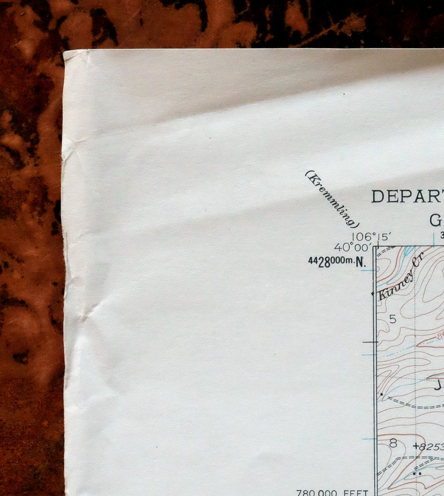
| SHEET NOTES | lightly handled, never folded |
| MAP AREA | flawless map area |
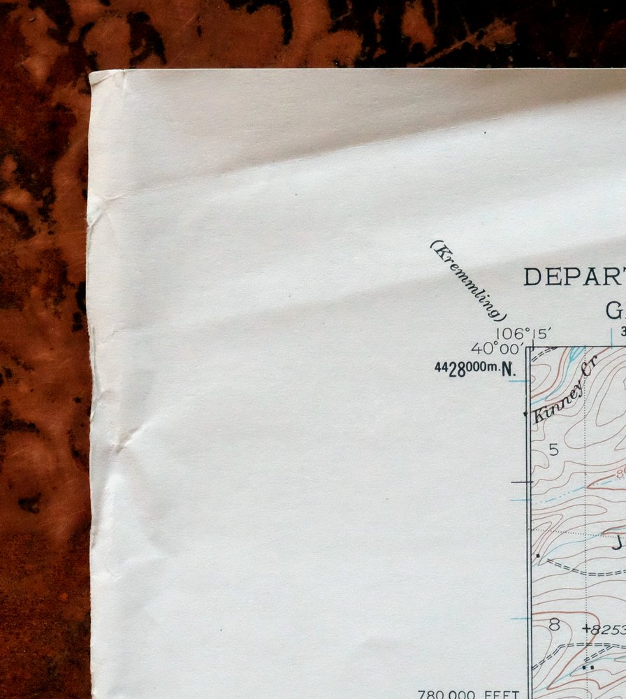
| COLLARS | no markings, no blemishes, storage wear in upper left collar |
 | |
| MAP COVERAGE Quadrangle extent overlaid on current basemap. | |
| PLACENAMES Depending on map series and survey date, all of the features listed below may not be shown on this map. This list contains features that currently exist or historically existed within the area covered by the map. The list can be used as a reference to determine if this map covers your area of interest. Placenames are listed alphabetically next to each feature type. | |
| NOTABLE PLACES | Williams River Mountains |
| COUNTIES COVERED | Grand and Summit |
| FEDERAL LAND UNITS | Arapaho National Forest, Byers Peak Wilderness, Eagles Nest Wilderness, Green Mountain Reservoir, Ptarmigan Peak Wilderness, and Ptarmigan Peak Wilderness Study Area |
| RIVERS AND STREAMS | Acorn Creek, Beaver Creek, Blue River, Boham Creek, Brush Creek, Bull Run, Cook Creek, Copper Creek, Cow Creek, Cub Creek, Darling Creek, Eightmile Creek, Harrigan Creek, Hay Camp Creek, Kelly Creek, Keyser Creek, Kinney Creek, Little Muddy Creek, Lost Creek, Middle Fork Williams Fork, North Acorn Creek, Pass Creek, Pasture Creek, Richey Creek, Skylark Creek, Slate Creek, South Battle Creek, South Brush Creek, South Fork Williams Fork, Squaw Creek, Upson Creek, Ute Creek, and Williams Fork |
| WATER BODIES | Cole Reservoir, Dale Reservoir, DeKoevend Lake, East Branch Reservoir, Green Mountain Reservoir, Langholen Reservoir, Sylvan Reservoir, Ute Creek Reservoir, and Williams Fork Reservoir |
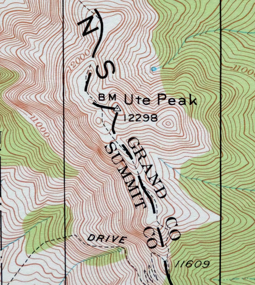
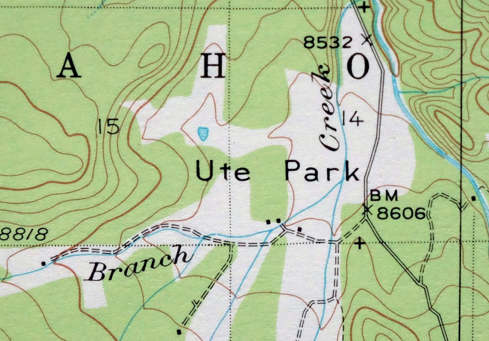
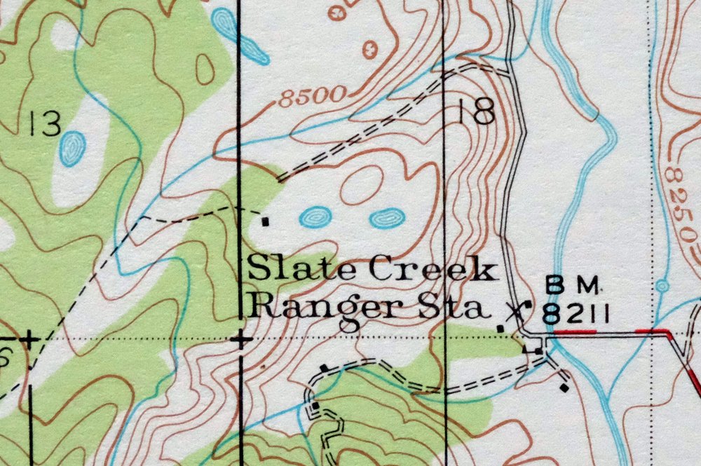
| Locations: Davis Springs Campground, Henderson Mill, Horseshoe Campground, Horseshoe Ranger Station, McDonald Flats Campground, Prairie Point Campground, Slate Creek Ranger Station, South Fork Campground, Sugarloaf Campground, and Trails End Ranch. Mountain Ranges: Williams Fork Mountains. Mountains, Peaks, and Summits: Battle Mountain, Flat Top, Old Baldy, Palmer Knob, Prairie Mountain, The Saddle, Sugarloaf, Ute Peak, and Williams Peak. Valleys and Canyons: Bar Canyon, Berry Gulch, Big Gulch, Bordoux Gulch, Brinker Gulch, Butler Gulch, Charlie Gulch, Chokecherry Gulch, Doig Gulch, Erwin Gulch, Lloyd Gulch, Lonesome Gulch, Lund Gulch, McDonald Gulch, McKinley Gulch, Miller Gulch, Morgan Gulch, Palmer Gulch, Pease Gulch, Ranger Gulch, Shane Gulch, and Spring Gulch. Parks: Blue River State Wildlife Area. Trails: Gore Range Trail, Horseshoe Sulfur Trail, Keyser Divide Trail, Muddy Keyser Trail, Sulfur Trail, Ute Pass Trail, Ute Peak Trail, and Williams Peak Trail. Drainages: Acorn Creek, Boham Creek, Brush Creek, Bull Run, Cook Creek, Cow Creek, Cub Creek, Darling Creek, East Branch Ute Creek, Harrigan Creek, Hay Camp Creek, Hole Creek, Kelly Creek, Keyser Creek, Kinney Creek, Lost Creek, Middle Fork Williams Fork, Mule Creek, North Acorn Creek, North Battle Creek, Pass Creek, Pasture Creek, Richey Creek, Simpson Creek, Skylark Creek, Slate Creek, South Battle Creek, South Brush Creek, South Fork Mule Creek, South Fork Williams Fork, Squaw Creek, Timber Creek, Upson Creek, Ute Creek, and West Branch Ute Creek. Mines: Big Four Mine. Lakes and Ponds: De Koevend Lake. Buildings: Horseshoe Guard Station. Dams: Cole Dam, Dale Dam, East Branch Dam, Langholen Dam, Sylvan Dam, and Ute Creek Dam. Bluffs: Eagle Roost and Target Bluff. Gaps: Ute Pass. Airports: Amax Mill Heliport. Schools: Columbine School, Hermosa School, Ute Park School, and Willow View School. Ridges: Curtis Ridge. Reservoirs and Tanks: Cole Reservoir, Dale Reservoir, East Branch Reservoir, Langholen Reservoir, Sylvan Reservoir, Ute Creek Reservoir, and Ute Park Reservoir. Flats: Long Park and Ute Park. Tunnels: Henderson Tunnel. | |
| SHIPPING AND RETURNS | |
 Ships carefully rolled in a sturdy 2" x 24" mailing tube. Shipping and return details are in our terms. | |
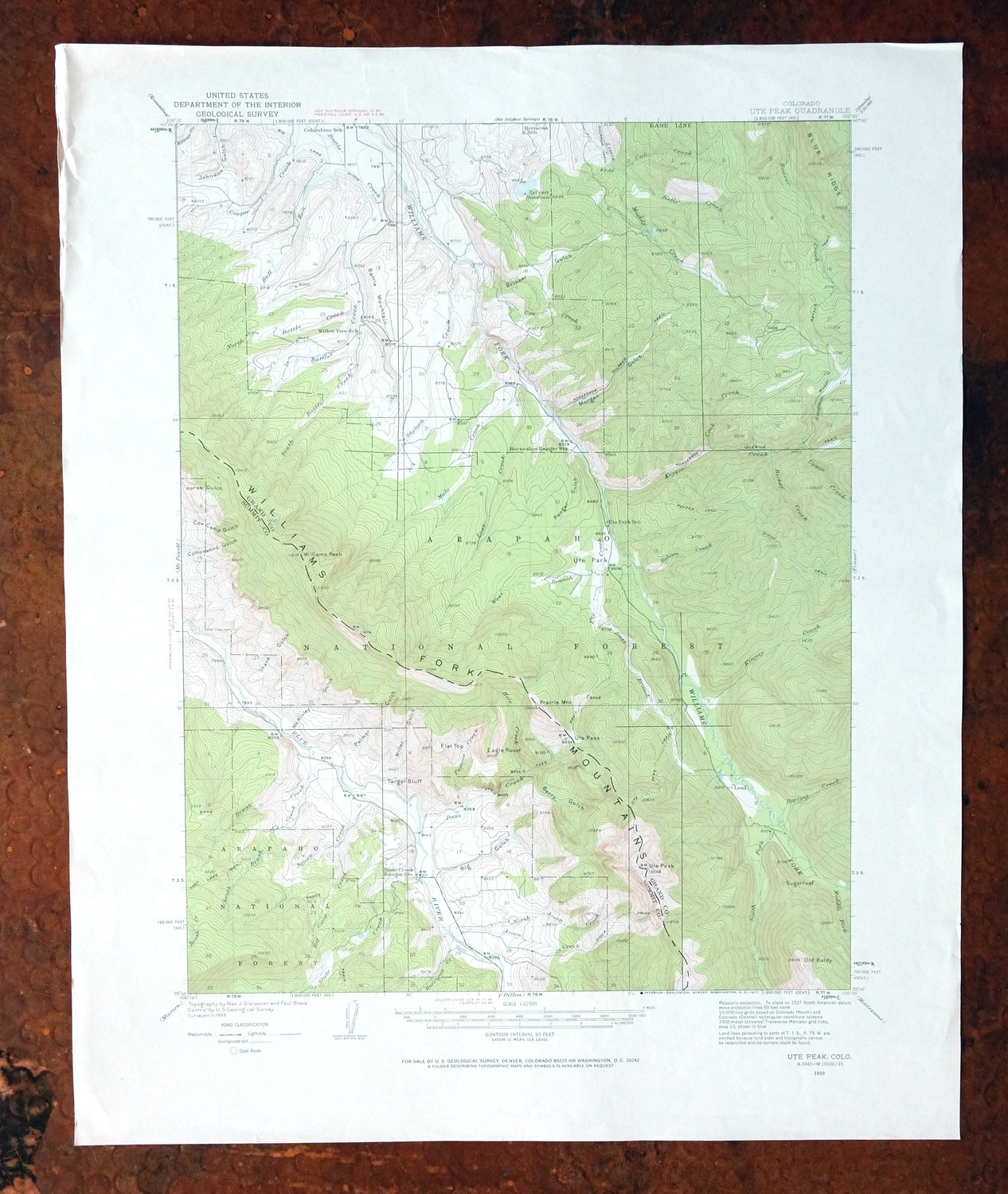
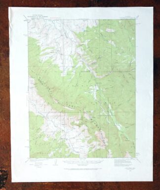
Ute Peak, Colorado 1933 USGS Topo Map (1971 Print)
$36
Surveyed before the existence of the Henderson molybdenum mine.
- 60 miles west of Denver.
- 15-minute series, 1933 edition, printed in 1971.
- Very good condition, never folded.
In stock
This vintage sheet is a 1933 edition of the Ute Peak Colorado USGS topographic map. It is an original 55-year-old 1971 United States Geological Survey print in very good condition.
HOW THIS MAP CAN BE USED
In addition to making a fascinating conversation piece, this sheet would look great in a frame or on display, make a unique and prized gift for anyone interested in this area, be perfect as a reference for genealogy studies or general historical research, or fill that missing piece in your collection. Maps of this vintage are printed on durable stock and are well-suited for outdoor activities and recreation of all kinds, including hiking, backpacking, hunting, rafting and kayaking, backcountry skiing, geocaching, general exploration, treasure hunting, etc.
FEATURES SHOWN ON THE MAP
The Ute Peak 15-minute map shows cities and towns, roads, railroads, utilities and energy infrastructure, rivers, creeks, elevation contour lines, public land survey lines, county, state, and other administrative boundaries as they existed at the time of the survey in 1933. All known structures (houses, businesses, churches, schools, barns, cabins, etc) are also shown, with exceptions in some urban areas, where only landmark buildings may be shown.
A VALUABLE HISTORICAL RECORD
Maps from the 15-minute series for the continental United States are no longer produced or printed by the USGS and original prints are becoming increasingly difficult to find. They are a valuable historical record for an area, as they contain many placenames and features that have been dropped from more recent maps.
Nearby maps
-

Mount Powell, Colorado 1940 USGS Topo Map: Gore Range
$27 Add to cart -

Mount Powell, Colorado 1933 USGS Topo Map (1974 Print)
$41 Add to cart -
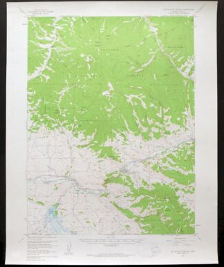
Hot Sulphur Springs, Colorado 1957 USGS Topo Map
$33 Add to cart -
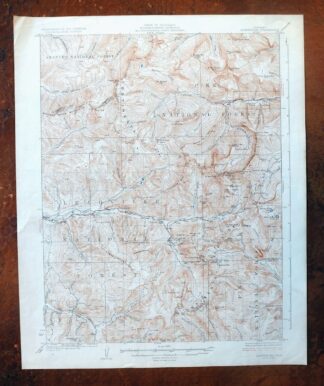
1926 USGS Topo Map: Montezuma, Keystone, Colorado
$53 Add to cart -
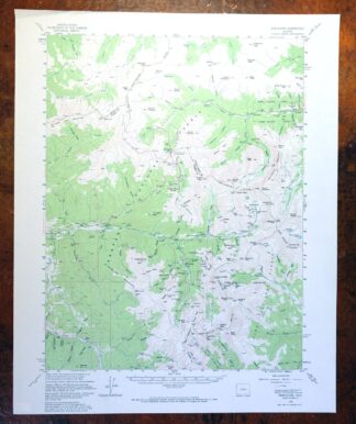
Montezuma, Keystone, Colorado 1958 USGS Topo Map
$41 Add to cart -
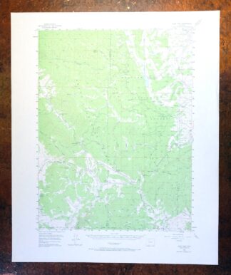
Gore Pass, Colorado 1956 USGS Topo Map: Red Dirt Reservoir
$40 Add to cart -
Georgetown, Colorado 1957 USGS Topo Map (1980 Print)
$40 Add to cart -
Rand, Colorado 1956 USGS Topo Map (1974 Print)
$34 Add to cart -
Hyannis Peak, Colorado 1956 USGS Topo Map: Rabbit Ears Range
$37 Add to cart -
Gould, Colorado 1956 USGS Topo Map: North Park
$37 Add to cart -
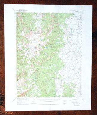
Mount Ethel, Colorado 1955 USGS Topo Map (1974 Print)
$40 Add to cart -
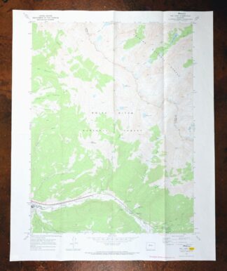
Vail East, Colorado 1970 USGS Topo Map: Gore Range
$36 Add to cart -
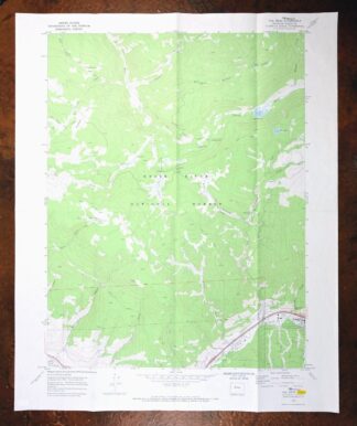
Vail West, Colorado 1970 USGS Topo Map: Gore Creek
$34 Add to cart -

Frisco, Dillon Reservoir, Colorado 1970 USGS Topo Map
$37 Add to cart -

1958 USGS Topo Map: Keystone, Tiger, Colorado
$34 Add to cart -

Red Cliff, Colorado 1970 USGS Topo Map (1988 Print)
$34 Add to cart -
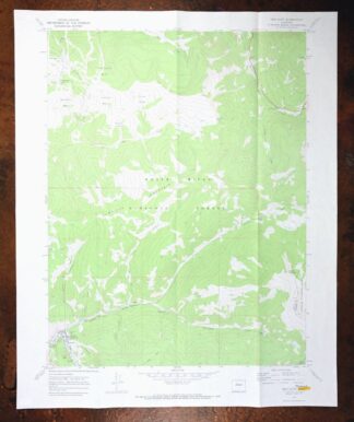
Red Cliff, Colorado 1970 USGS Topo Map: Vail Ski Resort
$49 Add to cart -
1957 USGS Topo Map: Georgetown, Silver Plume, Colorado
$32 Add to cart -
Edwards, Avon, Colorado 1962 USGS Topo Map (1988 Print)
$37 Add to cart -
1942 USGS Topo Map: Central City, Colorado (1964 Print)
$31 Add to cart -
1942 USGS Topo Map: Nederland, Eldora, Colorado (1964 Print)
$34 Add to cart -
1942 USGS Topo Map: Tungsten, Barker Reservoir, Colorado
$39 Add to cart -
Mchenrys Peak, Colorado 1957 USGS Topo Map
$33 Add to cart -
Shawnee, Colorado 1945 USGS Topo Map: Singleton (1972 Print)
$29 Add to cart