MAP DETAILS | |
|---|---|
| TITLE | Guadalupe |
| STATE | Arizona |
| LOCATION | Vicinity of Phoenix |
| SERIES | 7.5-minute |
| EDITION | 1952 |
| PRINTED | 1957 |
| PRINT NOTES | Thick paper stock, includes woodland tint (green to indicate vegetated areas) |
| SCALE | 1:24000 |
| SHEET DIMENSIONS | 22 x 27 inches |
| MAP DIMENSIONS | 19 x 22 3/4 inches |
| COVERAGE AREA | 7 x 9 miles |
| SOURCE | From the vintage map collection of Art Christiansen, Tempe, Arizona |
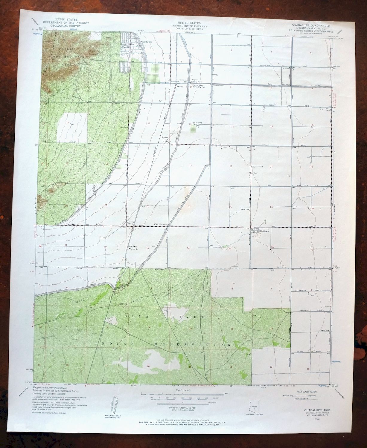
| MAP NOTES | A fascinating historical snapshot of the South Valley from around Baseline south to the present-day 202 and from South Mountain eastward to Dobson Road. |
| SHEET CONDITION For maps of this vintage, effort is made to note all visible flaws, no matter how minor. | |
| OVERALL CONDITION | Very Good |
| SHEET NOTES | lightly handled, never folded |
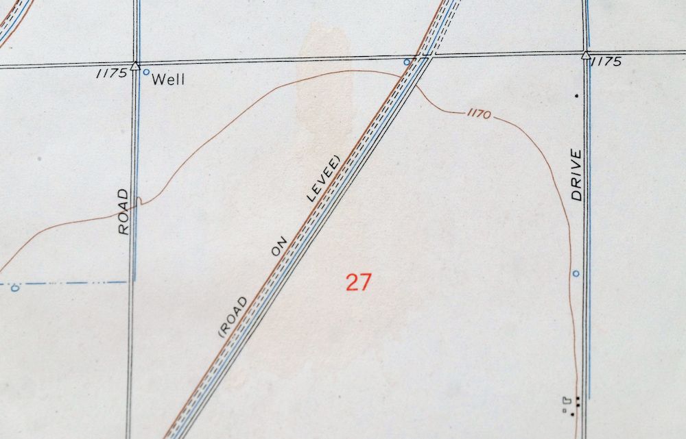
| MAP AREA | no wear, no markings |
| COLLARS | no markings, no blemishes, no edge tears |
 | |
| MAP COVERAGE Quadrangle extent overlaid on current basemap. | |
| PLACENAMES Depending on map series and survey date, all of the features listed below may not be shown on this map. This list contains features that currently exist or historically existed within the area covered by the map. The list can be used as a reference to determine if this map covers your area of interest. Placenames are listed alphabetically next to each feature type. | |
| CITIES AND TOWNS (CURRENT) | Chandler, Guadalupe, Mesa, Phoenix, and Tempe |
| COUNTIES COVERED | Maricopa |
| FEDERAL LAND UNITS | Gila River Indian Reservation |
| Locations: Arizona Mall of Tempe, Corona del Sol High School Tennis and Racquetball Courts, El Paso Natural Gas Company Compressor Station, Gila Substation, Highline Pumping Plant, Highline Substation, Kyrene Gin, Kyrene Steam Generating Plant, Tempe Municipal Golf Course, and Tempe Square Shopping Center. Valleys and Canyons: Dry Wash. Parks: Biehn Colony Park, Cesela Park, Corbell Park, Kiwanis Park, Knoll East Subdivision Mini Park, Redden Park, and Sudder Park. Lakes and Ponds: Firebird Lake. Buildings: Arizona State University Farm Laboratory, Helena Railroad Station, and West Chandler Railroad Station. Dams: Guadalupe Dam. Crossings: Interchange One Hundred Fifty Seven, Interchange One Hundred Sixty, and Interchange One Hundred Sixty Two. Canals: Kyrene Branch Canal, North Branch Highline Canal, South Branch Highland Canal, and South Highline Lateral Canal. Airports: Brenteson Wholesale Incorporated Airport, Sanders Airport, and Stellar Airpark. Schools: Aguilar School, Corona del Sol High School, Fees Junior High School, Frank School, Fuller School, Getz School, Kyrene del Norte School, Marcos de Niza High School, Rover School, Waggoner School, and Wood School. Reservoirs and Tanks: Knoll East Subdivision Water Retention Basin. Towers: KUKQ-AM (Tempe). | |
| SHIPPING AND RETURNS | |
 This map sheet will be carefully rolled in a sturdy tube and shipped via the US Postal Service. If you find that the sheet you receive is not as described in the listing, you may ship it back to us for a refund of the purchase price. | |

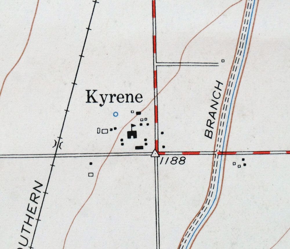
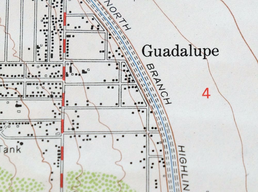
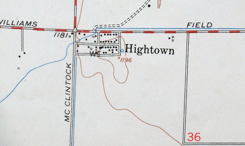
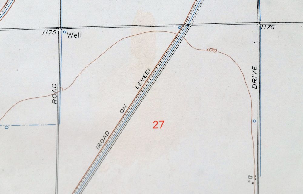
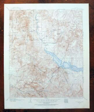
Guadalupe Arizona Phoenix Mesa USGS Topo Map 1957 Vintage
$49
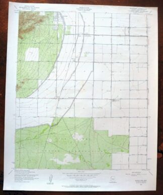
This USGS 7.5-minute topographic sheet is a 1952 edition, printed in 1957 on thick stock and kept in very good condition, lightly handled and never folded. Covering the South Valley near Phoenix, the quad takes in the town of Guadalupe along with parts of Tempe, Chandler, and Mesa, and includes a portion of the Gila River Indian Reservation across the southern edge. It offers a snapshot of the area from around Baseline south to the present-day 202 corridor and from South Mountain east to Dobson Road, before much of that landscape filled in. This sheet comes from the vintage map collection of Art Christiansen of Tempe, Arizona.
In stock
This vintage sheet is a 1952 edition of the Guadalupe Arizona USGS topographic map. It is an original 69-year-old 1957 United States Geological Survey print in very good condition.
HOW THIS MAP CAN BE USED
In addition to making a fascinating conversation piece, this sheet would look great in a frame or on display, make a unique and prized gift for anyone interested in this area, be perfect as a reference for genealogy studies or general historical research, or fill that missing piece in your collection. Maps of this vintage are printed on durable stock and are well-suited for outdoor activities and recreation of all kinds, including hiking, backpacking, hunting, rafting and kayaking, backcountry skiing, geocaching, general exploration, treasure hunting, etc.
FEATURES SHOWN ON THE MAP
The Guadalupe 7.5-minute map shows cities and towns, roads, paths, railroads, utilities and energy infrastructure, rivers, creeks, elevation contour lines, public land survey lines, county, state, and other administrative boundaries as they existed at the time of the survey. All known structures (houses, businesses, churches, schools, barns, cabins, etc) are also shown.
A VALUABLE HISTORICAL RECORD
This map is from the 7.5-minute series, the most detailed series that is widely available from the USGS. The 1952 Guadalupe map is a valuable historical record for the area. It contains some placenames and features that have been dropped from more recent maps.
Nearby maps
-
Phoenix Arizona USGS 7.5-Min Topographic Map 1968 Vintage
$32 Add to cart -

Mesa Arizona Gilbert Salt River USGS Topo Map 1965 Vintage
$95 Add to cart -
Fowler Arizona Phoenix Tolleson USGS Topo Map 1957 Vintage
$41 Add to cart -
Maricopa Arizona Ak-Chin Rancho El Dorado USGS Topo Map 1968
$45 Add to cart -
Glendale Arizona Phoenix Peoria USGS Topo Map 1975 Vintage
$37 Add to cart -
Apache Junction Arizona Tonto NF Mesa USGS Topo Map 1975
$42 Add to cart -
Casa Grande West Arizona USGS 7.5-Min Topo Map 1967 Vintage
$32 Add to cart -

Mcdowell Peak Arizona Scottsdale USGS Topo Map 1967 Vintage
$37 Add to cart -
Casa Grande East Arizona USGS 7.5-Min Topo Map 1975 Vintage
$38 Add to cart -

Gila Butte Arizona Chandler Santan USGS Topographic Map 1966
$37 Add to cart -
Maricopa Arizona Ak-Chin Village USGS Topo Map 1967 Vintage
$46 Add to cart -

Desert Well Arizona Apache Junction Mesa USGS Topo Map 1906
$65 Add to cart -

Sacaton Arizona Gilbert Coolidge USGS Topographic Map 1948
$45 Add to cart -

Camelback Arizona Tonto NF Phoenix USGS 15-Min Topo Map 1948
$55 Add to cart -

Avondale Arizona Phoenix Goodyear USGS Topo Map 1965 Vintage
$55 Add to cart -

Mobile Arizona Goodyear USGS 15-Min Topo Map 1951 Vintage
$37 Add to cart -
Casa Grande Arizona Stanfield Bon USGS Topographic Map 1959
$44 Add to cart -

Cave Creek Arizona Phoenix Mesa USGS Topo Map 1963 Vintage
$44 Add to cart -
Signal Peak Arizona Casa Grande Eloy USGS Topo Map 1960
$45 Add to cart -
Buckeye Arizona Palo Verde USGS 15-Min Topo Map 1963 Vintage
$65 Add to cart -

Florence Arizona Apache Junction Superior USGS Topo Map 1917
$70 Add to cart -

Superior Arizona Top-of-the-World USGS Topo Map 1957 Vintage
$45 Add to cart -
Gila Bend Arizona Bosque USGS 15-Min Topo Map 1955 Vintage
$38 Add to cart -
Roosevelt Arizona Four Peaks Tonto Basin USGS Topo Map 1956
$52 Add to cart