MAP DETAILS | |
|---|---|
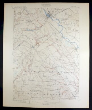
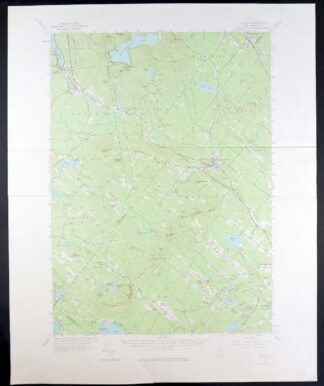
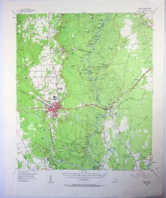
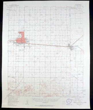
| TITLE | Evanston |
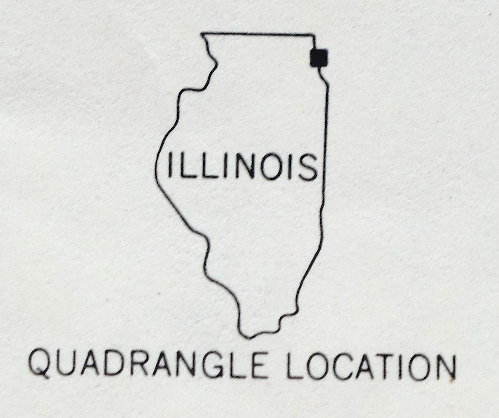
| STATE | Illinois |
| LOCATION | Vicinity of Chicago |
| SERIES | 7.5-minute |
| EDITION | 1963 |
| PRINTED | 1964 |
| SCALE | 1:24000 |
| SHEET DIMENSIONS | 22 x 27 inches (approximate) |
| MAP DIMENSIONS | 16 7/8 x 22 3/4 inches |
| COVERAGE AREA | 6 x 9 miles |
| SHEET CONDITION For maps of this vintage, effort is made to note all visible flaws, no matter how minor. | |
| OVERALL CONDITION | Good |
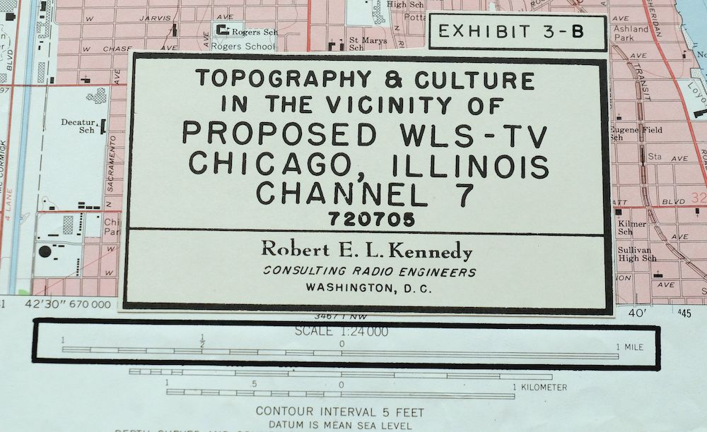
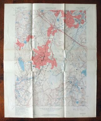
| SHEET NOTES | lightly handled, midsheet horizontal foldline (in half), pencilled map title on back of sheet, communication infrastructure transects neatly applied to sheet |
| MAP AREA | no wear, no blemishes, engineering firm title box added to bottom center portion of map |
| COLLARS | no wear or tears, minor markings, no blemishes |
 | |
| MAP COVERAGE Quadrangle extent overlaid on current basemap. | |
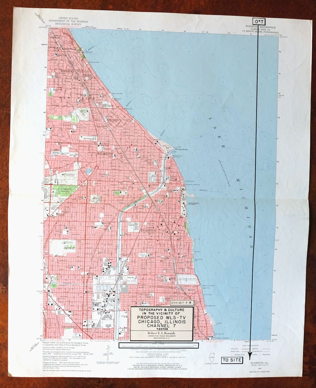

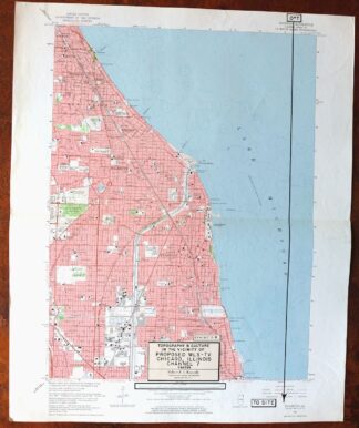
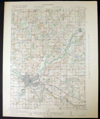
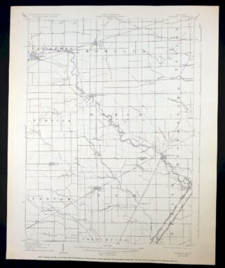
Evanston Illinois Chicago USGS 7.5-Min Topo Map 1964 Vintage
$31
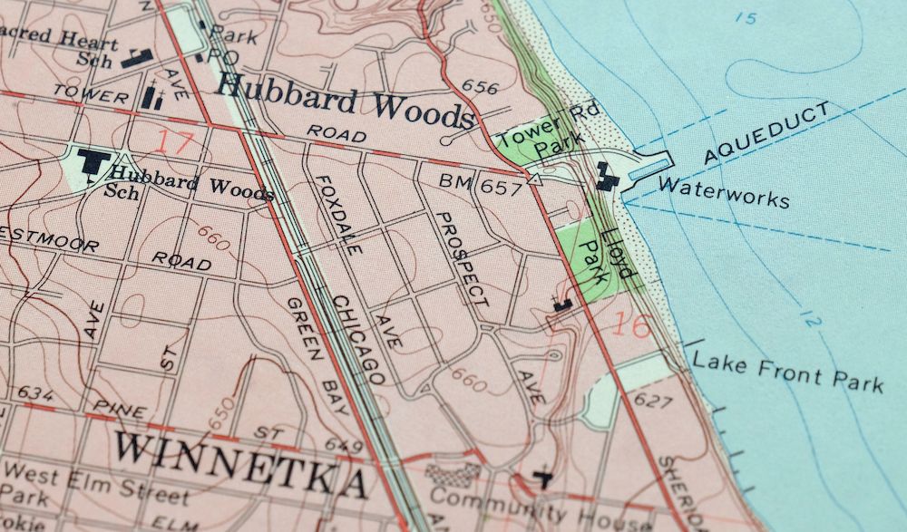
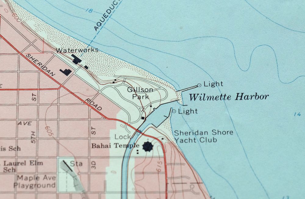
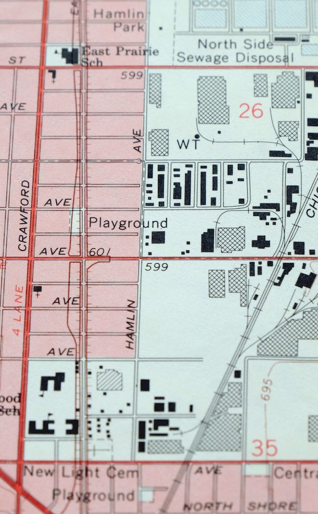
This USGS 7.5-minute topographic map is a 1963 edition printed in 1964, in good condition on thick stock, lightly handled with a midsheet horizontal foldline. It takes in the northern lakefront suburbs along Lake Michigan just above Chicago, with the quad area including Evanston, Skokie, Wilmette, Winnetka, Glencoe, and Kenilworth in Cook County. The sheet carries traces of working use—an engineering firm’s title box added to the bottom center of the map and communication infrastructure transects neatly applied—which give it a history of its own beyond the printed cartography.
In stock
This vintage sheet is a 1963 edition of the Evanston Illinois USGS topographic map. It is an original 62-year-old 1964 United States Geological Survey print in good condition.
HOW THIS MAP CAN BE USED
In addition to making a fascinating conversation piece, this sheet would look great in a frame or on display, make a unique and prized gift for anyone interested in this area, be perfect as a reference for genealogy studies or general historical research, or fill that missing piece in your collection. Maps of this vintage are printed on durable stock and are well-suited for outdoor activities and recreation of all kinds, including hiking, backpacking, hunting, rafting and kayaking, backcountry skiing, geocaching, general exploration, treasure hunting, etc.
FEATURES SHOWN ON THE MAP
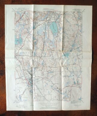
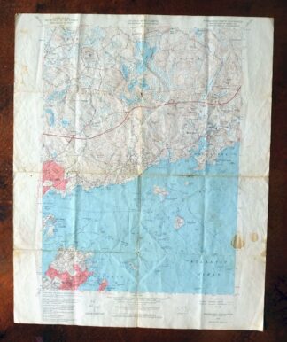
The Evanston 7.5-minute map shows cities and towns, roads, paths, railroads, utilities and energy infrastructure, rivers, creeks, elevation contour lines, public land survey lines, county, state, and other administrative boundaries as they existed at the time of the survey. A reddish tint is used on this sheet to indicate urban areas where only landmark buildings are depicted. Outside of those areas, all known structures (houses, businesses, churches, schools, barns, cabins, etc) are shown.
A VALUABLE HISTORICAL RECORD
This map is from the 7.5-minute series, the most detailed series that is widely available from the USGS. The 1963 Evanston map is a valuable historical record for the area. It contains some placenames and features that have been dropped from more recent maps.
PLACENAMES
The following places are found within the boundary of this quadrangle. They may or may not be shown or labeled, depending on the map series and vintage.
* Cities and Towns-> Chicago, Evanston, Glencoe, Kenilworth, Lincolnwood, Skokie, Wilmette, and Winnetka
* Counties Covered-> Cook
* Rivers and Streams-> Chicago Sanitary And Ship Canal
* Water Bodies-> Lake Michigan
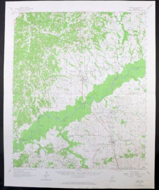
Nearby maps
-
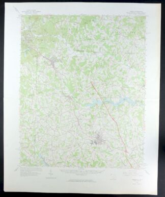
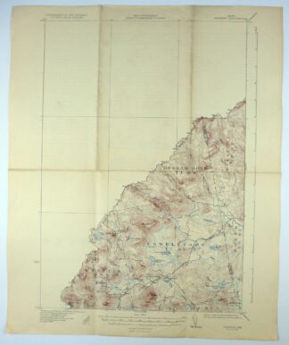
Blue Island Illinois Chicago Posen USGS Topographic Map 1965
$31 Add to cart -
Battle Creek Michigan Springfield USGS Topo Map 1918 Antique
$55 Add to cart -
Corunna Michigan Owosso Durand USGS Topo Map 1929 Antique
$45 Add to cart -
Saginaw Michigan Shiawassee NWR Zilwaukee USGS Topo Map 1919
$64 Add to cart -
Romulus Michigan Taylor Woodhaven USGS Topo Map 1926 Antique
$50 Add to cart -
Pocatalico West Virginia Dunbar USGS Topographic Map 1977
$30 Add to cart -
Charleston West West Virginia Dunbar USGS Topo Map 1978
$34 Add to cart -
Tigerville South Carolina Tryon USGS Topographic Map 1973
$32 Add to cart -
Inman South Carolina Boiling Springs USGS Topo Map 1964
$45 Add to cart -
Carthage New York Lowville West Carthage USGS Topo Map 1904
$55 Add to cart -
Flora Mississippi Tinsley Bentonia USGS 15-Min Topo Map 1967
$32 Add to cart -
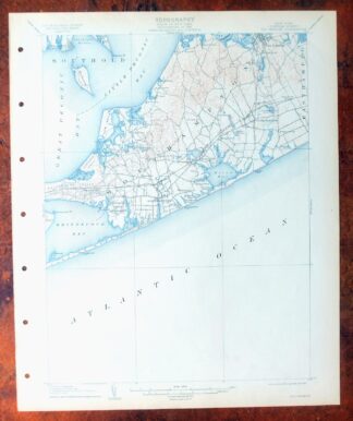
Sag Harbor New York Hampton Bays USGS Topo Map 1913 Antique
$250 Add to cart -
Alton New Hampshire Farmington Strafford USGS Topo Map 1977
$22 Add to cart -
Norwood Massachusetts Boston Dover USGS Topographic Map 1960
$25 Add to cart -
Mansfield Massachusetts Sharon Walpole USGS Topo Map 1961
$30 Add to cart -
Marblehead North Massachusetts Salem USGS Topo Map 1965
$5 Add to cart -
Chain Lakes Maine Round Mountain USGS Topo Map 1935 Antique
$26 Add to cart -
Silsbee Texas Lumberton Evadale USGS Topo Map 1963 Vintage
$38 Add to cart -
Skinner Maine Lowelltown USGS 15-Min Topo Map 1931 Antique
$27 Add to cart -
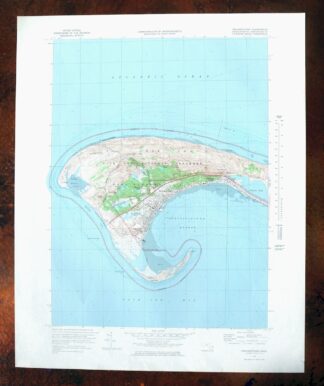
Provincetown Massachusetts USGS Topographic Map 1978 Vintage
$68 Add to cart -
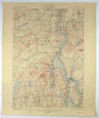
Bucksport Maine Brewer Hampden USGS Topo Map 1914 Antique
$62 Add to cart -

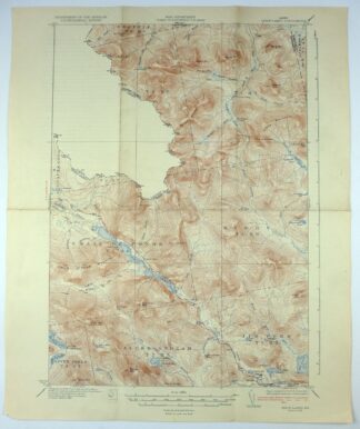
Montezuma Colorado Keystone USGS 15-Min Topographic Map 1926
$66 Add to cart -
Clovis New Mexico Texico Farwell USGS Topo Map 1958 Vintage
$35 Add to cart -

Vail West Colorado Avon USGS 7.5-Min Topo Map 1973 Vintage
$42 Add to cart