| MAP DETAILS | |
|---|---|
| TITLE | Desert Well |
| STATE | Arizona |
| LOCATION | Vicinity of Mesa, 25 miles east of Phoenix |
| SERIES | 15-minute |
| SURVEYED | 1904 Field Survey |
| GEOGRAPHER | E.M. Douglas |
| ENGRAVED | 1906 |
| EDITION | 1906 |
| PRINTED | 1906 |
| SCALE | 1:62500 |
| CONTOUR INTERVAL | 50 feet |
| SHEET DIMENSIONS | 17 x 21 inches (approximate) |
| MAP DIMENSIONS | 14 5/8 x 17 1/2 inches |
| COVERAGE AREA | 14 x 17 miles |
| SHEET CONDITION For maps of this vintage, effort is made to note all visible flaws, no matter how minor. | |
| OVERALL CONDITION | Good |
| SHEET NOTES | never folded, lightly age-toned sheet, some handling wear on bottom portion of sheet |
| MAP AREA | no wear, no blemishes, minor pencil markings found in southwest portion of map |
| COLLARS | no markings, no blemishes, minor edge tears carefully stabilized with clear archival tape on backside of sheet |
| MAP COVERAGE Quadrangle extent overlaid on current basemap. | |
| BACKSIDE LEGEND | |
 A map summary is printed on the back side of the Desert Well sheet similar to the one shown in the picture. It outlines the history, purpose, and status of the USGS mapping program at the time of the printing in 1906. It also provides instructions on how to read contour lines and a description of how they are used to depict the terrain. At the bottom of the page is a legend showing all of the symbols used to represent the cultural, relief, and water features found on the map. | |
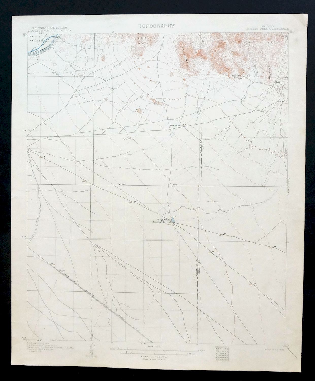
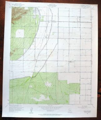
Desert Well Arizona Apache Junction Mesa USGS Topo Map 1906
$75
Printed in its year of first publication, 1906, this USGS 15-minute topographic sheet is an antique in good condition, never folded and printed on thick stock, with light age-toning and some handling wear on the bottom. Engraved in 1906 from a 1904 field survey under geographer E.M. Douglas, it takes in the country east of Phoenix around Mesa, with the quad area reaching across Maricopa and Pinal counties to include Queen Creek, Apache Junction, and portions of the Tonto National Forest and Salt River Indian Reservation. The sheet shows this stretch of desert as it stood at the turn of the last century, decades before the suburban growth that would fill in much of the land between Mesa and the mountains, and the reverse carries printed reference material on reading the map. Minor edge tears in the collar have been carefully stabilized with clear archival tape on the back.
In stock
This antique sheet is a 1906 edition of the Desert Well Arizona USGS topographic map. It is an authentic 120-year-old United States Geological Survey print in good condition.
HOW THIS MAP CAN BE USED
In addition to making a fascinating conversation piece, this sheet would look great in a frame or on display, make a unique and prized gift for anyone interested in this area, be perfect as a reference for genealogy studies or general historical research, or fill that missing piece in your collection.
FEATURES SHOWN ON THE MAP
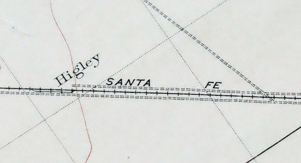
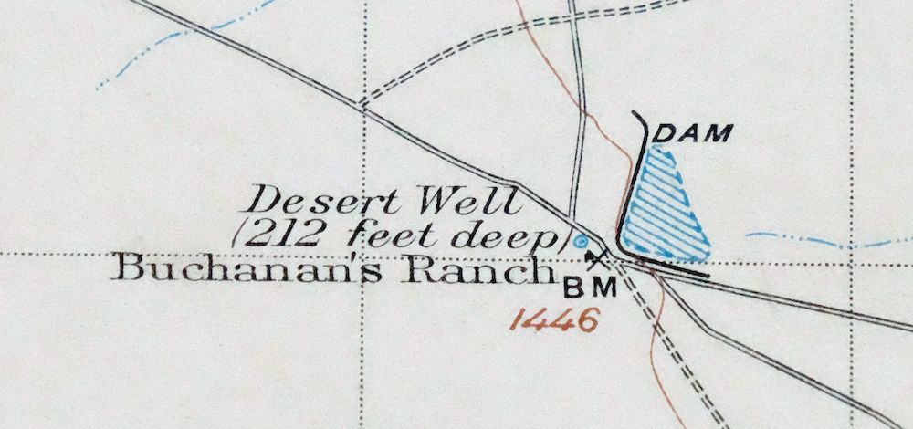
The Desert Well 15-minute map shows cities and towns, roads, railroads, rivers, creeks, elevation contour lines, public land survey lines, county, state, and other administrative boundaries as they existed at the time of the survey in 1904. All known structures (houses, businesses, churches, schools, barns, cabins, etc) are also shown, with exceptions in some urban areas, where only landmark buildings may be shown.
A VALUABLE HISTORICAL RECORD
Maps from the 15-minute series for the continental United States are no longer produced or printed by the USGS and original prints are becoming increasingly difficult to find. They are a valuable historical record for an area, as they contain many placenames and features that have been dropped from more recent maps.
PLACENAMES
The following places are found within the boundary of this quadrangle. They may or may not be shown or labeled, depending on the map series and vintage.
* Cities and Towns-> Apache Junction, Germann, Gilbert, Gold Camp, Higley, Mesa, and Queen Creek
* Counties Covered-> Maricopa and Pinal
* Federal Land Units-> Rittenhouse Air Force Auxiliary Field, Salt River Indian Reservation, Tonto National Forest, and Williams Air Force Base (Closed)
* Rivers and Streams-> Bulldog Wash, Queen Creek, Salt River, and Weekes Wash
Nearby maps
-

Sacaton Arizona Gilbert Coolidge USGS Topographic Map 1948
$60 Add to cart -

Camelback Arizona Tonto NF Phoenix USGS 15-Min Topo Map 1948
$61 Add to cart -

Gila Butte Arizona Chandler Santan USGS Topographic Map 1966
$47 Add to cart -

Superior Arizona Top-of-the-World USGS Topo Map 1957 Vintage
$75 Add to cart -
Maricopa Arizona Ak-Chin Village USGS Topo Map 1967 Vintage
$46 Add to cart -
Signal Peak Arizona Casa Grande Eloy USGS Topo Map 1960
$49 Add to cart -
Casa Grande Arizona Stanfield Bon USGS Topographic Map 1959
$52 Add to cart -

Avondale Arizona Phoenix Goodyear USGS Topo Map 1965 Vintage
$66 Add to cart -
Globe Arizona Miami Claypool USGS Topo Map 1955 Vintage
$55 Add to cart -

Mobile Arizona Goodyear USGS 15-Min Topo Map 1951 Vintage
$52 Add to cart -
Payson Arizona Sun Valley Gisela USGS Topo Map 1965 Vintage
$64 Add to cart -
Red Rock Arizona Picacho Peak Marana USGS Topo Map 1965
$47 Add to cart -
Winkelman Arizona Dudleyville Hayden USGS Topo Map 1966
$47 Add to cart -
Buckeye Arizona Palo Verde USGS 15-Min Topo Map 1963 Vintage
$65 Add to cart -

Tortolita Mountains Arizona USGS 15-Min Topographic Map 1964
$46 Add to cart -
Christmas Arizona USGS 15-Min Topographic Map 1917 Antique
$65 Add to cart -
Gila Bend Arizona Bosque USGS 15-Min Topo Map 1955 Vintage
$47 Add to cart -
Crown King Arizona Prescott NF USGS Topo Map 1955 Vintage
$46 Add to cart -
Oracle Arizona Catalina USGS 15-Min Topo Map 1964 Vintage
$52 Add to cart -
Apache Junction Arizona Tonto NF Mesa USGS Topo Map 1975
$52 Add to cart -

Mesa Arizona Gilbert Salt River USGS Topo Map 1965 Vintage
$95 Add to cart -
Guadalupe Arizona Phoenix Mesa USGS Topo Map 1957 Vintage
$49 Add to cart -

Florence Arizona Apache Junction Superior USGS Topo Map 1917
$73 Add to cart -

Mcdowell Peak Arizona Scottsdale USGS Topo Map 1967 Vintage
$64 Add to cart
