MAP DETAILS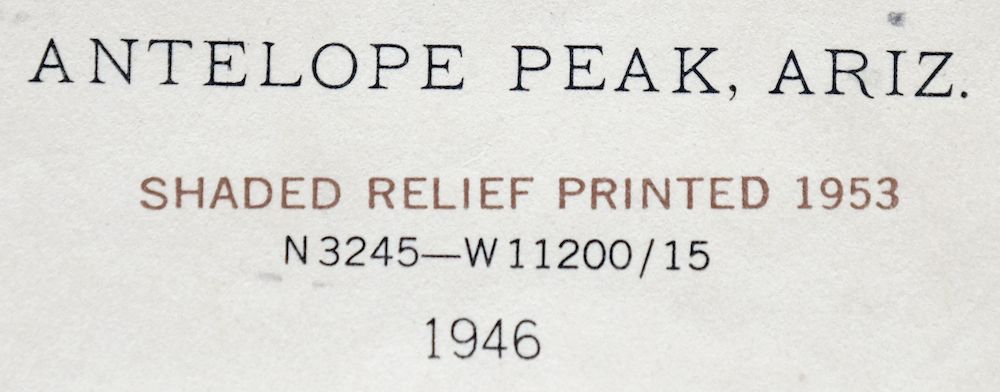 | |
|---|---|
| TITLE | Antelope Peak |
| STATE | Arizona |
| LOCATION | 40 miles south of Phoenix |
| SERIES | 15-minute |
| SURVEYED | 1946 Aerial and Field Survey |
| EDITION | 1946 |
| PRINTED | 1955 |
| PRINT NOTES | Thick paper stock |
| SCALE | 1:62500 |
| CONTOUR INTERVAL | 25 feet |
| SHEET DIMENSIONS | 17 x 21 inches (approximate) |
| MAP DIMENSIONS | 14 3/4 x 17 1/2 inches |
| COVERAGE AREA | 14 x 17 miles |
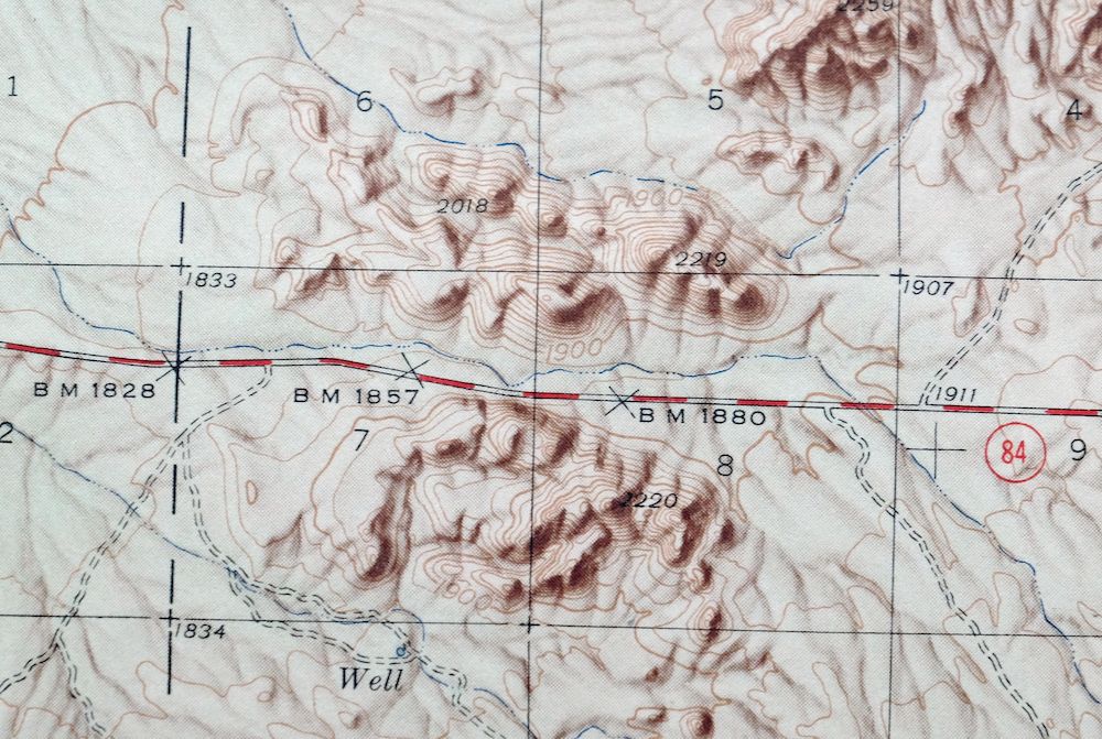
| MAP NOTES | Attractive hillshade effect to aid in terrain visualization; surveyed before existence of Interstate 8. |
| SHEET CONDITION For maps of this vintage, effort is made to note all visible flaws, no matter how minor. | |
| OVERALL CONDITION | Very Good |
| SHEET NOTES | lightly handled, never folded, lightly age-toned sheet |
| MAP AREA | no wear, no markings, very minor blemishes |
| COLLARS | very minor markings, very minor blemishes, no edge tears, minor edge wear |
| MAP COVERAGE Quadrangle extent overlaid on current basemap. | |
| PLACENAMES Depending on map series and survey date, all of the features listed below may not be shown on this map. This list contains features that currently exist or historically existed within the area covered by the map. The list can be used as a reference to determine if this map covers your area of interest. Placenames are listed alphabetically next to each feature type. | |
| COUNTIES COVERED | Maricopa and Pinal |
| FEDERAL LAND UNITS | Maricopa Indian Reservation, Table Top Wilderness, and Tohono O'odham Indian Reservation |
| RIVERS AND STREAMS | Vekol Wash and Waterman Wash |
| Mountains, Peaks, and Summits: Antelope Peak, Booth Hills, Haley Hills, Indian Butte, Needle Peak, Papago Butte, Table Top, and Table Top Mountains. Valleys and Canyons: Hidden Valley and Vekol Valley. Parks: Pinal County West Park. Drainages: Antelope Wash. Crossings: Hidden Valley Interchange. Airports: A K Chin Community Airfield, Ak Chin Community Airfield, Donnelly Residence Airport, and G M Ranch Airport. Reservoirs and Tanks: Poverty Flat Tank. Wells: Dry Well. | |
| SHIPPING AND RETURNS | |
 This map sheet will be carefully rolled in a sturdy tube and shipped via the US Postal Service. If you find that the sheet you receive is not as described in the listing, you may ship it back to us for a refund of the purchase price. | |

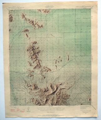
1955 USGS Topo Map: Antelope Peak, Arizona
$36
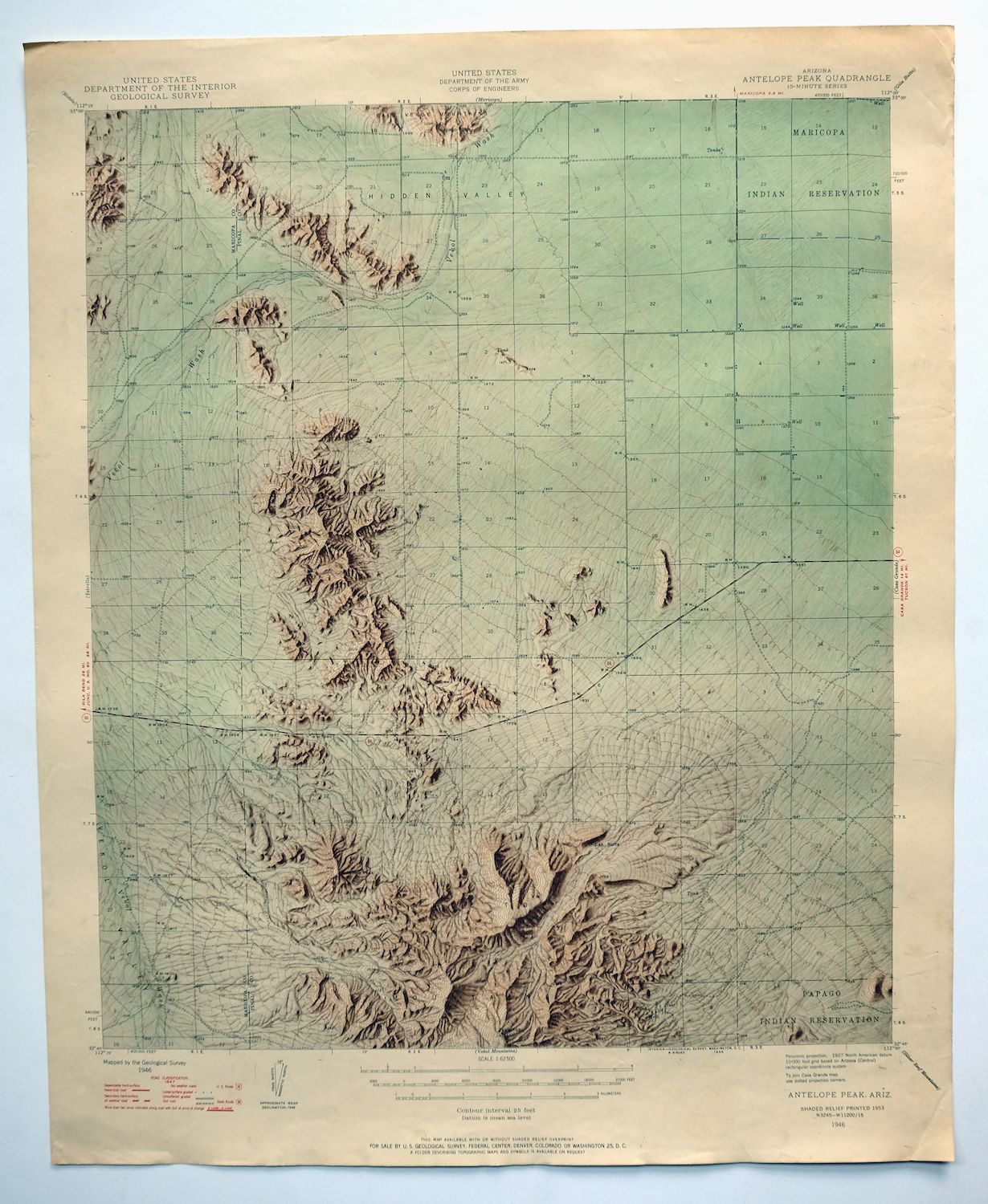
Attractive hillshade effect to aid in terrain visualization; surveyed before existence of Interstate 8. This is a USGS 15-minute topographic sheet for the Antelope Peak quad in south-central Arizona, printed in 1955 from a 1946 edition drawn at a scale of 1:62,500 with 25-foot contours. Lying about 40 miles south of Phoenix, it spans parts of Maricopa and Pinal counties and takes in portions of the Tohono O’odham and Maricopa reservations and the desert country around what is now the Table Top Wilderness.
In stock
This vintage sheet is a 1946 edition of the Antelope Peak Arizona USGS topographic map. It is an original 71-year-old 1955 United States Geological Survey print in very good condition.
HOW THIS MAP CAN BE USED
In addition to making a fascinating conversation piece, this sheet would look great in a frame or on display, make a unique and prized gift for anyone interested in this area, be perfect as a reference for genealogy studies or general historical research, or fill that missing piece in your collection. Maps of this vintage are printed on durable stock and are well-suited for outdoor activities and recreation of all kinds, including hiking, backpacking, hunting, rafting and kayaking, backcountry skiing, geocaching, general exploration, treasure hunting, etc.
FEATURES SHOWN ON THE MAP
The Antelope Peak 15-minute map shows cities and towns, roads, railroads, utilities and energy infrastructure, rivers, creeks, elevation contour lines, public land survey lines, county, state, and other administrative boundaries as they existed at the time of the survey in 1946. All known structures (houses, businesses, churches, schools, barns, cabins, etc) are also shown.
A VALUABLE HISTORICAL RECORD
Maps from the 15-minute series for the continental United States are no longer produced or printed by the USGS and original prints are becoming increasingly difficult to find. They are a valuable historical record for an area, as they contain many placenames and features that have been dropped from more recent maps.
Nearby maps
-
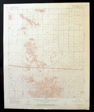
1968 USGS Topo Map: Antelope Peak, Arizona
$25 Add to cart -
Casa Grande Arizona Stanfield Bon USGS Topographic Map 1959
$44 Add to cart -
Maricopa Arizona Ak-Chin Village USGS Topo Map 1967 Vintage
$46 Add to cart -

Mobile Arizona Goodyear USGS 15-Min Topo Map 1951 Vintage
$37 Add to cart -

Gila Butte Arizona Chandler Santan USGS Topographic Map 1966
$54 Add to cart -
Gila Bend Arizona Bosque USGS 15-Min Topo Map 1955 Vintage
$38 Add to cart -
Signal Peak Arizona Casa Grande Eloy USGS Topo Map 1960
$45 Add to cart -

Sacaton Arizona Gilbert Coolidge USGS Topographic Map 1948
$42 Add to cart -
Sacaton Arizona Gilbert Coolidge USGS Topographic Map 1907
$90 Add to cart -
Hat Mountain Arizona Sauceda Mountains USGS Topo Map 1959
$30 Add to cart -
Gu Achi Arizona Santa Rosa Anegam USGS Topo Map 1964 Vintage
$28 Add to cart -
1960 Phoenix Arizona USGS Topo Map: Tolleson
$52 Add to cart -
1968 Phoenix Arizona USGS Topo Map: Tolleson
$49 Add to cart -

Avondale Arizona Phoenix Goodyear USGS Topo Map 1965 Vintage
$54 Add to cart -

Mesa Arizona Phoenix Scottsdale USGS Topo Map 1960 Vintage
$78 Add to cart -
Cimarron Peak Arizona Papago Hickiwan USGS Topo Map 1964
$40 Add to cart -

Theba Arizona Sauceda Mountains Gila Bend USGS Topo Map 1951
$32 Add to cart -

Desert Well Arizona Apache Junction Mesa USGS Topo Map 1906
$63 Add to cart -
Buckeye Arizona Palo Verde USGS 15-Min Topo Map 1963 Vintage
$64 Add to cart -

Sikort Chuapo Mountains Arizona Why USGS Topo Map 1963
$34 Add to cart -
Vaca Hills Arizona Papago USGS Topographic Map 1965 Vintage
$32 Add to cart -
1961 USGS Topo Map: Vaca Hills, Arizona
$37 Add to cart -
Red Rock Arizona Picacho Peak Marana USGS Topo Map 1965
$46 Add to cart -

Camelback Arizona Tonto NF Phoenix USGS 15-Min Topo Map 1948
$55 Add to cart