MAP DETAILS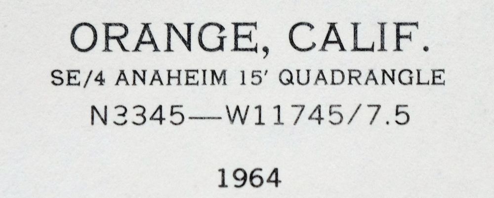 | |
|---|---|
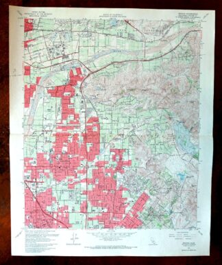
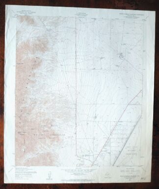
| TITLE | Orange |
| STATE | California |
| LOCATION | Vicinity of Anaheim, 30 miles southeast of Los Angeles |
| SERIES | 7.5-minute |
| EDITION | 1964 |
| PRINTED | 1970 |
| SCALE | 1:24000 |
| SHEET DIMENSIONS | 22 x 27 inches (approximate) |
| MAP DIMENSIONS | 18 7/8 x 22 3/4 inches |
| COVERAGE AREA | 7 x 9 miles |
| SHEET CONDITION For maps of this vintage, effort is made to note all visible flaws, no matter how minor. | |
| OVERALL CONDITION | Good |
| SHEET NOTES | lightly handled, midsheet horizontal foldline (in half), small color-pencilled map title on back of sheet |
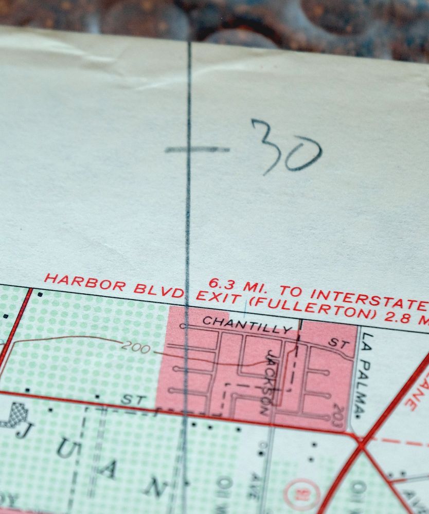
| MAP AREA | no wear, no blemishes, linear pencilled notation across northern portion of map |
| COLLARS | no wear or tears, no blemishes |
 | |
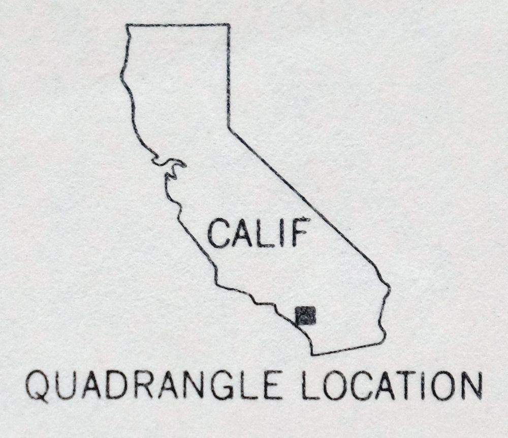
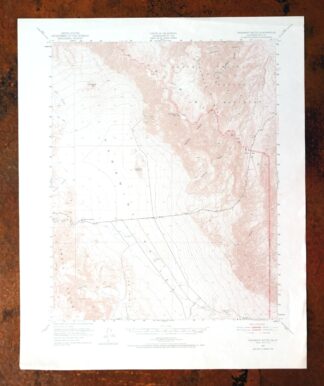
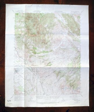
| MAP COVERAGE Quadrangle extent overlaid on current basemap. | |

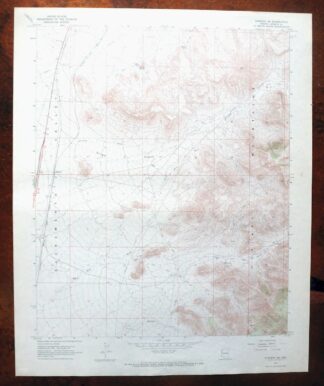
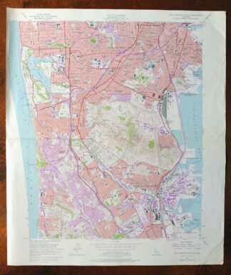
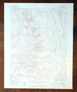
Orange Anaheim California Vintage USGS Topographic Map 1970
$36
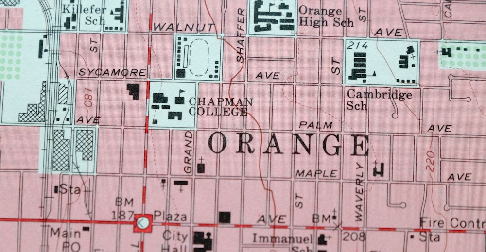
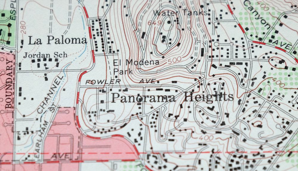
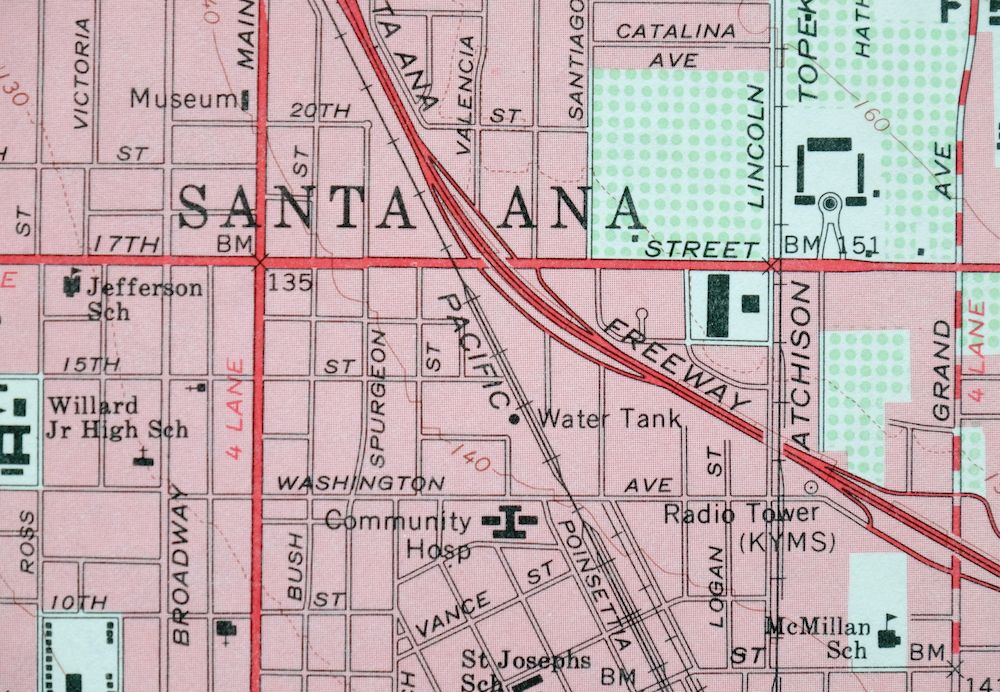
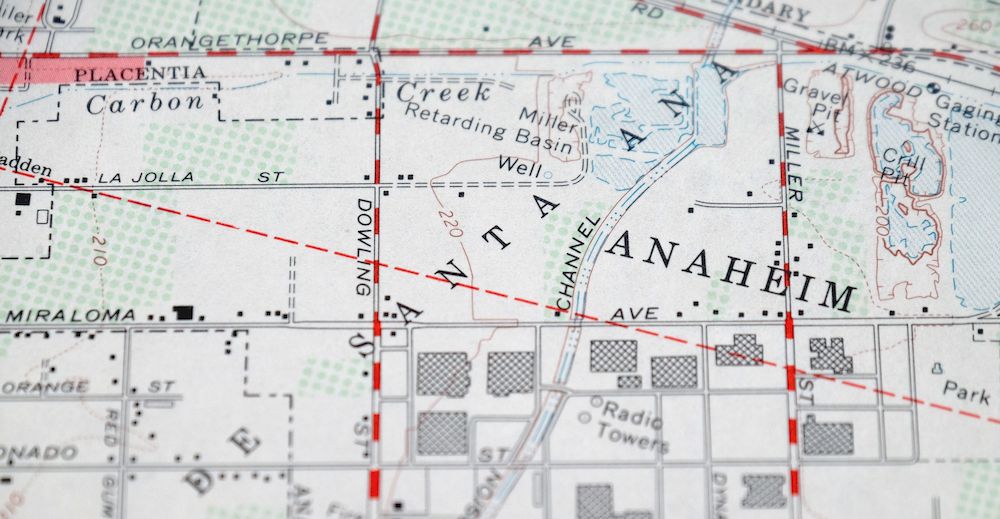
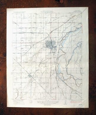
This USGS 7.5-minute quadrangle, a 1964 edition printed in 1970, is in good condition on thick stock. The sheet depicts a dense swath of northern Orange County, taking in Anaheim, Orange, Santa Ana, Placentia, and Tustin, along with communities including Villa Park, Orange Park Acres, Cowan Heights, and Lemon Heights in the foothill margins to the east; Yorba Linda and Irvine fall near or at the sheet’s edges. For anyone researching mid-century Southern California suburbanization, this map documents the region as it looked in 1964, when the buildout of these cities was still actively underway.
In stock
This vintage sheet is a 1964 edition of the Orange California USGS topographic map. It is an original 56-year-old 1970 United States Geological Survey print in good condition.
HOW THIS MAP CAN BE USED
In addition to making a fascinating conversation piece, this sheet would look great in a frame or on display, make a unique and prized gift for anyone interested in this area, be perfect as a reference for genealogy studies or general historical research, or fill that missing piece in your collection. Maps of this vintage are printed on durable stock and are well-suited for outdoor activities and recreation of all kinds, including hiking, backpacking, hunting, rafting and kayaking, backcountry skiing, geocaching, general exploration, treasure hunting, etc.
FEATURES SHOWN ON THE MAP
The Orange 7.5-minute map shows cities and towns, roads, paths, railroads, utilities and energy infrastructure, rivers, creeks, elevation contour lines, public land survey lines, county, state, and other administrative boundaries as they existed at the time of the survey. A reddish tint is used on this sheet to indicate urban areas where only landmark buildings are depicted. Outside of those areas, all known structures (houses, businesses, churches, schools, barns, cabins, etc) are shown.
A VALUABLE HISTORICAL RECORD
This map is from the 7.5-minute series, the most detailed series that is widely available from the USGS. The 1964 Orange map is a valuable historical record for the area. It contains some placenames and features that have been dropped from more recent maps.
PLACENAMES
The following places are found within the boundary of this quadrangle. They may or may not be shown or labeled, depending on the map series and vintage.
* Cities and Towns-> Anaheim, Atwood, Cowan Heights, Irvine, Lemon Heights, Orange, Orange Park Acres, Panorama Heights, PlacentiaSanta Ana, and others
* Counties Covered-> Orange
* Rivers and Streams-> Carbon Canyon Creek, Carbon Creek, Peters Canyon Wash, Santa Ana River, and Santiago Creek
* Water Bodies-> Lower Peters Canyon Reservoir, Olive Hills Reservoir, Peters Canyon Reservoir, Walnut Canyon Reservoir, and Yorba Linda Reservoir
Nearby maps
-
Panamint Butte California USGS 15-Min Topo Map 1967 Vintage
$39 Add to cart -
Sanger Del Ray Clotho California USGS 7.5-Min Topo Map 1923
$66 Add to cart -
Kingman NW Arizona Golden Valley USGS Topo Map 1968 Vintage
$38 Add to cart -
Kingman SE Arizona Griffith USGS Topographic Map 1968
$40 Add to cart -
Greenfield California Salinas River USGS Topo Map 1973
$36 Add to cart -
Casa Grande East Arizona USGS 7.5-Min Topo Map 1975 Vintage
$42 Add to cart -
Bright Angel Arizona Grand Canyon Tusayan USGS Topo Map 1912
$30 Add to cart -
San Francisco South California USGS 7.5-Min Topo Map 1975
$38 Add to cart -
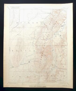
Beaver Utah Dixie NF Fishlake NF USGS Topo Map 1921 Antique
$105 Add to cart -
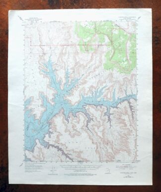
Cummings Mesa Utah USGS 15-Min Topographic Map 1978 Vintage
$48 Add to cart -
Redington Arizona Galiuro Wilderness USGS Topo Map 1961
$45 Add to cart -
Notom Capitol Reef NP Utah USGS 15-Min Topo Map 1958 Vintage
$47 Add to cart -
Panther Spring California USGS 15-Min Topo Map 1970 Vintage
$39 Add to cart -
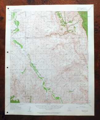
Blue Arizona Apache NF USGS 15-Min Topo Map 1963 Vintage
$43 Add to cart -
Antelope Wells New Mexico USGS 15-Min Topographic Map
$12 Add to cart -

La Plata Hesperus Colorado USGS 15-Min Topo Map 1956 Vintage
$75 Add to cart -

La Plata Colorado Mayday Hesperus USGS Topo Map 1897 Antique
$150 Add to cart -

Durango East Colorado USGS 7.5-Min Topo Map 1965 Vintage
$30 Add to cart -

Silverton Colorado Camp Bird USGS Topo Map 1962 Vintage
$34 Add to cart -
North Franklin Mountain Texas Fort Bliss USGS Topo Map 1959
$45 Add to cart -

Leon White River NF Colorado USGS 7.5-Min Topo Map 1988
$42 Add to cart -

Vail West Colorado Avon USGS 7.5-Min Topo Map 1973 Vintage
$42 Add to cart -

Montezuma Colorado Keystone USGS 15-Min Topographic Map 1926
$66 Add to cart -

1922 Lake Wyoming Antique USGS Topographic Map
$75 Add to cart