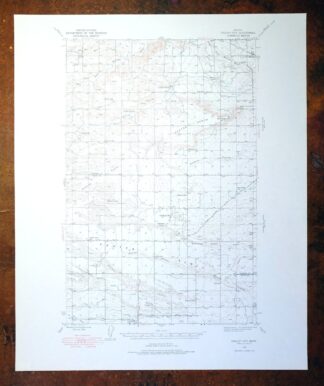
MAP DETAILS | |
|---|---|
| TITLE | Gallup City |
| STATE | Montana |
| LOCATION | 55 miles northwest of Great Falls |
| SERIES | 15-minute |
| SURVEYED | 1936 and 1938 Field Survey |
| EDITION | 1938 |
| PRINTED | 1976 |
| PRINT NOTES | Thick paper stock |
| SCALE | 1:62500 |
| CONTOUR INTERVAL | 25 feet |
| SHEET DIMENSIONS | 18 x 22 inches |
| MAP DIMENSIONS | 11 5/8 x 17 1/2 inches |
| COVERAGE AREA | 12 x 17 miles |
| SHEET CONDITION For maps of this vintage, effort is made to note all visible flaws, no matter how minor. | |
| OVERALL CONDITION | Excellent |
| SHEET NOTES | very lightly handled, never folded, smooth and flat |
| MAP AREA | flawless map area |
| COLLARS | no wear or tears, no markings, no blemishes |
| MAP COVERAGE Quadrangle extent overlaid on current basemap. | |
| PLACENAMES Depending on map series and survey date, all of the features listed below may not be shown on this map. This list contains features that currently exist or historically existed within the area covered by the map. The list can be used as a reference to determine if this map covers your area of interest. Placenames are listed alphabetically next to each feature type. | |
| NOTABLE PLACES | Agawam and Benton Bench |
| COUNTIES COVERED | Pondera and Teton |
| RIVERS AND STREAMS | Dry Fork Marias River, Jones Creek, and Spring Creek |
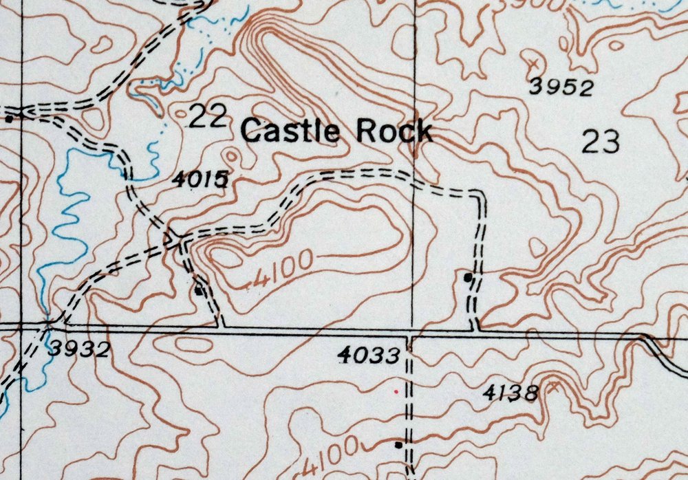
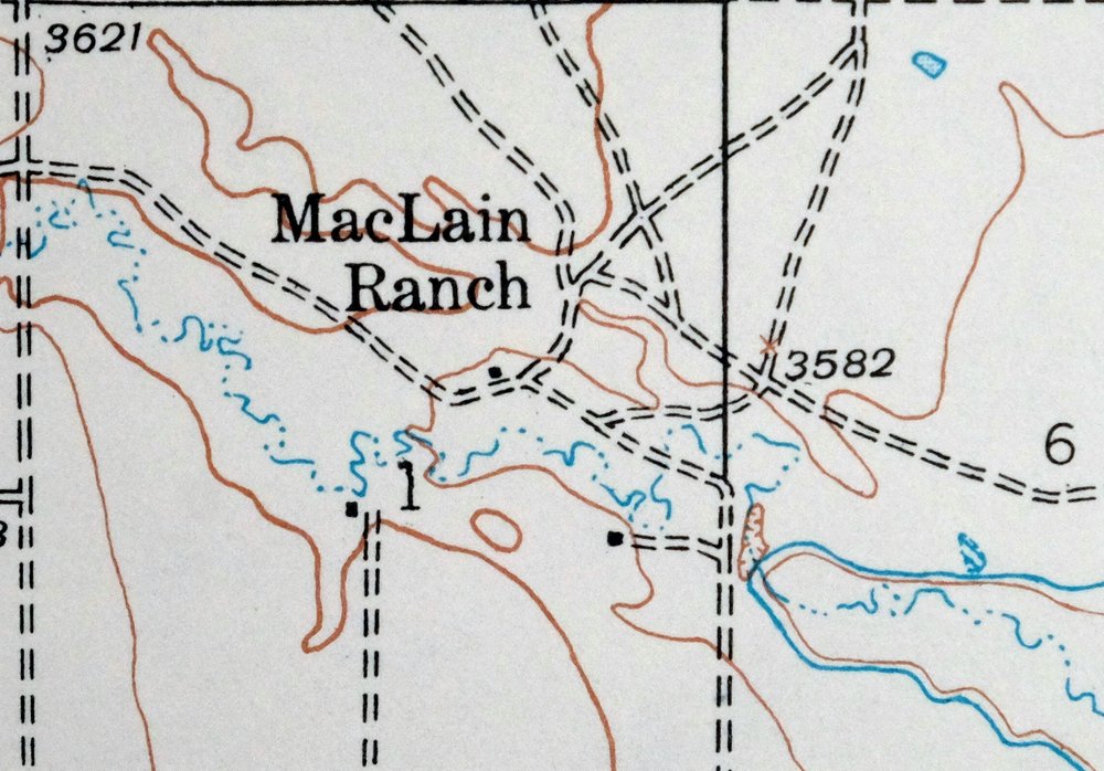
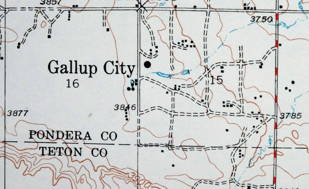
| Populated Place: Gallup City and Manson. Locations: Graham Ranch, MacLain Ranch, Scoffen Ranch, and Smith Ranch. Administrative Boundaries: Pondera County. Mountains, Peaks, and Summits: Sam George Hill. Valleys and Canyons: Boucher Coulee, DeBoer Coulee, Haatvedt Coulee, North Fork Farmers Coulee, Aldrich Coulee, Lone Man Coulee, Maucki Coulee, Miller Coulee, and Spring Coulee. Post Office: Gallup City Post Office, Manson Post Office, and Porter Post Office. Canals: E Canal. Schools: Manson School, Talifson School, Brownell School, Earhart School, Erickson School, King School, Lincoln School, Morhardt School, Porter Bench School, Rowe Kamp School, and Spring Creek School. Reservoirs and Tanks: Conrad Reservoir. Bench: Benton Bench and Porter Bench. Wells: 28N03W17AABB01 Well, 28N03W17ABBC01 Well, 28N03W17ABDB01 Well, 28N05W22CA__01 Well, 26N04W15D___01 Well, and 26N05W12CBBB01 Well. Pillars: Castle Rock. Springs: Aldrich Spring, Healy Spring, and Noble Spring. | |
| SHIPPING AND RETURNS | |
 This map sheet will be carefully rolled in a sturdy tube and shipped via the US Postal Service. If you find that the sheet you receive is not as described in the listing, you may ship it back to us for a refund of the purchase price. | |
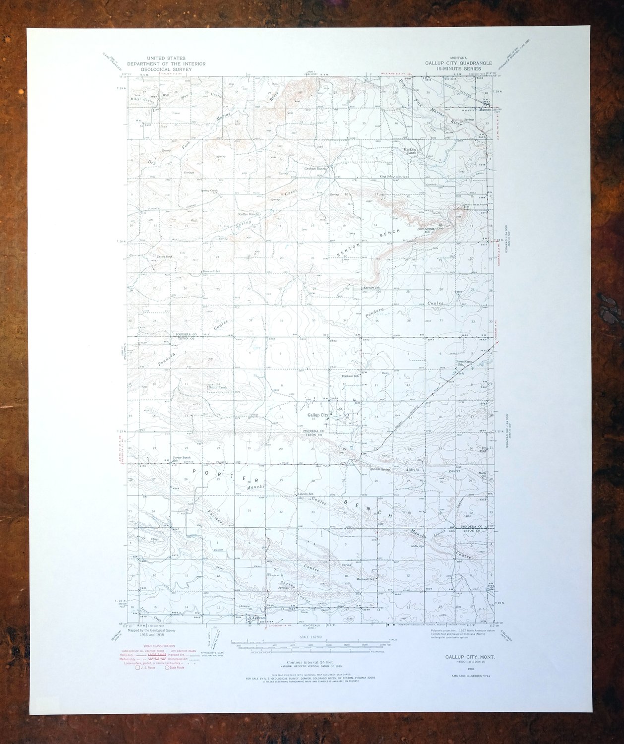
1976 Gallup City Montana USGS Topo Map: Agawam
$37
This USGS topographic map of the Gallup City quadrangle in north-central Montana comes from a 1938 edition, printed in 1976 on thick paper stock at a scale of 1:62,500. The 15-minute sheet covers about 12 by 17 miles of Pondera and Teton county land roughly 55 miles northwest of Great Falls, taking in the area around Agawam and Benton Bench. The terrain here is open plains country below the Rocky Mountain Front, mapped from 1936 and 1938 field survey work. Never folded and in excellent condition, it would frame well.
In stock
This vintage sheet is a 1938 edition of the Gallup City Montana USGS topographic map. It is an original 50-year-old 1976 United States Geological Survey print in excellent condition.
HOW THIS MAP CAN BE USED
In addition to making a fascinating conversation piece, this sheet would look great in a frame or on display, make a unique and prized gift for anyone interested in this area, be perfect as a reference for genealogy studies or general historical research, or fill that missing piece in your collection. Maps of this vintage are printed on durable stock and are well-suited for outdoor activities and recreation of all kinds, including hiking, backpacking, hunting, rafting and kayaking, backcountry skiing, geocaching, general exploration, treasure hunting, etc.
FEATURES SHOWN ON THE MAP
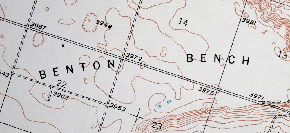
The Gallup City 15-minute map shows cities and towns, roads, railroads, utilities and energy infrastructure, rivers, creeks, elevation contour lines, public land survey lines, county, state, and other administrative boundaries as they existed at the time of the survey in 1936 and 1938. All known structures (houses, businesses, churches, schools, barns, cabins, etc) are also shown, with exceptions in some urban areas, where only landmark buildings may be shown.
A VALUABLE HISTORICAL RECORD
Maps from the 15-minute series for the continental United States are no longer produced or printed by the USGS and original prints are becoming increasingly difficult to find. They are a valuable historical record for an area, as they contain many placenames and features that have been dropped from more recent maps.
Nearby maps
-
1975 Choteau Montana USGS Topo Map: Arod Lakes
$40 Add to cart -
Lake Frances Montana Valier USGS 15-Min Topographic Map 1949
$40 Add to cart -
Fairfield Montana Simms Fort Shaw USGS Topo Map 1952 Vintage
$40 Add to cart -

East Helena Montana Helena Clancy USGS Topographic Map 1974
$42 Add to cart -
Laredo Montana Box Elder Agency USGS Topographic Map 1975
$37 Add to cart -
1979 Drummond Montana USGS Topo Map: Hall (1958 Edition)
$34 Add to cart -

Jefferson City Montana Clancy Basin USGS Topo Map 1967
$39 Add to cart -
1969 Clancy Montana USGS Topo Map: Elkhorn Mountains
$40 Add to cart -

Boulder Montana Butte-Silver Bow Clancy USGS Topo Map 1933
$39 Add to cart -

Missoula Montana Stevensville Lolo USGS Topographic Map 1925
$57 Add to cart -

Devils Fence Montana USGS 15-Min Topo Map 1950 Vintage
$36 Add to cart -
Lewistown Montana Judith Mountains USGS 15-Min Topo Map 1975
$31 Add to cart -
1971 Superior Montana USGS Topo Map: Clark Fork
$40 Add to cart -

Saint Regis Montana St. Regis USGS Topo Map 1968 Vintage
$38 Add to cart -
Judith Peak Montana Black Butte USGS Topo Map 1978 Vintage
$38 Add to cart -
1975 Butte South Montana USGS Topo Map: Divide
$42 Add to cart -

1980 Belgrade Montana USGS Topo Map: Bridger Range
$43 Add to cart -

Sedan Montana USGS 15-Min Topographic Map 1956 Vintage
$38 Add to cart -
1969 Bozeman Montana USGS Topo Map: Gallatin Gateway
$44 Add to cart -
Bozeman Pass Montana USGS 15-Min Topo Map 1978 Vintage
$43 Add to cart -

Ennis Montana McAllister Jeffers USGS Topo Map 1969 Vintage
$38 Add to cart -

Cataldo Idaho Lakeview Osburn USGS Topo Map 1954 Vintage
$40 Add to cart -

Spanish Peaks Montana Big Sky USGS Topo Map 1973 Vintage
$37 Add to cart -

Big Timber Montana Reed Point Reed Point USGS Topo Map 1910
$36 Add to cart