MAP DETAILS | |
|---|---|
| TITLE | Rochester |
| STATE | Washington |
| LOCATION | 65 miles southwest of Seattle |
| SERIES | 15-minute |
| SURVEYED | 1951 and 1953 Aerial and Field Survey |
| EDITION | 1953 |
| PRINTED | 1963 |
| PRINT NOTES | Thick paper stock, includes woodland tint (green to indicate vegetated areas) |
| SCALE | 1:62500 |
| CONTOUR INTERVAL | 40 feet |
| SHEET DIMENSIONS | 18 x 22 inches |
| MAP DIMENSIONS | 12 x 17 1/2 inches |
| COVERAGE AREA | 12 x 17 miles |
| SHEET CONDITION For maps of this vintage, effort is made to note all visible flaws, no matter how minor. | |
| OVERALL CONDITION | Good |
| SHEET NOTES | midsheet horizontal foldline (in half) |
| MAP AREA | no markings, no blemishes |
| COLLARS | no markings, no blemishes, edgewear in lower left collar corner |
 | |
| MAP COVERAGE Quadrangle extent overlaid on current basemap. | |
| PLACENAMES Depending on map series and survey date, all of the features listed below may not be shown on this map. This list contains features that currently exist or historically existed within the area covered by the map. The list can be used as a reference to determine if this map covers your area of interest. Placenames are listed alphabetically next to each feature type. | |
| NOTABLE PLACES | Oakville, Grand Mound, Littlerock, and Capitol State Forest |
| CITIES AND TOWNS (CURRENT) | Chehalis Village, Fords Prairie, Gate, Malone-Porter, and Rochester |
| COUNTIES COVERED | Grays Harbor, Lewis, and Thurston |
| FEDERAL LAND UNITS | Chehalis Indian Reservation |
| RIVERS AND STREAMS | Beaver Creek, Black River, Blooms Ditch, Bozy Creek, Camp Seven Creek, Cedar Creek, Chehalis River, Dempsey Creek, Dry Creek, Garrard Creek, Gibson Creek, Harris Creek, Hell Creek, Independence Creek, Iron Creek, Lincoln Creek, Lost Valley Creek, Mill Creek, Mima Creek, North Creek, North Fork Porter Creek, Noski Creek, Porter Creek, Prairie Creek, Roundtree Creek, Salmon Creek, Scatter Creek, Shelton Creek, Sherman Creek, South Fork Porter Creek, Sponenbergh Creek, Stony Creek, Swan Creek, Thurston Creek, Waddell Creek, and West Fork Porter Creek |
| Locations: Bordeaux Campground, Capitol Peak Lookout, Fall Creek Campground, Gate, Helsing Junction, Lincoln Creek Grange, Margaret McKenny Campground, Meadows, Middle Waddel Campground, Mina Falls Trailhead Campground, Mount Molly Campground, North Creek Campground, Rutledge Farm, Sherman Valley Campground, Wedekind Picnic Area, and Yew Tree Campground. Mountain Ranges: Black Hills. Reserves: Chehalis Indian Reservation. Mountains, Peaks, and Summits: Capitol Peak, Fuzzy Top, Grand Mound, Larch Mountain, Little Larch Mountain, Michigan Hill, and Mount Molly. Valleys and Canyons: Independence Valley, Lost Valley, and Sherman Valley. Parks: Black River Habitat Management Area, Grand Mound State Game Reserve, Historical Marker Fort Henness Site, Mima Mounds Natural Area, and Scatter Creek Wildlife Recreation Area. Trails: North Creek Truck Trail and Porter Creek Truck Trail. Drainages: Bozy Creek, Camp Seven Creek, Beatty Creek, Beaver Creek, Black River, Darlin Creek, Dry Creek, Fall Creek, Harris Creek, Hell Creek, Independence Creek, Iron Creek, Lost Valley Creek, Mill Creek, Mima Creek, Monroe Creek, North Creek, North Fork Porter Creek, Noski Creek, Phantom Creek, Prairie Creek, Roundtree Creek, Salmon Creek, Scatter Creek, Sherman Creek, South Fork Porter Creek, Sponenbergh Creek, Stony Creek, Swan Creek, Thurston Creek, and Waddell Creek. Forests: Capitol State Forest. Buildings: Cedar Creek State Correction Center. Waterfalls: Mima Falls. Dams: Walentiny Dam. Canals: Blooms Ditch. Airports: Bade Rotor and Wing Service Heliport and R and K Skyranch Airport. Schools: Grand Mound Elementary School, Ground Mound Middle School, Maple Lane High School, Oakville Elementary School, Oakville High School, Rochester Elementary School, and Rochester High School. Ridges: Buck Ridge. Flats: Baker Prairie and Mima Prairie. | |
| SHIPPING AND RETURNS | |
 This map sheet will be carefully rolled in a sturdy tube and shipped via the US Postal Service. If you find that the sheet you receive is not as described in the listing, you may ship it back to us for a refund of the purchase price. | |
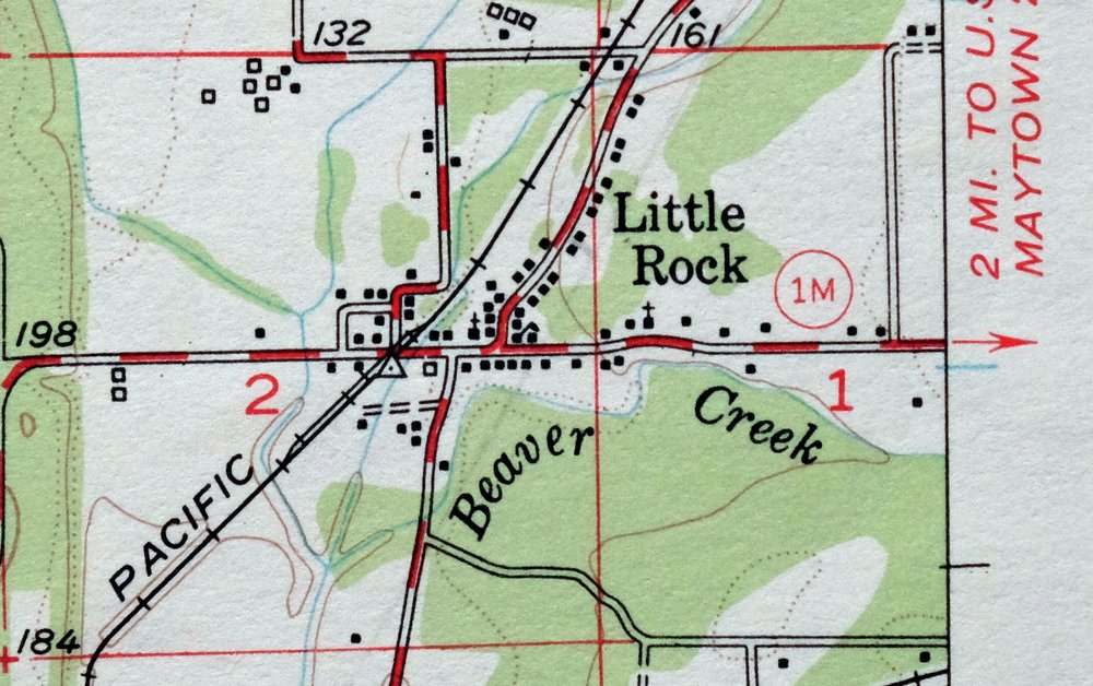
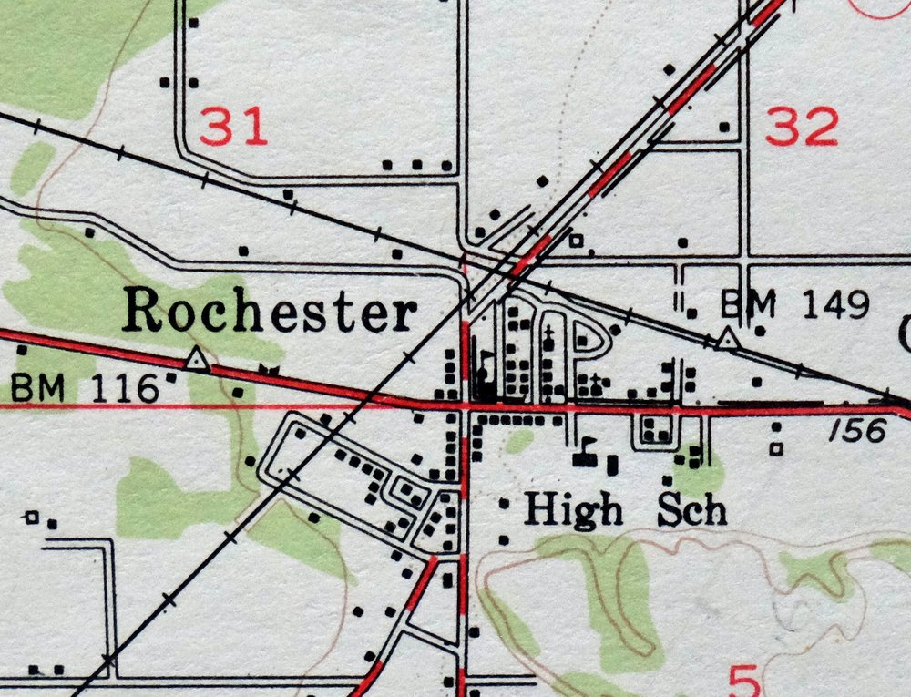
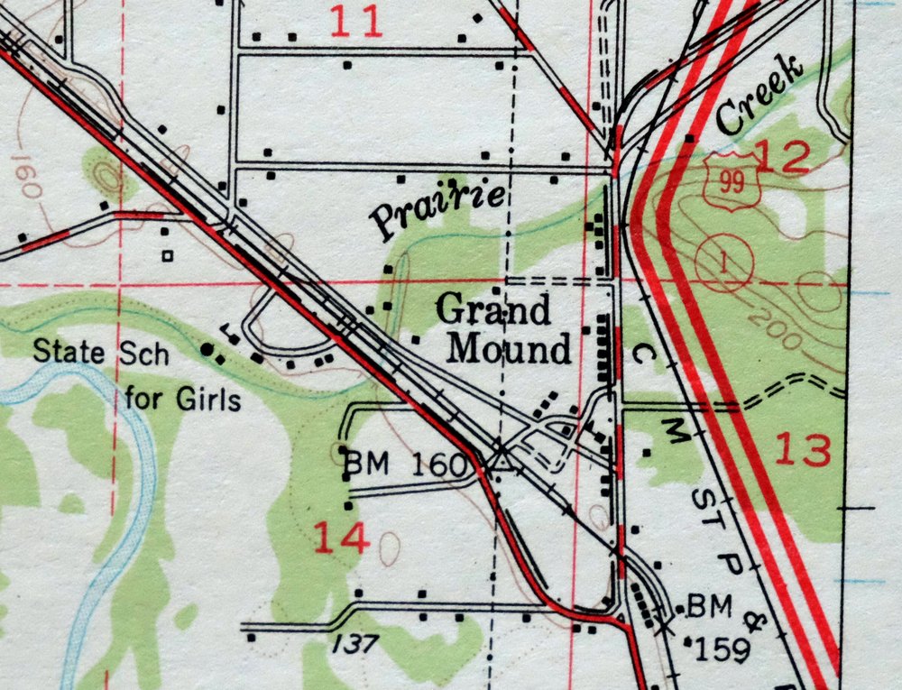
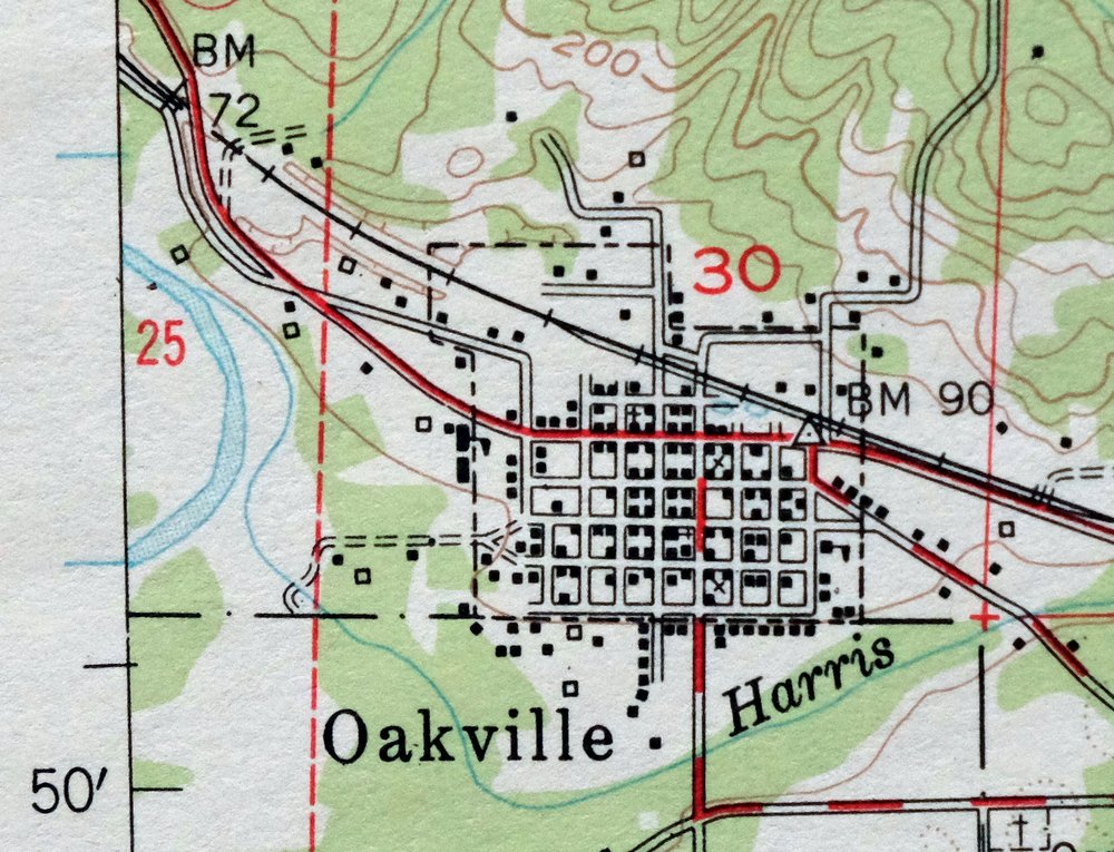

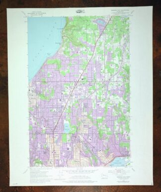
1963 USGS Topo Map: Rochester, Oakville, Washington
$34
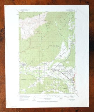
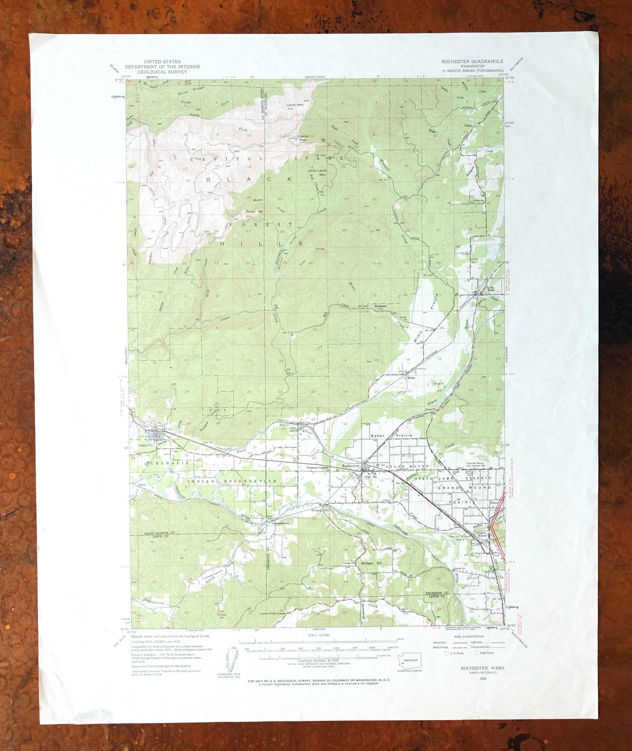
This is a 1953 edition of the Rochester quadrangle in southwestern Washington, printed in 1963 on thick paper with a green woodland tint marking the forested areas. The 15-minute sheet sits about 65 miles southwest of Seattle, spanning parts of Grays Harbor, Lewis, and Thurston counties, with the communities of Oakville, Grand Mound, and Littlerock inside its bounds, and lies northwest of Fords Prairie. It also takes in part of the Chehalis Indian Reservation, whose lands along the Chehalis River have long centered on this stretch of the valley.
In stock
This vintage sheet is a 1953 edition of the Rochester Washington USGS topographic map. It is an original 63-year-old 1963 United States Geological Survey print in good condition.
HOW THIS MAP CAN BE USED
In addition to making a fascinating conversation piece, this sheet would look great in a frame or on display, make a unique and prized gift for anyone interested in this area, be perfect as a reference for genealogy studies or general historical research, or fill that missing piece in your collection. Maps of this vintage are printed on durable stock and are well-suited for outdoor activities and recreation of all kinds, including hiking, backpacking, hunting, rafting and kayaking, backcountry skiing, geocaching, general exploration, treasure hunting, etc.
FEATURES SHOWN ON THE MAP
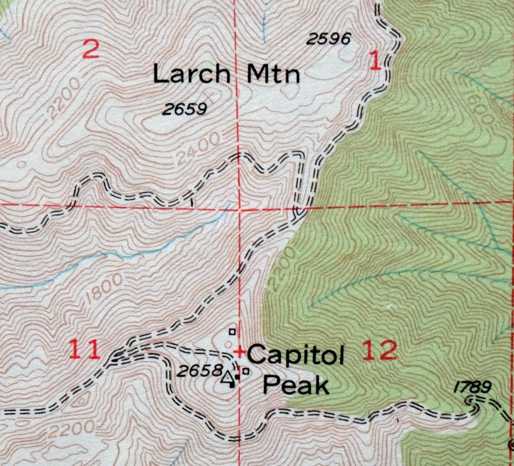
The Rochester 15-minute map shows cities and towns, roads, railroads, utilities and energy infrastructure, rivers, creeks, elevation contour lines, public land survey lines, county, state, and other administrative boundaries as they existed at the time of the survey in 1951 and 1953. All known structures (houses, businesses, churches, schools, barns, cabins, etc) are also shown.
A VALUABLE HISTORICAL RECORD
Maps from the 15-minute series for the continental United States are no longer produced or printed by the USGS and original prints are becoming increasingly difficult to find. They are a valuable historical record for an area, as they contain many placenames and features that have been dropped from more recent maps.
Nearby maps
-
Gate Washington Rochester Oakville USGS Topographic Map 1941
$46 Add to cart -
Adna Washington Centralia Fords Prairie USGS Topo Map 1955
$38 Add to cart -
Walville Washington Pe Ell Doty USGS Topo Map 1941 Antique
$47 Add to cart -
1956 USGS Topo Map: Centralia, Chehalis, Washington
$44 Add to cart -
Yelm Washington Rainier North Yelm USGS 15-Min Topo Map 1944
$33 Add to cart -
Willapa Washington Raymond Lebam USGS Topo Map 1941 Antique
$42 Add to cart -
1941 Olequa WA Military Army Corp of Engineers Topo Map
$52 Add to cart -
Fort Columbia Washington Ilwaco Chinook USGS Topo Map 1943
$43 Add to cart -

Moclips Washington Ocean Shores USGS Topo Map 1943 Vintage
$48 Add to cart -
The Brothers Washington Eldon USGS Topo Map 1950 Vintage
$32 Add to cart -
Chehalis Washington Lacey Tumwater USGS Topographic Map 1916
$68 Add to cart -
Longbranch Washington USGS 7.5-Min Topo Map 1969 Vintage
$46 Add to cart -
Aberdeen Washington Hoquiam Cosmopolis USGS Topo Map 1977
$40 Add to cart -

Puyallup Washington Tacoma Waller USGS Topographic Map 1976
$42 Add to cart -
Olalla Washington Vashon USGS 7.5-Min Topo Map 1975 Vintage
$30 Add to cart -

Sumner Washington South Hill Auburn USGS Topo Map 1976
$35 Add to cart -

Renton Washington Seattle Kent USGS Topo Map 1976 Vintage
$38 Add to cart -
Enumclaw Washington Buckley Upper Mill USGS Topo Map 1976
$42 Add to cart -

Maple Valley Washington Covington USGS Topographic Map 1976
$38 Add to cart -
Mount Angeles Washington Olympic NF USGS Topo Map 1964
$32 Add to cart -
1961 USGS Topo Map: Mount Saint Helens, Washington
$32 Add to cart -

Edmonds West Washington Shoreline Woodway USGS Topo Map 1976
$47 Add to cart -
Edmonds East Washington Shoreline Brier USGS Topo Map 1976
$38 Add to cart -

Monroe Washington Duvall High Rock USGS Topographic Map 1976
$43 Add to cart