MAP DETAILS | |
|---|---|
| TITLE | Orient |
| STATE | Washington |
| SURVEYED | 1944 Aerial and Field Survey |
| GEOGRAPHER | U.S. Forest Service |
| REVISIONS | 1948 |
| PRINT NOTES | Thick paper stock |
| SCALE | 1:62500 |
| CONTOUR INTERVAL | 50 feet |
| SHEET DIMENSIONS | 16 1/2 x 20 inches (approximate) |
| MAP DIMENSIONS | 11 1/2 x 17 1/2 inches |
| COVERAGE AREA | 11 x 17 miles |
| SHEET CONDITION For maps of this vintage, effort is made to note all visible flaws, no matter how minor. | |
| SHEET NOTES | very lightly handled, never folded, smooth and flat |
| MAP AREA | flawless map area |
| COLLARS | no wear or tears, no markings, no blemishes, small inventory stamps in collar |
| MAP COVERAGE Quadrangle extent overlaid on current basemap. | |
| PLACENAMES Depending on map series and survey date, all of the features listed below may not be shown on this map. This list contains features that currently exist or historically existed within the area covered by the map. The list can be used as a reference to determine if this map covers your area of interest. Placenames are listed alphabetically next to each feature type. | |
| CITIES AND TOWNS (CURRENT) | Laurier and Orient |
| COUNTIES COVERED | Ferry and Stevens |
| FEDERAL LAND UNITS | Colville National Forest and Lake Roosevelt National Recreation Area |
| RIVERS AND STREAMS | American Fork Big Sheep Creek, Boulder Creek, Camp Creek, China Creek, Columbia River, Deep Creek, Doyle Creek, East Deer Creek, Echo Creek, Fifteenmile Creek, Fisher Creek, Flat Creek, Hodgson Creek, Hope Creek, Jenny Creek, Kerry Creek, Kettle River, Limestone Creek, Little Boulder Creek, Lodgepole Creek, Martin Creek, North Fork Boulder Creek, North Fork Deep Creek, Pelky Creek, Pierre Creek, Sand Creek, Slide Creek, Snow Cap Creek, South Fork Boulder Creek, Tom Creek, and Toulou Creek |
| WATER BODIES | Dilly Lake, Franklin D. Roosevelt Lake, Gilbert Lake, Little Pierre Lake, Perkins Lake, Pierre Lake, Pittman Lake, Renner Lake, Ryan Lake, and Summit Lake |
| Locations: Churchill Lookout, Fisher Creek Cabin, Hughes, North Gorge Campground, Orient Ranger Station, Orient Work Center, Pierre Lake Campground, and Rock Cut. Mountains, Peaks, and Summits: Billy Goat Mountain, Bowen Mountain, Churchill Mountain, Contention Hill, First Thought Mountain, Hope Mountain, Horns Mountain, Hungry Hill, Jumbo Mountain, Little Marble Mountain, McKinley Mountain, Mineral Mountain, Summit Mountain, and Toulou Mountain. Valleys and Canyons: Box Canyon, Liberty Canyon, and Sackit Canyon. Drainages: Camp Creek, Boulder Creek, Deep Creek, Doyle Creek, East Deer Creek, Echo Creek, Fisher Creek, Hodgson Creek, Jenny Creek, Kerry Creek, Limestone Creek, Little Boulder Creek, Lodgepole Creek, Malloy Creek, Martin Creek, North Fork Boulder Creek, North Fork Deep Creek, Pelky Creek, Pierre Creek, Sand Creek, Slide Creek, Snow Cap Creek, South Fork Boulder Creek, Tom Creek, and Toulou Creek. Mines: Big Iron Mine, Churchill Mine, Cooper Butte Mine, Easter Sunday Mine, First Thought Mine, Globe Mine, Hidden Treasure Mine, Kettle River Mine, Northwest Marble Mine, Red Lion Mine, Scotia Mine, Talisman Mine, White Horse Mine, and Young America Mine. Lakes and Ponds: Buhrig Lake, Dilly Lake, Easter Sunday Lake, First Thought Lake, Gilbert Lake, Glasgo Lakes, Lamar Lake, Little Pierre Lake, Perkins Lake, Pierre Lake, Pittman Lake, Renner Lake, Ryan Lake, Summit Lake, and Taylor Lake. Bridges: Rock Cut Bridge. Airports: Avey Field State Airport and Standing Circle R Ranch Airport. Schools: Orient Elementary School. Ridges: Thompson Ridge. Pillars: Spion Kop. Springs: Kiel Springs. | |
| SHIPPING AND RETURNS | |
 Ships carefully rolled in a sturdy 2" x 18" mailing tube. Shipping and return details are in our terms. | |
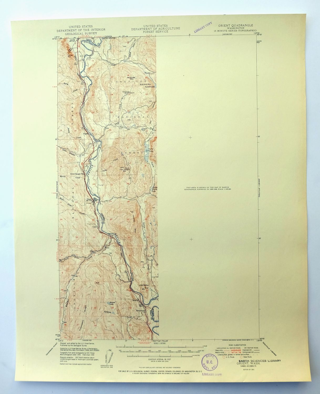
1951 USGS Topo Map: Orient, Colville NF, Washington
$32
The eastern half of this quadrangle is not surveyed.
- 25 miles northwest of Colville.
- 15-minute series, 1951 edition, printed that year.
- Excellent condition, never folded.
In stock
This vintage sheet is a 1951 edition of the Orient Washington USGS topographic map. It is an original 75-year-old United States Geological Survey print in excellent condition.
HOW THIS MAP CAN BE USED
In addition to making a fascinating conversation piece, this sheet would look great in a frame or on display, make a unique and prized gift for anyone interested in this area, be perfect as a reference for genealogy studies or general historical research, or fill that missing piece in your collection. Maps of this vintage are printed on durable stock and are well-suited for outdoor activities and recreation of all kinds, including hiking, backpacking, hunting, rafting and kayaking, backcountry skiing, geocaching, general exploration, treasure hunting, etc.
FEATURES SHOWN ON THE MAP
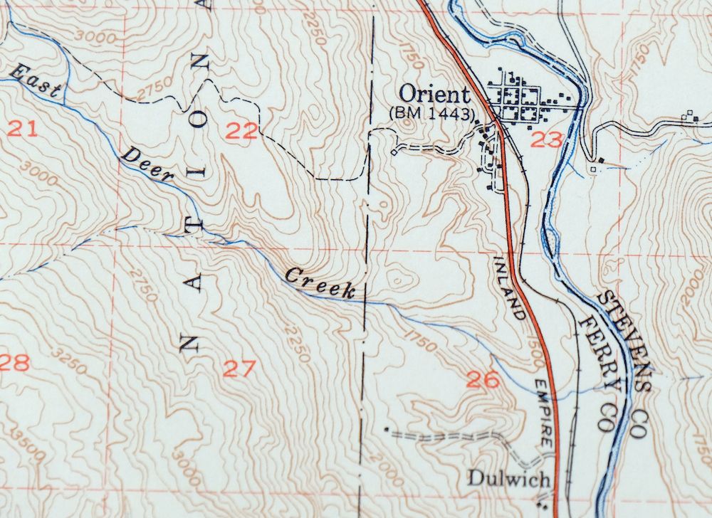
The Orient 15-minute map shows cities and towns, roads, railroads, utilities and energy infrastructure, rivers, creeks, elevation contour lines, public land survey lines, county, state, and other administrative boundaries as they existed at the time of the survey in 1944. All known structures (houses, businesses, churches, schools, barns, cabins, etc) are also shown.
A VALUABLE HISTORICAL RECORD
Maps from the 15-minute series for the continental United States are no longer produced or printed by the USGS and original prints are becoming increasingly difficult to find. They are a valuable historical record for an area, as they contain many placenames and features that have been dropped from more recent maps.
Nearby maps
-
Mount Bonaparte, Washington 1957 USGS Topo Map: Chesaw
$37 Add to cart -
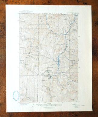
Republic, Washington 1904 USGS Topo Map: Curlew (1944 Print)
$33 Add to cart -
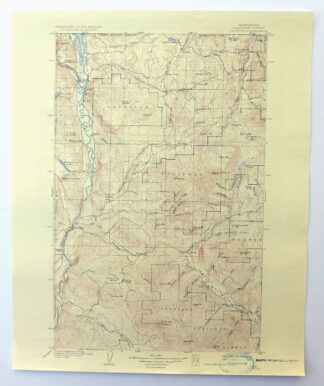
Osoyoos, Washington 1904 USGS Topo Map (1937 Print)
$31 Add to cart -
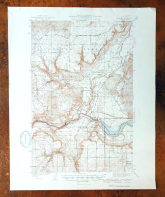
Wellpinit, Washington 1944 USGS Topo Map: Long Lake
$41 Add to cart -
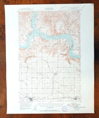
Wilbur, Washington 1950 USGS Topo Map: Creston
$30 Add to cart -

Clayton, Williams Valley, Washington 1944 USGS Topo Map
$36 Add to cart -
Chopaka, Washington 1906 USGS Topo Map: Pasayten Wilderness
$45 Add to cart -

Deer Park, Mead, Washington 1951 USGS Topo Map
$35 Add to cart -
Grand Coulee Dam, Washington 1950 USGS Army COE Topo Map
$31 Add to cart -
Barker Canyon, Washington 1968 USGS Topo Map: Banks Lake
$35 Add to cart -

Cataldo, Idaho/Montana 1909 USGS Topo Map (1954 Print)
$35 Add to cart -

Oakesdale, Washington/Idaho 1905 USGS Topo Map (1938 Print)
$24 Add to cart -

Lucerne, Washington 1949 USGS Topo Map: Lake Chelan
$32 Add to cart -
Rock Island, Washington 1966 USGS Topo Map
$40 Add to cart -

1952 USGS Topo Map: Benge, Hooper, Washington
$30 Add to cart -

La Crosse, Winona, Washington 1952 USGS Topo Map
$29 Add to cart -
Glacier Peak, Washington 1950 USGS Topo Map
$37 Add to cart -
1922 USGS Topo Map: Colockum Pass, Trinidad, Washington
$31 Add to cart -

Connell, Washington 1918 USGS Topo Map: Lind
$29 Add to cart -
Glacier Peak, Washington 1901 USGS Topo Map (1946 Print)
$29 Add to cart -
Red Rock, Washington 1911 USGS Topo Map: Royal City
$20 Add to cart -
Smyrna, Washington 1965 USGS Topo Map: Royal City
$35 Add to cart -
Mount Shuksan, Washington 1953 USGS Topo Map
$31 Add to cart -
1965 USGS Topo Map: Blanca Lake, Washington
$27 Add to cart