| MAP DETAILS | |
|---|---|
| TITLE | Republic |
| STATE | Washington |
| LOCATION | 40 miles west of Colville |
| SERIES | 30-minute |
| SURVEYED | 1901 Field Survey |
| GEOGRAPHER | R.H. Goode |
| EDITION | 1904 |
| PRINTED | 1944 |
| SCALE | 1:125000 |
| CONTOUR INTERVAL | 100 feet |
| SHEET DIMENSIONS | 17 x 21 inches |
| MAP DIMENSIONS | 11 1/2 x 17 1/2 inches |
| COVERAGE AREA | 23 x 35 miles |
| SHEET CONDITION For maps of this vintage, effort is made to note all visible flaws, no matter how minor. | |
| OVERALL CONDITION | Very Good |
| SHEET NOTES | never folded |
| MAP AREA | flawless map area |
| COLLARS | no markings, no blemishes, no edge tears, minor handling in bottom collar, library stamp in collar |
| MAP COVERAGE Quadrangle extent overlaid on current basemap. | |
| BACKSIDE LEGEND | |
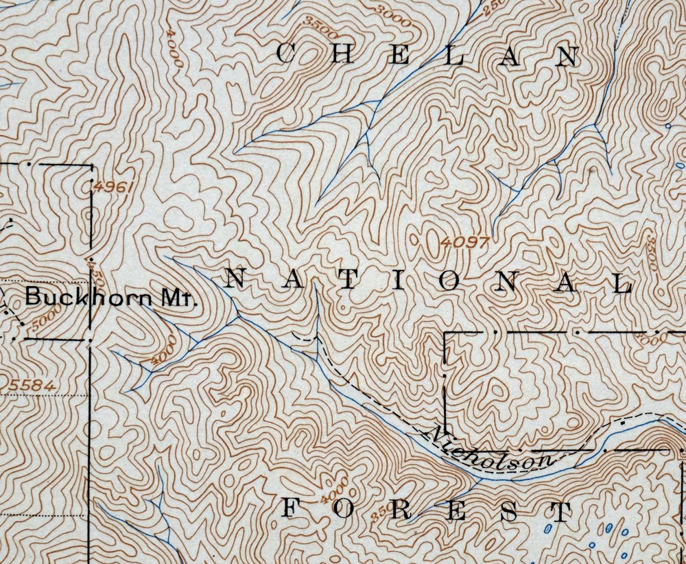
 A map summary is printed on the back side of the Republic sheet similar to the one shown in the picture. It outlines the history, purpose, and status of the USGS mapping program at the time of the printing in 1944. It also provides instructions on how to read contour lines and a description of how they are used to depict the terrain. At the bottom of the page is a legend showing all of the symbols used to represent the cultural, relief, and water features found on the map. | |
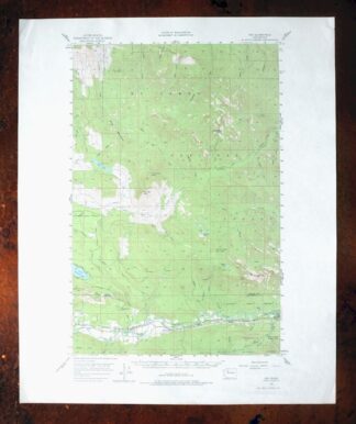
Republic Washington Malo Danville USGS Topo Map 1944 Vintage
$49
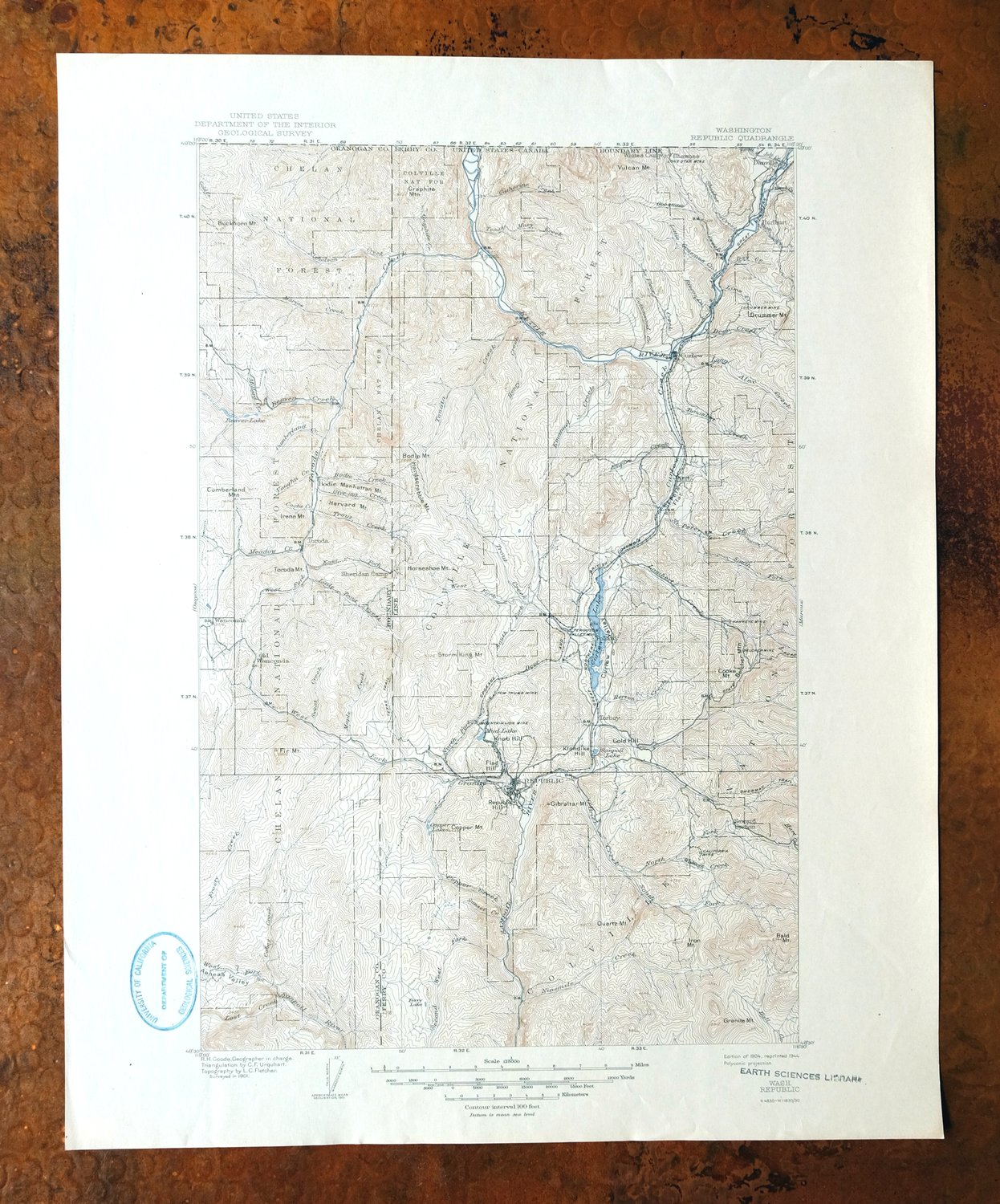
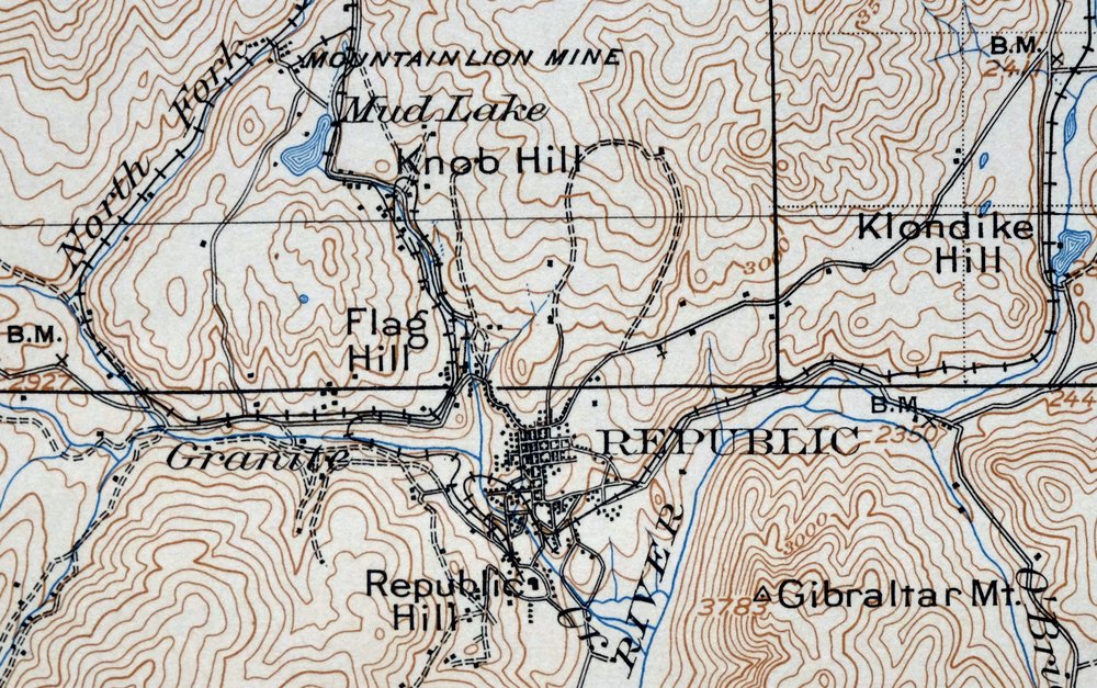
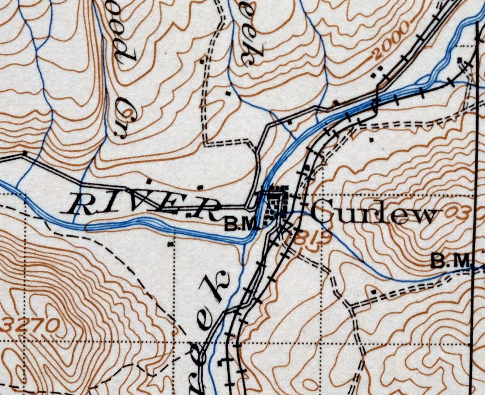
This USGS 30-minute topographic sheet is a 1904 edition printed in 1944, and at 82 years the print survives in very good condition, never folded and on thick stock. It takes in a stretch of north-central Washington’s Ferry and Okanogan counties, with the quad area including the town of Republic along with Malo, Danville, Curlew, and Aeneas, and reaching close to the Canadian border at the northern boundary; portions of the Colville and Okanogan national forests fall within it as well. Republic sits in old gold-mining country, and this sheet maps the surrounding mountains at a 100-foot contour interval, drawn from a 1901 field survey under geographer R.H. Goode. The map area itself is flawless, with only minor handling in the bottom collar and a library stamp there.
In stock
This vintage sheet is a 1904 edition of the Republic Washington USGS topographic map. It is an original 82-year-old 1944 United States Geological Survey print in very good condition.
HOW THIS MAP CAN BE USED
In addition to making a fascinating conversation piece, this sheet would look great in a frame or on display, make a unique and prized gift for anyone interested in this area, be perfect as a reference for genealogy studies or general historical research, or fill that missing piece in your collection.
FEATURES SHOWN ON THE MAP
The Republic 30-minute map shows cities and towns, roads, railroads, rivers, creeks, elevation contour lines, public land survey lines, county, state, and other administrative boundaries as they existed at the time of the survey in 1901.
A VALUABLE HISTORICAL RECORD
Maps from the USGS 30-minute series have been out of print for many years. They have never been common and original prints are increasingly difficult to find. For areas where the 30-minute map was produced, it is usually the first large-scale survey done by the USGS for that area. These are a valuable historical record, as they contain many placenames and features that have been dropped from more recent series’ and editions.
PLACENAMES
The following places are found within the boundary of this quadrangle. They may or may not be shown or labeled, depending on the map series and vintage.
* Cities and Towns-> Aeneas, Curlew, Danville, Malo, and Republic
* Counties Covered-> Ferry and Okanogan
* Federal Land Units-> Colville National Forest and Okanogan National Forest
* Rivers and Streams-> Aeneas Creek, Alkali Creek, Art Creek, Bamber Creek, Barrett Creek, Bodie Creek, Bolster Creek, Bracken Creek, Cache CreekCamel Creek, and others
* Water Bodies-> Beaver Lake, Beth Lake, Copper Lakes, Curlew Lake, Empire Lake, Ferry Lake, Fish Lake, Mud Lake, Sanpoil LakeSwan Lake, and others
Nearby maps
-
Osoyoos Washington Okanogan NF Oroville USGS Topo Map 1937
$58 Add to cart -
Chopaka Washington Okanogan NF USGS Topographic Map 1917
$76 Add to cart -
Glacier Peak Washington Suiattle River USGS Topo Map 1946
$47 Add to cart -
Colockum Pass Washington Wenatchee USGS 30-Min Topo Map 1922
$48 Add to cart -

Oakesdale Washington Saint Joe NF Tekoa USGS Topo Map 1938
$56 Add to cart -

Cataldo Idaho Lakeview Osburn USGS Topo Map 1954 Vintage
$48 Add to cart -
Mount Bonaparte Washington Molson Chesaw USGS Topo Map 1966
$38 Add to cart -
Orient Washington Colville NF Laurier USGS Topo Map 1951
$40 Add to cart -
Barker Canyon Washington USGS 7.5-Min Topo Map 1971 Vintage
$36 Add to cart -
Wilbur Washington Creston USGS 15-Min Topo Map 1950 Vintage
$42 Add to cart -
Wellpinit Washington Long Lake Ford USGS Topo Map 1944
$42 Add to cart -

Clayton Washington Spokane USGS 15-Min Topo Map 1951 Vintage
$49 Add to cart -

Deer Park Washington Spokane Fairwood USGS Topo Map 1951
$40 Add to cart -

Lucerne Washington USGS 15-Min Topographic Map 1949 Vintage
$42 Add to cart -
Rock Island Washington South Wenatchee USGS Topo Map 1967
$44 Add to cart -
Blanca Lake Washington USGS 7.5-Min Topo Map 1982 Vintage
$40 Add to cart -
Mount Shuksan Washington USGS 15-Min Topo Map 1957 Vintage
$37 Add to cart -

Benge Washington Hooper Palouse River USGS Topo Map 1952
$35 Add to cart -
Red Rock Washington Royal City Smyrna USGS Topo Map 1911
$28 Add to cart -

La Crosse Washington Winona Palouse River USGS Topo Map 1952
$42 Add to cart -

Connell Washington Lind Mesa USGS Topo Map 1918 Antique
$74 Add to cart -
Silverton Washington Darrington Verlot USGS Topo Map 1975
$40 Add to cart -
Boylston Washington Vantage Doris USGS Topographic Map 1943
$44 Add to cart -
Oso Washington Lake Cavanaugh USGS Topo Map 1977 Vintage
$41 Add to cart