MAP DETAILS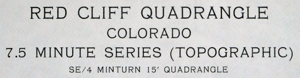 | |
|---|---|
| TITLE | Red Cliff |
| STATE | Colorado |
| LOCATION | Vicinity of Vail, 72 miles west of Denver |
| SERIES | 7.5-minute |
| SURVEYED | 1969 and 1970 Aerial and Field Survey |
| EDITION | 1970 |
| PRINTED | 1973 |
| PRINT NOTES | Thick paper stock, includes woodland tint (green to indicate vegetated areas) |
| SCALE | 1:24000 |
| CONTOUR INTERVAL | 40 feet |
| SHEET DIMENSIONS | 22 x 27 inches |
| MAP DIMENSIONS | 17 5/8 x 22 3/4 inches |
| COVERAGE AREA | 7 x 9 miles |
| SOURCE | From the vintage map collection of David R. Wortendyke, Boulder, Colorado |
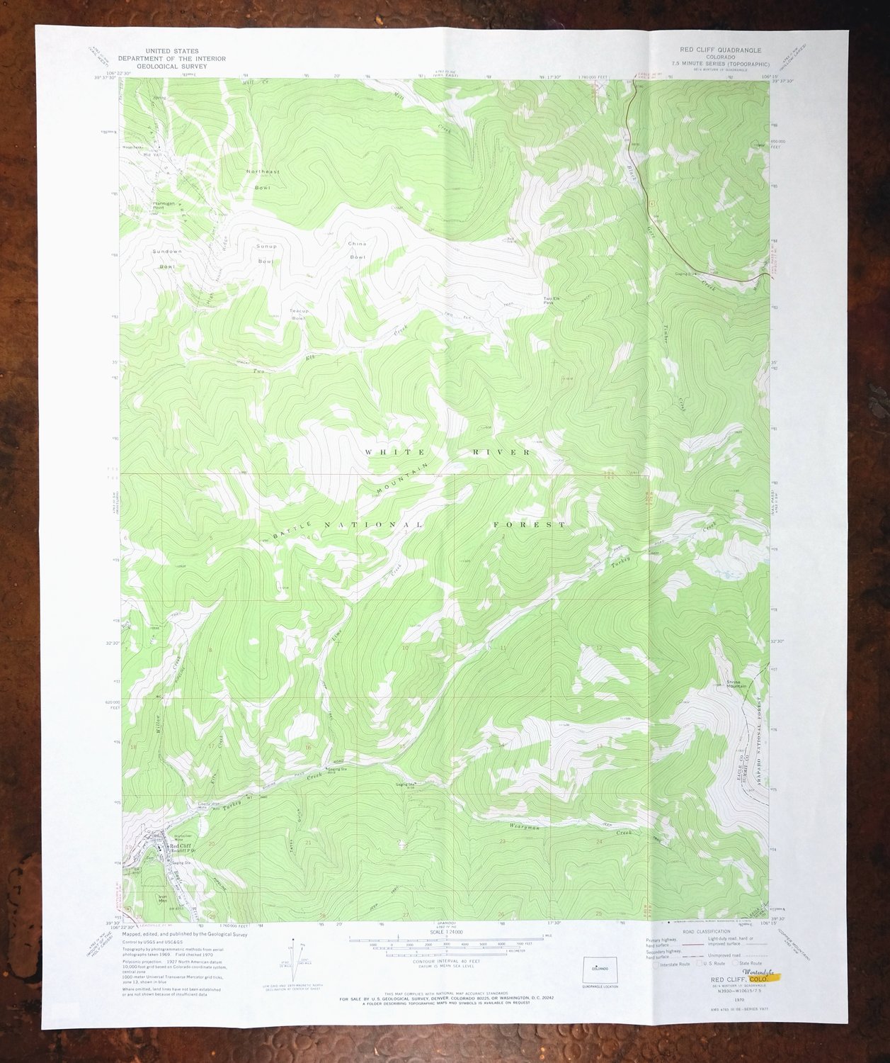
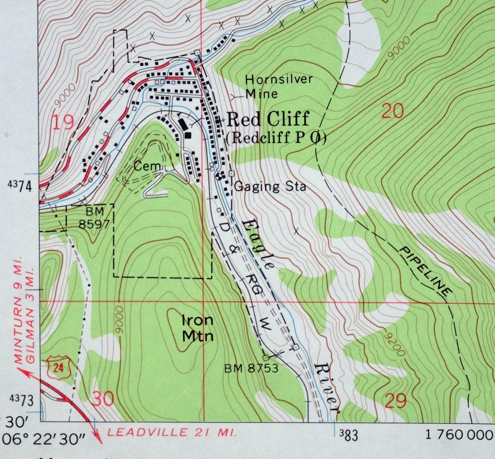
| MAP NOTES | A fascinating snapshot surveyed before the southward expansion of Vail Ski and before I-70 was constructed through Black Gore Creek, covering Mid Vail southward through Two Elks Creek and Battle Mountain to Red Cliff, showing all lifts and structures incl |
| SHEET CONDITION For maps of this vintage, effort is made to note all visible flaws, no matter how minor. | |
| OVERALL CONDITION | Very Good |
| SHEET NOTES | lightly handled, has foldlines |
| MAP AREA | no markings, no blemishes |
| COLLARS | no wear or tears, no markings, no blemishes, yellow highlight at sheet title, small inventory stamp in lower right collar |
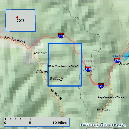
| MAP COVERAGE Quadrangle extent overlaid on current basemap. | |
| PLACENAMES Depending on map series and survey date, all of the features listed below may not be shown on this map. This list contains features that currently exist or historically existed within the area covered by the map. The list can be used as a reference to determine if this map covers your area of interest. Placenames are listed alphabetically next to each feature type. | |
| NOTABLE PLACES | Vail Ski Resort, Battle Mountain, and Sundown Bowl |
| CITIES AND TOWNS (CURRENT) | Red Cliff and Vail |
| COUNTIES COVERED | Eagle and Summit |
| FEDERAL LAND UNITS | Arapaho National Forest, Eagles Nest Wilderness, and White River National Forest |
| RIVERS AND STREAMS | Black Gore Creek, Eagle River, Kiln Creek, Lime Creek, Miller Creek, Rock Creek, Timber Creek, Turkey Creek, Two Elk Creek, Wearyman Creek, and Willow Creek |
| Locations: Mount of the Holy Cross Recreation Site and Vail Ski Area. Mountains, Peaks, and Summits: Battle Mountain, Iron Mountain, Ptarmigan Point, Shrine Mountain, and Vail Mountain. Valleys and Canyons: Tates Gulch. Trails: Two Elk Trail. Drainages: Kiln Creek, Lime Creek, Miller Creek, Timber Creek, Wearyman Creek, and Willow Creek. Mines: Foster Combination Mine, Golden Wedge Mine, Hornsilver Mine, Iron Dike Mine, Liberty Mine, and Ovee-Silurian Mine. Gaps: Two Elk Pass. Basins: China Bowl, Northeast Bowl, Sundown Bowl, Sunup Bowl, and Teacup Bowl. Ridges: High Noon Ridge. | |
| SHIPPING AND RETURNS | |
 This map sheet will be carefully rolled in a sturdy tube and shipped via the US Postal Service. If you find that the sheet you receive is not as described in the listing, you may ship it back to us for a refund of the purchase price. | |
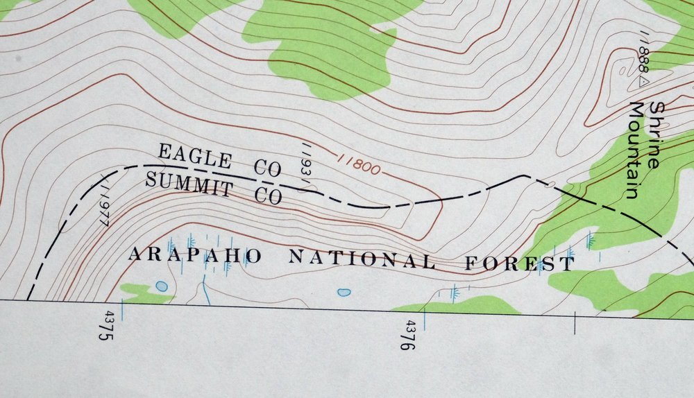
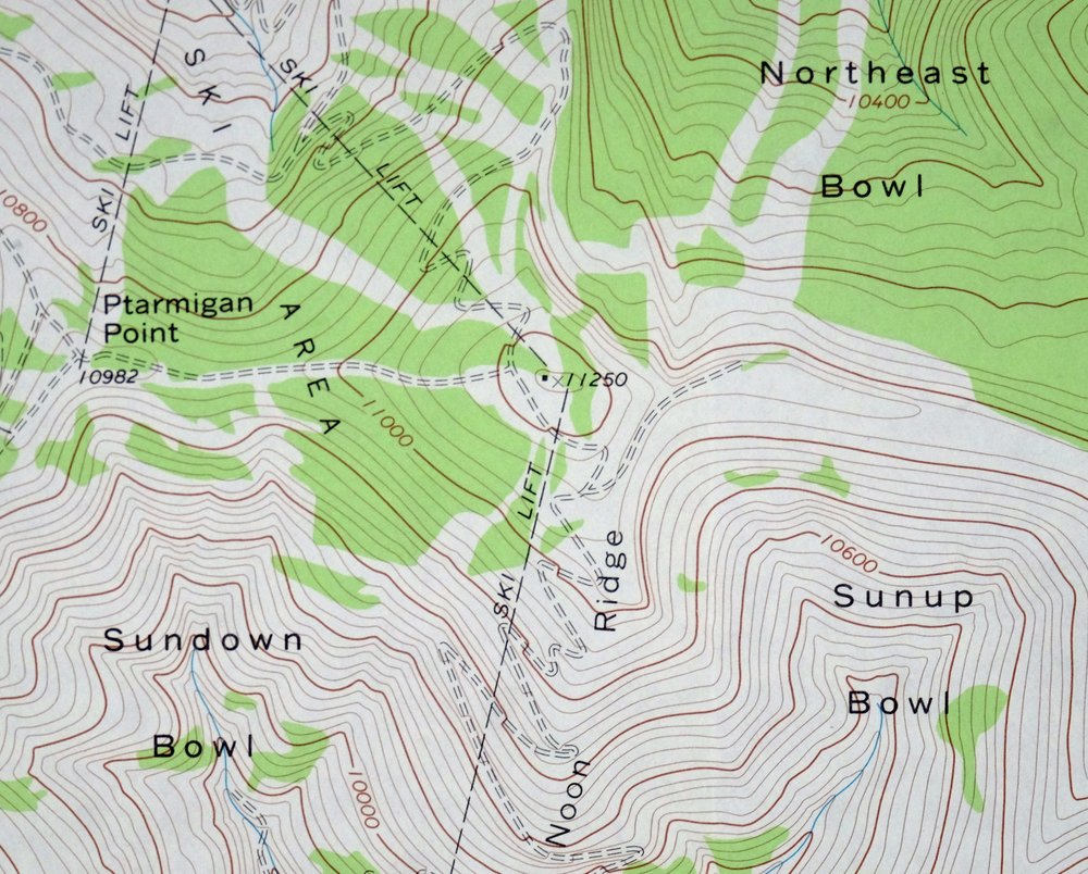
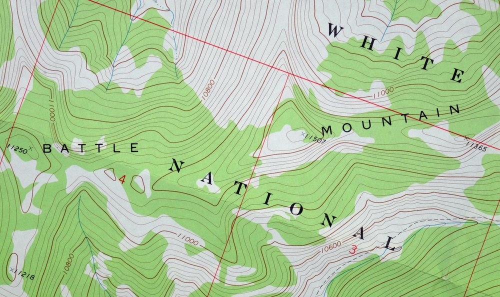
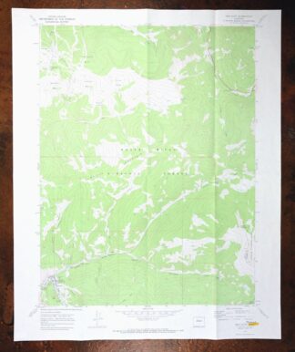
1973 USGS Topo Map: Red Cliff, Vail Ski Resort, Colorado
$52
A fascinating snapshot surveyed before the southward expansion of Vail Ski and before I-70 was constructed through Black Gore Creek, covering Mid Vail southward through Two Elks Creek and Battle Mountain to Red Cliff, showing all lifts and structures incl … This is a 7.5-minute USGS topographic sheet, a 1970 edition printed in 1973, drawn at 1:24,000 with 40-foot contours. It covers a stretch of the Colorado high country in Eagle and Summit counties, taking in Vail, the community of Red Cliff, and portions of the White River and Arapaho national forests along with the Eagles Nest Wilderness.
In stock
This vintage sheet is a 1970 edition of the Red Cliff Colorado USGS topographic map. It is an original 53-year-old 1973 United States Geological Survey print in very good condition.
HOW THIS MAP CAN BE USED
In addition to making a fascinating conversation piece, this sheet would look great in a frame or on display, make a unique and prized gift for anyone interested in this area, be perfect as a reference for genealogy studies or general historical research, or fill that missing piece in your collection. Maps of this vintage are printed on durable stock and are well-suited for outdoor activities and recreation of all kinds, including hiking, backpacking, hunting, rafting and kayaking, backcountry skiing, geocaching, general exploration, treasure hunting, etc.
FEATURES SHOWN ON THE MAP
The Red Cliff 7.5-minute map shows cities and towns, roads, paths, railroads, utilities and energy infrastructure, rivers, creeks, elevation contour lines, public land survey lines, county, state, and other administrative boundaries as they existed at the time of the survey in 1969 and 1970. All known structures (houses, businesses, churches, schools, barns, cabins, etc) are also shown.
A VALUABLE HISTORICAL RECORD
This map is from the 7.5-minute series, the most detailed series that is widely available from the USGS. The 1970 Red Cliff map is a valuable historical record for the area. It contains some placenames and features that have been dropped from more recent maps.
Nearby maps
-

Red Cliff Colorado Vail USGS 7.5-Min Topo Map 1988 Vintage
$35 Add to cart -
Vail East Colorado USGS 7.5-Min Topographic Map 1973 Vintage
$37 Add to cart -
Vail West Colorado Avon USGS 7.5-Min Topo Map 1973 Vintage
$38 Add to cart -

Frisco Colorado Dillon Reservoir Dillon USGS Topo Map 1973
$38 Add to cart -
1988 Edwards Colorado USGS Topo Map: Avon (Original Print)
$48 Add to cart -

Keystone Colorado USGS 7.5-Min Topographic Map 1963 Vintage
$35 Add to cart -

Mount Massive Colorado Vintage USGS Topographic Map 1975
$36 Add to cart -
Georgetown Colorado Silver Plume USGS Topo Map 1962 Vintage
$33 Add to cart -

Mount Powell Colorado Gore Range USGS Topo Map 1940 Antique
$32 Add to cart -
Montezuma Colorado Keystone USGS 15-Min Topographic Map 1926
$65 Add to cart -
1972 Montezuma Colorado USGS Topo Map: Keystone
$48 Add to cart -
Aspen Colorado USGS 7.5-Min Topographic Map 1964 Vintage
$48 Add to cart -
Georgetown Colorado Idaho Springs USGS Topo Map 1980 Vintage
$42 Add to cart -
Hot Sulphur Springs Colorado Parshall USGS Topo Map 1963
$39 Add to cart -
Leon White River NF Colorado USGS 7.5-Min Topo Map 1988
$36 Add to cart -
Shawnee Colorado Singleton USGS Topographic Map 1972 Vintage
$39 Add to cart -
1971 USGS Topo Map: Gore Pass, Red Dirt Reservoir, Colorado
$44 Add to cart -
Highland Peak Colorado Snowmass Village USGS Topo Map 1988
$43 Add to cart -
Central City Colorado Black Hawk USGS Topo Map 1964 Vintage
$32 Add to cart -
Bailey Colorado Will-O-The-Wisp Wandcrest USGS Topo Map 1973
$40 Add to cart -
Nederland Colorado Eldora Rollinsville USGS Topo Map 1964
$35 Add to cart -
1955 Tungsten Colorado USGS Topo Map: Barker Reservoir
$45 Add to cart -
Eldorado Springs Colorado Arvada Boulder USGS Topo Map 1961
$37 Add to cart -
Platte Canyon Colorado South Platte USGS Topo Map 1955
$44 Add to cart