MAP DETAILS | |
|---|---|
| TITLE | Mount Ethel |
| STATE | Colorado |
| LOCATION | 15 miles northeast of Steamboat Springs |
| SERIES | 15-minute |
| SURVEYED | 1955 Aerial and Field Survey |
| EDITION | 1955 |
| PRINTED | 1974 |
| PRINT NOTES | Thick paper stock, includes woodland tint (green to indicate vegetated areas) |
| SCALE | 1:62500 |
| CONTOUR INTERVAL | 40 feet |
| SHEET DIMENSIONS | 18 x 22 inches |
| MAP DIMENSIONS | 13 1/4 x 17 1/2 inches |
| COVERAGE AREA | 13 x 17 miles |
| SHEET CONDITION For maps of this vintage, effort is made to note all visible flaws, no matter how minor. | |
| OVERALL CONDITION | Excellent |
| SHEET NOTES | very lightly handled, never folded |
| MAP AREA | flawless map area |
| COLLARS | no wear or tears, no markings, no blemishes |
| MAP COVERAGE Quadrangle extent overlaid on current basemap. | |
| PLACENAMES Depending on map series and survey date, all of the features listed below may not be shown on this map. This list contains features that currently exist or historically existed within the area covered by the map. The list can be used as a reference to determine if this map covers your area of interest. Placenames are listed alphabetically next to each feature type. | |
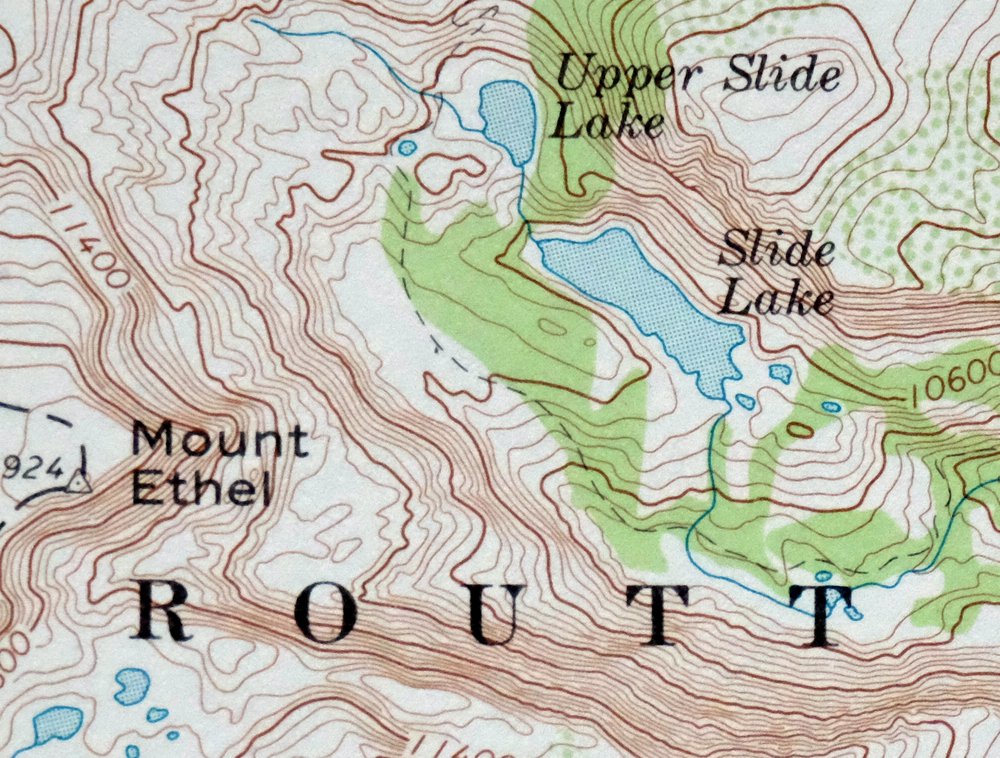
| NOTABLE PLACES | Park Range, Rainbow Lake, and Summit Lake |
| COUNTIES COVERED | Jackson and Routt |
| FEDERAL LAND UNITS | Mount Zirkel Wilderness and Routt National Forest |
| RIVERS AND STREAMS | Beaver Creek, Big Creek, Butler Creek, Chedsey Creek, Crosby Creek, Darling Creek, Doran Creek, East Branch South Fork Mad Creek, Granite Creek, Hell Creek, Little Grizzly Creek, Lone Pine Creek, Middle Fork Fish Creek, Newcomb Creek, Norris Creek, North Fork Big Creek, North Fork Fish Creek, North Fork Mad Creek, North Fork North Platte River, North Three Island Creek, Roaring Fork, Sawmill Creek, Soda Creek, South Fork Beaver Creek, South Fork Elk River, South Fork Mad Creek, South Fork Soda Creek, Spring Creek, Whalen Creek, and Wolverine Creek |
| WATER BODIES | Lake Albert, Bennett Reservoir, Big Creek Lake, Ceanothuse Lake, Lake Dinosaur, Dome Lake, Lake Elbert, Grizzly Lake, Hidden Lakes, Jonah Lake, Lake Katherine, Lower Rainbow Lake, Luna Lake, Martha Lake, Middle Rainbow Lake, Mirror Lake, North Lake, Porcupine Lake, Pristine Lake, Ptarmigan Lake, Red Canyon Reservoir, Rosa Lake, Ross Reservoir, Round Mountain Lake, Roxy Ann Lake, Sawmill Lake, Slide Lake, Spike Lake, Stambaugh Reservoir, Teal Lake, Tiago Lake, Upper Slide Lake, Whale Lake, and Wolverine Lake |
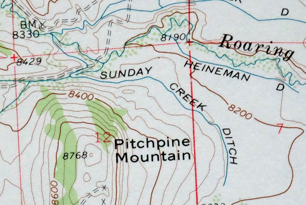
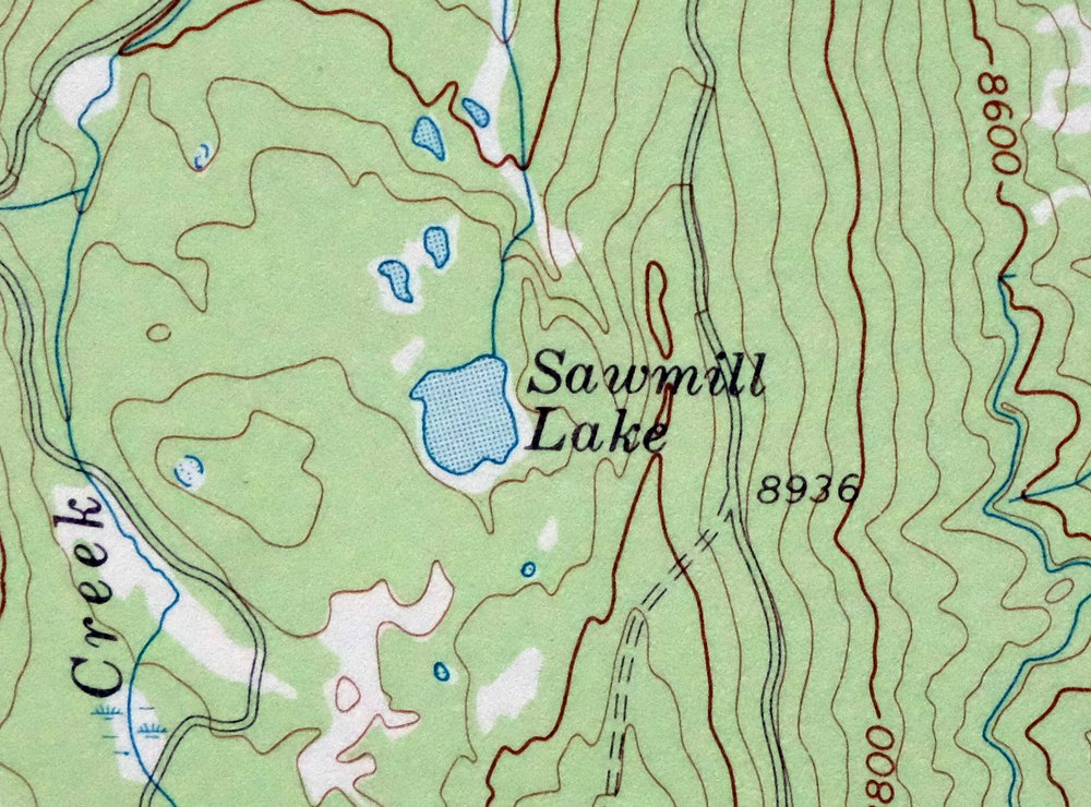
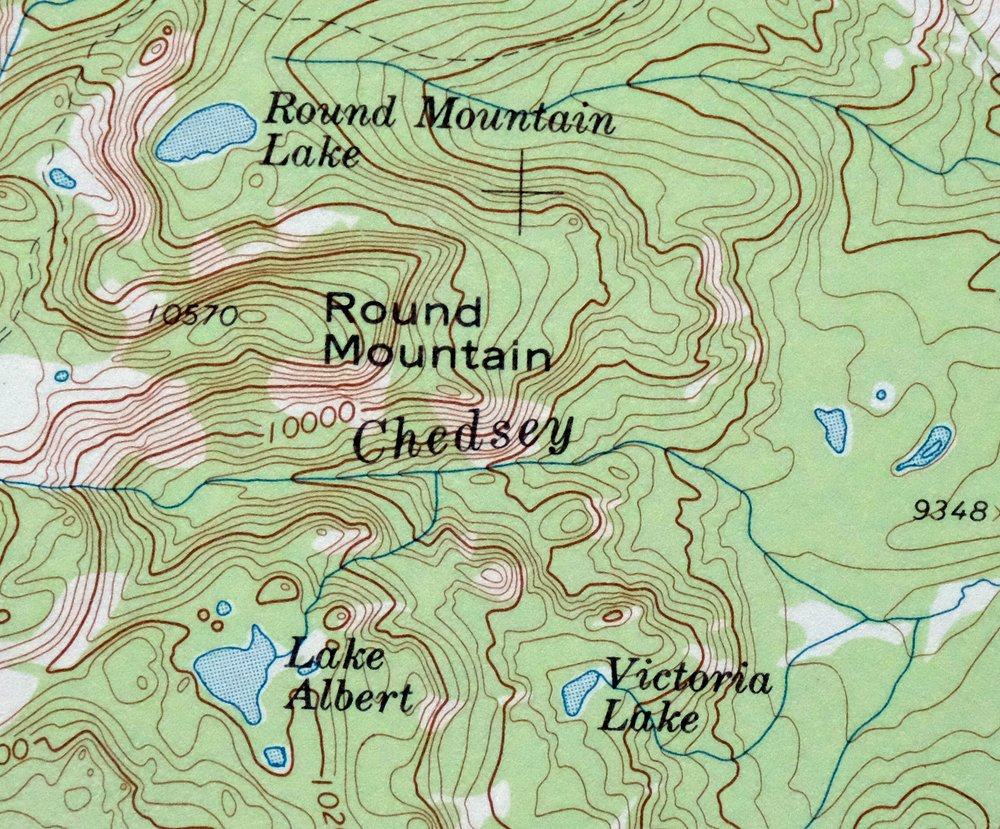
| Locations: Brands Ranch, Carlstrom Brothers Ranch, Emigh Ranch, Geer Ranch, Grizzly Creek Campground, Grizzly Creek Guard Station, Hidden Lakes Campground, Irvine Ranch, Johnson Ranch, Manville Ranch, Norris Ranch, Summit Lake Campground, and Summit Lake Guard Station. Mountain Ranges: Park Range. Mountains, Peaks, and Summits: Buffalo Mountain, Mount Ethel, The Dome, Horse Thief Peak, Lost Ranger Peak, Pitchpine Mountain, Round Mountain, and Soda Mountain. Valleys and Canyons: Burns Draw and Red Canyon. Parks: Mount Zirkel Wilderness. Trails: Big Creek Lake Trail, Crags Trail, Lost Ranger Trail, Newcomb Creek Trail, North Lake Trail, Rainbow Lake Trail, and Wyoming Trail. Drainages: Butler Creek, Crosby Creek, Darling Creek, Doran Creek, Newcomb Creek, Norris Creek, Porcupine Creek, Raspberry Creek, Sawmill Creek, South Fork Beaver Creek, Spring Creek, Sunday Creek, Whalen Creek, and Wolverine Creek. Mines: Crystal Mine, Joe Mine, Pedad Mine, and Spar Mine. Forests: Routt National Forest. Lakes and Ponds: Lake Albert, Agua Fria Lake, Big Creek Lake, Ceanothuse Lake, Lake of the Crags, Lakes of the Crags, Lake Dinosaur, Dome Lake, Lake Elbert, George Lake, Grizzly Lake, Hidden Lakes, Jonah Lake, Lake Katherine, Lower Rainbow Lake, Luna Lake, Martha Lake, Middle Rainbow Lake, Mirror Lake, North Lake, Porcupine Lake, Pristine Lake, Ptarmigan Lake, Rainbow Lake, Rosa Lake, Round Mountain Lake, Roxy Ann Lake, Sawmill Lake, Shoestring Lake, Slide Lake, Spike Lake, Summit Lake, Teal Lake, Tiago Lake, Upper Slide Lake, Victoria Lake, Whale Lake, and Wolverine Lake. Dams: Aqua Fria Dam, Bennett Dam, Burns Dam, Rock Dam, and Stambaugh Dam. Gaps: Buffalo Pass. Canals: Andrew Norrell Ditch, Antelope Ditch, Badger Ditch, Baker Ditch, Beaver Ditch, Bennett and Leshner Ditch, Briggs and Bohn Ditch, Butler Ditch, Butler Ditch Number 4, Canon Ditch, Chapman Ditch, Chedsey Ditch Number 2, Columbine Ditch, Cook Ditch, Darling Ditch, Doran Ditch, Earnest Ditch, Easson Ditch, Eriki Ditch, Glendale Ditch, Heineman Ditch, Higho Ditch, Hillside Ditch, Hodgson Ditch, Japanese Davidson Ditch, Jennie Ditch, Lillie Ditch, Lone Pine Ditch, Lucky Penny Ditch, Manville Ditch Number 2, Mitchell Ditch, Newcomb Ditch, Norrell Ditch, Norris Ditch, Open A Diamond Ditch, Pearl Ditch, Powell Ditch, Roaring Ditch, Ross Ditch, Ross Ditch Extension, Spring Gulch Ditch, Staples Ditch Number 1, Staples Ditch Number 2, Sunday Creek Ditch, Timber Ditch, and Wolfer Ditch. Basins: Wolverine Basin. Schools: Butler School. Reservoirs and Tanks: Aqua Fria Reservoir, Bennett Reservoir, Burns Reservoir, Red Canyon Reservoir, Rock Reservoir, Ross Reservoir, and Stambaugh Reservoir. Flats: Horse Thief Park, Livingston Park, and Newcomb Park. | |
| SHIPPING AND RETURNS | |
 This map sheet will be carefully rolled in a sturdy tube and shipped via the US Postal Service. If you find that the sheet you receive is not as described in the listing, you may ship it back to us for a refund of the purchase price. | |
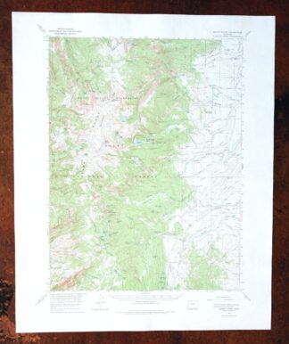
1974 USGS Topo Map: Mount Ethel, Park Range, Colorado
$41
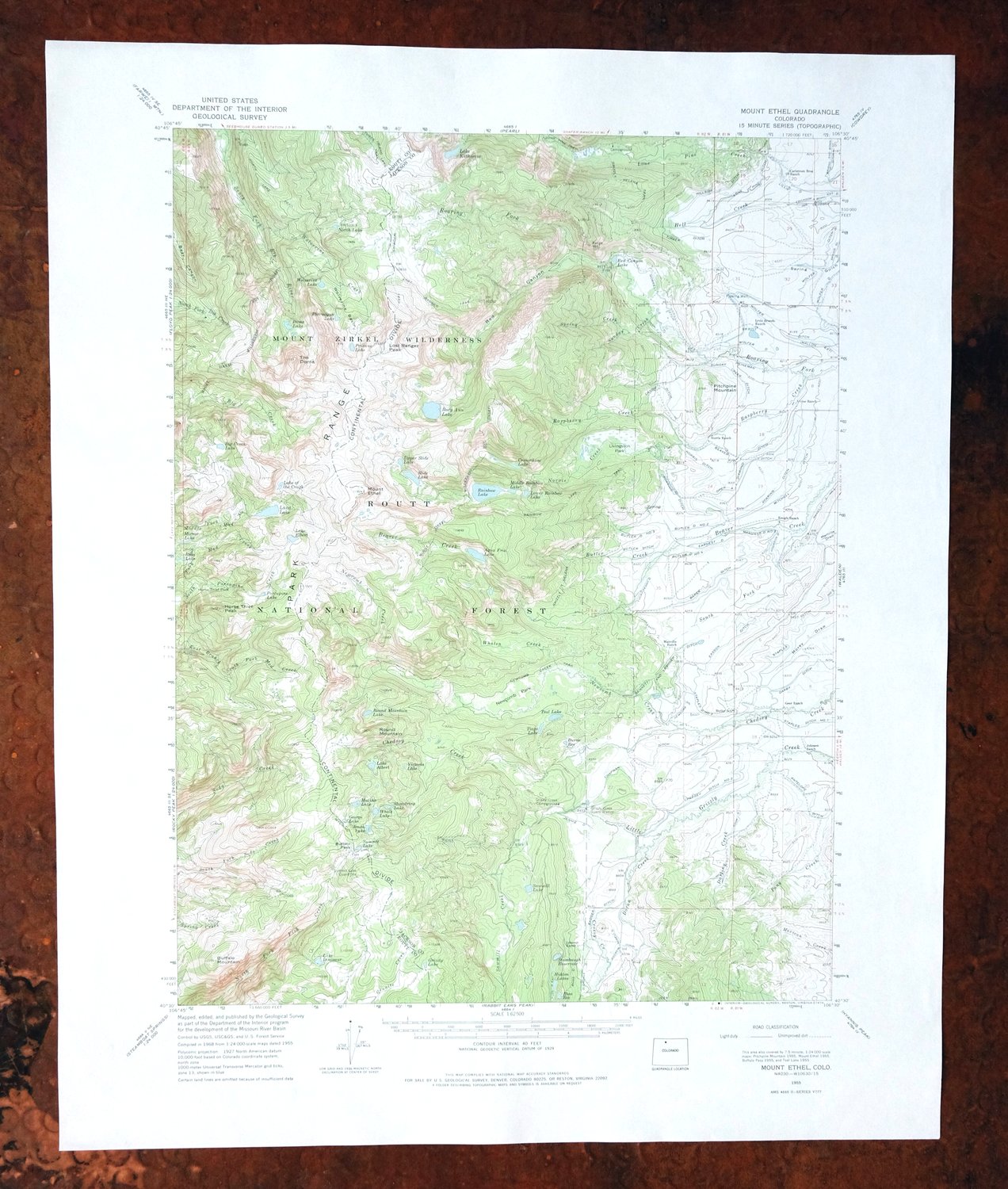
This USGS topographic map centers on Mount Ethel in the Park Range, drawn at the 15-minute scale from a 1955 aerial and field survey. First published in 1955, this sheet was printed in 1974 on thick stock with green woodland tint, covering roughly 13 by 17 miles of the mountains northeast of Steamboat Springs across Jackson and Routt counties. The quad takes in part of the Mount Zirkel Wilderness within Routt National Forest, high country of alpine lakes and the Continental Divide. Never folded and in excellent condition, it would frame well.
In stock
This vintage sheet is a 1955 edition of the Mount Ethel Colorado USGS topographic map. It is an original 52-year-old 1974 United States Geological Survey print in excellent condition.
HOW THIS MAP CAN BE USED
In addition to making a fascinating conversation piece, this sheet would look great in a frame or on display, make a unique and prized gift for anyone interested in this area, be perfect as a reference for genealogy studies or general historical research, or fill that missing piece in your collection. Maps of this vintage are printed on durable stock and are well-suited for outdoor activities and recreation of all kinds, including hiking, backpacking, hunting, rafting and kayaking, backcountry skiing, geocaching, general exploration, treasure hunting, etc.
FEATURES SHOWN ON THE MAP
The Mount Ethel 15-minute map shows cities and towns, roads, railroads, utilities and energy infrastructure, rivers, creeks, elevation contour lines, public land survey lines, county, state, and other administrative boundaries as they existed at the time of the survey in 1955. All known structures (houses, businesses, churches, schools, barns, cabins, etc) are also shown.
A VALUABLE HISTORICAL RECORD
Maps from the 15-minute series for the continental United States are no longer produced or printed by the USGS and original prints are becoming increasingly difficult to find. They are a valuable historical record for an area, as they contain many placenames and features that have been dropped from more recent maps.
Nearby maps
-

Pearl Colorado USGS 15-Min Topographic Map 1969 Vintage
$40 Add to cart -
Pilot Knob Colorado Routt NF USGS Topo Map 1963 Vintage
$37 Add to cart -
Kings Canyon Colorado North Sand Hills USGS Topo Map 1969
$34 Add to cart -
1971 USGS Topo Map: Gore Pass, Red Dirt Reservoir, Colorado
$44 Add to cart -

Daton Peak Colorado Routt NF Hayden USGS Topo Map 1965
$28 Add to cart -
Hot Sulphur Springs Colorado Parshall USGS Topo Map 1963
$39 Add to cart -

Mount Powell Colorado Gore Range USGS Topo Map 1940 Antique
$32 Add to cart -

1974 USGS Topo Map: Mount Powell, Gore Range, Colorado
$42 Add to cart -
Monument Butte Colorado Moffat Hamilton USGS Topo Map 1915
$52 Add to cart -
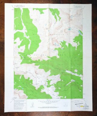
Trail Ridge Colorado USGS 7.5-Min Topo Map 1962 Vintage
$25 Add to cart -
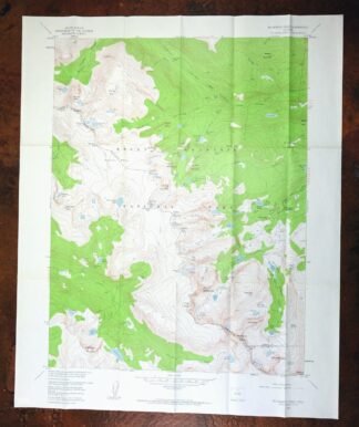
1959 Mchenrys Peak Colorado USGS Topo Map
$33 Add to cart -

Estes Park Colorado USGS 7.5-Min Topo Map 1961 Vintage
$31 Add to cart -
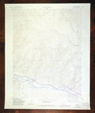
1988 Edwards Colorado USGS Topo Map: Avon (Original Print)
$38 Add to cart -
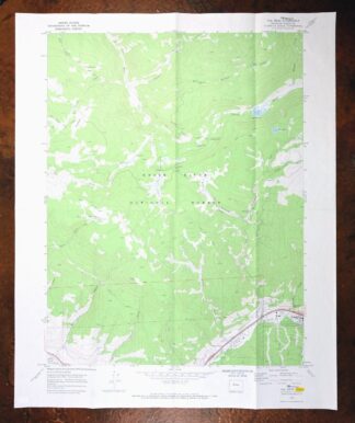
Vail West Colorado Avon USGS 7.5-Min Topo Map 1973 Vintage
$38 Add to cart -
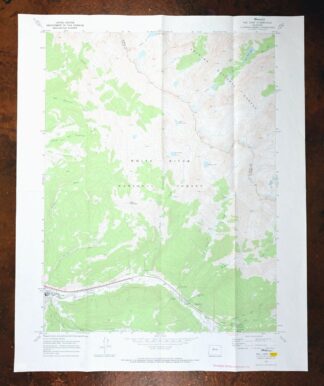
Vail East Colorado USGS 7.5-Min Topographic Map 1973 Vintage
$37 Add to cart -
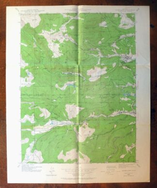
Nederland Colorado Eldora Rollinsville USGS Topo Map 1964
$35 Add to cart -

Red Cliff Colorado Vail USGS 7.5-Min Topo Map 1988 Vintage
$35 Add to cart -
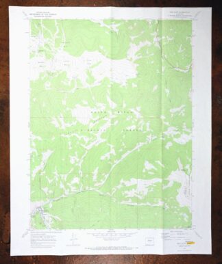
1973 USGS Topo Map: Red Cliff, Vail Ski Resort, Colorado
$50 Add to cart -
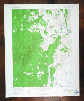
Lyons Colorado USGS 7.5-Min Topographic Map 1961 Vintage
$34 Add to cart -
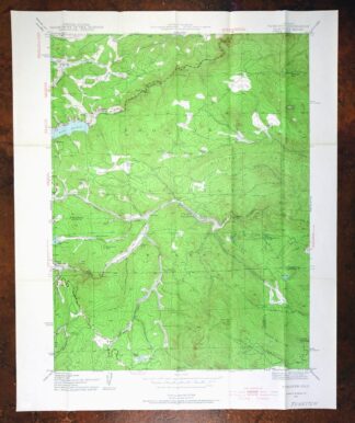
1955 Tungsten Colorado USGS Topo Map: Barker Reservoir
$39 Add to cart -

Frisco Colorado Dillon Reservoir Dillon USGS Topo Map 1973
$38 Add to cart -
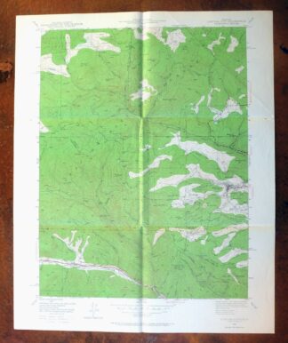
Central City Colorado Black Hawk USGS Topo Map 1964 Vintage
$32 Add to cart -
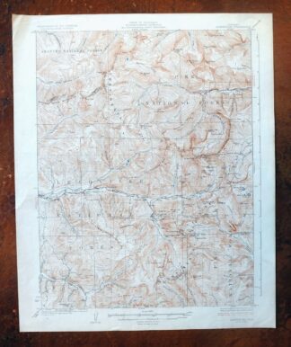
Montezuma Colorado Keystone USGS 15-Min Topographic Map 1926
$58 Add to cart -
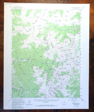
1972 Montezuma Colorado USGS Topo Map: Keystone
$46 Add to cart