MAP DETAILS | |
|---|---|
| TITLE | Whiting |
| STATE | New Jersey |
| LOCATION | Vicinity of Toms River |
| SERIES | 15-minute |
| SURVEYED | 1884 Field Survey |
| GEOGRAPHER | Henry Gannett |
| EDITION | 1888 |
| PRINTED | 1907 |
| PRINT NOTES | Thick paper stock |
| SCALE | 1:62500 |
| CONTOUR INTERVAL | 20 feet |
| SHEET DIMENSIONS | 16 1/2 x 20 inches |
| MAP DIMENSIONS | 13 3/8 x 17 1/2 inches |
| COVERAGE AREA | 13 x 17 miles |
| SOURCE | From an uncommonly well-preserved collection |
| MAP NOTES | A fascinating historical snapshot of the area from Whiting southward to Barnegat Township and the Penn State Forest, surveyed before the modern highway system, showing historic travel routes and placenames. |
| SHEET CONDITION For maps of this vintage, effort is made to note all visible flaws, no matter how minor. | |
| OVERALL CONDITION | Excellent |
| SHEET NOTES | very lightly handled, never folded, smooth and flat |
| MAP AREA | flawless map area |
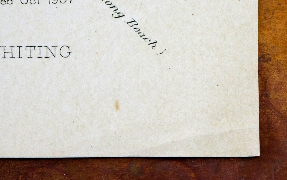
| COLLARS | no wear or tears, no markings, hole punches along left collar |
 | |
| MAP COVERAGE Quadrangle extent overlaid on current basemap. | |
| BACKSIDE LEGEND | |
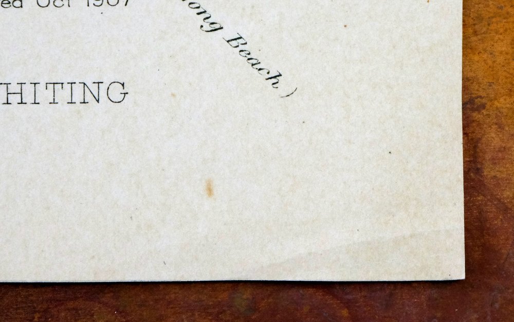
 A map summary is printed on the back side of the Whiting sheet similar to the one shown in the picture. It outlines the history, purpose, and status of the USGS mapping program at the time of the printing in 1907. It also provides instructions on how to read contour lines and a description of how they are used to depict the terrain. At the bottom of the page is a legend showing all of the symbols used to represent the cultural, relief, and water features found on the map. | |
| PLACENAMES Depending on map series and survey date, all of the features listed below may not be shown on this map. This list contains features that currently exist or historically existed within the area covered by the map. The list can be used as a reference to determine if this map covers your area of interest. Placenames are listed alphabetically next to each feature type. | |
| CITIES AND TOWNS (CURRENT) | Cedar Glen Lakes, Crestwood Village, Holiday City South, Holiday City-Berkeley, Holiday Heights, Leisure Village West-Pine Lake Park, Ocean Acres, Pine Ridge at Crestwood, and Toms River |
| COUNTIES COVERED | Burlington and Ocean |
| FEDERAL LAND UNITS | Fort Dix Military Reservation and Lakehurst Naval Air Station |
| RIVERS AND STREAMS | Biddle Branch, Cave Cabin Branch, Cedar Creek, Chamberlain Branch, Daniels Branch, Davenport Branch, Dry Branch, Eightmile Branch, Factory Branch, Fourmile Branch, Gates Branch, Goodwater Run, Green Branch, Hartshorne Mill Stream, Jakes Branch, Little Hurricane Branch, Long Branch, McDonalds Branch, Michaels Run, Middle Branch Forked River, Middle Branch Mount Misery Brook, Newbolds Branch, North Branch Forked River, North Branch Mount Misery Brook, North Branch Rancocas Creek, Old Hurricane Brook, Oswego River, Oyster Creek, Papoose Branch, Plains Branch, Pope Branch, Shoal Branch, Shreve Branch, South Branch Forked River, South Branch Mount Misery Brook, South Ruckels Branch, Sunken Branch, Sykes Branch, Tibbs Branch, Webbs Mill Branch, Wrangle Brook, and Yellow Dam Branch |
| WATER BODIES | Decou Pond, Goose Pond, Harry Wrights Lake, and Keswick Lake |
| Populated Place: Cedar Glen Lakes, Holiday Heights, Pine Ridge at Crestwood, Bamber Lake, Brighton at Barnegat Mobile Home Park, Pinewood Estates Mobile Home Park, Barnegat Estates, Brookville, Buckingham, Bullock, Camp Columbus, Cedar Crest, Crestwood Village, Dover Forge, Howardsville, Keswick Grove, Lacey, Red Oak Grove, Roosevelt City, Wells Mills, Wheatland, Whiting, Woodmansie, and Wrangell Brook Park. Locations: Bay Shore Rod and Gun Club, East Trenton Rod and Gun Club, Field and Stream Gunning Club, Good Will Camp, Rainbow Gun Club, Toms River Industrial Park, Boyds Hotel, Long Causeway, and Old Halfway. Administrative Boundaries: Township of Barnegat, Township of Lacey, and Township of Manchester. Mountains, Peaks, and Summits: Bear Swamp Hill, Forked River Mountain, and Spring Hill. Parks: Wells Mills County Park, Greenwood Forest Wildlife Management Area, Manchester Wildlife Management Area, Pasadena Wildlife Management Area, Whiting Wildlife Management Area, and William Raws Monument. Drainages: Biddle Branch, Cave Cabin Branch, Chamberlain Branch, Daniels Branch, Deer Branch, Deer Park Branch, Forked Brook, Goodwater Branch, Goodwater Run, Green Branch, Little Hurricane Branch, Long Branch, Michaels Branch, Newbolds Branch, Pope Branch, Shreve Branch, Sykes Branch, Webbs Mill Branch, and Yellow Dam Branch. Churches: Saint Johns Church. Post Office: Whiting Post Office. Forests: Lebanon State Forest. Lakes and Ponds: Decou Pond, Goose Pond, and Keswick Lake. Buildings: Bamber Lakes Fire Department, Barnegat Volunteer Fire Company 1 Station 11 - 2, Bonds Half-Way House, Hi-Way Lodge, Whiting Volunteer Fire Company 1, William Raws Building, Holiday City At Berkeley First Aid Squad, Off Road Vehicle Park Ambulance, Silver Ridge Park First Aid Squad, and Whiting Volunteer First Aid Squad. Dams: Bamber Lake Dam, Hanover Dam, Mill Dam, Upper Kesick Dam, Wells Mills Reservoir Dam, Wrangel Brook Dam, and Wrights Dam. Airports: Coyle Field and Ocean County Airport. Swamps: Cedar Swamp and Dover Cranberry Bog. Census: Cedar Glen Lakes Census Designated Place, Crestwood Village Census Designated Place, Holiday City-Berkeley Census Designated Place, Holiday Heights Census Designated Place, and Pine Ridge at Crestwood Census Designated Place. Schools: Hilltop Nursery and Kindergarten School and Whiting Elementary School. Reservoirs and Tanks: Bamber Lake, Hanover Pond, Harry Wrights Lake, Mill Pond, and Wells Mills Reservoir. Towers: WNJO-AM (Toms River) and WQNJ-FM (Ocean Acres). Cemetery: Reevestown Cemetery. | |
| SHIPPING AND RETURNS | |
 This map sheet will be carefully rolled in a sturdy tube and shipped via the US Postal Service. If you find that the sheet you receive is not as described in the listing, you may ship it back to us for a refund of the purchase price. | |

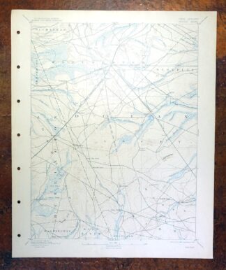
Whiting New Jersey Barnegat Toms River USGS Topo Map 1907
$85
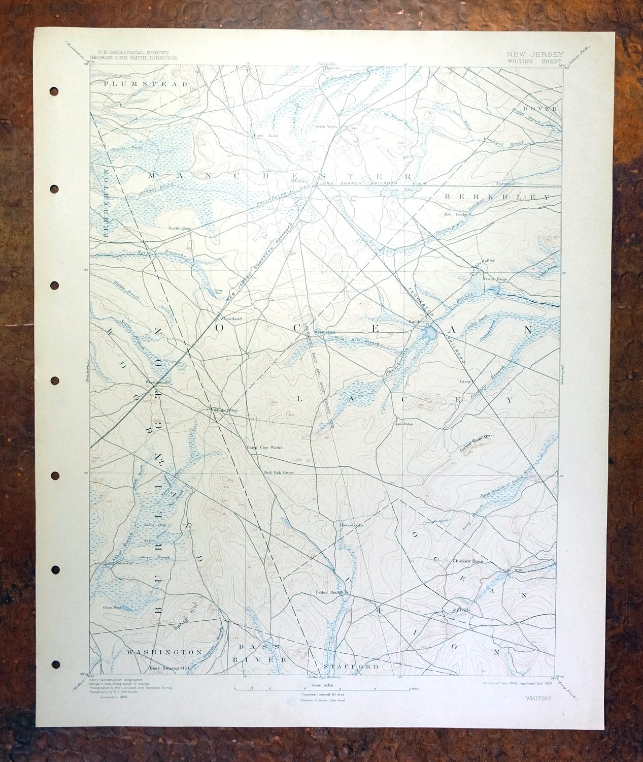
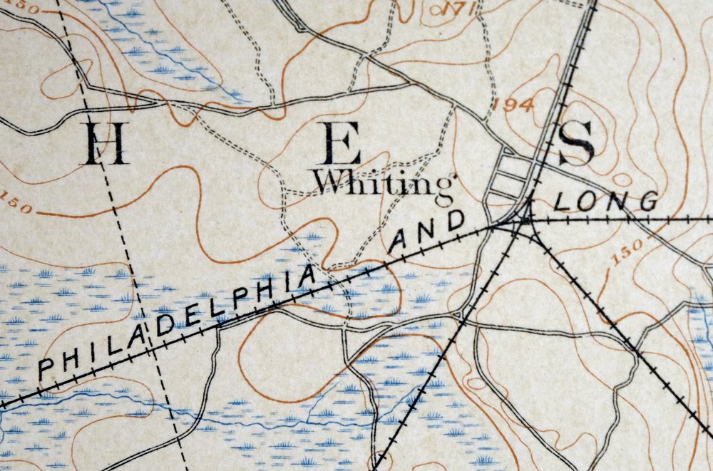
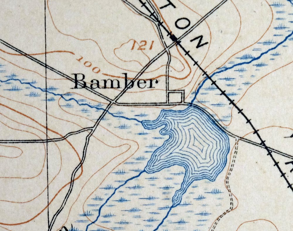
This 15-minute USGS topographic sheet is an 1888 edition printed in 1907, and the antique paper is in excellent condition — never folded, smooth and flat, with a flawless map area and only hole punches along the left collar. Drawn from an 1884 field survey credited to geographer Henry Gannett, it takes in the New Jersey Pinelands country from Whiting southward toward Barnegat Township, with Toms River and much of Ocean and Burlington counties within the quad boundaries, along with the grounds of Lakehurst Naval Air Station. Surveyed before the modern highway system, it records historic travel routes and placenames across the region, and this example comes from an uncommonly well-preserved collection on thick stock, with printed reference material on the reverse.
In stock
This antique sheet is an 1888 edition of the Whiting New Jersey USGS topographic map. It is an authentic 119-year-old 1907 United States Geological Survey print in excellent condition.
HOW THIS MAP CAN BE USED
In addition to making a fascinating conversation piece, this sheet would look great in a frame or on display, make a unique and prized gift for anyone interested in this area, be perfect as a reference for genealogy studies or general historical research, or fill that missing piece in your collection.
FEATURES SHOWN ON THE MAP
The Whiting 15-minute map shows cities and towns, roads, railroads, rivers, creeks, elevation contour lines, public land survey lines, county, state, and other administrative boundaries as they existed at the time of the survey in 1884. All known structures (houses, businesses, churches, schools, barns, cabins, etc) are also shown, with exceptions in some urban areas, where only landmark buildings may be shown.
A VALUABLE HISTORICAL RECORD
Maps from the 15-minute series for the continental United States are no longer produced or printed by the USGS and original prints are becoming increasingly difficult to find. They are a valuable historical record for an area, as they contain many placenames and features that have been dropped from more recent maps.
Nearby maps
-

Burlington Pennsylvania Trenton USGS Topographic Map 1958
$49 Add to cart -
Germantown Pennsylvania Horsham USGS Topographic Map 1912
$125 Add to cart -

Dennisville New Jersey Villas Woodbine USGS Topo Map 1910
$90 Add to cart -

Quakertown Pennsylvania Lansdale Perkasie USGS Topo Map 1911
$95 Add to cart -
Rancocas New Jersey Vineland Lindenwold USGS Topo Map 1913
$85 Add to cart -

Trenton New Jersey Philadelphia Levittown USGS Topo Map 1907
$150 Add to cart -

New Brunswick New Jersey Spotswood Edison USGS Topo Map 1965
$32 Add to cart -

Plainfield New Jersey Edison Somerset USGS Topo Map 1965
$42 Add to cart -
Vineland New Jersey Dover Millville USGS Topo Map 1905
$115 Add to cart -

Harlem New York New York Yonkers USGS Topo Map 1913 Antique
$250 Add to cart -

Coatesville Pennsylvania Oxford USGS Topographic Map 1944
$36 Add to cart -

Honey Brook Pennsylvania Thorndale USGS Topographic Map 1962
$49 Add to cart -

Park Ridge New Jersey New City Ridgewood USGS Topo Map 1963
$45 Add to cart -
Dover Delaware Bombay Hook NWR Middletown USGS Topo Map 1906
$47 Add to cart -
Wallpack New Jersey Newton Crandon Lakes USGS Topo Map 1916
$95 Add to cart -

Quarryville Pennsylvania Oxford USGS Topographic Map 1944
$53 Add to cart -

New Holland Pennsylvania Ephrata Akron USGS Topo Map 1962
$48 Add to cart -
Norwalk South Connecticut Stamford Darien USGS Topo Map 1963
$40 Add to cart -

Wernersville Pennsylvania Mohnton USGS Topographic Map 1963
$45 Add to cart -

Goshen New York Middletown Warwick USGS Topographic Map 1913
$55 Add to cart -

Schunemunk New York Newburgh Kiryas Joel USGS Topo Map 1915
$65 Add to cart -

Hazleton Pennsylvania Lansford Tamaqua USGS Topo Map 1956
$48 Add to cart -

Milford Pennsylvania Lackawaxen Pond Eddy USGS Topo Map 1915
$58 Add to cart -

West Point New York Newburgh Peekskill USGS Topo Map 1912
$75 Add to cart