MAP DETAILS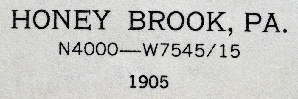 | |
|---|---|
| TITLE | Honey Brook |
| STATE | Pennsylvania |
| LOCATION | Vicinity of Coatesville, 40 miles west of Philadelphia |
| SERIES | 15-minute |
| SURVEYED | 1904 and 1905 Field Survey |
| GEOGRAPHER | H.M. Wilson |
| EDITION | 1905 |
| PRINTED | 1962 |
| PRINT NOTES | Thick paper stock |
| SCALE | 1:62500 |
| CONTOUR INTERVAL | 20 feet |
| SHEET DIMENSIONS | 17 x 21 inches |
| MAP DIMENSIONS | 13 3/8 x 17 1/2 inches |
| COVERAGE AREA | 13 x 17 miles |
| MAP NOTES | Surveyed before the modern interstate system, showing historic overland routes and placenames. |
| SHEET CONDITION For maps of this vintage, effort is made to note all visible flaws, no matter how minor. | |
| OVERALL CONDITION | Very Good |
| SHEET NOTES | lightly handled, never folded |
| MAP AREA | flawless map area |
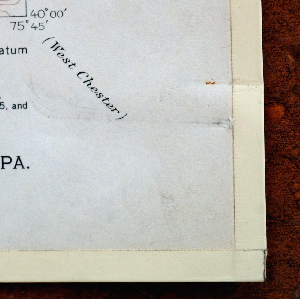
| COLLARS | no markings, minor paperclip residue in lower right collar corner, edge protectors applied, no edge tears, library stamp in center right collar |
 | |
| MAP COVERAGE Quadrangle extent overlaid on current basemap. | |
| PLACENAMES Depending on map series and survey date, all of the features listed below may not be shown on this map. This list contains features that currently exist or historically existed within the area covered by the map. The list can be used as a reference to determine if this map covers your area of interest. Placenames are listed alphabetically next to each feature type. | |
| CITIES AND TOWNS (CURRENT) | Brandywine Manor, Cambridge, Churchtown, Coatesville, Elverson, Geigertown, Glenmoore, Guthriesville, Honey Brook, Joanna, Loag, Morgantown, New Morgan, Scarlets Mill, Thorndale, and Warwick |
| COUNTIES COVERED | Berks, Chester, and Lancaster |
| FEDERAL LAND UNITS | Hopewell Furnace National Historic Site |
| RIVERS AND STREAMS | Allegheny Creek, Angelica Creek, Beaver Creek, Beaver Run, Birch Run, Black Creek, Conestoga River, Culbertson Run, East Branch Brandywine Creek, East Branch Conestoga River, French Creek, Hay Creek, Indian Corn Creek, Indian Run, Lyons Run, Marsh Creek, North Branch Indian Run, Pequea Creek, Rock Run, Sixpenny Creek, South Branch French Creek, Two Log Run, West Branch Brandywine Creek, and West Branch Conestoga River |
| WATER BODIES | Birdsboro Reservoir, Coatesville Reservoir, Grace Mine Tailings Reservoir, Hopewell Lake, Icedale Lake, Jones Millpond, and Scotts Run Lake |
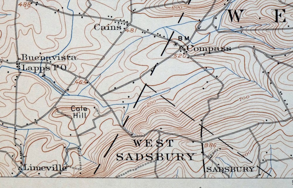
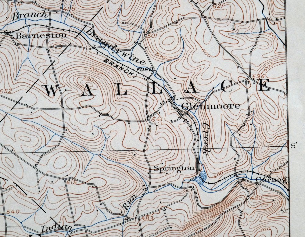
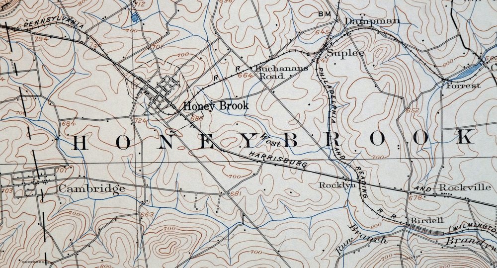
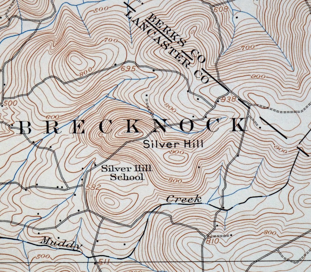
| Populated Place: Briarwood, Brittany Estates, Pennwood Farms, Trap Rock, Alleghenyville, Barneston, Beartown, Beckersville, Birdell, Bondsville, Brandamore, Brandywine Manor, Buena Vista, Cains, Caln Meeting House, Cambridge, Cedar Knoll, Church Hill, Churchtown, Cold Run, Cole Hill, Compass, Conestoga, Cornog, Cupola, Dampman, Elverson, Fisherville, Fontaine, Geigertown, Glenmoore, Guthriesville, Honey Brook, Icedale, Isabella, Joanna, Joanna Furnace, Joanna Heights, Kenneys, Knauers, Kulptown, Lewis Mills, Limeville, Little Washington, Loag, Maple Grove Park, Martins Corner, Meadville, Morgantown, Mountain Top, Narvon, New Morgan, Phillipsville, Pine Swamp, Plowville, Reeceville, Rocklyn, Rockville, Scarlets Mill, Siousca, South Hermitage, Springton, State Hill, Suplee, Trythall, Wagontown, Warwick, White Horse, and Wyebrooke. Locations: Peter J Camiel Service Plaza, Struble Lake Recreation Area Boat Ramp, Camp Adahi, Camp Clewell, Clock Tower Plaza, Conestoga Landfill, French Creek Campground, Green Hills Sportsmen's Club, High Point Camp, Joanna Furnace, Lanchester Landfill, Maple Grove Park Campground, Maple Grove Raceway, Morgantown Crossings, Morgantown Industrial Park, New Morgan Industrial Park, Northgate Business Center, Penn Sylvan Health Society, Plantation Walking Horse Club, Saint Benedicts Picnic Ground, Seldomridge Farm, Thousand Oaks Corporate Center, Camp Indian Run, Coatesville Country Club, Green Hills Golf Course, Hopewell Furnace, Hummels Store, Ingleside Golf Course, Lapps, Marsh, Morgantown Factory Outlet Mall, Norwood, Saint Monicas Camp, and Tel-Hai Camp. Administrative Boundaries: Borough of Elverson, Borough of Honey Brook, Borough of New Morgan, Township of Brecknock, Township of Caernarvon, Township of Caln, Township of East Brandywine, Township of Honey Brook, Township of Robeson, Township of Salisbury, Township of Union, Township of Wallace, Township of Warwick, Township of West Brandywine, Township of West Caln, and Township of West Nantmeal. Mountain Ranges: The Baron Hills. Reserves: Birdsboro Quarry, Hay Creek Watershed, and Pine Swamp Natural Area. Mountains, Peaks, and Summits: Brush, Chestnut Hill, Long Mountain, Mountain Pleasure, Silver Hill, Thomas Hill, Trap Rock, Welsh Mountain, and Williams Hill. Valleys and Canyons: Sleepy Hollow. Parks: Caernarvon Township Park, Friendship Fire Company Baseball Field, Livingood Park, Maple Grove Park, Plowville Lutheran Ballfield, French Creek State Park, Hopewell Furnace National Historic Site, State Game Lands Number 43, and State Game Lands Number 52. Trails: Boone Trail, Colliers Trail, Kalmia Trail, Mill Creek Trail, Ridge Trail, Six Penny Trail, Turtle Trail, and Lenade Trail. Drainages: Sleepy Hollow Run, Beaver Run, Birch Run, East Branch Conestoga River, Indian Run, Indian Spring Run, Little Conestoga, Lyons Run, North Branch Indian Run, Pine Creek, Scotts Run, Two Log Run, and West Branch Conestoga River. Mines: Honey Brook Quarry, Silver Hill Quarry, and Grace Mine. Churches: Emmanuel Church, Allegheny Lutheran Church, Allegheny United Church of Christ, High Point Baptist Chapel, Morgantown Community Church, Morgantown United Methodist Church, Saint Benedicts Roman Catholic Church, Saint Thomas Episcopal Church, Alleghenyville Church, Bethesda Church, Bridgeville Church, East Nantmeal Church, Ebenezer Church, Fairview Church, Goodwill Church, Grace Church, Harmony Church, Hibernia Church, Lichty Church, Mount Culmen Church, Mount Shiloh Church, Mount Zion Church, Old Road Church, Pequea Church, Robeson Church, Rock Church, Saint James Church, Saint Johns Church, Saint Marks Church, Saint Pauls Church, Sandy Hill Church, Wenger Church, and Zion Church. Post Office: Brandamore Post Office, Glenmoore Post Office, Wagontown Post Office, Elverson Post Office, Geigertown Post Office, Honey Brook Post Office, Morgantown Post Office, and Narvon Post Office. Hospitals: Brandywine Hospital and Coatesville VA Medical Center. Lakes and Ponds: Jones Millpond. Buildings: Caernarvon Fire Company Station 34, Coatesville Department of Veterans Affairs Fire Department Station 76, East Brandywine Fire Company Station 49, East Brandywine Township Police Station, Glen Moore Fire Company Station 48, Hatfield House, Hibernia Mansion, Martins Corner Volunteer Fire Company Station 34, Wagontown Volunteer Fire Company Station 35, Wallace Township Building, Wallace Township Police Station, West Brandywine Township Building, West Brandywine Township Police Station, West Caln Township Building, West Caln Township Police Station, Birdsboro - Union Fire Department Station 7 - 2, Brecknock Township Building, Brecknock Township Fire Department Station 72, Brecknock Township Police Department, Caernarvon Township Municipal Building, Caernarvon Township Police Department, Cornell Abraxas Academy, East Brandywine Township Police Department, French Creek Amphitheatre, Friendship Fire Company 1 Geigertown Station 24, Grange Hall, Honey Brook Ambulance, Honey Brook Borough Police Department, Honey Brook Fire Company Station 33, Hopewell Furnace National Historic Site Visitor's Center, New Morgan Borough Building, Twin Valley Fire Company West Station, Twin Valley Fire Department Station 69, Twin Valley Medical Center, Union Township Municipal Building, Village Library of Morgantown, West Brandywine Township Police Department, West Caln Township Police Department, Brandywine Facility, Cornog Station, Old Mill Bible Conference, Saint Marys of Providence, and Springton Station. Dams: Bethlehem Mines Corporation Dam, Birdsboro Reservoir Dam, Bondsville Dam, Brandamore Dam, Coatesville Dam, Grace Mine Diversion Dam, Grace Mine Tailings Dam, Hampton Dam, Hopewell Dam, Indian Run Dam, Mill Water Dam, Robert G Struble Dam, Rock Run Dam, Scotts Run Dam, Sixpenny Dam, and Wagontown Dam. Airports: Morgantown Airport. Swamps: Pine Swamp. Census: Alleghenyville Census Designated Place, Churchtown Census Designated Place, Glenmoore Census Designated Place, and Morgantown Census Designated Place. Schools: North Brandywine Middle School, Reeceville Elementary School, High Point Baptist Academy, Little Mates Child Development Center, Robeson Elementary Center, Twin Valley Elementary Center, Twin Valley Middle School, Brandywine Wallace Elementary School, Buchland School, California School, Central School, Compass School, Conestoga School, Devereux School, Franklin School, Governor Mifflin School, Hause School, Lincoln School, Maxwell School, Meadville School, Mount Hope School, Mount Pleasant School, Oak Glen School, Pine Grove School, Sandy Hill School, Smoketown School, Twin Valley High School, Waterloo School, White Hall School, and White School. Reservoirs and Tanks: Camp Adahi Swimming Pool, Glen Morgan Lake, High Point Camp Pool, Penn Sylvan Health Society Pool, Birdsboro Reservoir, Coatesville Reservoir, Hopewell Lake, Icedale Lake, Scotts Run Lake, and Struble Lake. Towers: Hopewell Fire Tower and WCOJ-AM (Coatesville). Springs: Stolzfus Spring. Cemetery: All Souls Cemetery, Allegheny Union Cemetery Old, Allegheny Union Church Cemetery New, Alleghenyville Mennonite Cemetery, Bangor Episcopal Cemetery, Bethel Evangelical Cemetery, Bethesda Baptist Church Cemetery, Blank Cemetery, Bridgeville Evangelical Congregational Cemetery, Buena Vista Amish Cemetery, Caernarvon Church Cemetery, Caln Friends Orthodox Burial Ground, Cambridge Amish Cemetery, Cambridge Friends Meeting Cemetery, Cambridge Meeting Cemetery, Churchtown Old Order Mennonite Cemetery, Churchtown United Methodist Church Cemetery, Conestoga Mennonite Church Cemetery, East Nantmeal Baptist Cemetery, Ebenezer Bible Chapel Cemetery, Elverson Methodist Cemetery, Emmanuel Cemetery, Fairview Presbyterian Church Cemetery, Forks of the Brandywine 1822 Cemetery, Forks of the Brandywine Cemetery, Forks of the Brandywine Seceder Cemetery, Gault Graveyard, Glen Moore Methodist Cemetery, Goodwill United Methodist Cemetery, Gospel Tabernacle Church Cemetery, Harmony United Methodist Church Cemetery, Hertzler Family Graveyard, Hibernia Methodist Episcopal Church Cemetery, Honey Brook Mennonite Cemetery, Honey Brook Presbyterian Cemetery, Honey Brook United Methodist Church Cemetery, Lichty's Mennonite Church Cemetery, Limeville United Methodist Cemetery, Living God Lutheran Church Columbarium, Meadville Mennonite Cemetery, Mount Culmen Evangelical Congregational Cemetery, Mount Zion United Methodist Church Cemetery, Old Caln Friends Meeting Burial Ground, Old Road Mennonite Cemetery, Pequea Amish Mennonite Cemetery, Pequea Baptist Cemetery, Pequea Presbyterian Cemetery, Pine Swamp Cemetery, Robeson Lutheran Church Cemetery, Robeson Monthly Meeting Cemetery, Rock Church Road Cemetery, Saint James Cemetery, Saint Johns Episcopal Church Cemetery, Saint Mark's Episcopal Church Cemetery, Saint Mary of Providence Cemetery, Saint Marys Episcopal Church Cemetery, Saint Pauls United Methodist Church Cemetery, Saint Thomas Episcopal Church Cemetery, Sandy Hill African Methodist Episcopal Cemetery, Sandy Hill Mennonite Cemetery, Styer Family Cemetery, Union Burial Ground, West Caln Baptist Cemetery, West Caln Meeting Cemetery, Zion Menonite Church Cemetery, Beth Israel Cemetery, Caernarvon Cemetery, Mast Cemetery, Morningside Cemetery, Pine Grove Cemetery, Saint Stanislaus Cemetery, and Warwick Bible Church Cemetery. | |
| SHIPPING AND RETURNS | |
 This map sheet will be carefully rolled in a sturdy tube and shipped via the US Postal Service. If you find that the sheet you receive is not as described in the listing, you may ship it back to us for a refund of the purchase price. | |
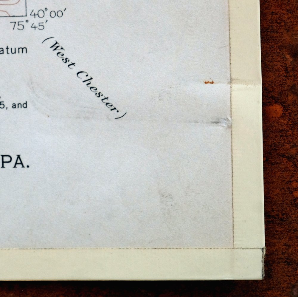
Honey Brook Pennsylvania Thorndale USGS Topographic Map 1962
$49
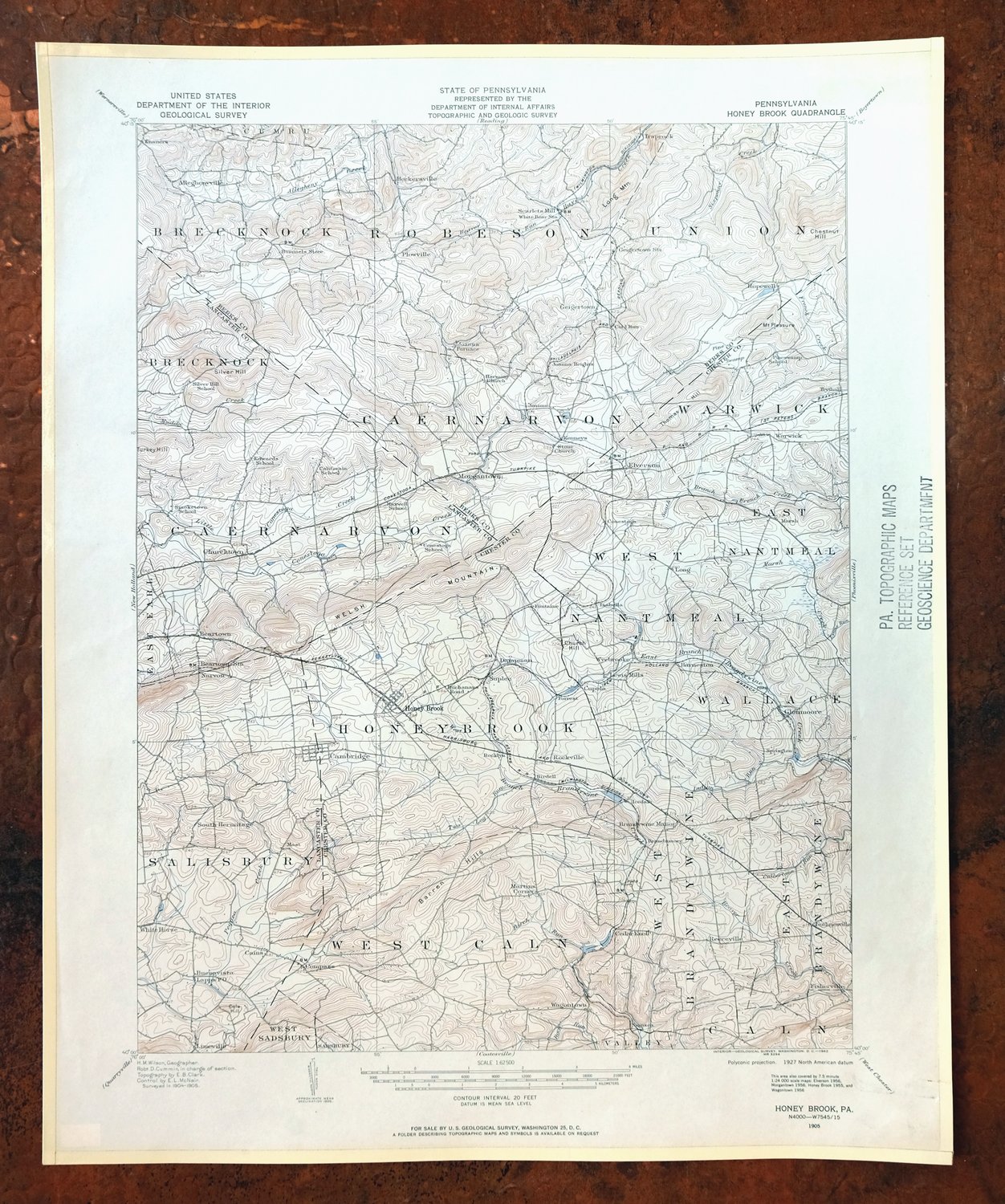
This USGS 15-minute topographic sheet is a 1905 edition printed in 1962, in very good condition on thick stock, lightly handled and never folded. Covering an area of southeastern Pennsylvania in the vicinity of Coatesville about 40 miles west of Philadelphia, the quad takes in the borough of Honey Brook along with Thorndale, Elverson, Morgantown, and Warwick, spanning parts of Berks, Chester, and Lancaster counties. Based on a 1904 and 1905 field survey, it records the overland roads and placenames of the area before the interstate system reshaped travel through the region. The map area is flawless, and its combination of thick stock and an unfolded sheet makes it well suited to framing.
In stock
This vintage sheet is a 1905 edition of the Honey Brook Pennsylvania USGS topographic map. It is an original 64-year-old 1962 United States Geological Survey print in very good condition.
HOW THIS MAP CAN BE USED
In addition to making a fascinating conversation piece, this sheet would look great in a frame or on display, make a unique and prized gift for anyone interested in this area, be perfect as a reference for genealogy studies or general historical research, or fill that missing piece in your collection. Maps of this vintage are printed on durable stock and are well-suited for outdoor activities and recreation of all kinds, including hiking, backpacking, hunting, rafting and kayaking, backcountry skiing, geocaching, general exploration, treasure hunting, etc.
FEATURES SHOWN ON THE MAP
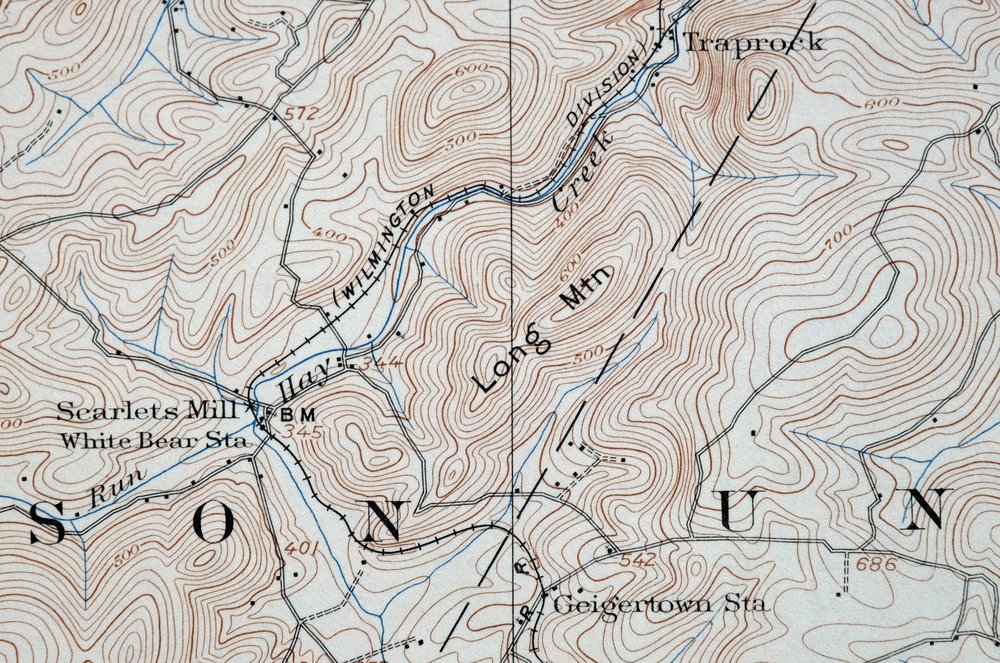
The Honey Brook 15-minute map shows cities and towns, roads, railroads, utilities and energy infrastructure, rivers, creeks, elevation contour lines, public land survey lines, county, state, and other administrative boundaries as they existed at the time of the survey in 1904 and 1905. All known structures (houses, businesses, churches, schools, barns, cabins, etc) are also shown, with exceptions in some urban areas, where only landmark buildings may be shown.
A VALUABLE HISTORICAL RECORD
Maps from the 15-minute series for the continental United States are no longer produced or printed by the USGS and original prints are becoming increasingly difficult to find. They are a valuable historical record for an area, as they contain many placenames and features that have been dropped from more recent maps.
Nearby maps
-

New Holland Pennsylvania Ephrata Akron USGS Topo Map 1962
$48 Add to cart -

Coatesville Pennsylvania Oxford USGS Topographic Map 1944
$36 Add to cart -

Wernersville Pennsylvania Mohnton USGS Topographic Map 1963
$45 Add to cart -

Quarryville Pennsylvania Oxford USGS Topographic Map 1944
$53 Add to cart -

Lancaster Pennsylvania Columbia Lititz USGS Topo Map 1943
$58 Add to cart -

Quakertown Pennsylvania Lansdale Perkasie USGS Topo Map 1911
$120 Add to cart -
Germantown Pennsylvania Horsham USGS Topographic Map 1912
$125 Add to cart -

Hummelstown Pennsylvania Hershey Palmyra USGS Topo Map 1965
$37 Add to cart -

Hazleton Pennsylvania Lansford Tamaqua USGS Topo Map 1956
$48 Add to cart -

Lykens Pennsylvania Valley View Reinerton USGS Topo Map 1964
$45 Add to cart -

Burlington Pennsylvania Trenton USGS Topographic Map 1958
$49 Add to cart -

Catawissa Pennsylvania Bloomsburg Ashland USGS Topo Map 1960
$45 Add to cart -

Carlisle Pennsylvania Schlusser USGS Topographic Map 1964
$45 Add to cart -

Hazleton Pennsylvania McAdoo Jeddo USGS Topographic Map 1962
$47 Add to cart -

Trenton New Jersey Philadelphia Levittown USGS Topo Map 1907
$150 Add to cart -
Dover Delaware Bombay Hook NWR Middletown USGS Topo Map 1906
$47 Add to cart -

Tolchester Maryland Dundalk Essex USGS Topo Map 1908 Antique
$145 Add to cart -
Rancocas New Jersey Vineland Lindenwold USGS Topo Map 1913
$135 Add to cart -
Vineland New Jersey Dover Millville USGS Topo Map 1905
$115 Add to cart -
Wilkes-barre West Pennsylvania Nanticoke USGS Topo Map 1958
$30 Add to cart -

Wilkes-barre East Pennsylvania Laurel Run USGS Topo Map 1959
$36 Add to cart -

Patapsco Maryland Baltimore Jessup USGS Topographic Map 1908
$195 Add to cart -

New Brunswick New Jersey Spotswood Edison USGS Topo Map 1965
$32 Add to cart -

Newville Pennsylvania Shippensburg USGS 15-Min Topo Map 1959
$40 Add to cart
