MAP DETAILS | |
|---|---|
| TITLE | Milford |
| STATE | Utah |
| LOCATION | 50 miles north of Cedar City |
| SERIES | 15-minute |
| SURVEYED | 1951 through 1958 Aerial and Field Survey |
| EDITION | 1958 |
| PRINTED | 1960 |
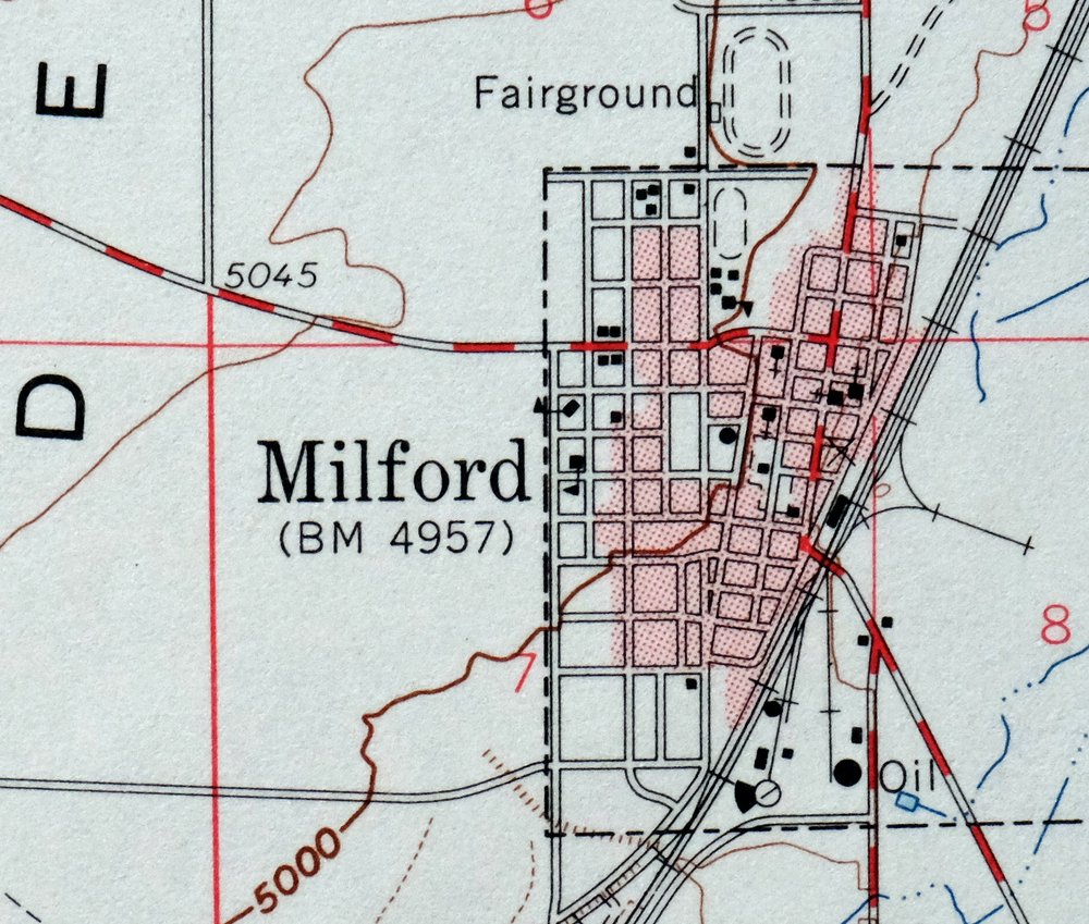
| PRINT NOTES | Thick paper stock. A reddish tint is used to indicate urban areas where only landmark buildings are shown. |
| SCALE | 1:62500 |
| CONTOUR INTERVAL | 40 feet |
| SHEET DIMENSIONS | 17 x 21 inches |
| MAP DIMENSIONS | 13 3/4 x 17 1/2 inches |
| COVERAGE AREA | 14 x 17 miles |
| SHEET CONDITION For maps of this vintage, effort is made to note all visible flaws, no matter how minor. | |
| OVERALL CONDITION | Excellent |
| SHEET NOTES | lightly handled, never folded |
| MAP AREA | no markings, no blemishes |
| COLLARS | no wear or tears, no markings, no blemishes, has small library stamp in bottom right collar |
| MAP COVERAGE Quadrangle extent overlaid on current basemap. | |
| PLACENAMES Depending on map series and survey date, all of the features listed below may not be shown on this map. This list contains features that currently exist or historically existed within the area covered by the map. The list can be used as a reference to determine if this map covers your area of interest. Placenames are listed alphabetically next to each feature type. | |
| NOTABLE PLACES | Star Range, Escalante Desert, and Shauntie Hills |
| CITIES AND TOWNS (CURRENT) | Milford |
| COUNTIES COVERED | Beaver |
| RIVERS AND STREAMS | Beaver River |
| WATER BODIES | Lower Big Wash Reservoir, Sand Pond, and West Point Reservoir |
| Populated Place: Blueacre, Cook Corner, Laho, Milford, Shauntie, Shenendoah City, and Upton. Locations: South Camp. Administrative Boundaries: City of Milford and Beaver County. Mountain Ranges: Rocky Range and Star Range. Mountains, Peaks, and Summits: Long Lick Mountain, Mollies Nipple, Picacho Peak, Shauntie Hills, Topache Peak, and Twelvemile Knoll. Valleys and Canyons: Carbonate Gulch, Elephant Canyon, Hickory Wash, Long Lick Canyon, Mammoth Canyon, Moscow Canyon, Shauntie Wash, and The Big Wash. Drainages: Moscow Wash. Mines: Atlas Mine, Beaver-Harrison Mine, Carbonate Mine, Cedar Talisman Mine, Commonwealth Mine, Copper King Mine, Copper Ranch Mine, Estelle Mine, Gold Crown Mine, Harrington-Hickory Mine, Hoosier Boy Mine, Hub Mine, Lady Bryan Mine, Leonora Mine, Little May Lilly Mine, Lucky Find Mine, Magnolia Mine, Mammoth Lode Mine, Mammoth Mine, Maud-S Mine, Montreal Mine, Moscow Mine, Mowitza Mine, OK Mine, Old Hickory Mine, Progressive Mine, Rebel Mine, Red Warrior Mine, Saint Marys Mine, Sonny Boy Mine, Velvet Silver Mine, Vicksburg Mine, and Wild Bill Mine. Churches: First Baptist Church, Milford Catholic Church, Milford Community Methodist Church, and The Church of Jesus Christ of Latter Day Saints. Post Office: Milford Post Office. Hospitals: Milford Valley Memorial Hospital. Lakes and Ponds: Sand Pond. Buildings: Beaver County Fire District - Milford and Beaver County Sheriff's Office Milford. Dams: Big Wash Dam and Lower Big Wash Dam. Bends: Grassy Bend. Airports: Milford Municipal Airport/Ben and Judy Briscoe Field. Schools: Milford Elementary School and Milford High School. Reservoirs and Tanks: Big Wash Reservoir, Lower Big Wash Reservoir, Moscow Reservoir, The Big Wash Reservoir, and West Point Reservoir. Flats: Milford Flat. Wells: Carlton Well, Hearn Well, Martin Well, Mollies Nipple Well, Rollins Well, Shauntie Well, Smelter Well, and Tomsik Well. Springs: Coyote Spring, Hay Springs, Tadpole Springs, Wheeler Spring, and Woodhouse Spring. Cemetery: Milford City Cemetery. | |
| SHIPPING AND RETURNS | |
 This map sheet will be carefully rolled in a sturdy tube and shipped via the US Postal Service. If you find that the sheet you receive is not as described in the listing, you may ship it back to us for a refund of the purchase price. | |
1960 Milford Utah USGS Topo Map: Star Range (Vintage Print)
$40
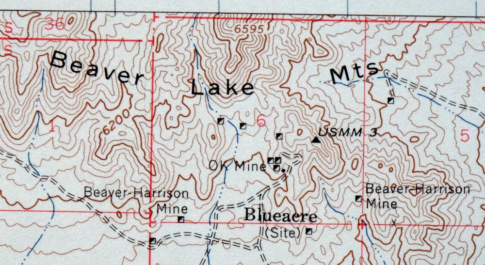
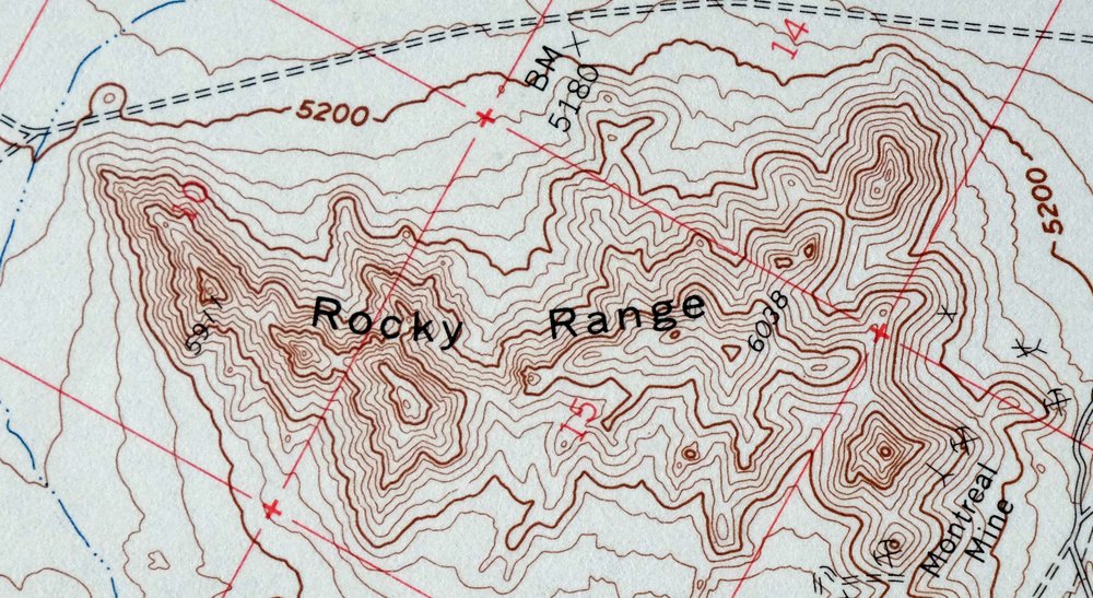
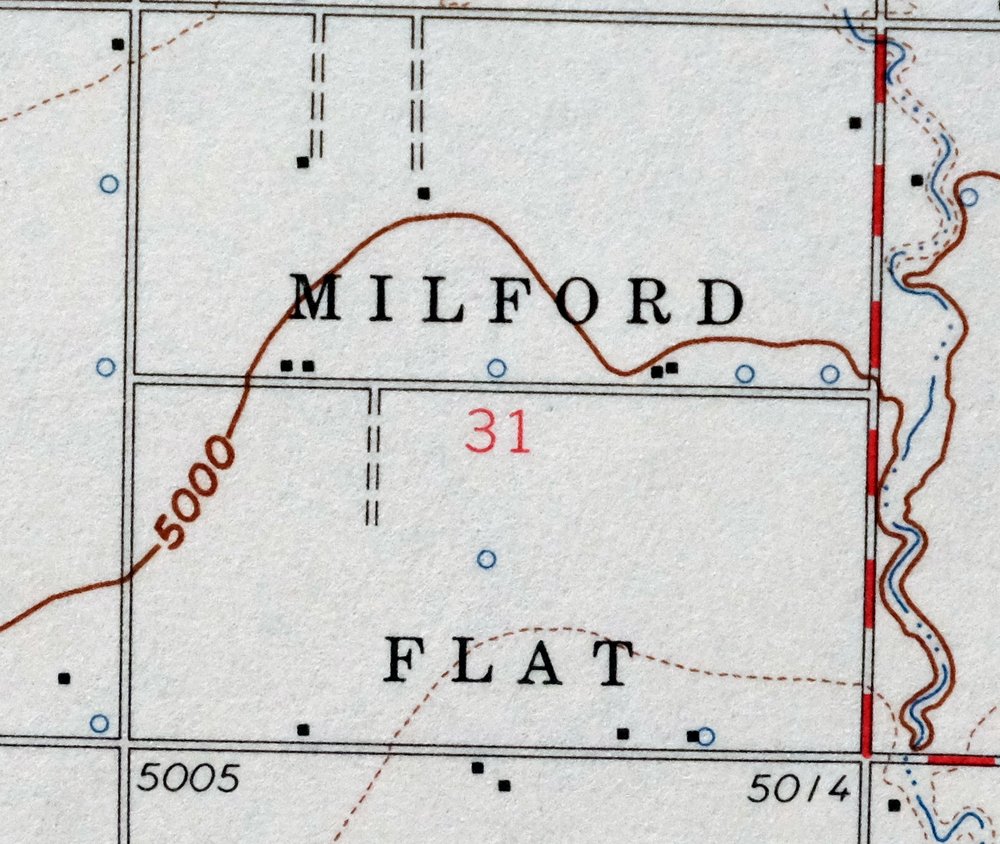
This is a USGS topographic map of the Milford quadrangle in Beaver County, Utah, a 1958 edition printed in 1960 at a scale of 1:62,500. The quad covers the town of Milford in west-central Utah, with the Star Range to the south, the Shauntie Hills, and the northern edge of the Escalante Desert spreading across the area about 50 miles north of Cedar City. Milford grew up as a railroad and smelter town serving the mining districts nearby, and this sheet captures that high-desert country in good detail. Printed on thick stock, never folded, and in excellent condition.
In stock
This vintage sheet is a 1958 edition of the Milford Utah USGS topographic map. It is an original 66-year-old 1960 United States Geological Survey print in excellent condition.
HOW THIS MAP CAN BE USED
In addition to making a fascinating conversation piece, this sheet would look great in a frame or on display, make a unique and prized gift for anyone interested in this area, be perfect as a reference for genealogy studies or general historical research, or fill that missing piece in your collection. Maps of this vintage are printed on durable stock and are well-suited for outdoor activities and recreation of all kinds, including hiking, backpacking, hunting, rafting and kayaking, backcountry skiing, geocaching, general exploration, treasure hunting, etc.
FEATURES SHOWN ON THE MAP
The Milford 15-minute map shows cities and towns, roads, railroads, utilities and energy infrastructure, rivers, creeks, elevation contour lines, public land survey lines, county, state, and other administrative boundaries as they existed at the time of the survey in 1951 through 1958. A reddish tint is used on this sheet to indicate urban areas where only landmark buildings are depicted. Outside of those areas, all known structures (houses, businesses, churches, schools, barns, cabins, etc) are shown.
A VALUABLE HISTORICAL RECORD
Maps from the 15-minute series for the continental United States are no longer produced or printed by the USGS and original prints are becoming increasingly difficult to find. They are a valuable historical record for an area, as they contain many placenames and features that have been dropped from more recent maps.
Nearby maps
-
Fillmore Utah Kanosh Meadow USGS 15-Min Topographic Map 1975
$40 Add to cart -
Marysvale Utah Piute Reservoir Junction USGS Topo Map 1947
$44 Add to cart -
Beaver Utah Dixie NF Fishlake NF USGS Topo Map 1921 Antique
$62 Add to cart -
1960 USGS Topo Map: New Harmony, Toquerville, Utah
$42 Add to cart -
Kanab Utah Fredonia Orderville USGS Topo Map 1960 Vintage
$37 Add to cart -
Colorado City Arizona Moccasin Kaibab USGS Topo Map 1975
$37 Add to cart -
1963 Fredonia Arizona USGS Topo Map: Kaibab (Original Print)
$38 Add to cart -
1973 Nephi Utah USGS Topo Map: Levan (San Pitch Mountains)
$42 Add to cart -
Notom Capitol Reef NP Utah USGS 15-Min Topo Map 1958 Vintage
$45 Add to cart -
Shinarump Arizona Kaibab USGS 15-Min Topo Map 1964 Vintage
$35 Add to cart -
House Rock Spring Arizona USGS 15-Min Topo Map 1972 Vintage
$40 Add to cart -
Mesquite Nevada Bunkerville USGS 15-Min Topographic Map 1978
$44 Add to cart -

Moroni Utah Fountain Green USGS 15-Min Topo Map 1968 Vintage
$39 Add to cart -
Nipple Butte Utah Wahweap WSA Big Water USGS Topo Map 1962
$36 Add to cart -

Castle Dale Utah Ferron Clawson USGS Topographic Map 1925
$47 Add to cart -
1968 USGS Topo Map: Castle Dale, Ferron, Utah (1923 Edition)
$44 Add to cart -
Heaton Knolls Arizona USGS 15-Min Topo Map 1963 Vintage
$36 Add to cart -
1971 Santaquin Utah USGS Topo Map: Mona (1951 Edition)
$42 Add to cart -

Paria Plateau Arizona Vermillion Cliffs USGS Topo Map 1978
$42 Add to cart -
Big Springs Arizona Kaibab Nail Canyon USGS Topo Map 1984
$40 Add to cart -

Lees Ferry Arizona Page Marble Canyon USGS Topo Map 1971
$53 Add to cart -

Jacob Lake Arizona Kaibab Plateau USGS Topo Map 1965 Vintage
$38 Add to cart -
1957 USGS Topo Map: Scofield, Clear Creek, Utah (Wattis)
$46 Add to cart -
Tuckup Canyon Arizona Grand Canyon USGS 15-Min Topo Map 1974
$35 Add to cart