MAP DETAILS | |
|---|---|
| TITLE | Overton |
| STATE | Nevada |
| LOCATION | Vicinity of Moapa Valley, 55 miles northeast of Las Vegas |
| SERIES | 15-minute |
| SURVEYED | 1953 and 1958 Aerial and Field Survey |
| EDITION | 1958 |
| PRINTED | 1968 |
| PRINT NOTES | Thick paper stock, includes woodland tint (green to indicate vegetated areas) |
| SCALE | 1:62500 |
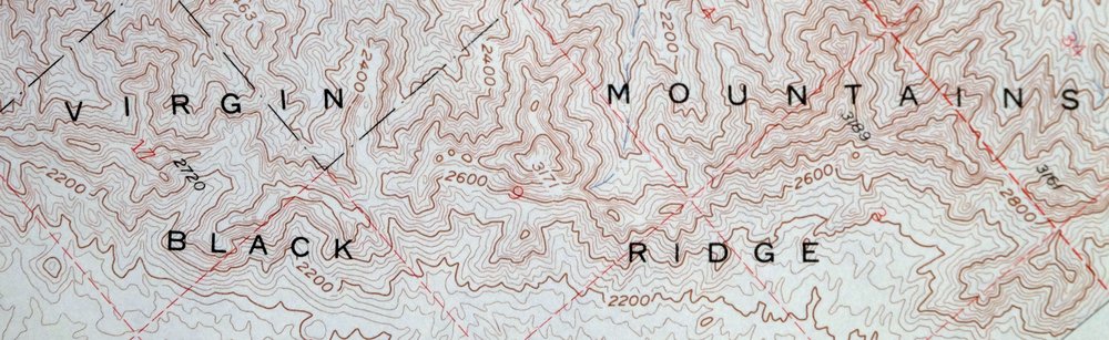
| CONTOUR INTERVAL | 40 feet |
| SHEET DIMENSIONS | 17 x 21 inches |
| MAP DIMENSIONS | 14 x 17 1/2 inches |
| COVERAGE AREA | 14 x 17 miles |
| SHEET CONDITION For maps of this vintage, effort is made to note all visible flaws, no matter how minor. | |
| OVERALL CONDITION | Very Good |
| SHEET NOTES | lightly handled, never folded |
| MAP AREA | no markings, no blemishes |
| COLLARS | no markings, no blemishes, no edge tears, inventory stamp on right side of bottom collar, minor handling wear in center of top collar |
| MAP COVERAGE Quadrangle extent overlaid on current basemap. | |
| PLACENAMES Depending on map series and survey date, all of the features listed below may not be shown on this map. This list contains features that currently exist or historically existed within the area covered by the map. The list can be used as a reference to determine if this map covers your area of interest. Placenames are listed alphabetically next to each feature type. | |
| NOTABLE PLACES | Lake Mead, Moapa Valley, Mormon Mesa, and Virgin Mountains |
| CITIES AND TOWNS (CURRENT) | Logandale and Overton |
| COUNTIES COVERED | Clark |
| FEDERAL LAND UNITS | Lake Mead National Recreation Area |
| RIVERS AND STREAMS | Halfway Wash, Kingman Wash, Muddy River, Overton Wash, and Virgin River |
| WATER BODIES | Bowman Reservoir and Honeybee Reservoir |
| Locations: Angel Ranch, Brandlewood Gun Club, Capalapa Ranch, Lewis Ranch, Mead Lake, Mesa House, Virgin, and Wells. Administrative Boundaries: Logan Township. Mountains, Peaks, and Summits: Mormon Mesa and Overton Mesa. Valleys and Canyons: Moapa Valley and Virgin Valley. Parks: Lake Mead National Recreation Area. Drainages: Halfway Wash, Kaolin Wash, Logan Wash, Magnesite Wash, Overton Wash, and Wieber Wash. Churches: Logandale Church. Hospitals: Southern Nevada Memorial Hospital. Buildings: Lost City Museum and Overton Museum. Dams: Bowman Dam, Honeybee Dam, Mill Number 1-Pond A Dam, Mill Number 1-Pond B Dam, Mill Number 2-Pond A Dam, Mill Number 2-Pond B Dam, Mill Number 2-Pond C Dam, Mill Number 2-Pond D Dam, and Mill Number 2-Pond E Dam. Crossings: Carp Elgin Interchange. Airports: Overton Municipal Airport. Schools: Grant Bowler Elementary School, Moapa Valley Junior/Senior High School, and Ute Perkins Elementary School. Ridges: Black Ridge. Reservoirs and Tanks: Bowman Reservoir and Honeybee Reservoir. Flats: Long Bottom. Springs: Swamp Spring. Slopes: Huntsman Hill. | |
| SHIPPING AND RETURNS | |
 This map sheet will be carefully rolled in a sturdy tube and shipped via the US Postal Service. If you find that the sheet you receive is not as described in the listing, you may ship it back to us for a refund of the purchase price. | |
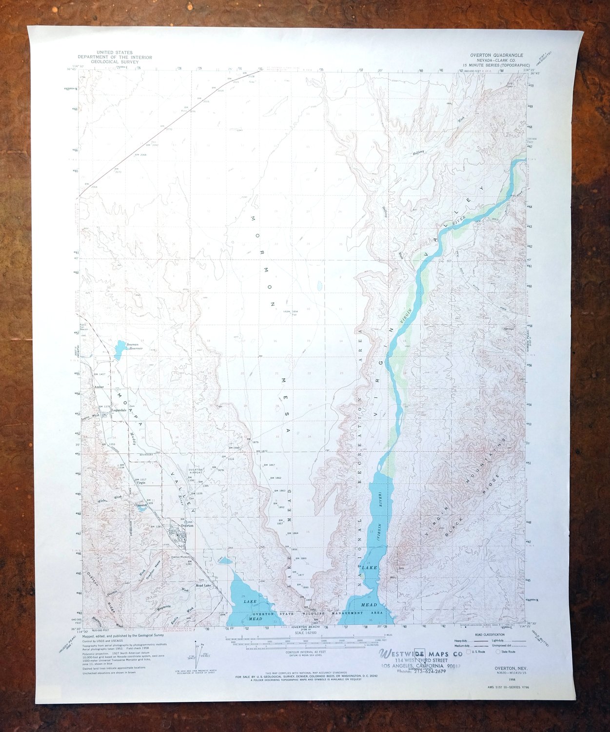
1968 Overton Nevada USGS Topo Map: Lake Mead (Moapa Valley)
$40
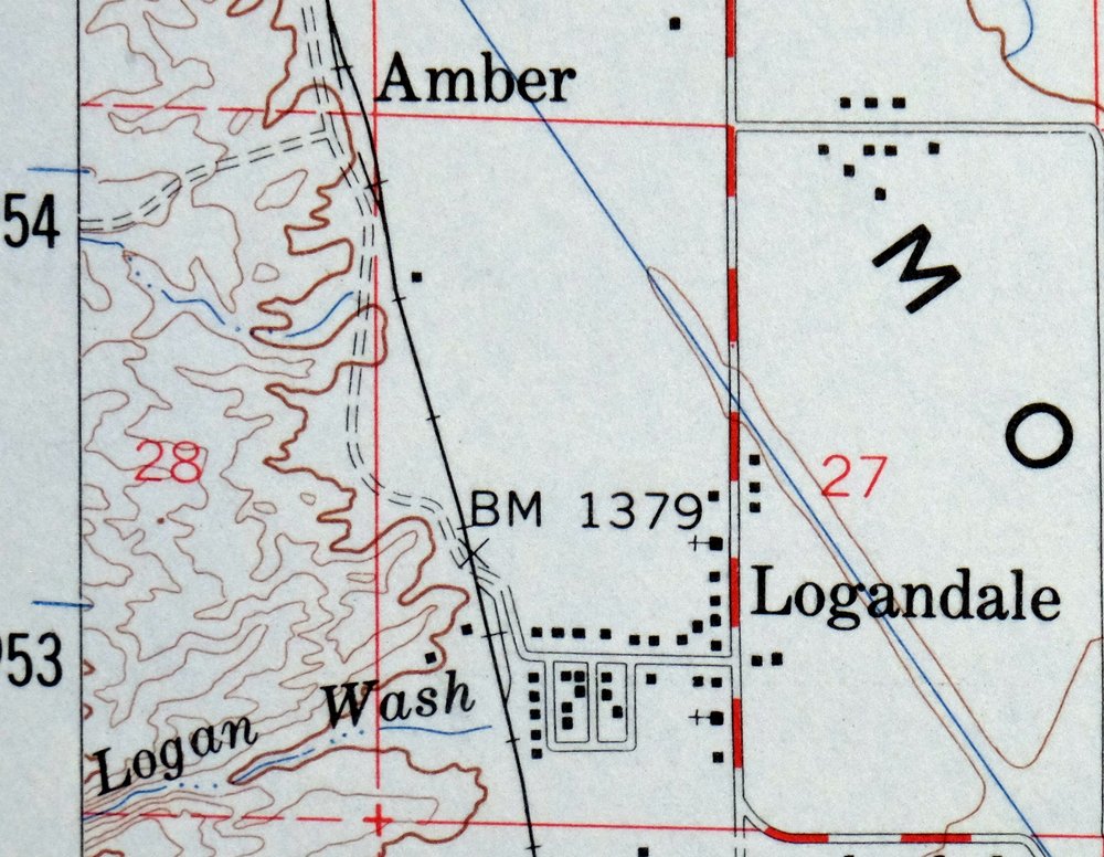
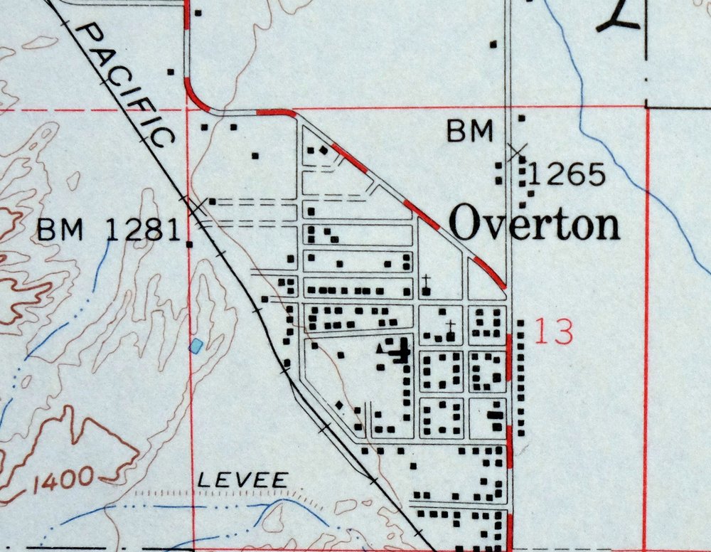
This 15-minute topographic sheet maps the Overton quadrangle in Clark County, Nevada, a 1958 edition printed in 1968 at a scale of 1:62,500. It covers the farming towns of Overton and Logandale in the Moapa Valley, with Mormon Mesa rising to the east and the Muddy River running through the lowlands toward Lake Mead. The valley has long been one of southern Nevada’s agricultural pockets, and the green woodland tint here traces the vegetated bottomlands against the surrounding desert. Never folded, on thick stock, it would frame well.
In stock
This vintage sheet is a 1958 edition of the Overton Nevada USGS topographic map. It is an original 58-year-old 1968 United States Geological Survey print in very good condition.
HOW THIS MAP CAN BE USED
In addition to making a fascinating conversation piece, this sheet would look great in a frame or on display, make a unique and prized gift for anyone interested in this area, be perfect as a reference for genealogy studies or general historical research, or fill that missing piece in your collection. Maps of this vintage are printed on durable stock and are well-suited for outdoor activities and recreation of all kinds, including hiking, backpacking, hunting, rafting and kayaking, backcountry skiing, geocaching, general exploration, treasure hunting, etc.
FEATURES SHOWN ON THE MAP
The Overton 15-minute map shows cities and towns, roads, railroads, utilities and energy infrastructure, rivers, creeks, elevation contour lines, public land survey lines, county, state, and other administrative boundaries as they existed at the time of the survey in 1953 and 1958. All known structures (houses, businesses, churches, schools, barns, cabins, etc) are also shown.
A VALUABLE HISTORICAL RECORD
Maps from the 15-minute series for the continental United States are no longer produced or printed by the USGS and original prints are becoming increasingly difficult to find. They are a valuable historical record for an area, as they contain many placenames and features that have been dropped from more recent maps.
Nearby maps
-
Mesquite Nevada Bunkerville USGS 15-Min Topographic Map 1978
$46 Add to cart -

Virgin Basin Arizona Lake Mead USGS Topo Map 1972 Vintage
$46 Add to cart -

Black Canyon Arizona Lake Mead NRA USGS 15-Min Topo Map 1974
$32 Add to cart -
Garnet Mountain Arizona Meadview USGS Topo Map 1966 Vintage
$30 Add to cart -
White Hills Arizona Dolan Springs USGS Topo Map 1980 Vintage
$36 Add to cart -
1960 USGS Topo Map: New Harmony, Toquerville, Utah
$42 Add to cart -
Camp Mohave Arizona El Dorado WSA Kingman USGS Topo Map 1920
$65 Add to cart -
Heaton Knolls Arizona USGS 15-Min Topo Map 1963 Vintage
$36 Add to cart -
Colorado City Arizona Moccasin Kaibab USGS Topo Map 1975
$37 Add to cart -
Tuckup Canyon Arizona Grand Canyon USGS 15-Min Topo Map 1974
$35 Add to cart -

National Canyon Arizona Grand Canyon USGS Topo Map 1964
$37 Add to cart -

Diamond Creek Arizona Grand Canyon Nelson USGS Topo Map 1927
$130 Add to cart -
1963 Fredonia Arizona USGS Topo Map: Kaibab (Original Print)
$38 Add to cart -
Kanab Point Arizona USGS 15-Min Topographic Map 1972 Vintage
$46 Add to cart -
Kingman NW Arizona Golden Valley USGS Topo Map 1968 Vintage
$25 Add to cart -
Kingman Arizona Hualapai Mountains Harris USGS Topo Map 1980
$28 Add to cart -
Kanab Utah Fredonia Orderville USGS Topo Map 1960 Vintage
$37 Add to cart -
Supai Arizona USGS 15-Min Topographic Map 1970 Vintage
$41 Add to cart -
Kingman SE Arizona Griffith USGS Topographic Map 1968
$32 Add to cart -
Big Springs Arizona Kaibab Nail Canyon USGS Topo Map 1984
$40 Add to cart -
Shinarump Arizona Kaibab USGS 15-Min Topo Map 1964 Vintage
$35 Add to cart -
Powell Plateau Arizona USGS 15-Min Topo Map 1964 Vintage
$37 Add to cart -

Needles Arizona Mohave Valley USGS Topo Map 1968 Vintage
$38 Add to cart -
Yucca Arizona Black Mountains USGS Topo Map 1947 Vintage
$39 Add to cart