MAP DETAILS | |
|---|---|
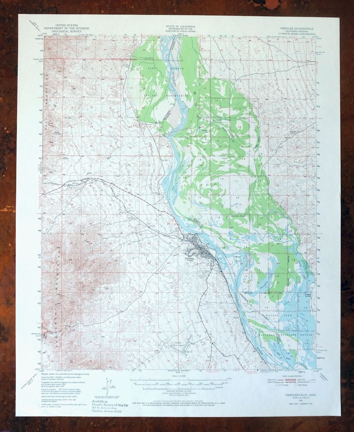
| TITLE | Needles |
| STATE | Arizona, California |
| SURVEYED | 1947 and 1950 Aerial and Field Survey |
| PRINT NOTES | Thick paper stock, includes woodland tint (green to indicate vegetated areas) |
| SCALE | 1:62500 |
| CONTOUR INTERVAL | 40 feet |
| SHEET DIMENSIONS | 16 7/8 x 21 inches |
| MAP DIMENSIONS | 14 3/8 x 17 1/2 inches |
| COVERAGE AREA | 14 x 17 miles |
| SOURCE | From the vintage map collection of Art Christiansen, Tempe, Arizona |
| SHEET CONDITION For maps of this vintage, effort is made to note all visible flaws, no matter how minor. | |
| SHEET NOTES | very lightly handled, never folded, smooth and flat |
| MAP AREA | flawless map area |
| COLLARS | no wear or tears, no markings, no blemishes, small inventory stamp on bottom collar |
| MAP COVERAGE Quadrangle extent overlaid on current basemap. | |
| PLACENAMES Depending on map series and survey date, all of the features listed below may not be shown on this map. This list contains features that currently exist or historically existed within the area covered by the map. The list can be used as a reference to determine if this map covers your area of interest. Placenames are listed alphabetically next to each feature type. | |
| NOTABLE PLACES | Willow Valley, Mohave Valley, and Mesquite Creek |
| CITIES AND TOWNS (CURRENT) | Arizona Village, Mojave Ranch Estates, and Needles |
| COUNTIES COVERED | Mohave and San Bernardino |
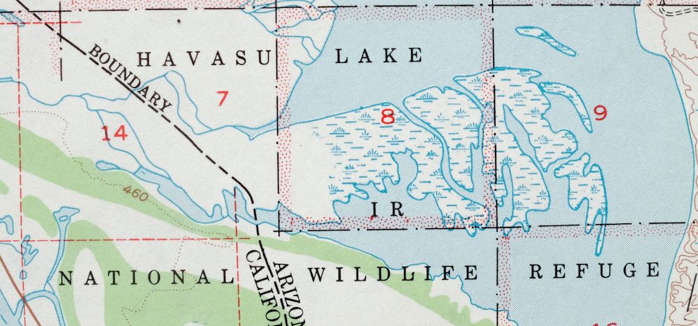
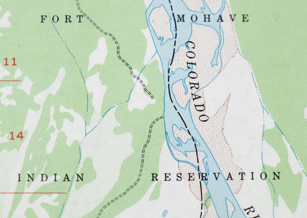
| FEDERAL LAND UNITS | Dead Mountains Wilderness, Fort Mojave Indian Reservation, and Havasu National Wildlife Refuge |
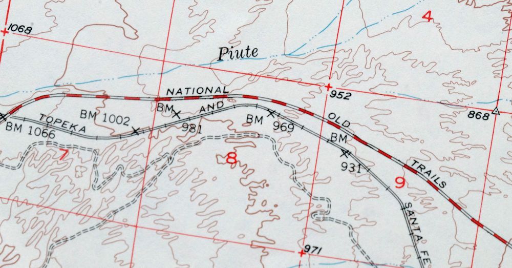
| RIVERS AND STREAMS | Colorado River, Fivemile Wash, Piute Wash, and Topock Bay |
| WATER BODIES | Beal Lake, Cimarron Lake, Threemile Lake, and Topock Marsh |
| Arizona Locations: Milltown and Whipples Crossing. Areas: Ice House Bend. Reserves: Fort Mohave Indian Reservation. Drainages: Fivemile Wash. Lakes and Ponds: Beal Lake, Goose Lake, Threemile Lake, and Willow Lake. Canals: Beal Ditch. Bayous and Sloughs: Japanese Slough. Bends: The Glory Hole. Beaches: Squaw Beach. Airports: Eagle Airpark. Swamps: Topock Marsh. Schools: Mohave Elementary School. Reservoirs and Tanks: Cimarron Lake. Flats: Spears Lake. | |
| California Locations: Needles Municipal Golf Course, Needles Town Center Shopping Center, Ross Ranch, and Soto Ranch. Valleys and Canyons: Piute Valley and Shadow Canyon. Parks: Duke Watkins Park, Ed Parry Park, Jack Smith Memorial Park, Manny Morris Park, Needles Marina Park, Needles Municipal Aquatics Center, Needles Recreation Area, Nikki Bunch-Franz Flowers Park, and Santa Fe Park. Drainages: Hacienda Wash and Piute Wash. Churches: Assembly of God Church, Christian Church of Needles, Church of Christ, Faith Chapel Church of God, First Southern Baptist Church, Grace Lutheran Church, Saint Anns Catholic Church, Seventh Day Adventist Church, and The Church of Jesus Christ of Latter Day Saints. Hospitals: Needles-Desert Communities Hospital. Buildings: Fort Mojave Tribal Center and Needles Branch San Bernardino County Library. Gaps: Eagle Pass. Airports: Needles Airport and Walters Ranch Landing Field. Swamps: Topock Marsh. Schools: D Street Elemetary School, Grace Henderson Elementary School, Needles High School, Needles Middle School, Seventh Day Adventist School, and Vista Colorado Elementary School. Towers: KSFE-AM (Needles). Springs: Red Spring. | |
| SHIPPING AND RETURNS | |
 Ships carefully rolled in a sturdy 2" x 18" mailing tube. Shipping and return details are in our terms. | |
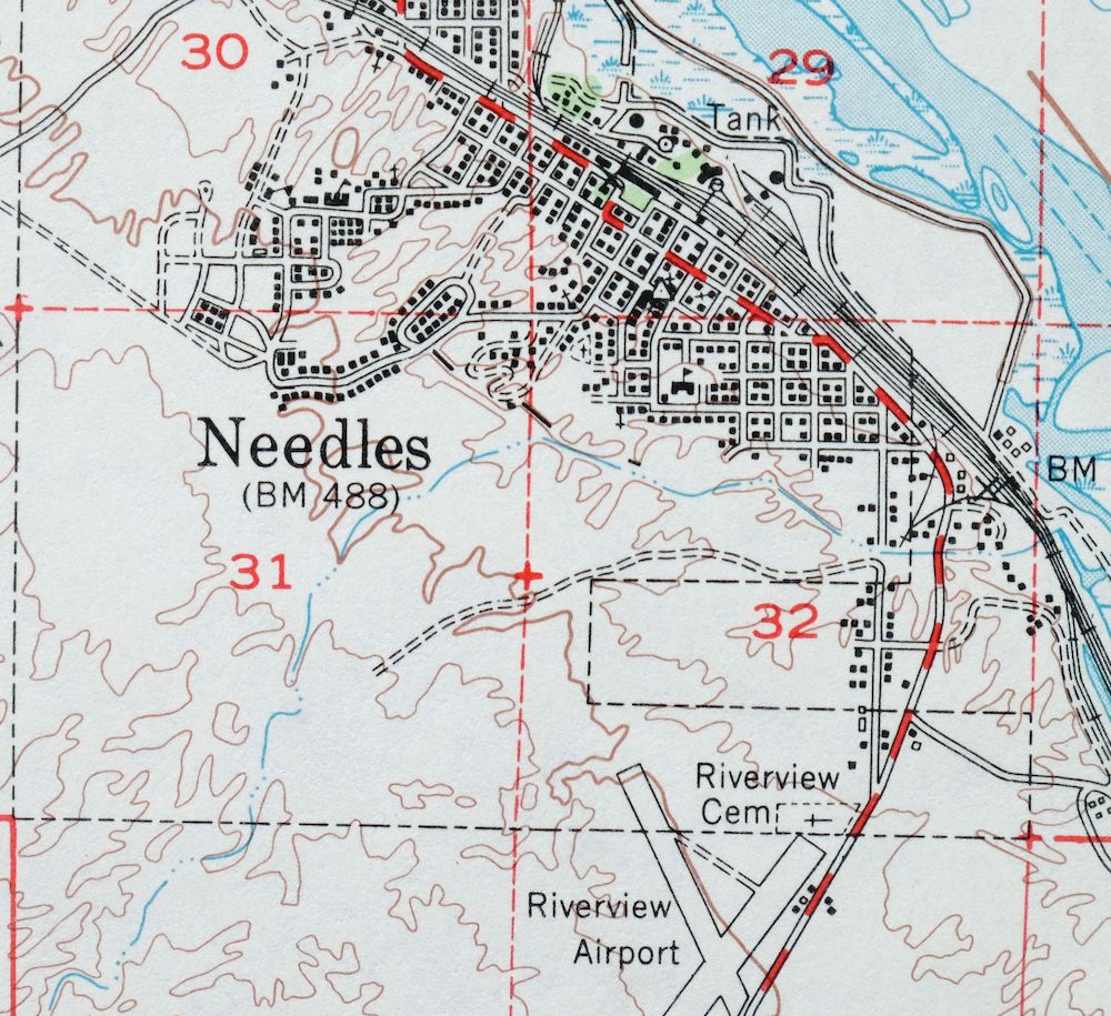
1950 USGS Topo Map: Needles, Arizona/California (1968 Print)
$33
- Vicinity of Mohave Valley.
- 15-minute series, 1950 edition, printed in 1968.
- Excellent condition, never folded.
In stock
This vintage sheet is a 1950 edition of the Needles Arizona USGS topographic map. It is an original 58-year-old 1968 United States Geological Survey print in excellent condition.
HOW THIS MAP CAN BE USED
In addition to making a fascinating conversation piece, this sheet would look great in a frame or on display, make a unique and prized gift for anyone interested in this area, be perfect as a reference for genealogy studies or general historical research, or fill that missing piece in your collection. Maps of this vintage are printed on durable stock and are well-suited for outdoor activities and recreation of all kinds, including hiking, backpacking, hunting, rafting and kayaking, backcountry skiing, geocaching, general exploration, treasure hunting, etc.
FEATURES SHOWN ON THE MAP
The Needles 15-minute map shows cities and towns, roads, railroads, utilities and energy infrastructure, rivers, creeks, elevation contour lines, public land survey lines, county, state, and other administrative boundaries as they existed at the time of the survey in 1947 and 1950. All known structures (houses, businesses, churches, schools, barns, cabins, etc) are also shown.
A VALUABLE HISTORICAL RECORD
Maps from the 15-minute series for the continental United States are no longer produced or printed by the USGS and original prints are becoming increasingly difficult to find. They are a valuable historical record for an area, as they contain many placenames and features that have been dropped from more recent maps.
Nearby maps
-

1950 USGS Topo Map: Topock, Arizona/California (1981 Print)
$41 Add to cart -
Yucca, Arizona 1929 USGS Topo Map (1947 Print)
$34 Add to cart -
1929 USGS Topo Map: Buck Mountains, Arizona (1947 Print)
$23 Add to cart -
White Hills, Arizona 1960 USGS Topo Map (1980 Print)
$35 Add to cart -
1949 USGS Topo Map: Parker, California/Arizona
$43 Add to cart -
1966 USGS Topo Map: Castaneda Hills, Arizona
$25 Add to cart -
Kingman NW, Arizona 1967 USGS Topo Map: Golden Valley
$23 Add to cart -
Kingman SE, Arizona 1967 USGS Topo Map: Hualapai Mountains
$31 Add to cart -
1967 USGS Topo Map: Kingman, Hualapai Mountains, Arizona
$27 Add to cart -
1892 USGS Topo Map: Camp Mohave, AZ/CA (1920 Print)
$63 Add to cart -

Black Canyon, Arizona/Nevada 1959 USGS Topo Map
$27 Add to cart -
Garnet Mountain, Meadview, Arizona 1960 USGS Topo Map
$25 Add to cart -
Linskey, Cactus Plain, Arizona 1930 USGS Topo Map
$22 Add to cart -

Diamond Creek, Arizona 1892 USGS Topo Map (1927 Print)
$87 Add to cart -
Ives Peak, Arizona 1966 USGS Topo Map: Alamo Reservoir
$29 Add to cart -
Coxcomb Mountains, California 1963 USGS Topo Map
$35 Add to cart -
Bagdad, Arizona 1945 USGS Topo Map (1964 Print)
$33 Add to cart -

Virgin Basin, Arizona/Nevada 1953 USGS Topo Map (1972 Print)
$41 Add to cart -

1962 USGS Topo Map: Quartzsite, La Paz Valley, Arizona
$35 Add to cart -
1962 USGS Topo Map: Vicksburg, Kofa Wilderness, Arizona
$27 Add to cart -
1949 USGS Topo Map: Camp Wood, Juniper Mountains, Arizona
$27 Add to cart -

Gladden, Harquahala Mountains, Arizona 1961 USGS Topo Map
$25 Add to cart -
Sheridan Mountain, Arizona 1947 USGS Topo Map (1978 Print)
$30 Add to cart -
Hope, McMullen Valley, Arizona 1961 USGS Topo Map
$34 Add to cart
