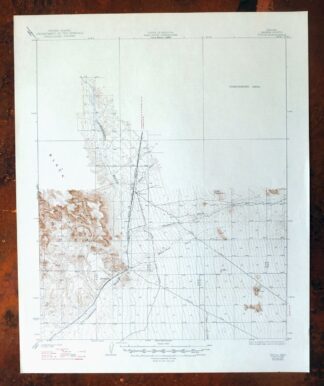
MAP DETAILS | |
|---|---|
| TITLE | Yucca |
| STATE | Arizona |
| SURVEYED | 1927 Field Survey |
| GEOGRAPHER | J.L.Lewis |
| PRINT NOTES | Thick paper stock |
| SCALE | 1:62500 |
| CONTOUR INTERVAL | 25 feet |
| SHEET DIMENSIONS | 17 x 20 7/8 inches |
| MAP DIMENSIONS | 14 3/8 x 17 1/2 inches |
| COVERAGE AREA | 14 x 17 miles |
| SOURCE | From the vintage map collection of Art Christiansen, Tempe, Arizona |
| SHEET CONDITION For maps of this vintage, effort is made to note all visible flaws, no matter how minor. | |
| SHEET NOTES | very lightly handled, never folded |
| MAP AREA | flawless map area |
| COLLARS | no wear or tears, no markings, no blemishes |
| MAP COVERAGE Quadrangle extent overlaid on current basemap. | |
| BACKSIDE LEGEND | |
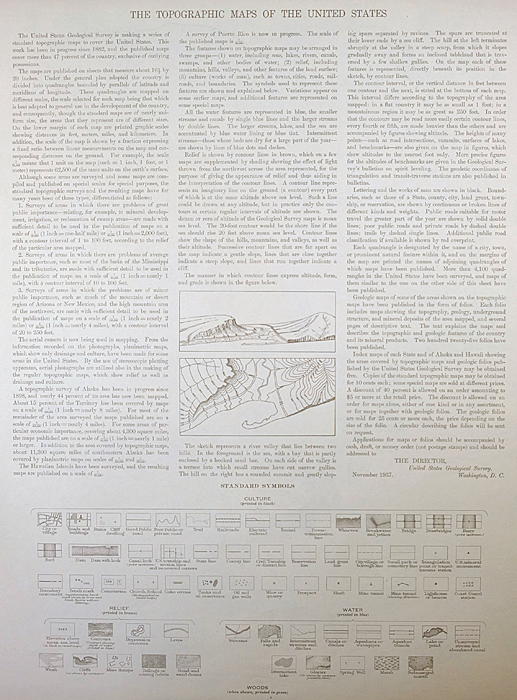 A map summary is printed on the back side of the Yucca sheet similar to the one shown in the picture. It outlines the history, purpose, and status of the USGS mapping program at the time of the printing in 1947. It also provides instructions on how to read contour lines and a description of how they are used to depict the terrain. At the bottom of the page is a legend showing all of the symbols used to represent the cultural, relief, and water features found on the map. | |
| PLACENAMES Depending on map series and survey date, all of the features listed below may not be shown on this map. This list contains features that currently exist or historically existed within the area covered by the map. The list can be used as a reference to determine if this map covers your area of interest. Placenames are listed alphabetically next to each feature type. | |
| NOTABLE PLACES | Black Mountains and Sacramento Wash |
| CITIES AND TOWNS (CURRENT) | Yucca |
| COUNTIES COVERED | Mohave |
| FEDERAL LAND UNITS | Wabayuma Peak Wilderness and Warm Springs Wilderness |
| RIVERS AND STREAMS | Bar I-L Wash, Black Rock Wash, Flattop Wash, Happy Jack Wash, Illavar Wash, Mackenzie Wash, Rock Creek, Walnut Creek, and Willow Creek |
| Areas: Yucca Ford Automotive Proving Grounds. Mountains, Peaks, and Summits: Cactus Mountain and Flattop. Valleys and Canyons: Sacramento Valley. Drainages: Bar I-L Wash, Black Rock Wash, Flattop Wash, Happy Jack Wash, Illavar Wash, Mackenzie Wash, Rock Creek, Walnut Creek, and Willow Creek. Buildings: Yucca Railroad Station. Crossings: East Yucca Interchange, Gem Acres Interchange, Happy Jack Underpass, Old Trails Highway Interchange, and West Yucca Interchange. Airports: Ford Motor Company Automotive Proving Ground Airstrip. Schools: Yucca Elementary School Number Three. Reservoirs and Tanks: Flat Top Tank, Number Five Trough, Number Four Trough, Number Three Trough, and Number Two Trough. Towers: Yucca Ford Proving Grounds Control Tower. Springs: Caliche Spring, Corral Spring, Deadman Spring, End Spring, Rock Creek Spring, and Santa Fe Spring. | |
| SHIPPING AND RETURNS | |
 Ships carefully rolled in a sturdy 2" x 18" mailing tube. Shipping and return details are in our terms. | |
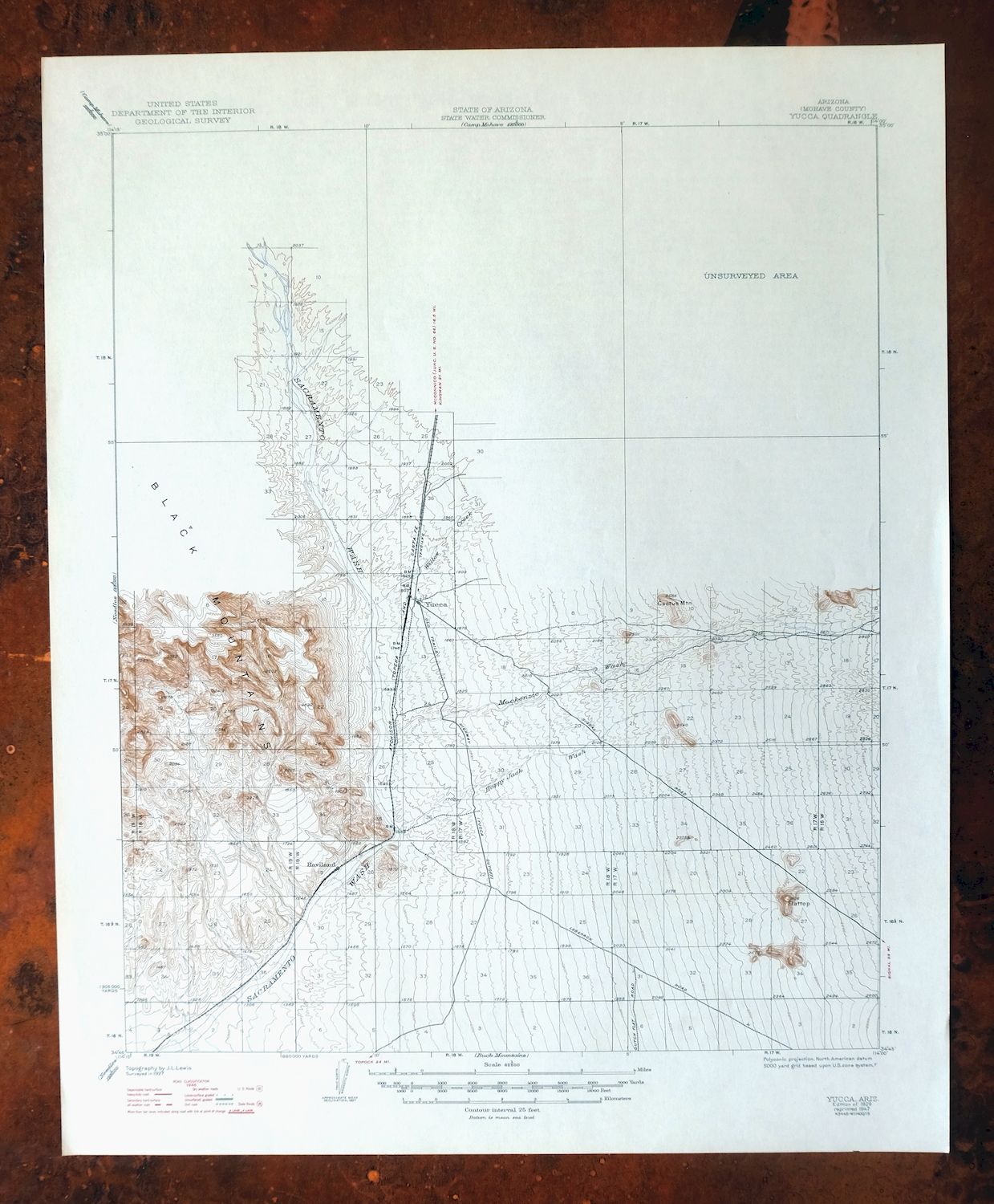
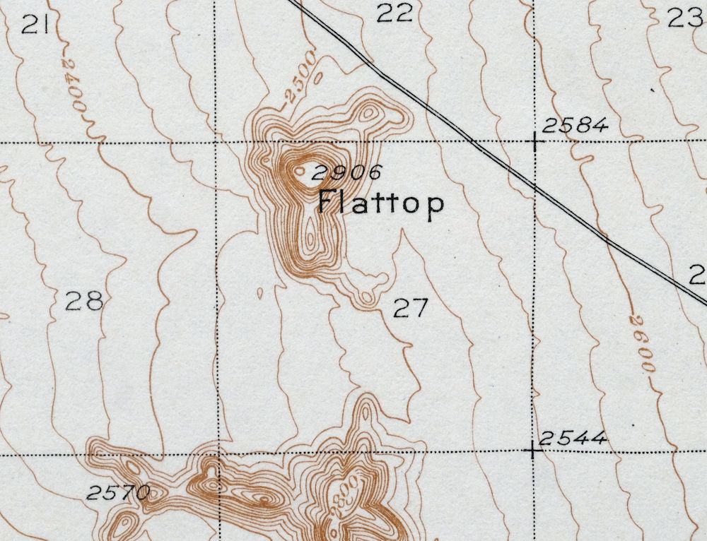
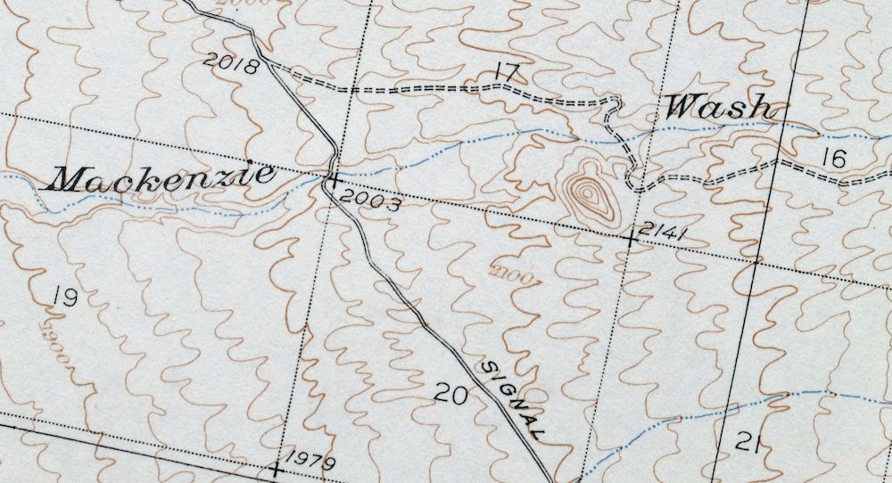
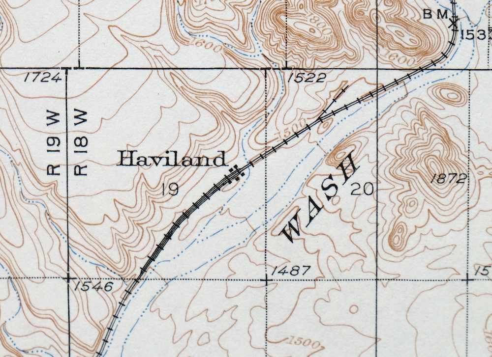
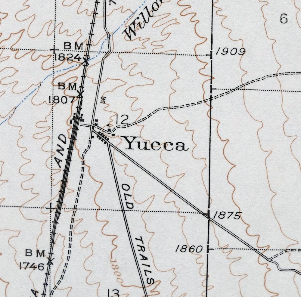
Yucca, Arizona 1929 USGS Topo Map (1947 Print)
$34
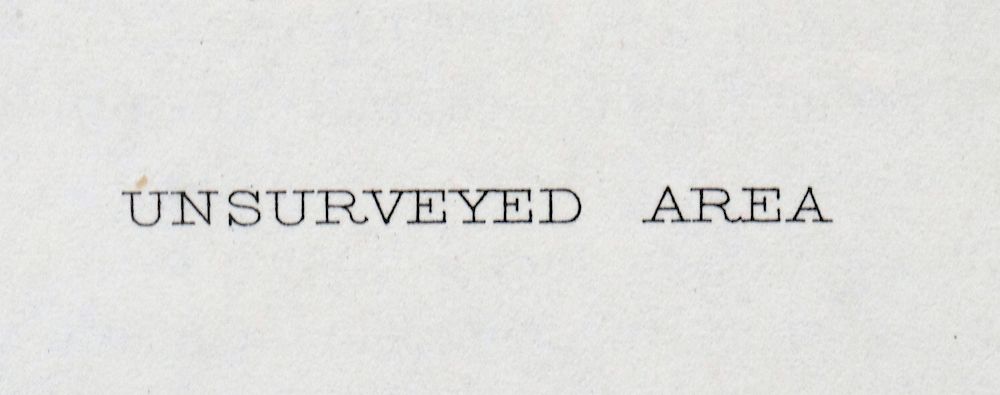
A fascinating historical snapshot of the Yucca area, surveyed before the Chrysler Proving Grounds and Interstate 40, showing historic travel routes, rail lines, and placenames; the northern half of this quadrangle is not surveyed.
- 20 miles south of Kingman.
- 15-minute series, 1929 edition, printed in 1947.
- Excellent condition, never folded.
In stock
This vintage sheet is a 1929 edition of the Yucca Arizona USGS topographic map. It is an original 79-year-old 1947 United States Geological Survey print in excellent condition.
HOW THIS MAP CAN BE USED
In addition to making a fascinating conversation piece, this sheet would look great in a frame or on display, make a unique and prized gift for anyone interested in this area, be perfect as a reference for genealogy studies or general historical research, or fill that missing piece in your collection.
FEATURES SHOWN ON THE MAP
The Yucca 15-minute map shows cities and towns, roads, railroads, rivers, creeks, elevation contour lines, public land survey lines, county, state, and other administrative boundaries as they existed at the time of the survey in 1927. All known structures (houses, businesses, churches, schools, barns, cabins, etc) are also shown, with exceptions in some urban areas, where only landmark buildings may be shown.
A VALUABLE HISTORICAL RECORD
Maps from the 15-minute series for the continental United States are no longer produced or printed by the USGS and original prints are becoming increasingly difficult to find. They are a valuable historical record for an area, as they contain many placenames and features that have been dropped from more recent maps.
Nearby maps
-
1929 USGS Topo Map: Buck Mountains, Arizona (1947 Print)
$23 Add to cart -

1950 USGS Topo Map: Topock, Arizona/California (1981 Print)
$41 Add to cart -

1950 USGS Topo Map: Needles, Arizona/California (1968 Print)
$33 Add to cart -
1966 USGS Topo Map: Castaneda Hills, Arizona
$25 Add to cart -
White Hills, Arizona 1960 USGS Topo Map (1980 Print)
$35 Add to cart -
1949 USGS Topo Map: Parker, California/Arizona
$43 Add to cart -
Ives Peak, Arizona 1966 USGS Topo Map: Alamo Reservoir
$29 Add to cart -
Bagdad, Arizona 1945 USGS Topo Map (1964 Print)
$33 Add to cart -
Kingman SE, Arizona 1967 USGS Topo Map: Hualapai Mountains
$31 Add to cart -
1967 USGS Topo Map: Kingman, Hualapai Mountains, Arizona
$27 Add to cart -
Kingman NW, Arizona 1967 USGS Topo Map: Golden Valley
$23 Add to cart -
1892 USGS Topo Map: Camp Mohave, AZ/CA (1920 Print)
$63 Add to cart -

Diamond Creek, Arizona 1892 USGS Topo Map (1927 Print)
$87 Add to cart -
Garnet Mountain, Meadview, Arizona 1960 USGS Topo Map
$25 Add to cart -
Linskey, Cactus Plain, Arizona 1930 USGS Topo Map
$22 Add to cart -
1949 USGS Topo Map: Camp Wood, Juniper Mountains, Arizona
$27 Add to cart -
Sheridan Mountain, Arizona 1947 USGS Topo Map (1978 Print)
$30 Add to cart -

Black Canyon, Arizona/Nevada 1959 USGS Topo Map
$27 Add to cart -

Gladden, Harquahala Mountains, Arizona 1961 USGS Topo Map
$25 Add to cart -

Simmons, Arizona 1947 USGS Topo Map: Chino Valley
$41 Add to cart -
Simmons, Arizona 1950 USGS Topo Map: Chino Valley
$22 Add to cart -

1962 USGS Topo Map: Quartzsite, La Paz Valley, Arizona
$35 Add to cart -
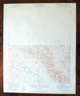
Picacho Butte, Chino Valley, Arizona 1950 USGS Topo Map
$20 Add to cart -

Virgin Basin, Arizona/Nevada 1953 USGS Topo Map (1972 Print)
$41 Add to cart