MAP DETAILS | |
|---|---|
| TITLE | Rouses Point |
| STATE | New York, Vermont |
| LOCATION | 30 miles north of Burlington, VT |
| SERIES | 15-minute |
| SURVEYED | 1893 Field Survey |
| GEOGRAPHER | Henry Gannett |
| ENGRAVED | 1894 |
| EDITION | 1907 |
| PRINTED | 1913 |
| SCALE | 1:62500 |
| CONTOUR INTERVAL | 20 feet |
| SHEET DIMENSIONS | 16 1/2 x 20 inches |
| MAP DIMENSIONS | 12 3/8 x 17 1/2 inches |
| COVERAGE AREA | 12 x 17 miles |
| SOURCE | From an uncommonly well-preserved collection |
| MAP NOTES | A fascinating historical snapshot surveyed before the modern highway system, showing historic overland travel routes, rail lines, and many early placenames. |
| SHEET CONDITION For maps of this vintage, effort is made to note all visible flaws, no matter how minor. | |
| OVERALL CONDITION | Very Good |
| SHEET NOTES | very lightly handled, never folded, smooth and flat |
| MAP AREA | no wear, no markings, minor blemish at south-central edge of map area |
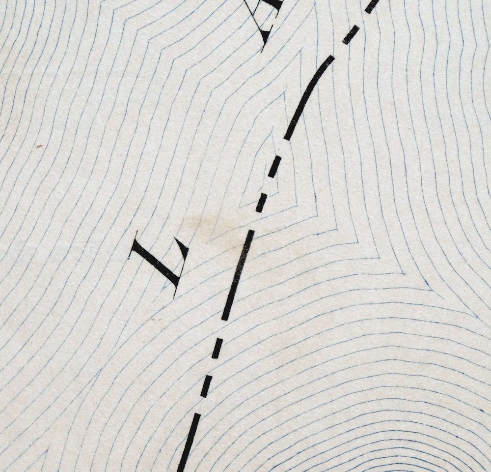
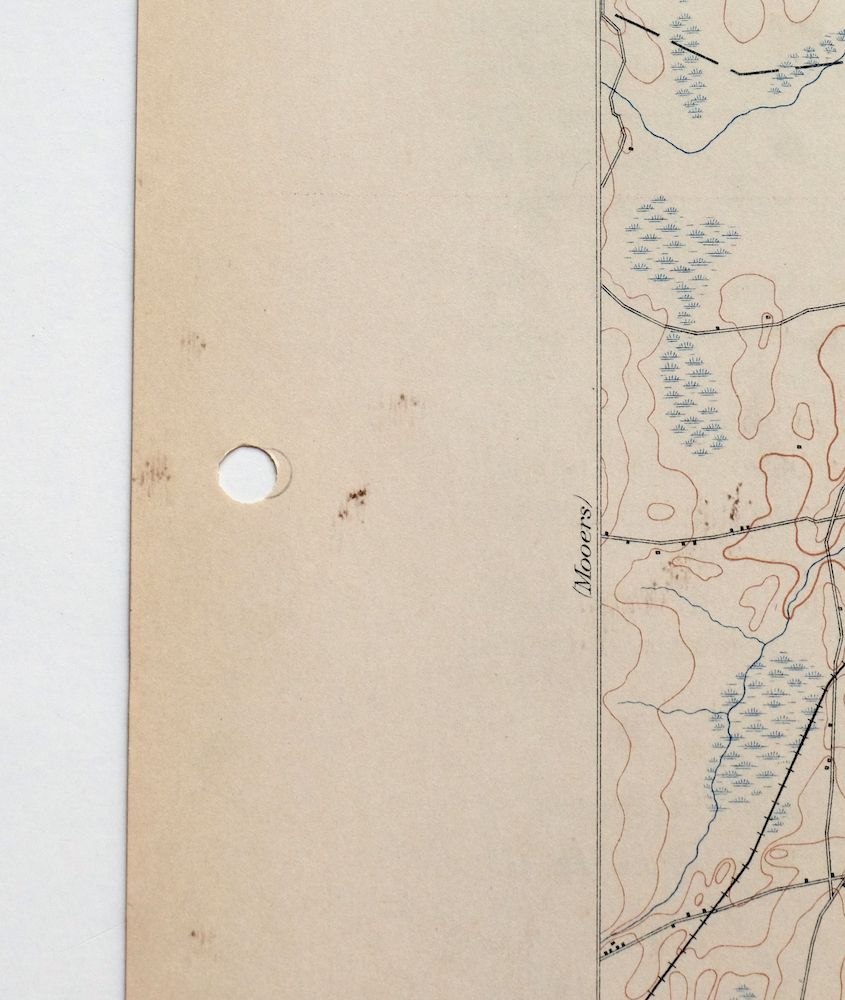
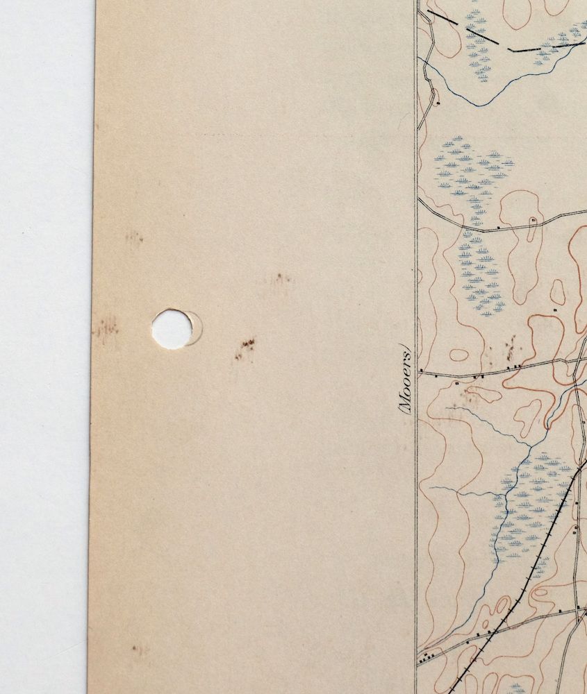
| COLLARS | very minor wear or tears, no markings, hole punches along left collar, scattered minor blemishes in collar |
  | |
| MAP COVERAGE Quadrangle extent overlaid on current basemap. | |
| BACKSIDE LEGEND | |
 A map summary is printed on the back side of the Rouses Point sheet similar to the one shown in the picture. It outlines the history, purpose, and status of the USGS mapping program at the time of the printing in 1913. It also provides instructions on how to read contour lines and a description of how they are used to depict the terrain. At the bottom of the page is a legend showing all of the symbols used to represent the cultural, relief, and water features found on the map. | |
| PLACENAMES Depending on map series and survey date, all of the features listed below may not be shown on this map. This list contains features that currently exist or historically existed within the area covered by the map. The list can be used as a reference to determine if this map covers your area of interest. Placenames are listed alphabetically next to each feature type. | |
| CITIES AND TOWNS (CURRENT) | Alburg, Champlain, Chazy, North Hero, and Rouses Point |
| COUNTIES COVERED | Clinton, Franklin, and Grand Isle |
| RIVERS AND STREAMS | Beaver Creek, Corbeau Creek, Dead Creek, Great Chazy River, Guay Creek, Little Chazy River, Ray Brook, Riley Brook, and Sucker Brook |
| WATER BODIES | Lake Alice, Lake Champlain, The Marsh, and The Vly |
| New York Locations: Barcombs Marina, Gaines Marina, Lighthouse Point Mariana, Mooney Bay Marina, North Country Golf Club, Point Au Roche Light, Saint Armand Beach, and Sportsmans Pier. Administrative Boundaries: Town of Champlain and Town of Chazy. Mountains, Peaks, and Summits: Stratton Hill. Parks: King Bay State Wetland Game Management Area and New York State Game Management Area. Drainages: Beaver Creek, Boyington Brook, Corbeau Creek, Great Chazy River, Guay Creek, Little Chazy River, Riley Brook, and Tracy Brook. Capes: Catfish Point, Point Au Fer, Long Point, Middle Point, Minnetoska Point, Monty Point, North Point, Point Au Roche, Rocky Point, Savage Point, Scales Point, Short Point, Stony Point, Trembleau Point, and Wool Point. Churches: Saint Josephs Church. Lakes and Ponds: Lake Alice. Crossings: Interchange 40, Interchange 41, and Interchange 42. Channels: Point au Fer Channel. Bridges: Rouses Point Bridge. Bays: Catfish Bay, Chellis Bay, Conner Bay, Deep Bay, Dunn Bay, King Bay, Middle Bay, Monty Bay, Mooney Bay, Treadwell Bay, and Trombley Bay. Basins: Chazy Boat Basin. Bars: Ferryall Reef, Point au Fer Reef, La Roche Reef, and Thompson Reef. Airports: Rouses Point Seaplane Base. Schools: Champlain Central High School and William H Miner Agricultural Research Institute. Towers: WCHP-AM (Champlain). | |
| Vermont Locations: Anchor Island Marina, Alburg Country Club, Camp Abnaki, Carry Bay Campground, Goose Point Campground, Ingalls 4-H Camp, Isle La Motte Lighthouse, Marina International, North Hero Station, and Tudhopes Sailing Center. Administrative Boundaries: Town of Alburg, Town of Isle La Motte, and Town of North Hero. Mountains, Peaks, and Summits: Stanhope Hill and The Head. Parks: Knight Point State Park and Mud Creek State Waterfowl Area. Drainages: Sucker Brook and Mud Creek. Islands: Cloak Island, Dameas Island, Hemlock Island, Hen Island, Knight Island, Isle la Motte, North Hero Island, and Pine Island. Capes: Sandy Point, Savage Point, Scott Point, Simms Point, Alburg Tongue, Balm of Gilead Point, Blockhouse Point, Bow Arrow Point, Bull Rush Point, Burying Yard Point, Campmeeting Point, Coon Point, Cooper Point, Cranska Point, Earlys Point, Fee Fee Point, Fisk Point, Goose Point, Graveyard Point, Green Point, Hazen Point, Hibbard Point, Holcomb Point, Jordan Point, Knight Point, Ladd Point, Long Point, Mud Point, Pelots Point, Point of the Tongue, Reed Point, Reynolds Point, Wagner Point, and Windmill Point. Churches: Saint Annes Shrine, Saint Joseph Church, Saint Lukes Church, Amadeus Church, and Alburg Congregational Church. Lakes and Ponds: Devils Pond and Eagle Pond. Buildings: Fisk Mansion and Isle La Motte Historical Building. Dams: Mud Creek Dam. Bluffs: Big Bluff and Little Bluff. Channels: Alburg Passage and La Motte Passage. Bayous and Sloughs: The Gut. Bridges: North Hero Bridge and Rouses Point Bridge. Bays: Squires Bay, Blanchard Bay, Carry Bay, City Bay, Dillenbeck Bay, Fleury Bay, Hibbard Bay, Jordan Bay, Kelly Bay, Kings Bay, Pelots Bay, Ransoms Bay, and Wait Bay. Bars: City Reef, Horseshoe Shoal, Middle Reef, Motte Reef, Townes Reef, and Windmill Point Reef. Airports: Northern Lights Airport. Swamps: The Marsh. Schools: Alburg Community Education Center, Isle La Motte Elementary School, and North Hero Elementary School. Reservoirs and Tanks: Mud Creek Pond. Pillars: Blue Rock. | |
| SHIPPING AND RETURNS | |
 This map sheet will be carefully rolled in a sturdy tube and shipped via the US Postal Service. If you find that the sheet you receive is not as described in the listing, you may ship it back to us for a refund of the purchase price. | |
Rouses Point New York Champlain Alburg USGS Topo Map 1913
$58
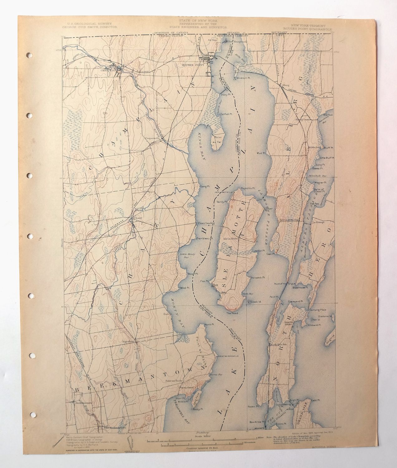
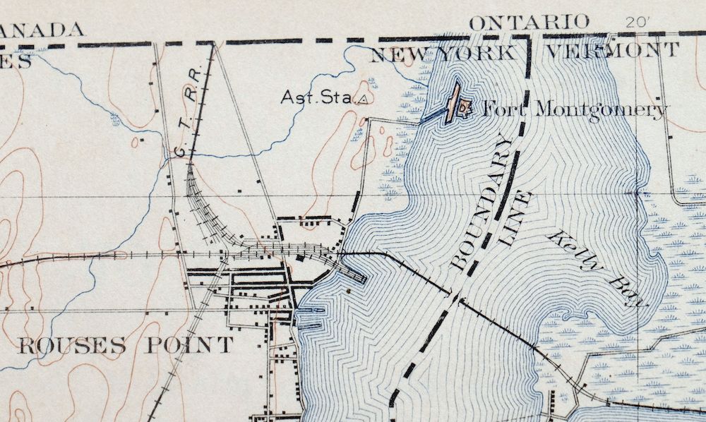
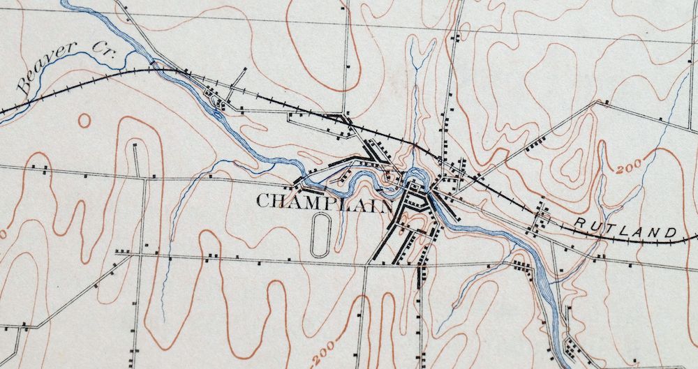
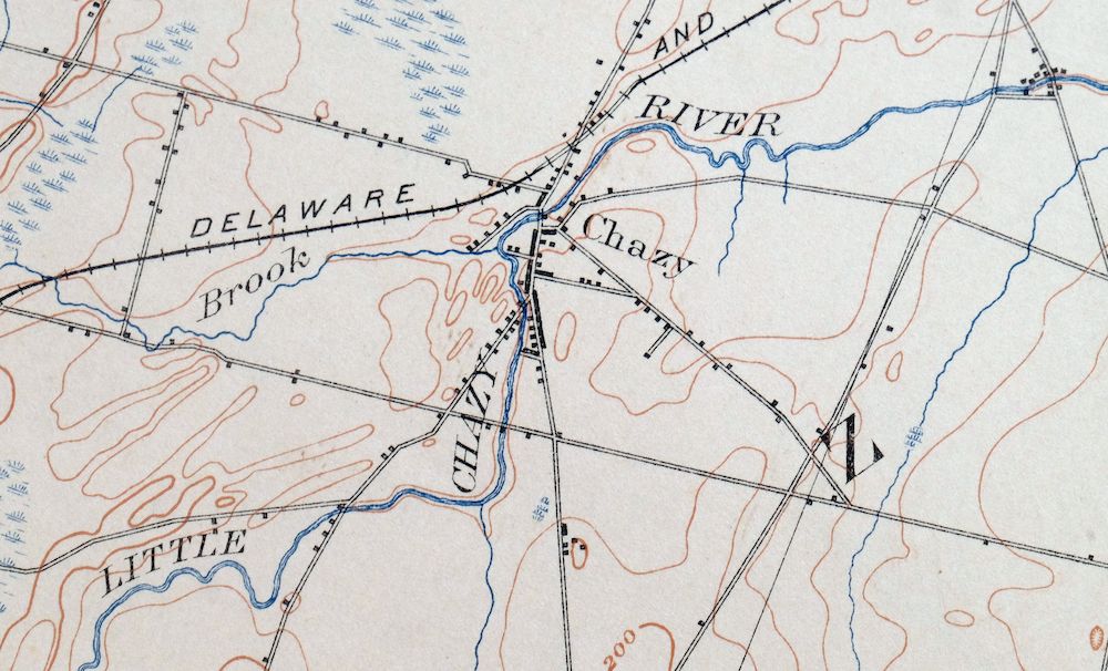
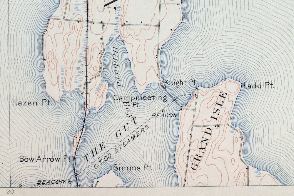
This 15-minute USGS topographic sheet is a 1907 edition, printed in 1913, and this antique print survives in very good condition – never folded, smooth and flat, with only a minor blemish at the south-central edge of the map area. Straddling the New York–Vermont line at the northern end of Lake Champlain, the quad area takes in Rouses Point, Champlain, and Chazy in Clinton County alongside Alburg and North Hero on the Vermont side. Surveyed in 1893 under geographer Henry Gannett and printed decades before the modern highway system, it records the overland travel routes, rail lines, and early placenames of this border country, and comes from an uncommonly well-preserved collection. The reverse carries printed USGS reference material.
In stock
This antique sheet is a 1907 edition of the Rouses Point New York USGS topographic map. It is an authentic 113-year-old 1913 United States Geological Survey print in very good condition.
HOW THIS MAP CAN BE USED
In addition to making a fascinating conversation piece, this sheet would look great in a frame or on display, make a unique and prized gift for anyone interested in this area, be perfect as a reference for genealogy studies or general historical research, or fill that missing piece in your collection.
FEATURES SHOWN ON THE MAP
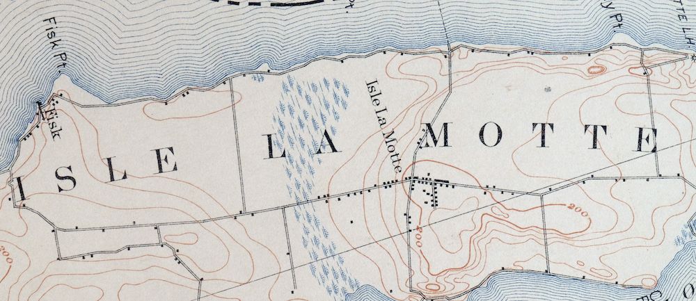
The Rouses Point 15-minute map shows cities and towns, roads, railroads, rivers, creeks, elevation contour lines, public land survey lines, county, state, and other administrative boundaries as they existed at the time of the survey in 1893. All known structures (houses, businesses, churches, schools, barns, cabins, etc) are also shown, with exceptions in some urban areas, where only landmark buildings may be shown.
A VALUABLE HISTORICAL RECORD
Maps from the 15-minute series for the continental United States are no longer produced or printed by the USGS and original prints are becoming increasingly difficult to find. They are a valuable historical record for an area, as they contain many placenames and features that have been dropped from more recent maps.
Nearby maps
-
Mooers New York West Chazy Altona USGS Topo Map 1912 Antique
$57 Add to cart -

Dannemora New York Peru Saranac USGS Topographic Map 1913
$48 Add to cart -
Churubusco New York Lyon Mountain USGS Topo Map 1915 Antique
$48 Add to cart -
Ausable New York Au Sable Forks USGS Topo Map 1909 Antique
$48 Add to cart -

Chateaugay New York Burke USGS 15-Min Topo Map 1915 Antique
$46 Add to cart -
Port Henry Vermont Lake Champlain USGS Topo Map 1913 Antique
$115 Add to cart -

Middlebury Vermont Bristol Starksboro USGS Topo Map 1905
$67 Add to cart -
Saint Regis New York USGS 15-Min Topo Map 1911 Antique
$115 Add to cart -

Brandon Vermont Green Mountain NF USGS Topo Map 1911 Antique
$52 Add to cart -

Massena New York Stockholm Norwood USGS 15-Min Topo Map 1909
$52 Add to cart -
Potsdam New York Norwood Colton USGS Topographic Map 1908
$85 Add to cart -

Waddington New York Norwood Madrid USGS 15-Min Topo Map 1905
$115 Add to cart -

Canton New York Potsdam Norwood USGS Topo Map 1911 Antique
$49 Add to cart -
Raquette Lake New York Speculator USGS Topo Map 1964 Vintage
$32 Add to cart -

Red Mills New York Saint Lawrence River USGS Topo Map 1906
$46 Add to cart -
Ogdensburg New York Heuvelton Lisbon USGS Topo Map 1905
$85 Add to cart -

Gouverneur New York Edwards Richville USGS Topo Map 1915
$52 Add to cart -

Mount Washington New Hampshire Berlin USGS Topo Map 1967
$42 Add to cart -
Brier Hill New York Ogdensburg Morristown USGS Topo Map 1906
$48 Add to cart -
Old Forge New York USGS 15-Min Topographic Map 1913 Antique
$90 Add to cart -
Hammond New York Black Lake Oxbow USGS Topo Map 1912 Antique
$52 Add to cart -
Lowville New York Indian River Croghan USGS Topo Map 1913
$60 Add to cart -
Antwerp New York Fort Drum Fort Drum USGS Topo Map 1911
$46 Add to cart -
Wilmurt New York USGS 15-Min Topographic Map 1912 Antique
$48 Add to cart
