MAP DETAILS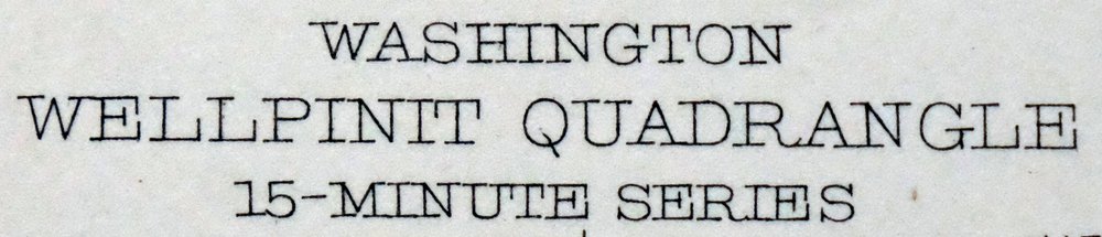 | |
|---|---|
| TITLE | Wellpinit |
| STATE | Washington |
| LOCATION | 25 miles northwest of Spokane |
| SERIES | 15-minute |
| SURVEYED | 1941 Aerial and Field Survey |
| GEOGRAPHER | E.P. Davis |
| EDITION | 1944 |
| PRINTED | 1944 |
| PRINT NOTES | Thick paper stock |
| SCALE | 1:62500 |
| CONTOUR INTERVAL | 25 feet |
| SHEET DIMENSIONS | 17 x 21 inches |
| MAP DIMENSIONS | 11 3/4 x 17 1/2 inches |
| COVERAGE AREA | 12 x 17 miles |
| SHEET CONDITION For maps of this vintage, effort is made to note all visible flaws, no matter how minor. | |
| OVERALL CONDITION | Very Good |
| SHEET NOTES | very lightly handled, never folded |
| MAP AREA | flawless map area |
| COLLARS | no wear or tears, no markings, a few light blemishes, library stamp in lower left collar |
| MAP COVERAGE Quadrangle extent overlaid on current basemap. | |
| BACKSIDE LEGEND | |
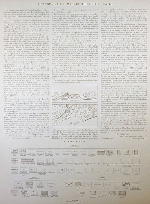 A map summary is printed on the back side of the Wellpinit sheet similar to the one shown in the picture. It outlines the history, purpose, and status of the USGS mapping program at the time of the printing in 1944. It also provides instructions on how to read contour lines and a description of how they are used to depict the terrain. At the bottom of the page is a legend showing all of the symbols used to represent the cultural, relief, and water features found on the map. | |
| PLACENAMES Depending on map series and survey date, all of the features listed below may not be shown on this map. This list contains features that currently exist or historically existed within the area covered by the map. The list can be used as a reference to determine if this map covers your area of interest. Placenames are listed alphabetically next to each feature type. | |
| NOTABLE PLACES | Long Lake, Ford, Little Falls, and Spokane River |
| CITIES AND TOWNS (CURRENT) | Wellpinit |
| COUNTIES COVERED | Lincoln, Spokane, and Stevens |
| FEDERAL LAND UNITS | Lake Roosevelt National Recreation Area and Spokane Indian Reservation |
| RIVERS AND STREAMS | Chamokane Creek, Cottonwood Creek, Deep Creek, Little Chamokane Creek, Mission Creek, Rail Creek, Sams Creek, Sheep Creek, Spring Creek, Thomas Creek, Tshimakain Creek, and Wellpinit Creek |
| WATER BODIES | Franklin D. Roosevelt Lake, Horseshoe Lake, Little Falls Reservoir, and Mathews Lake |
| Populated Place: Ford, Little Falls, Long Lake, and Wellpinit. Locations: Robel Orchards and Wellpinit Sanitation and Maintenance Wastewater Treatment Plant. Mountains, Peaks, and Summits: Happy Hill, Round Mountain, and Sherwood Mountain. Valleys and Canyons: Bishop Canyon, Corkscrew Canyon, Smeltzer Canyon, Spring Creek Canyon, and Tamarack Canyon. Drainages: Chamokane Creek, Cottonwood Creek, Deep Creek, Little Chamokane Creek, Mission Creek, Moses Creek, Rail Creek, Sams Creek, Sheep Creek, Spring Creek, Thomas Creek, Tshimakain Creek, and Wellpinit Creek. Churches: Saint Joseph Church. Post Office: Ford Post Office and Willipit Post Office. Lakes and Ponds: Horseshoe Lake. Buildings: Spokane Tribal Ambulance, Spokane Tribal Fire Department, Stevens County Fire District 1 Station 6 Ford, and Wellpinit Police Department. Waterfalls: Chamokane Falls and Little Chamokane Falls. Dams: Dawn Mine Tailing Pond Area Three Dam, Little Falls Dam, Long Lake Dam, and Wollweber Dam. Gaps: Devils Gap. Bridges: Long Lake Dam Bridge. Airports: Humbert Airport and Tailskid Ranch Airport. Swamps: Mathews Lake. Census: Wellpinit Census Designated Place. Schools: Spokane Tribe of Indians Child Care Center and Wellpinit High School. Ridges: Bottle Ridge. Reservoirs and Tanks: Dawn Mine Tailings Pond, Little Falls Reservoir, Long Lake, and Wolleber Lake. Flats: Walkers Prairie. Cemetery: Hubert Cemetery, Chief Lot Cemetery, and Pleasant View Cemetery. | |
| SHIPPING AND RETURNS | |
 This map sheet will be carefully rolled in a sturdy tube and shipped via the US Postal Service. If you find that the sheet you receive is not as described in the listing, you may ship it back to us for a refund of the purchase price. | |
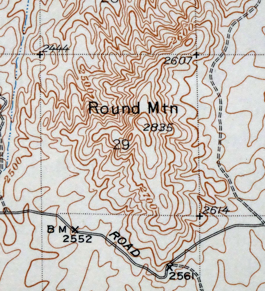
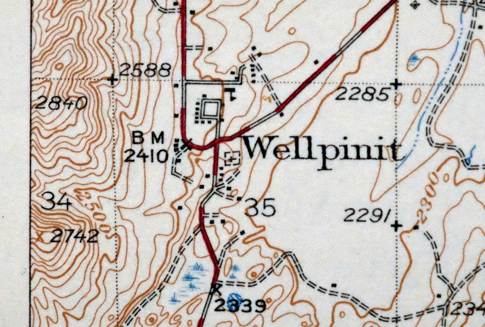
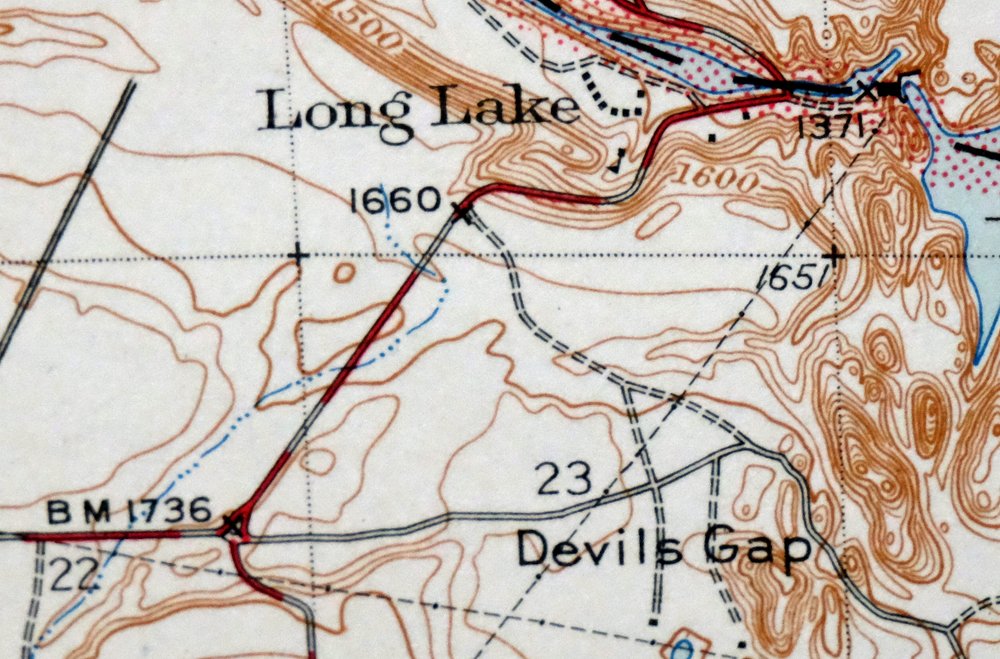
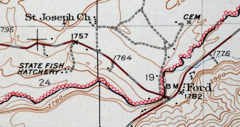
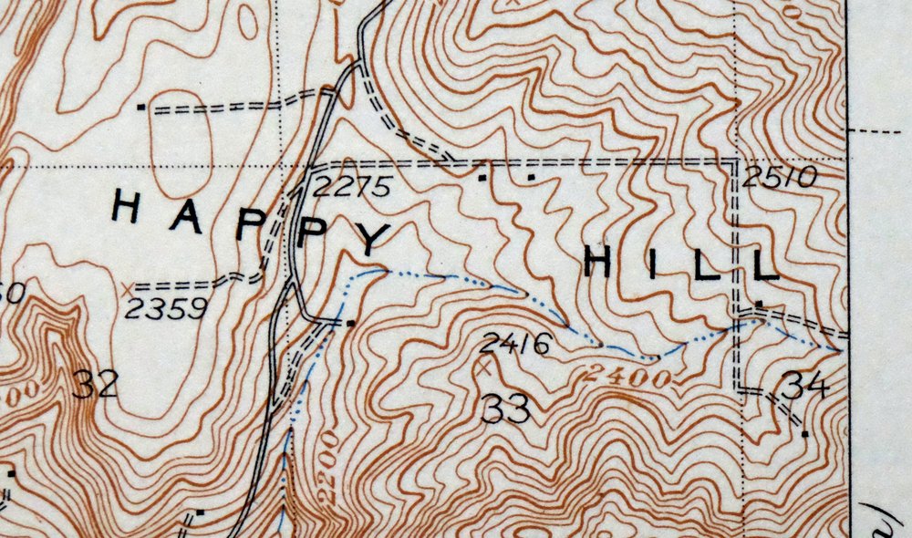
Wellpinit Washington Long Lake Ford USGS Topo Map 1944
$46
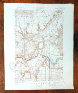
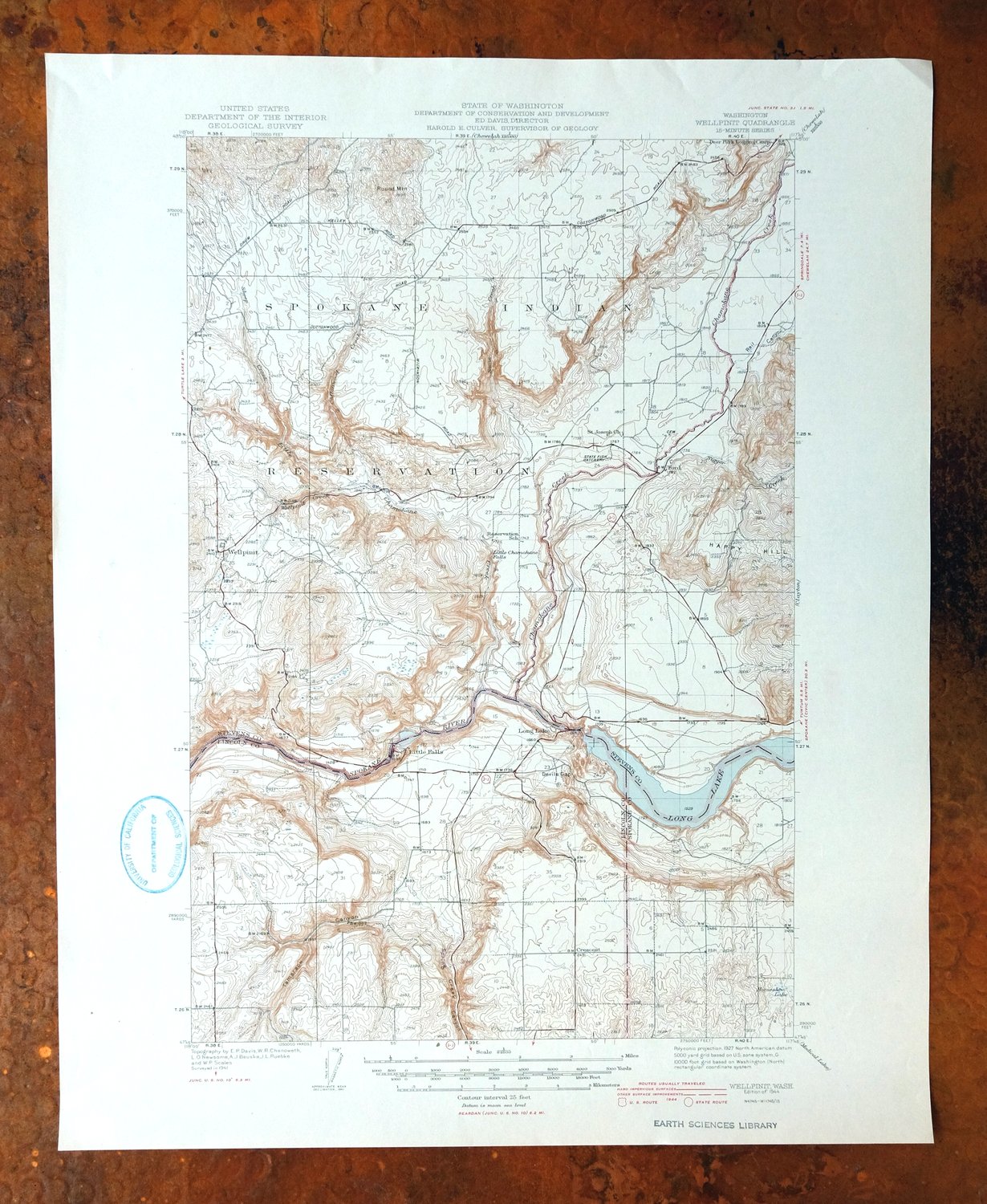
Printed in its year of first publication, 1944, this USGS 15-minute topographic sheet is in very good condition, lightly handled and never folded on thick stock. The quad sits about 25 miles northwest of Spokane and takes in part of the Spokane Indian Reservation, with the communities of Wellpinit, Ford, and Long Lake falling within its boundaries across Lincoln, Spokane, and Stevens counties. Surveyed from 1941 aerial and field work under geographer E.P. Davis, the sheet has a flawless map area and carries a library stamp in the lower left collar, and its reverse holds printed reference material.
In stock
This vintage sheet is a 1944 edition of the Wellpinit Washington USGS topographic map. It is an original 82-year-old United States Geological Survey print in very good condition.
HOW THIS MAP CAN BE USED
In addition to making a fascinating conversation piece, this sheet would look great in a frame or on display, make a unique and prized gift for anyone interested in this area, be perfect as a reference for genealogy studies or general historical research, or fill that missing piece in your collection.
FEATURES SHOWN ON THE MAP
The Wellpinit 15-minute map shows cities and towns, roads, railroads, rivers, creeks, elevation contour lines, public land survey lines, county, state, and other administrative boundaries as they existed at the time of the survey in 1941. All known structures (houses, businesses, churches, schools, barns, cabins, etc) are also shown.
A VALUABLE HISTORICAL RECORD
Maps from the 15-minute series for the continental United States are no longer produced or printed by the USGS and original prints are becoming increasingly difficult to find. They are a valuable historical record for an area, as they contain many placenames and features that have been dropped from more recent maps.
Nearby maps
-

Clayton Washington Spokane USGS 15-Min Topo Map 1951 Vintage
$41 Add to cart -

Deer Park Washington Spokane Fairwood USGS Topo Map 1951
$40 Add to cart -
Wilbur Washington Creston USGS 15-Min Topo Map 1950 Vintage
$35 Add to cart -
1955 USGS Army COE Topo Map: Grand Coulee Dam, Washington
$36 Add to cart -

Oakesdale Washington Saint Joe NF Tekoa USGS Topo Map 1938
$29 Add to cart -
Barker Canyon Washington USGS 7.5-Min Topo Map 1971 Vintage
$36 Add to cart -

La Crosse Washington Winona Palouse River USGS Topo Map 1952
$34 Add to cart -
Orient Washington Colville NF Laurier USGS Topo Map 1951
$37 Add to cart -

Benge Washington Hooper Palouse River USGS Topo Map 1952
$35 Add to cart -
Republic Washington Malo Danville USGS Topo Map 1944 Vintage
$38 Add to cart -

Cataldo Idaho Lakeview Osburn USGS Topo Map 1954 Vintage
$40 Add to cart -

Connell Washington Lind Mesa USGS Topo Map 1918 Antique
$34 Add to cart -
Osoyoos Washington Okanogan NF Oroville USGS Topo Map 1937
$36 Add to cart -
Mount Bonaparte Washington Molson Chesaw USGS Topo Map 1966
$38 Add to cart -
Chopaka Washington Okanogan NF USGS Topographic Map 1917
$50 Add to cart -
Red Rock Washington Royal City Smyrna USGS Topo Map 1911
$20 Add to cart -
1966 USGS Topo Map: Smyrna, Royal City, Washington
$40 Add to cart -
Rock Island Washington South Wenatchee USGS Topo Map 1967
$41 Add to cart -
Colockum Pass Washington Wenatchee USGS 30-Min Topo Map 1922
$36 Add to cart -
Coyote Rapids Washington USGS 15-Min Topo Map 1916 Antique
$48 Add to cart -
Wallula Washington Finley Burbank USGS Topo Map 1918 Antique
$34 Add to cart -
Boylston Washington Vantage Doris USGS Topographic Map 1943
$28 Add to cart -

Walla Walla Washington Langdon Mill Creek USGS Topo Map 1978
$35 Add to cart -

Lucerne Washington USGS 15-Min Topographic Map 1949 Vintage
$37 Add to cart