| MAP DETAILS | |
|---|---|
| TITLE | Christmas |
| STATE | Arizona |
| LOCATION | 20 miles southeast of Globe |
| SERIES | 15-minute |
| SURVEYED | 1915 Field Survey |
| GEOGRAPHER | R.B. Marshall |
| ENGRAVED | 1917 |
| EDITION | 1917 |
| PRINTED | 1917 |
| SCALE | 1:62500 |
| CONTOUR INTERVAL | 50 feet |
| SHEET DIMENSIONS | 16 1/2 x 20 inches |
| MAP DIMENSIONS | 14 5/8 x 17 1/2 inches |
| COVERAGE AREA | 14 x 17 miles |
| SHEET CONDITION For maps of this vintage, effort is made to note all visible flaws, no matter how minor. | |
| OVERALL CONDITION | Good |
| SHEET NOTES | moderately handled, midsheet horizontal foldline (in half), light horizontal mid-sheet crease |
| MAP AREA | no wear, no markings, no blemishes |
| COLLARS | no markings, several minor edge tears in collars discreetly stabilized with transparent archival tape on backside of sheet, minor age discoloration in collars |
| MAP COVERAGE Quadrangle extent overlaid on current basemap. | |
| BACKSIDE LEGEND | |
 A map summary is printed on the back side of the Christmas sheet similar to the one shown in the picture. It outlines the history, purpose, and status of the USGS mapping program at the time of the printing in 1917. It also provides instructions on how to read contour lines and a description of how they are used to depict the terrain. At the bottom of the page is a legend showing all of the symbols used to represent the cultural, relief, and water features found on the map. | |
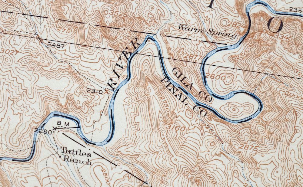
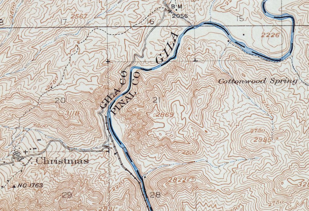
Christmas Arizona USGS 15-Min Topographic Map 1917 Antique
$65
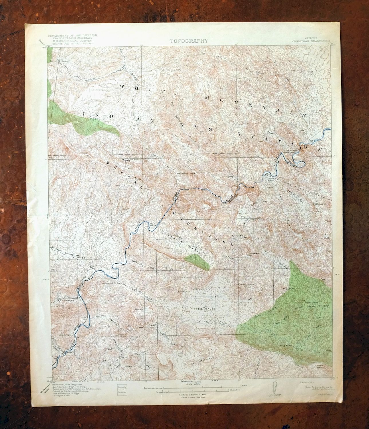
This is a first-year 1917 print of the USGS 15-minute topographic quad for Christmas, Arizona, engraved in 1917 with fieldwork completed in a 1915 survey, and in good condition with a midsheet horizontal foldline and a light mid-sheet crease. Roughly 20 miles southeast of Globe, the quad takes in the Gila River corridor between present-day Coolidge Dam and above Winkelman across Gila and Pinal counties, and includes the mining settlement of Christmas along with portions of the San Carlos Indian Reservation and Needle’s Eye Wilderness. Mapped before the modern highway system, this antique sheet records the overland routes and early placenames of the district when the Christmas mining camp was in its heyday, and the map area itself survives with no wear or markings. The reverse carries printed reference material about the mapping program and how to read the contours.
In stock
This antique sheet is a 1917 edition of the Christmas Arizona USGS topographic map. It is an authentic 109-year-old United States Geological Survey print in good condition.
HOW THIS MAP CAN BE USED
In addition to making a fascinating conversation piece, this sheet would look great in a frame or on display, make a unique and prized gift for anyone interested in this area, be perfect as a reference for genealogy studies or general historical research, or fill that missing piece in your collection.
FEATURES SHOWN ON THE MAP
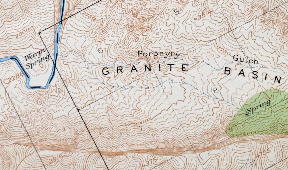
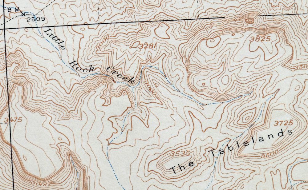
The Christmas 15-minute map shows cities and towns, roads, railroads, rivers, creeks, elevation contour lines, public land survey lines, county, state, and other administrative boundaries as they existed at the time of the survey in 1915. All known structures (houses, businesses, churches, schools, barns, cabins, etc) are also shown, with exceptions in some urban areas, where only landmark buildings may be shown.
A VALUABLE HISTORICAL RECORD
Maps from the 15-minute series for the continental United States are no longer produced or printed by the USGS and original prints are becoming increasingly difficult to find. They are a valuable historical record for an area, as they contain many placenames and features that have been dropped from more recent maps.
PLACENAMES
The following places are found within the boundary of this quadrangle. They may or may not be shown or labeled, depending on the map series and vintage.
* Cities and Towns-> Christmas
* Counties Covered-> Gila and Pinal
* Federal Land Units-> Needle’s Eye Wilderness and San Carlos Indian Reservation
* Rivers and Streams-> Ash Creek, Deer Creek, Dick Spring Creek, Dripping Spring Wash, Gila River, Little Ash Creek, Little Rock Creek, McDougal Wash, Mescal CreekRanch Creek, and others
* Water Bodies-> San Carlos Reservoir
Nearby maps
-
Globe Arizona Miami Claypool USGS Topo Map 1955 Vintage
$55 Add to cart -

Klondyke Arizona USGS 15-Min Topographic Map 1971 Vintage
$48 Add to cart -
Winkelman Arizona Dudleyville Hayden USGS Topo Map 1966
$47 Add to cart -

Superior Arizona Top-of-the-World USGS Topo Map 1957 Vintage
$75 Add to cart -
Oracle Arizona Catalina USGS 15-Min Topo Map 1964 Vintage
$52 Add to cart -

Tortolita Mountains Arizona USGS 15-Min Topographic Map 1964
$46 Add to cart -

Mount Lemmon Arizona Tucson Casas Adobes USGS Topo Map 1967
$58 Add to cart -
Red Rock Arizona Picacho Peak Marana USGS Topo Map 1965
$47 Add to cart -

Sacaton Arizona Gilbert Coolidge USGS Topographic Map 1948
$60 Add to cart -

Winchester Mountains Arizona The Mesas USGS Topo Map 1962
$43 Add to cart -
Cortaro Arizona Tucson Oro Valley USGS Topographic Map 1947
$62 Add to cart -

Desert Well Arizona Apache Junction Mesa USGS Topo Map 1906
$75 Add to cart -

Safford Arizona Thatcher Solomon USGS Topo Map 1980 Vintage
$58 Add to cart -
Signal Peak Arizona Casa Grande Eloy USGS Topo Map 1960
$49 Add to cart -
Globe Arizona Miami Claypool USGS Topo Map 1982 Vintage
$47 Add to cart -

Florence Arizona Apache Junction Superior USGS Topo Map 1917
$73 Add to cart -
Roosevelt Arizona Four Peaks Tonto Basin USGS Topo Map 1956
$52 Add to cart -

Marana Arizona Picture Rocks Rillito USGS Topo Map 1976
$54 Add to cart -
Apache Junction Arizona Tonto NF Mesa USGS Topo Map 1975
$52 Add to cart -
Tucson North Arizona Casas Adobes USGS Topo Map 1977 Vintage
$56 Add to cart -
Casa Grande East Arizona USGS 7.5-Min Topo Map 1975 Vintage
$42 Add to cart -
Chediski Peak Arizona Cibecue USGS Topo Map 1963 Vintage
$44 Add to cart -
Casa Grande West Arizona USGS 7.5-Min Topo Map 1967 Vintage
$47 Add to cart -
Cibecue Arizona Sitgreaves NF USGS Topo Map 1963 Vintage
$44 Add to cart