MAP DETAILS | |
|---|---|
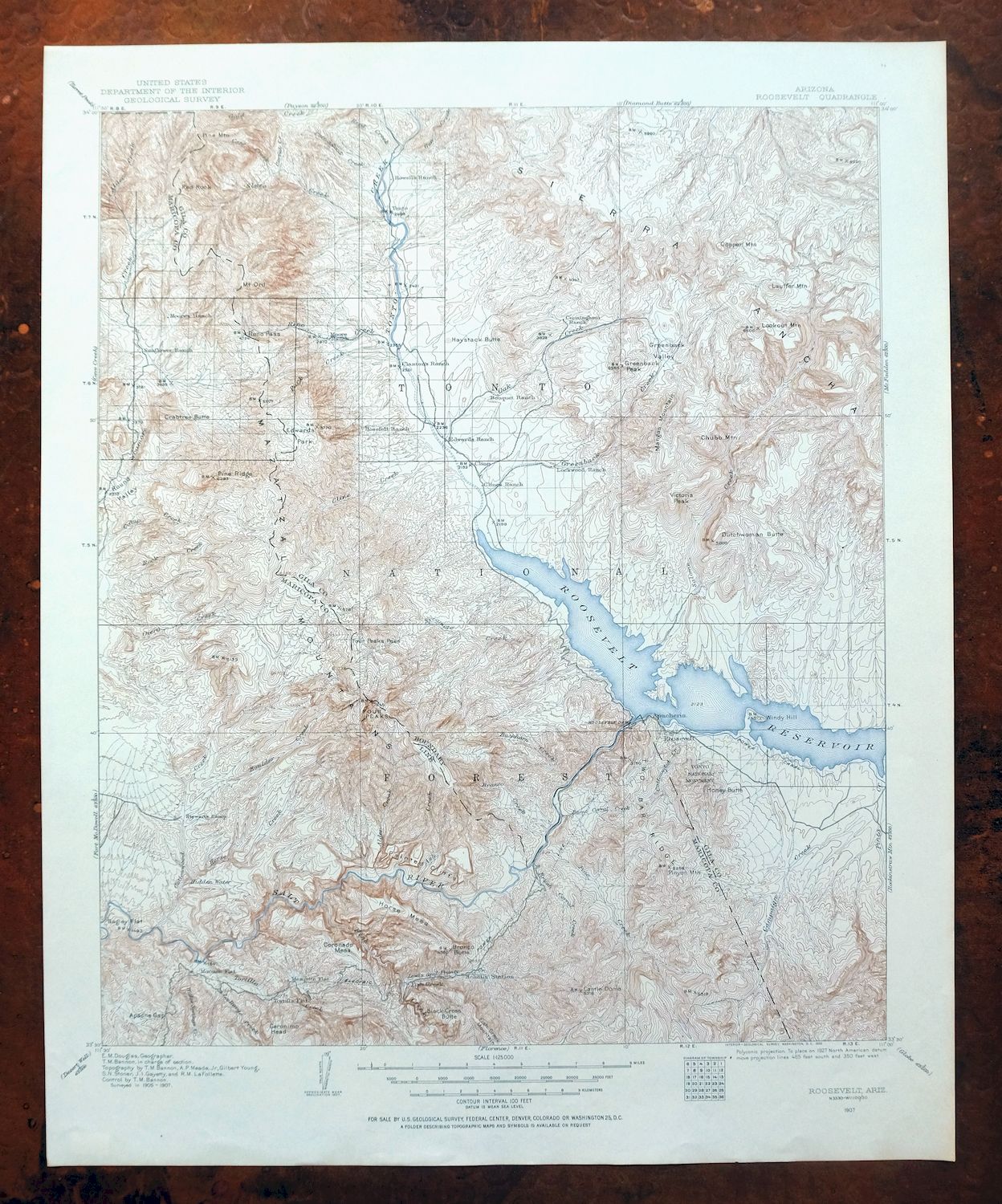
| TITLE | Roosevelt |
| STATE | Arizona |
| LOCATION | Vicinity of Tonto Basin, 50 miles northeast of Phoenix |
| SERIES | 30-minute |
| SURVEYED | 1905 through 1907 Field Survey |
| GEOGRAPHER | E.M. Douglas |
| EDITION | 1907 |
| PRINTED | 1956 |
| PRINT NOTES | Thick paper stock |
| SCALE | 1:125000 |
| CONTOUR INTERVAL | 100 feet |
| SHEET DIMENSIONS | 17 x 20 3/4 inches |
| MAP DIMENSIONS | 14 1/2 x 17 1/2 inches |
| COVERAGE AREA | 29 x 35 miles |
| SOURCE | From the vintage map collection of Art Christiansen, Tempe, Arizona |
| MAP NOTES | A fascinating snapshot of the Roosevelt Lake region of central Arizona a century ago, including the entire Tonto Basin, the Four Peaks, a large portion of the Sierra Ancha, and the free-flowing Salt River Canyon before Apache, Canyon, and Saguaro Lakes existed, with numerous historic travel routes and placenames. |
| SHEET CONDITION For maps of this vintage, effort is made to note all visible flaws, no matter how minor. | |
| OVERALL CONDITION | Excellent |
| SHEET NOTES | very lightly handled, never folded, smooth and flat |
| MAP AREA | flawless map area |
| COLLARS | no wear or tears, no markings, very minor blemishes |
| MAP COVERAGE Quadrangle extent overlaid on current basemap. | |
| PLACENAMES Depending on map series and survey date, all of the features listed below may not be shown on this map. This list contains features that currently exist or historically existed within the area covered by the map. The list can be used as a reference to determine if this map covers your area of interest. Placenames are listed alphabetically next to each feature type. | |
| CITIES AND TOWNS (CURRENT) | Roosevelt, Sunflower, Tonto Basin, and Tortilla Flat |
| COUNTIES COVERED | Gila, Maricopa, and Yavapai |
| FEDERAL LAND UNITS | Apache Lake, Canyon Lake, Four Peaks Wilderness, Mazatzal Wilderness, Saguaro Lake, Salome Wilderness, Superstition Wilderness, Theodore Roosevelt Lake, Tonto National Forest, and Tonto National Monument |
| RIVERS AND STREAMS | Alder Creek, Ash Creek, Barranca Creek, Big Cherry Creek, Boulder Creek, Bronco Creek, Buckhorn Creek, Buena Vista Creek, Bumblebee Creek, Burnt Corral Creek, Camp Creek, Campaign Creek, Connor Wash, Corral Creek, Cottonwood Creek, Cottonwood Wash, Dagger Wash, Davis Wash, Deer Creek, Del Shay Creek, Dinner Creek, East Fork Sycamore Creek, First Water Creek, Fox Gulch Sycamore Creek, Gold Creek, Greenback Creek, Gun Creek, Hackberry Creek, Hardt Creek, Haufer Wash, La Barge Creek, Lambing Creek, Lewis and Pranty Creek, Little Campaign Creek, Little Turkey Creek, Mesquite Creek, Mesquite Wash, Methodist Creek, Oak Creek, Packard Wash, Park Creek, Parker Creek, Picadilla Creek, Pine Creek, Pinto Creek, Reavis Creek, Reno Creek, Reynolds Creek, Rock Creek, Salome Creek, Salt River, Schoolhouse Wash, Sheep Creek, Slate Creek, Spring Creek, Sycamore Creek, Tank Creek, Tonto Creek, Tortilla Creek, Turkey Creek, Walnut Creek, Wildcat Creek, Willow Creek, and Workman Creek |
| WATER BODIES | Apache Lake, Big Rincon Tank, Canyon Lake, Saguaro Lake, and Theodore Roosevelt Lake |
| Locations: Adams Camp, Apache Lake Marina Recreation Site, Apache Lake Resort, Arizona Highway Maintenance Beeline Yard, Arizona Highway Maintenance Fish Creek Yard, Bachelor Cove Recreation Site, Ballantine Trailhead, Bell Plaza Shopping Center, Bermuda Flat Recreation Site, Boulder Bobs Cabin, Bouquet Ranch, Boyer Cabin, Brunson Ranch, Cane Spring Trialhead, Canyon Lake Marina, Cholla Bay Boating Site, Cholla Bay Recreation Site, Cline Cabin, Conway Ranch, Cottonwood Camp, Cottonwood Trailhead, Crabtree Wash Recreation Residences, Cross F Ranch, Cross F Trailhead, Cross P Ranch, Del Shay Cabin, Diamond Ranch, Dupont Cabin, Frazier Substation, Hat Ranch, Horrell Ranch, J R Ranch, J Slash Ranch, Jack Shoe Ranch, Laguna Boating Site, Long Pine Trailhead, Moore Ranch, North Bay Estates, Oak Creek Ranch, Old Fort Reno, Orange Peel Recreation Site, Owlhead, Palo Verde Boating Site, Roosevelt Estates, Roosevelt Marina, Roosevelt Ranger Station, Salt River Project Housing, Soldier Camp, Soldier Camp Trailhead, Spring Creek Ranch, Sunflower Ranger Station, Sunflower Work Center, Three Bar Cabin, Tonto, Tonto Basin Post Office, Tonto Basin Ranger Station, Tonto Cliff Dwellings, Two Bar Ranch, Upper Horrell, Windy Hill Boat Ramp, and Z T Ranch. Areas: Black Hills Study Plot, Haufer Research Natural Area, The Rolls, and Three Bar Watershed Research Area. Mountain Ranges: Sierra Ancha and Mazatzal Mountains. Mountains, Peaks, and Summits: Apache Hill, Armer Mountain, Arrowhead Mountain, Baker Mountain, Black Cross Butte, Blue Hills, Blue Peak, Boneyback Peak, Bear Head Mountain, Black Mesa, Black Mountain, Boulder Mountain, The Boulders, Bronco Butte, Browns Peak, Buck Peak, Buckhorn Mountain, Bull Mountain, Cactus Butte, Camelback Peak, Castle Dome, Chalk Mountain, Chubb Mountain, Cline Mesa, Copper Mountain, Coronado Mesa, Crabtree Butte, Cypress Peak, Deer Hill, Dutchwoman Butte, Eagle Peak, Edwards Peak, Fish Creek Mountain, Fish Creek Peak, Four Peaks, Geronimo Head, Goat Mountain, Granite Mountain, Greenback Peak, Haystack Butte, Henderson Mesa, Honey Butte, Hopkins Mountain, Horse Mesa, Horse Range Mesa, Iron Dike, Jess Peak, Juniper Mountain, Kayler Butte, Lime Mountain, Little Mount Ord, Lookout Point, Methodist Mesa, Methodist Mountain, Middle Mountain, Mine Mountain, Mistake Peak, Mount Ord, Panther Mountain, Peters Mountain, Picture Mountain, Pine Butte, Pine Mountain, Pinyon Mountain, El Recortado, Red Blanket Peak, Red Rock, Redman Mesa, Round Mountain, Roundup Hill, Salome Mountain, Schoolhouse Point, Sheep Mountain, Sweetheart Peak, Tanner Peak, Thompson Mesa, Three Sisters Mountain, Twin Butte, Two Bar Mountain, Victoria Peak, Vineyard Mountain, Whirpool Rock, and Windy Hill. Valleys and Canyons: Alchesay Canyon, Armer Gulch, Baldy Canyon, Ballantine Canyon, La Barge Canyon, La Barge Canyon, Blue Peak Canyon, Blue Tank Canyon, Bear Head Canyon, Boulder Canyon, Boyer Canyon, Cane Spring Canyon, Cataract Canyon, Cave Canyon, Cholla Canyon, Chuckwalla Canyon, Cloudburst Canyon, Colcord Canyon, Connor Canyon, Deadman Canyon, Devils Canyon, Dinner Canyon, Dupont Canyon, East Lacy Fork, Fish Creek Canyon, Fox Gulch, Hells Hip Pocket, Hells Hole, Horse Canyon, Indian Camp Canyon, J R Canyon, Jakes Tank Canyon, Juniper Canyon, Kitty Joe Canyon, Lion Canyon, Long Canyon, Long Gulch, Maverick Basin, McFarland Canyon, Mills Canyon, Mud Spring Canyon, Oak Spring Canyon, Panther Gulch, Peters Canyon, Quartz Ledge Canyon, Ram Valley, Reed Gulch, Salt Gulch, Salt Log Canyon, Schell Gulch, Seucito Canyon, Skunk Tank Canyon, Sunflower Valley, Sycamore Canyon, Telephone Canyon, Tule Canyon, Two Bar Canyon, Vineyard Canyon, Walnut Canyon, West Lacy Fork, and Wildcat Canyon. Parks: Acacia Recreation Site One Hundred Sixty Four, Apache Lake Campground, Bagley Flat Recreation Site, Boulder Recreation Site One Hundred Forty Eight, Buckhorn Mountain Research Natural Area, Burnt Corral Campground, Horse Pasture Recreation Area, Laguna Recreation Site One Hundred Fifty, Palo Verde Recreation Site 147, Porter Spring Recreation Area, Roosevelt Lake Wildlife Area, Salt River Bird Reservation, Schoolhouse Point Recreation Area, The Point Recreation Site, Three Bar Wildlife Area, Three Bar Wildlife Enclosure, Tonto National Monument, Tortilla Flat Recreation Site Number Two Hundred Fifty Six, Waterdog Recreational Site, Windy Hill Point Recreational Area, and Windy Hill Recreation Area. Trails: Alder Trail, Apache Trail, Baldy Trail, Boulder Creek Trail, Boyer Trail One Hundred Fortyeight, Denton Trail, Four Peaks Trail, Granite Spring Trail, Lone Pine Trail, Pine Mountain Trail, Pipeline Trail, and Soldier Camp Trail. Drainages: Alder Creek, Ash Creek, La Barge Creek, Barranca Creek, Big Cherry Creek, Boulder Creek, Bronco Creek, Buckhorn Creek, Buena Vista Creek, Bumblebee Creek, Burnt Corral Creek, Campaign Creek, Cellar Creek, Chukar Wash, Connor Wash, Corral Creek, Cottonwood Creek, Cottonwood Wash, Crabtree Wash, Dagger Wash, Davis Wash, East Fork Sycamore Creek, First Water Creek, Fish Creek, Fox Gulch Sycamore Creek, Gold Creek, Greenback Creek, Gun Creek, Hackberry Creek, Hardt Creek, Haufer Wash, Lambing Creek, Lewis and Pranty Creek, Little Cherry Creek, Little Turkey Creek, Mesquite Creek, Methodist Creek, Oak Creek, Packard Wash, Park Creek, Parker Creek, Pine Creek, Reavis Creek, Reno Creek, Reynolds Creek, Rock Creek, Salome Creek, Schoolhouse Wash, Slate Creek, Spring Creek, Sycamore Creek, Tank Creek, Tonto Creek, Tortilla Creek, Turkey Creek, Walnut Creek, West Fork Sycamore Creek, Willow Creek, and Workman Creek. Islands: Haystack Island, Rabbit Island, Rock Island, Saddle Island, Shelter Island, Ship Rock, and Steamboat Rock. Capes: Bass Point, Grapevine Point, Hotel Point, and Indian Point. Mines: Amethyst Mine, Bluebird Mine, Cinnabar Mine, Cornucopia Mine, El Oso Mine, Golden Rule Mine, Jolene Mine, Journigan Mine, Laubs Mine, Little Daisy Mine, Mercuria Mine, Ord Mine, El Oso Mine, Pine Mountain Mine, Pittsburg Tonto Mine, Rattlesnake Mine, Saguaro Mine, and Sunflower Mine. Forests: Tonto National Forest. Buildings: Tonto National Monument Headquarters. Dams: Horse Mesa Dam, Mormon Flat Dam, and Theodore Roosevelt Dam. Bluffs: Glendale Point, Inspiration Point, The Jug, Lookout Point, Malpais Cliffs, and Painted Cliffs. Gaps: Alder Saddle, Apache Gap, Black Bear Saddle, Big Saddle, Boulder Pass, Gunsight Gap, Lone Pine Saddle, Malicious Gap, Plow Saddle, Reavis Gap, Reno Pass, and Windy Pass. Channels: Fools Pass. Bays: Bachelor Cove Area, Cholla Bay Area, Eucalyptus Cove, Mills Cove Area, Salome Cove, and Soltera Cove. Basins: Brushy Basin, Buck Basin, Buckhorn Basin, Bull Basin, Cedar Basin, Cottonwood Basin, Del Shay Basin, Greenback Valley, Hackberry Basin, Tonto Basin, and Tucker Box. Airports: Grapevine Airport, Horse Mesa Dam Number Two Heliport, Horse Mesa Number One Heliport, Mormon Flat Dam Heliport, Punkin Center Landing Strip, Roosevelt Dam Heliport, and Tonto Ranger Station Heliport. Schools: Horse Mesa Accommodation School and Packard Elementary School. Ridges: Boyer Ridge, Buckhorn Ridge, Half Moon Ridge, Nonesuch Rocks, Slate Creek Divide, Two Bar Ridge, and The Wata Ridges. Reservoirs and Tanks: Apache Lake, Bagley Tank, Beeline Tank, Big Turkey Tank, Bobcat Tank Number Two, Big Rincon Tank, Boulder Tank, Brownie Tank, Buckaroo Tank, Buckhorn Tank, Bull Mountain Tank, Bull Tank, Bushnell Sheep Tank, Butte Tank, Canyon Lake, Cataract Tank, Center Ridge Tank, Charlie Tank, Cholla Tank, Copper Mountain Points Tank, Copper Mountain Tank, Coyote Tank, Deer Hill Tank, Dupont Tank, Dust Bowl Tank, Dutchwoman Tank, East Tank, First Basin Tank, Gold Creek Tank, Granite Tank, Greenback Saddle Tank, Greenback Tank, Gun Tank, H Four Tank, Haystack Tank, Headquarters Pasture Tank, Henderson Tank, Honey Butte Tank, Horse Tank, Indian Camp Reservoir, Jerky Butte Tank, Lake Tank, Lann Tank, Little Copper Mountain Tank, Little Turkey Tank, Long Mesa Tank, Lower H N Trough, Lower Thompson Mesa Tank, McBride Tank, Mesa Tank, Methodist Mesa Tank, Midway Tank, Mills Ridge Tank, Mormon Tank, Muskhog Tank, O'Neil Tank, Peach Hollow Tank, Pine Flat Tank, Pine Mountain Tank, Quartz Ledge Tank, Redman Mesa Tank, Rincon Tank, Rock Tank, Salt Gulch Tank, San Carlos Tank, Schoolhouse Tank, Sheep Tank, South Cactus Tank, Substitute Tank, Theodore Roosevelt Lake, Thoroughbred Pasture Tank, Tin Tank, Top Tank, Trick Tank, Tule Tank, Twin Butte Tank, Upper Thompson Mesa Tank, Water Hole Tank, West Copper Mountain Tank, Whiskey Tank, and Willow Springs Basin Tank. Flats: Bagley Flat, Big Oak Flat, Big Pine Flat, Buckaroo Flats, Edwards Park, Goose Flats, Little Pine Flat, Mesquite Flat, Mormon Flat, and Squaw Flat. Towers: Mount Ord Lookout Tower. Wells: Campaign Well, Double Corral Trough, Honey Butte Well, Mesa Well, and Willow Springs Well. Springs: Amethyst Spring, Ash Creek Spring, Ash Spring, Balloon Cabin Spring, Black Bear Spring, Blackberry Spring, Blue Spring, Bootlegger Spring, Bear Head Spring, Bear Spring, Big Pine Spring, Boulder Mountain Spring, Bronco Spring, Browns Cabin Spring, Brushy Basin Spring, Buck Basin Spring, Buckhorn Spring, Buena Vista Spring, Bull Canyon Spring, Cactus Butte Spring, Calcord Springs, Camelback Spring, Camp Creek Spring, Cane Spring, Canyon Spring, Cedar Basin Spring, Cedar Spring, Centipede Spring, Chalk Spring, Cherry Creek Spring, Chillicut Spring, Chinaberry Spring, Cienega Spring, Circle M Spring, Cloudburst Spring, Cold Water Spring, Corner Spring, Cottonwood Spring, Cottonwoods Spring, Coyote Spring, Crabtree Spring, Cypress Spring, Dagger Springs, Dan Neal Spring, Daniels Spring, Davis Spring, Del Shay Spring, Denton Trough Spring, Dipper Spring, East Diamond Spring, Edwards Spring, Elephant Corral Spring, Felton Spring, Fisher Spring, Four Peaks Spring Number One, Four Peaks Spring Number Two, Fox Gulch Spring, Gans Hole Spring, Gold Tooth Smith Spring, Granite Spring, Grapevine Spring, Hackberry Basin Spring, Hackberry Spring, Haufner Spring, Hells Hole Spring, Hidden Spring, Hidden Water Spring, Hillside Spring, Hole Spring, Hopkins Spring, Horrell Spring, Horse Camp Seep, Horse Pasture Spring, Hummingbird Spring, Hyde Cabin Spring, Hyde Spring, Hymn Book Spring, Ike Spring, Indian Spring, Jacks Spring, Journigan Spring, Jump-Off Spring, Juniper Spring, Kayler Spring, Kitty Joe Canyon Spring, Kitty Joe Spring, Klondike Spring, Lily Hole Spring, Lime Mountain Spring, Lime Springs, Lion Spring, Long Gulch Spring, Maple Spring, Martin Spring, Medlers Seep, Mescal Pit Spring, Middle Water Spring, Mine Mountain Spring, Monkey Spring, Mount Ord Trough Spring, Mountain Spring, Mud Spring, Mud Springs, Nonesuch Spring, Nook Spring, O'Connell Spring, O'Neil Spring, Oak Flat Spring, Oak Spring, Oaker Spring, Packard Spring, Palmer Spring, Panther Spring, Paradise Spring, Park Spring, Pasture Spring, Pigeon Spring, Plow Saddle Springs, Point of Rock Spring, Quartz Ledge Spring, Rainy Spring, Rattlesnake Spring, Red Rock Spring, Reed Spring, Rock Horse Spring, Rock House Spring, Rock Spring, Rocky Dublin Spring, Secucito Spring, Shake Spring, Shell Spring, Steer Spring, Sunflower Spring, Swede Spring, Sycamore Spring, Tejanos Spring, Thicket Spring, Thompson Spring, Tin House Spring, Tule Spring, Tunnel Spring, Upper Two Bar Spring, Vineyard Spring, Walnut Canyon Spring, Walnut Spring, Wata Spring, Weiss Spring, Whiskey Spring, White Rock Spring, Wildcat Seep, Willow Spring, Winger Spring, Yellow Jacket Spring, and Yellowjacket Spring. | |
| SHIPPING AND RETURNS | |
 This map sheet will be carefully rolled in a sturdy tube and shipped via the US Postal Service. If you find that the sheet you receive is not as described in the listing, you may ship it back to us for a refund of the purchase price. | |
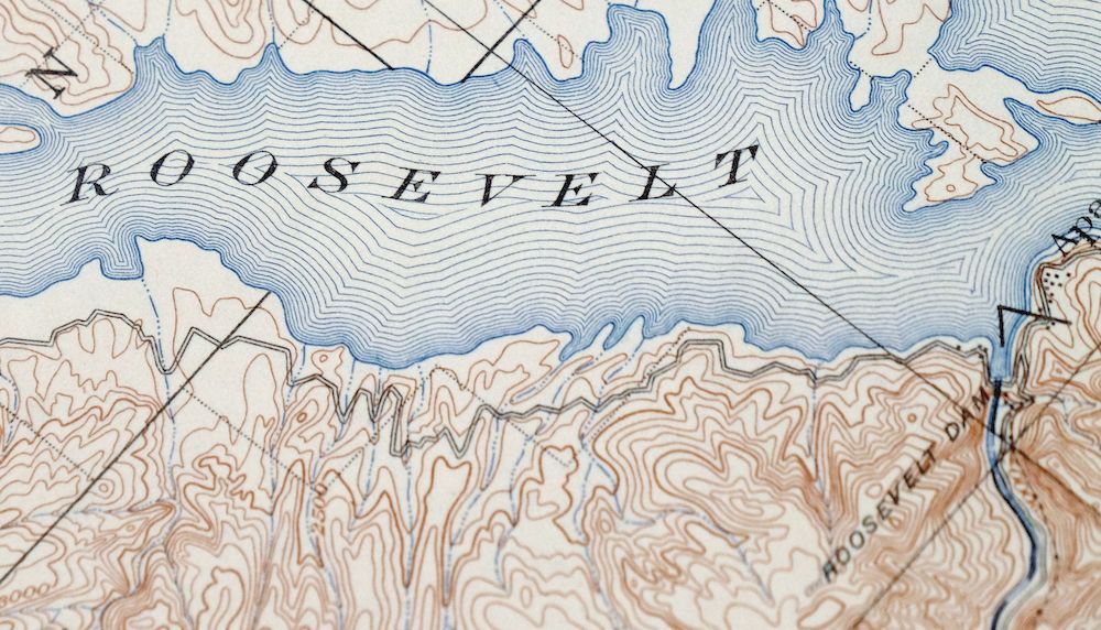
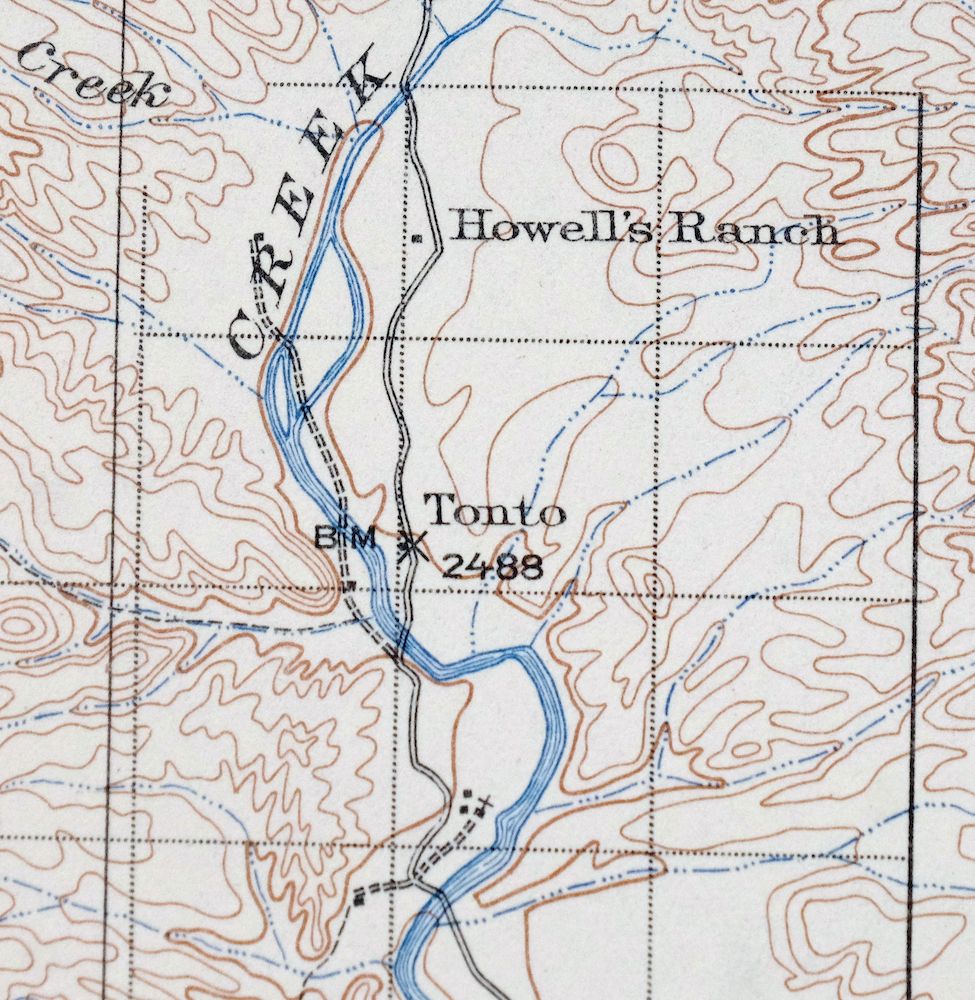
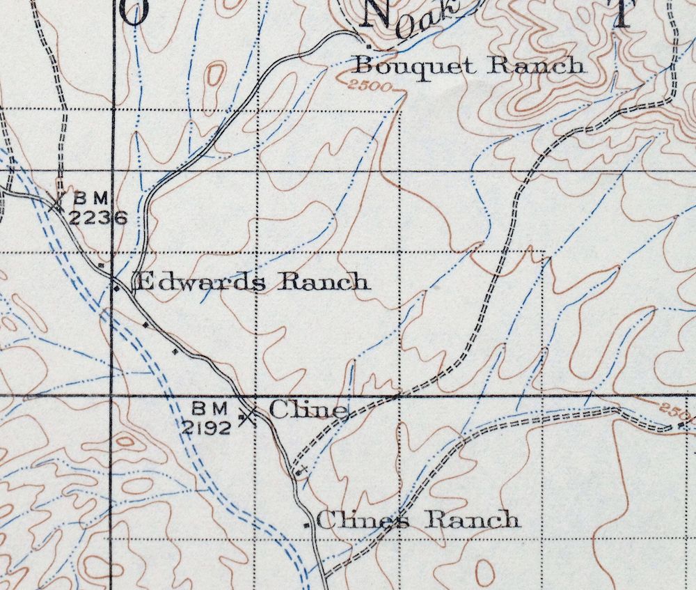
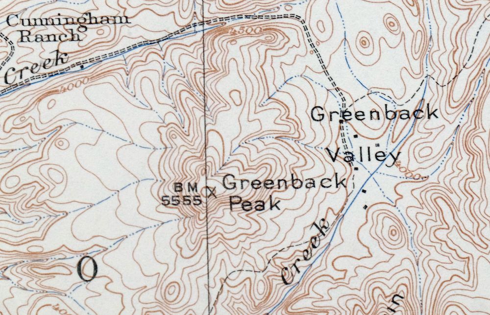
Roosevelt Arizona Four Peaks Tonto Basin USGS Topo Map 1956
$52
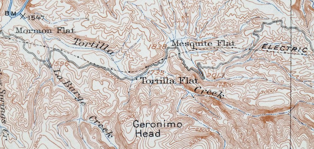
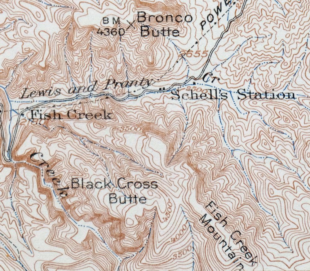
This USGS 30-minute topographic sheet is a 1907 edition printed in 1956, and the print is in excellent condition: never folded, smooth and flat, on thick stock, with a flawless map area and only very minor blemishes in the collar. It takes in the Tonto Basin region of central Arizona about 50 miles northeast of Phoenix, with the Four Peaks and a large portion of the Sierra Ancha within its boundaries, along with parts of Tonto National Forest, Tonto National Monument, and Theodore Roosevelt Lake, and the quad area includes Tonto Basin, Roosevelt, Sunflower, and Tortilla Flat. Because the base edition dates to 1907, it shows the Salt River Canyon free-flowing before Apache, Canyon, and Saguaro Lakes existed, tracing the historic travel routes and placenames of the Roosevelt Lake country as it stood a century ago. It comes from the vintage map collection of Art Christiansen of Tempe, Arizona.
In stock
This vintage sheet is a 1907 edition of the Roosevelt Arizona USGS topographic map. It is an original 70-year-old 1956 United States Geological Survey print in excellent condition.
HOW THIS MAP CAN BE USED
In addition to making a fascinating conversation piece, this sheet would look great in a frame or on display, make a unique and prized gift for anyone interested in this area, be perfect as a reference for genealogy studies or general historical research, or fill that missing piece in your collection. Maps of this vintage are printed on durable stock and are well-suited for outdoor activities and recreation of all kinds, including hiking, backpacking, hunting, rafting and kayaking, backcountry skiing, geocaching, general exploration, treasure hunting, etc.
FEATURES SHOWN ON THE MAP
The Roosevelt 30-minute map shows cities and towns, roads, railroads, utilities and energy infrastructure, rivers, creeks, elevation contour lines, public land survey lines, county, state, and other administrative boundaries as they existed at the time of the survey in 1905 through 1907.
A VALUABLE HISTORICAL RECORD
Maps from the USGS 30-minute series have been out of print for many years. They have never been common and original prints are increasingly difficult to find. For areas where the 30-minute map was produced, it is usually the first large-scale survey done by the USGS for that area. These are a valuable historical record, as they contain many placenames and features that have been dropped from more recent series’ and editions.
Nearby maps
-

Cave Creek Arizona Phoenix Mesa USGS Topo Map 1963 Vintage
$44 Add to cart -

Florence Arizona Apache Junction Superior USGS Topo Map 1917
$70 Add to cart -

Camp Verde Arizona Cottonwood Sedona USGS Topo Map 1965
$56 Add to cart -

Congress Arizona Yarnell Wilhoit USGS Topo Map 1948 Vintage
$38 Add to cart -

Morenci Arizona Clifton Blue River USGS 30-Min Topo Map 1954
$64 Add to cart -

Superior Arizona Top-of-the-World USGS Topo Map 1957 Vintage
$45 Add to cart -
Payson Arizona Sun Valley Gisela USGS Topo Map 1965 Vintage
$64 Add to cart -
Apache Junction Arizona Tonto NF Mesa USGS Topo Map 1975
$42 Add to cart -

Mcdowell Peak Arizona Scottsdale USGS Topo Map 1967 Vintage
$37 Add to cart -
Globe Arizona Miami Claypool USGS Topo Map 1982 Vintage
$28 Add to cart -

Desert Well Arizona Apache Junction Mesa USGS Topo Map 1906
$65 Add to cart -
Globe Arizona Miami Claypool USGS Topo Map 1955 Vintage
$54 Add to cart -

Camelback Arizona Tonto NF Phoenix USGS 15-Min Topo Map 1948
$55 Add to cart -

Mesa Arizona Gilbert Salt River USGS Topo Map 1965 Vintage
$95 Add to cart -
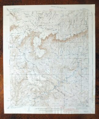
Pine Arizona Payson Sun Valley USGS Topo Map 1940 Antique
$45 Add to cart -
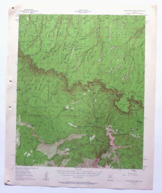
Promontory Butte Arizona Coconino NF USGS Topo Map 1960
$46 Add to cart -
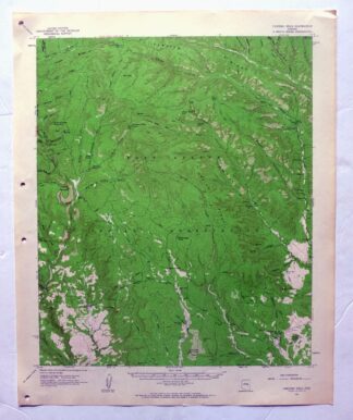
Chediski Peak Arizona Cibecue USGS Topo Map 1963 Vintage
$32 Add to cart -

Sacaton Arizona Gilbert Coolidge USGS Topographic Map 1948
$45 Add to cart -
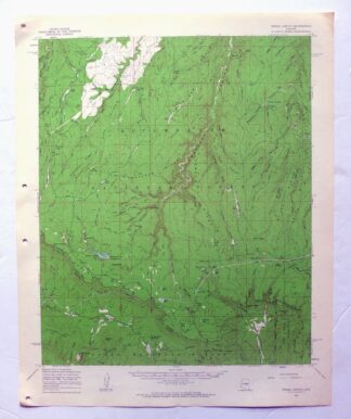
Woods Canyon Arizona Sitgreaves NF USGS 15-Min Topo Map 1963
$35 Add to cart -
Guadalupe Arizona Phoenix Mesa USGS Topo Map 1957 Vintage
$49 Add to cart -
Phoenix Arizona USGS 7.5-Min Topographic Map 1968 Vintage
$32 Add to cart -
Glendale Arizona Phoenix Peoria USGS Topo Map 1975 Vintage
$37 Add to cart -

Gila Butte Arizona Chandler Santan USGS Topographic Map 1966
$37 Add to cart -
Christmas Arizona USGS 15-Min Topographic Map 1917 Antique
$57 Add to cart