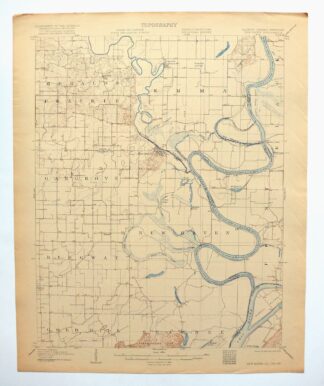
MAP DETAILS | |
|---|---|
| TITLE | New Haven |
| STATE | Illinois, Indiana, Kentucky |
| SURVEYED | 1905 Field Survey |
| GEOGRAPHER | H.M. Wilson |
| ENGRAVED | 1906 |
| SCALE | 1:62500 |
| CONTOUR INTERVAL | 20 feet |
| SHEET DIMENSIONS | 16 1/2 x 20 inches (approximate) |
| MAP DIMENSIONS | 13 7/8 x 17 1/2 inches |
| COVERAGE AREA | 14 x 17 miles |
| SHEET CONDITION For maps of this vintage, effort is made to note all visible flaws, no matter how minor. | |
| SHEET NOTES | very lightly handled, never folded, lightly age-toned sheet |
| MAP AREA | flawless map area |
| COLLARS | no markings, no blemishes, very minor edge tears repaired with archival tape on backside of sheet |
| MAP COVERAGE Quadrangle extent overlaid on current basemap. | |
| BACKSIDE LEGEND | |
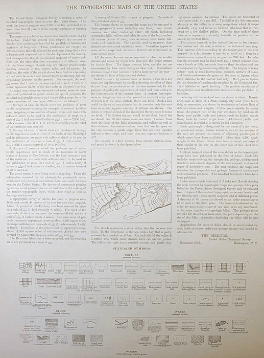 A map summary is printed on the back side of the New Haven sheet similar to the one shown in the picture. It outlines the history, purpose, and status of the USGS mapping program at the time of the printing in 1920. It also provides instructions on how to read contour lines and a description of how they are used to depict the terrain. At the bottom of the page is a legend showing all of the symbols used to represent the cultural, relief, and water features found on the map. | |
| PLACENAMES Depending on map series and survey date, all of the features listed below may not be shown on this map. This list contains features that currently exist or historically existed within the area covered by the map. The list can be used as a reference to determine if this map covers your area of interest. Placenames are listed alphabetically next to each feature type. | |
| CITIES AND TOWNS (CURRENT) | Cottonwood, Herald, New Haven, and Ridgway |
| COUNTIES COVERED | Gallatin, Posey, Union, and White |
| RIVERS AND STREAMS | Big Creek, Big Creek Slough, Cane Creek, Levy Slough, Lick Creek, Little Chain Cutoff, Little Wabash River, Millrace Slough, Ohio River, Old River, Running Slough, Sibley Creek, and Wabash River |
| WATER BODIES | Beaver Pond, Brushy Slough, Clark Pond, Clear Pond, Fehrer Lake, Fishpond Swamp, Goose Pond, Halfmoon Pond, Horseshoe Pond, Hulda Lake, Joes Slough, Long Pond, Pitcher Lake, Round Pond, Slim Pond, Tweedle Pond, and Yellowbank Slough |
| Illinois Locations: Old River Camp. Administrative Boundaries: Township of Asbury, Township of Emma, Township of Heralds Prairie, Township of New Haven, and Township of Ridgway. Mountain Ranges: Dogtown Hills and Little Chain Hills. Drainages: Black Branch, Lick Creek, Little Wabash River, and Running Slough. Churches: Asbury Church, Chapman Grove Church, Emma Concord Church, New Hope Church, Old Cottonwood Church, Perry Church, Plainview Church, Saint Patricks Church, and Union Ridge Church. Lakes and Ponds: Beaver Pond, Clark Pond, Clear Pond, Fehrer Lake, Fishpond Swamp, Horseshoe Pond, Hulda Lake, Long Pond, Round Pond, and Tweedle Pond. Levees: Granny Tweedle Levee. Canals: Crackle Ditch, Cypress Ditch, and Pond Settlement Ditch. Bayous and Sloughs: The Bayou, Berdick Slough, Grinnel Slough, Mill Slough, Old River, Running Slough, and Sandy Slough. Bridges: Wabash River Memorial Bridge. Bends: Winners Bend. Airports: Downen Heliport and Sutton Airport. Swamps: Brushy Slough, Cattail Slough, Cow Pond Slough, Goose Pond, Goose Pond Scatters, Goose Pond Swamp, Joes Slough, Willow Pond Slough, and Yellowbank Slough. | |
| Indiana Parks: Dogtown Ferry Public Fishing Site. Drainages: Big Creek, Big Creek Slough, Levy Slough, Little Chain Cutoff, Old River, and Wabash River. Islands: Greathouse Island, Hermann Island, and Mackeys Island. Lakes and Ponds: Goose Pond, Halfmoon Pond, Pitcher Lake, and Slim Pond. Levees: Bone Bank. Bayous and Sloughs: Cypress Slough. Bridges: Memorial Bridge and Wabash River Memorial Bridge. Schools: Black School. | |
| Kentucky Drainages: Sibley Creek. Islands: Wabash Island. Churches: Reburn Church. | |
| SHIPPING AND RETURNS | |
 Ships carefully rolled in a sturdy 2" x 18" mailing tube. Shipping and return details are in our terms. | |
1906 USGS Topo Map: New Haven, Ridgway, Illinois/Indiana
$38
- 30 miles west of Evansville, IN.
- 15-minute series, 1906 edition, printed in 1920.
- Excellent condition, never folded.
In stock
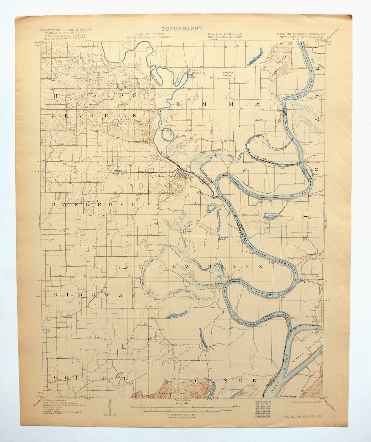
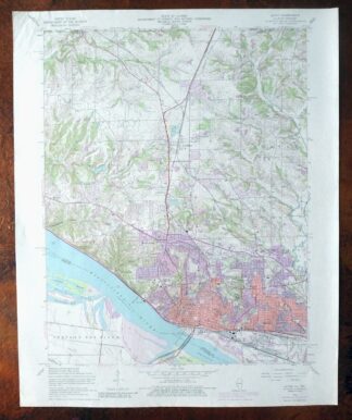
This antique sheet is a 1906 edition of the New Haven Illinois USGS topographic map. It is an authentic 106-year-old 1920 United States Geological Survey print in excellent condition.
HOW THIS MAP CAN BE USED
In addition to making a fascinating conversation piece, this sheet would look great in a frame or on display, make a unique and prized gift for anyone interested in this area, be perfect as a reference for genealogy studies or general historical research, or fill that missing piece in your collection.
FEATURES SHOWN ON THE MAP
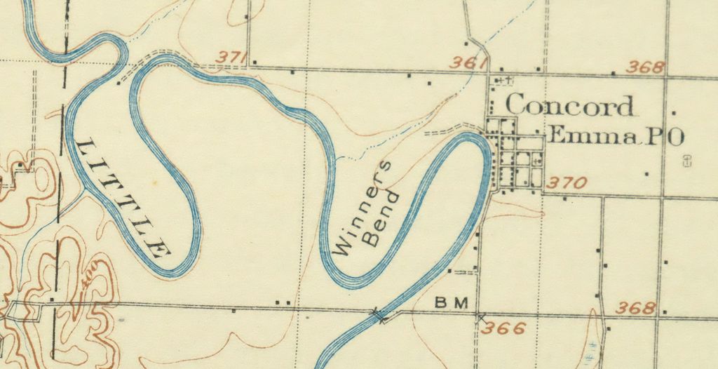
The New Haven 15-minute map shows cities and towns, roads, railroads, rivers, creeks, elevation contour lines, public land survey lines, county, state, and other administrative boundaries as they existed at the time of the survey in 1905. All known structures (houses, businesses, churches, schools, barns, cabins, etc) are also shown, with exceptions in some urban areas, where only landmark buildings may be shown.
A VALUABLE HISTORICAL RECORD
Maps from the 15-minute series for the continental United States are no longer produced or printed by the USGS and original prints are becoming increasingly difficult to find. They are a valuable historical record for an area, as they contain many placenames and features that have been dropped from more recent maps.
Nearby maps
-
Hardinville, Robinson, Illinois 1910 USGS Topo Map
$22 Add to cart -
1910 USGS Topo Map: Hardinville, Robinson, Illinois
$50 Add to cart -
1917 USGS Topo Map: Birds, Flat Rock, Illinois/Indiana
$62 Add to cart -

Cairo, Illinois/Kentucky 1953 USGS Topo Map: Mounds
$37 Add to cart -
Jonesboro, Illinois/Missouri 1947 USGS Topo Map
$40 Add to cart -
Patoka, Vernon, Illinois 1974 USGS Topo Map (Shobonier)
$31 Add to cart -
Carlyle, Illinois 1910 USGS Topo Map: Beckemeyer
$53 Add to cart -

Effingham, Illinois 1950 USGS Topo Map: Altamont
$41 Add to cart -
Pleasant Mound, Carlyle Lake, Illinois 1974 USGS Topo Map
$27 Add to cart -

Chester, Missouri/Illinois 1947 USGS Topo Map: Brewer
$35 Add to cart -
1915 USGS Topo Map: Renault, Bloomsdale, Illinois/Missouri
$47 Add to cart -
Renault, Illinois/Missouri 1940 USGS Topo Map (1963 Print)
$41 Add to cart -
Marine, Illinois 1954 USGS Topo Map (1984 Print)
$20 Add to cart -

1950 USGS Topo Map: Martin, Ralston, Tennessee (1981 Print)
$43 Add to cart -
Mammoth Cave, Kentucky 1922 USGS Topo Map (1969 Print)
$28 Add to cart -

Cahokia, Illinois/Missouri 1954 USGS Topo Map (1975 Print)
$44 Add to cart -
Georgetown, Indiana 1947 USGS Topo Map: Galena
$31 Add to cart -
1939 USGS Topo Map: Georgetown, Galena, Indiana
$26 Add to cart -
Wood River, IL/MO 1955 USGS Topo Map (1986 Print)
$23 Add to cart -

Granite City, IL/MO 1954 USGS Topo Map (1982 Print)
$45 Add to cart -
Bethalto, Illinois 1954 USGS Topo Map (1977 Print)
$39 Add to cart -
Raymond, Illinois 1925 USGS Topo Map: Farmersville
$43 Add to cart -

Speed, Indiana 1947 USGS Topo Map: Clarksville
$26 Add to cart -
Alton, Illinois/Missouri 1954 USGS Topo Map (1986 Print)
$36 Add to cart