MAP DETAILS | |
|---|---|
| TITLE | Renault |
| STATE | Illinois, Missouri |
| LOCATION | Vicinity of Ste. Genevieve, 35 miles south of Saint Louis |
| SERIES | 15-minute |
| SURVEYED | 1911 and 1913 Field Survey |
| GEOGRAPHER | R.B. Marshall |
| EDITION | 1940 |
| REVISIONS | 1940 |
| PRINTED | 1963 |
| PRINT NOTES | Thick paper stock, includes woodland tint (green to indicate vegetated areas) |
| SCALE | 1:62500 |
| CONTOUR INTERVAL | 20 feet |
| SHEET DIMENSIONS | 17 x 21 inches |
| MAP DIMENSIONS | 13 3/4 x 17 1/2 inches |
| COVERAGE AREA | 14 x 17 miles |
| SHEET CONDITION For maps of this vintage, effort is made to note all visible flaws, no matter how minor. | |
| OVERALL CONDITION | Very Good |
| SHEET NOTES | lightly handled, never folded |
| MAP AREA | no wear, no markings, no blemishes |
| COLLARS | no markings, no blemishes, no edge tears, some handling wear in collars, light storage creases in left collar, hole punches along left collar, library stamp in bottom right collar |
| MAP COVERAGE Quadrangle extent overlaid on current basemap. | |
| PLACENAMES Depending on map series and survey date, all of the features listed below may not be shown on this map. This list contains features that currently exist or historically existed within the area covered by the map. The list can be used as a reference to determine if this map covers your area of interest. Placenames are listed alphabetically next to each feature type. | |
| NOTABLE PLACES | Bloomsdale, Prairie du Rocher, and Mississippi River |
| CITIES AND TOWNS (CURRENT) | Fults, Maeystown, Red Bud, Ruma, and Ste. Genevieve |
| COUNTIES COVERED | Jefferson, Monroe, Randolph, and Ste. Genevieve |
| RIVERS AND STREAMS | Bradley Branch, Camp Creek, Dry Fork, Dry Run, Establishment Creek, Fourche a Du Clos, Frenchman Creek, Fults Creek, Horse Creek, Isle du Bois Creek, Maeystown Creek, Old Maeystown Creek, Onemile Race Creek, Paint Creek, Prairie Branch, South Fork Horse Creek, and The Discharge |
| WATER BODIES | Lake Mildred and Wetzler Lake |
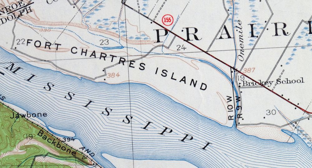
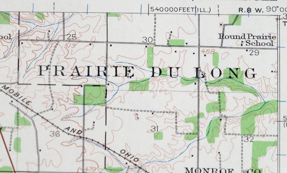
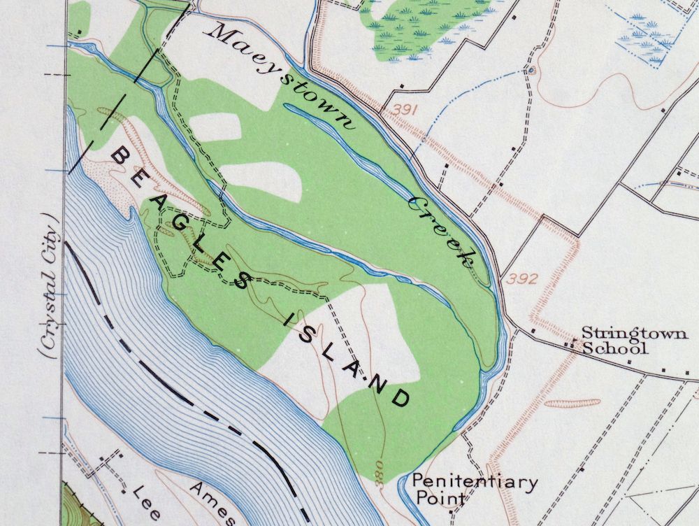
| Illinois Locations: Modoc, Modoc Rock Shelter, Mudds Landing, and Renault Station. Administrative Boundaries: Brewerville Election Precinct, Prairie du Rocher Election Precinct, Precinct 13 Election Precinct, Precinct 23 Election Precinct, and Precinct 9 Election Precinct. Valleys and Canyons: Barbeau Hollow, Burns Hollow, and Morrison Hollow. Parks: Fort Chartres State Park, Illinois Caverns State Natural Area, Maeystown Historic District, and Modoc Rock Shelter National Historic Site. Drainages: Bradley Branch, The Discharge, Dry Fork, Fults Creek, Old Maeystown Creek, Onemile Race Creek, Paint Creek, Prairie Branch, South Fork Horse Creek, and Maeystown Creek. Islands: Beagles Island and Fort Chartres Island. Capes: Penitentiary Point. Churches: Ruma Convent. Lakes and Ponds: Lake Mildred and Wetzler Lake. Dams: Fort Charters Sportsmans Club Lake Dam, Illinois No Name Number 2020 Dam, Lake Emmett Dam, and Lake Mildred Dam. Canals: Fults Creek Ditch. Airports: Our Lady Immaculata Airport. Swamps: Cavanah Lake. Schools: Prairie Du Rocher Elementary School and Saint Patrick School. Reservoirs and Tanks: Fort Charters Sportsmans Club Lake and Lake Emmett. Flats: Prairie Du Rocher. | |
| Missouri Locations: Crook Landing and Whitesand. Mountains, Peaks, and Summits: Jawbone. Valleys and Canyons: Brickeys Hollow, Cambria Hollow, Corn Hollow, Lawrence Hollow, Lower Frenchman Hollow, Magnolia Hollow, Morrison Hollow, Quarry Hollow, Snell Hollow, Staples Hollow, and Wolf Hollow. Drainages: Carpenter Branch, Fourche a Du Clos, Establishment Creek, Frenchman Creek, Isle du Bois Creek, Kinsey Creek, Mud Branch, Prairie du Rocher Creek, and Sugar Bottom Creek. Islands: Establishment Island, Lee Island, Schmidts Island, and Turkey Island. Mines: Government Limestone Quarry. Churches: Saint Philomenas Catholic Church. Dams: Kertz Farms Lake Dam. Schools: Bellville School and Bloomsdale School. Ridges: Backbone. | |
| SHIPPING AND RETURNS | |
 This map sheet will be carefully rolled in a sturdy tube and shipped via the US Postal Service. If you find that the sheet you receive is not as described in the listing, you may ship it back to us for a refund of the purchase price. | |
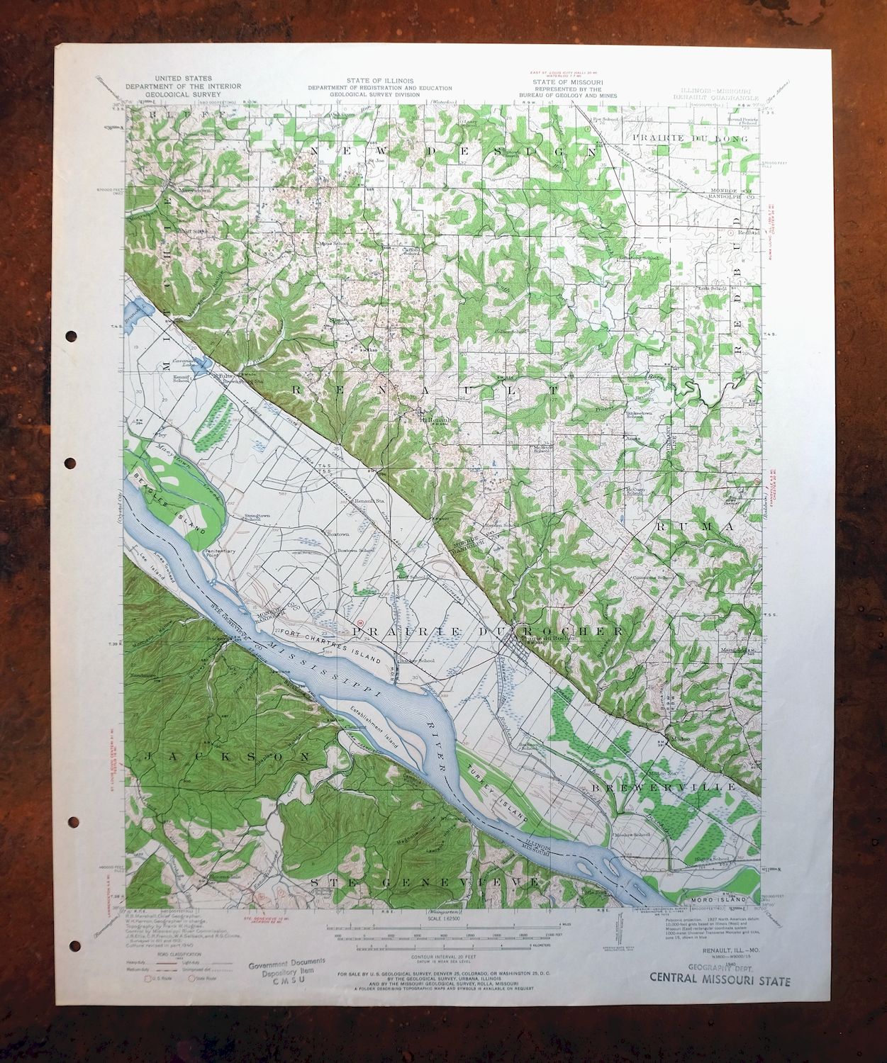
1963 USGS Topo Map: Renault, Bloomsdale, Illinois/Missouri
$56
This 1:62,500-scale topographic map covers the Renault quad along the Mississippi River about 35 miles south of St. Louis, a 1940 edition printed in 1963. The sheet spans the river into both Illinois and Missouri, taking in Ste. Genevieve and Bloomsdale on the Missouri side and Red Bud, Ruma, Maeystown, and Fults in Illinois, with Prairie du Rocher nearby. Based on 1911 and 1913 field survey work, it shows the bottomland farms and bluffs of one of the oldest settled stretches of the Mississippi Valley. Never folded.
In stock
This vintage sheet is a 1940 edition of the Renault Illinois USGS topographic map. It is an original 63-year-old 1963 United States Geological Survey print in very good condition.
HOW THIS MAP CAN BE USED
In addition to making a fascinating conversation piece, this sheet would look great in a frame or on display, make a unique and prized gift for anyone interested in this area, be perfect as a reference for genealogy studies or general historical research, or fill that missing piece in your collection. Maps of this vintage are printed on durable stock and are well-suited for outdoor activities and recreation of all kinds, including hiking, backpacking, hunting, rafting and kayaking, backcountry skiing, geocaching, general exploration, treasure hunting, etc.
FEATURES SHOWN ON THE MAP
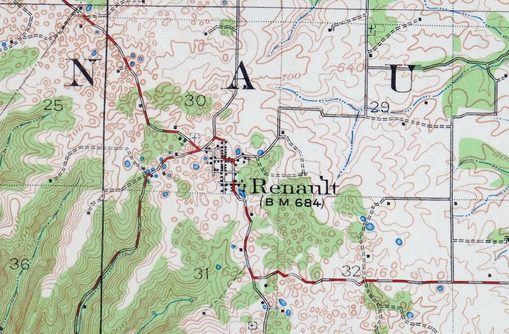
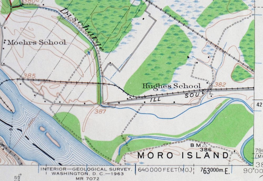
The Renault 15-minute map shows cities and towns, roads, railroads, utilities and energy infrastructure, rivers, creeks, elevation contour lines, public land survey lines, county, state, and other administrative boundaries as they existed at the time of the survey in 1911 and 1913. All known structures (houses, businesses, churches, schools, barns, cabins, etc) are also shown.
A VALUABLE HISTORICAL RECORD
Maps from the 15-minute series for the continental United States are no longer produced or printed by the USGS and original prints are becoming increasingly difficult to find. They are a valuable historical record for an area, as they contain many placenames and features that have been dropped from more recent maps.
Nearby maps
-
Renault Illinois Ste. Genevieve Red Bud USGS Topo Map 1915
$45 Add to cart -

Chester Missouri Perryville Saint Mary USGS Topo Map 1964
$44 Add to cart -
Ironton Missouri Mark Twain NF Pilot Knob USGS Topo Map 1968
$37 Add to cart -
Potosi Missouri Mark Twain NF Caledonia USGS Topo Map 1906
$78 Add to cart -
Carlyle Illinois Beckemeyer Huey USGS Topographic Map 1910
$40 Add to cart -
Jonesboro Illinois Cape Girardeau Anna USGS Topo Map 1963
$42 Add to cart -

Cahokia Illinois St. Louis Dupo USGS Topographic Map 1975
$50 Add to cart -

Granite City Illinois St. Louis Jennings USGS Topo Map 1982
$48 Add to cart -
Florissant Missouri Hazelwood Ferguson USGS Topo Map 1982
$38 Add to cart -
Alton Illinois Godfrey East Alton USGS Topographic Map 1986
$37 Add to cart -
Bethalto Illinois Alton Wood River USGS Topographic Map 1977
$43 Add to cart -

Sullivan Missouri Mark Twain NF Union USGS Topo Map 1916
$42 Add to cart -
Pleasant Mound Illinois Tamalco USGS Topographic Map 1977
$28 Add to cart -

Hardin Illinois Fieldon Batchtown USGS Topo Map 1964 Vintage
$42 Add to cart -
Patoka Illinois Vernon Shobonier USGS Topo Map 1977 Vintage
$32 Add to cart -

Cairo Illinois Mounds Barlow USGS Topo Map 1964 Vintage
$41 Add to cart -

Pearl Illinois Kampsville Eldred USGS Topo Map 1956 Vintage
$40 Add to cart -
Raymond Illinois Farmersville Waggoner USGS Topo Map 1925
$46 Add to cart -

Effingham Illinois Altamont Watson USGS Topographic Map 1964
$50 Add to cart -
New Haven Illinois Ridgway Herald USGS Topo Map 1920 Antique
$55 Add to cart -
Springfield East Illinois Sherman USGS Topo Map 1973 Vintage
$32 Add to cart -

Quincy Illinois Hannibal Payson USGS Topo Map 1962 Vintage
$43 Add to cart -
Birds Illinois Flat Rock Robinson USGS Topographic Map 1917
$68 Add to cart -
Colchester Illinois Plymouth Tennessee USGS Topo Map 1913
$25 Add to cart