MAP DETAILS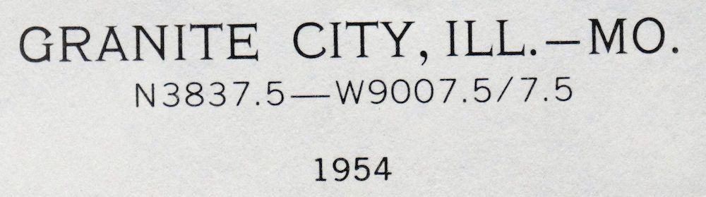 | |
|---|---|
| TITLE | Granite City |
| STATE | Illinois, Missouri |
| LOCATION | Vicinity of St. Louis |
| SERIES | 7.5-minute |
| SURVEYED | 1930 through 1954 Aerial and Field Survey |
| EDITION | 1954 |
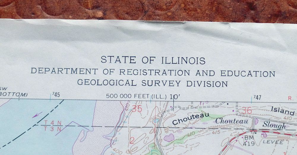
| REVISIONS | Photo revision in 1982 is shown in purple. |
| PRINTED | 1982 |
| PRINT NOTES | Thick paper stock, includes woodland tint (green to indicate vegetated areas). A reddish tint is used to indicate urban areas where only landmark buildings are shown. |
| SCALE | 1:24000 |
| CONTOUR INTERVAL | 10 feet |
| SHEET DIMENSIONS | 22 x 27 inches |
| MAP DIMENSIONS | 17 3/4 x 22 3/4 inches |
| COVERAGE AREA | 7 x 9 miles |
| SHEET CONDITION For maps of this vintage, effort is made to note all visible flaws, no matter how minor. | |
| OVERALL CONDITION | Very Good |
| SHEET NOTES | lightly handled, never folded |
| MAP AREA | flawless map area |
| COLLARS | very minor wear or tears, no markings, very minor blemishes |
 | |
| MAP COVERAGE Quadrangle extent overlaid on current basemap. | |
| PLACENAMES Depending on map series and survey date, all of the features listed below may not be shown on this map. This list contains features that currently exist or historically existed within the area covered by the map. The list can be used as a reference to determine if this map covers your area of interest. Placenames are listed alphabetically next to each feature type. | |
| CITIES AND TOWNS (CURRENT) | Bellefontaine Neighbors, Brooklyn, East St. Louis, Fairmont City, Granite City, Jennings, Madison, Moline Acres, National City, Riverview, Saint Louis, St. Louis, and Venice |
| COUNTIES COVERED | Madison, St. Clair, St. Louis, and St. Louis City |
| FEDERAL LAND UNITS | Charles Melvin Price Support Center |
| RIVERS AND STREAMS | Chain Of Rocks Canal, Judys Branch, Maline Creek, and Mississippi River |
| WATER BODIES | Horseshoe Lake |
| Illinois Locations: National Stock Yards. Administrative Boundaries: Township of Granite City, Township of Stites, and Township of Venice. Parks: Lee Park and Wilson Park. Drainages: Schoenberger Creek. Islands: Gabaret Island and Mosenthein Island. Churches: Apostolic Christian Church, Apostolic Pentecostal Church, Armenian Apostolic Church, Bethel Chapel Pentecostal Church, Bnai Brith Synagogue, Bulgarian Orthodox Church, Central Free Methodist Church, Church of Christ, City Temple Church, Concordia Evangelical Lutheran Church, Dewey Avenue United Methodist Church, Fire Assembly of God Church, First Baptist Church, First Church of Christ Scientist, First Methodist Church, First Presbyterian Church, First United Presbyterian Church, Friendship Baptist Church, Grace Baptist Church, Graceland General Baptist Church, Lincoln Place Community Mission, Mount Zion General Baptist Church, Nazarene Church, Neidringhaus United Methodist Church, Pentecostal Church of God, Sacred Heart Roman Catholic Church, Saint Bartholomew Episcopal Church, Saint Joseph Roman Catholic Church, Saint Marks Roman Catholic Church, Saint Marys Greek Catholic Church, Saint Marys Russian Orthodox Church, Saint Peters Evangelical and Reformed Church, Second Baptist Church, Third Baptist Church, Tri-City Park Tabernacle, Trinity United Methodist Church, United Pentecostal Church, Victory Worship Center, and West Twentysecond Street Baptist Church. Harbors: Bi-State Development Agency Harbor. Hospitals: Saint Elizabeth Medical Center. Buildings: Fire Station Number 1, Granite City City Hall, Granite City Public Library, Lincoln Place Community House, Madison City Hall, Madison Memorial Center, Madison Public Library, Venice City Hall, and Venice Public Library. Levees: Chouteau Nameoki and Venice Levee and Eastside Levee and Sanitary District Levee. Dams: Lock Number 27. Crossings: Interchange 2, Interchange 2A, Interchange 3, and Interchange 4. Channels: Gabaret Slough and Mosenthein Chute. Canals: Granite City Sewer Canal. Bridges: Eads Bridge, Martin Luther King Junior Memorial Bridge, McKinley Bridge, and Merchants Bridge. Airports: Saint Louis Area Support Center Heliport. Schools: Coolidge Middle School, Granite City High School, Harris Elementary School, Hughes-Quinn/Rock Junior High School, Lincoln High School, Lovejoy High School, Madison Middle School, Madison Senior High School, Miles D Davis Elementary School, Niedringhaus Elementary School, Prather Elementary School, Sacred Heart School, Saint Mark School, Saint Marys School, Venice Elementary School, and Venice High School. Flats: Kerr Island. | |
| Missouri Locations: Johns Creek Lodge, Saint Louis Centre, and Union Station. Administrative Boundaries: Township of Saint Ferdinand and City of Saint Louis. Mountains, Peaks, and Summits: Big Mound. Parks: Busche Park, Columbus Square Park, DeSoto Park, Fairground Park, Hickey Park, Hyde Park, Lucas Gardens, Murphy Park, O'Fallon Park, Penrose Park, Pickett Playground, Rumbold Park, Saint Louis Park, Tandy Park, and Washington Park. Drainages: Maline Creek. Churches: Church of the Holy Communion, All Saints Church, Centenary Church, Eden Church, Giddings Memorial Church, Greely Memorial Church, Holy Cross Church, Holy Ghost Church, Immanuel Church, Masonic Temple, Nativity of Our Lord Church, Our Lady of Mount Carmel Church, Our Lady of Perpetual Succor Church, Sacred Heart Church, Saint Alphonsus Church, Saint Ann Church, Saint Augustine Church, Saint Bridget of Erin Church, Saint Engelbert Church, Saint Georges Chapel, Saint Jacobs Church, Saint James Church, Saint Joseph Church, Saint Lawrence O'Toole Church, Saint Leo Church, Saint Liborius Church, Saint Matthews Church, Saint Pauls Church, Saint Stanislaus Church, Salem Church, Union Church, Visitation Church, and Zions Church. Hospitals: Christian Hospital and Homer G Phillips Hospital. Channels: Mosenthein Chute. Bridges: Eads Bridge, McKinley Bridge, and Merchants Bridge. Airports: Fostaire Heliport, Saint Louis Downtown Heliport, and Veterans Administration Medical Center Heliport. Schools: Ashland School, Baden School, Bates School, Beaumont High School, Blair School, Bryan Hill School, Carr School, Central High School, Clay School, Columbia School, Cote Brilliante School, Curtis School, De Andreis High School, Eliot School, Farragut School, Gibson School, Glasgow School, Hadley Technical High School, Henry School, Irving School, Lowell School, Mark Twain School, Marquette School, Ranken School of Mechanical Trades, Riddick School, Saint Louis University, Saint Marys School, Scullen School, Simmons School, Sumner High School, Turner School, Vashon High School, Washington Technical High School, Webster School, and West Belle School. Towers: KBDY-FM (St Louis), KEZK-FM (St Louis), and KYKY-FM (St Louis). | |
| SHIPPING AND RETURNS | |
 This map sheet will be carefully rolled in a sturdy tube and shipped via the US Postal Service. If you find that the sheet you receive is not as described in the listing, you may ship it back to us for a refund of the purchase price. | |
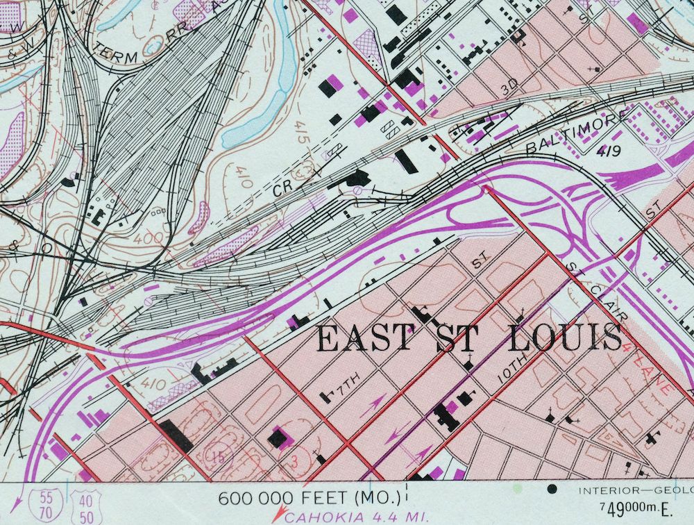
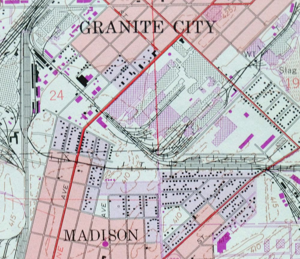
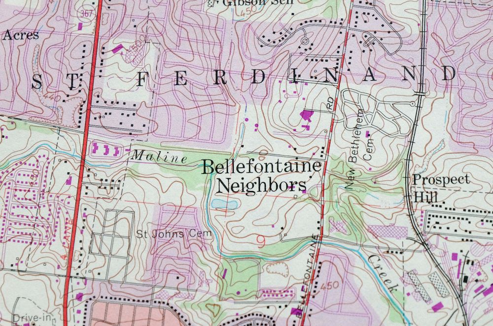
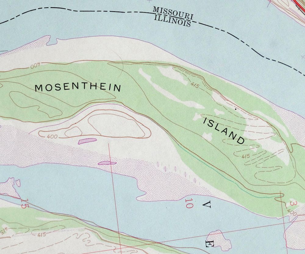
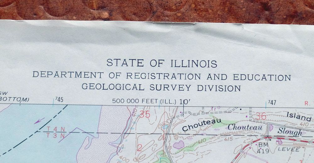
Granite City Illinois St. Louis Jennings USGS Topo Map 1982
$48
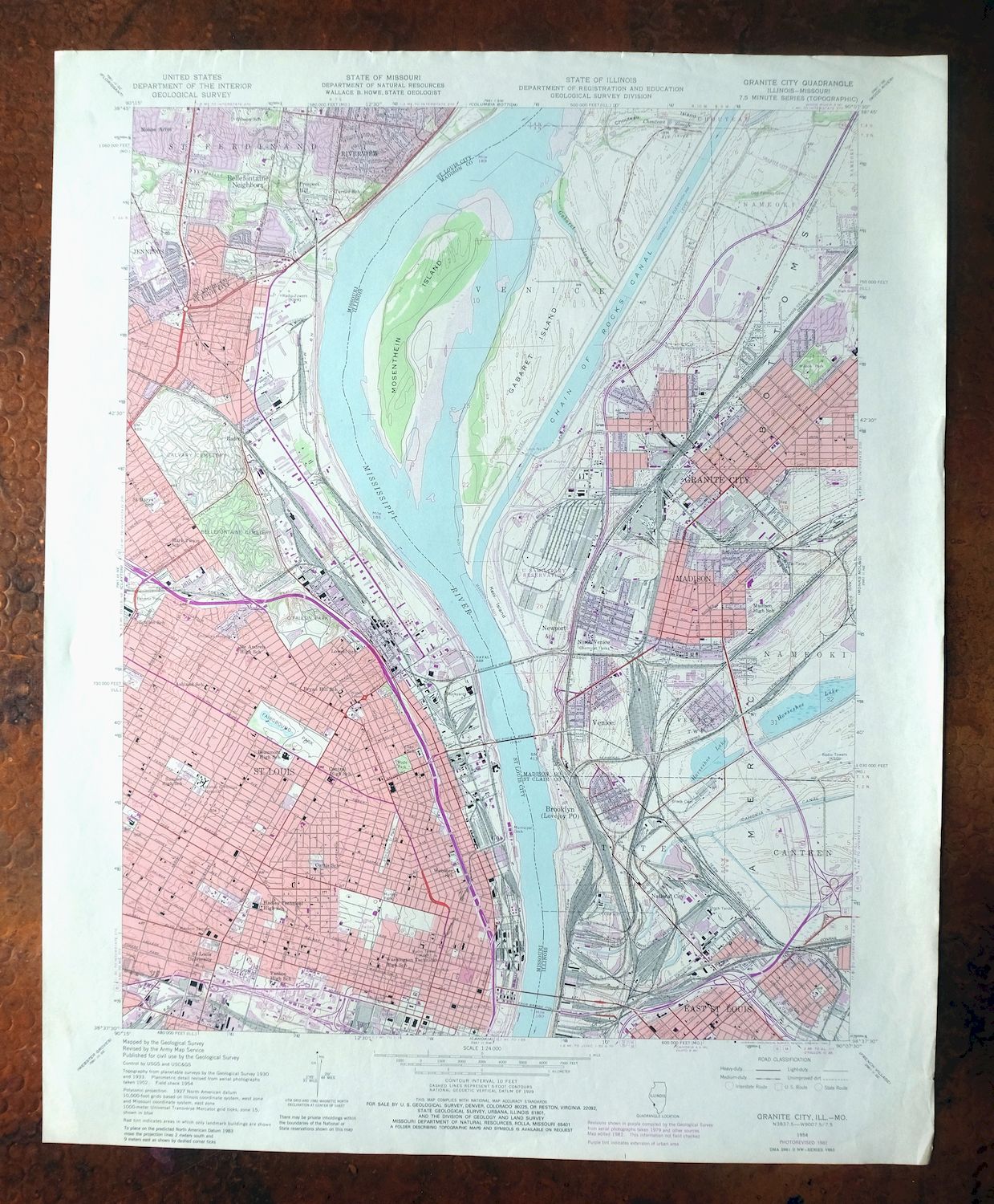
This USGS 7.5-minute topographic map is a 1954 edition carrying 1982 photorevisions and printed in 1982, in very good condition on thick stock and never folded, with a flawless map area. Straddling the Illinois-Missouri line just outside St. Louis, the quad area takes in Granite City, Madison, Venice, and Fairmont City on the Illinois side and part of northern St. Louis across the Mississippi. The 1982 revisions record this industrial stretch of the river as it stood in the early 1980s, and the clean, unfolded sheet on heavy paper is ready for framing.
In stock
This vintage sheet is a 1954 edition of the Granite City Illinois USGS topographic map revised in 1982 using aerial photography. It is an original 44-year-old 1982 United States Geological Survey print in very good condition.
HOW THIS MAP CAN BE USED
In addition to making a fascinating conversation piece, this sheet would look great in a frame or on display, make a unique and prized gift for anyone interested in this area, be perfect as a reference for genealogy studies or general historical research, or fill that missing piece in your collection. Maps of this vintage are printed on durable stock and are well-suited for outdoor activities and recreation of all kinds, including hiking, backpacking, hunting, rafting and kayaking, backcountry skiing, geocaching, general exploration, treasure hunting, etc.
FEATURES SHOWN ON THE MAP
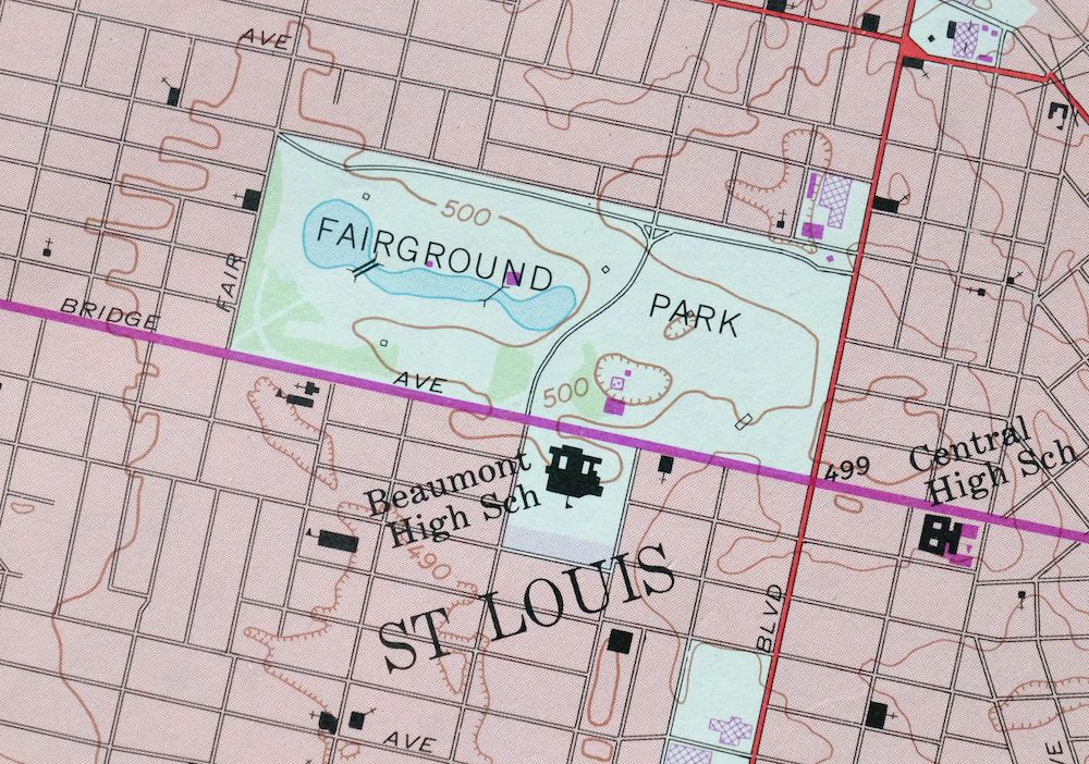
The Granite City 7.5-minute map shows cities and towns, roads, paths, railroads, utilities and energy infrastructure, rivers, creeks, elevation contour lines, public land survey lines, county, state, and other administrative boundaries as they existed at the time of the survey in 1930 through 1954. A reddish tint is used on this sheet to indicate urban areas where only landmark buildings are depicted. Outside of those areas, all known structures (houses, businesses, churches, schools, barns, cabins, etc) are shown.
A VALUABLE HISTORICAL RECORD
This map is from the 7.5-minute series, the most detailed series that is widely available from the USGS. The 1954 Granite City map is a valuable historical record for the area. It contains some placenames and features that have been dropped from more recent maps.
The map was photorevised in 1982. Any features that changed or were added between the original edition year of 1954 and the photorevision year of 1982 are overlayed in purple. The purple overlay provides an excellent view of the fast-growing and changing areas within the quad boundary.
Nearby maps
-

Cahokia Illinois St. Louis Dupo USGS Topographic Map 1975
$50 Add to cart -
Florissant Missouri Hazelwood Ferguson USGS Topo Map 1982
$38 Add to cart -
Alton Illinois Godfrey East Alton USGS Topographic Map 1986
$37 Add to cart -
Bethalto Illinois Alton Wood River USGS Topographic Map 1977
$43 Add to cart -

Hardin Illinois Fieldon Batchtown USGS Topo Map 1964 Vintage
$42 Add to cart -
Renault Illinois Ste. Genevieve Red Bud USGS Topo Map 1915
$45 Add to cart -
Carlyle Illinois Beckemeyer Huey USGS Topographic Map 1910
$40 Add to cart -
Pleasant Mound Illinois Tamalco USGS Topographic Map 1977
$28 Add to cart -

Pearl Illinois Kampsville Eldred USGS Topo Map 1956 Vintage
$40 Add to cart -
Raymond Illinois Farmersville Waggoner USGS Topo Map 1925
$46 Add to cart -

Chester Missouri Perryville Saint Mary USGS Topo Map 1964
$44 Add to cart -
Patoka Illinois Vernon Shobonier USGS Topo Map 1977 Vintage
$32 Add to cart -

Sullivan Missouri Mark Twain NF Union USGS Topo Map 1916
$42 Add to cart -
Potosi Missouri Mark Twain NF Caledonia USGS Topo Map 1906
$55 Add to cart -
Ironton Missouri Mark Twain NF Pilot Knob USGS Topo Map 1968
$37 Add to cart -
Springfield East Illinois Sherman USGS Topo Map 1973 Vintage
$32 Add to cart -

Effingham Illinois Altamont Watson USGS Topographic Map 1964
$50 Add to cart -

Jonesboro Illinois Cape Girardeau Anna USGS Topo Map 1963
$42 Add to cart -

Quincy Illinois Hannibal Payson USGS Topo Map 1962 Vintage
$43 Add to cart -
Colchester Illinois Plymouth Tennessee USGS Topo Map 1913
$25 Add to cart -

Cairo Illinois Mounds Barlow USGS Topo Map 1964 Vintage
$41 Add to cart -

New Haven Illinois Ridgway Herald USGS Topo Map 1920 Antique
$24 Add to cart -
New Haven Illinois Ridgway Herald USGS Topo Map 1920 Antique
$38 Add to cart -
La Harpe Illinois Stronghurst Raritan USGS Topo Map 1918
$49 Add to cart
