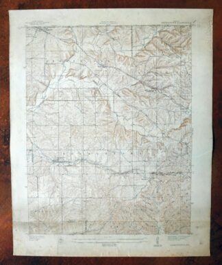
MAP DETAILS | |
|---|---|
| TITLE | Georgetown |
| STATE | Indiana |
| LOCATION | 11 miles west of Louisville, KY |
| SERIES | 7.5-minute |
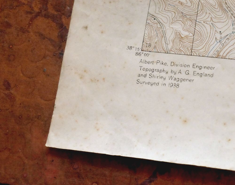
| SURVEYED | 1938 Field Survey |
| GEOGRAPHER | Albert Pike |
| EDITION | 1939 |
| PRINTED | 1939 |
| PRINT NOTES | Thick paper stock |
| SCALE | 1:24000 |
| CONTOUR INTERVAL | 10 feet |
| SHEET DIMENSIONS | 22 x 27 inches |
| MAP DIMENSIONS | 17 7/8 x 22 3/4 inches |
| COVERAGE AREA | 7 x 9 miles |
| SHEET CONDITION For maps of this vintage, effort is made to note all visible flaws, no matter how minor. | |
| OVERALL CONDITION | Good |
| SHEET NOTES | moderately handled, never folded, band of age discoloration along bottom of sheet |
| MAP AREA | no wear, no markings, minor blemishes |
| COLLARS | no wear or tears, no markings, scattered blemishes and smudges in collars |
 | |
| MAP COVERAGE Quadrangle extent overlaid on current basemap. | |
| PLACENAMES Depending on map series and survey date, all of the features listed below may not be shown on this map. This list contains features that currently exist or historically existed within the area covered by the map. The list can be used as a reference to determine if this map covers your area of interest. Placenames are listed alphabetically next to each feature type. | |
| CITIES AND TOWNS (CURRENT) | Galena, Georgetown, and Greenville |
| COUNTIES COVERED | Floyd and Harrison |
| RIVERS AND STREAMS | French Creek, Georgetown Creek, Indian Creek, Jersey Park Creek, Knob Creek, Lazy Creek, Little Indian Creek, Middle Fork Indian Creek, and Yellow Fork |
| WATER BODIES | Brazils Lake, Floyds Knobs Lake, Georgetown Lake, and Mount Saint Frances Lake |
| Administrative Boundaries: Township of Georgetown, Township of Greenville, and Township of Lafayette. Mountain Ranges: Silver Hills. Valleys and Canyons: Als Hollow, Cave Hollow, and Logan Hollow. Parks: Cedar Brook Camp and Pleasant Valley Camp. Drainages: Middle Fork Indian Creek, Jersey Park Creek, Little Indian Creek, and Yellow Fork. Churches: Highland Church and Tunnel Hill Church. Dams: Brazils Lake Dam, Floyds Knobs Lake Dam, Georgetown Reservoir Dam, and Mount Saint Frances Lake Dam. Crossings: Interchange 117 and Interchange 119. Schools: Galena Elementary School, Jerusalem School, and Mount Saint Francis Seminary. Ridges: Bell Ridge, Hickory Ridge, Hitner Ridge, Keith Ridge, Musty Ridge, Pear Ridge, Pond Ridge, Skipsey Ridge, Ulmer Ridge, and Wheeler Ridge. Reservoirs and Tanks: Brazils Lake, Floyds Knobs Lake, Georgetown Lake, and Mount Saint Frances Lake. | |
| SHIPPING AND RETURNS | |
 This map sheet will be carefully rolled in a sturdy tube and shipped via the US Postal Service. If you find that the sheet you receive is not as described in the listing, you may ship it back to us for a refund of the purchase price. | |
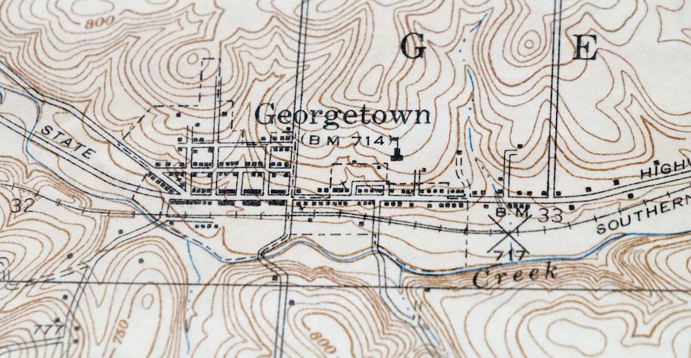
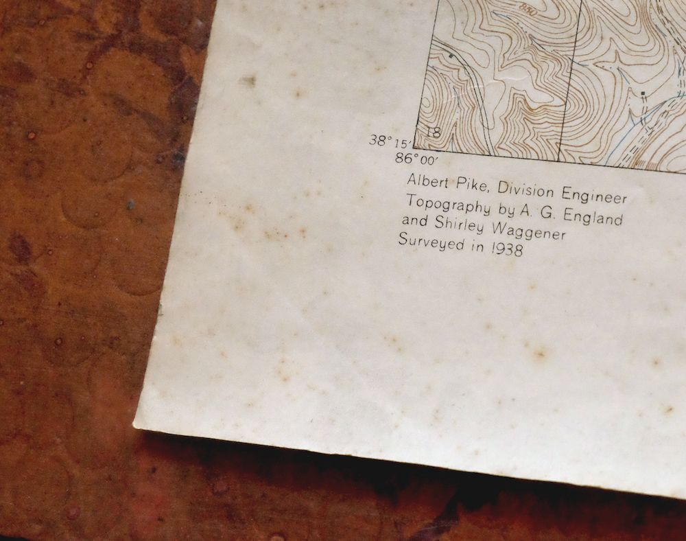
Georgetown Indiana Galena Greenville USGS Topo Map 1939
$27
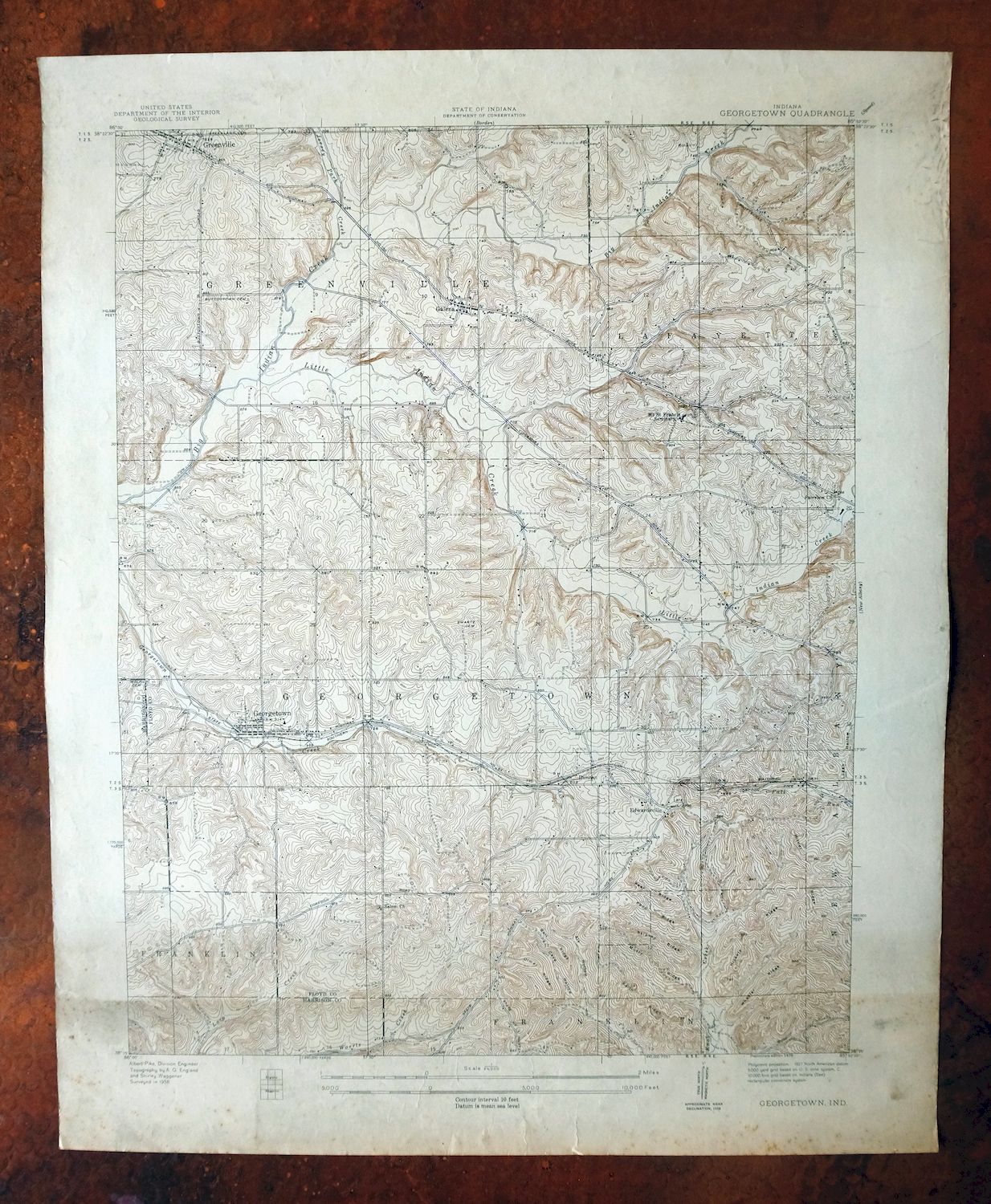
This Georgetown sheet is a USGS topographic map from 1939, a first-year print of that edition drawn at 1:24,000 from a 1938 field survey credited to geographer Albert Pike. It covers a stretch of southern Indiana in Floyd and Harrison counties, including the towns of Georgetown, Galena, and Greenville, about 11 miles west of Louisville. Printed on thick stock and never folded, the sheet is in good condition, with a band of discoloration along the bottom and no wear or markings in the mapped area itself.
In stock
This antique sheet is a 1939 edition of the Georgetown Indiana USGS topographic map. It is an authentic 87-year-old United States Geological Survey print in good condition.
HOW THIS MAP CAN BE USED
In addition to making a fascinating conversation piece, this sheet would look great in a frame or on display, make a unique and prized gift for anyone interested in this area, be perfect as a reference for genealogy studies or general historical research, or fill that missing piece in your collection.
FEATURES SHOWN ON THE MAP
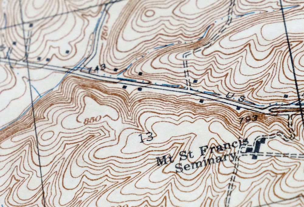
The Georgetown 7.5-minute map shows cities and towns, roads, paths, railroads, rivers, creeks, elevation contour lines, public land survey lines, county, state, and other administrative boundaries as they existed at the time of the survey in 1938. All known structures (houses, businesses, churches, schools, barns, cabins, etc) are also shown, with exceptions in some urban areas, where only landmark buildings may be shown.
A VALUABLE HISTORICAL RECORD
This map is from the 7.5-minute series, the most detailed series that is widely available from the USGS. The 1939 Georgetown map is a valuable historical record for the area. It contains some placenames and features that have been dropped from more recent maps.
Nearby maps
-
Georgetown Indiana Galena Greenville USGS Topo Map 1947
$32 Add to cart -

Speed Indiana Clarksville Memphis USGS Topographic Map 1947
$27 Add to cart -
Birds Illinois Flat Rock Robinson USGS Topographic Map 1917
$68 Add to cart -
New Haven Illinois Ridgway Herald USGS Topo Map 1920 Antique
$55 Add to cart -
Seaman Ohio West Union West Union USGS Topo Map 1918 Antique
$62 Add to cart -
Manchester Kentucky Booneville McKee USGS Topo Map 1917
$51 Add to cart -
Xenia Ohio Cedarville Jamestown USGS Topographic Map 1934
$43 Add to cart -

Goodlettsville Tennessee Lakewood USGS Topographic Map 1953
$41 Add to cart -
1971 USGS Topo Map: Goodlettsville, Old Hickory, Tennessee
$49 Add to cart -
Sabina Ohio Leesburg New Vienna USGS Topo Map 1917 Antique
$42 Add to cart -
Dayton Ohio Beavercreek Fairborn USGS Topographic Map 1956
$42 Add to cart -
Cookeville West Tennessee Westgate Baxter USGS Topo Map 1975
$42 Add to cart -
Salyersville Kentucky West Liberty Zag USGS Topo Map 1918
$47 Add to cart -
Nashville East Tennessee Lakewood USGS Topo Map 1959 Vintage
$40 Add to cart -
1971 Nashville East Tennessee USGS Topo Map: Lakewood
$48 Add to cart -
Garrison Kentucky Portsmouth York USGS Topo Map 1918 Antique
$32 Add to cart -

Octa Ohio Sabina Jamestown USGS 15-Min Topo Map 1916 Antique
$46 Add to cart -

Nashville West Tennessee Whitebridge USGS Topo Map 1971
$42 Add to cart -

Effingham Illinois Altamont Watson USGS Topographic Map 1964
$50 Add to cart -
Antioch Tennessee Brentwood USGS Topographic Map 1971
$48 Add to cart -

South Charleston Ohio Springfield Catawba USGS Topo Map 1927
$50 Add to cart -
Mount Sterling Ohio Washington Midway USGS Topo Map 1925
$42 Add to cart -
Walterhill Tennessee Murfreesboro Smyrna USGS Topo Map 1984
$27 Add to cart -
Patoka Illinois Vernon Shobonier USGS Topo Map 1977 Vintage
$32 Add to cart