MAP DETAILS | |
|---|---|
| TITLE | Lake |
| STATE | Wyoming |
| LOCATION | Yellowstone National Park, 60 miles northeast of Jackson |
| SERIES | 30-minute |
| SURVEYED | 1885 Field Survey |
| GEOGRAPHER | Henry Gannett |
| EDITION | 1911 |
| REVISIONS | 1910 |
| PRINTED | 1922 |
| SCALE | 1:125000 |
| CONTOUR INTERVAL | 100 feet |
| SHEET DIMENSIONS | 14 x 19 1/2 inches |
| MAP DIMENSIONS | 12 1/2 x 17 1/2 inches |
| COVERAGE AREA | 25 x 35 miles |
| MAP NOTES | This rare canvas-backed sheet is extraordinarily durable; the folding panel setup is ideal for historical study and would look excellent framed, with a folded size of 7 by 10 inches. |
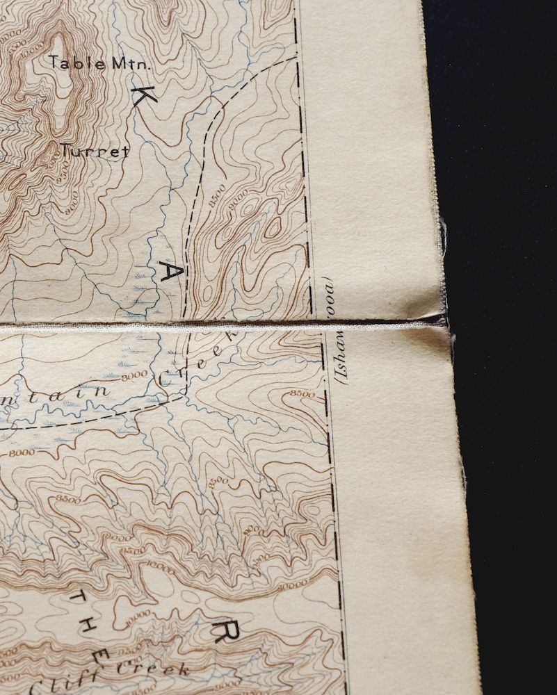
| SHEET CONDITION For maps of this vintage, effort is made to note all visible flaws, no matter how minor. | |
| OVERALL CONDITION | Good |
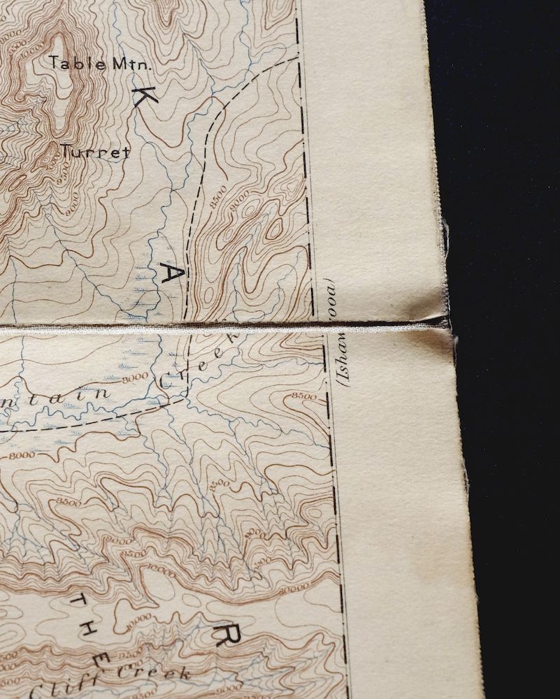
| SHEET NOTES | lightly handled, publisher folds, has original canvas-backing, nicely age-toned sheet, blemishes on canvas side of sheet |
| MAP AREA | minor wear, no markings, minor blemishes |
| COLLARS | no wear or tears, no markings, minor blemishes |
 | |
| MAP COVERAGE Quadrangle extent overlaid on current basemap. | |
| PLACENAMES Depending on map series and survey date, all of the features listed below may not be shown on this map. This list contains features that currently exist or historically existed within the area covered by the map. The list can be used as a reference to determine if this map covers your area of interest. Placenames are listed alphabetically next to each feature type. | |
| COUNTIES COVERED | Fremont, Park, and Teton |
| FEDERAL LAND UNITS | North Absaroka Wilderness, Shoshone National Forest, Teton National Forest, Teton Wilderness, Washakie Wilderness, and Yellowstone National Park |
| RIVERS AND STREAMS | Atlantic Creek, Badger Creek, Beaverdam Creek, Burnt Creek, Cabin Creek, Camp Creek, Canfield Creek, Castle Creek, Clear Creek, Cliff Creek, Columbine Creek, Coulter Creek, Coyote Creek, Crooked Creek, Crouch Creek, Cub Creek, Daniels Creek, Eagle Creek, East Fork Pilgrim Creek, Elk Creek, Ermine Creek, Escarpment Creek, Evermann Creek, Falcon Creek, Gravel Creek, Grouse Creek, Heart River, Howell Creek, Jay Creek, Lynx Creek, Meadow Creek, Middle Creek, Mink Creek, Mountain Creek, North Two Ocean Creek, Pacific Creek, Passage Creek, Pilgrim Creek, Rocky Creek, Senecio Creek, Sickle Creek, Snake River, Snowslide Creek, Solution Creek, Thorofare Creek, Trail Creek, Trappers Creek, Weasel Creek, Whetstone Creek, Wolverine Creek, and Yellowstone River |
| WATER BODIES | Alder Lake, Bridger Lake, Delusion Lake, Heart Lake, Sylvan Lake, Trail Lake, and Yellowstone Lake |
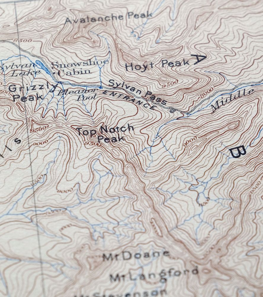
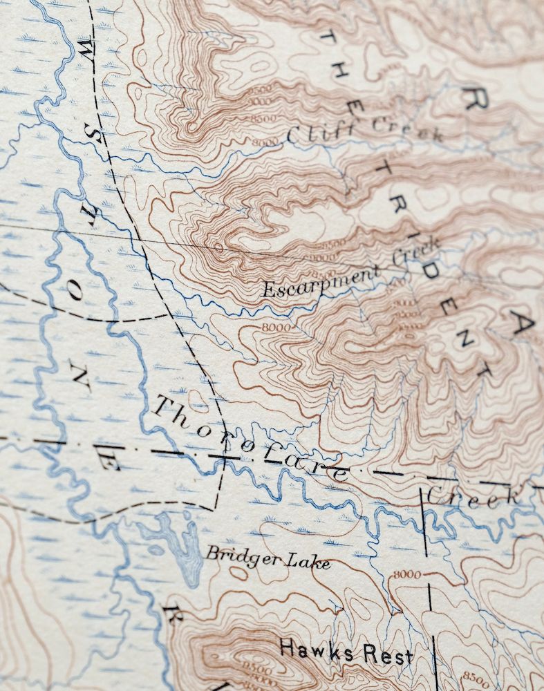
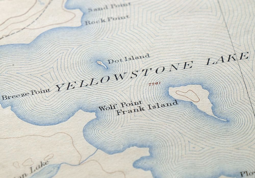
| Locations: Cabin Creek Patrol Cabin, Langford Cairn, East Entrance Ranger Station, Fox Creek Patrol Cabin, Fox Park Patrol Cabin, Gravel Creek Patrol Cabin, Harebell Creek Patrol Cabin, Hawks Rest Patrol Cabin, Heart Lake Patrol Cabin, Monument Cairn, Park Point Patrol Cabin, Parting of the Waters Natural Landmark, Thorofare Ranger Station, and Trail Creek Patrol Cabin. Areas: Trident Plateau and Two Ocean Plateau. Mountain Ranges: The Trident. Mountains, Peaks, and Summits: Barlow Peak, Arthur Peak, Atkins Peak, Avalanche Peak, Channel Mountain, Colter Peak, Langford Cairn, Mount Langford, Mount Doane, Eagle Peak, Flat Mountain, Gravel Peak, Grizzly Peak, Mount Hancock, Hawks Rest, Hoyt Peak, Mount Humphreys, Overlook Mountain, Pinyon Peak, Plenty Coups Peak, Reservation Peak, Mount Schurz, Mount Stevenson, Table Mountain, Top Notch Peak, and Turret Mountain. Parks: Teton Wilderness. Trails: Big Game Ridge Cutoff Trail, Clear Creek Trail, Coulter Creek Tail, Coulter-Wolverine Cutoff Trail, Heart Lake Trail, Mink Creek Cutoff Trail, Mountain Creek Trail, Snake River Trail, Thorofare Trail, Trail Creek Trail, Two Ocean Plateau Trail, West Cutoff Trail, and Yellowstone Trail. Drainages: Alluvium Creek, Atlantic Creek, Badger Creek, Basin Creek, Beaver Creek, Beaverdam Creek, Burnt Creek, Cabin Creek, Camp Creek, Castle Creek, Chipmunk Creek, Clear Creek, Cliff Creek, Columbine Creek, Daniels Creek, Crooked Creek, Cub Creek, Elk Creek, Ermine Creek, Escarpment Creek, Evermann Creek, Falcon Creek, Fox Creek, Grouse Creek, Heart River, Howell Creek, Jay Creek, Lynx Creek, Meadow Creek, Mink Creek, Mountain Creek, North Two Ocean Creek, Outlet Creek, Passage Creek, Phlox Creek, Plateau Creek, Rocky Creek, Senecio Creek, Sickle Creek, Snowslide Creek, Solution Creek, South Two Ocean Creek, Surprise Creek, Third Creek, Thorofare Creek, Trail Creek, Trappers Creek, Weasel Creek, Witch Creek, and Wolverine Creek. Islands: Dot Island, Frank Island, Molly Island, Molly Islands, and Peale Island. Capes: Breeze Point and Terrace Point. Lakes and Ponds: Alder Lake, Bridger Lake, Delusion Lake, Eleanor Lake, Emerald Lake, Gravel Lake, Heart Lake, Mariposa Lake, Outlet Lake, Sylvan Lake, Trail Lake, Tri-county Lake, and Yellowstone Lake. Waterfalls: Plateau Falls. Bluffs: Elk Point, Park Point, Plover Point, Rock Point, Sand Point, Signal Point, Snipe Point, Terrace Point, and Wolf Point. Gaps: Eagle Pass, Phelps Pass, Sylvan Pass, and Two Ocean Pass. Canals: Cowdell Waste Water Ditch. Bays: Eagle Bay, Flat Mountain Arm, South Arm, and Southeast Arm. Basins: Brimstone Basin. Ridges: Big Game Ridge, Bobcat Ridge, Chicken Ridge, The Promontory, Signal Hills, The Trident, and Yellowstone Point. Flats: Fox Park Flat. | |
| SHIPPING AND RETURNS | |
| This map sheet will be shipped folded in a padded mailer via the US Postal Service. If you find that the sheet you receive is not as described in the listing, you may ship it back to us for a refund of the purchase price. | |

Lake Wyoming Antique USGS Topographic Map 1922
$78
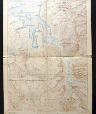
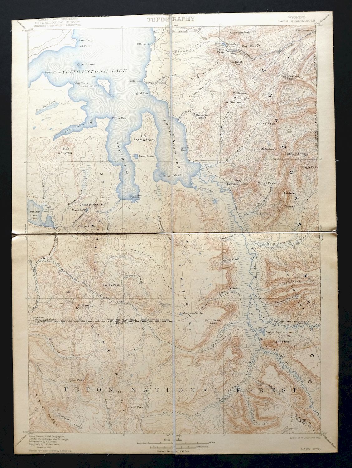
This USGS 30-minute topographic map is a 1911 edition printed in 1922, in good condition on an original canvas-backed sheet that is lightly handled and nicely age-toned, with publisher folds. Covering roughly 25 by 35 miles in the heart of Yellowstone National Park, the quad area takes in parts of the Teton and Washakie Wildernesses along with Shoshone and Teton National Forests across Fremont, Park, and Teton Counties. Surveyed in 1885 under geographer Henry Gannett, this rare canvas-backed sheet is extraordinarily durable; the folding panel setup is ideal for historical study and would look excellent framed, with a folded size of 7 by 10 inches.
In stock
This antique sheet is a 1911 edition of the Lake Wyoming USGS topographic map. It is an authentic 104-year-old 1922 United States Geological Survey print in good condition.
HOW THIS MAP CAN BE USED
In addition to making a fascinating conversation piece, this sheet would look great in a frame or on display, make a unique and prized gift for anyone interested in this area, be perfect as a reference for genealogy studies or general historical research, or fill that missing piece in your collection.
FEATURES SHOWN ON THE MAP
The Lake 30-minute map shows cities and towns, roads, railroads, rivers, creeks, elevation contour lines, public land survey lines, county, state, and other administrative boundaries as they existed at the time of the survey in 1885.
A VALUABLE HISTORICAL RECORD
Maps from the USGS 30-minute series have been out of print for many years. They have never been common and original prints are increasingly difficult to find. For areas where the 30-minute map was produced, it is usually the first large-scale survey done by the USGS for that area. These are a valuable historical record, as they contain many placenames and features that have been dropped from more recent series’ and editions.
Nearby maps
-

Big Timber Montana Reed Point Reed Point USGS Topo Map 1910
$48 Add to cart -
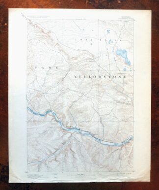
Stillwater Montana Hailstone NWR Columbus USGS Topo Map 1932
$47 Add to cart -

Sunlight Peak Wyoming Pahaska Tepee USGS Topo Map 1980
$36 Add to cart -

Tower Junction Wyoming USGS 15-Min Topo Map 1984 Vintage
$40 Add to cart -

Mount Holmes Wyoming USGS 15-Min Topo Map 1979 Vintage
$39 Add to cart -

Tepee Creek Montana Grayling USGS Topo Map 1963 Vintage
$35 Add to cart -
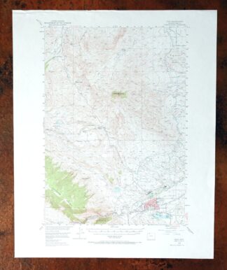
Cody Wyoming USGS 15-Min Topographic Map 1969 Vintage
$38 Add to cart -

Miner Montana Gardiner Corwin Springs USGS Topo Map 1983
$36 Add to cart -

Crown Butte Montana Yellowstone NP USGS 15-Min Topo Map 1979
$40 Add to cart -

Mount Cowen Montana Absaroka Range USGS 15-Min Topo Map 1963
$43 Add to cart -
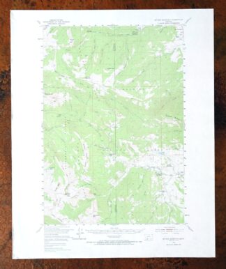
Sphinx Mountain Montana Big Sky USGS Topo Map 1968 Vintage
$40 Add to cart -
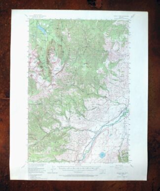
Fridley Peak Montana USGS 15-Min Topo Map 1972 Vintage
$50 Add to cart -
Monument Ridge Montana USGS 15-Min Topo Map 1975 Vintage
$38 Add to cart -

Spanish Peaks Montana Big Sky USGS Topo Map 1973 Vintage
$37 Add to cart -
Bozeman Pass Montana USGS 15-Min Topo Map 1978 Vintage
$42 Add to cart -

Ennis Montana McAllister Jeffers USGS Topo Map 1969 Vintage
$38 Add to cart -

Sedan Montana USGS 15-Min Topographic Map 1956 Vintage
$38 Add to cart -
Soda Springs Idaho Cache NF Grace USGS Topo Map 1951 Vintage
$32 Add to cart -

Devils Fence Montana USGS 15-Min Topo Map 1950 Vintage
$36 Add to cart -

Boulder Montana Butte-Silver Bow Clancy USGS Topo Map 1933
$39 Add to cart -

Jefferson City Montana Clancy Basin USGS Topo Map 1967
$39 Add to cart -

Goldstone Mountain Idaho Baker USGS Topo Map 1969 Vintage
$22 Add to cart -

East Helena Montana Helena Clancy USGS Topographic Map 1974
$42 Add to cart -
Lewistown Montana Judith Mountains USGS 15-Min Topo Map 1975
$40 Add to cart