MAP DETAILS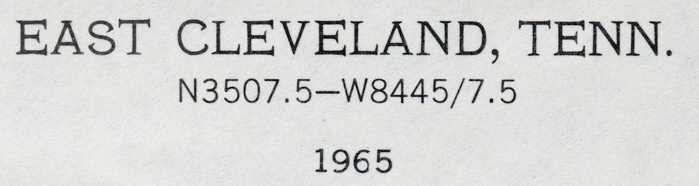 | |
|---|---|
| TITLE | East Cleveland |
| STATE | Tennessee |
| SURVEYED | 1943 through 1965 Aerial and Field Survey |
| GEOGRAPHER | Tennessee Valley Authority |
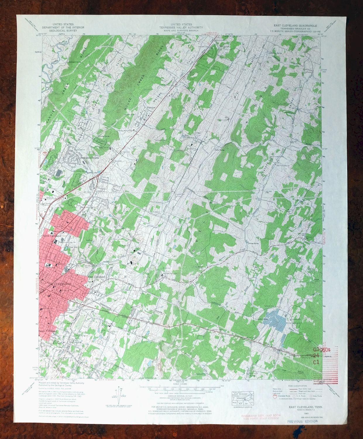
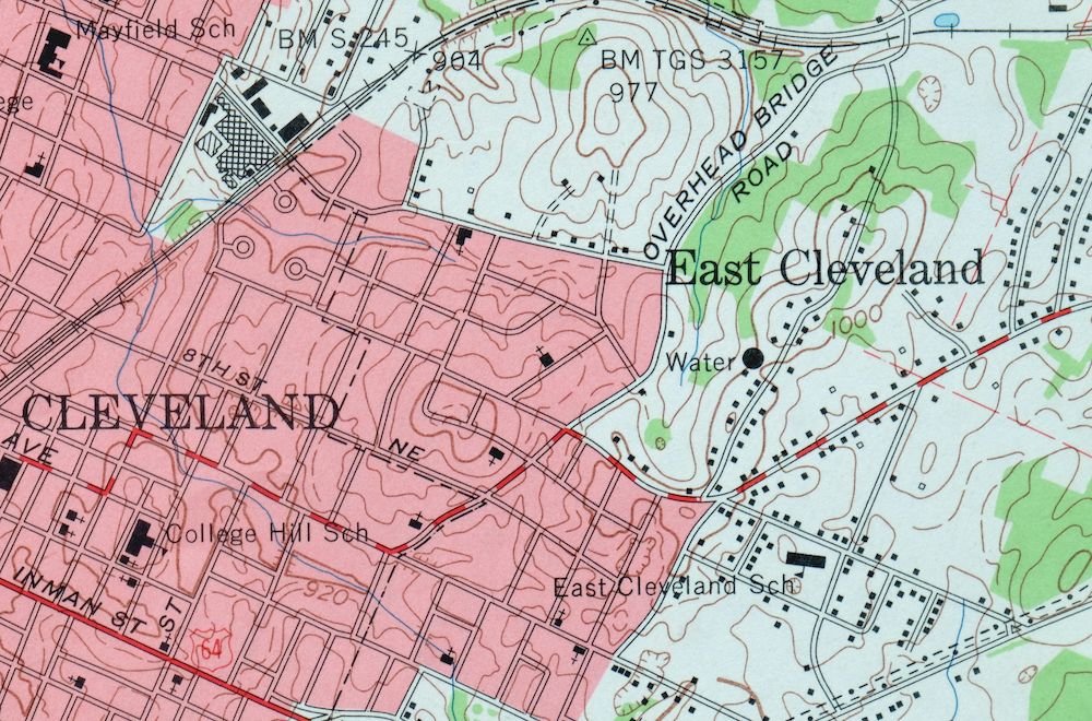
| PRINT NOTES | Thick paper stock, includes woodland tint (green to indicate vegetated areas). A reddish tint is used to indicate urban areas where only landmark buildings are shown. |
| SCALE | 1:24000 |
| CONTOUR INTERVAL | 20 feet |
| SHEET DIMENSIONS | 22 x 27 inches (approximate) |
| MAP DIMENSIONS | 18 5/8 x 22 3/4 inches |
| COVERAGE AREA | 7 x 9 miles |
| SHEET CONDITION For maps of this vintage, effort is made to note all visible flaws, no matter how minor. | |
| SHEET NOTES | lightly handled, never folded |
| MAP AREA | no wear, no blemishes, inventory stamp extends slightly into southeast corner of map area |
| COLLARS | no markings, no blemishes, no edge tears, library stamps in bottom right collar |
| MAP COVERAGE Quadrangle extent overlaid on current basemap. | |
| PLACENAMES Depending on map series and survey date, all of the features listed below may not be shown on this map. This list contains features that currently exist or historically existed within the area covered by the map. The list can be used as a reference to determine if this map covers your area of interest. Placenames are listed alphabetically next to each feature type. | |
| NOTABLE PLACES | Whisperwood and Climer |
| CITIES AND TOWNS (CURRENT) | Cleveland, East Cleveland, South Cleveland, Tasso, and Wildwood Lake |
| COUNTIES COVERED | Bradley |
| RIVERS AND STREAMS | Candies Creek, Chatata Creek, Clark Branch, Climer Branch, Coahulla Creek, Fillauer Branch, Five Mile Branch, Gatlin Branch, Kinser Creek, Little Chatata Creek, Little South Mouse Creek, London Branch, Paps Branch, Rattlesnake Branch, and South Mouse Creek |
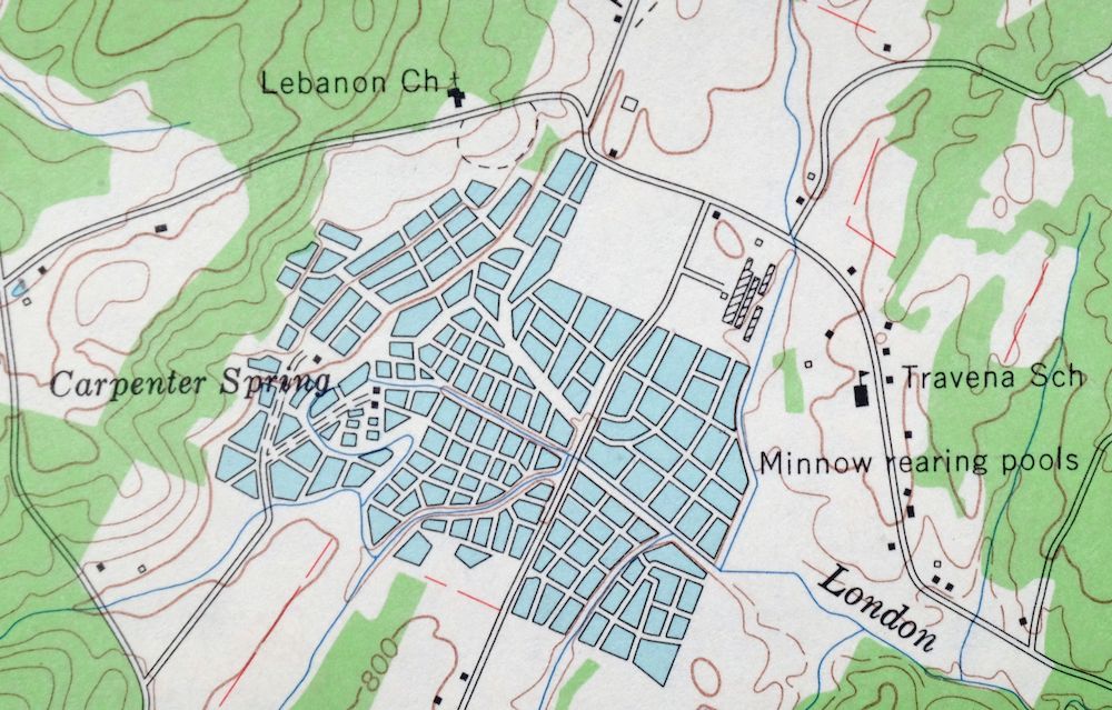
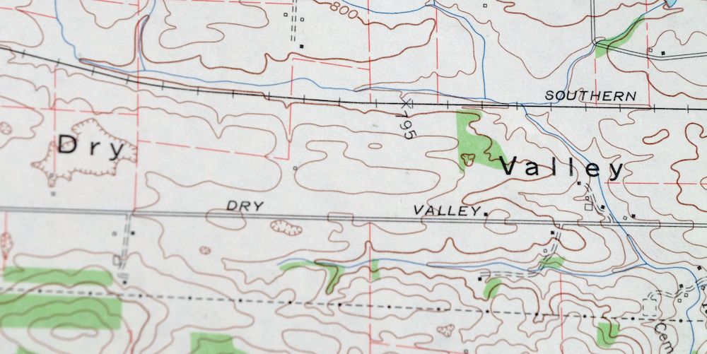
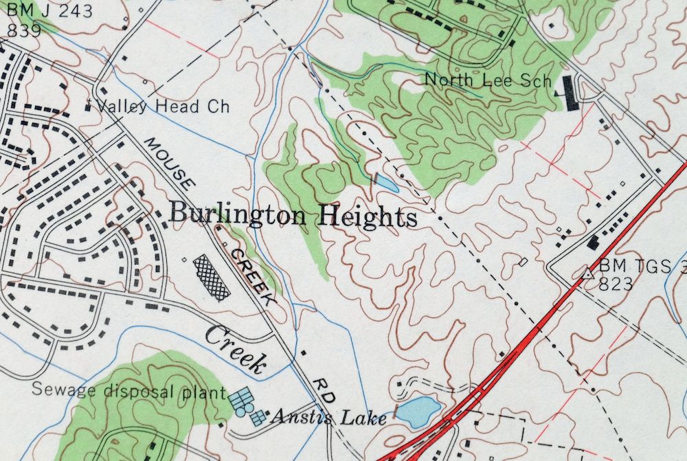
| Locations: Cleveland Fairgounds, Cleveland Golf and Country Club, and Cleveland Mall Shopping Center. Valleys and Canyons: Dry Valley. Parks: Bradley County Park, Deer Park, Mike Burke Park, Northeast Recreation Center, and Tinsley Park. Drainages: Fillauer Branch, Five Mile Branch, Greasy Creek, Little Chatata Creek, and Rattlesnake Branch. Mines: Griffin Mine and Hambright Mine. Churches: Bellefount Baptist Church, Bowman Hills Church, Big Spring United Methodist Church, Big Springs Baptist Church, Central Church of Christ, Chestuee Church, Cleveland Temple, Cloverleaf Church, East Cleveland Baptist Church, Emmanuel Church, First Baptist Church, First Church of the Nazarene, First Cumberland Presbyterian Church, First Lutheran Church, First Presbyterian Church, Four Points Church, Grace Church, Hampton Drive Church, Hillview Church, House Of Prayer, Kinser Church, Lebanon Church, Lundy Chapel, Maple Street Baptist Church, Michigan Avenue Church, New Friendship Church, New Liberty Church, North Cleveland Baptist Church, North Cleveland Church of God, Northside Church, Oak Grove Church, Parkway Church, Price Memorial African Methodist Episcopal Zion Church, Saint James Cumberland Presbyterian Church, Saint Therese Church, Spring Place Church, Tasso Christian Church, Tasso Methodist Church, Unity Church, Valley Head Church, and Washington Avenue Church. Hospitals: Bradley County Health Department, Bradley County Nursing Home, and Bradley Memorial Hospital. Lakes and Ponds: Fillauer Lake. Buildings: Church of God Orphanage, Cleveland City Hall, and Cleveland Public Library. Airports: Hardwick Field. Schools: Blythe Avenue Elementary School, Bradley Junior High School, Cleveland Day School, Cleveland High School, Cleveland Junior High School, College Hill School, East Cleveland Elementary School, Ernest L Ross Elementary School, Lee College, Mayfield Elementary School, Michigan Avenue Elementary School, North Lee Elementary School, Oak Grove Elementary School, Tomlinson College, and Travena School. Ridges: Beeler Ridge. Reservoirs and Tanks: Anstis Lake. Towers: WBAC-AM (Cleveland), WCLE-AM (Cleveland), WLCY-FM (Cleveland), and WQNE-FM (Cleveland). Springs: Beeler Spring, Bell Fount Spring, Carpenter Spring, Hardwick Spring, McKenzie Spring, Morelock Springs, Rattlesnake Spring, and Richey Spring. | |
| SHIPPING AND RETURNS | |
 Ships carefully rolled in a sturdy 2" x 24" mailing tube. Shipping and return details are in our terms. | |
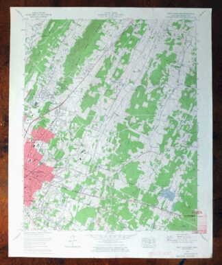
1965 USGS Topo Map: East Cleveland, Whisperwood, Tennessee
$33
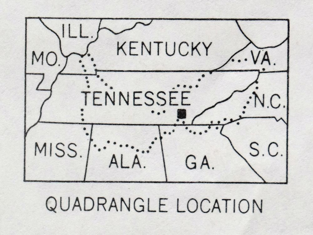
- Vicinity of Cleveland, 30 miles east of Chattanooga.
- 7.5-minute series, 1965 edition, printed in 1966.
- Very good condition, never folded.
In stock
This vintage sheet is a 1965 edition of the East Cleveland Tennessee USGS topographic map. It is an original 60-year-old 1966 United States Geological Survey print in very good condition.
HOW THIS MAP CAN BE USED
In addition to making a fascinating conversation piece, this sheet would look great in a frame or on display, make a unique and prized gift for anyone interested in this area, be perfect as a reference for genealogy studies or general historical research, or fill that missing piece in your collection. Maps of this vintage are printed on durable stock and are well-suited for outdoor activities and recreation of all kinds, including hiking, backpacking, hunting, rafting and kayaking, backcountry skiing, geocaching, general exploration, treasure hunting, etc.
FEATURES SHOWN ON THE MAP
The East Cleveland 7.5-minute map shows cities and towns, roads, paths, railroads, utilities and energy infrastructure, rivers, creeks, elevation contour lines, public land survey lines, county, state, and other administrative boundaries as they existed at the time of the survey in 1943 through 1965. A reddish tint is used on this sheet to indicate urban areas where only landmark buildings are depicted. Outside of those areas, all known structures (houses, businesses, churches, schools, barns, cabins, etc) are shown.
A VALUABLE HISTORICAL RECORD
This map is from the 7.5-minute series, the most detailed series that is widely available from the USGS. The 1965 East Cleveland map is a valuable historical record for the area. It contains some placenames and features that have been dropped from more recent maps.
Nearby maps
-
South Cleveland, Tennessee 1965 USGS Topo Map: Hopewell
$37 Add to cart -
East Chattanooga, Cannondale, Tennessee 1958 USGS Topo Map
$37 Add to cart -
East Chattanooga, Cannondale, Tennessee 1969 USGS Topo Map
$43 Add to cart -
1966 USGS Topo Map: Bearden, Cedar Bluff, Tennessee
$41 Add to cart -
1978 USGS Topo Map: Bearden, Cedar Bluff, Tennessee
$36 Add to cart -
Shooks Gap, Knoxville, Tennessee 1953 USGS Topo Map
$31 Add to cart -

Shooks Gap, Knoxville, Tennessee 1966 USGS Topo Map
$28 Add to cart -

1953 USGS Topo Map: Fountain City, Knoxville, Tennessee
$46 Add to cart -
1966 USGS Topo Map: Fountain City, Knoxville, Tennessee
$42 Add to cart -
Cookeville West, Tennessee 1953 USGS Topo Map (1975 Print)
$39 Add to cart -

1953 USGS Topo Map: John Sevier, Knoxville, Tennessee
$37 Add to cart -
John Sevier, Knoxville, Tennessee 1978 USGS Topo Map
$33 Add to cart -
John Sevier, Knoxville, Tennessee 1966 USGS Topo Map
$46 Add to cart -
Walterhill, Tennessee 1950 USGS Topo Map (1984 Print)
$26 Add to cart -

1947 USGS Topo Map: Farmington, Tennessee (1968 Print)
$35 Add to cart -
Antioch, South Nashville, Tennessee 1968 USGS Topo Map
$42 Add to cart -
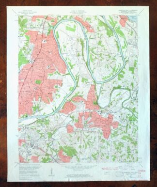
1957 USGS Topo Map: Nashville East, Lakewood, Tennessee
$40 Add to cart -
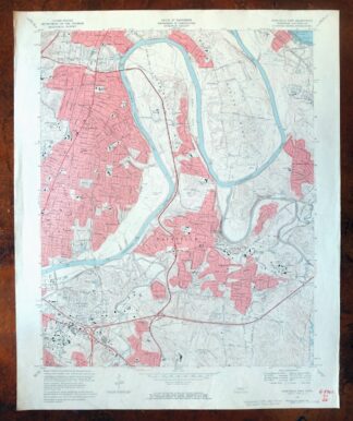
1968 USGS Topo Map: Nashville East, Lakewood, Tennessee
$40 Add to cart -

1952 USGS Topo Map: Goodlettsville, Old Hickory, Tennessee
$43 Add to cart -
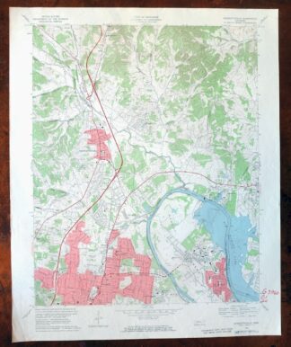
1968 USGS Topo Map: Goodlettsville, Old Hickory, Tennessee
$45 Add to cart -

Nashville West, Tennessee 1968 USGS Topo Map
$40 Add to cart -
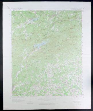
Tigerville, South Carolina/North Carolina 1959 USGS Topo Map
$16 Add to cart -
Inman, South Carolina/North Carolina 1961 USGS Topo Map
$21 Add to cart -
Mammoth Cave, Kentucky 1922 USGS Topo Map (1969 Print)
$28 Add to cart