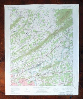
MAP DETAILS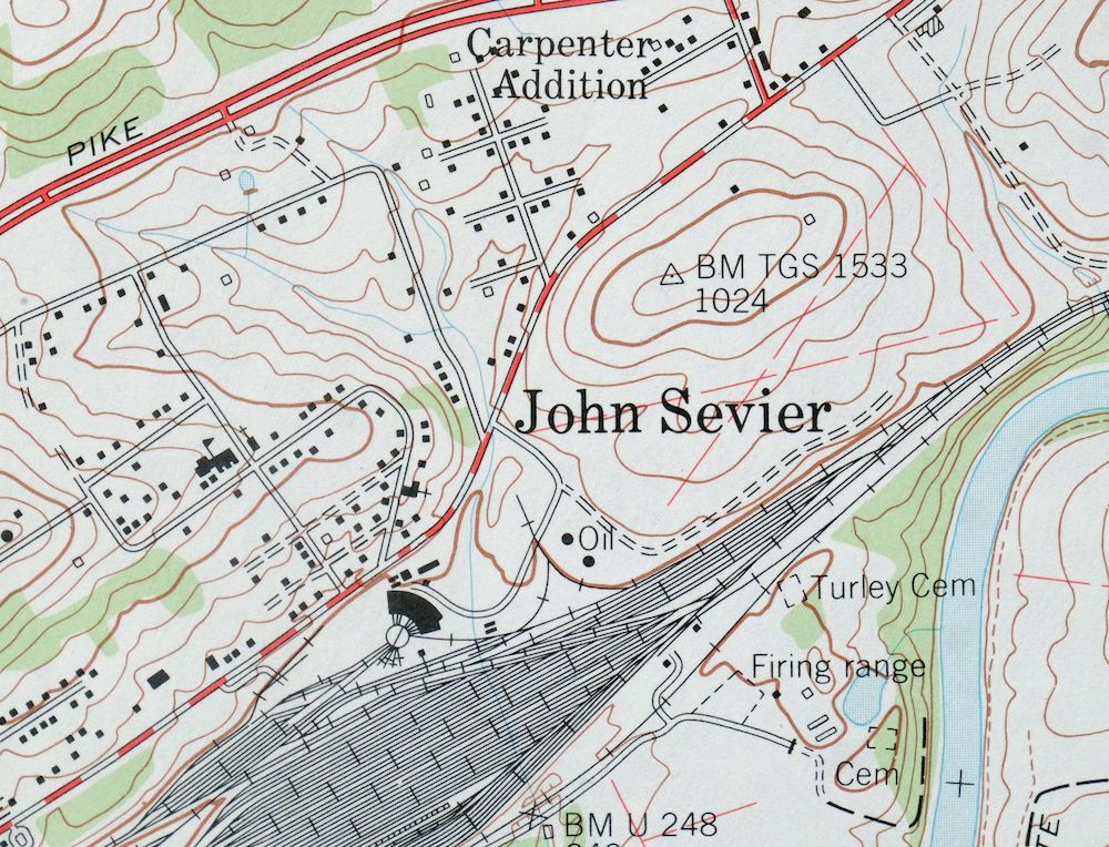 | |
|---|---|
| TITLE | John Sevier |
| STATE | Tennessee |
| LOCATION | Vicinity of Knoxville |
| SERIES | 7.5-minute |
| SURVEYED | 1975 through 1978 Aerial and Field Survey |
| GEOGRAPHER | Tennessee Valley Authority |
| EDITION | 1978 |
| PRINTED | 1978 |
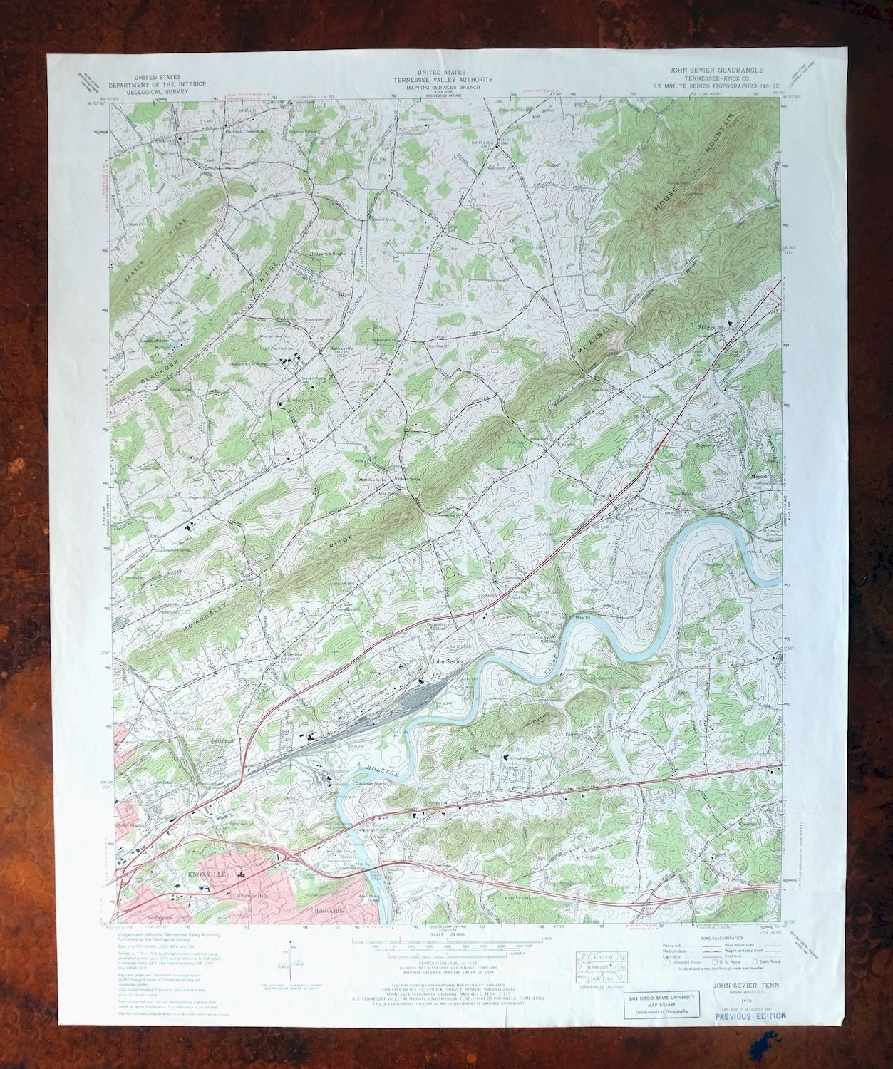
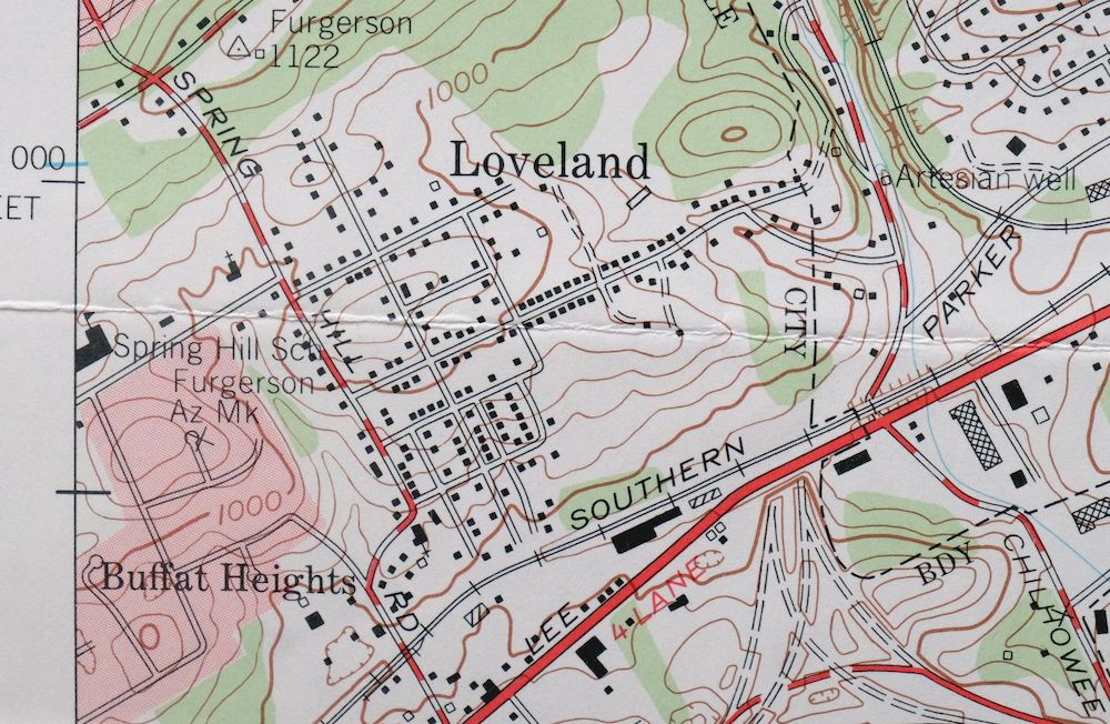
| PRINT NOTES | Thick paper stock, includes woodland tint (green to indicate vegetated areas). A reddish tint is used to indicate urban areas where only landmark buildings are shown. |
| SCALE | 1:24000 |
| CONTOUR INTERVAL | 20 feet |
| SHEET DIMENSIONS | 22 x 27 inches (approximate) |
| MAP DIMENSIONS | 18 3/8 x 22 3/4 inches |
| COVERAGE AREA | 7 x 9 miles |
| SHEET CONDITION For maps of this vintage, effort is made to note all visible flaws, no matter how minor. | |
| OVERALL CONDITION | Good |
| SHEET NOTES | moderately handled, never folded, horizontal creases in bottom quarter of sheet |
| MAP AREA | no markings, no blemishes |
| COLLARS | very minor wear or tears, no markings, no blemishes, considerable handling wear in bottom collar, library stamps in bottom right collar |
| MAP COVERAGE Quadrangle extent overlaid on current basemap. | |
| PLACENAMES Depending on map series and survey date, all of the features listed below may not be shown on this map. This list contains features that currently exist or historically existed within the area covered by the map. The list can be used as a reference to determine if this map covers your area of interest. Placenames are listed alphabetically next to each feature type. | |
| NOTABLE PLACES | Knoxville, Skaggston, and Wooddale |
| CITIES AND TOWNS (CURRENT) | Mascot |
| COUNTIES COVERED | Knox |
| RIVERS AND STREAMS | Beaver Creek, Brice Branch, Flat Creek, Hogskin Branch, Holston River, Inman Branch, Legg Creek, Little Flat Creek, Love Creek, Mac Cash Branch, Mile Branch, Molly Branch, Murphy Creek, Roseberry Creek, Rutherford Branch, South Fork Beaver Creek, Strong Creek, Swanpond Creek, and Woods Creek |
| Locations: East Towne Mall Shopping Center, John Sevier Station, and Knox County Penal Farm. Mountains, Peaks, and Summits: House Mountain and John Pratt Hill. Parks: Volunteer Park. Drainages: Fawver Creek, Hogskin Branch, Huckleberry Springs Branch, Inman Branch, Kerns Branch, Legg Creek, Love Creek, Mac Cash Branch, Mile Branch, Molly Branch, Roseberry Creek, Sinking Creek, South Fork Beaver Creek, Strong Creek, and Woods Creek. Islands: Armstrong Island and Cabbage Island. Churches: Bell Avenue Church, Bethlehem Church, Branville Church, Caledonia Church, Clapps Chapel, East Sunnyview Church, Fairview Church, Gilead Church, Highland Church, Hopewell Church, House Mountain Church, John Sevier Baptist Church, Loveland Baptist Church, Macedonia Church, Miracle Church, Mount Carmel Church, New Antioch Church, New Hope Church, New Liberty Church, North Acres Church, Peoples Church, Pratt Chapel, Ridgeview Heights Church, Rising Sun Church, Roseberry Church, Saint James Church, Saint Paul Church, Sentertown Missionary Baptist Church, Spring Place Church, Springhill Baptist Church, Three Points Baptist Church, Union Church, Washington Church, and Wooddale Church. Hospitals: Hillcrest Medical Nursing Institute. Buildings: Fire Station Number 25. Crossings: Armstrongs Ford, Interchange 392, Interchange 393, Interchange 394, and Interchange 398. Gaps: Fulton Gap. Bridges: J Will Taylor Bridge, James Edward Burke Bridge, and Ralph Adcock Bridge. Bars: Double Fish Trap Shoals. Schools: Arminda School, Chilhowee Elementary School, East Knox County Elementary School, Holston High School, Ritta Elementary School, Skaggston School, Sunnyview Elementary School, and Sunnyview School. Ridges: McAnnally Ridge. Reservoirs and Tanks: Mill Lake. Rapids: Craigheads Shoals. Springs: Crawford Spring, Cardwell Spring, Cruze Spring, Duggan Spring, Link Spring, Mathews Spring, McMillan Spring, Netherland Heights Spring, Vandergrift Spring, and Wise Spring. | |
| SHIPPING AND RETURNS | |
 This map sheet will be carefully rolled in a sturdy tube and shipped via the US Postal Service. If you find that the sheet you receive is not as described in the listing, you may ship it back to us for a refund of the purchase price. | |
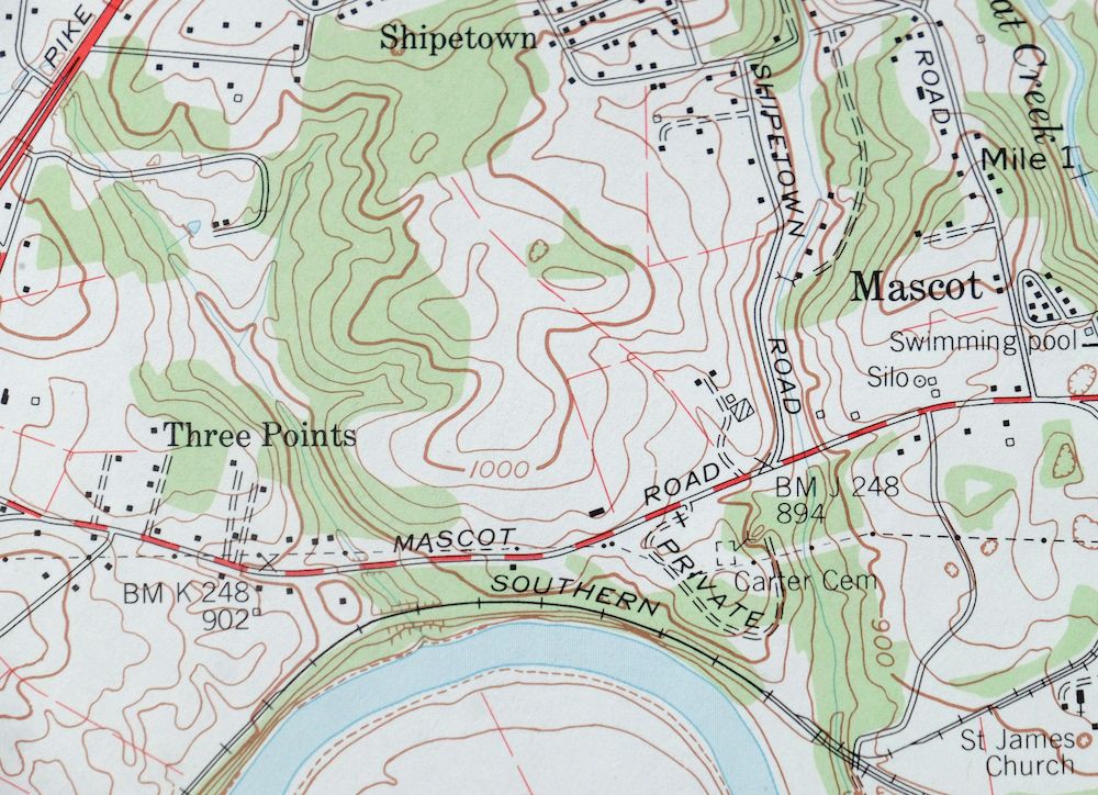
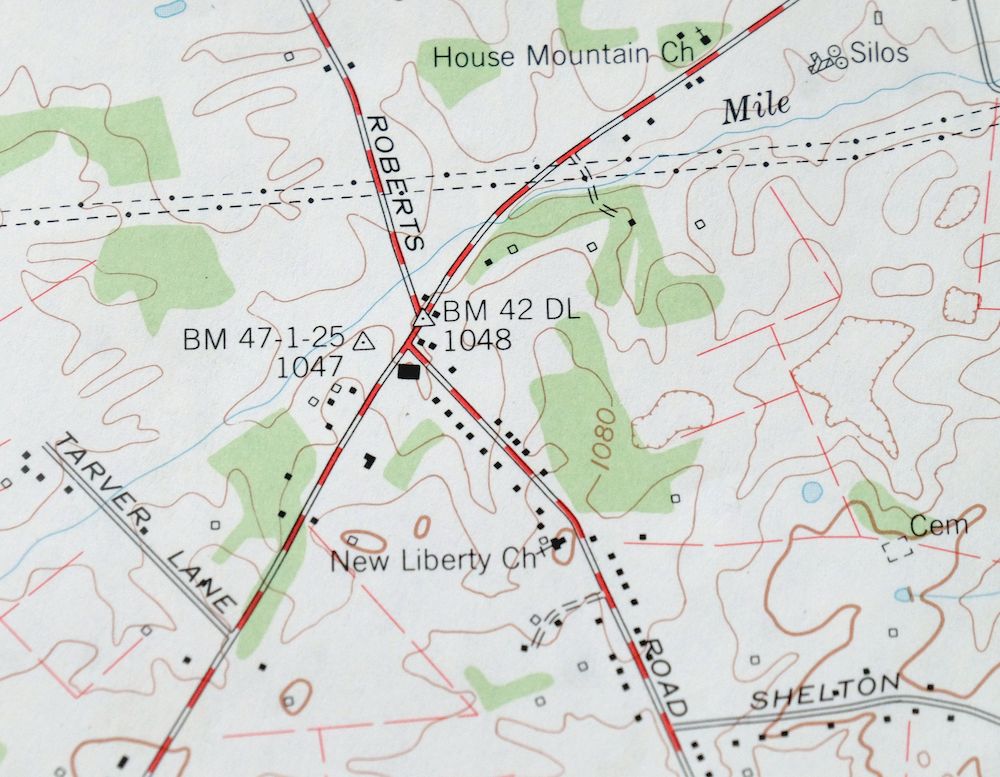
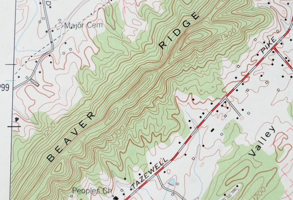
John Sevier Tennessee Knoxville Mascot USGS Topo Map 1978
$37
This is a 7.5-minute USGS topographic quadrangle of the John Sevier area east of Knoxville, Tennessee, first published and printed in 1978 from aerial and field surveys made between 1975 and 1978. The quad covers a stretch of Knox County along the Holston River, taking in the community of Mascot and the eastern edge of the Knoxville metropolitan area, with woodland shown in green at a scale of 1:24,000. The Tennessee Valley Authority compiled the sheet, reflecting its long role in mapping and managing the river valleys of East Tennessee. Never folded, in good condition.
In stock
This vintage sheet is a 1978 edition of the John Sevier Tennessee USGS topographic map. It is an original 48-year-old United States Geological Survey print in good condition.
HOW THIS MAP CAN BE USED
In addition to making a fascinating conversation piece, this sheet would look great in a frame or on display, make a unique and prized gift for anyone interested in this area, be perfect as a reference for genealogy studies or general historical research, or fill that missing piece in your collection. Maps of this vintage are printed on durable stock and are well-suited for outdoor activities and recreation of all kinds, including hiking, backpacking, hunting, rafting and kayaking, backcountry skiing, geocaching, general exploration, treasure hunting, etc.
FEATURES SHOWN ON THE MAP
The John Sevier 7.5-minute map shows cities and towns, roads, paths, railroads, utilities and energy infrastructure, rivers, creeks, elevation contour lines, public land survey lines, county, state, and other administrative boundaries as they existed at the time of the survey in 1975 through 1978. A reddish tint is used on this sheet to indicate urban areas where only landmark buildings are depicted. Outside of those areas, all known structures (houses, businesses, churches, schools, barns, cabins, etc) are shown.
A VALUABLE HISTORICAL RECORD
This map is from the 7.5-minute series, the most detailed series that is widely available from the USGS. The 1978 John Sevier map is a valuable historical record for the area. It contains some placenames and features that have been dropped from more recent maps.
Nearby maps
-

John Sevier Tennessee Knoxville Mascot USGS Topo Map 1955
$38 Add to cart -
1968 John Sevier Tennessee USGS Topo Map: Knoxville
$54 Add to cart -

Fountain City Tennessee Knoxville Halls USGS Topo Map 1955
$39 Add to cart -
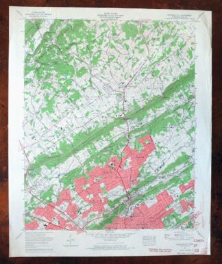
1968 USGS Topo Map: Fountain City, Knoxville, Tennessee
$54 Add to cart -
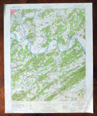
Shooks Gap Tennessee Knoxville Seymour USGS Topo Map 1955
$38 Add to cart -
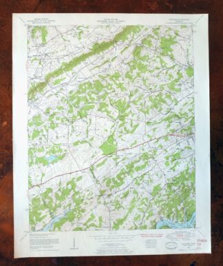
Bearden Tennessee Knoxville Alcoa USGS Topo Map 1968 Vintage
$58 Add to cart -
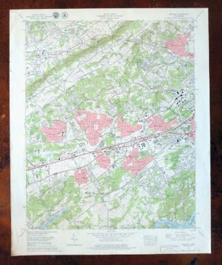
1979 USGS Topo Map: Bearden, Cedar Bluff, Tennessee
$55 Add to cart -
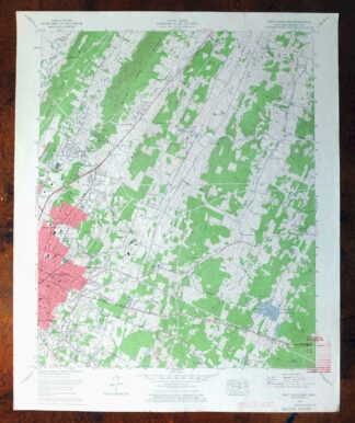
East Cleveland Tennessee Climer USGS Topographic Map 1966
$34 Add to cart -
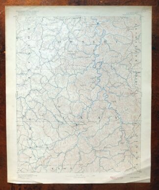
Manchester Kentucky Booneville McKee USGS Topo Map 1917
$51 Add to cart -
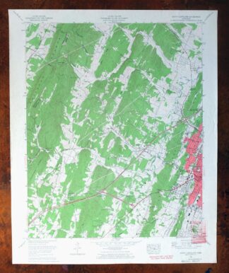
South Cleveland Tennessee Hopewell USGS Topographic Map 1966
$38 Add to cart -
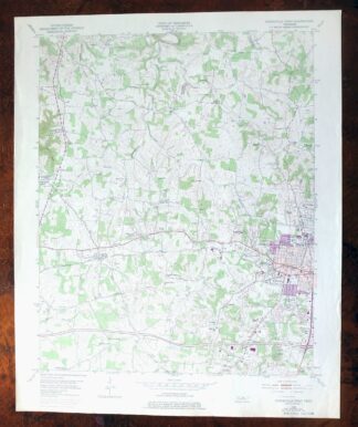
Cookeville West Tennessee Westgate Baxter USGS Topo Map 1975
$42 Add to cart -
Whitesburg Kentucky Pikeville Cumberland USGS Topo Map 1910
$115 Add to cart -
Tigerville South Carolina Tryon USGS Topographic Map 1973
$20 Add to cart -
East Chattanooga Tennessee Cannondale USGS Topo Map 1959
$38 Add to cart -
1970 East Chattanooga Tennessee USGS Topo Map: Cannondale
$50 Add to cart -
Inman South Carolina Boiling Springs USGS Topo Map 1964
$45 Add to cart -
Salyersville Kentucky West Liberty Zag USGS Topo Map 1918
$47 Add to cart -

Greer South Carolina Simpsonville Duncan USGS Topo Map 1974
$32 Add to cart -
Warfield West Virginia Pikeville Harts USGS Topo Map 1911
$105 Add to cart -
Walterhill Tennessee Murfreesboro Smyrna USGS Topo Map 1984
$27 Add to cart -
Wytheville Virginia Marion Sparta USGS Topo Map 1907 Antique
$105 Add to cart -
Antioch Tennessee Brentwood USGS Topographic Map 1971
$48 Add to cart -
Nashville East Tennessee Lakewood USGS Topo Map 1959 Vintage
$40 Add to cart -
1971 Nashville East Tennessee USGS Topo Map: Lakewood
$48 Add to cart