MAP DETAILS | |
|---|---|
| TITLE | Mchenrys Peak |
| STATE | Colorado |
| LOCATION | 54 miles northwest of Denver |
| SERIES | 7.5-minute |
| SURVEYED | 1953 and 1957 Aerial and Field Survey |
| EDITION | 1957 |
| PRINTED | 1959 |
| PRINT NOTES | Thick paper stock, includes woodland tint (green to indicate vegetated areas) |
| SCALE | 1:24000 |
| CONTOUR INTERVAL | 40 feet |
| SHEET DIMENSIONS | 22 x 27 inches |
| MAP DIMENSIONS | 17 3/8 x 22 3/4 inches |
| COVERAGE AREA | 7 x 9 miles |
| SHEET CONDITION For maps of this vintage, effort is made to note all visible flaws, no matter how minor. | |
| OVERALL CONDITION | Very Good |
| SHEET NOTES | lightly handled, has foldlines |
| MAP AREA | no markings, no blemishes |
| COLLARS | no wear or tears, no markings, no blemishes |
| MAP COVERAGE Quadrangle extent overlaid on current basemap. | |
| PLACENAMES Depending on map series and survey date, all of the features listed below may not be shown on this map. This list contains features that currently exist or historically existed within the area covered by the map. The list can be used as a reference to determine if this map covers your area of interest. Placenames are listed alphabetically next to each feature type. | |
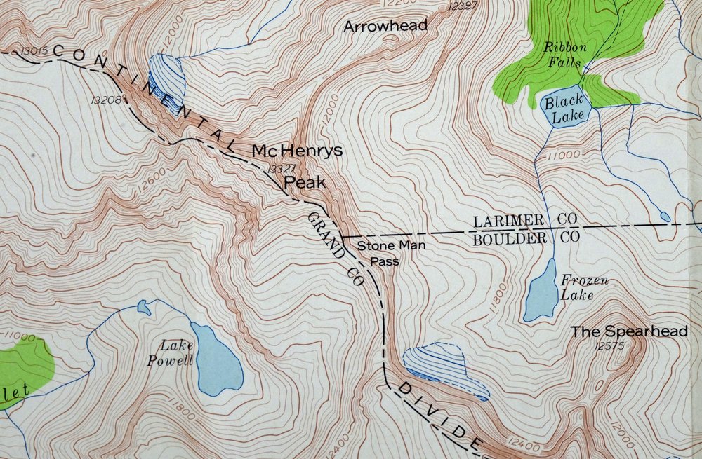
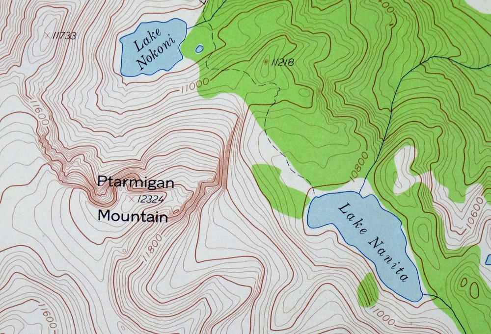
| NOTABLE PLACES | Rocky Mountain National Park, The Sharkstooth, Stones Peak, and Ptarmigan Mountain |
| COUNTIES COVERED | Boulder, Grand, and Larimer |
| RIVERS AND STREAMS | Beaver Brook, Big Thompson River, Chaos Creek, Glacier Creek, Hayden Creek, Icy Brook, Mill Creek, North Inlet, Ptarmigan Creek, Shelf Creek, Spruce Creek, and Tonahutu Creek |
| WATER BODIES | Andrews Tarn, Bench Lake, Bierstadt Lake, Black Lake, Blue Lake, Cub Lake, Emerald Lake, Fern Lake, Frozen Lake, Lake of Glass, Lake Haiyaha, Hayden Lake, Hourglass Lake, Irene Lake, Jewel Lake, The Loch, Lonesome Lake, Loomis Lake, Mills Lake, Murphy Lake, Lake Nanita, Lake Nokoni, Odessa Lake, Pettingell Lake, Lake Powell, Ptarmigan Lake, Rainbow Lake, Shelf Lake, Sky Pond, Snowdrift Lake, Solitude Lake, Spruce Lake, and Two Rivers Lake |
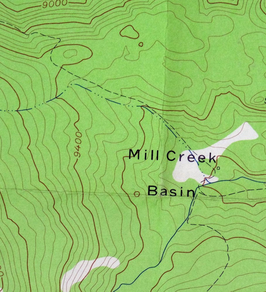
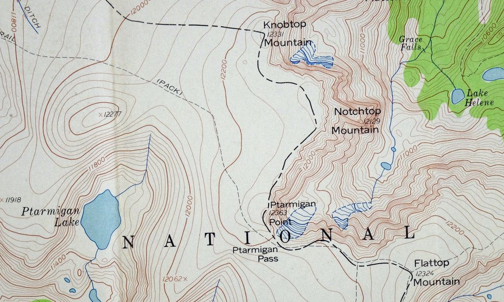
| Locations: Glacier Gorge Junction. Reserves: Rocky Mountain National Park Wilderness. Mountains, Peaks, and Summits: Arrowhead, Beaver Mountain, Flattop Mountain, Gabletop Mountain, Glacier Knobs, Half Mountain, Hallett Peak, Joe Mills Mountain, Knobtop Mountain, Little Matterhorn, McHenrys Peak, Mount Wuh, Notchtop Mountain, Otis Peak, Powell Peak, Ptarmigan Mountain, Ptarmigan Point, Snowdrift Peak, Sprague Mountain, Stones Peak, Taylor Peak, Thatchtop, The Sharkstooth, and The Spearhead. Valleys and Canyons: Chaos Canyon, Forest Canyon, Glacier Gorge, Loch Vale, Prospect Canyon, Spruce Canyon, The Gash, Tourmaline Gorge, Tyndall Gorge, and Windy Gulch. Parks: Rocky Mountain National Park. Trails: Flattop Mountain Trail, Glacier Creek Trail, Lake Nanita Trail, Loch Vale Trail, and North Inlet Trail. Drainages: Andrews Creek, Chaos Creek, Fern Creek, Hallett Creek, Hidden River, Icy Brook, Lost Brook, Ptarmigan Creek, Shelf Creek, Spruce Creek, and Tyndall Creek. Lakes and Ponds: Andrews Tarn, Bear Lake, Bench Lake, Bierstadt Lake, Black Lake, Black Pool, Blue Lake, Cub Lake, Dream Lake, Embryo Lake, Emerald Lake, Fern Lake, Frozen Lake, Green Lake, Hayden Lake, Hourglass Lake, Irene Lake, Jewel Lake, Lake Haiyaha, Lake Helene, Lake Nanita, Lake Nokoni, Lake of Glass, Lake Powell, Lake Solitude, Lonesome Lake, Loomis Lake, Marigold Lake, Marigold Pond, Mills Lake, Murphy Lake, Nymph Lake, Odessa Lake, Pettingell Lake, Ptarmigan Lake, Rainbow Lake, Round Pond, Shelf Lake, Sky Pond, Snowdrift Lake, Solitude Lake, Spruce Lake, The Loch, The Pool, Tourmaline Lake, and Two Rivers Lake. Glacier: Andrews Glacier, Sprague Glacier, Taylor Glacier, and Tyndall Glacier. Waterfalls: Alberta Falls, Fern Falls, Glacier Falls, Grace Falls, Marguerite Falls, Ribbon Falls, Timberline Falls, and War Dance Falls. Bluffs: Castle Rock and The Gable. Gaps: Andrews Pass, McHenrys Notch, Ptarmigan Pass, Sprague Pass, and Stone Man Pass. Canals: Eureka Ditch. Basins: Mill Creek Basin. Ridges: Bierstadt Moraine. Flats: Bighorn Flats and Raspberry Park. Tunnels: Alva B Adams Tunnel. Pillars: Hayden Spire. Cemetery: Doctor Thornton R Sampson Grave and J P Chitwood Grave. | |
| SHIPPING AND RETURNS | |
| This map sheet ships via the US Postal Service. Choose your preferred packaging at eBay checkout: rolled in a sturdy tube, or folded in a padded mailer. If you find that the sheet you receive is not as described in the listing, you may ship it back to us for a refund of the purchase price. | |
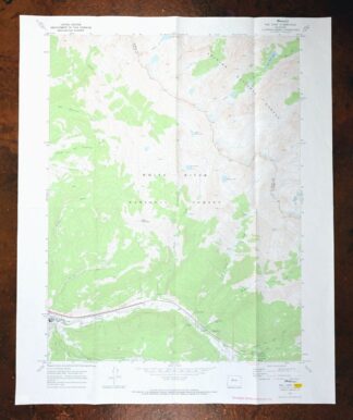
1959 Mchenrys Peak Colorado USGS Topo Map
$33
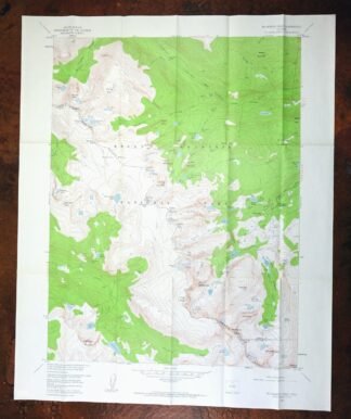
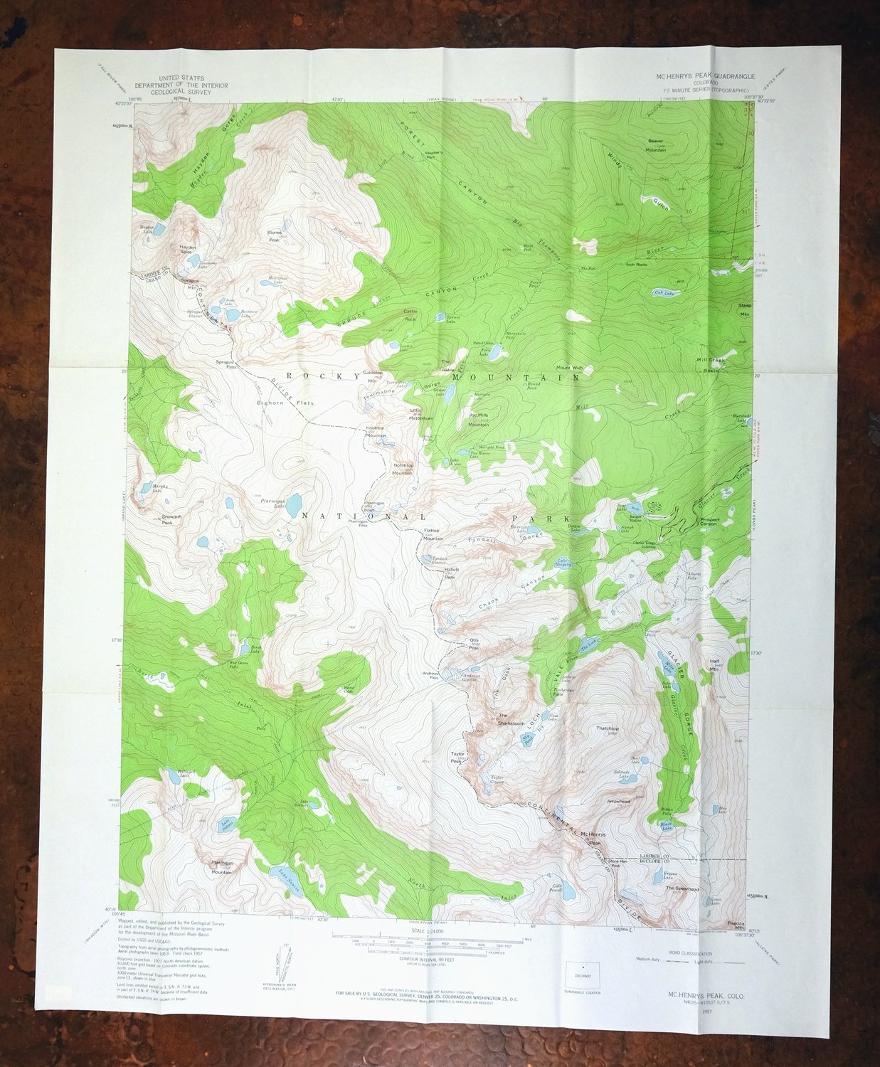
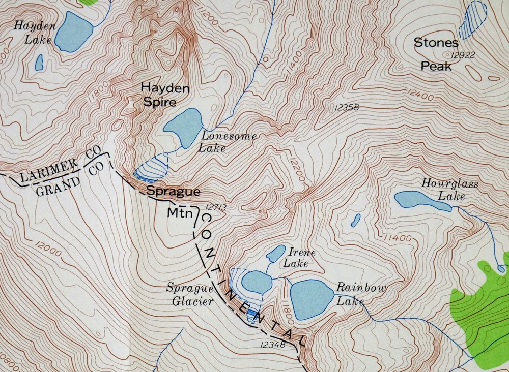
This is a 1957 edition of the McHenrys Peak quadrangle in the Colorado high country, printed in 1959 at 1:24,000 from aerial and field surveys made in 1953 and 1957. The 7-by-9-mile sheet sits about 54 miles northwest of Denver, where Boulder, Grand, and Larimer counties meet, and takes in a portion of Rocky Mountain National Park including Stones Peak and The Sharkstooth. With a 40-foot contour interval and a green woodland tint, it reads the rugged terrain closely – the sort of ground that draws climbers and hikers into the park’s backcountry.
In stock
This vintage sheet is a 1957 edition of the Mchenrys Peak Colorado USGS topographic map. It is an original 67-year-old 1959 United States Geological Survey print in very good condition.
HOW THIS MAP CAN BE USED
In addition to making a fascinating conversation piece, this sheet would look great in a frame or on display, make a unique and prized gift for anyone interested in this area, be perfect as a reference for genealogy studies or general historical research, or fill that missing piece in your collection. Maps of this vintage are printed on durable stock and are well-suited for outdoor activities and recreation of all kinds, including hiking, backpacking, hunting, rafting and kayaking, backcountry skiing, geocaching, general exploration, treasure hunting, etc.
FEATURES SHOWN ON THE MAP
The Mchenrys Peak 7.5-minute map shows cities and towns, roads, paths, railroads, utilities and energy infrastructure, rivers, creeks, elevation contour lines, public land survey lines, county, state, and other administrative boundaries as they existed at the time of the survey in 1953 and 1957. All known structures (houses, businesses, churches, schools, barns, cabins, etc) are also shown.
A VALUABLE HISTORICAL RECORD
This map is from the 7.5-minute series, the most detailed series that is widely available from the USGS. The 1957 Mchenrys Peak map is a valuable historical record for the area. It contains some placenames and features that have been dropped from more recent maps.
Nearby maps
-
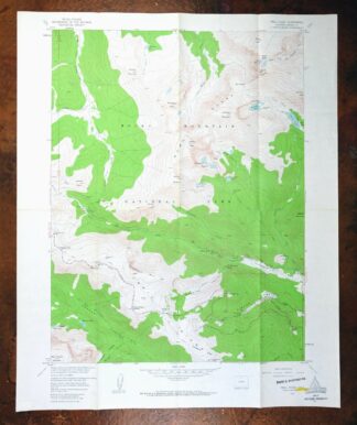
Trail Ridge Colorado USGS 7.5-Min Topo Map 1962 Vintage
$25 Add to cart -

Estes Park Colorado USGS 7.5-Min Topo Map 1961 Vintage
$31 Add to cart -
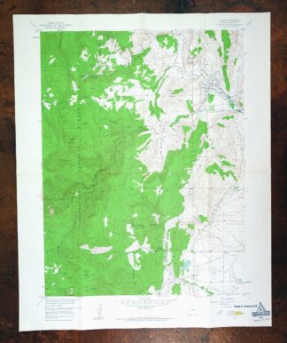
Lyons Colorado USGS 7.5-Min Topographic Map 1961 Vintage
$34 Add to cart -
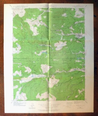
Nederland Colorado Eldora Rollinsville USGS Topo Map 1964
$35 Add to cart -
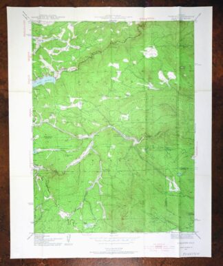
1955 Tungsten Colorado USGS Topo Map: Barker Reservoir
$39 Add to cart -
Eldorado Springs Colorado Arvada Boulder USGS Topo Map 1961
$37 Add to cart -
Hot Sulphur Springs Colorado Parshall USGS Topo Map 1963
$39 Add to cart -
Central City Colorado Black Hawk USGS Topo Map 1964 Vintage
$32 Add to cart -

Lafayette Colorado Westminster Thornton USGS Topo Map 1967
$38 Add to cart -
Lafayette Colorado Westminster Thornton USGS Topo Map 1944
$39 Add to cart -
1958 Lafayette Colorado USGS Topo Map: Broomfield (Thornton)
$36 Add to cart -
Georgetown Colorado Silver Plume USGS Topo Map 1962 Vintage
$33 Add to cart -
Kings Canyon Colorado North Sand Hills USGS Topo Map 1969
$34 Add to cart -

Mount Powell Colorado Gore Range USGS Topo Map 1940 Antique
$32 Add to cart -

1974 USGS Topo Map: Mount Powell, Gore Range, Colorado
$42 Add to cart -

Eastlake Colorado Westminster Thornton USGS Topo Map 1944
$52 Add to cart -
Eastlake Colorado Westminster Thornton USGS Topo Map 1967
$39 Add to cart -
Georgetown Colorado Idaho Springs USGS Topo Map 1980 Vintage
$41 Add to cart -
Montezuma Colorado Keystone USGS 15-Min Topographic Map 1926
$58 Add to cart -
1972 Montezuma Colorado USGS Topo Map: Keystone
$46 Add to cart -
1971 USGS Topo Map: Gore Pass, Red Dirt Reservoir, Colorado
$44 Add to cart -

Keystone Colorado USGS 7.5-Min Topographic Map 1963 Vintage
$35 Add to cart -
Vail East Colorado USGS 7.5-Min Topographic Map 1973 Vintage
$37 Add to cart -

Fort Logan Colorado Denver Bow Mar USGS Topographic Map 1941
$38 Add to cart