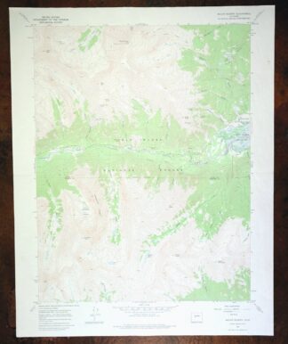
MAP DETAILS | |
|---|---|
| TITLE | Mount Elbert |
| STATE | Colorado |
| LOCATION | 15 miles southwest of Leadville |
| SERIES | 7.5-minute |
| SURVEYED | 1964 and 1967 Aerial and Field Survey |
| EDITION | 1967 |
| PRINTED | 1975 |
| PRINT NOTES | Includes woodland tint (green to indicate vegetated areas) |
| SCALE | 1:24000 |
| CONTOUR INTERVAL | 40 feet |
| SHEET DIMENSIONS | 22 x 27 inches |
| MAP DIMENSIONS | 17 3/4 x 22 3/4 inches |
| COVERAGE AREA | 7 x 9 miles |
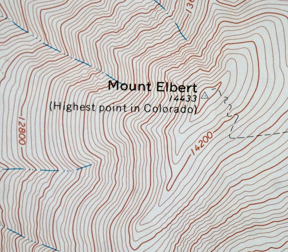
| MAP NOTES | This sheet includes the highest point in Colorado at 14,433 feet. |
| SHEET CONDITION For maps of this vintage, effort is made to note all visible flaws, no matter how minor. | |
| OVERALL CONDITION | Good |
| SHEET NOTES | lightly handled, midsheet horizontal foldline (in half), light midsheet vertical crease |
| MAP AREA | no markings, no blemishes |
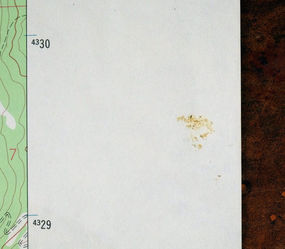
| COLLARS | no wear or tears, no markings, a couple of minor blemishes |
 | |
| MAP COVERAGE Quadrangle extent overlaid on current basemap. | |
| PLACENAMES Depending on map series and survey date, all of the features listed below may not be shown on this map. This list contains features that currently exist or historically existed within the area covered by the map. The list can be used as a reference to determine if this map covers your area of interest. Placenames are listed alphabetically next to each feature type. | |
| NOTABLE PLACES | Sawatch Range, Twin Lakes Reservoir, La Plata Peak, and Lake Creek |
| CITIES AND TOWNS (CURRENT) | Twin Lakes |
| COUNTIES COVERED | Chaffee and Lake |
| FEDERAL LAND UNITS | Collegiate Peaks Wilderness and San Isabel National Forest |
| RIVERS AND STREAMS | Black Cloud Creek, Crystal Lake Creek, Echo Creek, Elbert Creek, and South Halfmoon Creek |
| WATER BODIES | Crystal Lake and Willis Lake |
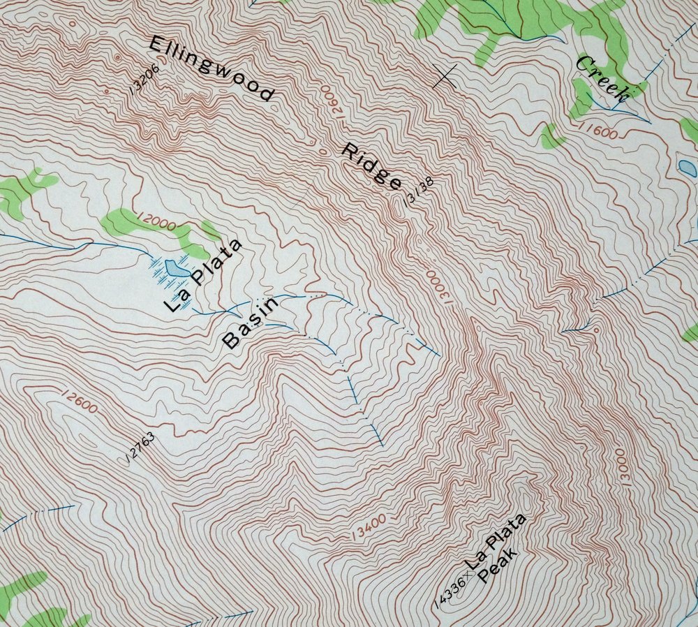
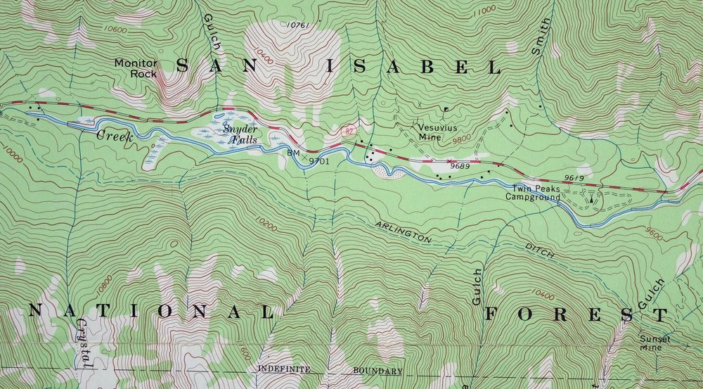
| Populated Place: Twin Lakes. Locations: Parry Peak Campground and Twin Peaks Campground. Mountain Ranges: Sawatch Range. Mountains, Peaks, and Summits: Bull Hill, Casco Peak, La Plata Peak, Monitor Rock, Mount Elbert, Mount Hope, Parry Peak, Quail Mountain, Rinker Peak, Twin Peaks, Ervin Peak, Mount Blaurock, and Mount Cosgriff. Valleys and Canyons: Boswell Gulch, Dayton Gulch, Echo Canyon, Galena Gulch, Gordon Gulch, Hayden Gulch, La Plata Gulch, Little Willis Gulch, Monitor Gulch, Smith Gulch, Sunset Gulch, and Willis Gulch. Trails: Main Range Trail and Mount Elbert Trail. Drainages: Black Cloud Creek, Crystal Lake Creek, Echo Creek, and North Fork Lake Creek. Mines: Bartlett Mine, Fidelity Mine, Golden Fleece Mine, Gordon Mine, Iron Mike Mine, Last Chance Mine, Little Joe Mine, Sunset Mine, Vesuvius Mine, White Star Mine, Bengal Tiger Mine, Edna May Mine, Helen H Cochran Mine, Kosmon Mine, Practical Gold Mining Mine, and Rocky Point Mine. Lakes and Ponds: Crystal Lake, Lily Pond, and Willis Lake. Waterfalls: Snyder Falls. Dams: Cozart Dam. Canals: Arlington Ditch. Basins: La Plata Basin. Ridges: Ellingwood Ridge. Reservoirs and Tanks: Cozart Reservoir. | |
| SHIPPING AND RETURNS | |
 This map sheet will be carefully rolled in a sturdy tube and shipped via the US Postal Service. If you find that the sheet you receive is not as described in the listing, you may ship it back to us for a refund of the purchase price. | |
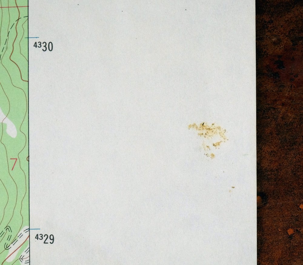
1975 USGS Topo Map: Mount Elbert, Sawatch Range, Colorado
$37
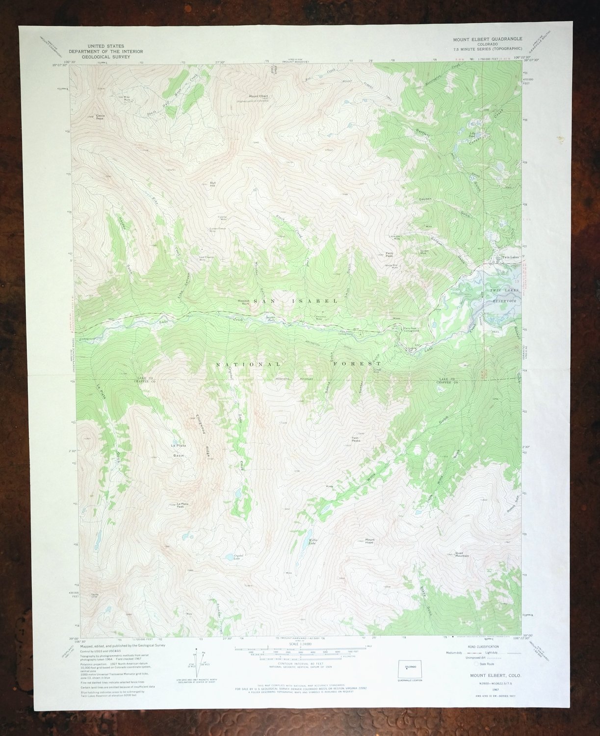
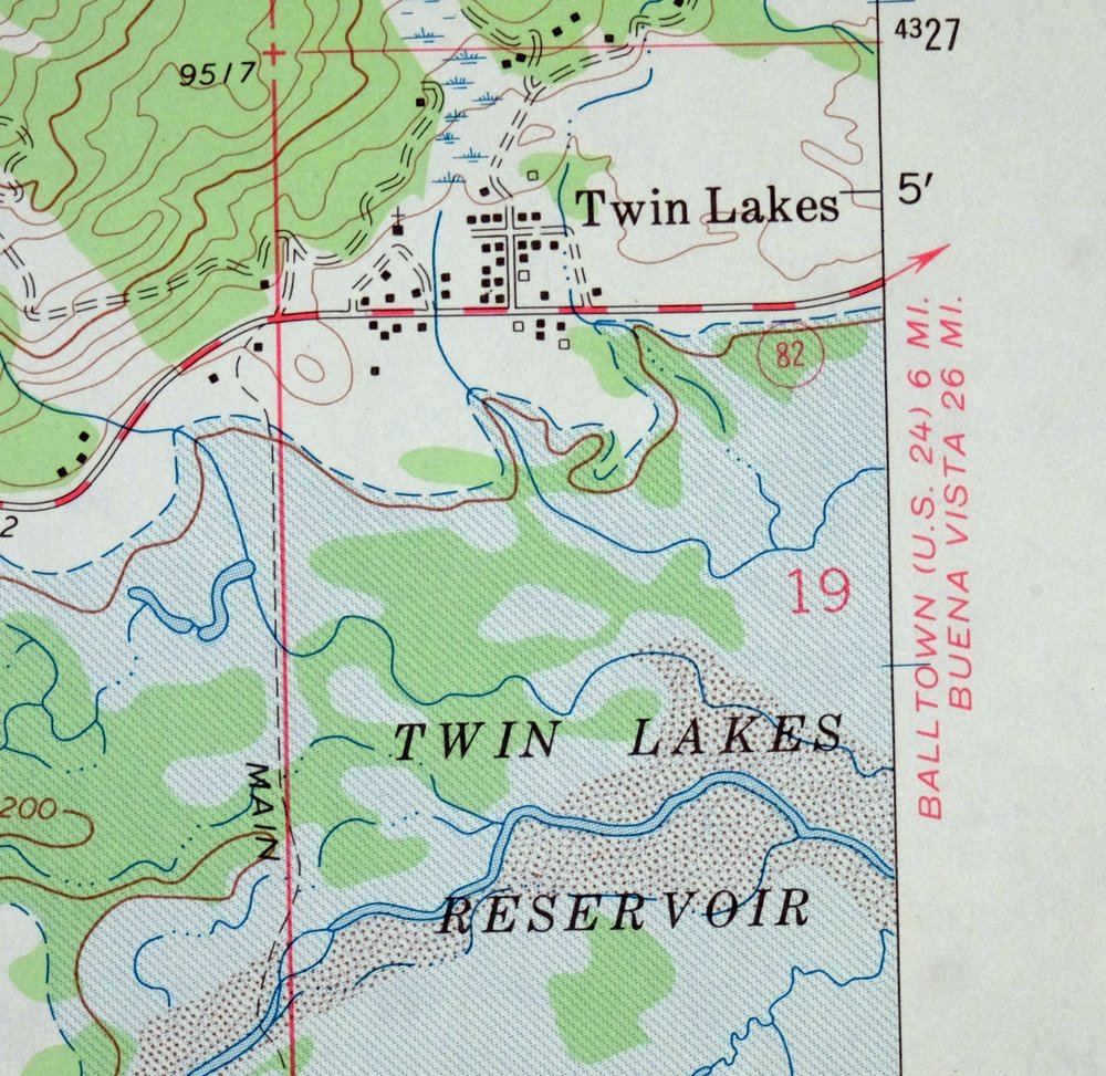
This sheet includes the highest point in Colorado at 14,433 feet. This is a 1967 edition of the Mount Elbert quadrangle in central Colorado, printed in 1975 at a scale of 1:24,000 with a green tint marking the wooded slopes. The quad covers a high stretch of the Sawatch Range about 15 miles southwest of Leadville, taking in Twin Lakes Reservoir, the small community of Twin Lakes, La Plata Peak, and portions of the San Isabel National Forest and Collegiate Peaks Wilderness.
In stock
This vintage sheet is a 1967 edition of the Mount Elbert Colorado USGS topographic map. It is an original 51-year-old 1975 United States Geological Survey print in good condition.
HOW THIS MAP CAN BE USED
In addition to making a fascinating conversation piece, this sheet would look great in a frame or on display, make a unique and prized gift for anyone interested in this area, be perfect as a reference for genealogy studies or general historical research, or fill that missing piece in your collection. Maps of this vintage are printed on durable stock and are well-suited for outdoor activities and recreation of all kinds, including hiking, backpacking, hunting, rafting and kayaking, backcountry skiing, geocaching, general exploration, treasure hunting, etc.
FEATURES SHOWN ON THE MAP
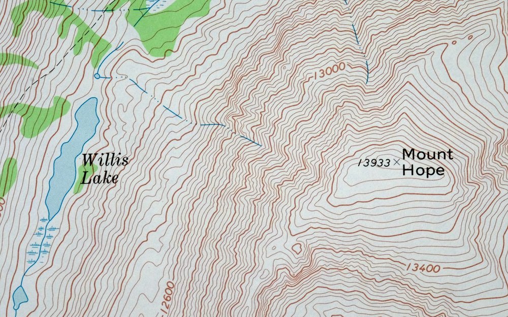
The Mount Elbert 7.5-minute map shows cities and towns, roads, paths, railroads, utilities and energy infrastructure, rivers, creeks, elevation contour lines, public land survey lines, county, state, and other administrative boundaries as they existed at the time of the survey in 1964 and 1967. All known structures (houses, businesses, churches, schools, barns, cabins, etc) are also shown.
A VALUABLE HISTORICAL RECORD
This map is from the 7.5-minute series, the most detailed series that is widely available from the USGS. The 1967 Mount Elbert map is a valuable historical record for the area. It contains some placenames and features that have been dropped from more recent maps.
Nearby maps
-

Mount Massive Colorado Vintage USGS Topographic Map 1975
$36 Add to cart -
1964 Aspen Colorado USGS Topo Map: Buttermilk
$40 Add to cart -
Highland Peak Colorado Snowmass Village USGS Topo Map 1988
$40 Add to cart -
1972 USGS Topo Map: Mount Harvard, Sawatch Range, Colorado
$40 Add to cart -
1945 USGS Topo Map: Garfield, Monarch Pass, Colorado
$32 Add to cart -
1974 USGS Topo Map: Garfield, Monarch Pass, Colorado
$44 Add to cart -
Poncha Springs Colorado Salida Nathrop USGS Topo Map 1970
$41 Add to cart -

Red Cliff Colorado Vail USGS 7.5-Min Topo Map 1988 Vintage
$35 Add to cart -
1973 USGS Topo Map: Red Cliff, Vail Ski Resort, Colorado
$50 Add to cart -
Anthracite Colorado USGS 15-Min Topographic Map 1918 Antique
$38 Add to cart -

Frisco Colorado Dillon Reservoir Dillon USGS Topo Map 1973
$38 Add to cart -
Leon White River NF Colorado USGS 7.5-Min Topo Map 1988
$33 Add to cart -
Vail West Colorado Avon USGS 7.5-Min Topo Map 1973 Vintage
$38 Add to cart -

Keystone Colorado USGS 7.5-Min Topographic Map 1963 Vintage
$35 Add to cart -
1988 Edwards Colorado USGS Topo Map: Avon (Original Print)
$41 Add to cart -
Vail East Colorado USGS 7.5-Min Topographic Map 1973 Vintage
$37 Add to cart -
Montezuma Colorado Keystone USGS 15-Min Topographic Map 1926
$58 Add to cart -
1972 Montezuma Colorado USGS Topo Map: Keystone
$46 Add to cart -
1973 Black Mountain Colorado USGS Topo Map: Loco Mountain
$29 Add to cart -
Shawnee Colorado Singleton USGS Topographic Map 1972 Vintage
$39 Add to cart -
Iola Colorado USGS 7.5-Min Topographic Map 1963 Vintage
$31 Add to cart -

Mount Powell Colorado Gore Range USGS Topo Map 1940 Antique
$32 Add to cart -

1974 USGS Topo Map: Mount Powell, Gore Range, Colorado
$42 Add to cart -
Georgetown Colorado Idaho Springs USGS Topo Map 1980 Vintage
$41 Add to cart