MAP DETAILS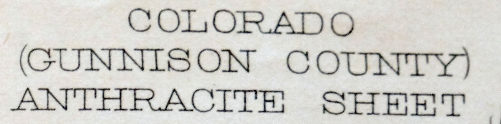 | |
|---|---|
| TITLE | Anthracite |
| STATE | Colorado |
| LOCATION | 80 miles east of Grand Junction, CO |
| SERIES | 15-minute |
| SURVEYED | 1883 and 1888 Field Survey |
| GEOGRAPHER | Henry Gannett |
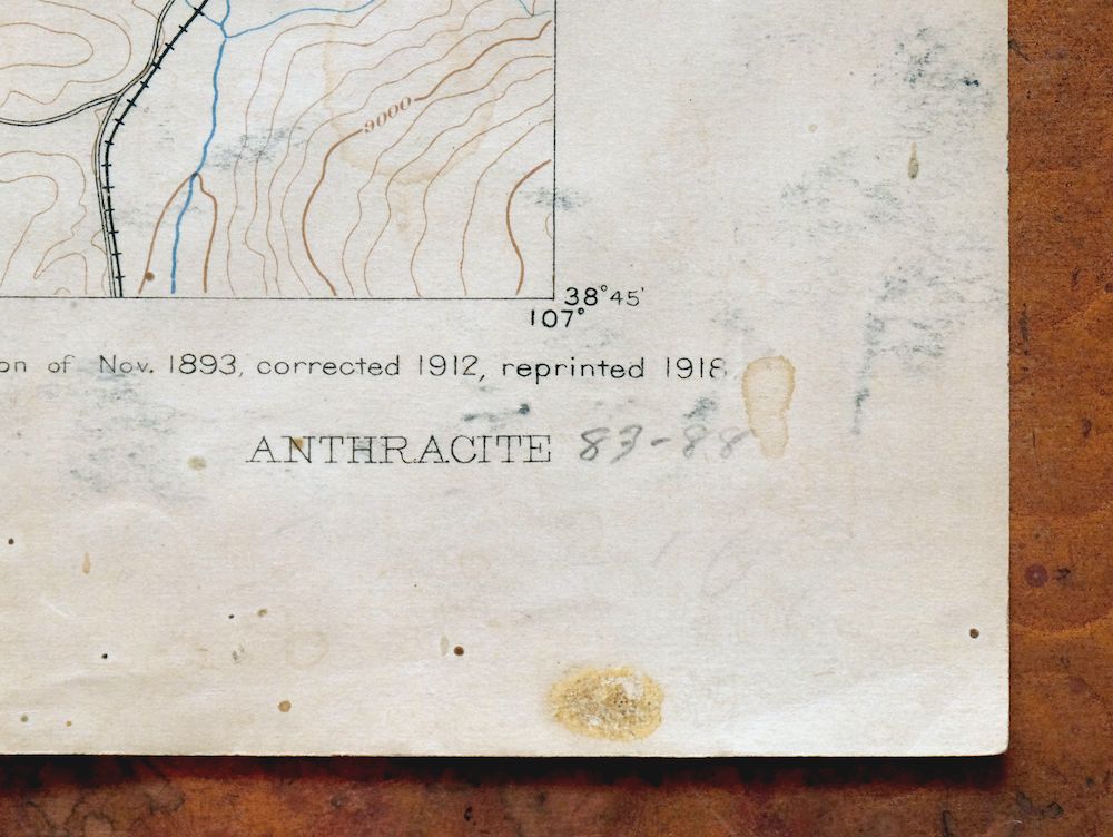
| EDITION | 1893 |
| PRINTED | 1918 |
| PRINT NOTES | Thick paper stock |
| SCALE | 1:62500 |
| CONTOUR INTERVAL | 100 feet |
| SHEET DIMENSIONS | 16 1/2 x 20 inches |
| MAP DIMENSIONS | 13 5/8 x 17 1/2 inches |
| COVERAGE AREA | 13 x 17 miles |
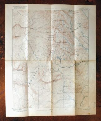
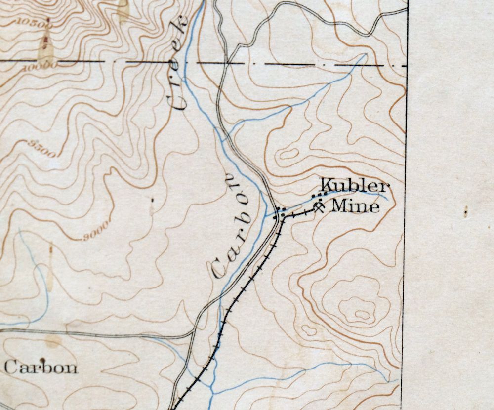
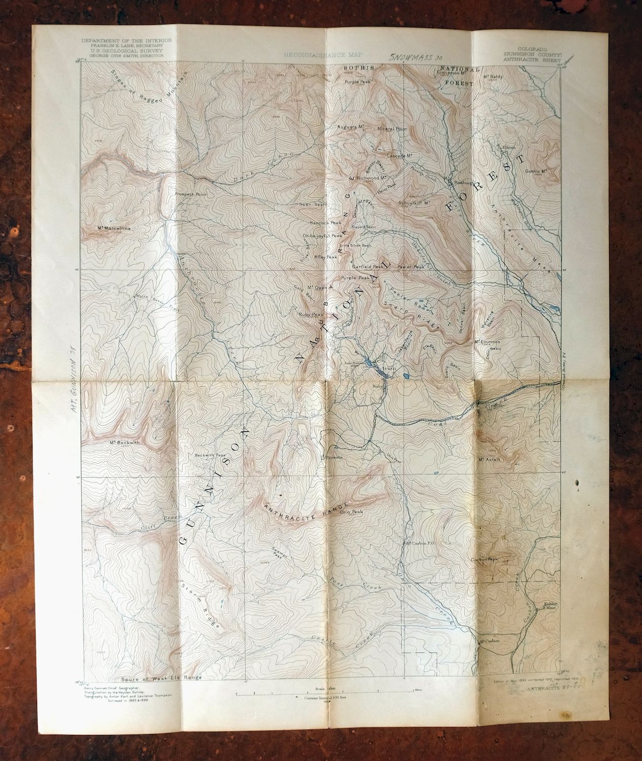
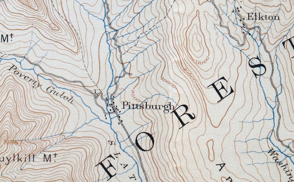
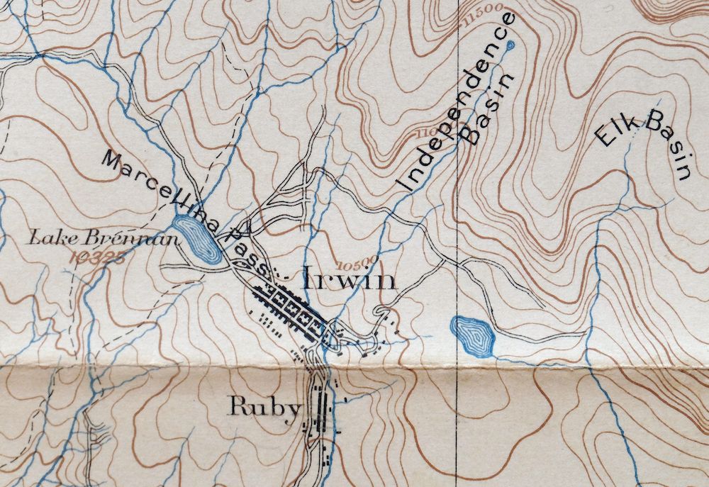
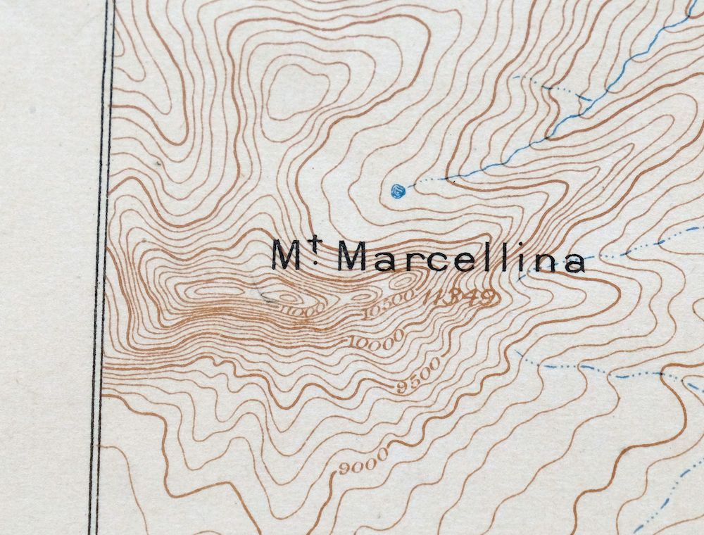
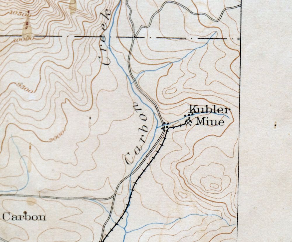
| MAP NOTES | A fascinating historical snapshot of the area west of Crested Butte, depicting the mining ghost towns of Irwin, Elkton, Pittsburgh, and Mount Carbon during their heyday, with historic routes and rail lines. |
| SHEET CONDITION For maps of this vintage, effort is made to note all visible flaws, no matter how minor. | |
| OVERALL CONDITION | Fair |
| SHEET NOTES | moderately handled, has foldlines, lightly age-toned paper, clear archival tape carefully applied on backside of sheet to reinforce some weakened foldlines or to repair minor separations along foldlines, age discoloration along some foldlines |
| MAP AREA | moderate wear, no markings, moderate blemishes |
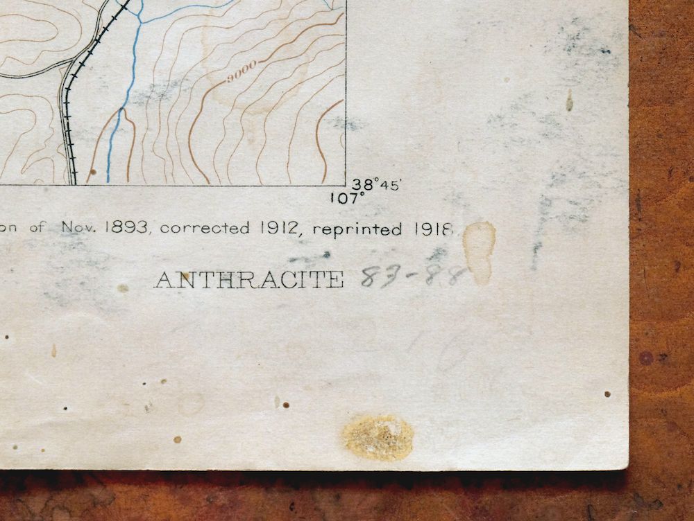
| COLLARS | considerable blemishes in lower right collars, bordering sheet titles labeled in pencil |
  | |
| MAP COVERAGE Quadrangle extent overlaid on current basemap. | |
| BACKSIDE LEGEND | |
 A map summary is printed on the back side of the Anthracite sheet similar to the one shown in the picture. It outlines the history, purpose, and status of the USGS mapping program at the time of the printing in 1918. It also provides instructions on how to read contour lines and a description of how they are used to depict the terrain. At the bottom of the page is a legend showing all of the symbols used to represent the cultural, relief, and water features found on the map. | |
| PLACENAMES Depending on map series and survey date, all of the features listed below may not be shown on this map. This list contains features that currently exist or historically existed within the area covered by the map. The list can be used as a reference to determine if this map covers your area of interest. Placenames are listed alphabetically next to each feature type. | |
| COUNTIES COVERED | Gunnison |
| FEDERAL LAND UNITS | Gunnison National Forest, Maroon Bells-Snowmass Wilderness, Raggeds Wilderness, and West Elk Wilderness |
| RIVERS AND STREAMS | Ant Creek, Anthracite Creek, Buck Creek, Carbon Creek, Castle Creek, Cliff Creek, Coal Creek, Dyke Creek, East River, Elk Creek, Gold Creek, Grouse Spring Creek, Little Pass Creek, Little Robinson Creek, Middle Anthracite Creek, Middle Creek, Munsey Creek, Oh-be-joyful Creek, Ohio Creek, Pass Creek, Ruby Anthracite Creek, Sardine Creek, Schaefer Creek, Silver Creek, Slate River, Trout Creek, and Wildcat Creek |
| WATER BODIES | Copley Lake, Dollar Lake, Lost Lake, Lower Peeler Lake, Meridian Lake Reservoir, Nicholson Lake, Peanut Lake, and Upper Peeler Lakes |
| Locations: Castle Creek Cow Camp, Lake Irwin Campground, Lost Lake Campground, and West Side Cow Camp. Mountain Ranges: Anthracite Range and Ruby Range. Mountains, Peaks, and Summits: Afley Peak, Anthracite Mesa, Augusta Mountain, Mount Axtell, Mount Baldy, Carbon Peak, Carfield Peak, Cascade Mountain, Cinnamon Mountain, East Beckwith Mountain, Mount Emmons, Gothic Mountain, Hancock Peak, Marcellina Mountain, Mineral Point, Oh-be-joyful Peak, Ohio Peak, Mount Owen, Peeler Peak, Prospect Point, Purple Mountain, Purple Peak, Richmond Mountain, Ruby Peak, and Schuylkill Mountain. Valleys and Canyons: Bear Gulch, Poverty Gulch, Rustler Gulch, and Splains Gulch. Parks: Gothic Natural Area and Raggeds Wilderness. Trails: Munsey Ruby Stock Driveway. Drainages: Ant Creek, Bracken Creek, Buck Creek, Castle Creek, Dyke Creek, Elk Creek, Gold Creek, Hell Creek, Little Pass Creek, Middle Anthracite Creek, Middle Creek, North Anthracite Creek, Oh-be-joyful Creek, Pass Creek, Quigley Creek, Rock Creek, Ruby Anthracite Creek, Sardine Creek, Silver Creek, South Castle Creek, Trout Creek, West Red Creek, and Wildcat Creek. Mines: Alpine Mine, Augusta Mine, Belcher Mine, Black Diamond Mine, Baldwin Mine, Fan Mine, Forest Queen Mine, Carbon Creek Mine, Crested Butte Mine, Daisy Mine, Emmon Mountain Mining and Milling Mine, Holly Mine, Horace Mine, Iron Swamp Mine, Keystone Mine, Kubler Mine, La Plant Mine, Micawber Mine, Mount Emmons Mine, Mountain Gem Mine, New Baldwin Mine, Nu Mine, O F Lode Mine, Painter Boy Mine, Paradise Mine, Peanut Mine, Pittsburg Mine, Redwell Basin Mine, Richardson Mine, Ruby King Mine, Ruby Mine, Ruby Mining Property Mine, Smith Hill Mine, Spencer Mine, Standard Mine, and Superior Mine. Lakes and Ponds: Blue Lake, Copley Lake, Costo Lake, Dollar Lake, Green Lake, Lily Lake, Lost Lake, Lost Lake Slough, Lower Peeler Lake, Meridian Lake, Nicholson Lake, Peeler Lakes, Sheep Lake, and Upper Peeler Lakes. Dams: E Beckwith Number 1 Dam, Lake Brennand Dam, and Meridian Lake Dam. Bluffs: Devils Stairway. Gaps: Angel Pass, Beckwith Pass, Castle Pass, Daisy Pass, Gunsight Pass, Kebler Pass, Oh-be-joyful Pass, Ohio Pass, and Swampy Pass. Canals: Castle Creek Number 1 Ditch and Elze Webber Ditch. Basins: Baxter Basin, Buck Basin, Evans Basin, Coon Basin, Democrat Basin, Dippold Basin, Elk Basin, Gold Basin, Independence Basin, Little Silver Basin, Paradise Basin, Peeler Basin, Red Lady Basin, Redwell Basin, Robinson Basin, Silver Basin, Swan Basin, and Wolverine Basin. Ridges: The Dyke, Gibson Ridge, Lightning Ridge, Scarp Ridge, Snowline Ridge, and Storm Ridge. Reservoirs and Tanks: E Beckwith Reservoir Number 1, Lake Brennand, Lake Irwin, and Meridian Lake Reservoir. Flats: Horse Ranch Park. | |
| SHIPPING AND RETURNS | |
 This map sheet will be carefully rolled in a sturdy tube and shipped via the US Postal Service. If you find that the sheet you receive is not as described in the listing, you may ship it back to us for a refund of the purchase price. | |
Anthracite Colorado USGS 15-Min Topographic Map 1918 Antique
$38
First published in 1893 with Henry Gannett as geographer, this Anthracite sheet was printed in 1918 and survives in fair condition, on thick stock, with foldlines, lightly age-toned paper, and clear archival tape carefully applied to the backside to reinforce some weakened foldlines. Drawn from an 1883 and 1888 field survey, the quad sits in Gunnison County west of Crested Butte and takes in portions of Gunnison National Forest along with parts of the West Elk, Raggeds, and Maroon Bells-Snowmass Wilderness areas. It captures the mining ghost towns of Irwin, Elkton, Pittsburgh, and Mount Carbon during their heyday, along with the historic routes and rail lines that once served them. The reverse carries printed USGS reference material from the time of printing.
In stock
This antique sheet is an 1893 edition of the Anthracite Colorado USGS topographic map. It is an authentic 108-year-old 1918 United States Geological Survey print in fair condition.
HOW THIS MAP CAN BE USED
In addition to making a fascinating conversation piece, this sheet would make a unique and prized gift for anyone interested in this area, be perfect as a reference for genealogy studies or general historical research, or fill that missing piece in your collection.
FEATURES SHOWN ON THE MAP
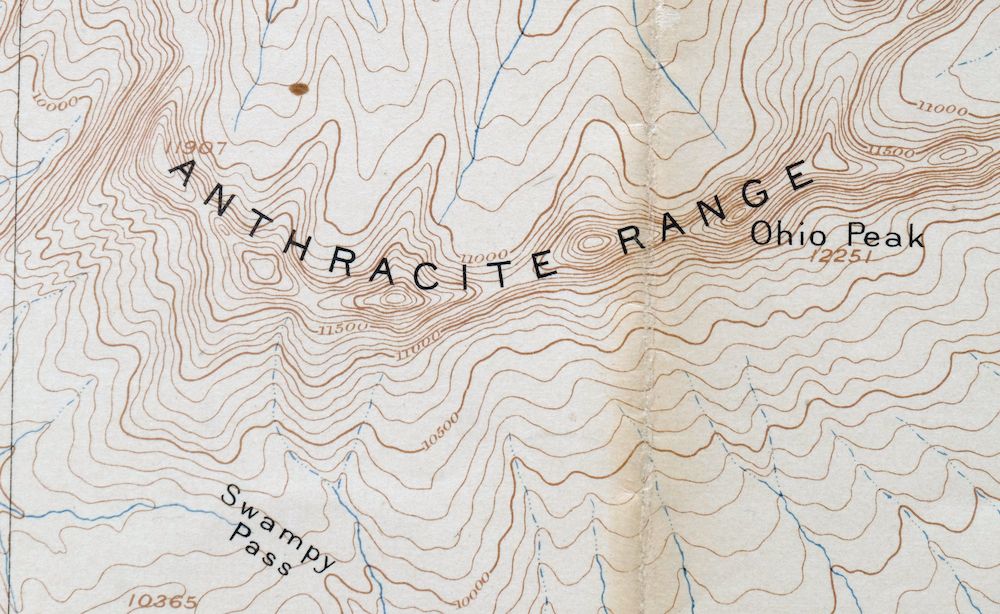
The Anthracite 15-minute map shows cities and towns, roads, railroads, rivers, creeks, elevation contour lines, public land survey lines, county, state, and other administrative boundaries as they existed at the time of the survey in 1883 and 1888. All known structures (houses, businesses, churches, schools, barns, cabins, etc) are also shown, with exceptions in some urban areas, where only landmark buildings may be shown.
A VALUABLE HISTORICAL RECORD
Maps from the 15-minute series for the continental United States are no longer produced or printed by the USGS and original prints are becoming increasingly difficult to find. They are a valuable historical record for an area, as they contain many placenames and features that have been dropped from more recent maps.
Nearby maps
-
Poncha Springs Colorado Salida Nathrop USGS Topo Map 1970
$41 Add to cart -
Highland Peak Colorado Snowmass Village USGS Topo Map 1988
$43 Add to cart -
Aspen Colorado USGS 7.5-Min Topographic Map 1964 Vintage
$48 Add to cart -
Iola Colorado USGS 7.5-Min Topographic Map 1963 Vintage
$31 Add to cart -
Leon White River NF Colorado USGS 7.5-Min Topo Map 1988
$36 Add to cart -

Mount Massive Colorado USGS 7.5-Min Topo Map 1975 Vintage
$36 Add to cart -

Red Cliff Colorado Vail USGS 7.5-Min Topo Map 1988 Vintage
$35 Add to cart -
Vail West Colorado Avon USGS 7.5-Min Topo Map 1973 Vintage
$38 Add to cart -
Grand Hogback Colorado Rifle Silt USGS Topographic Map 1959
$35 Add to cart -
Vail East Colorado USGS 7.5-Min Topographic Map 1973 Vintage
$37 Add to cart -

Frisco Colorado Dillon Reservoir Dillon USGS Topo Map 1973
$38 Add to cart -
Silverton Colorado Camp Bird USGS Topo Map 1962 Vintage
$34 Add to cart -

Roan Creek Colorado USGS 15-Min Topographic Map 1950 Vintage
$39 Add to cart -
Grand Junction Colorado Redlands USGS Topo Map 1964 Vintage
$58 Add to cart -

Keystone Colorado USGS 7.5-Min Topographic Map 1963 Vintage
$35 Add to cart -

Mount Powell Colorado Gore Range USGS Topo Map 1940 Antique
$32 Add to cart -
Montezuma Colorado Keystone USGS 15-Min Topographic Map 1926
$65 Add to cart -
Shawnee Colorado Singleton USGS Topographic Map 1972 Vintage
$39 Add to cart -
Georgetown Colorado Silver Plume USGS Topo Map 1962 Vintage
$33 Add to cart -
Georgetown Colorado Idaho Springs USGS Topo Map 1980 Vintage
$42 Add to cart -
Electric Peak Colorado Sangre de Cristo USGS Topo Map 1974
$33 Add to cart -
Bailey Colorado Will-O-The-Wisp Wandcrest USGS Topo Map 1973
$40 Add to cart -
Hot Sulphur Springs Colorado Parshall USGS Topo Map 1963
$39 Add to cart -

Daton Peak Colorado Routt NF Hayden USGS Topo Map 1965
$28 Add to cart