MAP DETAILS | |
|---|---|
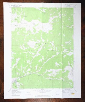
| TITLE | Cameron Mountain |
| STATE | Colorado |
| SURVEYED | 1953 and 1956 Aerial and Field Survey |
| PRINT NOTES | Thick paper stock, includes woodland tint (green to indicate vegetated areas). A reddish tint is used to indicate urban areas where only landmark buildings are shown. |
| SCALE | 1:62500 |
| CONTOUR INTERVAL | 40 feet |
| SHEET DIMENSIONS | 18 x 22 inches |
| MAP DIMENSIONS | 13 5/8 x 17 1/2 inches |
| COVERAGE AREA | 13 x 17 miles |
| SHEET CONDITION For maps of this vintage, effort is made to note all visible flaws, no matter how minor. | |
| SHEET NOTES | lightly handled, never folded |
| MAP AREA | flawless map area |
| COLLARS | no markings, no blemishes, minor edge and handling wear in bottom collar |
| MAP COVERAGE Quadrangle extent overlaid on current basemap. | |
| PLACENAMES Depending on map series and survey date, all of the features listed below may not be shown on this map. This list contains features that currently exist or historically existed within the area covered by the map. The list can be used as a reference to determine if this map covers your area of interest. Placenames are listed alphabetically next to each feature type. | |
| NOTABLE PLACES | Salida, Badger Creek, and Big Baldy Mountain |
| COUNTIES COVERED | Chaffee, Fremont, and Park |
| FEDERAL LAND UNITS | San Isabel National Forest |
| RIVERS AND STREAMS | Arkansas River, Bear Creek, Bills Creek, Cottonwood Creek, East Badger Creek, Gribbles Run, Herring Creek, Little Badger Creek, Monument Creek, Quagmire Creek, Rock Creek, Running Creek, Rye Slough, South Arkansas River, Steer Creek, Two Creek, Ute Creek, Wagon Tongue Creek, and Willow Creek |
| WATER BODIES | Ankele Lake |
| Locations: Bassam Guard Station, Everett Cow Camp, Fehling Ranch, Firees Ranch, Gold Bug Mine, Minnman Ranch, and Oklahoma State University Engineering Camp. Mountains, Peaks, and Summits: Big Baldy Mountain, Bull Hill, Calumet Mountain, Cameron Mountain, The Crater, Creep Mountain, Green Mountain, Jack Hall Mountain, Jack Rabbit Hill, Little Baldy Mountain, The Mascot, Rick Mountain, and Tenderfoot Hill. Valleys and Canyons: Antelope Gulch, Bails Gulch, Banning Cabin Gulch, Bull Gulch, Burnt Timber Gulch, Cable Gulch, Calf Gulch, Cals Fork Gulch, Cat Gulch, Cottonwood Gulch, Cow Gulch, Crater Gulch, Cutler Gulch, Dead Horse Gulch, Futurity Gulch, Heister Gulch, Hells Hole Gulch, Little Bull Gulch, Loggie Gulch, Long Gulch, Longfellow Gulch, Marble Quarry Gulch, Mayflower Gulch, Mill Gulch, Mohawk Gulch, Sweetwater Gulch, Tombstone Gulch, and Trap Gulch. Trails: Ute Trail. Drainages: Bear Creek, Bills Creek, East Badger Creek, Gribbles Run, Herring Creek, Little Badger Creek, Rock Creek, Running Creek, Rye Slough, South Arkansas River, Steer Creek, Two Creek, Wagon Tongue Creek, and Willow Creek. Mines: Allard Beryllium Mine, American Flag Mine, Anaconda Mine, Badger Creek Mine, Bonus Extension Mine, Buckley Hill Mine, Federal Quarry, Calumet Iron Mine, Cooper Mine, Crete Mine, Dangerfield Mine, Free Town Lode Mine, Golden Island Mine, Golden Wonder Mine, Gypsy Queen Mine, Herksberger Tunnel Mine, Holdredge Mine, Homestake Mine, Last Chance Prospect Mine, M and W Mine, Mascot Mine, Maverick Gulch Mine, Midwest Quarry, Nutmeg Mine, Rock King Lode Mine, Savilla Queen Number Two Mine, Stockton Mine, Sunset Mine, Tumble Mountain Quarry, Turret Independence Mine, Vivandiere Mine, and Whispering Pine Mine. Lakes and Ponds: Ankele Lake. Airports: Salida Hospital Heliport. Schools: Longfellow School and Saint Joseph School. Ridges: Aspen Ridge, Graphite Ridge, and Loco Ridge. Flats: Coons Park, Gribbles Park, and Herring Park. Springs: Ankele Spring, Black Diamond Spring, Cable Spring, Cutler Spring, Grouse Spring, Hollenbeck Spring, Manoa Springs, Midway Spring, Mud Spring, Rock Spring, Sawmill Spring, School Section Spring, Suckerville Spring, Ute Trail Spring, and Willard Spring. | |
| SHIPPING AND RETURNS | |
 Ships carefully rolled in a sturdy 2" x 24" mailing tube. Shipping and return details are in our terms. | |
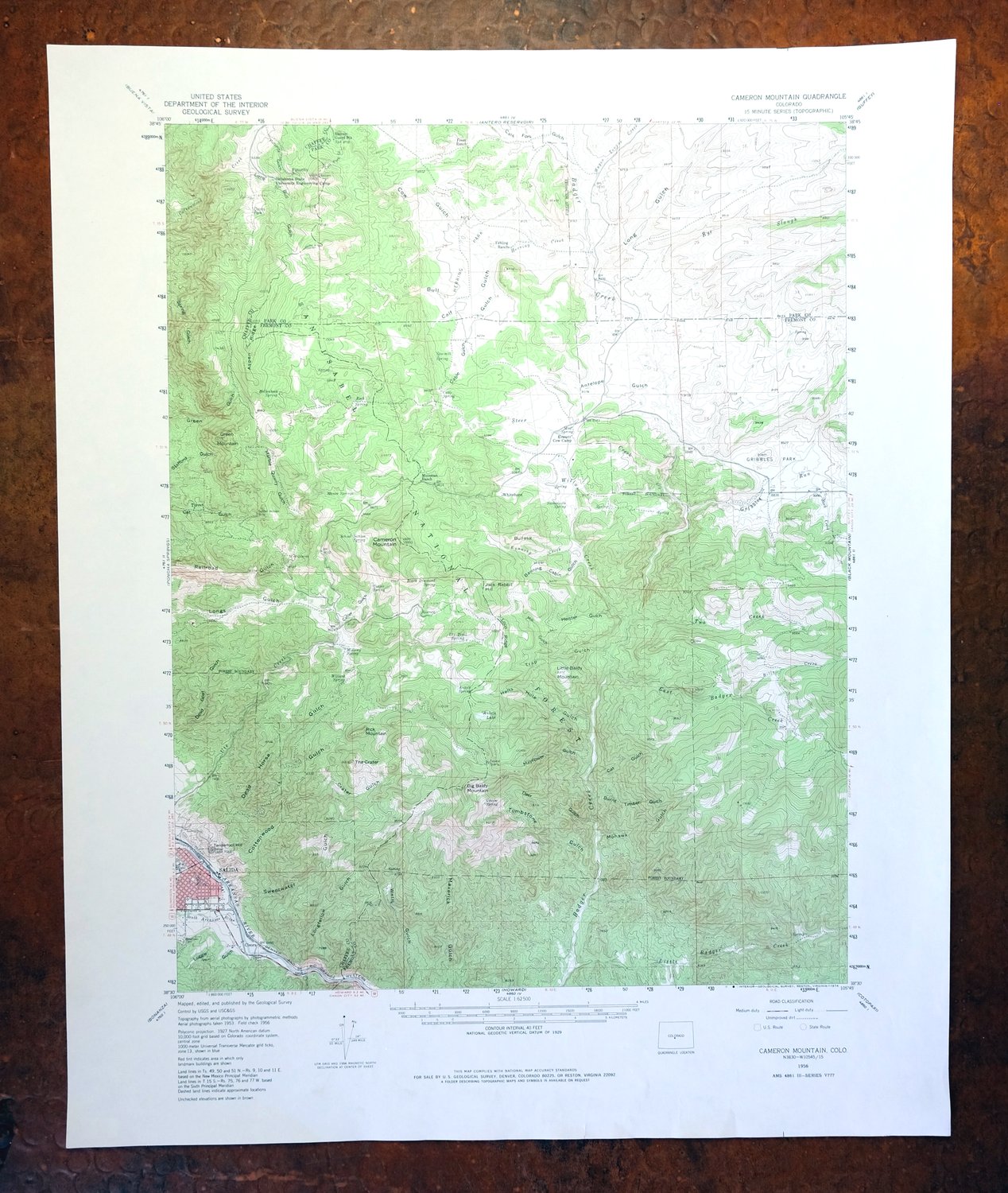
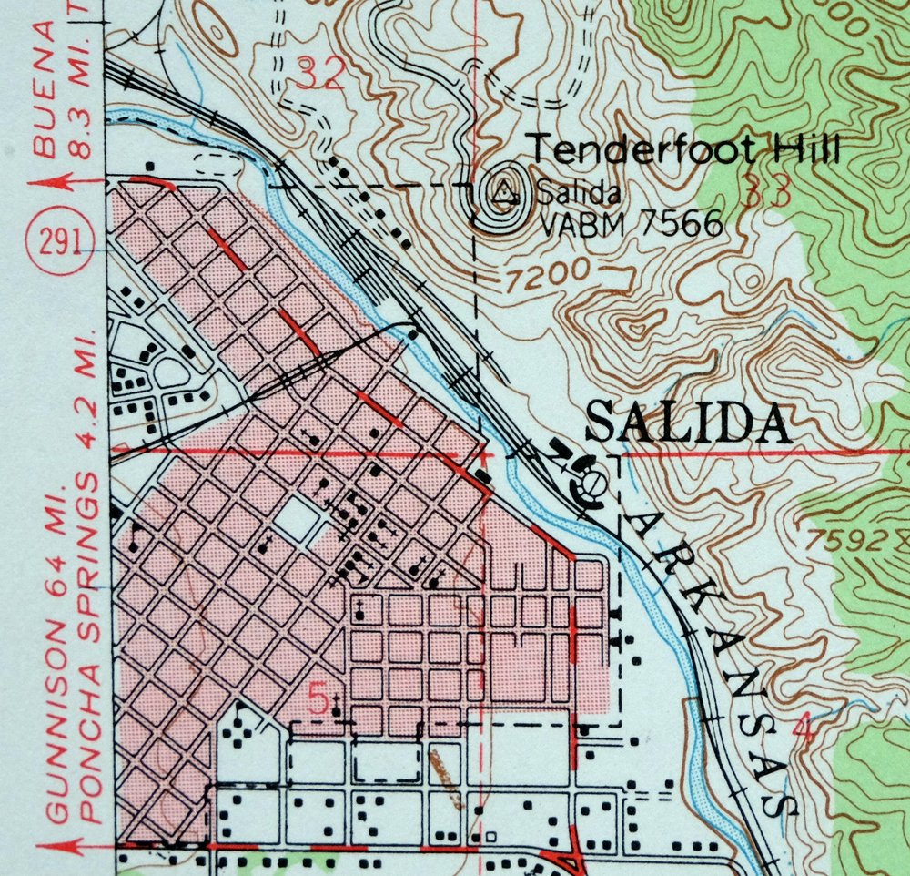
Cameron Mountain, Colorado 1956 USGS Topo Map (1975 Print)
$35
- Vicinity of Salida.
- 15-minute series, 1956 edition, printed in 1975.
- Very good condition, never folded.
In stock
This vintage sheet is a 1956 edition of the Cameron Mountain Colorado USGS topographic map. It is an original 51-year-old 1975 United States Geological Survey print in very good condition.
HOW THIS MAP CAN BE USED
In addition to making a fascinating conversation piece, this sheet would look great in a frame or on display, make a unique and prized gift for anyone interested in this area, be perfect as a reference for genealogy studies or general historical research, or fill that missing piece in your collection. Maps of this vintage are printed on durable stock and are well-suited for outdoor activities and recreation of all kinds, including hiking, backpacking, hunting, rafting and kayaking, backcountry skiing, geocaching, general exploration, treasure hunting, etc.
FEATURES SHOWN ON THE MAP
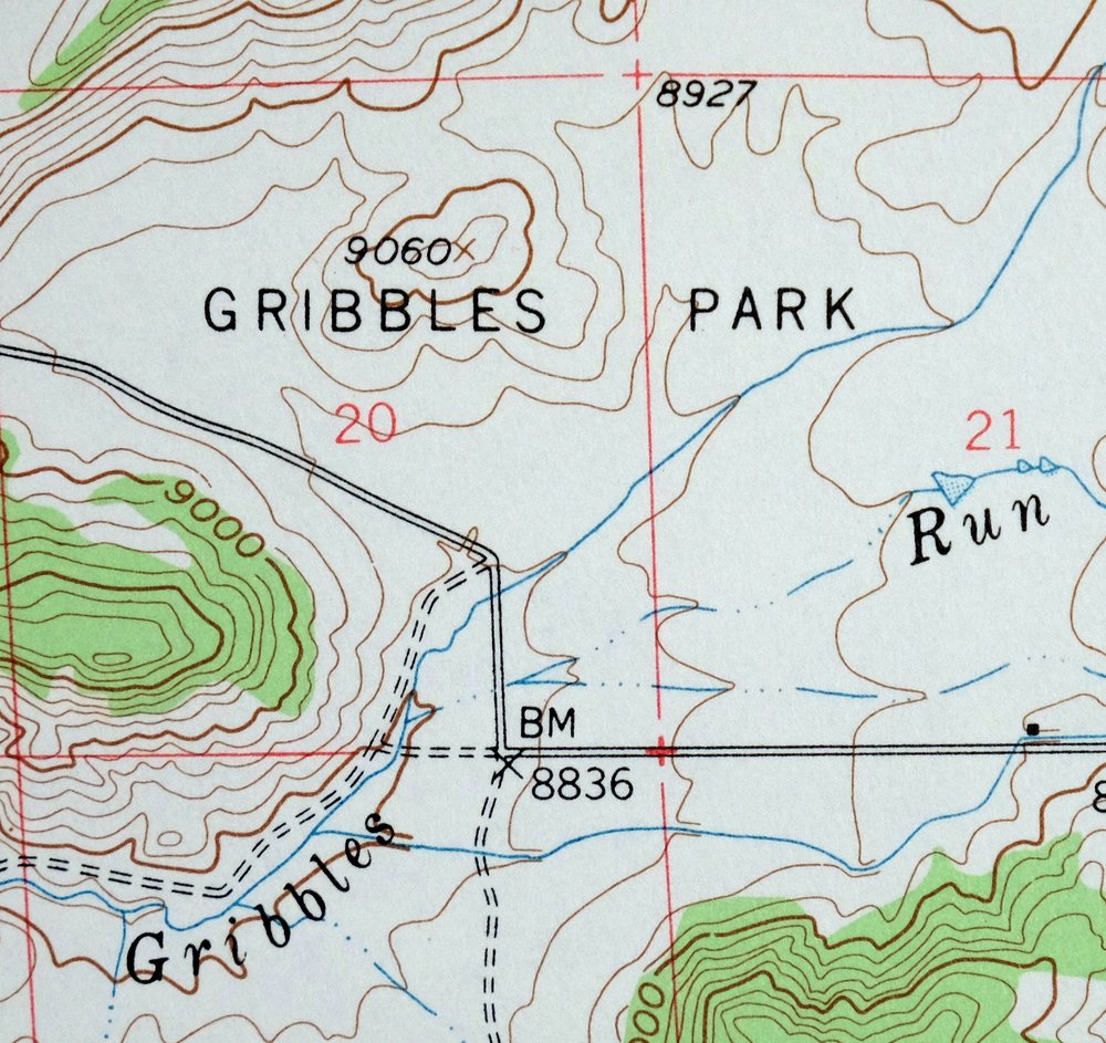
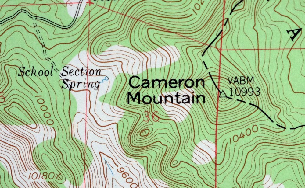
The Cameron Mountain 15-minute map shows cities and towns, roads, railroads, utilities and energy infrastructure, rivers, creeks, elevation contour lines, public land survey lines, county, state, and other administrative boundaries as they existed at the time of the survey in 1953 and 1956. A reddish tint is used on this sheet to indicate urban areas where only landmark buildings are depicted. Outside of those areas, all known structures (houses, businesses, churches, schools, barns, cabins, etc) are shown.
A VALUABLE HISTORICAL RECORD
Maps from the 15-minute series for the continental United States are no longer produced or printed by the USGS and original prints are becoming increasingly difficult to find. They are a valuable historical record for an area, as they contain many placenames and features that have been dropped from more recent maps.
Nearby maps
-
Poncha Springs, Colorado 1956 USGS Topo Map: Salida
$41 Add to cart -
Black Mountain, Loco Mountain, Colorado 1959 USGS Topo Map
$22 Add to cart -
Bonanza, Colorado 1959 USGS Topo Map: Mount Ouray
$29 Add to cart -
Cotopaxi, Colorado 1959 USGS Topo Map: Arkansas River Canyon
$31 Add to cart -
Garfield, Colorado 1945 USGS Topo Map: Monarch Pass
$32 Add to cart -
Garfield, Colorado 1940 USGS Topo Map (1974 Print)
$43 Add to cart -
Mount Harvard, Colorado 1955 USGS Topo Map: Sawatch Range
$39 Add to cart -
Royal Gorge, Galena, Colorado 1959 USGS Topo Map
$37 Add to cart -
Electric Peak, Colorado 1959 USGS Topo Map: Sangre de Cristo
$32 Add to cart -
1967 USGS Topo Map: Mount Elbert, Sawatch Range, Colorado
$36 Add to cart -

Mount Massive, Sawatch Range, Colorado 1967 USGS Topo Map
$35 Add to cart -
Shawnee, Colorado 1945 USGS Topo Map: Singleton (1972 Print)
$29 Add to cart -
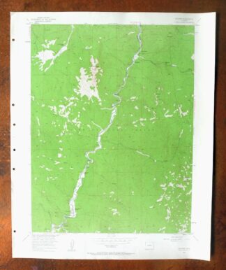
Deckers, Pike NF, Colorado 1954 USGS Topo Map
$22 Add to cart -
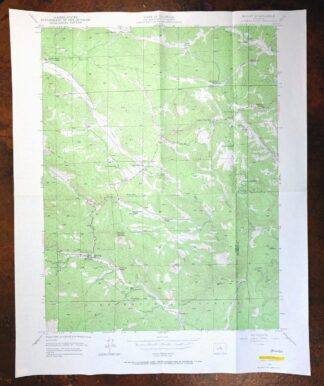
Bailey, Colorado 1945 USGS Topo Map (1973 Print)
$32 Add to cart -
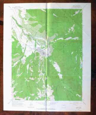
Aspen, Buttermilk, Colorado 1960 USGS Topo Map
$40 Add to cart -

1958 USGS Topo Map: Keystone, Tiger, Colorado
$34 Add to cart -
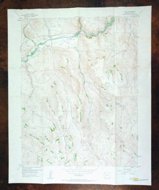
Iola, Elkhorn, Colorado 1954 USGS Topo Map (Vintage Print)
$30 Add to cart -

Frisco, Dillon Reservoir, Colorado 1970 USGS Topo Map
$37 Add to cart -
Pueblo, Colorado 1897 USGS Topo Map (1923 Print)
$64 Add to cart -
Platte Canyon, Colorado 1945 USGS Topo Map: Foxton
$45 Add to cart -
1926 USGS Topo Map: Montezuma, Keystone, Colorado
$53 Add to cart -
Montezuma, Keystone, Colorado 1958 USGS Topo Map
$41 Add to cart -

Red Cliff, Colorado 1970 USGS Topo Map (1988 Print)
$34 Add to cart -
Red Cliff, Colorado 1970 USGS Topo Map: Vail Ski Resort
$49 Add to cart