MAP DETAILS | |
|---|---|
| TITLE | Last Chance Range |
| STATE | California, Nevada |
| LOCATION | Death Valley National Park, 40 miles northeast of Independence |
| SERIES | 15-minute |
| SURVEYED | 1952 and 1958 Aerial and Field Survey |
| EDITION | 1958 |
| PRINTED | 1976 |
| PRINT NOTES | Thick paper stock |
| SCALE | 1:62500 |
| CONTOUR INTERVAL | 80 feet |
| SHEET DIMENSIONS | 18 x 22 inches |
| MAP DIMENSIONS | 14 x 17 1/2 inches |
| COVERAGE AREA | 14 x 17 miles |
| SHEET CONDITION For maps of this vintage, effort is made to note all visible flaws, no matter how minor. | |
| OVERALL CONDITION | Excellent |
| SHEET NOTES | lightly handled, never folded, smooth and flat |
| MAP AREA | flawless map area |
| COLLARS | no markings, no blemishes, no edge tears |
| MAP COVERAGE Quadrangle extent overlaid on current basemap. | |
| PLACENAMES Depending on map series and survey date, all of the features listed below may not be shown on this map. This list contains features that currently exist or historically existed within the area covered by the map. The list can be used as a reference to determine if this map covers your area of interest. Placenames are listed alphabetically next to each feature type. | |
| NOTABLE PLACES | Death Valley, Crater, and Eureka Valley |
| COUNTIES COVERED | Esmeralda and Inyo |
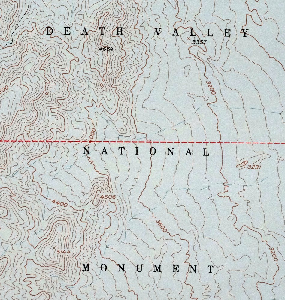
| FEDERAL LAND UNITS | Death Valley National Park and Death Valley Wilderness |
| RIVERS AND STREAMS | Cottonwood Creek |
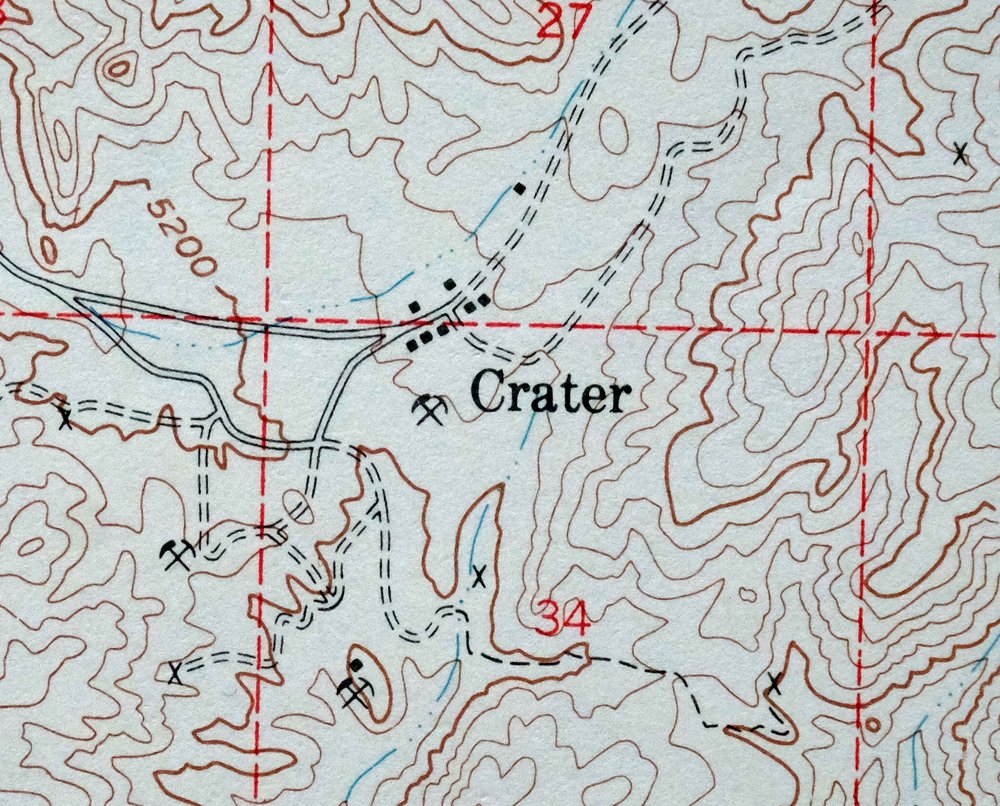
| California Populated Place: Crater. Mountains, Peaks, and Summits: Eureka Dunes. Valleys and Canyons: Dedeckera Canyon and Hanging Rock Canyon. Drainages: Oriental Wash. Basins: Eureka Valley. Springs: Little Sand Spring and Sand Spring. | |
| Nevada Drainages: Cottonwood Creek and Oriental Wash. | |
| SHIPPING AND RETURNS | |
 This map sheet will be carefully rolled in a sturdy tube and shipped via the US Postal Service. If you find that the sheet you receive is not as described in the listing, you may ship it back to us for a refund of the purchase price. | |
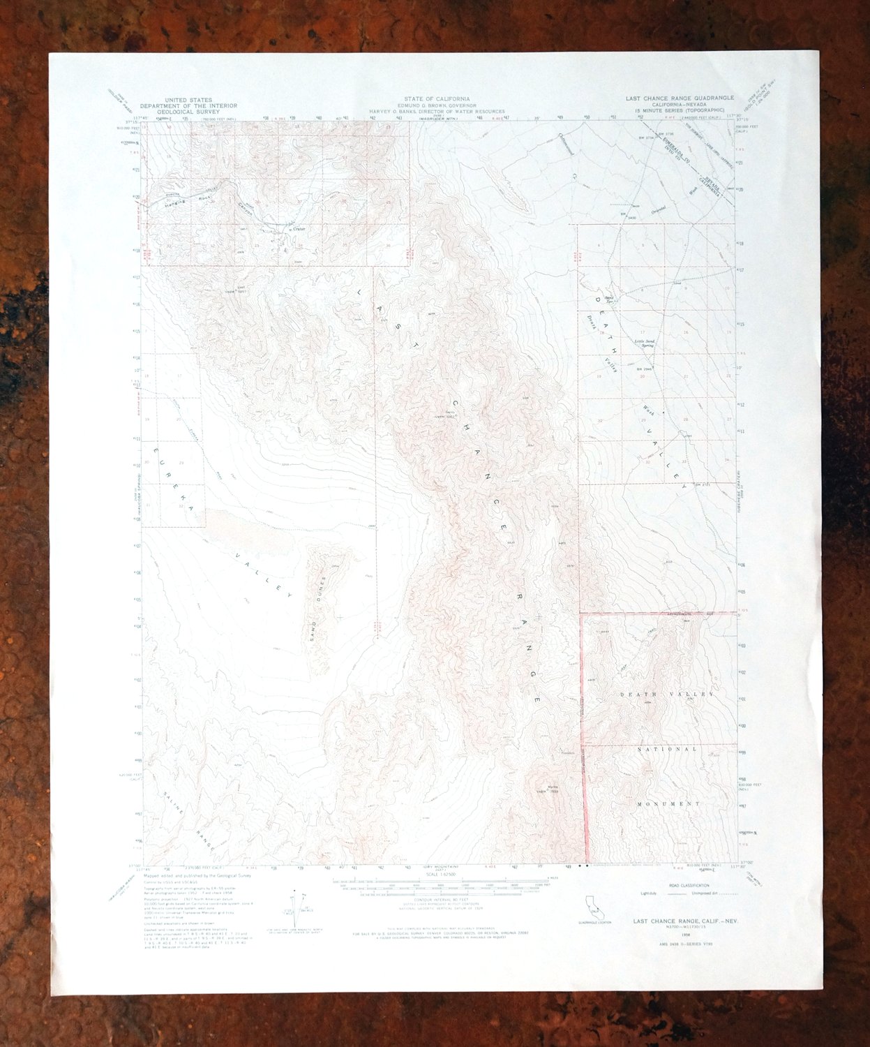
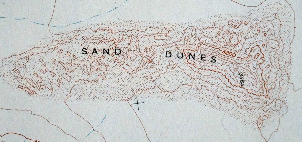
1976 Last Chance Range California/Nevada USGS Topo Map
$38
This 15-minute topographic map of the Last Chance Range, printed in 1976 from a 1958 edition, sits along the California-Nevada line about 40 miles northeast of Independence. Drawn at 1:62,500 from aerial and field surveys of 1952 and 1958, the quad covers rugged desert terrain in Inyo and Esmeralda counties, taking in Eureka Valley and parts of what is now Death Valley National Park and its wilderness. Never folded and still smooth and flat on thick stock, it suits framing. The range’s remote, waterless folds remain some of the least-traveled country in the park.
In stock
This vintage sheet is a 1958 edition of the Last Chance Range California USGS topographic map. It is an original 50-year-old 1976 United States Geological Survey print in excellent condition.
HOW THIS MAP CAN BE USED
In addition to making a fascinating conversation piece, this sheet would look great in a frame or on display, make a unique and prized gift for anyone interested in this area, be perfect as a reference for genealogy studies or general historical research, or fill that missing piece in your collection. Maps of this vintage are printed on durable stock and are well-suited for outdoor activities and recreation of all kinds, including hiking, backpacking, hunting, rafting and kayaking, backcountry skiing, geocaching, general exploration, treasure hunting, etc.
FEATURES SHOWN ON THE MAP
The Last Chance Range 15-minute map shows cities and towns, roads, railroads, utilities and energy infrastructure, rivers, creeks, elevation contour lines, public land survey lines, county, state, and other administrative boundaries as they existed at the time of the survey in 1952 and 1958. All known structures (houses, businesses, churches, schools, barns, cabins, etc) are also shown.
A VALUABLE HISTORICAL RECORD
Maps from the 15-minute series for the continental United States are no longer produced or printed by the USGS and original prints are becoming increasingly difficult to find. They are a valuable historical record for an area, as they contain many placenames and features that have been dropped from more recent maps.
Nearby maps
-
Ubehebe Crater California USGS 15-Min Topo Map 1972 Vintage
$37 Add to cart -
Ubehebe Peak California USGS 15-Min Topo Map 1966 Vintage
$47 Add to cart -
1972 USGS Topo Map: Marble Canyon, Death Valley, California
$43 Add to cart -
Stovepipe Wells California USGS 15-Min Topo Map 1969 Vintage
$42 Add to cart -

Mount Pinchot California USGS 15-Min Topo Map 1969 Vintage
$26 Add to cart -
Bishop California West Bishop Laws USGS Topographic Map 1969
$40 Add to cart -
Panamint Butte California USGS 15-Min Topo Map 1967 Vintage
$39 Add to cart -
Chloride Cliff California Furnace Creek USGS Topo Map 1967
$45 Add to cart -
Mount Whitney California USGS 15-Min Topo Map 1972 Vintage
$42 Add to cart -
1968 USGS Topo Map: Furnace Creek, Death Valley, California
$49 Add to cart -
Blackcap Mountain California USGS Topo Map 1972 Vintage
$40 Add to cart -
1973 USGS Topo Map: Mount Abbot, Sierra Nevada, California
$48 Add to cart -
Telescope Peak California USGS 15-Min Topo Map 1973 Vintage
$38 Add to cart -
Mount Morrison California Mammoth Lakes USGS Topo Map 1974
$52 Add to cart -
Huntington Lake California Shaver Lake USGS Topo Map 1968
$43 Add to cart -
Camp Nelson California USGS 15-Min Topo Map 1977 Vintage
$40 Add to cart -
Ivanhoe California Woodlake USGS Topo Map 1946 Vintage
$34 Add to cart -
California Hot Springs California USGS Topo Map 1974 Vintage
$46 Add to cart -
Exeter California Visalia Ivanhoe USGS Topographic Map 1944
$37 Add to cart -
1973 USGS Topo Map: Tuolumne Meadows, California
$48 Add to cart -
Sanger Del Ray Clotho California USGS 7.5-Min Topo Map 1923
$30 Add to cart -
Selma California Fresno Sanger USGS Topo Map 1954 Vintage
$35 Add to cart -

Quincy School California White River USGS Topo Map 1929
$30 Add to cart -

Sausalito School California USGS Topo Map 1929 Antique
$25 Add to cart