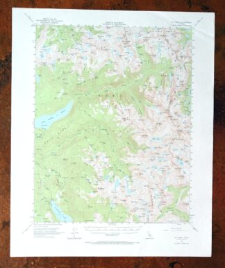
MAP DETAILS | |
|---|---|
| TITLE | Mount Abbot |
| STATE | California |
| LOCATION | 65 miles northeast of Fresno |
| SERIES | 15-minute |
| SURVEYED | 1951 and 1953 Aerial and Field Survey |
| EDITION | 1953 |
| PRINTED | 1973 |
| PRINT NOTES | Thick paper stock, includes woodland tint (green to indicate vegetated areas) |
| SCALE | 1:62500 |
| CONTOUR INTERVAL | 80 feet |
| SHEET DIMENSIONS | 18 x 22 inches |
| MAP DIMENSIONS | 13 7/8 x 17 1/2 inches |
| COVERAGE AREA | 14 x 17 miles |
| SHEET CONDITION For maps of this vintage, effort is made to note all visible flaws, no matter how minor. | |
| OVERALL CONDITION | Excellent |
| SHEET NOTES | very lightly handled, never folded, smooth and flat |
| MAP AREA | flawless map area |
| COLLARS | no wear or tears, no markings, no blemishes |
| MAP COVERAGE Quadrangle extent overlaid on current basemap. | |
| PLACENAMES Depending on map series and survey date, all of the features listed below may not be shown on this map. This list contains features that currently exist or historically existed within the area covered by the map. The list can be used as a reference to determine if this map covers your area of interest. Placenames are listed alphabetically next to each feature type. | |
| NOTABLE PLACES | Sierra Nevada, Silver Divide, and Florence Lake |
| COUNTIES COVERED | Fresno, Inyo, and Mono |
| FEDERAL LAND UNITS | Ansel Adams Wilderness, Dinkey Lakes Wilderness, Inyo National Forest, John Muir Wilderness, and Sierra National Forest |
| RIVERS AND STREAMS | Bear Creek, Cirque Creek, Cold Creek, East Fork Bear Creek, East Pinnacles Creek, Fish Creek, Golden Creek, Hilgard Branch, Hilton Creek, Hooper Creek, Hopkins Creek, Laurel Creek, Lower Rock Creek, McGee Creek, Minnow Creek, Mono Creek, North Fork Mono Creek, Piute Creek, Silver Pass Creek, South Fork San Joaquin River, Turret Creek, and West Pinnacles Creek |
| WATER BODIES | Anne Lake, Apollo Lake, Arrowhead Lake, Aweetasal Lake, Bear Paw Lake, Beartrap Lake, Big Bear Lake, Big Chief Lake, Big McGee Lake, Big Moccasin Lake, Bighorn Lake, Black Bear Lake, Blue Jay Lakes, Box Lake, Brave Lake, Brown Bear Lake, Chalfant Lakes, Chamberlain Lake, Chickenfoot Lake, Chief Lake, Cirque Lake, Claw Lake, Coronet Lake, Cotton Lake, Crocker Lake, Dade Lake, Davis Lake, Den Lake, Depressed Lake, Devils Bathtub, Dutch Lake, First Recess Lakes, Flat Note Lake, Fourth Recess Lake, Frog Lake, Gem Lakes, Golden Lake, Gordon Lake, Grassy Lake, Graveyard Lakes, Grinnell Lake, Harvey Lake, Heart Lake, Hidden Lake, Hilgard Lake, Hilton Creek Lakes, Hooper Lake, Hortense Lake, Lake Italy, Izaak Walton Lake, Jawbone Lake, Jumble Lake, Lake Thomas A Edison, Lake Thomas A. Edison, Laurel Lake, Lee Lake, Little Grinnell Lake, Little McGee Lake, Lake of the Lone Indian, Long Lake, Lou Beverly Lake, Lower Honeymoon Lake, Lower Hopkins Lake, Lower Mills Creek Lake, Lower Turret Lake, Mace Lake, Marcella Lake, Marie Lake, Medley Lake, Merriam Lake, Mills Lake, Minnie Lake, Mist Lake, Mott Lake, Negit Lake, Neil Lake, Old Squaw Lake, Olive Lake, Orchid Lake, Papoose Lake, Pemmican Lake, Pendant Lake, Peter Pande Lake, Pioneer Basin Lakes, Ramona Lake, Red and White Lake, Rose Lake, Rosebud Lake, Ross Finch Lake, Royce Lakes, Ruby Lake, Sallie Keyyes Lakes, Sandpiper Lake, Seven Gables Lakes, Sharp Note Lake, Silver Pass Lake, Snow Lakes, Spearpoint Lake, Spire Lake, Squaw Lake, Stanford Lake, Steelhead Lake, Stub Lake, Summit Lake, Teddy Bear Lake, Third Recess Lake, Three Island Lake, Toe Lake, Tooth Lake, Trail Lakes, Treasure Lakes, Tully Lake, Upper Hopkins Lakes, Upper Mills Creek Lake, Ursa Lake, Vee Lake, Vermilion Lake, Ward Lake, Warrior Lake, White Bear Lake, and Wilbur May Lake |
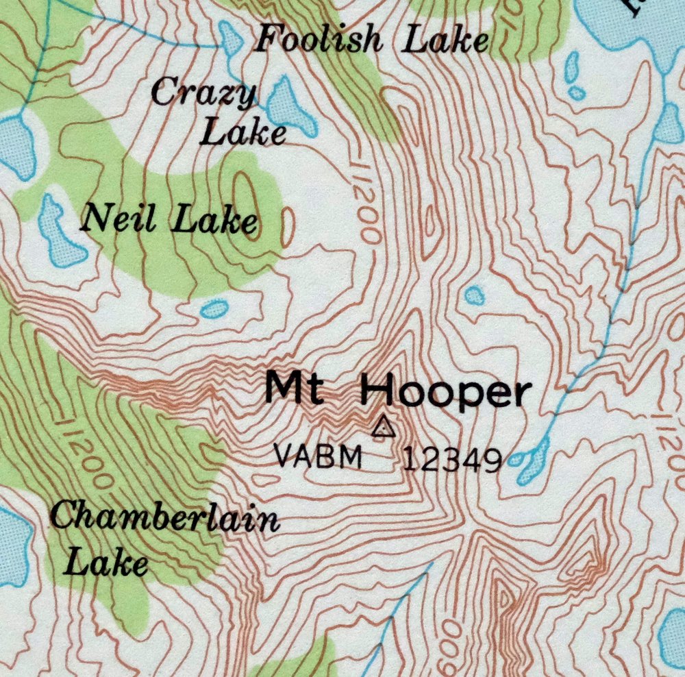
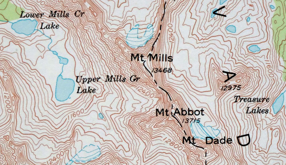
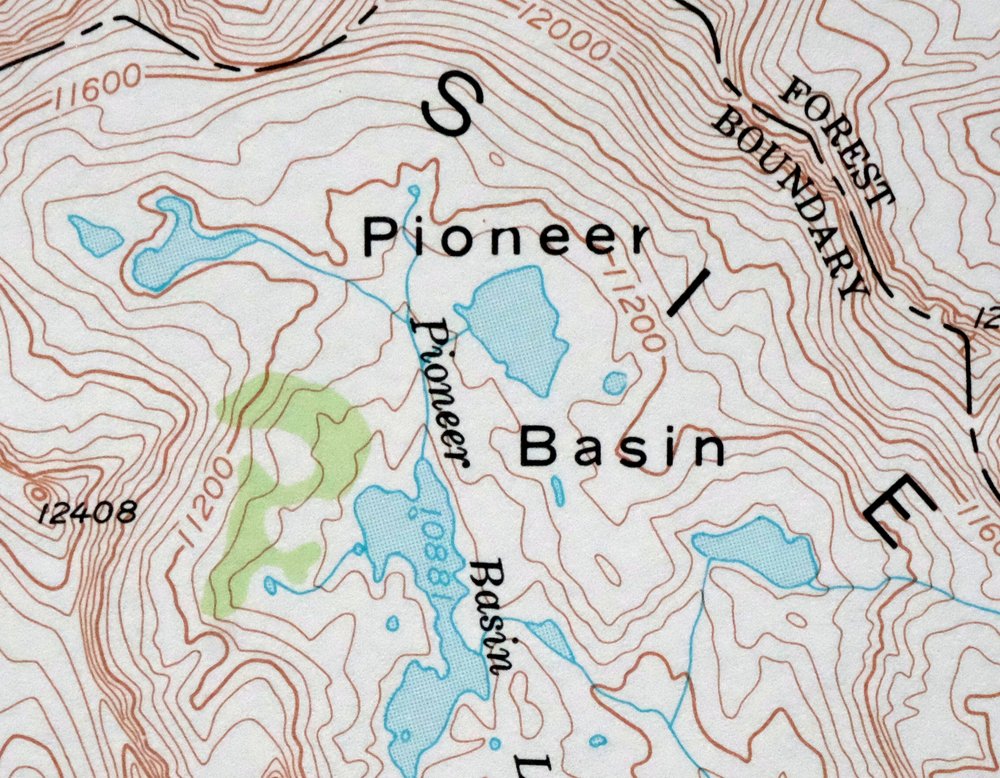
| Locations: Croneys Camp, Fish Camp, Florence Lake Campground, Florence Lake Resort, High Sierra Packstation, Jackass's Meadows Campground, Kip Camp, Lost Valley Pack Station, Mono Creek Campground, Mono Creek Packstation, Upper Vermillion Campground, and Ward Lake Campground. Mountains, Peaks, and Summits: Mount Abbot, Bear Creek Spire, Bear Dome, Mount Crocker, Mount Dade, Feather Peak, Florence Rock, Mount Gabb, Gemini, Graveyard Peak, Mount Hilgard, Mount Hooper, Mount Hopkins, Mount Huntington, Infant Buttes, Mount Izaak Walton, Jackass Dike, Mount Julius Caesar, Merriam Peak, Mount Mills, Mono Rock, North Rock, Pilot Knob, Recess Peak, Red and White Mountain, Royce Peak, Mount Seneger, Seven Gables, Mount Stanford, Mount Starr, Turret Peak, and Volcanic Knob. Valleys and Canyons: First Recess, Fourth Recess, French Canyon, Second Recess, and Third Recess. Drainages: Bear Creek, Cirque Creek, Crater Creek, East Fork Bear Creek, East Pinnacles Creek, Golden Creek, Hilgard Branch, Hooper Creek, Hopkins Creek, Laurel Creek, Mills Creek, North Fork Mono Creek, Silver Pass Creek, South Fork Bear Creek, Tombstone Creek, and West Fork Bear Creek. Islands: MacKenzie Island. Mines: Pick and Shovel Mine. Lakes and Ponds: Anne Lake, Arrowhead Lake, Apollo Lake, Aweetasal Lake, Bear Paw Lake, Bear Twin Lakes, Beartrap Lake, Big Bear Lake, Big Chief Lake, Big McGee Lake, Big Moccasin Lake, Bighorn Lake, Black Bear Lake, Blue Jay Lakes, Box Lake, Brave Lake, Brown Bear Lake, Chalfant Lakes, Chamberlain Lake, Chevaux Lake, Chickenfoot Lake, Chief Lake, Cirque Lake, Claw Lake, Coronet Lake, Cotton Lake, Council Lake, Crazy Lake, Crocker Lake, Dade Lake, Den Lake, Depressed Lake, Devils Bathtub, Dutch Lake, Feather Lake, First Recess Lakes, Flat Note Lake, Foolish Lake, Fourth Recess Lake, Frog Lake, Gem Lakes, Golden Lake, Gordon Lake, Grassy Lake, Graveyard Lakes, Grinnell Lake, Gruff Lake, Harvey Lake, Heart Lake, Hilgard Lake, Hilton Creek Lakes, Hoopal Lake, Hooper Lake, Hortense Lake, Lake Italy, Izaak Walton Lake, Jawbone Lake, Jumble Lake, Lagoon Lake, Laurel Lake, Little Bear Lake, Little Grinnell Lake, Little Lakes, Little McGee Lake, Little Moccasin Lake, Lake of the Lone Indian, Long Lake, Lou Beverly Lake, Lower Honeymoon Lake, Lower Hopkins Lake, Lower Mills Creek Lake, Lower Turret Lake, Mace Lake, Marcella Lake, Marie Lake, Marsh Lake, Marshall Lake, Medley Lake, Merriam Lake, Middle Turret Lakes, Mills Lake, Minnie Lake, Mist Lake, Mott Lake, Neelle Lake, Negit Lake, Neil Lake, Old Squaw Lake, Olive Lake, Orchid Lake, Paoha Lake, Papoose Lake, Pemmican Lake, Pendant Lake, Peter Pande Lake, Pioneer Basin Lakes, Red and White Lake, Rose Lake, Rosebud Lake, Ross Finch Lake, Royce Lakes, Ruby Lake, Sallie Keyes Lakes, Sandpiper Lake, Seven Gables Lakes, Sharp Note Lake, Shelf Lake, Silver Pass Lake, Snow Lakes, Spearpoint Lake, Spire Lake, Squaw Lake, Stanford Lake, Steelhead Lake, Stub Lake, Summit Lake, Teddy Bear Lake, Tether Lake, Third Recess Lake, Three Island Lake, Toe Lake, Tooth Lake, Trail Lakes, Treasure Lakes, Tully Lake, Upper Hopkins Lakes, Upper Mills Creek Lake, Upper Turret Lakes, Ursa Lake, Vee Lake, Vermilion Lake, Wampum Lake, Ward Lake, Warrior Lake, White Bear Lake, and Wilbur May Lake. Dams: Bear Creek Diversion 104-000 Dam, Bear Diversion Dam, Florence Lake 104-009 Dam, Hooper Diversion Dam, Mono Creek Diversion 104-012 Dam, Vermilion Valley 104-023 Dam, and Vermilion Valley Dam. Bluffs: Vermilion Cliffs. Gaps: Gabbot Pass, Goodale Pass, Hopkins Pass, Italy Pass, Mono Pass, Morgan Pass, Selden Pass, and Silver Pass. Basins: Granite Park and Pioneer Basin. Ridges: Bear Ridge, Mono Divide, and The Pinnacles. Reservoirs and Tanks: Florence Lake and Lake Thomas A Edison. Flats: Graveyard Meadow, Hell Hole Meadow, Horse Heaven, Hutchinson Meadow, Jackass Meadow, Jackson Meadow, Manse Meadow, Pocket Meadow, Poison Meadow, Quail Meadows, Rosemarie Meadow, Upper Bear Creek Meadows, and Upper Graveyard Meadow. Pillars: The Tombstone. | |
| SHIPPING AND RETURNS | |
 This map sheet will be carefully rolled in a sturdy tube and shipped via the US Postal Service. If you find that the sheet you receive is not as described in the listing, you may ship it back to us for a refund of the purchase price. | |
1973 USGS Topo Map: Mount Abbot, Sierra Nevada, California
$48
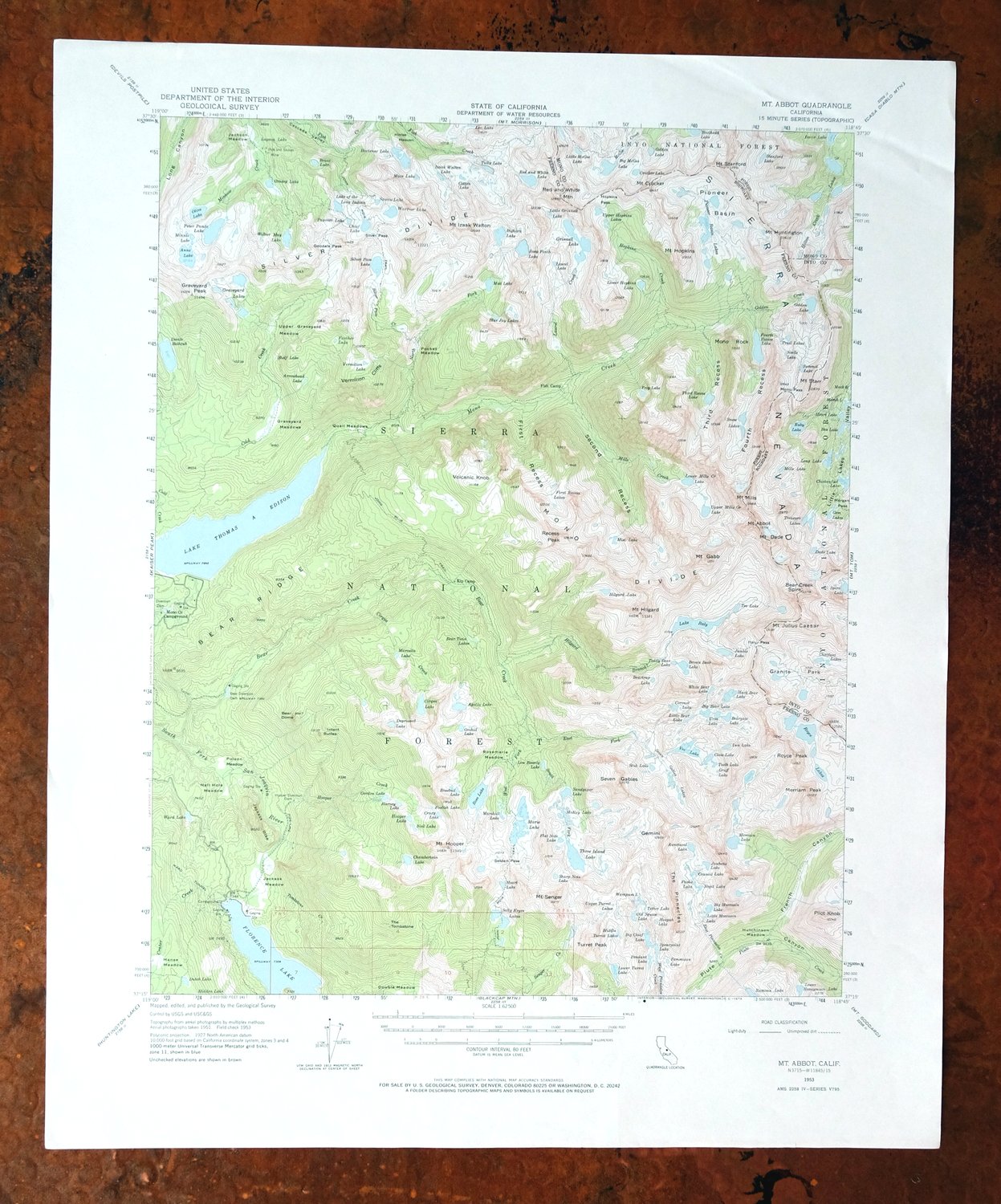
This 15-minute topographic sheet maps the Mount Abbot quadrangle in the high Sierra Nevada, a 1953 edition printed in 1973 at 1:62,500 with a green woodland tint marking vegetated terrain. It covers a rugged stretch of the range about 65 miles northeast of Fresno, where Fresno, Inyo, and Mono counties meet, taking in parts of the John Muir Wilderness and portions of the Sierra and Inyo national forests. This is deep backcountry terrain, laced with alpine lakes and granite peaks along the crest, drawn at 80-foot contours. Never folded, it lies smooth and flat.
In stock
This vintage sheet is a 1953 edition of the Mount Abbot California USGS topographic map. It is an original 53-year-old 1973 United States Geological Survey print in excellent condition.
HOW THIS MAP CAN BE USED
In addition to making a fascinating conversation piece, this sheet would look great in a frame or on display, make a unique and prized gift for anyone interested in this area, be perfect as a reference for genealogy studies or general historical research, or fill that missing piece in your collection. Maps of this vintage are printed on durable stock and are well-suited for outdoor activities and recreation of all kinds, including hiking, backpacking, hunting, rafting and kayaking, backcountry skiing, geocaching, general exploration, treasure hunting, etc.
FEATURES SHOWN ON THE MAP
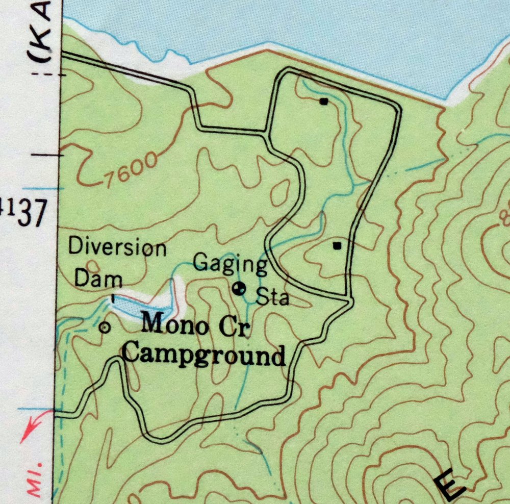
The Mount Abbot 15-minute map shows cities and towns, roads, railroads, utilities and energy infrastructure, rivers, creeks, elevation contour lines, public land survey lines, county, state, and other administrative boundaries as they existed at the time of the survey in 1951 and 1953. All known structures (houses, businesses, churches, schools, barns, cabins, etc) are also shown.
A VALUABLE HISTORICAL RECORD
Maps from the 15-minute series for the continental United States are no longer produced or printed by the USGS and original prints are becoming increasingly difficult to find. They are a valuable historical record for an area, as they contain many placenames and features that have been dropped from more recent maps.
Nearby maps
-
Blackcap Mountain California USGS Topo Map 1972 Vintage
$40 Add to cart -
Mount Morrison California Mammoth Lakes USGS Topo Map 1974
$52 Add to cart -
Huntington Lake California Shaver Lake USGS Topo Map 1968
$43 Add to cart -
Bishop California West Bishop Laws USGS Topographic Map 1969
$40 Add to cart -

Mount Pinchot California USGS 15-Min Topo Map 1969 Vintage
$26 Add to cart -
1973 USGS Topo Map: Tuolumne Meadows, California
$48 Add to cart -
Hetch Hetchy Reservoir California USGS Topo Map 1973 Vintage
$39 Add to cart -
Mount Whitney California USGS 15-Min Topo Map 1972 Vintage
$42 Add to cart -
Selma California Fresno Sanger USGS Topo Map 1954 Vintage
$35 Add to cart -
Tower Peak California USGS 15-Min Topo Map 1972 Vintage
$40 Add to cart -
Sanger Del Ray Clotho California USGS 7.5-Min Topo Map 1923
$30 Add to cart -

Kinsley California USGS 7.5-Min Topographic Map 1949 Vintage
$32 Add to cart -

Raynor Creek California Chowchilla River USGS Topo Map 1947
$30 Add to cart -
Ivanhoe California Woodlake USGS Topo Map 1946 Vintage
$34 Add to cart -
Kismet California Madera USGS 7.5-Min Topo Map 1948 Vintage
$32 Add to cart -

Le Grand California Madera Chowchilla USGS Topo Map 1963
$14 Add to cart -
1976 Last Chance Range California/Nevada USGS Topo Map
$38 Add to cart -

Jawbone Ridge California Buck Meadows USGS Topo Map 1949
$27 Add to cart -
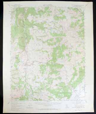
Fales Hot Springs California USGS Topo Map 1971 Vintage
$20 Add to cart -
Exeter California Visalia Ivanhoe USGS Topographic Map 1944
$37 Add to cart -
Kerman California Madera Avenue USGS Topographic Map 1947
$25 Add to cart -

Raisin California San Joaquin Valley USGS Topo Map 1947
$38 Add to cart -

Raisin California San Joaquin Valley USGS Topo Map 1947
$44 Add to cart -

Merced California Planada USGS 15-Min Topo Map 1963 Vintage
$18 Add to cart