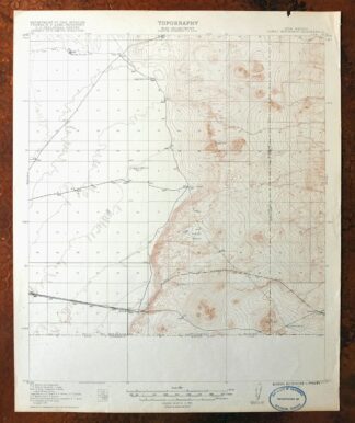
MAP DETAILS | |
|---|---|
| TITLE | Camel Mountain |
| STATE | New Mexico |
| LOCATION | 55 miles west of El Paso |
| SERIES | 15-minute |
| SURVEYED | 1917 Field Survey |
| GEOGRAPHER | R.B. Marshall |
| ENGRAVED | 1917 |
| EDITION | 1917 |
| PRINTED | 1917 |
| PRINT NOTES | Thick paper stock |
| SCALE | 1:62500 |
| CONTOUR INTERVAL | 10 feet |
| SHEET DIMENSIONS | 17 x 21 inches (approximate) |
| MAP DIMENSIONS | 14 7/8 x 17 1/2 inches |
| COVERAGE AREA | 15 x 17 miles |
| SHEET CONDITION For maps of this vintage, effort is made to note all visible flaws, no matter how minor. | |
| OVERALL CONDITION | Very Good |
| SHEET NOTES | lightly handled, never folded |
| MAP AREA | flawless map area |
| COLLARS | no markings, no blemishes, minor edge wear on top collar, inventory stamp on lower collar |
| MAP COVERAGE Quadrangle extent overlaid on current basemap. | |
| BACKSIDE LEGEND | |
 A map summary is printed on the back side of the Camel Mountain sheet similar to the one shown in the picture. It outlines the history, purpose, and status of the USGS mapping program at the time of the printing in 1917. It also provides instructions on how to read contour lines and a description of how they are used to depict the terrain. At the bottom of the page is a legend showing all of the symbols used to represent the cultural, relief, and water features found on the map. | |
| PLACENAMES Depending on map series and survey date, all of the features listed below may not be shown on this map. This list contains features that currently exist or historically existed within the area covered by the map. The list can be used as a reference to determine if this map covers your area of interest. Placenames are listed alphabetically next to each feature type. | |
| COUNTIES COVERED | Dona Ana and Luna |
| WATER BODIES | Mesquite Lake and Mesquite Tank |
| Locations: Birchfield Ranch, Eagle Nest Windmill, Johnson Windmill, P O L Ranch, Ramon Windmill, Red Windmill, and Triangle Windmill. Mountains, Peaks, and Summits: Black Hills, Camel Mountain, Coyote Hill, and Eagle Nest. Reservoirs and Tanks: Black Hills Tank, Mesquite Lake, Mesquite Tank, Perry Tank, Twin Tanks, and White Lakes Tank. Wells: 00870 Water Well, 00871 Water Well, 00872 Water Well, 00873 Water Well, 00874 Water Well, 00875 Water Well, 01020 Water Well, 01021 Water Well, 01024 Water Well, 01026 Water Well, 01027 Water Well, 01101 Water Well, 06065 Water Well, 1025 Water Well, Birchfield Well, Cabin Well, and Good Luck Well. | |
| SHIPPING AND RETURNS | |
 This map sheet will be carefully rolled in a sturdy tube and shipped via the US Postal Service. If you find that the sheet you receive is not as described in the listing, you may ship it back to us for a refund of the purchase price. | |
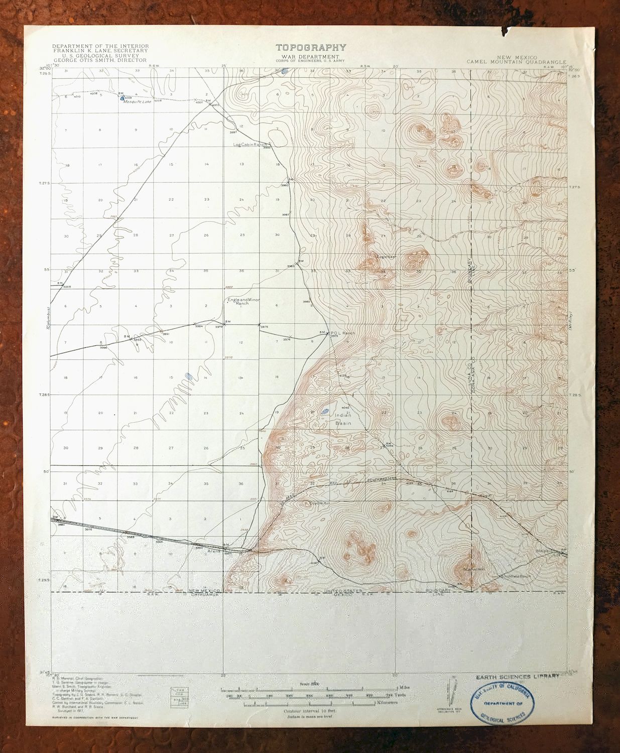
Camel Mountain New Mexico USGS 15-Min Topo Map 1917 Antique
$38
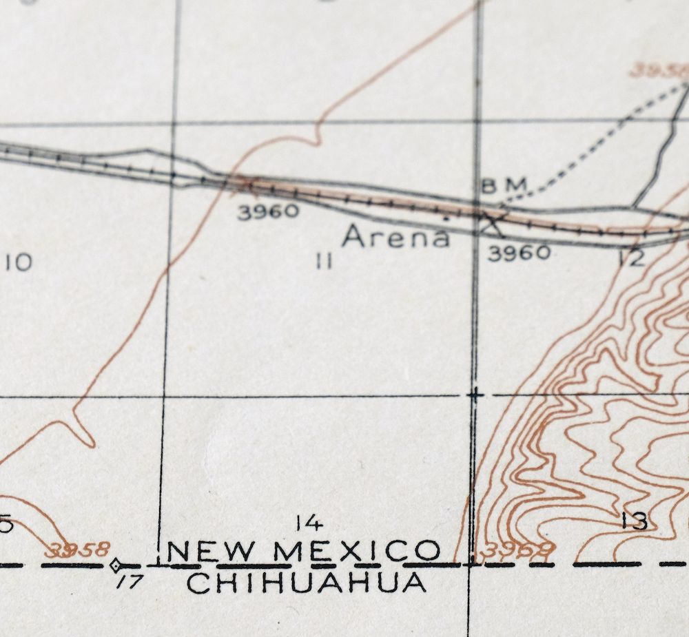
Printed in its year of first publication, 1917, this USGS 15-minute topographic sheet is in very good condition, lightly handled and never folded on thick stock. The quad sits in the desert country of southern New Mexico about 55 miles west of El Paso, spanning parts of Dona Ana and Luna counties, with Camel Mountain giving the sheet its name. Drawn from a 1917 field survey under geographer R.B. Marshall and engraved the same year, it shows this stretch of arid backcountry as the USGS first mapped it more than a century ago, and it survives with a flawless map area. The reverse carries printed USGS reference material from the period.
In stock
This antique sheet is a 1917 edition of the Camel Mountain New Mexico USGS topographic map. It is an authentic 109-year-old United States Geological Survey print in very good condition.
HOW THIS MAP CAN BE USED
In addition to making a fascinating conversation piece, this sheet would look great in a frame or on display, make a unique and prized gift for anyone interested in this area, be perfect as a reference for genealogy studies or general historical research, or fill that missing piece in your collection.
FEATURES SHOWN ON THE MAP
The Camel Mountain 15-minute map shows cities and towns, roads, railroads, rivers, creeks, elevation contour lines, public land survey lines, county, state, and other administrative boundaries as they existed at the time of the survey in 1917. All known structures (houses, businesses, churches, schools, barns, cabins, etc) are also shown, with exceptions in some urban areas, where only landmark buildings may be shown.
A VALUABLE HISTORICAL RECORD
Maps from the 15-minute series for the continental United States are no longer produced or printed by the USGS and original prints are becoming increasingly difficult to find. They are a valuable historical record for an area, as they contain many placenames and features that have been dropped from more recent maps.
Nearby maps
-
Aden New Mexico USGS 15-Min Topographic Map 1943 Vintage
$30 Add to cart -
Hermanas New Mexico USGS 15-Min Topographic Map 1943 Vintage
$38 Add to cart -
North Franklin Mountain Texas Fort Bliss USGS Topo Map 1959
$27 Add to cart -
Animas Peak New Mexico Coronado NF USGS 15-Min Topo Map 1932
$38 Add to cart -
Portal Arizona Rodeo USGS 15-Min Topo Map 1963 Vintage
$54 Add to cart -

San Simon Arizona Bowie USGS 30-Min Topo Map 1948 Vintage
$55 Add to cart -
Chiricahua Peak Arizona Coronado NF USGS Topo Map 1962
$38 Add to cart -
Cochise Head Arizona USGS 15-Min Topo Map 1957 Vintage
$44 Add to cart -
Perilla Arizona Douglas USGS 30-Min Topo Map 1919 Antique
$46 Add to cart -
Bowie Arizona USGS 15-Min Topographic Map 1950 Vintage
$36 Add to cart -
College Peaks Arizona Douglas USGS Topo Map 1959 Vintage
$31 Add to cart -
Mogollon New Mexico Pleasanton Mule Creek USGS Topo Map 1964
$54 Add to cart -
Pearce Arizona McNeal Gleeson USGS Topo Map 1948 Vintage
$55 Add to cart -

Morenci Arizona Clifton Blue River USGS 30-Min Topo Map 1954
$64 Add to cart -
Cochise Arizona Willcox USGS 15-Min Topo Map 1963 Vintage
$43 Add to cart -

Safford Arizona Thatcher Solomon USGS Topo Map 1980 Vintage
$44 Add to cart -
Carrizozo New Mexico Lincoln NF USGS Topo Map 1954 Vintage
$48 Add to cart -

Bisbee Arizona Naco Mule Mountains USGS 15-Min Topo Map 1959
$48 Add to cart -
Bisbee Arizona USGS 7.5-Min Topographic Map 1978 Vintage
$40 Add to cart -
Blue Arizona Apache NF USGS 15-Min Topo Map 1963 Vintage
$52 Add to cart -
Tombstone Arizona Walnut Gulch USGS Topo Map 1964 Vintage
$34 Add to cart -
Tombstone Arizona Sierra Vista USGS Topo Map 1959 Vintage
$56 Add to cart -

Winchester Mountains Arizona The Mesas USGS Topo Map 1962
$35 Add to cart -
Hannagan Meadow Arizona Apache NF USGS Topo Map 1960 Vintage
$38 Add to cart