MAP DETAILS | |
|---|---|
| TITLE | Pearce |
| STATE | Arizona |
| LOCATION | 75 miles southeast of Tucson |
| SERIES | 30-minute |
| SURVEYED | 1913 and 1914 Field Survey |
| GEOGRAPHER | R.B. Marshall |
| EDITION | 1916 |
| PRINTED | 1948 |
| PRINT NOTES | Thick paper stock |
| SCALE | 1:125000 |
| CONTOUR INTERVAL | 100 feet |
| SHEET DIMENSIONS | 17 x 21 inches |
| MAP DIMENSIONS | 14 7/8 x 17 1/2 inches |
| COVERAGE AREA | 29 x 35 miles |
| SOURCE | From the vintage map collection of Art Christiansen, Tempe, Arizona |
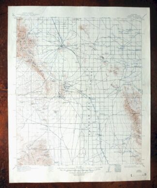
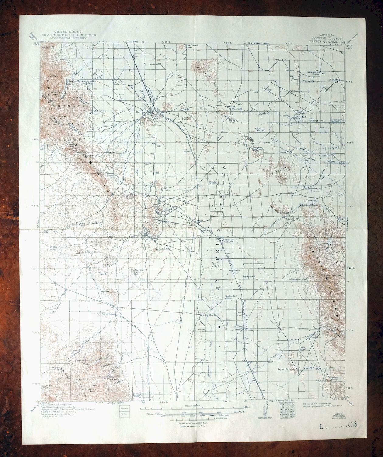
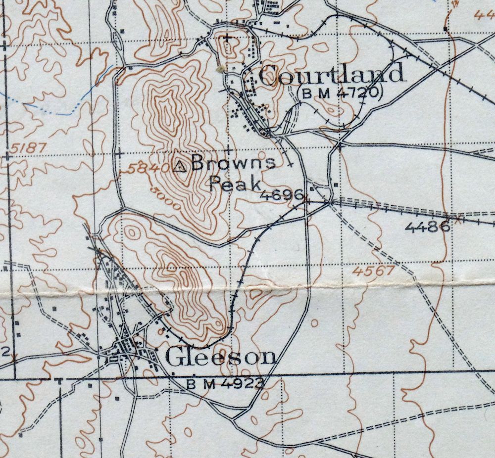
| MAP NOTES | A fascinating snapshot of the Sulphur Springs Valley from McNeal northward to present-day Sunsites, including Courtland, Gleeson, and Pearce during their heyday, Cochise Stronghold, and portions of the Dragoon, Swisshelm, and Mule Mountains, surveyed before the modern highway system. |
| SHEET CONDITION For maps of this vintage, effort is made to note all visible flaws, no matter how minor. | |
| OVERALL CONDITION | Very Good |
| SHEET NOTES | lightly handled, midsheet horizontal and vertical foldlines (1/4) |
| MAP AREA | no wear, very minor markings, no blemishes |
| COLLARS | no wear or tears, no markings, small library stamp in bottom right collar |
| MAP COVERAGE Quadrangle extent overlaid on current basemap. | |
| BACKSIDE LEGEND | |
 A map summary is printed on the back side of the Pearce sheet similar to the one shown in the picture. It outlines the history, purpose, and status of the USGS mapping program at the time of the printing in 1948. It also provides instructions on how to read contour lines and a description of how they are used to depict the terrain. At the bottom of the page is a legend showing all of the symbols used to represent the cultural, relief, and water features found on the map. | |
| PLACENAMES Depending on map series and survey date, all of the features listed below may not be shown on this map. This list contains features that currently exist or historically existed within the area covered by the map. The list can be used as a reference to determine if this map covers your area of interest. Placenames are listed alphabetically next to each feature type. | |
| CITIES AND TOWNS (CURRENT) | Elfrida, Gleeson, McNeal, and Pearce |
| COUNTIES COVERED | Cochise |
| FEDERAL LAND UNITS | Coronado National Forest and Leslie Canyon National Wildlife Refuge |
| RIVERS AND STREAMS | Ash Creek, Clifford Wash, Fivemile Creek, Haberstock Wash, Henderson Wash, Leslie Creek, Pridham Creek, Reeves Creek, Rock Creek, Slavin Wash, Stanford Creek, Turkey Creek, and Willow Wash |
| Locations: Abbot Windmill, Barrett Camp, Bennett Ranch, Blacktail Windmill, Big Gadwell Windmill, Busenbark Ranch, Christensen Ranch, Coyote Windmill, Deep Well Windmill, Dixie Canyon Ranch, Douglas Monitoring Station, Dragoon Camp, Dye Windmill, E/H Windmill, Fortyseven Ranch, Four Bars Ranch, Fullbright Windmill, Garland Windmill, Gears Ranch, Gleeson Substation, Gold Camp, Gordon Camp, Grapevines Windmill, H O Davis Ranch, Hackberry Windmill, Harmon Ranch, Homestead Windmill, Hood Windmill, Kendall Ranch, Kendall Substation, Light, Little Gadwell Windmill, Little Windmill, McNeal Generating Plant, Mesquite Windmill, Moore Ranch, N I Windmill, New Windmill, Old Home Ranch, Old Robertson Ranch, Outlaw Windmill, Owl Hoot Windmill, Reeves Ranch, River Windmill, Sala Ranch, Sandy Bob Springs Windmill, Sandy Bob Windmill, Sorin Camp, South Windmill, Sunsites Golf Course, Swisshelm Lodge, Telles Ranch, and Whitehead Ranch. Areas: Cochise Stronghold. Mountain Ranges: Dragoon Mountains. Reserves: Chiricahua Indian Reservation. Mountains, Peaks, and Summits: Bald Knob, Black Diamond Peak, Blacktail Hill, Browns Peak, China Peak, Cochise Peak, Mount Glenn, Hay Mountain, Jones Mountain, Maud Hill, Mexican Hat Mountain, Outlaw Mountain, Pearce Hill, Potter Mountain, Rockfellow Dome, Sheepshead, Signal Hill, Sixmile Hill, Squaretop Hills, Stockton Hill, Sugarloaf Hill, Sulphur Hills, Swisshelm Mountain, Taylor Butte, Three Sisters Buttes, Township Butte, and Turquoise Mountain. Valleys and Canyons: Abbot Canyon, Buck Canyon, Dead Mexican Canyon, Dixie Canyon, Dry Canyon, Gadwell Canyon, Gila Monster Canyon, Grapevine Canyon, Henry Canyon, Indian Canyon, Johnson Canyon, Leslie Canyon, Middlemarch Canyon, Noonan Canyon, Sandy Bob Canyon, Stockton Draw, and Stronghold Canyon East. Parks: Cochise Stronghold Campground and Lewis Monument. Drainages: Ash Creek, Fivemile Creek, Leslie Creek, Pridham Creek, Stanford Creek, and Turkey Creek. Mines: Abril Mine, Cobra Loma Mine, Commonwealth Mine, Escapule Mine, Festerling Mine, Herget Turquoise Mine, Side Hill Claim, and Standard Tungsten Mine. Lakes and Ponds: Frog Lake. Buildings: Sunsites Community Center. Gaps: Middlemarch Pass, OK Notch, and South Pass. Airports: Tribal Air Airport. Schools: Ash Creek School, Elfrida Elementary School, Pearce Elementary School, and Valley Union High School. Ridges: Ash Creek Ridge, Swisshelm Mountains, Turkey Creek Ridge, and Whitehead Ridge. Reservoirs and Tanks: Black Diamond Tank, Black Tank, Broke Tank, Brushy Tank, Buck Creek Tank, Dragoon Camp Tank, Dry Canyon Tank, Ernest Tank, Forest Tank, Gadwell Tank, Gap Tank, Gordon Tank, Guys Tank, Halfmoon Tank, Homestead Tank, Jog Tank, Johns Well, McClendon Tank, Mesquite Tank, Najo Spring, New Tank, Rattlesnake Tank, Reeves Tank, Road Tank, Rock Tank, Sack Tongue Tank, Sand Tank, Sandy Bob Tank, South Tank, Thompson Tank, and Toms Tank. Wells: West Wells. Springs: Antelope Spring, Barret Spring, Buckshot Spring, Bull Spring, Caslink Spring, Diamond Spring, Gilda Spring, Goodrich Spring, Granite Spring, Little Sandy Spring, Neely Spring, Pinon Spring, South Pass Spring, Tunnel Spring, and Walnut Springs. | |
| SHIPPING AND RETURNS | |
| This map sheet ships via the US Postal Service. Choose your preferred packaging at eBay checkout: rolled in a sturdy tube, or folded in a padded mailer. If you find that the sheet you receive is not as described in the listing, you may ship it back to us for a refund of the purchase price. | |
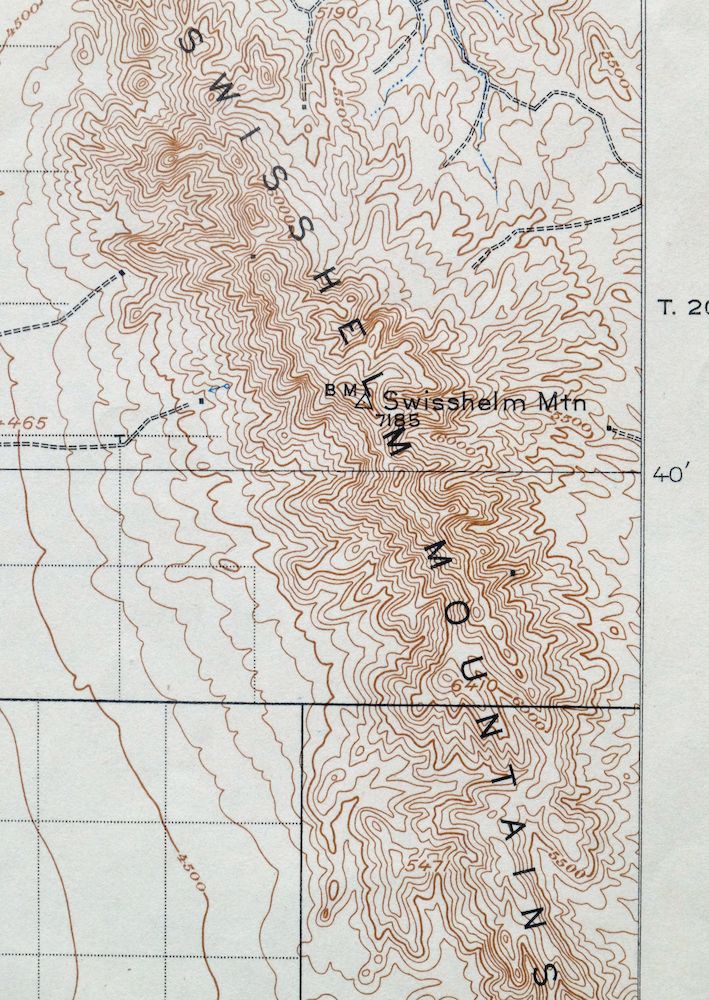
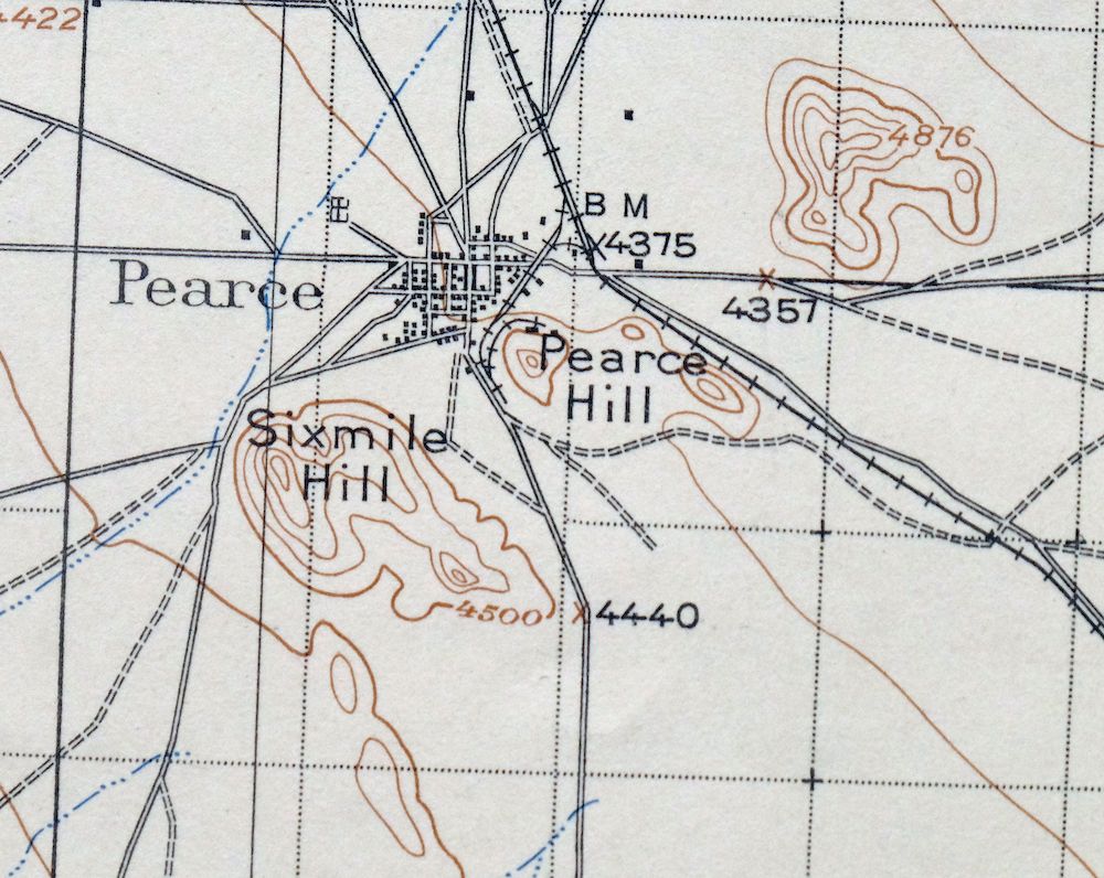
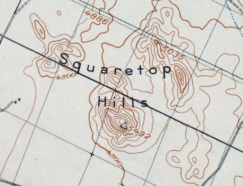
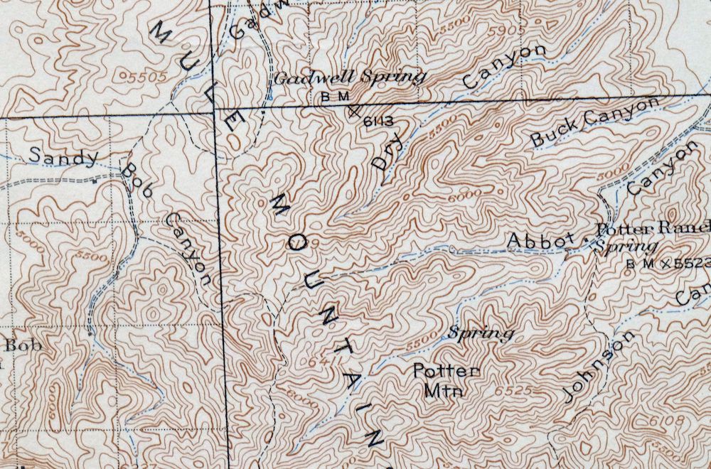
Pearce Arizona McNeal Gleeson USGS Topo Map 1948 Vintage
$55
This USGS 30-minute topographic sheet is a 1916 edition printed in 1948, in very good condition on thick stock and lightly handled, with midsheet horizontal and vertical foldlines. Covering a stretch of the Sulphur Springs Valley in Cochise County, Arizona, about 75 miles southeast of Tucson, the quad takes in Pearce, McNeal, Gleeson, and Elfrida, along with portions of the Dragoon, Swisshelm, and Mule Mountains and part of the Coronado National Forest. Based on 1913 and 1914 field survey work under geographer R.B. Marshall, it shows the mining towns of Courtland, Gleeson, and Pearce during their heyday, as well as Cochise Stronghold, all mapped before the modern highway system reached the valley. It comes from the vintage map collection of Art Christiansen of Tempe, Arizona, and carries a small library stamp in the bottom right collar.
In stock
This vintage sheet is a 1916 edition of the Pearce Arizona USGS topographic map. It is an original 78-year-old 1948 United States Geological Survey print in very good condition.
HOW THIS MAP CAN BE USED
In addition to making a fascinating conversation piece, this sheet would look great in a frame or on display, make a unique and prized gift for anyone interested in this area, be perfect as a reference for genealogy studies or general historical research, or fill that missing piece in your collection.
FEATURES SHOWN ON THE MAP
The Pearce 30-minute map shows cities and towns, roads, railroads, rivers, creeks, elevation contour lines, public land survey lines, county, state, and other administrative boundaries as they existed at the time of the survey in 1913 and 1914.
A VALUABLE HISTORICAL RECORD
Maps from the USGS 30-minute series have been out of print for many years. They have never been common and original prints are increasingly difficult to find. For areas where the 30-minute map was produced, it is usually the first large-scale survey done by the USGS for that area. These are a valuable historical record, as they contain many placenames and features that have been dropped from more recent series’ and editions.
Nearby maps
-

San Simon Arizona Bowie USGS 30-Min Topo Map 1948 Vintage
$55 Add to cart -
Perilla Arizona Douglas USGS 30-Min Topo Map 1919 Antique
$46 Add to cart -
Hereford Arizona Sierra Vista USGS Topo Map 1946 Vintage
$45 Add to cart -

Morenci Arizona Clifton Blue River USGS 30-Min Topo Map 1954
$64 Add to cart -
Mogollon New Mexico Pleasanton Mule Creek USGS Topo Map 1964
$54 Add to cart -

Florence Arizona Apache Junction Superior USGS Topo Map 1917
$70 Add to cart -
Tombstone Arizona Walnut Gulch USGS Topo Map 1964 Vintage
$34 Add to cart -
Tombstone Arizona Sierra Vista USGS Topo Map 1959 Vintage
$56 Add to cart -
Chiricahua Peak Arizona Coronado NF USGS Topo Map 1962
$38 Add to cart -
Bisbee Arizona USGS 7.5-Min Topographic Map 1978 Vintage
$40 Add to cart -

Bisbee Arizona Naco Mule Mountains USGS 15-Min Topo Map 1959
$48 Add to cart -
Cochise Arizona Willcox USGS 15-Min Topo Map 1963 Vintage
$43 Add to cart -
College Peaks Arizona Douglas USGS Topo Map 1959 Vintage
$31 Add to cart -
Cochise Head Arizona USGS 15-Min Topo Map 1957 Vintage
$44 Add to cart -
Benson Arizona Coronado NF St. David USGS Topo Map 1962
$38 Add to cart -
Portal Arizona Rodeo USGS 15-Min Topo Map 1963 Vintage
$54 Add to cart -

Sunnyside Arizona Sierra Vista USGS Topo Map 1965 Vintage
$46 Add to cart -

Winchester Mountains Arizona The Mesas USGS Topo Map 1962
$35 Add to cart -
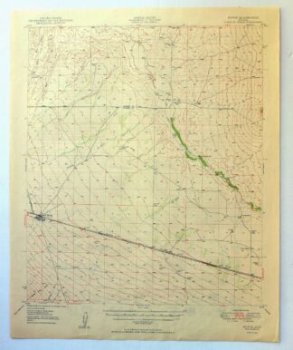
Bowie Arizona USGS 15-Min Topographic Map 1950 Vintage
$36 Add to cart -

Elgin Arizona Patagonia Sonoita USGS Topo Map 1971 Vintage
$52 Add to cart -
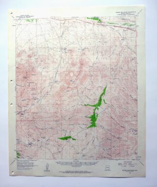
Empire Mountains Arizona Vail Pantano USGS Topo Map 1961
$47 Add to cart -
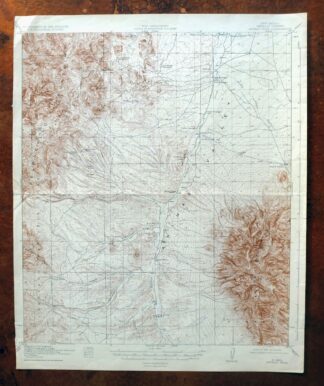
Animas Peak New Mexico Coronado NF USGS 15-Min Topo Map 1932
$38 Add to cart -
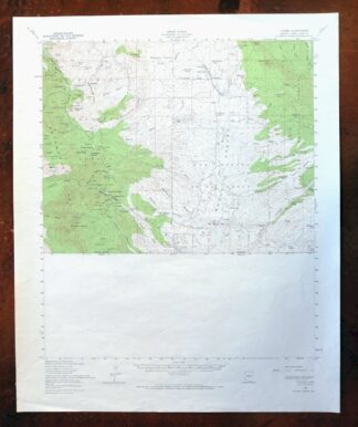
Lochiel Arizona USGS 15-Min Topographic Map 1965 Vintage
$47 Add to cart -

Tucson SE Arizona Rita Ranch Littletown USGS Topo Map 1980
$35 Add to cart