MAP DETAILS | |
|---|---|
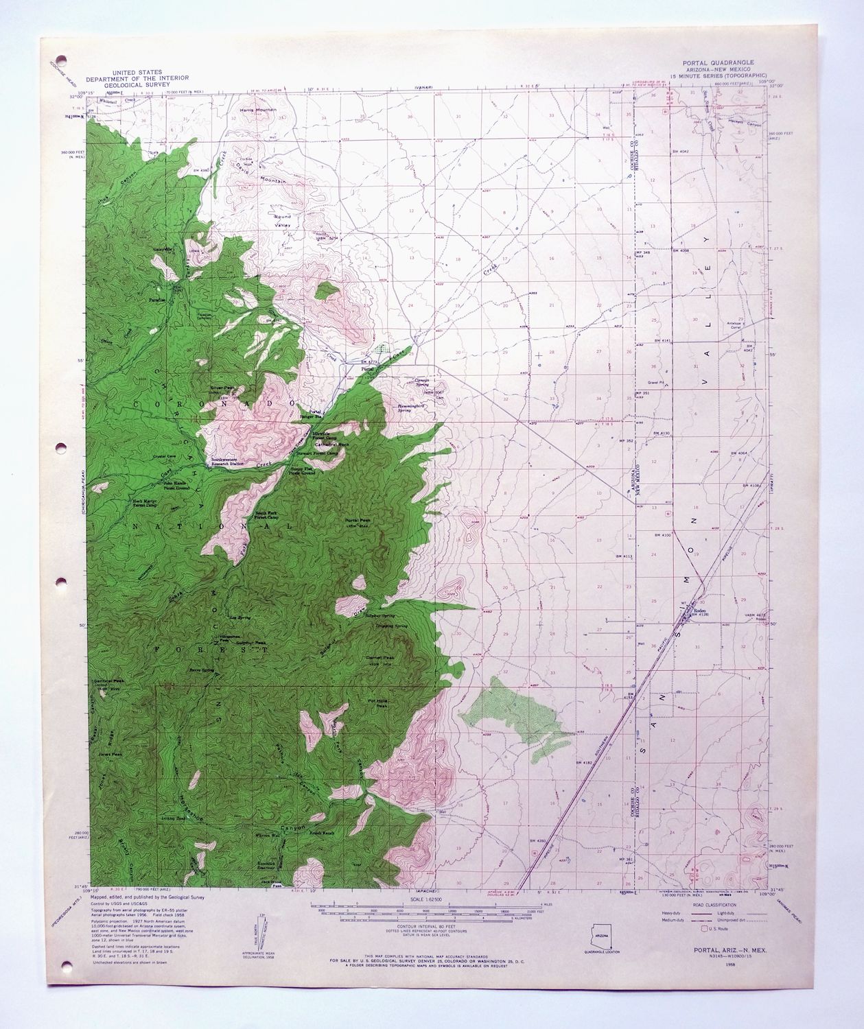
| TITLE | Portal |
| STATE | Arizona, New Mexico |
| LOCATION | 40 miles southwest of Lordsburg, NM |
| SERIES | 15-minute |
| SURVEYED | 1956 and 1958 Aerial and Field Survey |
| EDITION | 1958 |
| PRINTED | 1963 |
| PRINT NOTES | Thick paper stock, includes woodland tint (green to indicate vegetated areas) |
| SCALE | 1:62500 |
| CONTOUR INTERVAL | 80 feet |
| SHEET DIMENSIONS | 17 x 21 inches |
| MAP DIMENSIONS | 14 7/8 x 17 1/2 inches |
| COVERAGE AREA | 15 x 17 miles |
| MAP NOTES | This sheet includes world-renowned birding areas in the eastern canyons of the Sierra Chiricahua. |
| SHEET CONDITION For maps of this vintage, effort is made to note all visible flaws, no matter how minor. | |
| OVERALL CONDITION | Excellent |
| SHEET NOTES | very lightly handled, never folded, smooth and flat |
| MAP AREA | flawless map area |
| COLLARS | no wear or tears, no markings, no blemishes, hole punches in left collar |
| MAP COVERAGE Quadrangle extent overlaid on current basemap. | |
| PLACENAMES Depending on map series and survey date, all of the features listed below may not be shown on this map. This list contains features that currently exist or historically existed within the area covered by the map. The list can be used as a reference to determine if this map covers your area of interest. Placenames are listed alphabetically next to each feature type. | |
| CITIES AND TOWNS (CURRENT) | Portal and Rodeo |
| COUNTIES COVERED | Cochise and Hidalgo |
| FEDERAL LAND UNITS | Chiricahua National Monument Wilderness and Coronado National Forest |
| RIVERS AND STREAMS | Cave Creek, East Turkey Creek, East Whitetail Creek, Onion Creek, San Simon River, and Silver Creek |
| Arizona Locations: Bagwell Ranch, Herb Martyr Forest Camp, Idlewilde Forest Camp, Maple Camp, Portal Ranger Station, Roush Ranch, South Fork Forest Camp, Stanford Ranch, Stewart Forest Camp, and Stidham Ranch. Mountains, Peaks, and Summits: Cathedral Rock, Darnell Peak, Davis Mountain, Harris Mountain, Jones Peak, Portal Peak, Pot Hole Peak, Mount Sceloporus, Sentinel Peak, Silver Peak, and Sulphur Peak. Valleys and Canyons: Blevins Draw, Cave Creek Canyon, Horseshoe Canyon, Jhus Canyon, North Fork Canyon, Pothole Canyon, Round Valley, and Sulphur Draw. Parks: Cave Creek Recreation Area, John Hands Picnic Ground, and Sunny Flat Picnic Ground. Trails: Basin Trail Two Hundred Fortyseven, Snowshed Trail, and South Fork Canyon Trail Two Hundred Fortythree. Drainages: Cave Creek, East Turkey Creek, Onion Creek, Silver Creek, and South Fork Cave Creek. Mines: Cochise Mine. Buildings: Southwestern Research Station. Gaps: Horseshoe Pass. Schools: Portal Elementary School. Ridges: Jones Ridge. Reservoirs and Tanks: Bird Tank, Chiricahua Tank, Horseshoe Tank Number Four, Horseshoe Tank Number One, Horseshoe Tank Number Three, Horseshoe Tank Number Two, Icebox Tank, Jack Wood Tank, Kambitsch Tank, Licklog Tank, Little North Fork Tank, Mountaintop Tank, North Tank, Portal Tank, Pot Hole Tank, Red Rock Tank, and Silver Tank. Towers: Monte Vista Peak Lookout. Wells: Warren Well. Springs: Burro Spring, Cienega Spring, Dripping Spring, Hummingbird Spring, Log Spring, Peach Tree Spring, and Sulphur Spring. | |
| New Mexico Locations: Antelope Corral and Rodeo Weather Station. Valleys and Canyons: Owl Canyon. Churches: Saint Simon Episcopal Mission and San Felipe Catholic Church. Wells: 09001 Water Well, 09002 Water Well, 09003 Water Well, 09004 Water Well, 09005 Water Well, and Main Well South Water Well. | |
| SHIPPING AND RETURNS | |
 This map sheet will be carefully rolled in a sturdy tube and shipped via the US Postal Service. If you find that the sheet you receive is not as described in the listing, you may ship it back to us for a refund of the purchase price. | |

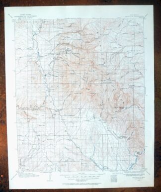
Portal Arizona Rodeo USGS 15-Min Topo Map 1963 Vintage
$54
A 1958 edition printed in 1963, this 15-minute USGS topographic sheet is in excellent condition, never folded and printed on thick stock that has kept it smooth and flat. It takes in the Chiricahua Mountains along the Arizona-New Mexico line, with the quad area including Portal, Arizona and Rodeo just across the border in New Mexico, along with portions of Coronado National Forest and the Chiricahua National Monument Wilderness. The eastern canyons of the Sierra Chiricahua covered here are among the most celebrated birding areas in the country, drawing visitors to Cave Creek Canyon and the surrounding high country. The collar shows hole punches at left but is otherwise clean, with no wear, tears, or markings.
In stock
This vintage sheet is a 1958 edition of the Portal Arizona USGS topographic map. It is an original 63-year-old 1963 United States Geological Survey print in excellent condition.
HOW THIS MAP CAN BE USED
In addition to making a fascinating conversation piece, this sheet would look great in a frame or on display, make a unique and prized gift for anyone interested in this area, be perfect as a reference for genealogy studies or general historical research, or fill that missing piece in your collection. Maps of this vintage are printed on durable stock and are well-suited for outdoor activities and recreation of all kinds, including hiking, backpacking, hunting, rafting and kayaking, backcountry skiing, geocaching, general exploration, treasure hunting, etc.
FEATURES SHOWN ON THE MAP
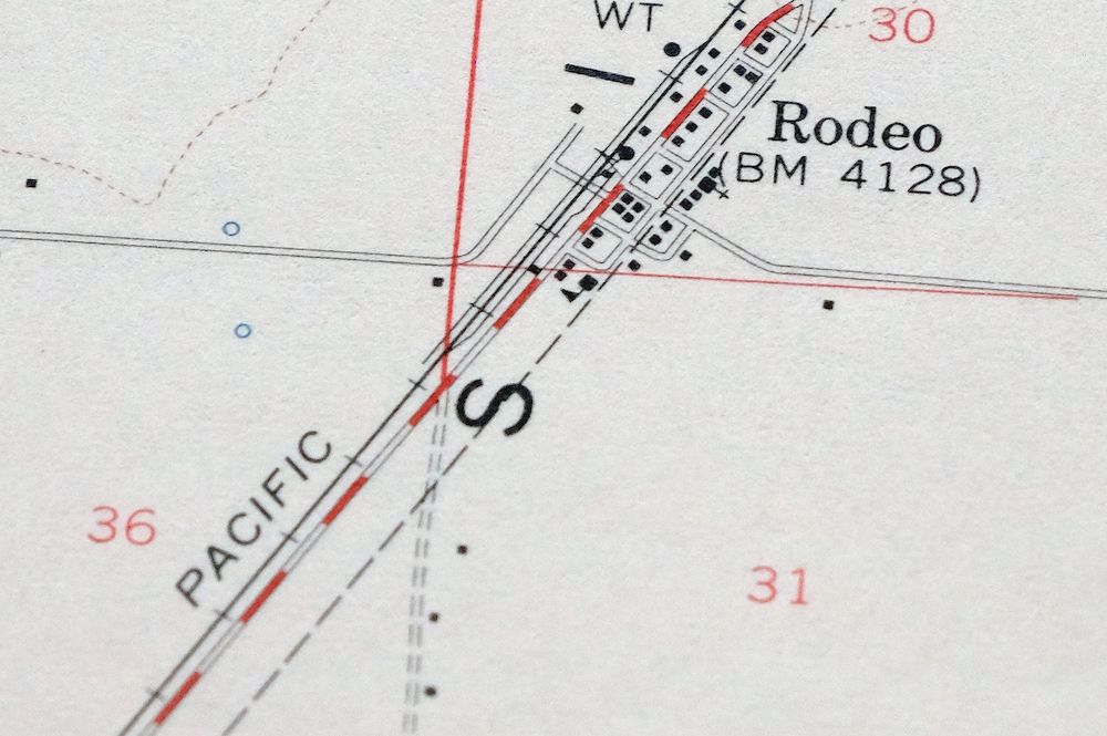
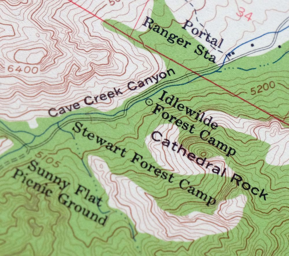
The Portal 15-minute map shows cities and towns, roads, railroads, utilities and energy infrastructure, rivers, creeks, elevation contour lines, public land survey lines, county, state, and other administrative boundaries as they existed at the time of the survey in 1956 and 1958. All known structures (houses, businesses, churches, schools, barns, cabins, etc) are also shown.
A VALUABLE HISTORICAL RECORD
Maps from the 15-minute series for the continental United States are no longer produced or printed by the USGS and original prints are becoming increasingly difficult to find. They are a valuable historical record for an area, as they contain many placenames and features that have been dropped from more recent maps.
Nearby maps
-
Chiricahua Peak Arizona Coronado NF USGS Topo Map 1962
$38 Add to cart -
Cochise Head Arizona USGS 15-Min Topo Map 1957 Vintage
$44 Add to cart -
Animas Peak New Mexico Coronado NF USGS 15-Min Topo Map 1932
$38 Add to cart -
Bowie Arizona USGS 15-Min Topographic Map 1950 Vintage
$36 Add to cart -
College Peaks Arizona Douglas USGS Topo Map 1959 Vintage
$31 Add to cart -
Cochise Arizona Willcox USGS 15-Min Topo Map 1963 Vintage
$43 Add to cart -

Bisbee Arizona Naco Mule Mountains USGS 15-Min Topo Map 1959
$48 Add to cart -
Tombstone Arizona Sierra Vista USGS Topo Map 1959 Vintage
$56 Add to cart -

Winchester Mountains Arizona The Mesas USGS Topo Map 1962
$35 Add to cart -

San Simon Arizona Bowie USGS 30-Min Topo Map 1948 Vintage
$55 Add to cart -
Pearce Arizona McNeal Gleeson USGS Topo Map 1948 Vintage
$55 Add to cart -
Perilla Arizona Douglas USGS 30-Min Topo Map 1919 Antique
$46 Add to cart -
Tombstone Arizona Walnut Gulch USGS Topo Map 1964 Vintage
$34 Add to cart -
Bisbee Arizona USGS 7.5-Min Topographic Map 1978 Vintage
$40 Add to cart -
Hermanas New Mexico USGS 15-Min Topographic Map 1943 Vintage
$38 Add to cart -
Benson Arizona Coronado NF St. David USGS Topo Map 1962
$38 Add to cart -

Safford Arizona Thatcher Solomon USGS Topo Map 1980 Vintage
$44 Add to cart -
Hereford Arizona Sierra Vista USGS Topo Map 1946 Vintage
$45 Add to cart -

Sunnyside Arizona Sierra Vista USGS Topo Map 1965 Vintage
$46 Add to cart -
Empire Mountains Arizona Vail Pantano USGS Topo Map 1961
$47 Add to cart -

Elgin Arizona Patagonia Sonoita USGS Topo Map 1971 Vintage
$52 Add to cart -
Lochiel Arizona USGS 15-Min Topographic Map 1965 Vintage
$47 Add to cart -

Morenci Arizona Clifton Blue River USGS 30-Min Topo Map 1954
$64 Add to cart -
Mogollon New Mexico Pleasanton Mule Creek USGS Topo Map 1964
$54 Add to cart