MAP DETAILS | |
|---|---|
| TITLE | Hummelstown |
| STATE | Pennsylvania |
| LOCATION | Vicinity of Hershey |
| SERIES | 15-minute |
| SURVEYED | 1943 and 1956 Aerial and Field Survey |
| EDITION | 1956 |
| PRINTED | 1965 |
| PRINT NOTES | Thick paper stock, includes woodland tint (green to indicate vegetated areas). A reddish tint is used to indicate urban areas where only landmark buildings are shown. |
| SCALE | 1:62500 |
| CONTOUR INTERVAL | 20 feet |
| SHEET DIMENSIONS | 17 x 21 inches |
| MAP DIMENSIONS | 13 3/8 x 17 1/2 inches |
| COVERAGE AREA | 13 x 17 miles |
| SHEET CONDITION For maps of this vintage, effort is made to note all visible flaws, no matter how minor. | |
| OVERALL CONDITION | Very Good |
| SHEET NOTES | lightly handled, never folded |
| MAP AREA | no wear, no markings, no blemishes |
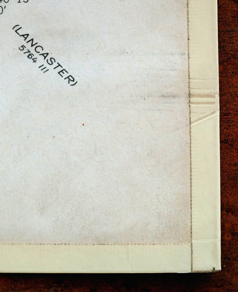
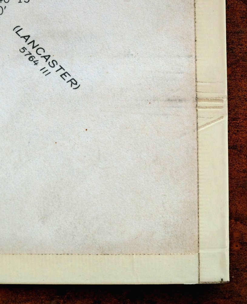
| COLLARS | no markings, very minor blemishes, edge protectors applied, no edge tears, library stamp in right collar |
 | |
| MAP COVERAGE Quadrangle extent overlaid on current basemap. | |
| PLACENAMES Depending on map series and survey date, all of the features listed below may not be shown on this map. This list contains features that currently exist or historically existed within the area covered by the map. The list can be used as a reference to determine if this map covers your area of interest. Placenames are listed alphabetically next to each feature type. | |
| CITIES AND TOWNS (CURRENT) | Annville, Campbelltown, Fort Indiantown Gap, Grantville, Hershey, Hummelstown, Palmyra, Rutherford, and Skyline View |
| COUNTIES COVERED | Dauphin and Lebanon |
| FEDERAL LAND UNITS | Fort Indiantown Gap Military Reservation (Closed) |
| RIVERS AND STREAMS | Aires Run, Beaver Creek, Clark Creek, Devils Race Course, Forge Creek, Gingrich Run, Indiantown Run, Little Conewago Creek, Manada Creek, Monroe Creek, North Fork Powell Creek, Quittapahilla Creek, Qureg Run, Rattling Run, Rausch Creek, Reeds Creek, South Fork Powell Creek, Spring Creek, Stony Creek, Swatara Creek, Trout Run, and Vesle Run |
| WATER BODIES | DeHart Reservoir, Dresden Lake, Marquette Lake, Shuey Lake, and Stouffer Lake |
| Locations: Campbell, Fort Indiantown Gap, Green Point Station, Hershey Country Club and Golf Courses, Hershey Highmeadow Camp, Hershey Nursery, Hershey Parkview Golf, Hershey Spring Creek Golf, Hotel Hershey Golf Course, Indiantown Gap Station, Manada Golf Course, Palmyra Shopping Center, Park Village Plaza, The Hershey Lodge and Convention Center, and The Hotel Hershey. Administrative Boundaries: Township of Conewago, Township of Derry, Township of East Hanover, Township of East Hanover, Borough of Hummelstown, Township of North Annville, Township of North Londonderry, Borough of Palmyra, Township of South Annville, Township of South Hanover, Township of South Londonderry, and Township of West Hanover. Mountains, Peaks, and Summits: Stony Mountain. Valleys and Canyons: Monroe Valley. Parks: Bashore Boy Scout Camp, Hershey Gardens, Hershey Park, Hershey Park Arena, Memorial Lake State Park, Penn National Race Course, State Game Lands Number 211, State Game Lands Number 80, Swatara State Park, and Zoo America. Trails: Horseshoe Trail and Second Mountain Trail. Drainages: Bow Creek, Aires Run, Bachman Run, Beaver Creek, Buckholder Run, Devils Race Course, Forge Creek, Gingrich Run, Indiantown Run, Kellock Run, Killinger Creek, Manada Creek, Monroe Creek, Nyes Run, Quittapahilla Creek, Qureg Run, Raccoon Creek, Rattling Run, Rausch Creek, Reeds Creek, Spring Creek, Trout Run, Vesle Run, and Walnut Run. Churches: Balsbaugh Church, Brindnagles Church, Calvary Church, Dohners Church, East Hanover Church, Emmanuel Church, Fishburns Church, Full Mission, Gravel Hill Church, Hershey Church, Kauffmans Church, Manada Furnace Church, Memorial Church, Moonshine Church, Saint Johns Church, Sand Beach Mission, Sattazahn Church, Shells Church, Shirks Church, Shoops Church, Spring Creek Church, Union Chapel, Walmers Church, and Zion Church. Hospitals: Hershey Medical Center. Lakes and Ponds: Dresden Lake. Buildings: Founders Hall, Hershey Information Center, and Hershey Museum of American Life. Dams: Dehart Dam, Hummelstown Dam, Memorial Lake Dam, Reservation Dam, Shuey Lake Dam, Stouffer Lake Dam, and Water Works Dam. Gaps: Indiantown Gap, Manada Gap, Rausch Gap, and Swatara Gap. Airports: Brookside Farms Airport, Dee Jay Airport, Hershey Air Park, Kruger Airport, M S Hershey Medical Center Helistop, Millard Airport, Reigle Field, Rover Airport, and Smith Heliport. Schools: Annie B Nye Elementary School, Annville Elementary School, Annville-Cleona High School, Derry Elementary School, Derry High School, East Hanover Elementary School, Elizabeth Z Price Elementary School, Forge Street School, Franklin School, Garfield School, Hemperly School, Hershey Intermediate School, Hershey School, Lebanon Valley College, Lickdale School, Lower Dauphin High School, McGill School, Milton Hershey High School, North Annville Elementary School, Northside Elementary School, Palmyra Middle School, Palmyra Senior High School, Pine Street Elementary School, Saint Joan of Arc School, Sherman School, South Hanover Elementary School, West Hanover School, and West High School. Reservoirs and Tanks: DeHart Reservoir, Marquette Lake, Shuey Lake, and Stouffer Lake. Towers: WCTX-FM (Palmyra). Springs: Saint Joseph Springs and Spring Creek Springs. | |
| SHIPPING AND RETURNS | |
 This map sheet will be carefully rolled in a sturdy tube and shipped via the US Postal Service. If you find that the sheet you receive is not as described in the listing, you may ship it back to us for a refund of the purchase price. | |
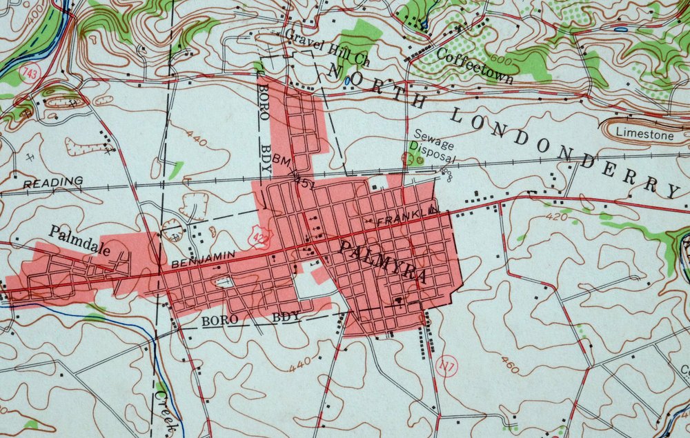
Hummelstown Pennsylvania Hershey Palmyra USGS Topo Map 1965
$37
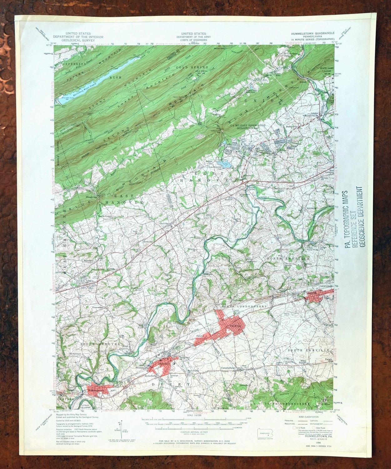
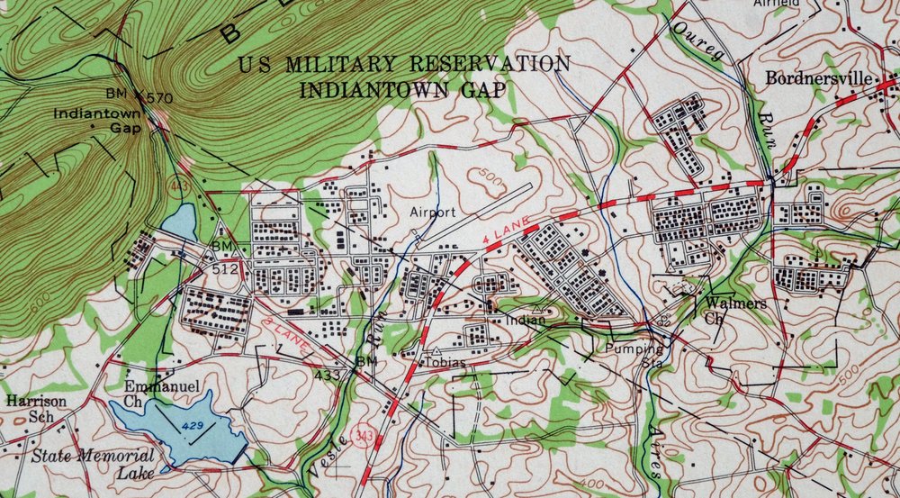
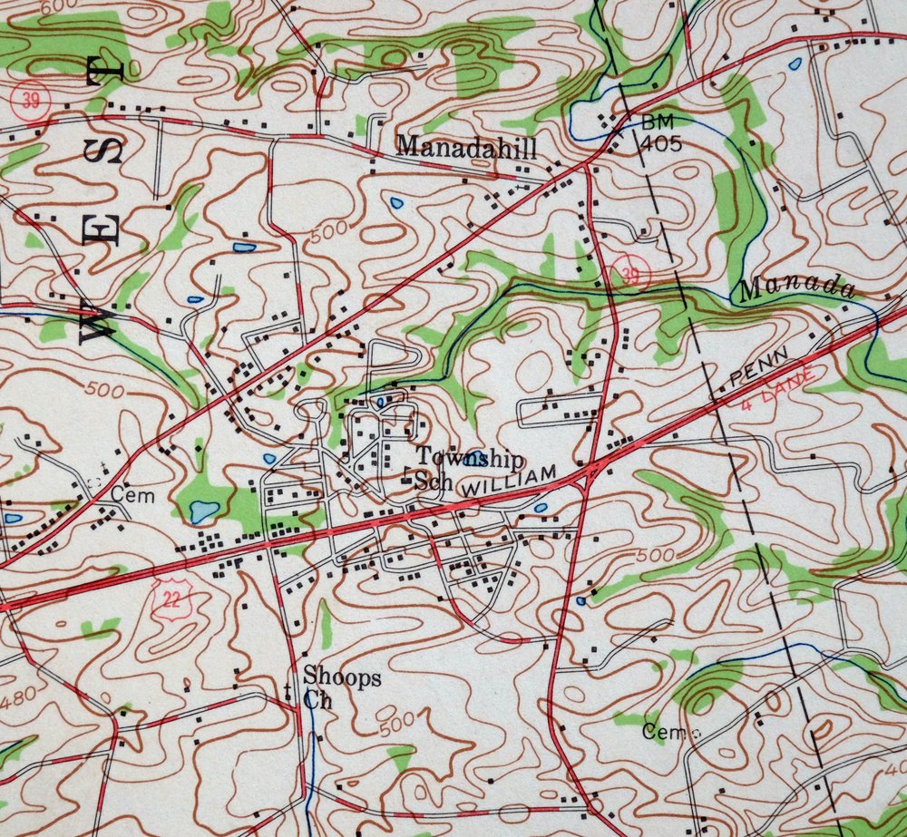
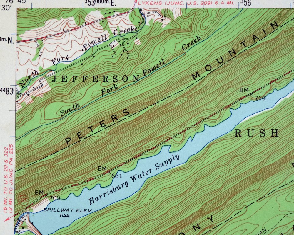
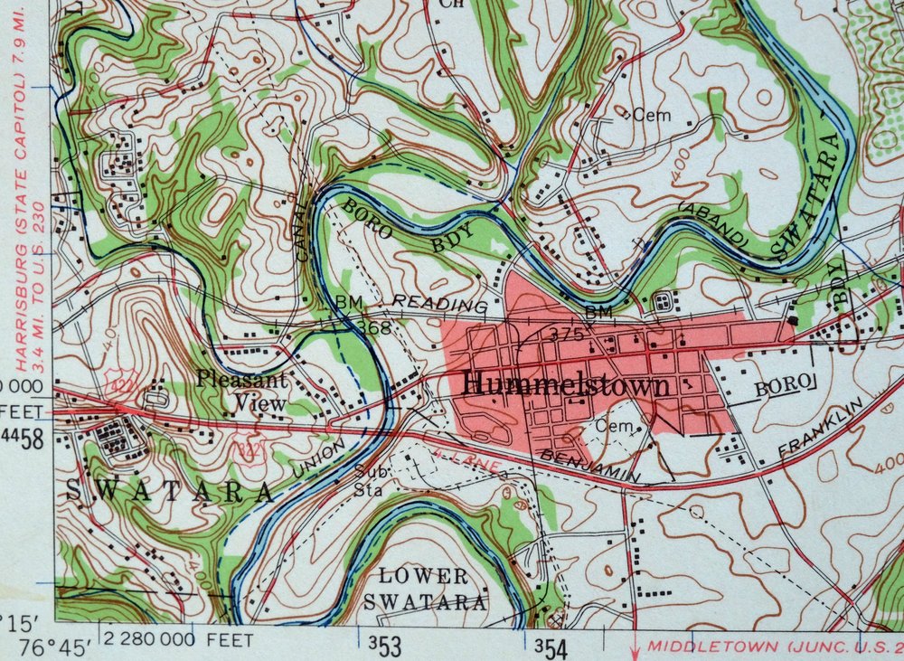
This joint USGS and Army Corps of Engineers topographic map is a 1956 edition, printed in 1965, and the sheet is in very good condition, lightly handled and never folded. The quad takes in a stretch of south-central Pennsylvania across Dauphin and Lebanon counties, with Hershey, Hummelstown, Palmyra, and Annville falling within its boundaries, along with the community of Fort Indiantown Gap. Printed on thick stock and carrying a library stamp in the right collar with edge protectors applied, this sheet will appeal to anyone with a tie to Hershey and its surrounding chocolate-country towns as they stood in the mid-twentieth century.
In stock
This vintage sheet is a 1956 edition of the Hummelstown Pennsylvania USGS topographic map. It is an original 61-year-old 1965 United States Geological Survey print in very good condition.
HOW THIS MAP CAN BE USED
In addition to making a fascinating conversation piece, this sheet would look great in a frame or on display, make a unique and prized gift for anyone interested in this area, be perfect as a reference for genealogy studies or general historical research, or fill that missing piece in your collection. Maps of this vintage are printed on durable stock and are well-suited for outdoor activities and recreation of all kinds, including hiking, backpacking, hunting, rafting and kayaking, backcountry skiing, geocaching, general exploration, treasure hunting, etc.
FEATURES SHOWN ON THE MAP
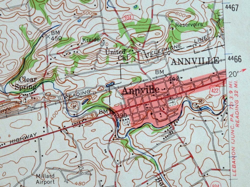
The Hummelstown 15-minute map shows cities and towns, roads, railroads, utilities and energy infrastructure, rivers, creeks, elevation contour lines, public land survey lines, county, state, and other administrative boundaries as they existed at the time of the survey in 1943 and 1956. A reddish tint is used on this sheet to indicate urban areas where only landmark buildings are depicted. Outside of those areas, all known structures (houses, businesses, churches, schools, barns, cabins, etc) are shown.
A VALUABLE HISTORICAL RECORD
Maps from the 15-minute series for the continental United States are no longer produced or printed by the USGS and original prints are becoming increasingly difficult to find. They are a valuable historical record for an area, as they contain many placenames and features that have been dropped from more recent maps.
Nearby maps
-

Lykens Pennsylvania Valley View Reinerton USGS Topo Map 1964
$45 Add to cart -

Lancaster Pennsylvania Columbia Lititz USGS Topo Map 1943
$58 Add to cart -

Wernersville Pennsylvania Mohnton USGS Topographic Map 1963
$45 Add to cart -

Carlisle Pennsylvania Schlusser USGS Topographic Map 1964
$45 Add to cart -

New Holland Pennsylvania Ephrata Akron USGS Topo Map 1962
$48 Add to cart -

Catawissa Pennsylvania Bloomsburg Ashland USGS Topo Map 1960
$45 Add to cart -

Loysville Pennsylvania Landisburg USGS Topo Map 1966 Vintage
$42 Add to cart -

Honey Brook Pennsylvania Thorndale USGS Topographic Map 1962
$49 Add to cart -

Newville Pennsylvania Shippensburg USGS 15-Min Topo Map 1959
$40 Add to cart -

Quarryville Pennsylvania Oxford USGS Topographic Map 1944
$53 Add to cart -

Hughesville Pennsylvania Millville Iola USGS Topo Map 1962
$42 Add to cart -

Hazleton Pennsylvania Lansford Tamaqua USGS Topo Map 1956
$48 Add to cart -

Coatesville Pennsylvania Oxford USGS Topographic Map 1944
$36 Add to cart -

Centre Hall Pennsylvania Bellefonte Zion USGS Topo Map 1958
$28 Add to cart -

Chambersburg Pennsylvania Guilford USGS Topographic Map 1964
$40 Add to cart -

Quakertown Pennsylvania Lansdale Perkasie USGS Topo Map 1911
$120 Add to cart -

Hazleton Pennsylvania McAdoo Jeddo USGS Topographic Map 1962
$47 Add to cart -
Wilkes-barre West Pennsylvania Nanticoke USGS Topo Map 1958
$30 Add to cart -
Eagles Mere Pennsylvania Laporte USGS Topographic Map 1961
$36 Add to cart -
Warrensville Pennsylvania Barbours USGS Topographic Map 1962
$42 Add to cart -

Wilkes-barre East Pennsylvania Laurel Run USGS Topo Map 1959
$36 Add to cart -
Bellefonte Pennsylvania Boalsburg USGS Topographic Map 1961
$44 Add to cart -
Kingston Pennsylvania Wilkes-Barre USGS Topographic Map 1959
$39 Add to cart -

Patapsco Maryland Baltimore Jessup USGS Topographic Map 1908
$195 Add to cart
