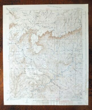
MAP DETAILS | |
|---|---|
| TITLE | Pine |
| STATE | Arizona |
| LOCATION | Vicinity of Payson, 75 miles northeast of Phoenix |
| SERIES | 15-minute |
| SURVEYED | 1933 and 1934 Field Survey |
| GEOGRAPHER | J.L.Lewis |
| EDITION | 1940 |
| PRINTED | 1940 |
| PRINT NOTES | Thick paper stock |
| SCALE | 1:62500 |
| CONTOUR INTERVAL | 50 feet |
| SHEET DIMENSIONS | 16 7/8 x 20 inches |
| MAP DIMENSIONS | 14 1/2 x 17 1/2 inches |
| COVERAGE AREA | 14 x 17 miles |
| SOURCE | From the vintage map collection of Art Christiansen, Tempe, Arizona |
| SHEET CONDITION For maps of this vintage, effort is made to note all visible flaws, no matter how minor. | |
| OVERALL CONDITION | Good |
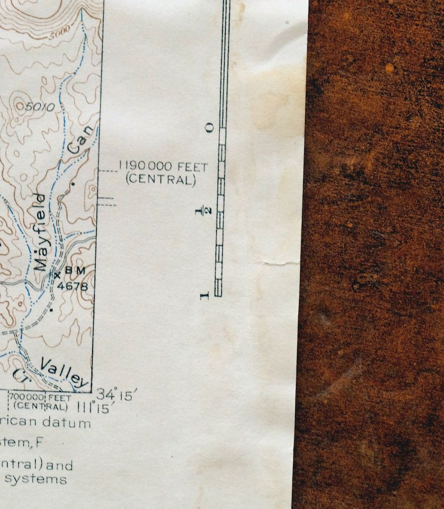
| SHEET NOTES | never folded, lightly age-toned paper, handling and rippling in bottom portion of sheet |
| MAP AREA | no markings, no blemishes |
| COLLARS | very minor wear or tears, no markings, library stamp in top collar, blemishes in collars |
 | |
| MAP COVERAGE Quadrangle extent overlaid on current basemap. | |
| BACKSIDE LEGEND | |
 A map summary is printed on the back side of the Pine sheet similar to the one shown in the picture. It outlines the history, purpose, and status of the USGS mapping program at the time of the printing in 1940. It also provides instructions on how to read contour lines and a description of how they are used to depict the terrain. At the bottom of the page is a legend showing all of the symbols used to represent the cultural, relief, and water features found on the map. | |
| PLACENAMES Depending on map series and survey date, all of the features listed below may not be shown on this map. This list contains features that currently exist or historically existed within the area covered by the map. The list can be used as a reference to determine if this map covers your area of interest. Placenames are listed alphabetically next to each feature type. | |
| CITIES AND TOWNS (CURRENT) | Payson, Pine, Strawberry, and Sun Valley |
| COUNTIES COVERED | Coconino and Gila |
| FEDERAL LAND UNITS | Coconino National Forest, Fossil Springs Wilderness, Mazatzal Wilderness, and Tonto National Forest |
| RIVERS AND STREAMS | Ash Creek, Bray Creek, Brody Creek, Butcher Creek, Chase Creek, Cherry Creek, Clear Creek, Clover Creek, Corduroy Wash, Dry Dude Creek, Dude Creek, East Verde River, Ellison Creek, Houston Creek, Mail Creek, North Sycamore Creek, Pine Creek, Rock Creek, Strawberry Creek, Sycamore Creek, Toms Creek, Webber Creek, and West Webber Creek |
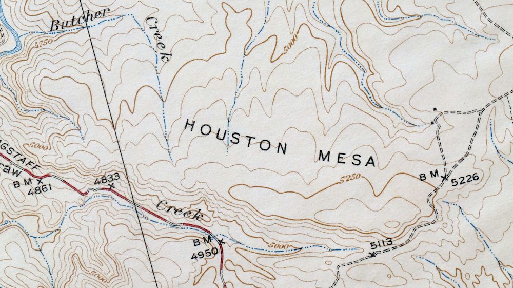
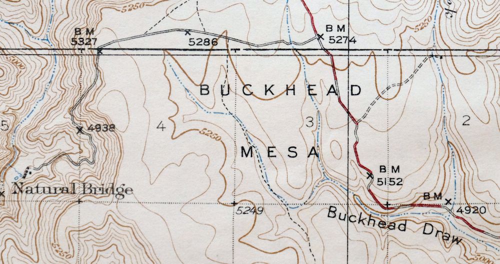
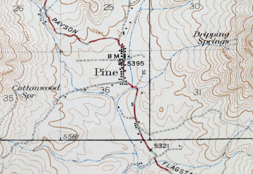
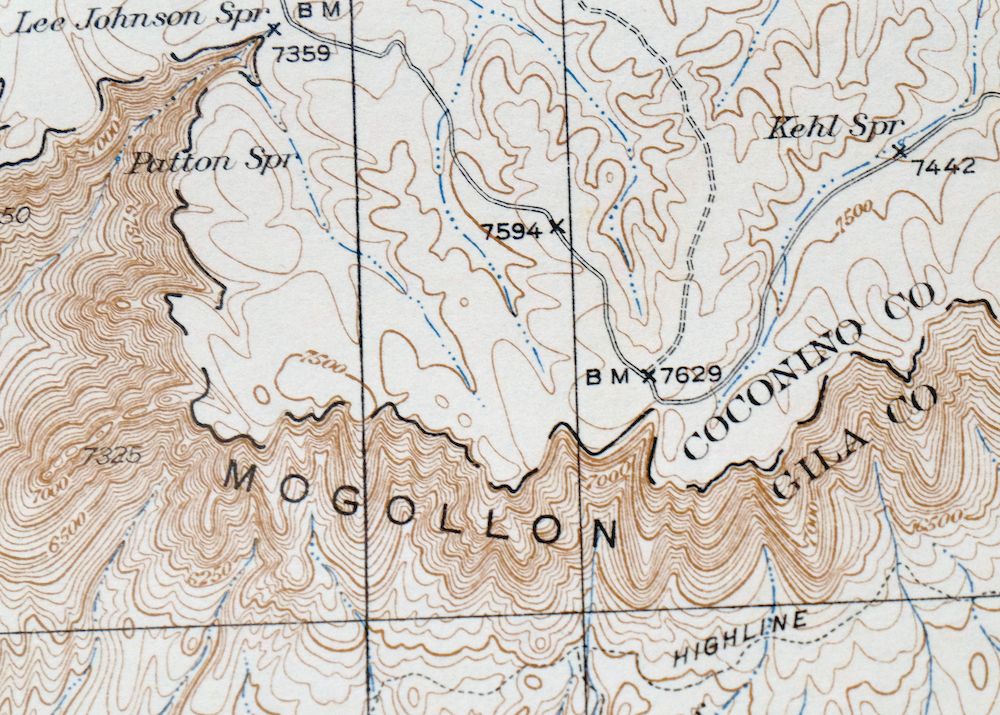
| Locations: Camp Geronimo, Camp Lo Mia, First Crossing Campground, Flowing Springs Campground, General Springs Ranger Station, Camp Geronimo, Gila County Maintenance Yard, Pine Ranger Station, Pine Trailhead, Second Crossing Campground, Shadow Rim Camp, Shoofly Indian Ruins, Sycamore Forest Camp, Third Crossing Campground, Water Wheel Campground, and Whiterock Corral. Areas: Hells Half Acre. Mountain Ranges: White Hills. Mountains, Peaks, and Summits: Baker Butte, Birch Mesa, Black Mesa, Brody Hills, Buckhead Mesa, Cedar Mesa, Cinch Hook Butte, Connally Point, Crackerjack Mesa, Houston Mesa, Pilot Knob, Strawberry Mountain, Sunflower Mesa, Twentynine Mile Butte, and White Mountain. Valleys and Canyons: Bear Canyon, Brushy Canyon, Buckhead Canyon, Buckhead Draw, Calahan Draw, Cedar Mesa Canyon, Cienega Draw, Contact Canyon, Cow Canyon, Cypress Canyon, Dead Cow Canyon, East Walnut Canyon, Fortyfour Canyon, Goat Camp Canyon, Hi Fuller Canyon, Horton Canyon, Kehl Canyon, Lockwood Gulch, Mayfield Canyon, Middle Kehl Canyon, The Narrows, Oak Spring Canyon, Patton Spring Draw, Pine Canyon, Poison Canyon, Potato Lake Draw, Poverty Draw, Quaking Aspen Canyon, Rock Canyon, Schoolhouse Canyon, Shannon Gulch, Shoofly Canyon, Strawberry Canyon, Strawberry Hollow, Tank Gulch, Walnut Canyon, West Kehl Canyon, and Willow Spring Canyon. Parks: Battle of Big Dry Wash Historical Marker, East Verde Park, and Kehl Campground. Drainages: Ash Creek, Bray Creek, Brody Creek, Butcher Creek, Chase Creek, Cherry Creek, Corduroy Wash, Dry Dude Creek, Dude Creek, East Bray Creek, Ellison Creek, Mail Creek, North Sycamore Creek, Sycamore Creek, Webber Creek, and West Webber Creek. Mines: Crackerjack Mine, Gowan Mine, Summit Mine, and White Mountain Mine. Lakes and Ponds: Baker Lake, Fivemile Lake, Potato Lake, and Twentynine Mile Lake. Buildings: General Springs Cabin and Tonto National Forest Seismological Observatory. Crossings: East Verde Crossing. Bluffs: Hi View Point and Milk Ranch Point. Basins: Brushy Basin and Strawberry Valley. Natural Arches: Tonto Natural Bridge. Airports: Payson Airport. Schools: Pine School. Ridges: Blazed Ridge, Crackerjack Ridge, Kehl Ridge, Little Diamond Rim, Miller Ridge, and Pine Ridge. Reservoirs and Tanks: Big Tank, Birch Mesa Tanks, Bean Patch Tank, Bear Canyon Tank, Bee Seep Tank, Bradshaw Tank, Bridge Tank, Brody Hills Tank, Brushy Basin Tank, Brushy Tank, Buckhead Tank, Cedar Flat Tank, Cedar Mesa Tank, Center Tank, Cherry Tank, Childress Tank, Connally Point Tank, Contact Trick Tank, Corner Tank, Crackerjack Tank, Deer Flat Tank, Dickenson Flat Tank, Donahue Tank, East Tank, Erosion Tank, Estate Tank, Fire Tank, Garden Tank, Gravel Tank, Hicks and Duncan Tank, Holder Tank, Horse Pasture Tank, Horsethief Tank, Horton Tank, Juniper Tank, Limestone Tank, Maverick Flat Tank, Park Tank, Pilot Knob Tank, Pine Ridge Tank, Point Tank, Pot Hole Tank, Racetrack Tank, Red Hill Tank, Red Rock Tank, Ridge Tank, Sevenmile Tank, Shoofly Number Two, Shoofly Tanks, Tank Gulch Tank, Thirtysix Tank, Tip Tank, Twentynine Tank, U Bar Tank, Webber Tank, Weimer Tank, White Hills Tank, White Mountain Tank, and White Tank. Flats: Cedar Flat, Deer Flat, Dickenson Flat, Maverick Flat, Poverty Flat, and Walnut Flat. Tunnels: The Tunnel. Towers: KMOG-AM (Payson). Springs: Baker Spring, Bootleg Spring, Bear Spring, Boy Scout Spring, Clover Spring, Cold Spring, Coldwater Spring, Contact Spring, Cottonwood Spring, Dripping Springs, Fortyfour Spring, Fuller Spring, General Springs, Geronimo Spring, Hi Fuller Spring, Huffer Spring, Immigrant Spring, Kehl Spring, Lee Johnson Spring, Little Fortyfour Spring, Mud Spring, Oak Spring, One Hundred and One Spring, Parsnip Spring, Patton Spring, Pieper Hatchery Spring, Pine Spring, Pivotrock Spring, Poison Spring, Poverty Spring, Red Rock Spring, South Walnut Spring, Summit Spring, Turkey Spring, Walnut Spring, Washington Spring, Water Spring, Webber Spring, Wildcat Spring, Willow Spring, and Windfall Spring. | |
| SHIPPING AND RETURNS | |
 This map sheet will be carefully rolled in a sturdy tube and shipped via the US Postal Service. If you find that the sheet you receive is not as described in the listing, you may ship it back to us for a refund of the purchase price. | |
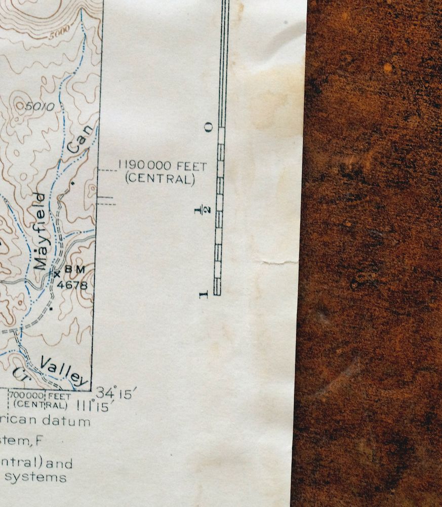
Pine Arizona Payson Sun Valley USGS Topo Map 1940 Antique
$45
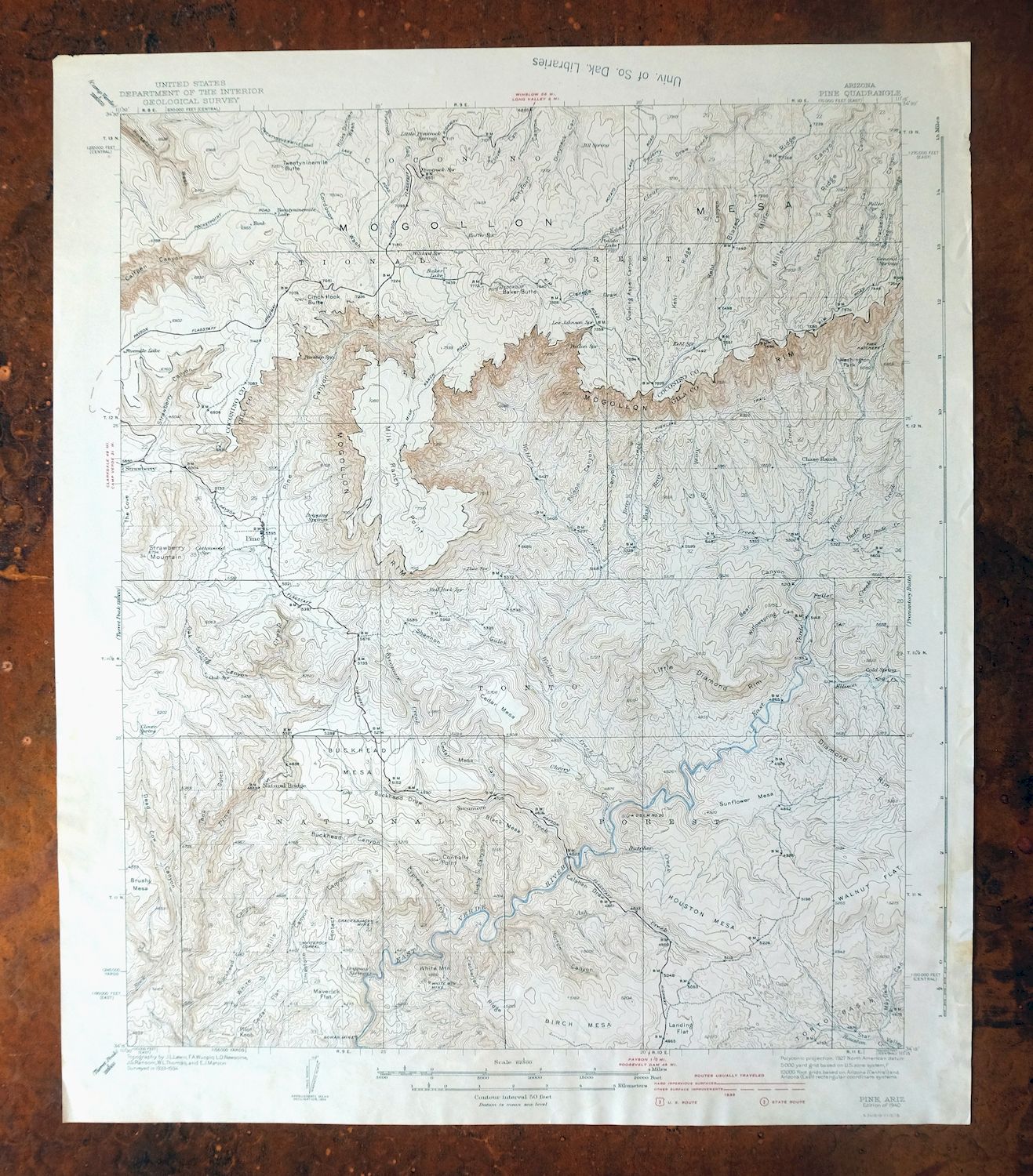
Printed in its year of first publication, 1940, this antique USGS 15-minute topographic sheet of the Pine quadrangle is in good condition, never folded and printed on thick stock, with light age-toning and some handling and rippling in the lower portion. Set in the high country of central Arizona north of Payson, the quad area spans Coconino and Gila counties and takes in the communities of Pine, Strawberry, and Sun Valley, along with parts of the Tonto and Coconino National Forests and the Mazatzal and Fossil Springs Wilderness areas. Surveyed in 1933 and 1934 under geographer J.L. Lewis, it shows the rugged Mogollon Rim country as mapped in the 1930s, and comes from the vintage map collection of Art Christiansen of Tempe, Arizona.
In stock
This antique sheet is a 1940 edition of the Pine Arizona USGS topographic map. It is an authentic 86-year-old United States Geological Survey print in good condition.
HOW THIS MAP CAN BE USED
In addition to making a fascinating conversation piece, this sheet would look great in a frame or on display, make a unique and prized gift for anyone interested in this area, be perfect as a reference for genealogy studies or general historical research, or fill that missing piece in your collection.
FEATURES SHOWN ON THE MAP
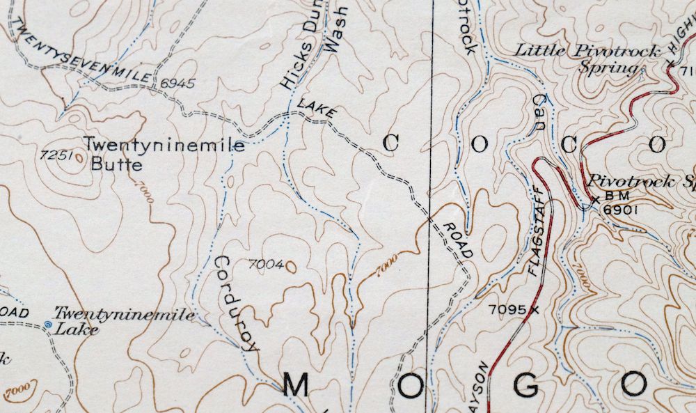
The Pine 15-minute map shows cities and towns, roads, railroads, rivers, creeks, elevation contour lines, public land survey lines, county, state, and other administrative boundaries as they existed at the time of the survey in 1933 and 1934. All known structures (houses, businesses, churches, schools, barns, cabins, etc) are also shown.
A VALUABLE HISTORICAL RECORD
Maps from the 15-minute series for the continental United States are no longer produced or printed by the USGS and original prints are becoming increasingly difficult to find. They are a valuable historical record for an area, as they contain many placenames and features that have been dropped from more recent maps.
Nearby maps
-
Promontory Butte Arizona Coconino NF USGS Topo Map 1960
$46 Add to cart -
Payson Arizona Sun Valley Gisela USGS Topo Map 1965 Vintage
$64 Add to cart -
Woods Canyon Arizona Sitgreaves NF USGS 15-Min Topo Map 1963
$35 Add to cart -
Heber Arizona Overgaard Mogollon Rim USGS Topo Map 1982
$45 Add to cart -
Mingus Mountain Arizona Cottonwood USGS Topographic Map 1970
$51 Add to cart -
Chediski Peak Arizona Cibecue USGS Topo Map 1963 Vintage
$32 Add to cart -

Clarkdale Arizona Cottonwood Jerome USGS Topo Map 1948
$44 Add to cart -

Mount Union Arizona Prescott NF Mayer USGS Topo Map 1949
$34 Add to cart -
Clay Springs Arizona Pinedale Aripine USGS Topo Map 1971
$34 Add to cart -
Mount Union Arizona Prescott NF Mayer USGS Topo Map 1964
$43 Add to cart -

Camelback Arizona Tonto NF Phoenix USGS 15-Min Topo Map 1948
$55 Add to cart -

Prescott Arizona Chino Valley Williamson USGS Topo Map 1966
$52 Add to cart -
Cibecue Arizona Sitgreaves NF USGS Topo Map 1963 Vintage
$32 Add to cart -
Crown King Arizona Prescott NF USGS Topo Map 1955 Vintage
$46 Add to cart -

Bill Williams Mountain Arizona Williams USGS Topo Map 1983
$40 Add to cart -
Winslow Arizona USGS 15-Min Topographic Map 1958 Vintage
$37 Add to cart -

Camp Verde Arizona Cottonwood Sedona USGS Topo Map 1965
$56 Add to cart -
Roosevelt Arizona Four Peaks Tonto Basin USGS Topo Map 1956
$52 Add to cart -

Cave Creek Arizona Phoenix Mesa USGS Topo Map 1963 Vintage
$44 Add to cart -
Mountainaire Arizona Coconino NF USGS Topo Map 1964 Vintage
$36 Add to cart -

Mcdowell Peak Arizona Scottsdale USGS Topo Map 1967 Vintage
$37 Add to cart -
Apache Junction Arizona Tonto NF Mesa USGS Topo Map 1975
$42 Add to cart -

Mesa Arizona Gilbert Salt River USGS Topo Map 1965 Vintage
$95 Add to cart -

Superior Arizona Top-of-the-World USGS Topo Map 1957 Vintage
$45 Add to cart