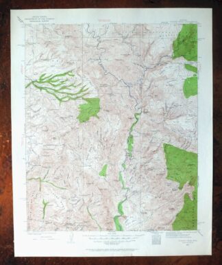
MAP DETAILS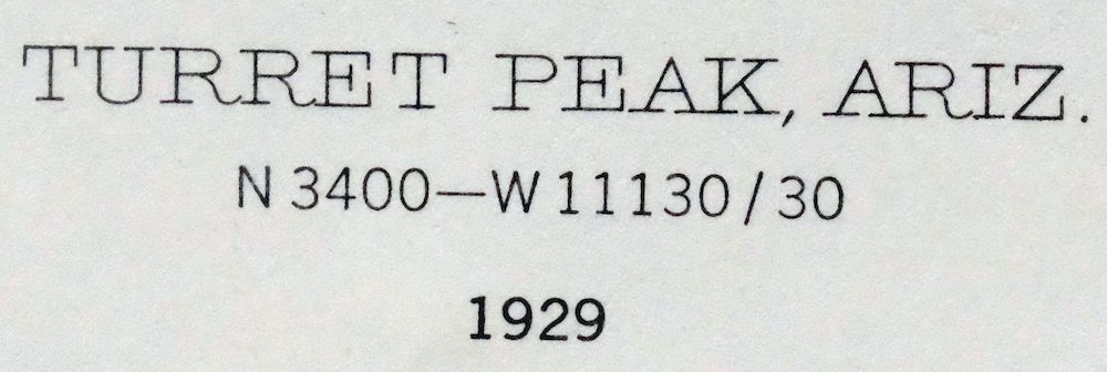 | |
|---|---|
| TITLE | Turret Peak |
| STATE | Arizona |
| LOCATION | Vicinity of Camp Verde, 60 miles north of Phoenix |
| SERIES | 30-minute |
| SURVEYED | 1928 and 1929 Field Survey |
| GEOGRAPHER | W.G. Carson |
| EDITION | 1929 |
| PRINTED | 1962 |
| PRINT NOTES | Thick paper stock, includes woodland tint (green to indicate vegetated areas) |
| SCALE | 1:125000 |
| CONTOUR INTERVAL | 100 feet |
| SHEET DIMENSIONS | 17 x 21 inches |
| MAP DIMENSIONS | 14 1/2 x 17 1/2 inches |
| COVERAGE AREA | 29 x 35 miles |
| SOURCE | From the vintage map collection of Art Christiansen, Tempe, Arizona |
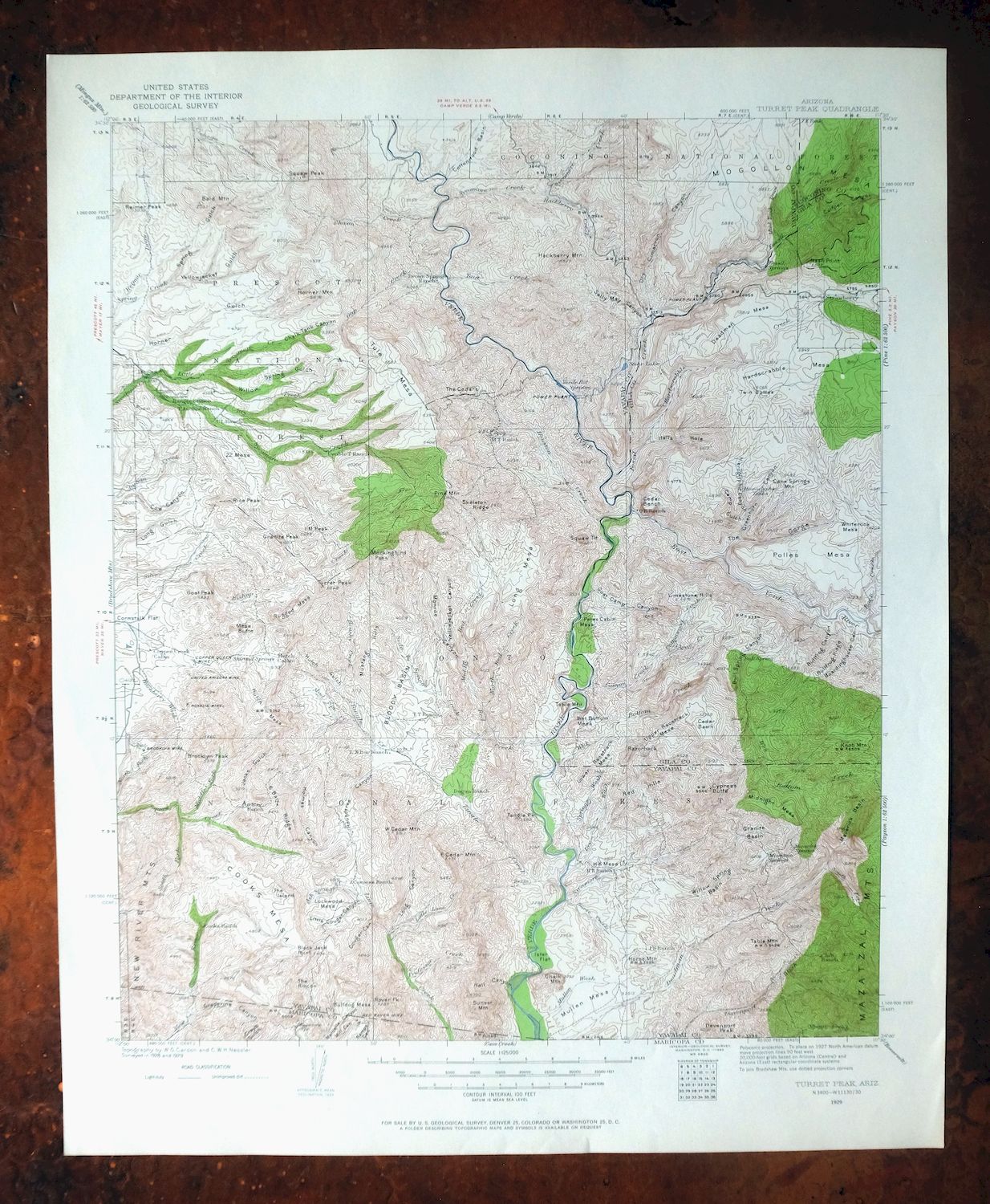
| MAP NOTES | An interesting snapshot of the Verde River corridor from just south of Camp Verde to present-day Horseshoe Reservoir, including Fossil Creek, the New River Mountains, and the Mazatzal Mountains, with numerous historic travel routes, mines, and placenames. |
| SHEET CONDITION For maps of this vintage, effort is made to note all visible flaws, no matter how minor. | |
| OVERALL CONDITION | Excellent |
| SHEET NOTES | very lightly handled, never folded, smooth and flat |
| MAP AREA | flawless map area |
| COLLARS | no wear or tears, no markings, no blemishes |
| MAP COVERAGE Quadrangle extent overlaid on current basemap. | |
| PLACENAMES Depending on map series and survey date, all of the features listed below may not be shown on this map. This list contains features that currently exist or historically existed within the area covered by the map. The list can be used as a reference to determine if this map covers your area of interest. Placenames are listed alphabetically next to each feature type. | |
| NOTABLE PLACES | Verde River, Fossil Creek, Dugas, and Mazatzal Mountains |
| CITIES AND TOWNS (CURRENT) | Camp Verde, Pine, and Strawberry |
| COUNTIES COVERED | Coconino, Gila, Maricopa, and Yavapai |
| FEDERAL LAND UNITS | Agua Fria National Monument, Cedar Bench Wilderness, Coconino National Forest, Fossil Springs Wilderness, Horseshoe Reservoir, Mazatzal Wilderness, Pine Mountain Wilderness, Prescott National Forest, and Tonto National Forest |
| RIVERS AND STREAMS | Ash Spring Creek, Bear Creek, Bishop Creek, Brushy Creek, Brushy Prong, Bull Run Creek, Canyon Creek, Cave Creek, Chasm Creek, Cienega Creek, Cimarron Creek, City Creek, Cold Water Creek, Copper Creek, Cottonwood Creek, Davenport Wash, Deadman Creek, Dry Creek, Dry Wash, East Branch Squaw Creek, East Verde River, Gap Creek, Hackberry Wash, Hardscrabble Creek, Horse Creek, Horsetank Wash, Houston Creek, Indian Creek, Lime Creek, Little Ash Creek, Little Lime Creek, Little Maggie May, Little Sycamore Creek, Middle Fork Squaw Creek, Middle Red Creek, Mud Spring Creek, New River, North Fork Deadman Creek, North Fork Squaw Creek, North Red Creek, Pigeon Creek, Professor Creek, Red Creek, Rock Creek, Sally May Wash, Sheep Creek, Silver Creek, Soda Springs Creek, South Fork Deadman Creek, South Fork Mud Spring Creek, South Prong Sycamore Creek, Spring Wash, Squaw Creek, Strawberry Creek, Sycamore Creek, Tangle Creek, Tank Creek, Towel Creek, and Wet Bottom Creek |
| WATER BODIES | Horseshoe Reservoir and Stehr Lake |
| Locations: Black Butte Corral, Bootleg Cabin, Boundary Corral, Brown Springs Ranch, Cavness Ranch, Cedar Mill Windmill, Chasm Corral, Childs, Childs Powerplant, Club Ranch, Cooks Ranch, Copper Creek Administrative Site, Copper Creek Cabin, Crockett Cabin, Double T Ranch, Dugan Ranch, Fifty One Ranch, H K Ranch, Hogan Cabin, Indian Creek Pipeline Troughs, Indian Creek Ranch, Irving Powerplant, JS Ranch, L F Ranch, LX Bar Ranch, Lazy T-seven Ranch, Lime Cabin, Long Gulch Corral, Lower Cedar Bench Corral, MT Ranch, Mesa Corral, Mikes Cabin, Monroe Canyon Windmill, Old Mine Windmill, Reimer Corral, Round Corral, Saddle Corral, Sheep Bridge Recreation Site, Sheep Creek Cabin, Six Bar Ranch, Slaughter Tank, Stan Tank, Sycamore Ranger Station, Sycamore Substation, T Anchor Ranch, TT Ranch, Tangle Creek Administrative Site, Tangle Creek Cabin, Upper Ranch, Wood Camp Cabin, and Wright Cabin. Mountains, Peaks, and Summits: 22 Mesa, Arnold Mesa, Bald Hill, Benchmark Mountain, Blackjack Point, Brooklyn Peak, Brushy Mesa, Buckskin Hills, Bull Spring Mesa, Bull Tank Mesa, Bulldog Mesa, CP Butte, Cane Springs Mountain, Chalk Mountain, Cimarron Hills, Cooks Mesa, Copper Mountain, Cottonwood Mesa, Cypress Butte, Davenport Peak, Deadman Mesa, East Cedar Mountain, Goat Peak, Granite Peak, Grapevine Mesa, H K Mesa, Hackberry Mountain, Hardscrabble Mesa, Horner Mountain, Horse Mountain, IM Peak, Knob Mountain, Limestone Hills, Little Mesa, Lockwood Mesa, Long Mesa, Lower Racetrack Mesa, Magazine Mesa, Marlow Mesa, Mesa Butte, Midnight Mesa, Mogollon Mesa, Monument Mountain, Mud Tanks Mesa, Mullen Mesa, Mustang Hills, Nash Point, Needle Rock, Petes Cabin Mesa, Pine Mountain, Polles Mesa, Red Hills, Red Mountain, Red Ridge, Reimer Peak, Rice Peak, The Rocks, Rover Peak, Rugged Mesa, Squaw Butte, Squaw Mountain, Squaw Peak, Sunset Mountain, Sycamore Buttes, Table Mountain, Tangle Peak, Mount Thomas, Tule Mesa, Turret Peak, Twin Buttes, Two Two Mesa, Upper Racetrack Mesa, West Cedar Mountain, Wet Bottom Mesa, Whiterock Mesa, Wingfield Mesa, and Yellow Jacket Mesa. Valleys and Canyons: Arnold Canyon, Beehouse Canyon, Boardinghouse Canyon, Bootleg Canyon, Boulder Canyon, Buffalo Canyon, Bull Spring Canyon, Bullfrog Canyon, Burnt Hole Canyon, Calf Pen Canyon, Camp Gulch, Chalk Tank Canyon, Clays Well Canyon, Cottonwood Canyon, Cougar Canyon, The Cove, Cow Canyon, Dorens Defeat Canyon, Dyke Canyon, Goat Camp Canyon, The Gorge, Gospel Hollow, Grapevine Canyon, Greenhorn Canyon, Hackberry Canyon, Hardscrabble Canyon, Hell Canyon, Hells Hole, Hieroglyphic Canyon, Holmes Canyon, Horse Camp Canyon, Hutch Gulch, Indian Spring Canyon, Jacks Gulch, L P Canyon, Lion Canyon, Little Cougar Canyon, Long Canyon, Magazine Canyon, Manzanita Canyon, Marcelle Canyon, Monroe Canyon, Mud Tanks Draw, Pinto Cow Canyon, Red Metal Canyon, Reimer Draw, Reno Canyon, Rice Gulch, Rock Spring Draw, Roundtree Canyon, Sandrock Canyon, South Fork Canyon, Spring Gulch, Straberry Valley, Sycamore Canyon, Tank Canyon, Tin Can Draw, Top of the Mountain Canyon, Trap Canyon, Tub Draw, Tule Canyon, White Dyke Canyon, Willow Spring Gulch, and Yellow Jacket Canyon. Woods: The Cedars. Parks: Cedar Bench Wilderness, Mazatzal Wilderness, and Pine Mountain Wilderness. Trails: Club Ranch Trail, Cold Water Trail, Cold Water Trail Number Twenty Seven, Mountain Ranch Trail Number Ten, Mud Tanks Trail Fifty, Nelson Trail Number One Hundred Fifty Nine, Ox Bow Trail Number One Hundred Sixty Three, Pine Flat Trail, Rosalie Mine Trail Number Eight, Table Mountain Trail, Towel Creek Trail, Towel Creek Trail Sixty Six - Sixty Seven Loop, Verde Rim Trail, Verde River Trail Number Eleven, and Willow Spring Trail. Drainages: Ash Spring Creek, Bear Creek, Brushy Creek, Brushy Prong, Bull Run Creek, Canyon Creek, Chasm Creek, Cimarron Creek, Clover Creek, Cold Water Creek, Cottonwood Creek, Deadman Creek, Dry Creek, Dry Wash, East Branch Squaw Creek, East Verde River, Fossil Creek, Gap Creek, Goat Camp Creek, Hardscrabble Creek, Holmes Creek, Horse Creek, Horsetank Wash, Houston Creek, Hutch Gulch Creek, Little Lime Creek, Little Sycamore Creek, Mazatzal Wash, Middle Fork Squaw Creek, Middle Red Creek, Mud Spring Creek, Mullen Wash, North Fork Deadman Creek, North Red Creek, Pigeon Creek, Professor Creek, Rock Creek, Sally May Wash, Soda Springs Creek, South Fork Deadman Creek, South Fork Mud Spring Creek, South Fork Squaw Creek, South Prong Sycamore Creek, Spring Wash, Squaw Creek, Strawberry Creek, Sycamore Creek, Tangle Creek, Towel Creek, and Wet Bottom Creek. Mines: Brooklyn Mine, Marble Mine, Red Rover Mine, Rosalie Mine, and Squaw Peak Mine. Waterfalls: The Falls. Dams: Blue Rock Dam, Danes Dam, and Stehr Lake Dam. Bluffs: Eds Point, Mogollon Rim, Verde Rim, and The White Bluffs. Gaps: Cimarron Saddle, High Saddle, Ike Saddle, and Mockingbird Pass. Bridges: Sheep Bridge. Bends: Mule Shoe Bend. Basins: Bloody Basin, Brushy Basin, Buck Basin, Cavness Hole, Cedar Basin, Cottonwood Basin, Deer Basin, Fossil Pocket, Granite Basin, Hackberry Basin, Hog Basin, Maverick Basin, North Hole, The Pocket, The Pocket, Red Hole, The Rincon, Six Bar Hole, South Hole, Sycamore Basin, Topaz Basin, Turkey Hole, and Willow Spring Basin. Ridges: Alder Ridge, Black Ridge, Bullfrog Ridge, Hells Neck Ridge, Hogan Ridge, Hutch Mesa, Ikes Backbone, Indian Spring Ridge, Razorback, Road Ridge, Rugged Mesa, Saddle Ridge, Six Bar Ridge, Skeleton Ridge, Towel Peaks, and Trail Ridge. Reservoirs and Tanks: Alder Tank, Antelope Tank, Arnold Mesa Tank, Bald Hill Tank Number One, Bald Hill Tank Number Two, Beehouse Tank, Bills Tank, Billy Tank, Blackburn Tank, Blackies Tank, Blackjack Tank, Blue Rock Tank, Blue Tank, Bootleg Tank, Beal Tank, Bear Grass Tank, Beck Tank, Bee Tree Tank, Bee Tree Tanks, Best Tank, Big Buck Tank, Big Flat Tank, Black Hill Tank, Black Jack Tank, Bottle Tank, Boulder Tank, Box T Tank, Brooklyn Tank, Brush Basin Tank, Buck Basin Tank, Buck Tank, Buckhead Tank, Buckskin Tank, Bull Run Tank, Bull Tank, Burmister Tank, Burnt Hole Spring Number One, Burnt Hole Spring Number Two, Button Flat Tank, Buzzard Tank, CP Tank, Tanko Caliente, Cane Springs Mountain Tank, Cedar Basin Tank, Cedar Bench Tank, Cedar Flat Tank, Cedar Mountain Trick Tank, Cedar Tank, Cement Tank, Chalk Tank, Childs Powerplant Tank, Christmas Tree Tank, Cimarron Tank, Circle Tank, Coldwater Tank Number One, Coldwater Tank Number Two, Cooks Mesa Tank Number One, Copper Creek Tank, Copper Tank, Cornstalk Flat Tank, Cottonwood Tank, Cougar Canyon Tank, Cougar Tank, Deadman Tank, Deer Tank, Divide Tank, Doe Tank, Doeskin Tank, Dogtown Tank, Dollar More Tank, Dorens Defeat Tank, Double Corral Tank, Double Tank, Dugan Rock Tank, Dugan Tank, Dyke Tank, Eds Point Tank, Eds Tank, F U Tank, Four Corners Tank, Freckles Tank, Gnat Tank, Granite Mountain Tank, Granite Mountain Tank Number Two, Grapevine Tank, Grasshopper Tank, Greenhorn Tank, Gus Tank, Gyetta Tank, Hardscrabble Tank, Head of Canyon Tank, Head of New River Tank, Headquarter Tank, Hells Hole Tank, Hidden Tank, Hieroglyphic Tanks, High Mesa Tank, Hog Basin Tank, Hogan Tank Number One, Hogan Tank Number Two, Hogback Tank, Holdin Pasture Tank, Hoop-em-up Tank, Hopeful Tank, Horner Mountain Tank, Horse Pasture Tank, Horshoe Tank, Hutch Tank, Ikes Tank, Indian Ruin Tank, Island Mesa Tank, Jacks Tank, Javelina Tank, Jims Tank, Jims Tank Number Two, Johns Tank, Juniper Tank, Laddens Tank, Ladder Tank, Latimore Tank, Layton Tank, Little Buckskin Tank, Little Horner Tank, Little Mesa Tanks, Lockwood Mesa Tank, Long Gulch Tank, Long Mesa Tank, Louthan Tank, Lower CP Tank, Lower Cedar Bench Tank, Lower Cedar Tank Number Two, Lower Dry Pasture Tank, Magazine Tank, Magazine Tank Number One, Magazine Tank Number Two, Mail Trail Tank Number Two, Maple Spring Tank, Marlow Mesa Tank, McRae Tank, Mesa Tank, Mescal Pit Tank, Mescal Tank, Meteor Tank, Middle Fork Tank, Middle Mesa Tank, Middle Polles Tank, Mill Point Tank, Mineral Hill Tank, Moebes Tank, Monument Mesa Tank, Mormon Tank, Mud Number One Tank, Mud Tank, Mustang Tank, Myrtle Tank, Narrows Tank, Nash Pasture Tank, Natural Tank, Needed Tank, Nigh Trap Tank, Nine and a Half Mile Tank, North Bishop Tank, North Campbell Tank, North Cedar Mountain Tank, North Fork Tank, North Pass Tank Number One, North Pass Tank Number Two, North Plowbeam Tank, Oak Tank, Oxbow Tank, Pambo Tank, Partnership Tank, Peach Tank, Peaches Tank, Petes Tank, Phoebes Tank, Picket Corral Tank, Picnic Tank, Pine Tank, Pistol Saddle Tank, Plaza Tank, Plowbeam Tank, Pocket Point Tank, Polles Tank Number Two, Pot Hole Tank, Pothole Tank Number Four, Pothole Tank Number One, Pothole Tank Number Three, Quail Tank, Quinine Bush Tank, Rafter Tank, Red Metal Tank, Red River Tank, Red Saddle Tank, Reimer Tank, Rincon Tank, Road Tank, Roadside Tank, Rock Spring Draw Tank, Rock Spring Tank, Rock Tank, Rockhouse Tank, Rodeo Flat Tank, Rosalie Tank, Ross Tank, Rugged Mesa Tank, Ruin Point Tank, Rusty Tank, Rusty Tank Number Two, Saddle Ridge Pasture Tank, Saddle Ridge Tank, Saddle Tank, Sahuaro Tank, Sally May Tank, Seldom Trick Tank, Shake Pile Tank, Sheep Corral Tank, Silver Creek Tank, Sinkhole Tank, Six Bar Mesa Tank, Slate Tank, Sob Tank, South Campbell Tank, South Pasture Tank, South Tank, Spring Tank, Squaw Basin Tank, Squaw Creek Tank, Squaw Peak Tank, Stehr Lake, Stehr Tank, Sycamore Basin Tank, Sycamore Tank, Sycamore Tank Number One, Sycamore Tank Number Two, Table Mountain Tank, Tangle Peak Tank, Tank Number Five, Taylor Tank, Tenmile Tank, Thistle Tank, Tin Can Tank, Tony Tank, Top of the Mountain Tank, Towel Peaks Tank, Towel Tank, Trail Tank, Tule Canyon Tank, Tule Mountain Tank, Tule Tank, Tunnel Tank, Turtle Tank, U A Tank, Upper Dry Pasture Tank, Verde Saddle Tank, Verde Tank, Walts Tank, Watters Tank, West Cedar Mountain Tank, West Polles Tank Number One, Wids Tank, Wilderness Tank, Willow Spring Tank, Willow Spring Wash Tank, Willow Tank, Wire Corral Tank, Wire Gold Tank, Y H Tank, Yellow Jacket Tank Number One, and Yellow Jacket Tank Number Two. Rapids: Baby Snaggletooth, Bull Run Rapid, Bushman Rapid, Childs Rapid, Off-the-Wall Rapid, Pre-Falls Rapid, Red Creek Rapids, Red Wall Rapid, Turkey Gobbler Rapid, and White Flash Rapid. Flats: The Basin, Beasley Flat, Cornstalk Flat, The Island, Ister Flat, Pine Flat, Rodeo Flat, and Saddle Ridge Pasture. Towers: KRIM-FM (Payson) and KRMM-FM (Payson). Wells: Bald Hill Well, Brooklyn Well, Cottonwood Well, Grapevine Well, Hooker Well, Piedmont Well, and Rugged Well. Springs: Amerone Spring Number One, Amerone Spring Number Two, Andrea Spring, Arnold Place Spring, Arnold Spring, Ash Spring, Barbara Spring, Beehouse Spring, Bishop Spring, Black Alder Spring, Bear Spring, Box T Spring, Brown Springs, Brush Spring, Brush Water, Bull Spring, Bullfrog Spring, Burnt Spring, Bush Spring, Cabin Spring, Cane Spring, Canyon Water, Cavness Spring, Cedar Basin Spring, Cedar Spring, Chalk Spring, Childers Seep, Childers Spring, Cimarron Spring, Clover Spring, Cockleburr Spring, Cold Water Spring, Copper Spring, Corral Spring, Cottonwood Spring, Coyote Spring, Crissman Spring, Dans Spring, Divide Spring, Dog Spring, Dorens Defeat Spring, Dripping Spring, Dry Creek Spring Number One, Dry Creek Spring Number Two, Dry Creek Water, Duck Spring, Dutchman Grave Spring, Eds Point Spring, Esperanea Spring, Fossil Springs, Frog Spring, Fuller Seep, Goat Camp Spring, Government Spring, Grapevine Spring, Graveyard Spring, Gulch Water Spring, Hackberry Spring, Hackberry Springs, Hidden Spring, High Spring, Highball Spring, Hogan Spring, Homestead Spring, Horner Cabin Spring, Hummingbird Spring, Hutch Springs, Indian Creek Trail Spring, Indian Spring, Jack Brooks Spring, Joe Best Spring, Juniper Spring, L P Spring, LX Spring, Laurel Hole Spring, Lime Creek Spring, Lime Spring, Lion Canyon Spring, Lithograph Spring, Little Hutch Spring, Lizard Spring, Locust Spring, Long Gulch Spring, Lost Spring, Lower Bishop Spring, Lower Dutchman Grave Spring, Lower Mine Spring, Lower Red Creek Spring, Lower Tule Water, Lower Water, Magazine Spring, Manterola Spring, Marcelle Spring, Marie Spring, Maverick Spring, Mesquite Spring, Metate Spring, Middle Fork Spring, Middle Water, Midway Spring, Mikes Spring, Mine Road Spring, Mine Spring, Mountain Spring, Mud Seep, Mud Spring, Mule Spring, Natural Spring, Nelson Place Spring, North Hole Spring, North Mine Spring, North Pass Spring, North Pasture Spring, Oak Thicket Spring, Oak Water, One Eighth Spring, Peet Spring, Petes Spring, Phroney Spring, Picnic Spring, Pine Spring, Polk Spring, Professor Spring, Quail Spring, Rabbit Spring, Red Basin Spring, Red Blow Spring, Red Bluff Spring, Red Creek Spring, Red Metal Spring, Red Rock Spring, Reimer Spring, Renner Spring, Reno Spring, Rice Spring, Rincon Spring, Roadside Spring, Rock Seep, Rock Spring, Rock Tank Spring, Rodeer Spring, Rodeo Flat Spring, Rosalie Spring, Round Spring, Roundtree Spring, Sally May Spring, Shirttail Spring, Silver Creek Spring, Slide Spring, Soda Spring Number One, Soda Spring Number Two, South Hole Spring, Stone Camp Spring, Surprise Spring, Sycamore Spring, Table Mountain Spring, Tear Spring, Thicket Spring, Tin Trough Spring, Towel Spring, Trail Spring, Tule Creek Seep Number One, Tule Number Two Water, Tule Spring, Tumbleweed Spring, Tunnel Spring, Twenty Two Mesa Seep, Upper Water, Verde Hot Springs, Walnut Spring, Wanda Seep, Warm Spring, Wash Spring, Wells Spring, West Water, Wet Prong Spring, White Dyke Spring, White Rock Spring, Whiterock Spring, Willow Spring, Wilson Spring, Wire Spring, Yellow Jacket Spring, and Zig Zag Spring. | |
| SHIPPING AND RETURNS | |
 This map sheet will be carefully rolled in a sturdy tube and shipped via the US Postal Service. If you find that the sheet you receive is not as described in the listing, you may ship it back to us for a refund of the purchase price. | |
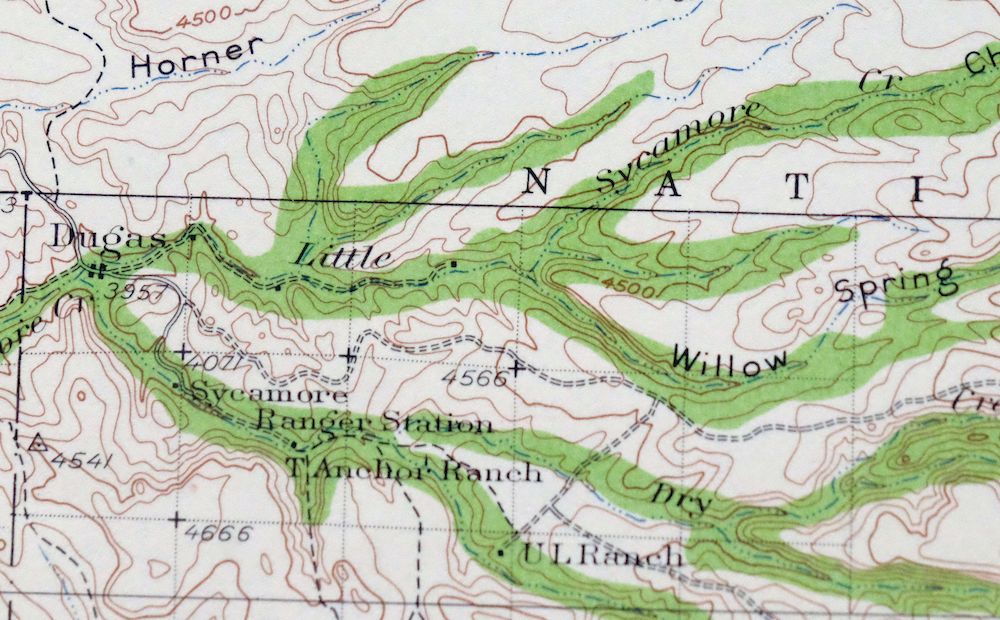
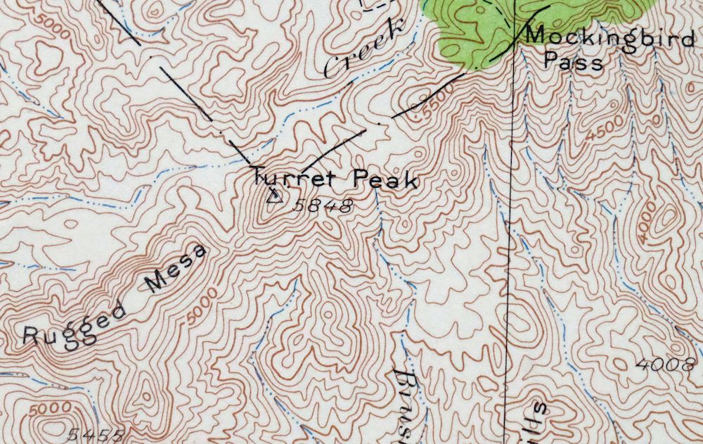
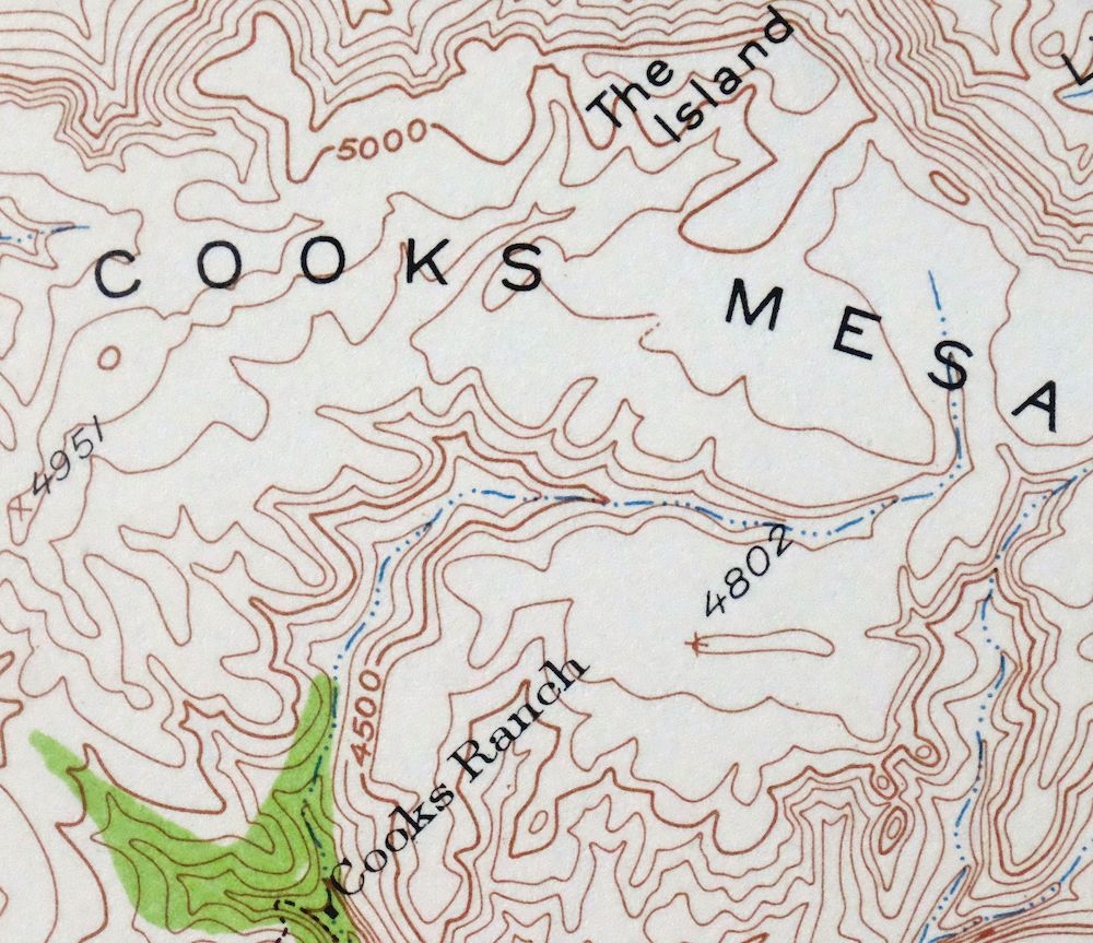
1962 Turret Peak Arizona USGS Topo Map: Verde River
$54
An interesting snapshot of the Verde River corridor from just south of Camp Verde to present-day Horseshoe Reservoir, including Fossil Creek, the New River Mountains, and the Mazatzal Mountains, with numerous historic travel routes, mines, and placenames. This is a 1929 edition of the Turret Peak quadrangle, printed in 1962 at a scale of 1:125,000, based on field survey work done in 1928 and 1929 by geographer W.G. Carson. Covering roughly 29 by 35 miles about 60 miles north of Phoenix, the quad area spans parts of four counties and takes in portions of the Tonto, Prescott, and Coconino national forests along with the small communities of Dugas and nearby Pine and Strawberry.
In stock
This vintage sheet is a 1929 edition of the Turret Peak Arizona USGS topographic map. It is an original 64-year-old 1962 United States Geological Survey print in excellent condition.
HOW THIS MAP CAN BE USED
In addition to making a fascinating conversation piece, this sheet would look great in a frame or on display, make a unique and prized gift for anyone interested in this area, be perfect as a reference for genealogy studies or general historical research, or fill that missing piece in your collection. Maps of this vintage are printed on durable stock and are well-suited for outdoor activities and recreation of all kinds, including hiking, backpacking, hunting, rafting and kayaking, backcountry skiing, geocaching, general exploration, treasure hunting, etc.
FEATURES SHOWN ON THE MAP
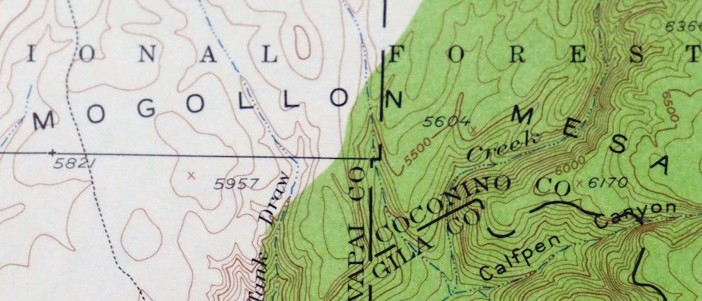
The Turret Peak 30-minute map shows cities and towns, roads, railroads, utilities and energy infrastructure, rivers, creeks, elevation contour lines, public land survey lines, county, state, and other administrative boundaries as they existed at the time of the survey in 1928 and 1929.
A VALUABLE HISTORICAL RECORD
Maps from the USGS 30-minute series have been out of print for many years. They have never been common and original prints are increasingly difficult to find. For areas where the 30-minute map was produced, it is usually the first large-scale survey done by the USGS for that area. These are a valuable historical record, as they contain many placenames and features that have been dropped from more recent series’ and editions.
Nearby maps
-
Turret Peak Arizona Camp Verde Pine USGS Topo Map 1933
$65 Add to cart -

Camp Verde Arizona Cottonwood Sedona USGS Topo Map 1965
$56 Add to cart -

Cave Creek Arizona Phoenix Mesa USGS Topo Map 1963 Vintage
$44 Add to cart -
Roosevelt Arizona Four Peaks Tonto Basin USGS Topo Map 1956
$52 Add to cart -

Congress Arizona Yarnell Wilhoit USGS Topo Map 1948 Vintage
$38 Add to cart -

Florence Arizona Apache Junction Superior USGS Topo Map 1917
$70 Add to cart -
Payson Arizona Sun Valley Gisela USGS Topo Map 1965 Vintage
$64 Add to cart -

1965 Payson Arizona USGS Topo Map: Gisela (1936 Edition)
$50 Add to cart -
Pine Arizona Payson Sun Valley USGS Topo Map 1940 Antique
$45 Add to cart -
Mingus Mountain Arizona Cottonwood USGS Topographic Map 1970
$51 Add to cart -
Crown King Arizona Prescott NF USGS Topo Map 1955 Vintage
$46 Add to cart -

Crown King Arizona Prescott NF USGS Topo Map 1950 Vintage
$33 Add to cart -

Mount Union Arizona Prescott NF Mayer USGS Topo Map 1949
$34 Add to cart -
Mount Union Arizona Prescott NF Mayer USGS Topo Map 1964
$43 Add to cart -
Promontory Butte Arizona Coconino NF USGS Topo Map 1960
$46 Add to cart -

Mcdowell Peak Arizona Scottsdale USGS Topo Map 1967 Vintage
$37 Add to cart -

Camelback Arizona Tonto NF Phoenix USGS 15-Min Topo Map 1948
$55 Add to cart -
Prescott Arizona Chino Valley Williamson USGS Topo Map 1948
$25 Add to cart -

Clarkdale Arizona Cottonwood Jerome USGS Topo Map 1948
$44 Add to cart -
Woods Canyon Arizona Sitgreaves NF USGS 15-Min Topo Map 1963
$35 Add to cart -
Glendale Arizona Phoenix Peoria USGS Topo Map 1975 Vintage
$37 Add to cart -
Mountainaire Arizona Coconino NF USGS Topo Map 1964 Vintage
$36 Add to cart -

Mesa Arizona Gilbert Salt River USGS Topo Map 1965 Vintage
$75 Add to cart -
1975 USGS Topo Map: Mesa, Gilbert, Arizona (Vintage Print)
$52 Add to cart