MAP DETAILS | |
|---|---|
| TITLE | Susanville |
| STATE | California |
| LOCATION | 70 miles northwest of Reno, NV |
| SERIES | 15-minute |
| SURVEYED | 1947 through 1954 Aerial and Field Survey |
| EDITION | 1954 |
| PRINTED | 1966 |
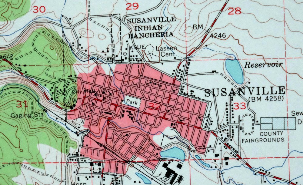
| PRINT NOTES | Thick paper stock, includes woodland tint (green to indicate vegetated areas). A reddish tint is used to indicate urban areas where only landmark buildings are shown. |
| SCALE | 1:62500 |
| CONTOUR INTERVAL | 40 feet |
| SHEET DIMENSIONS | 17 x 21 inches |
| MAP DIMENSIONS | 13 3/8 x 17 1/2 inches |
| COVERAGE AREA | 13 x 17 miles |
| SHEET CONDITION For maps of this vintage, effort is made to note all visible flaws, no matter how minor. | |
| OVERALL CONDITION | Flawless |
| SHEET NOTES | very lightly handled, never folded, smooth and flat |
| MAP AREA | no wear, no markings, no blemishes |
| COLLARS | no wear or tears, no markings, no blemishes |
| MAP COVERAGE Quadrangle extent overlaid on current basemap. | |
| PLACENAMES Depending on map series and survey date, all of the features listed below may not be shown on this map. This list contains features that currently exist or historically existed within the area covered by the map. The list can be used as a reference to determine if this map covers your area of interest. Placenames are listed alphabetically next to each feature type. | |
| CITIES AND TOWNS (CURRENT) | Janesville and Susanville |
| COUNTIES COVERED | Lassen and Plumas |
| FEDERAL LAND UNITS | Lassen National Forest, Plumas National Forest, Susanville Rancheria, and Tunnison Mountain Wilderness Study Area |
| RIVERS AND STREAMS | Bankhead Creek, Baxter Creek, Bear Valley Creek, Boulder Creek, Brockman Slough, Cheney Creek, Clarks Creek, Elysian Creek, Gold Run Creek, Hills Creek, Indian Creek, Lake Leavitt Inlet Canal, Lassen Creek, Lights Creek, Morton Creek, Pierce Creek, Piute Creek, Sand Slough, Sloss Creek, Smith Creek, Susan River, Thompson Creek, and Willow Creek |
| WATER BODIES | Emerson Lake, Lake Leavitt, Nagel Reservoir, Ridenoure Reservoir, and Shugru Reservoir |
| Populated Place: Leavitt, Susanville, Janesville, and Johnstonville. Locations: Peter Lassen Grave, Wheeler Sheep Campground, California Correctional Center, Emerson Lake Golf Club, and Bass Hill Landfill. Administrative Boundaries: Susanville Indian Rancheria, City of Susanville, and Susanville Division. Mountain Ranges: Diamond Mountains. Mountains, Peaks, and Summits: Antelope Mountain, Bass Hill, Diamond Mountain, Jim Peterson Hill, Red Rock, Susanville Peak, Thompson Peak, and Shugru Hill. Valleys and Canyons: Elysian Valley, Hidden Valley, and Rices Canyon. Parks: Compton Park, Lasen County Fairgrounds, Memorial Park, Riverside Park, and Susan River Park. Drainages: Bankhead Creek, Brockman Slough, Cheney Creek, Elysian Creek, Gold Run Creek, Hills Creek, Jensen Slough, Lassen Creek, Piute Creek, and Sand Slough. Mines: Gold Run Pit and Mallery Pit. Churches: Calvary Baptist Church, Calvary Chapel of Susanville, Church of Christ, First Baptist Church, First Southern Baptist Church, Good Shepherd Episcopal Church, Gospel Tabernacle, Indian Heights Full Gospel Church, Sacred Heart Catholic Church, Saint Pauls Lutheran Church, Southern Baptist Church of Janesville, Susanville Church of the Nazarene, and The Church of Jesus Christ of Latter Day Saints. Post Office: Susanville Post Office, Eagle Post Office, and Janesville Post Office. Hospitals: Banner Lassen Medical Center. Lakes and Ponds: Emerson Lake and The Beaver Ponds. Buildings: Lassen County Courthouse, Lassen County Free Library, Susanville City Hall, Veterans Memorial Hall, Bureau of Land Management Eagle Lake Field Office, California Correctional Center, California Correctional Center High Desert State Prison Fire Department, California Department of Forestry and Fire Protection Lassen - Modoc Unit Fire Station, California Highway Patrol Susanville, High Desert State Prison, Janesville Fire Protection District, Lake Forest Volunteer Fire Department, Lassen County Sheriff's Office, South Lassen Ambulance, Susan River Fire Protection District Station 1, Susan River Fire Protection District Station 2, Susan River Fire Protection District Station 3, Susanville Fire Department, Susanville Police Department, and United States Forest Service Lassen National Forest. Dams: Calif Cons Center 1-074 Dam, Emerson 255 Dam, Lake Leavitt 236-002 Dam, Mardis Barry 1228-002 Dam, Mill Pond 237-006 Dam, Peconom 1228 Dam, and Shugru 239 Dam. Canals: Emerson Ditch and Lake Leavitt Inlet Canal. Basins: Bear Valley and Gilman Basin. Airports: Susanville Municipal Airport. Swamps: Nagel Reservoir. Census: Janesville Census Designated Place and Johnstonville Census Designated Place. Schools: Richmond Elementary School, Riverside School, Credence High School, Diamond View School, Janesville Elementary School, Johnstonville Elementary School, Lassen Community College, Lassen High School, McKinley Elementary School, Meadow View School, Roosevelt School, and Washington School. Ridges: Wildcat Ridge. Reservoirs and Tanks: Lake Leavitt, Ridenoure Reservoir, Shugru Reservoir, Barry Reservoir, and Off Stream Reservoir. Military: Roop Fort. Flats: Aspen Flat, Bear Flat, Lost Meadows, and Lowe Flat. Towers: KSUE-AM (Susanville) and KSUE-FM (Susanville). Springs: Emerson Spring, Red Rock Spring, Snoring Spring, Bagwell Spring, and Cady Spring. Cemetery: Diamond Crest Cemetery, Indian Cemetery, Janesville Cemetery, Lassen County Cemetery, and Susanville Cemetery. | |
| SHIPPING AND RETURNS | |
 This map sheet will be carefully rolled in a sturdy tube and shipped via the US Postal Service. If you find that the sheet you receive is not as described in the listing, you may ship it back to us for a refund of the purchase price. | |
Susanville California Janesville USGS Topo Map 1966 Vintage
$39
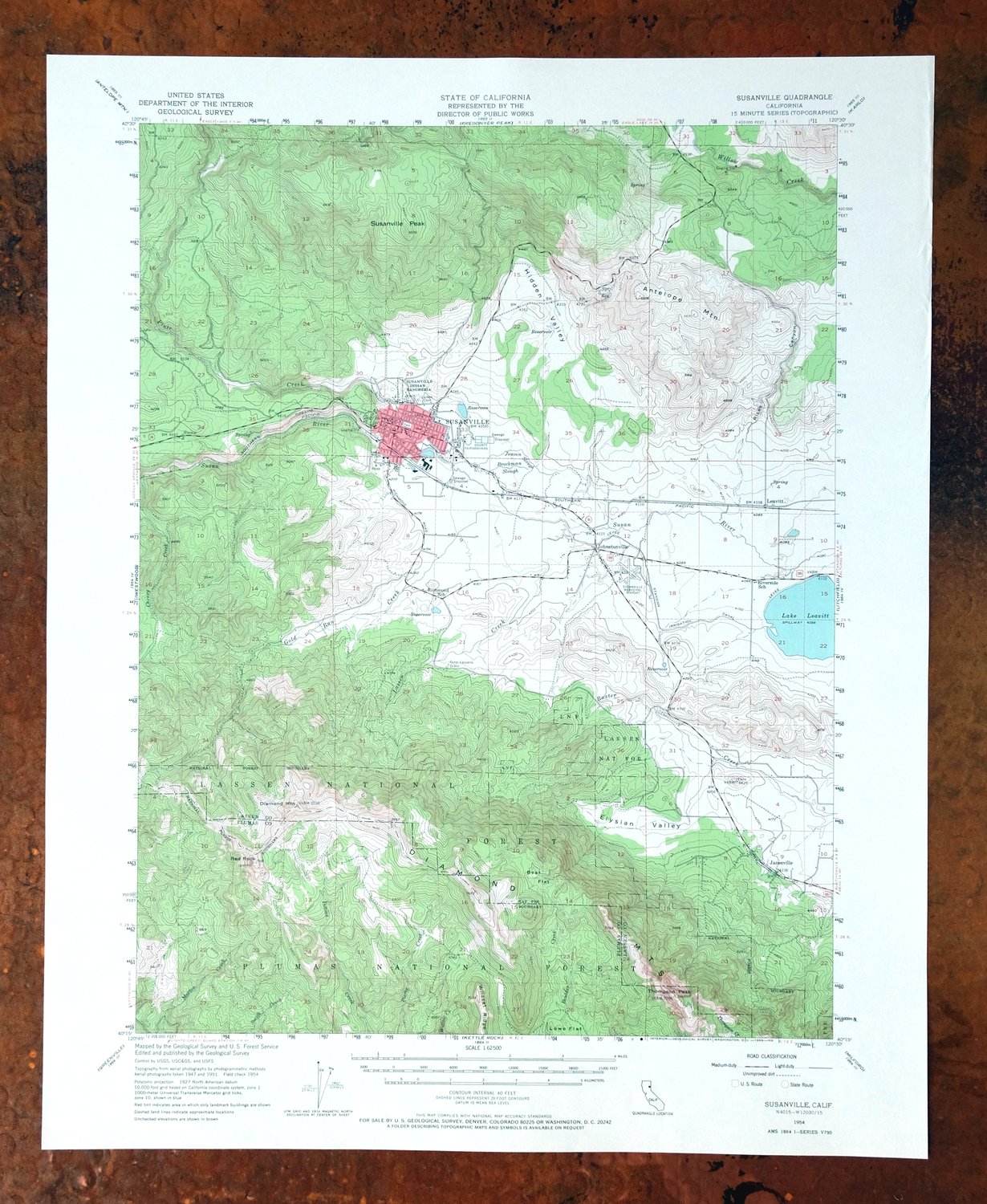
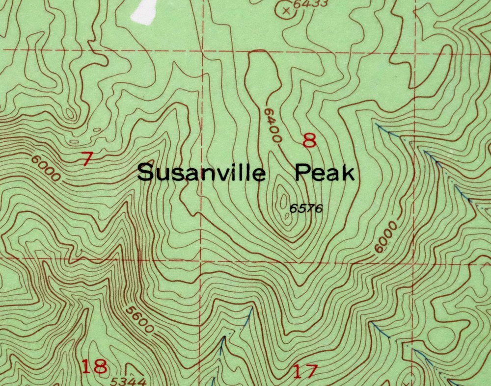
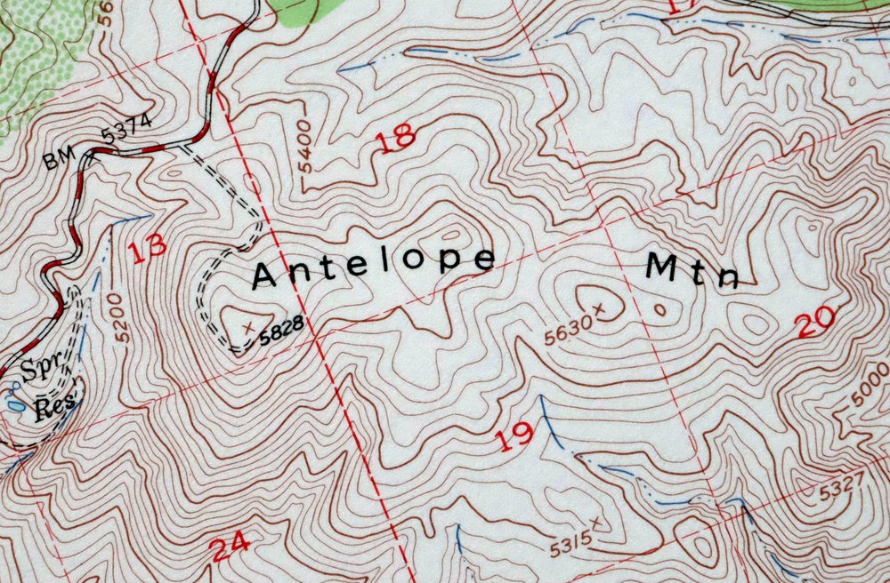
This USGS 15-minute topographic map is a 1954 edition printed in 1966, and the sheet is in flawless condition: never folded, smooth and flat, on thick stock. Covering a 13-by-17-mile stretch of northeastern California about 70 miles northwest of Reno, the quad takes in the city of Susanville and the community of Janesville in Lassen and Plumas counties, along with portions of the Plumas and Lassen national forests. The 40-foot contours trace the transition from the pine country of the Sierra Nevada foothills toward the high desert edge, the kind of terrain that shaped Susanville’s history as a mountain lumber and ranching town.
Because this sheet was never folded and lies flat, it would frame well for anyone with a tie to the area.
In stock
This vintage sheet is a 1954 edition of the Susanville California USGS topographic map. It is an original 60-year-old 1966 United States Geological Survey print in flawless condition.
HOW THIS MAP CAN BE USED
In addition to making a fascinating conversation piece, this sheet would look great in a frame or on display, make a unique and prized gift for anyone interested in this area, be perfect as a reference for genealogy studies or general historical research, or fill that missing piece in your collection. Maps of this vintage are printed on durable stock and are well-suited for outdoor activities and recreation of all kinds, including hiking, backpacking, hunting, rafting and kayaking, backcountry skiing, geocaching, general exploration, treasure hunting, etc.
FEATURES SHOWN ON THE MAP
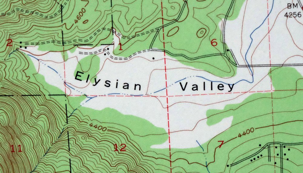
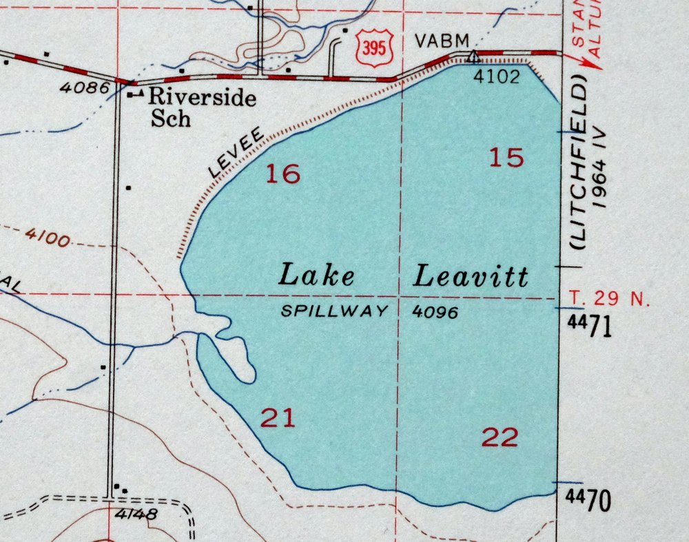
The Susanville 15-minute map shows cities and towns, roads, railroads, utilities and energy infrastructure, rivers, creeks, elevation contour lines, public land survey lines, county, state, and other administrative boundaries as they existed at the time of the survey in 1947 through 1954. A reddish tint is used on this sheet to indicate urban areas where only landmark buildings are depicted. Outside of those areas, all known structures (houses, businesses, churches, schools, barns, cabins, etc) are shown.
A VALUABLE HISTORICAL RECORD
Maps from the 15-minute series for the continental United States are no longer produced or printed by the USGS and original prints are becoming increasingly difficult to find. They are a valuable historical record for an area, as they contain many placenames and features that have been dropped from more recent maps.
Nearby maps
-
Litchfield California Susanville USGS Topo Map 1972 Vintage
$40 Add to cart -
Westwood California USGS 15-Min Topographic Map 1961 Vintage
$38 Add to cart -
Fredonyer Peak California USGS 15-Min Topo Map 1972 Vintage
$40 Add to cart -
Milford California USGS 15-Min Topographic Map 1966 Vintage
$40 Add to cart -
Sierraville California Calpine Loyalton USGS Topo Map 1969
$40 Add to cart -
Manzanita Lake California Viola USGS Topo Map 1974 Vintage
$39 Add to cart -
Panther Spring California USGS 15-Min Topo Map 1970 Vintage
$36 Add to cart -

Richardson Springs California Chico Nord USGS Topo Map 1966
$35 Add to cart -
Big Sage Reservoir California Alturas USGS Topo Map 1972
$40 Add to cart -
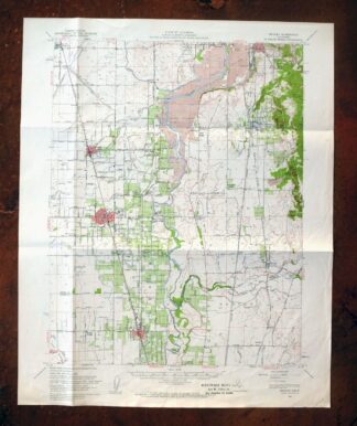
Gridley California Oroville Live Oak USGS Topo Map 1959
$37 Add to cart -
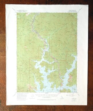
Lamoine California Shasta Lake USGS Topo Map 1974 Vintage
$40 Add to cart -
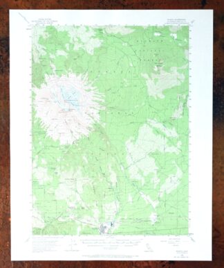
Shasta California McCloud USGS 15-Min Topo Map 1968 Vintage
$40 Add to cart -
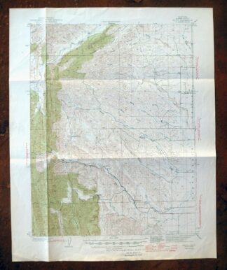
Fruto California Stony Creek Nye Creek USGS Topo Map 1944
$30 Add to cart -
Tulelake California USGS 15-Min Topographic Map 1970 Vintage
$33 Add to cart -
Dorris California Mount Hebron USGS Topo Map 1965 Vintage
$19 Add to cart -
Stonyford California USGS 15-Min Topo Map 1967 Vintage
$39 Add to cart -
Disaster Nevada Adler Creek WSA Denio USGS Topo Map 1909
$65 Add to cart -
Lakeport California Lucerne Nice USGS Topo Map 1977 Vintage
$44 Add to cart -
Fales Hot Springs California USGS Topo Map 1971 Vintage
$20 Add to cart -
Mount Vaca California Fairfield Vacaville USGS Topo Map 1967
$40 Add to cart -
Tower Peak California USGS 15-Min Topo Map 1972 Vintage
$40 Add to cart -
Pittsburg California Concord Fairfield USGS Topo Map 1965
$38 Add to cart -
Piercy California USGS 15-Min Topographic Map 1971 Vintage
$33 Add to cart -
Port Chicago California Concord Martinez USGS Topo Map 1956
$38 Add to cart