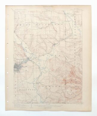
MAP DETAILS | |
|---|---|
| TITLE | Jamestown |
| STATE | New York |
| LOCATION | 55 miles south of Buffalo |
| SERIES | 15-minute |
| SURVEYED | 1902 and 1903 Field Survey |
| GEOGRAPHER | H.M. Wilson |
| ENGRAVED | 1905 |
| EDITION | 1905 |
| PRINTED | 1905 |
| PRINT NOTES | Thick paper stock |
| SCALE | 1:62500 |
| CONTOUR INTERVAL | 20 feet |
| SHEET DIMENSIONS | 16 1/2 x 20 inches |
| MAP DIMENSIONS | 13 x 17 1/2 inches |
| COVERAGE AREA | 13 x 17 miles |
| SOURCE | From an uncommonly well-preserved collection |
| SHEET CONDITION For maps of this vintage, effort is made to note all visible flaws, no matter how minor. | |
| OVERALL CONDITION | Excellent |
| SHEET NOTES | very lightly handled, never folded, smooth and flat |
| MAP AREA | flawless map area |
| COLLARS | no wear or tears, no markings, hole punches along left collar |
| MAP COVERAGE Quadrangle extent overlaid on current basemap. | |
| BACKSIDE LEGEND | |
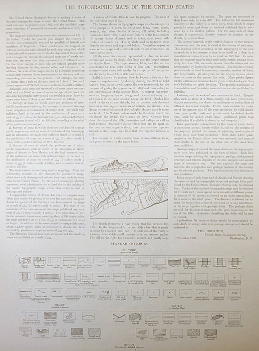 A map summary is printed on the back side of the Jamestown sheet similar to the one shown in the picture. It outlines the history, purpose, and status of the USGS mapping program at the time of the printing in 1905. It also provides instructions on how to read contour lines and a description of how they are used to depict the terrain. At the bottom of the page is a legend showing all of the symbols used to represent the cultural, relief, and water features found on the map. | |
| PLACENAMES Depending on map series and survey date, all of the features listed below may not be shown on this map. This list contains features that currently exist or historically existed within the area covered by the map. The list can be used as a reference to determine if this map covers your area of interest. Placenames are listed alphabetically next to each feature type. | |
| CITIES AND TOWNS (CURRENT) | Ellington, Falconer, Frewsburg, Jamestown, and Randolph |
| COUNTIES COVERED | Cattaraugus and Chautauqua |
| RIVERS AND STREAMS | Allen Brook, Battle Creek, Cassadaga Creek, Chadakoin River, Clear Creek, Conewango Creek, Davis Brook, Dry Brook, Elkins Brook, Folsom Creek, Frews Run, Hatch Creek, Indian Brook, Kiantone Creek, Little Conewango Creek, Mill Creek, Moon Brook, Mud Creek, North Branch Sawmill Run, Stillwater Creek, Storehouse Run, Twentyeighth Creek, and Wiltsie Run |
| WATER BODIES | Hartson Swamp |
| Locations: Jamestown Optimist Boys Camp, Jamestown Rifle Club, Lake Erie Beagle Club, Moon Brook Country Club, and Schermerhorn Corners. Administrative Boundaries: Town of Carroll, Town of Ellicott, Town of Ellington, Town of Gerry, City of Jamestown, Town of Kiantone, Town of Poland, Town of Randolph, and Town of South Valley. Mountains, Peaks, and Summits: Harris Hill and Jones Hill. Parks: Allen Park, Baker Park, Dow Park, Emory Park, Falconer Park, Fenton Park, Lincoln Park, Roseland Park, School Park, and Willard Park. Drainages: Allen Brook, Cass Run, Cassadaga Creek, Chadakoin River, Clear Creek, Davis Brook, Dry Brook, Elkins Brook, Fly Creek, Folsom Creek, Frews Run, Fuller Gulf Creek, Harris Brook, Indian Brook, Kiantone Creek, Little Bone Run, Little Conewango Creek, Mill Creek, Moon Brook, Mud Creek, Stillwater Creek, Twentyeighth Creek, and York Run. Churches: Oak Hill Church and Wheeler Hill Church. Forests: State Reforestation Area Number 10. Lakes and Ponds: Clay Pond. Airports: Laska Airport and Randolph Airport. Swamps: Hartson Swamp. Schools: Charles Street School, Dean School, Euclid School, Fletcher School, Jefferson Junior High School, Levant School, Lillian Dickson School, Love School, North Main Street School, North Side School, Riverside School, Rogers School, Smith School, Washington Junior High School, and Willard Street School. Towers: WHUG-FM (Jamestown) and WKSN-AM (Jamestown). | |
| SHIPPING AND RETURNS | |
 This map sheet will be carefully rolled in a sturdy tube and shipped via the US Postal Service. If you find that the sheet you receive is not as described in the listing, you may ship it back to us for a refund of the purchase price. | |
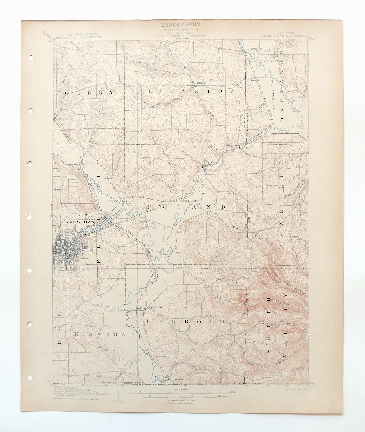
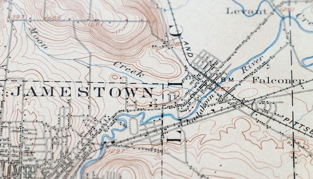
Jamestown New York Falconer Frewsburg USGS Topo Map 1905
$74
Printed in its year of first publication, 1905, this USGS 15-minute topographic sheet is in excellent condition, never folded and still smooth and flat on thick stock. Drawn from an 1902 and 1903 field survey and engraved in 1905, it takes in the Jamestown area of southwestern New York, with Falconer, Frewsburg, Randolph, and Ellington falling within the quad across Cattaraugus and Chautauqua counties. Engraved under geographer H.M. Wilson, it shows the country as it was mapped at the turn of the century, and this example comes from an uncommonly well-preserved collection with a flawless map area, showing only hole punches along the left collar.
In stock
This antique sheet is a 1905 edition of the Jamestown New York USGS topographic map. It is an authentic 121-year-old United States Geological Survey print in excellent condition.
HOW THIS MAP CAN BE USED
In addition to making a fascinating conversation piece, this sheet would look great in a frame or on display, make a unique and prized gift for anyone interested in this area, be perfect as a reference for genealogy studies or general historical research, or fill that missing piece in your collection.
FEATURES SHOWN ON THE MAP
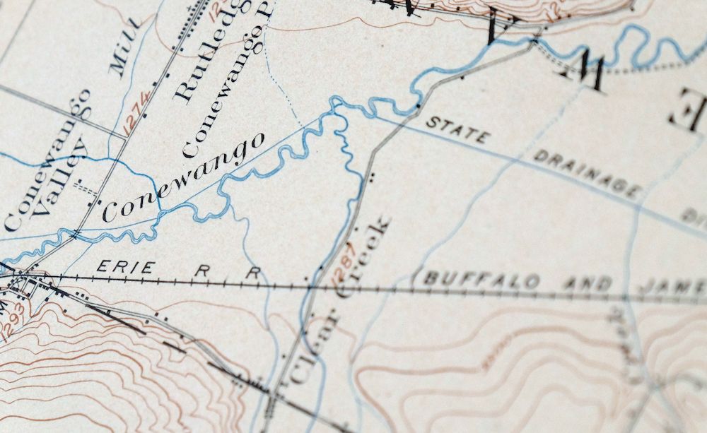
The Jamestown 15-minute map shows cities and towns, roads, railroads, rivers, creeks, elevation contour lines, public land survey lines, county, state, and other administrative boundaries as they existed at the time of the survey in 1902 and 1903. All known structures (houses, businesses, churches, schools, barns, cabins, etc) are also shown, with exceptions in some urban areas, where only landmark buildings may be shown.
A VALUABLE HISTORICAL RECORD
Maps from the 15-minute series for the continental United States are no longer produced or printed by the USGS and original prints are becoming increasingly difficult to find. They are a valuable historical record for an area, as they contain many placenames and features that have been dropped from more recent maps.
Nearby maps
-
Kinzua Pennsylvania Westline USGS Topo Map 1967 Vintage
$42 Add to cart -
Clymer New York Mayville Sherman USGS Topo Map 1905 Antique
$73 Add to cart -
Westfield New York Mayville Ripley USGS 15-Min Topo Map 1903
$70 Add to cart -
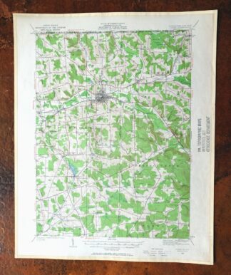
Corry Pennsylvania Spartansburg Elgin USGS Topo Map 1958
$41 Add to cart -
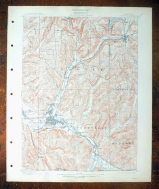
Olean New York Saint Bonaventure Allegany USGS Topo Map 1909
$69 Add to cart -

North East Pennsylvania Wattsburg USGS Topo Map 1962 Vintage
$43 Add to cart -
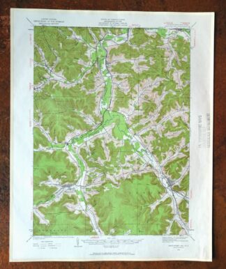
Smethport Pennsylvania Eldred USGS Topographic Map 1960
$42 Add to cart -

Union City Pennsylvania Waterford Elgin USGS Topo Map 1961
$43 Add to cart -
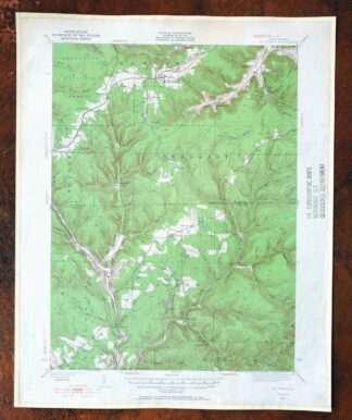
Mount Jewett Pennsylvania Wilcox USGS Topographic Map 1965
$40 Add to cart -
Townville Pennsylvania Cooperstown USGS 15-Min Topo Map 1964
$40 Add to cart -

Crosby Pennsylvania Norwich Rich Valley USGS Topo Map 1957
$35 Add to cart -
Cambridge Springs Pennsylvania Edinboro USGS Topo Map 1964
$38 Add to cart -

Coudersport Pennsylvania Oswayo USGS Topographic Map 1966
$40 Add to cart -
Depew New York Cheektowaga Alden USGS Topographic Map 1905
$63 Add to cart -
Portage New York Perry Warsaw USGS Topo Map 1912 Antique
$105 Add to cart -
Attica New York Alden Corfu USGS Topo Map 1905 Antique
$73 Add to cart -
Franklin Pennsylvania Sugarcreek Polk USGS Topo Map 1962
$36 Add to cart -
Canaseraga New York Alfred USGS 15-Min Topo Map 1916 Antique
$70 Add to cart -
Tonawanda New York Niagara Falls Shawnee USGS Topo Map 1905
$75 Add to cart -
Nunda New York Perry Mount Morris USGS Topo Map 1912 Antique
$80 Add to cart -
Batavia New York Le Roy Warsaw USGS Topo Map 1904 Antique
$70 Add to cart -

Conrad Pennsylvania Hammersley Wild Area USGS Topo Map 1958
$34 Add to cart -

Driftwood Pennsylvania Sterling Run USGS Topo Map 1956
$39 Add to cart -
Lockport New York South Lockport Akron USGS Topo Map 1906
$70 Add to cart