MAP DETAILS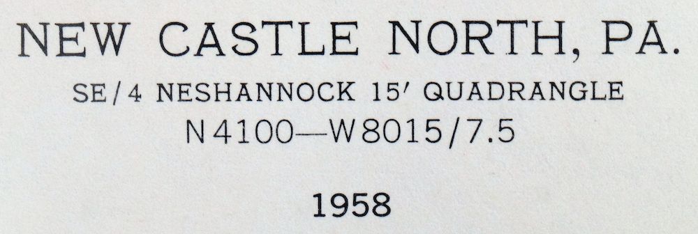 | |
|---|---|
| TITLE | New Castle North |
| STATE | Pennsylvania |
| SURVEYED | 1955 and 1958 Aerial and Field Survey |
| PRINT NOTES | Thick paper stock, includes woodland tint (green to indicate vegetated areas). A reddish tint is used to indicate urban areas where only landmark buildings are shown. |
| SCALE | 1:24000 |
| CONTOUR INTERVAL | 10 feet |
| SHEET DIMENSIONS | 22 x 27 inches |
| MAP DIMENSIONS | 17 1/8 x 22 3/4 inches |
| COVERAGE AREA | 7 x 9 miles |
| SHEET CONDITION For maps of this vintage, effort is made to note all visible flaws, no matter how minor. | |
| SHEET NOTES | lightly handled, never folded |
| MAP AREA | flawless map area |
| COLLARS | no wear or tears, no markings, no blemishes, hole punches in left collar |
| MAP COVERAGE Quadrangle extent overlaid on current basemap. | |
| PLACENAMES Depending on map series and survey date, all of the features listed below may not be shown on this map. This list contains features that currently exist or historically existed within the area covered by the map. The list can be used as a reference to determine if this map covers your area of interest. Placenames are listed alphabetically next to each feature type. | |
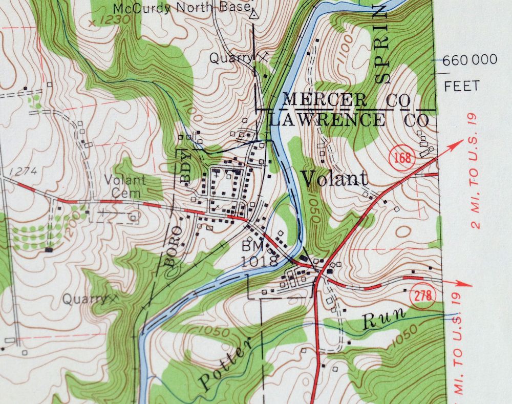
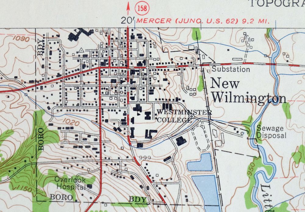
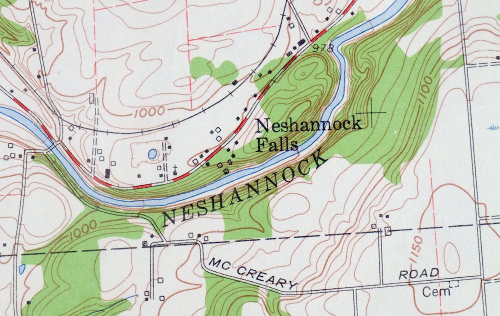
| NOTABLE PLACES | New Wilmington, Volant, and Neshannock Creek |
| CITIES AND TOWNS (CURRENT) | New Castle, New Castle Northwest, and Oakwood |
| COUNTIES COVERED | Lawrence and Mercer |
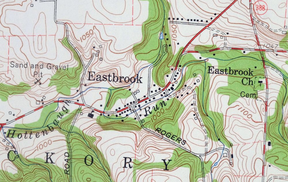
| RIVERS AND STREAMS | Hottenbaugh Run, Little Neshannock Creek, Potter Run, and Shenango River |
| Locations: Borlands Par 3 Golf Course, Fayette Chapel, New Castle Country Club, and Wilmington Junction. Administrative Boundaries: Township of Hickory, Township of Neshannock, Borough of New Wilmington, Township of Scott, Township of Springfield, Township of Union, Borough of Volant, Township of Washingtown, and Township of Wilmington. Mountains, Peaks, and Summits: Briar Hill. Parks: Lakewood Park, State Game Lands Number 178, and Sunton Park. Drainages: Hottenbaugh Run, Little Neshannock Creek, and Potter Run. Churches: Bethel Church, Calvary Church, Central Church, Dewey Avenue Church, Eastbrook Church, Graceland Chapel, Highland Heights Church, Maple Grove Church, Neshannock Church, North Street Church, Rich Hill Church, Saint Johns Church, Saint Pauls Church, and Shenango Church. Hospitals: Overlook Hospital. Dams: Lakewood Dam and Pa-22 Dam. Airports: Klockner Airport and McFarland Airport. Schools: Arthur McGill Elementary School, Clenmoore School, Croton Elementary School, George Washington Junior High School, Harry W Lockley Elementary School, Hickory Heights School, Highland School, Laurel Elementary School, Laurel Junior Senior High School, Neshannock Junior-Senior High School, Neshannock Memorial Elementary School, Neshannock School, New Castle Senior High School, Saint Marys School, Shepard School, Westminster College, Wilmington Junior-Senior High School, and Wilson School. Towers: WWNW-FM (New Wilmington). | |
| SHIPPING AND RETURNS | |
 Ships carefully rolled in a sturdy 2" x 24" mailing tube. Shipping and return details are in our terms. | |
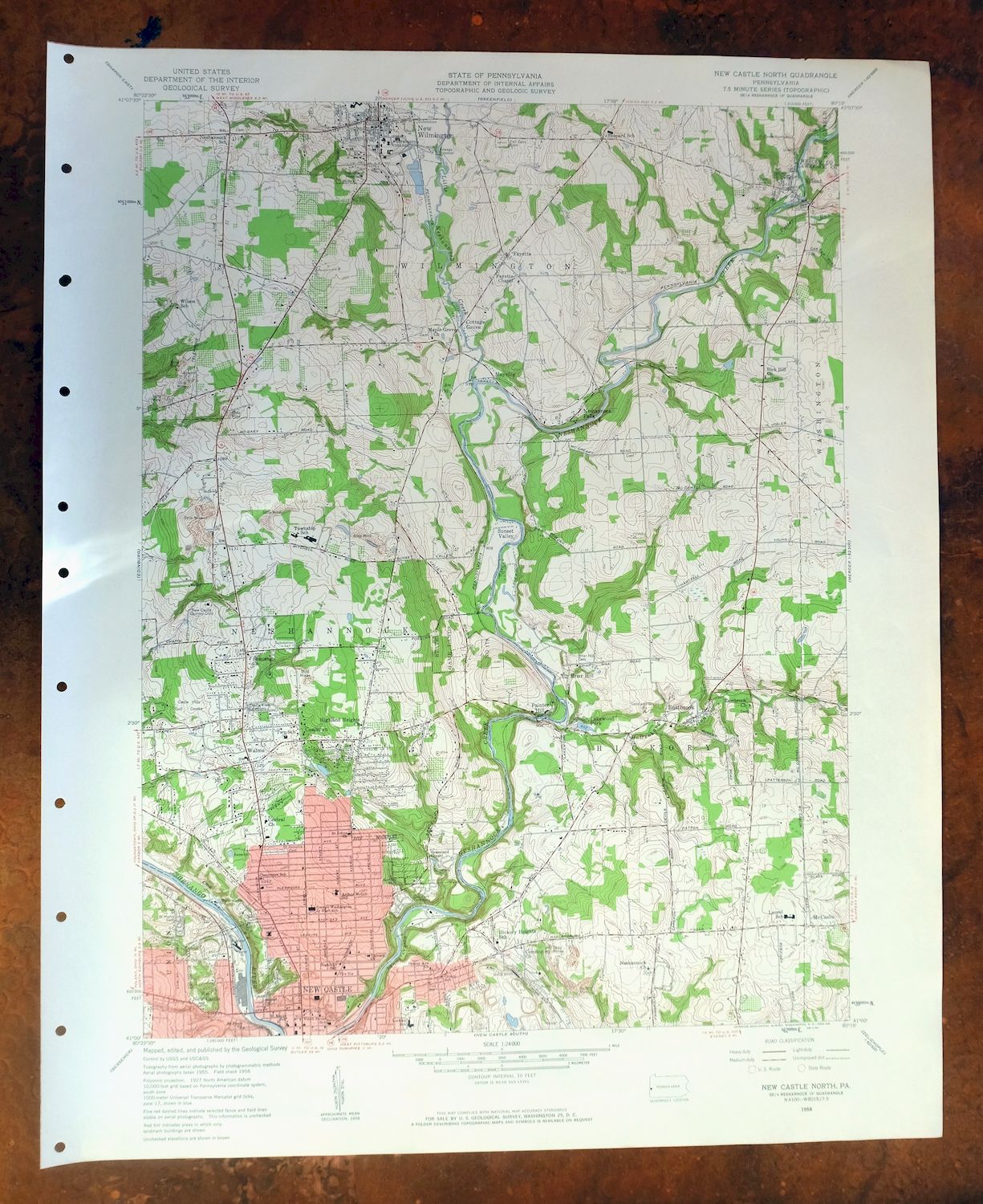
1958 USGS Topo Map: New Castle North, Volant, Pennsylvania
$31
- 46 miles north of Pittsburgh.
- 7.5-minute series, 1958 edition, printed in 1960.
- Very good condition, never folded.
In stock
This vintage sheet is a 1958 edition of the New Castle North Pennsylvania USGS topographic map. It is an original 66-year-old 1960 United States Geological Survey print in very good condition.
HOW THIS MAP CAN BE USED
In addition to making a fascinating conversation piece, this sheet would look great in a frame or on display, make a unique and prized gift for anyone interested in this area, be perfect as a reference for genealogy studies or general historical research, or fill that missing piece in your collection. Maps of this vintage are printed on durable stock and are well-suited for outdoor activities and recreation of all kinds, including hiking, backpacking, hunting, rafting and kayaking, backcountry skiing, geocaching, general exploration, treasure hunting, etc.
FEATURES SHOWN ON THE MAP
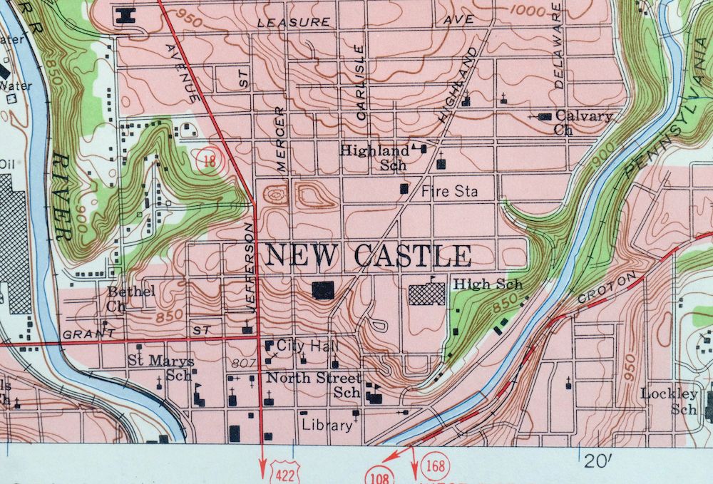
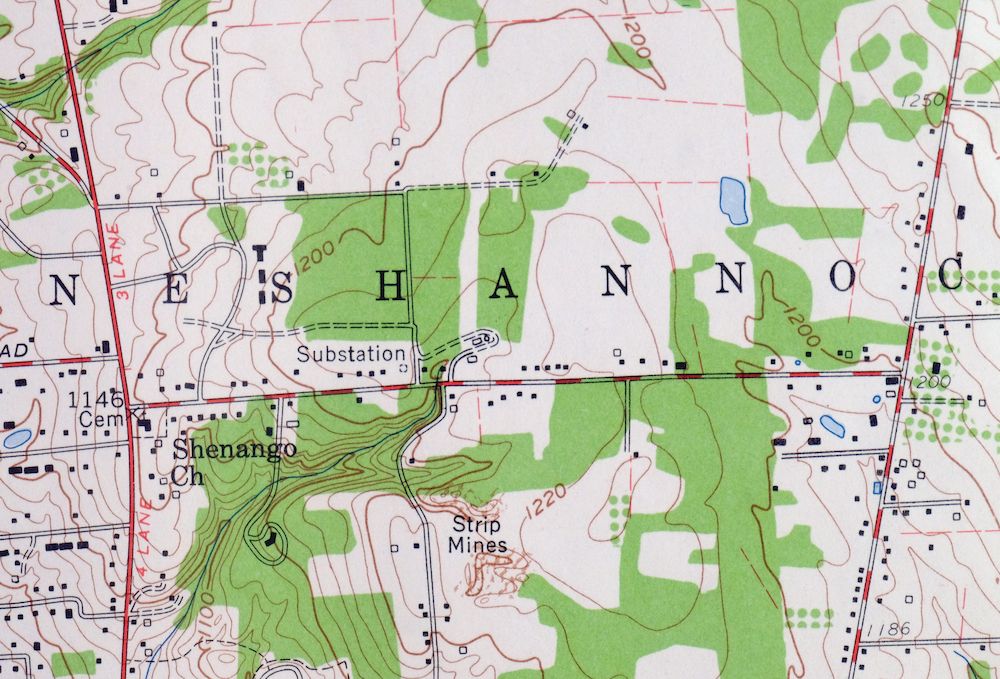
The New Castle North 7.5-minute map shows cities and towns, roads, paths, railroads, utilities and energy infrastructure, rivers, creeks, elevation contour lines, public land survey lines, county, state, and other administrative boundaries as they existed at the time of the survey in 1955 and 1958. A reddish tint is used on this sheet to indicate urban areas where only landmark buildings are depicted. Outside of those areas, all known structures (houses, businesses, churches, schools, barns, cabins, etc) are shown.
A VALUABLE HISTORICAL RECORD
This map is from the 7.5-minute series, the most detailed series that is widely available from the USGS. The 1958 New Castle North map is a valuable historical record for the area. It contains some placenames and features that have been dropped from more recent maps.
Nearby maps
-
1961 USGS Topo Map: Slippery Rock, Pennsylvania
$39 Add to cart -
1963 USGS Topo Map: Campbell, Youngstown, Ohio/Pennsylvania
$36 Add to cart -
1901 USGS Topo Map: Beaver, Pennsylvania (1958 Print)
$37 Add to cart -
Franklin, Pennsylvania 1909 USGS Topo Map (1962 Print)
$31 Add to cart -
1953 USGS Topo Map: Curtisville, Saxonburg, Pennsylvania
$21 Add to cart -
New Kensington, Pennsylvania 1908 USGS Topo Map (1956 Print)
$30 Add to cart -
Townville, Pennsylvania 1927 USGS Topo Map (1964 Print)
$35 Add to cart -

Freeport, Pennsylvania 1907 USGS Topo Map (1956 Print)
$31 Add to cart -
1904 USGS Topo Map: Burgettstown, Pennsylvania (1958 Print)
$40 Add to cart -

Carnegie, Pennsylvania 1904 USGS Topo Map (1954 Print)
$45 Add to cart -
Cambridge Springs, PA 1923 USGS Topo Map (1964 Print)
$33 Add to cart -

Union City, PA/NY 1929 USGS Topo Map (1961 Print)
$38 Add to cart -
Conneaut, Ohio/Pennsylvania 1960 USGS Topo Map
$44 Add to cart -

Madison, Ohio 1960 USGS Topo Map: Redbird (1985 Print)
$35 Add to cart -
Corry, Pennsylvania/New York 1929 USGS Topo Map (1958 Print)
$27 Add to cart -

1931 USGS Topo Map: Brownsville, Pennsylvania (1954 Print)
$33 Add to cart -
Punxsutawney, Pennsylvania 1939 USGS Topo Map (1957 Print)
$27 Add to cart -

North East, PA/NY 1913 USGS Topo Map (1962 Print)
$38 Add to cart -
Clymer, Mayville, New York 1905 USGS Topo Map
$70 Add to cart -
Kinzua, PA/NY 1949 USGS Topo Map (1967 Print)
$38 Add to cart -
Jamestown, Falconer, New York 1905 USGS Topo Map
$71 Add to cart -
Mount Jewett, Pennsylvania 1935 USGS Topo Map (1965 Print)
$35 Add to cart -
Westfield, New York 1899 USGS Topo Map: Mayville
$60 Add to cart -

Crosby, Norwich, Pennsylvania 1948 USGS Topo Map
$30 Add to cart
