MAP DETAILS | |
|---|---|
| TITLE | Oso |
| STATE | Washington |
| SURVEYED | 1954 and 1956 Aerial and Field Survey |
| PRINT NOTES | Includes woodland tint (green to indicate vegetated areas) |
| SCALE | 1:62500 |
| CONTOUR INTERVAL | 80 feet |
| SHEET DIMENSIONS | 18 x 22 inches |
| MAP DIMENSIONS | 11 5/8 x 17 1/2 inches |
| COVERAGE AREA | 11 x 17 miles |
| SHEET CONDITION For maps of this vintage, effort is made to note all visible flaws, no matter how minor. | |
| SHEET NOTES | lightly handled, never folded |
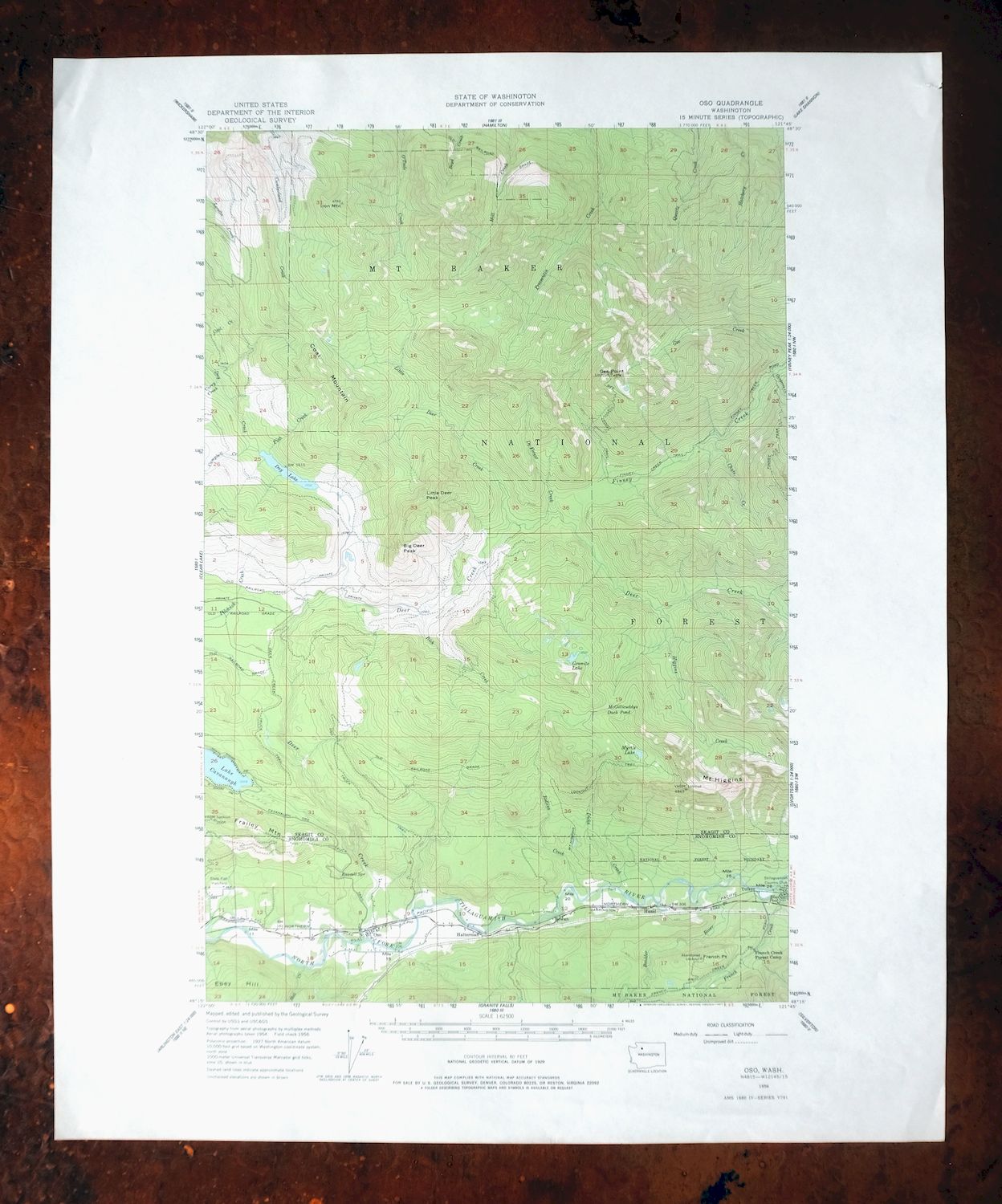
| MAP AREA | no wear, no markings, no blemishes |
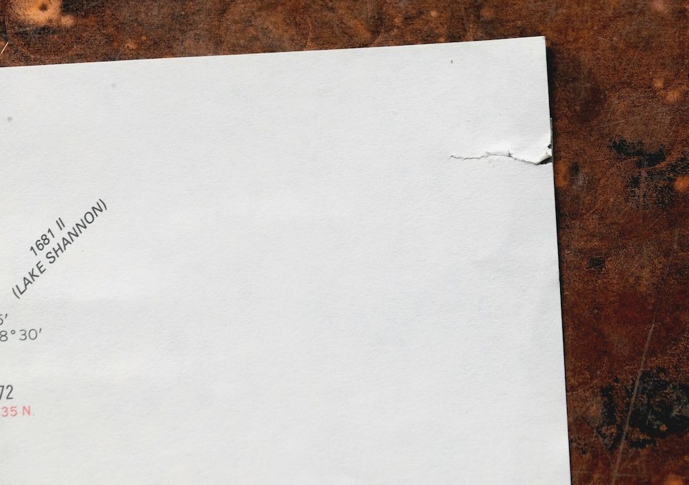
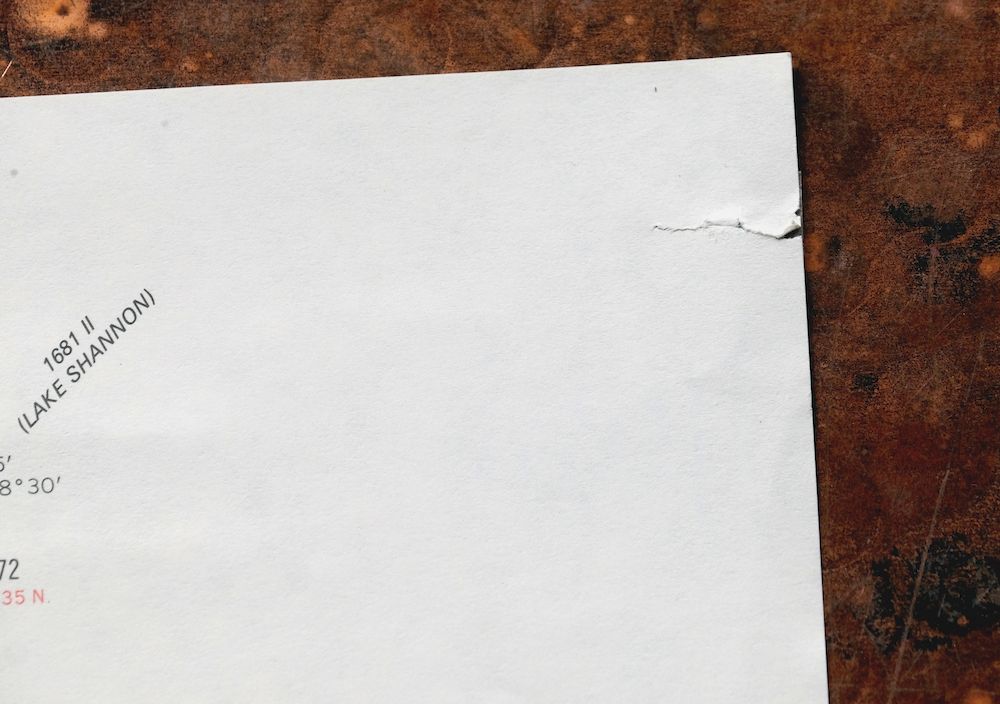
| COLLARS | no markings, no blemishes, minor repaired edge tear in upper right collar, minor handling dents in bottom collar |
 | |
| MAP COVERAGE Quadrangle extent overlaid on current basemap. | |
| PLACENAMES Depending on map series and survey date, all of the features listed below may not be shown on this map. This list contains features that currently exist or historically existed within the area covered by the map. The list can be used as a reference to determine if this map covers your area of interest. Placenames are listed alphabetically next to each feature type. | |
| NOTABLE PLACES | Hazel, Dry Lake, and Gee Point |
| CITIES AND TOWNS (CURRENT) | Lake Cavanaugh and Oso |
| COUNTIES COVERED | Skagit and Snohomish |
| FEDERAL LAND UNITS | Boulder River Wilderness, Mount Baker Helicopter Training Area, and Mount Baker National Forest |
| RIVERS AND STREAMS | Boulder River, Boyd Creek, Brooks Creek, Campbell Creek, Carry Creek, Chute Creek, Clendenen Creek, Coal Creek, Cumberland Creek, Day Creek, Deer Creek, DeForest Creek, Dicks Creek, Finney Creek, Fish Creek, French Creek, Fry Creek, Gee Creek, Hatchery Creek, Hell Creek, Higgins Creek, Little Deer Creek, Loretta Creek, Mill Creek, Montague Creek, North Fork Stillaguamish River, O'Toole Creek, Pilchuck Creek, Pressentin Creek, Quartz Creek, Rick Creek, and Rollins Creek |
| WATER BODIES | Blue Pool, Lake Cavanaugh, Granite Lake, Lake Cavanaugh, Larch Lake, Myrtle Lake, and Shelf Lake |
| Locations: French Creek Forest Camp, Gee Point Lookout, and Stillaguamish Country Club. Mountains, Peaks, and Summits: Big Deer Peak, Coal Mountain, Frailey Mountain, Gee Point, Mount Higgins, Iron Mountain, Little Deer Peak, and Skadulgwas Peak. Trails: Cavanaugh-Oso Truck Trail, Deer Creek Truck Trail, Finney Creek Trail, Finney Peak Trail, Gee Point Trail, and Oso Truck Trail. Drainages: Brooks Creek, Campbell Creek, Boulder River, Carry Creek, Chute Creek, Clendenen Creek, DeForest Creek, Deer Creek, Dicks Creek, Fish Creek, French Creek, Fry Creek, Hell Creek, Higgins Creek, Little Deer Creek, Montague Creek, Rick Creek, and Rollins Creek. Capes: French Point. Forests: Mount Baker National Forest. Lakes and Ponds: Blue Pool, County Line Pond, Day Lake, French Creek Pond, Gee Point Lake, Granite Lake, Granite Lake Potholes, Hawkins Lake, Larch Lake, Little Gee Lake, McGillicuddys Duck Pond, Myrtle Lake, and Shelf Lake. Springs: Russell Spring. | |
| SHIPPING AND RETURNS | |
 Ships carefully rolled in a sturdy 2" x 24" mailing tube. Shipping and return details are in our terms. | |
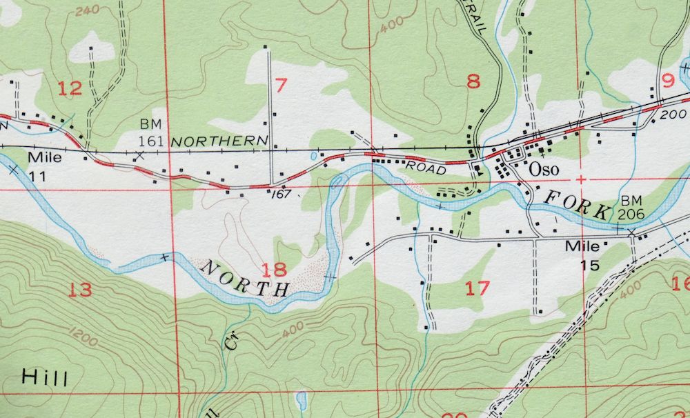
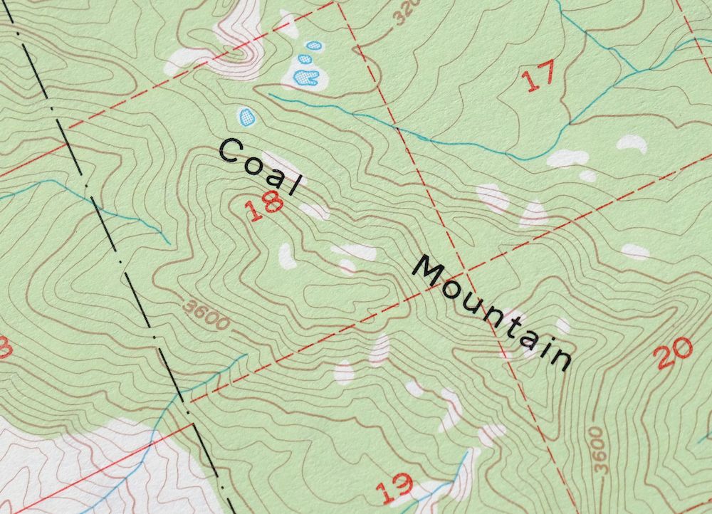
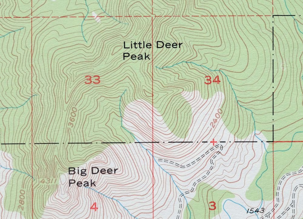
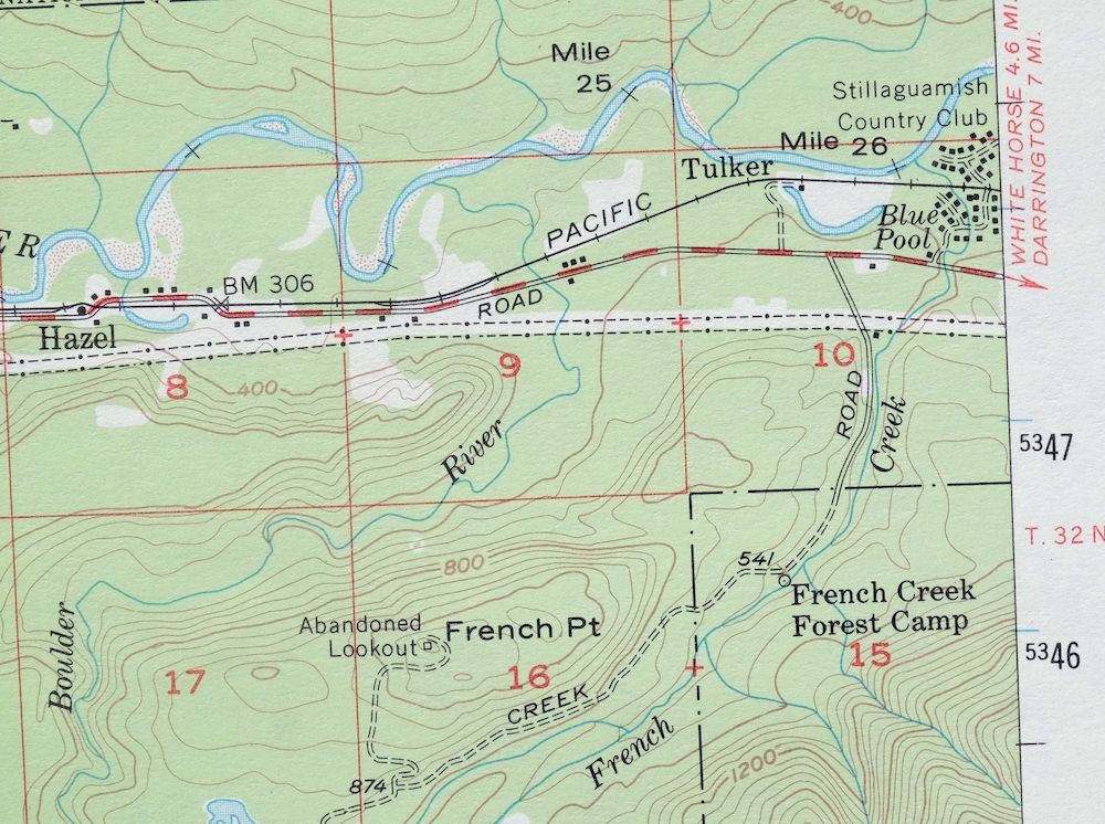
Oso, Washington 1956 USGS Topo Map: Hazel (1977 Print)
$37
- 55 miles north of Seattle.
- 15-minute series, 1956 edition, printed in 1977.
- Very good condition, never folded.
In stock
This vintage sheet is a 1956 edition of the Oso Washington USGS topographic map. It is an original 49-year-old 1977 United States Geological Survey print in very good condition.
HOW THIS MAP CAN BE USED
In addition to making a fascinating conversation piece, this sheet would look great in a frame or on display, make a unique and prized gift for anyone interested in this area, be perfect as a reference for genealogy studies or general historical research, or fill that missing piece in your collection. Maps of this vintage are printed on durable stock and are well-suited for outdoor activities and recreation of all kinds, including hiking, backpacking, hunting, rafting and kayaking, backcountry skiing, geocaching, general exploration, treasure hunting, etc.
FEATURES SHOWN ON THE MAP
The Oso 15-minute map shows cities and towns, roads, railroads, utilities and energy infrastructure, rivers, creeks, elevation contour lines, public land survey lines, county, state, and other administrative boundaries as they existed at the time of the survey in 1954 and 1956. All known structures (houses, businesses, churches, schools, barns, cabins, etc) are also shown.
A VALUABLE HISTORICAL RECORD
Maps from the 15-minute series for the continental United States are no longer produced or printed by the USGS and original prints are becoming increasingly difficult to find. They are a valuable historical record for an area, as they contain many placenames and features that have been dropped from more recent maps.
Nearby maps
-
Clear Lake, Sedro Woolley, Washington 1956 USGS Topo Map
$40 Add to cart -
Wickersham, Washington 1951 USGS Topo Map (1974 Print)
$40 Add to cart -
Silverton, Washington 1957 USGS Topo Map (1975 Print)
$35 Add to cart -
1952 USGS Topo Map: Mount Baker, Glacier, Washington
$25 Add to cart -
Mount Shuksan, Washington 1953 USGS Topo Map
$31 Add to cart -
Glacier Peak, Washington 1950 USGS Topo Map
$37 Add to cart -
1908 USGS Topo Map: Sumas, Washington (1931 Print)
$52 Add to cart -

Lucerne, Washington 1949 USGS Topo Map: Lake Chelan
$32 Add to cart -
Glacier Peak, Washington 1901 USGS Topo Map (1946 Print)
$29 Add to cart -
1973 USGS Topo Map: Oak Harbor, Ault Field, Washington
$47 Add to cart -

Monroe, Washington 1953 USGS Topo Map (1976 Print)
$42 Add to cart -
1965 USGS Topo Map: Blanca Lake, Washington
$27 Add to cart -

Lopez Pass, Washington 1973 USGS Topo Map: Decatur Island
$45 Add to cart -
Edmonds East, Washington 1953 USGS Topo Map (1976 Print)
$37 Add to cart -

Edmonds West, Washington 1953 USGS Topo Map (1976 Print)
$46 Add to cart -

Lummi Bay, Washington 1952 USGS Topo Map (1974 Print)
$43 Add to cart -

Maple Valley, WA 1949 USGS Army COE Topo Map (1976 Print)
$37 Add to cart -

Renton, Washington 1949 USGS Army COE Topo Map (1976 Print)
$37 Add to cart -
1953 USGS Topo Map: Olalla, Washington (1975 Print)
$29 Add to cart -
1961 USGS Topo Map: Snoqualmie Pass, Washington
$17 Add to cart -
Mount Angeles, Washington 1944 USGS Topo Map (1964 Print)
$32 Add to cart -
The Brothers, Washington 1950 USGS Topo Map
$27 Add to cart -
Enumclaw, Washington 1956 USGS Topo Map (1976 Print)
$41 Add to cart -
1919 USGS War Department Topo Map: Port Crescent, WA (1941..
$33 Add to cart