MAP DETAILS | |
|---|---|
| TITLE | Eldorado Springs |
| STATE | Colorado |
| SURVEYED | 1942 Field Survey |
| GEOGRAPHER | F.L. Gregg |
| PRINT NOTES | Thick paper stock, includes woodland tint (green to indicate vegetated areas) |
| SCALE | 1:24000 |
| CONTOUR INTERVAL | 50 feet |
| SHEET DIMENSIONS | 22 x 27 inches |
| MAP DIMENSIONS | 17 1/2 x 22 3/4 inches |
| COVERAGE AREA | 7 x 9 miles |
| SHEET CONDITION For maps of this vintage, effort is made to note all visible flaws, no matter how minor. | |
| SHEET NOTES | lightly handled, has foldlines |
| MAP AREA | no markings, no blemishes, minor wear along some foldlines |
| COLLARS | no wear or tears, no blemishes, pencilled title notation in lower right collar corner |
| MAP COVERAGE Quadrangle extent overlaid on current basemap. | |
| PLACENAMES Depending on map series and survey date, all of the features listed below may not be shown on this map. This list contains features that currently exist or historically existed within the area covered by the map. The list can be used as a reference to determine if this map covers your area of interest. Placenames are listed alphabetically next to each feature type. | |
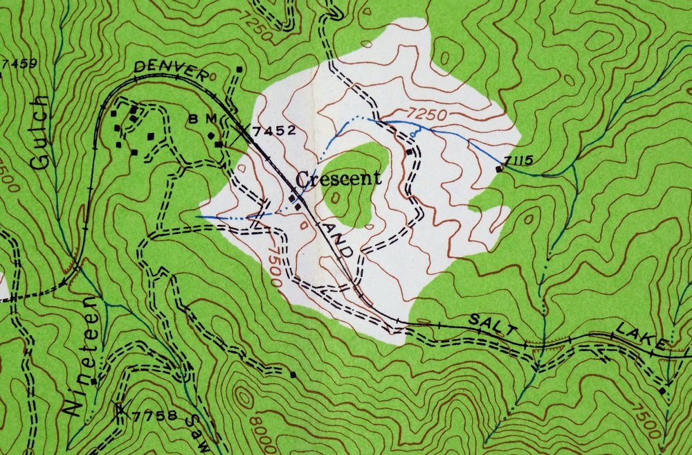
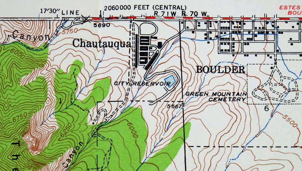
| NOTABLE PLACES | Boulder, Gross Reservoir, Coal Creek, and Crescent |
| CITIES AND TOWNS (CURRENT) | Arvada and Eldorado Springs |
| COUNTIES COVERED | Jefferson |
| FEDERAL LAND UNITS | Roosevelt National Forest |
| RIVERS AND STREAMS | Bear Canyon Creek, South Beaver Creek, and South Boulder Creek |
| WATER BODIES | Viele Lake |
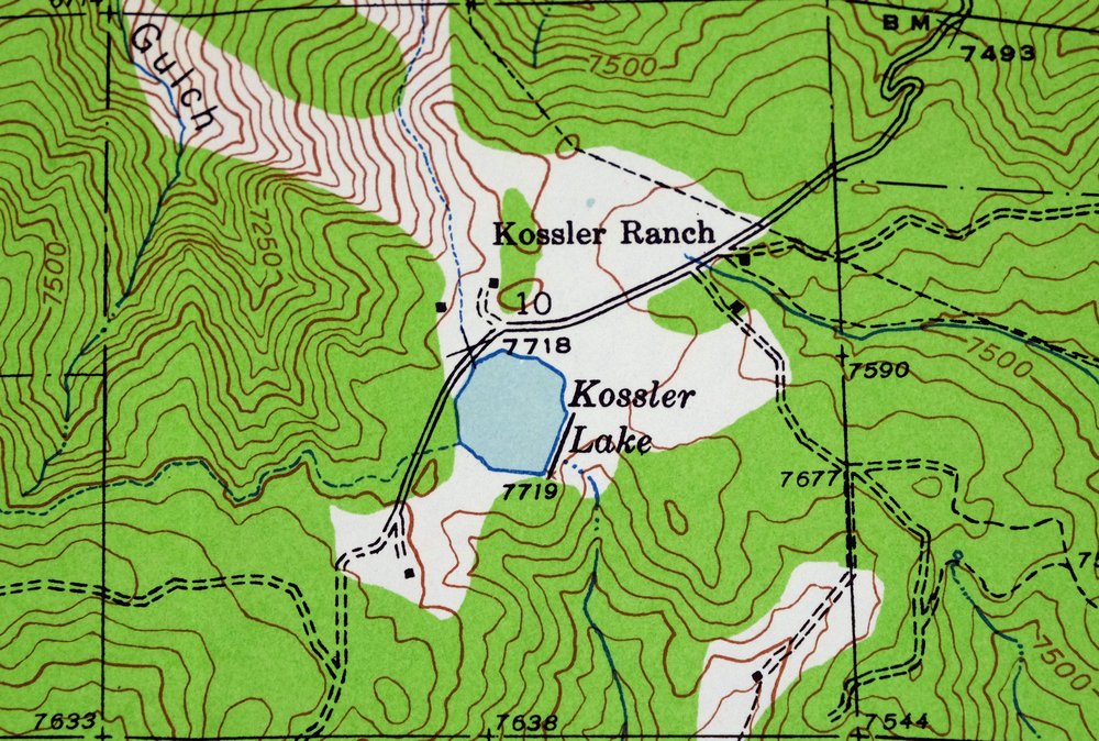
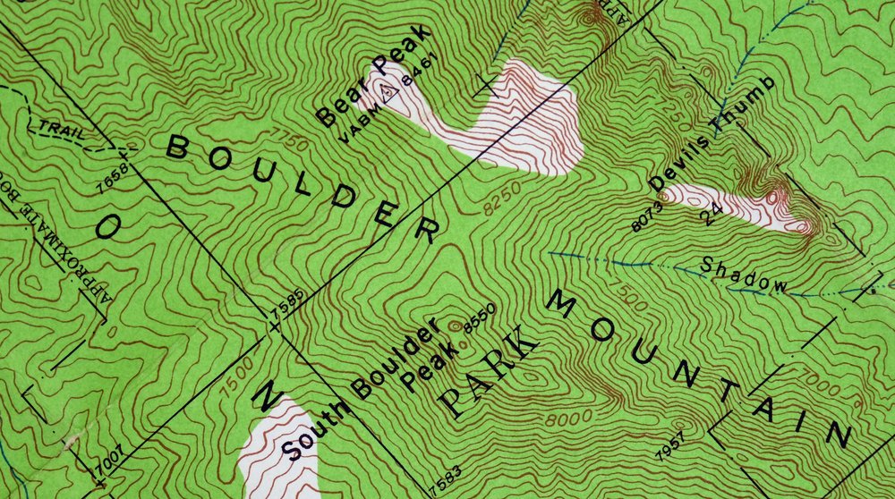
| Populated Place: Copperdale, Crescent, Crescent Village, Eldorado Springs, Lake Shore Park, Magnolia, Miramonte, Plainview, and Twin Spruce. Locations: Base-Mar Shopping Center and Williams Village Shopping Center. Mountains, Peaks, and Summits: Bear Peak, Blue Mountain, Boulder Mountain, Coal Creek Peak, Crescent Mountain, Eldorado Mountain, Green Mountain, Langridge Dyke, Scar Top Mountain, Shanahan Hill, Shirttail Peak, South Boulder Peak, Table Mountain, The Flatirons, and Tram Hill. Valleys and Canyons: Advent Gulch, Bear Canyon, Bluebell Canyon, Bull Gulch, Chamberlain Gulch, Coal Creek Canyon, Columbine Gulch, Doudy Draw, Fern Canyon, Gregory Canyon, Harmon Gulch, Johnson Gulch, Kentucky Gulch, Long Canyon, Martin Gulch, Meyers Gulch, Nineteen Gulch, North Draw, Panther Canyon, Rattlesnake Gulch, Retallack Gulch, Sawmill Gulch, Shadow Canyon, Skunk Canyon, South Draw, Tom Davis Gulch, and Woods Gulch. Parks: Boulder Mountain Park, Chautauqua Park, Eldorado Canyon State Park, and Walker Ranch Park. Trails: Bear Peak Trail, Green Mountain Trail, Mesa Trail, and Saddle Rock Trail. Drainages: Beaver Creek, South Beaver Creek, and Spring Brook. Mines: Audophone Mine, Beggar Mine, Ben C Lowell Mine, Black Bear Mine, Boodle Mine, Cash Mine, Clara May Mine, Copeland Group Mine, Copeland Mines, Crownpoint Mine, Dunraven Mine, Eclipse Mine, Eldorado Mine, Fortune Mine, Golden Eagle Mine, Golden Glow Mine, Graphic Mine, Hereafter Mine, Humbug Mine, Interocean Mine, Iron Dike Mine, Kansas City Mine, Keystone Mine, Lady Franklin Mine, Little Maud Mine, Little Pittsburg Mine, Magner Mine, Mary V Mine, May Blossom Number Two Mine, McCann Clay Mine, Missoula Mine, Mountain Lion Mine, New Year Mine, North Star Mine, Ophir Mine, Pickwick Mine, Poorman Mine, Rusty Dime Mine, Sac and Fox Mine, Senator Hill Mine, Silent Friend Mine, Table Mesa Pit, Telephone Mine, Tungsten Group Mine, and William E Walker Mine. Churches: Chapel in the Hills and First Baptist Church. Post Office: Eldorado Springs Post Office. Buildings: Coal Creek Canyon Fire Rescue Station 1, Rocky Mountain Fire District Station 4, and Rocky Mountain Fire District Station 6. Dams: Gross Dam and Kossler Dam. Gaps: Rainbow Cut. Canals: South Boulder Foothills Ditch. Natural Arches: Royal Arch. Census: Eldorado Springs Census Designated Place. Schools: Coal Creek Canyon K - 8 School, Halcyon School, Bear Creek Elementary School, Community Montessori School, and Mesa Elementary School. Reservoirs and Tanks: Gross Reservoir, Kohler Reservoir, and Kossler Lake. Flats: Dugan Park. Towers: KBCO-FM (Boulder) and KQKS-FM (Longmont). Pillars: Castle Rock, Devils Thumb, Echo Rock, and Saddle Rock. Springs: Eldorado Springs. Cemetery: Green Mountain Cemetery and Eldorado Springs Cemetery. | |
| SHIPPING AND RETURNS | |
 Ships carefully rolled in a sturdy 2" x 24" mailing tube. Shipping and return details are in our terms. | |
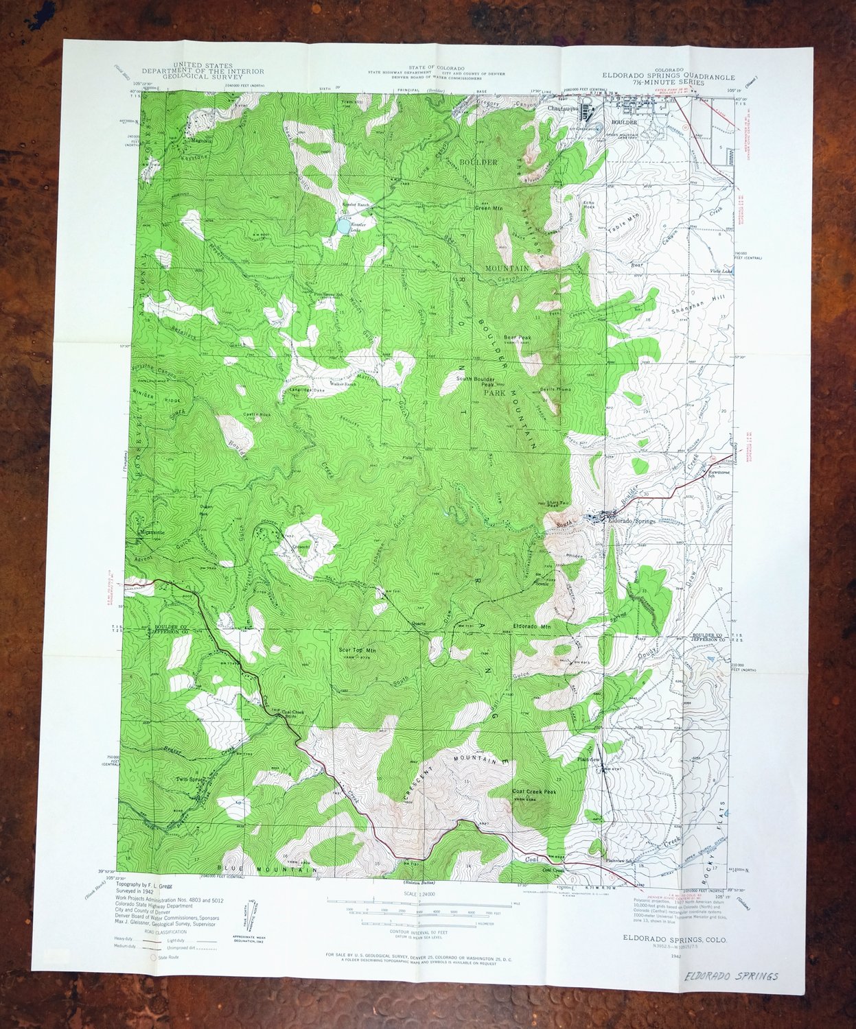


1942 USGS Topo Map: Eldorado Springs, Colorado (1961 Print)
$36
Surveyed before the construction of Gross Dam on South Boulder Creek.
- Vicinity of Arvada, 22 miles northwest of Denver.
- 7.5-minute series, 1942 edition, printed in 1961.
- Good condition.
In stock
This vintage sheet is a 1942 edition of the Eldorado Springs Colorado USGS topographic map. It is an original 65-year-old 1961 United States Geological Survey print in good condition.
HOW THIS MAP CAN BE USED
In addition to making a fascinating conversation piece, this sheet would look great in a frame or on display, make a unique and prized gift for anyone interested in this area, be perfect as a reference for genealogy studies or general historical research, or fill that missing piece in your collection. Maps of this vintage are printed on durable stock and are well-suited for outdoor activities and recreation of all kinds, including hiking, backpacking, hunting, rafting and kayaking, backcountry skiing, geocaching, general exploration, treasure hunting, etc.
FEATURES SHOWN ON THE MAP
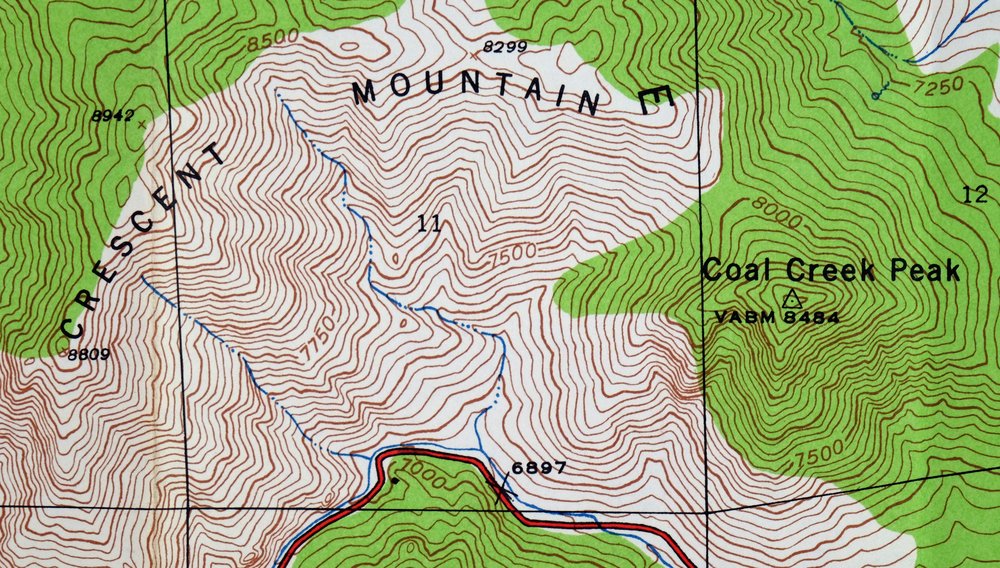
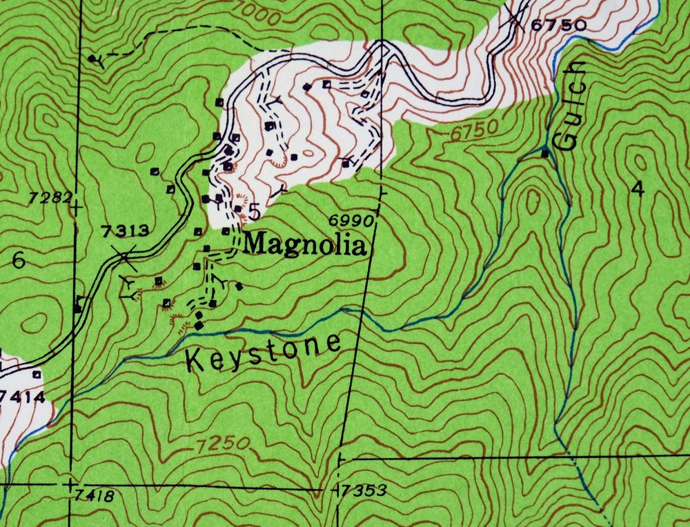
The Eldorado Springs 7.5-minute map shows cities and towns, roads, paths, railroads, utilities and energy infrastructure, rivers, creeks, elevation contour lines, public land survey lines, county, state, and other administrative boundaries as they existed at the time of the survey in 1942. All known structures (houses, businesses, churches, schools, barns, cabins, etc) are also shown.
A VALUABLE HISTORICAL RECORD
This map is from the 7.5-minute series, the most detailed series that is widely available from the USGS. The 1942 Eldorado Springs map is a valuable historical record for the area. It contains some placenames and features that have been dropped from more recent maps.
Nearby maps
-
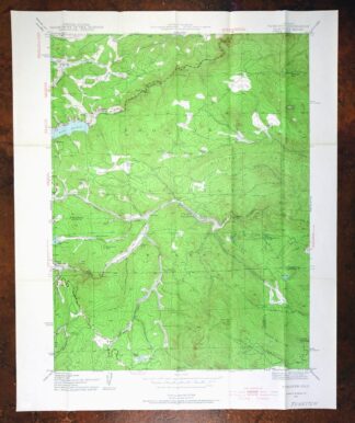
1942 USGS Topo Map: Tungsten, Barker Reservoir, Colorado
$39 Add to cart -
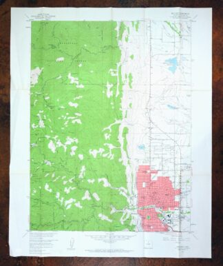
Boulder, Glendale, Colorado 1957 USGS Topo Map
$38 Add to cart -

Lafayette, Broomfield, Colorado 1965 USGS Topo Map
$37 Add to cart -
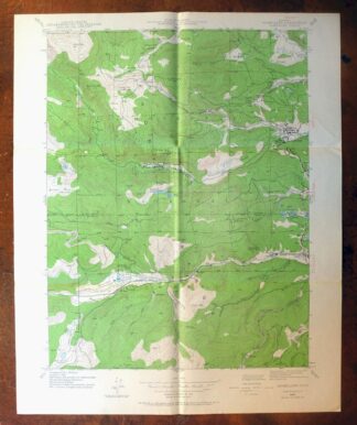
1942 USGS Topo Map: Nederland, Eldora, Colorado (1964 Print)
$34 Add to cart -
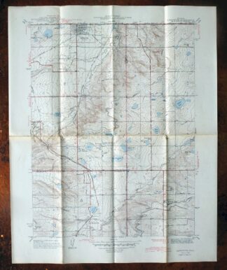
Lafayette, Colorado 1944 USGS Topo Map: Broomfield
$36 Add to cart -
Lafayette, Broomfield, Colorado 1956 USGS Topo Map
$29 Add to cart -
1942 USGS Topo Map: Central City, Colorado (1964 Print)
$31 Add to cart -
Lyons, Altona, Colorado 1957 USGS Topo Map
$33 Add to cart -

Eastlake, Colorado 1944 USGS Topo Map: Thornton
$47 Add to cart -
Eastlake, Thornton, Colorado 1965 USGS Topo Map (Northglenn)
$29 Add to cart -

Fort Logan, Colorado 1941 USGS Topo Map: Denver
$33 Add to cart -
Fort Logan, Denver, Colorado 1965 USGS Topo Map (Lakewood)
$35 Add to cart -
1957 USGS Topo Map: Georgetown, Silver Plume, Colorado
$32 Add to cart -
Long Branch, Colorado 1948 USGS Topo Map
$35 Add to cart -
Fitzsimons, Aurora, Colorado 1948 USGS Topo Map
$35 Add to cart -
Mchenrys Peak, Colorado 1957 USGS Topo Map
$33 Add to cart -
Highland Ranch, Colorado 1949 USGS Topo Map: Lone Tree
$34 Add to cart -

Box Elder School, Denver, Colorado 1942 USGS Topo Map
$33 Add to cart -
Georgetown, Colorado 1957 USGS Topo Map (1980 Print)
$40 Add to cart -
Platte Canyon, Colorado 1945 USGS Topo Map: Foxton
$45 Add to cart -
Bailey, Colorado 1945 USGS Topo Map (1973 Print)
$32 Add to cart -

Estes Park, Colorado 1961 USGS Topo Map
$31 Add to cart -
Kassler, Colorado 1945 USGS Topo Map: Louviers
$44 Add to cart -
Shawnee, Colorado 1945 USGS Topo Map: Singleton (1972 Print)
$29 Add to cart