MAP DETAILS | |
|---|---|
| TITLE | Fowler |
| STATE | Arizona |
| LOCATION | Vicinity of Phoenix |
| SERIES | 7.5-minute |
| SURVEYED | 1951 and 1952 Aerial and Field Survey |
| EDITION | 1956 |
| PRINTED | 1956 |
| PRINT NOTES | Thick paper stock, includes woodland tint (green to indicate vegetated areas) |
| SCALE | 1:25000 |
| CONTOUR INTERVAL | 10 feet |
| SHEET DIMENSIONS | 22 x 28 3/4 inches |
| MAP DIMENSIONS | 18 1/4 x 21 7/8 inches |
| COVERAGE AREA | 7 x 9 miles |
| SOURCE | From the vintage map collection of Art Christiansen, Tempe, Arizona |
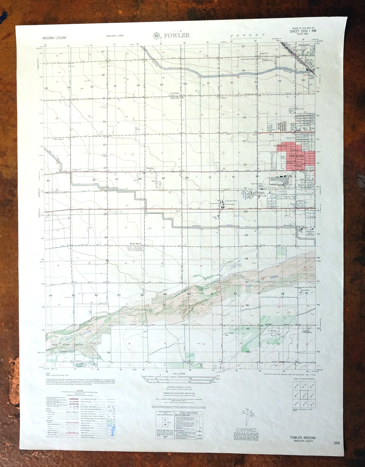
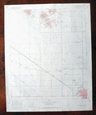
| MAP NOTES | A fascinating historical snapshot of the West Valley from around 87th Avenue eastward to 31st Avenue, surveyed when over 90 percent of the area was undeveloped desert and before the modern freeway system. |
| SHEET CONDITION For maps of this vintage, effort is made to note all visible flaws, no matter how minor. | |
| OVERALL CONDITION | Very Good |
| SHEET NOTES | moderately handled, never folded |
| MAP AREA | no markings, no blemishes |
| COLLARS | very minor wear or tears, no markings, no blemishes, staple holes in middle top collar |
| MAP COVERAGE Quadrangle extent overlaid on current basemap. | |
| PLACENAMES Depending on map series and survey date, all of the features listed below may not be shown on this map. This list contains features that currently exist or historically existed within the area covered by the map. The list can be used as a reference to determine if this map covers your area of interest. Placenames are listed alphabetically next to each feature type. | |
| NOTABLE PLACES | Phoenix, Alhambra, and Estrella Village |
| CITIES AND TOWNS (CURRENT) | Tolleson |
| COUNTIES COVERED | Maricopa |
| FEDERAL LAND UNITS | Gila River Indian Reservation |
| RIVERS AND STREAMS | Salt River |
| Locations: Arrowhead Plaza Shopping Center, Cartwright Plaza Shopping Center, Fowler Substation, Hayden Plaza West Shopping Center, Maryvale Golf Course, Maryvale Mall, Maryvale Terrace Shopping Center, McDowell Square Shopping Center, Phoenix Steam Plant, Plaza Seventyfive Shopping Center, Southern Substation, Star Plaza Shopping Center, Tengs Isaac Shopping Center, Tolleson Substation, Westdale Shopping Center, Western Palms Shopping Center, and Westridge Mall. Parks: Alegre Park, Alvord Park, Eloso Park, Falcon Park, Manzanita Park, Marivue Park, Maryvale Play Lot, Orme Park, Playa Margarita Park, Smith Park, Starlight Park, and Sueno Park. Hospitals: Indian Convalescent Home and Maricopa County General Hospital. Buildings: Fowler Railroad Station, Laveen Childrens Home, Maricopa County Highway Department, Maricopa County Jail Annex, and Maricopa County Juvenile Detention Home. Canals: Canal Alamo, Canal Baseline, Canal Five, Canal Laveen South Branch, Canal Laveen, Canal Rio Lower Branch, Canal Six, and Canal Three. Airports: Farm Aero Airport, Gila Port Airport, Paradise Air Park, Phoenix Area Heliport, Phoenix District Airport, S R P Tolleson Center Heliport, and Westridge Mall Heliport. Schools: Alta E Butler School, Carl Hayden School, Cartwright School, Charles W Harris School, Coe School, Desert Horizon Elementary School, Downs School, Estrella Junior High School, Fowler Elementary School, Frank Borman Junior High School, Glen L Downs School, Heather Brae School, Isaac School, Joseph Zito School, Justine Spitalny School, La Otra School, Madrid School, Maryvale High School, Maurice C Cash School, Mitchell School, Murphy School Number Two, P T Coe School, Palm Lane School, Peralta School, Riverside School, Saint Vincent de Paul School, Starlight Park School, Sunset School, Trevor Brown High School, and Valley of the Sun School. Towers: KARZ-AM (Phoenix), KHEP-AM (Phoenix), and KXEG-AM (Tolleson). | |
| SHIPPING AND RETURNS | |
 This map sheet will be carefully rolled in a sturdy tube and shipped via the US Postal Service. If you find that the sheet you receive is not as described in the listing, you may ship it back to us for a refund of the purchase price. | |
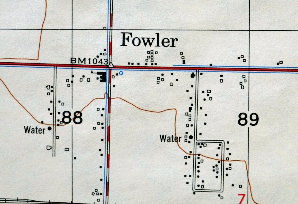
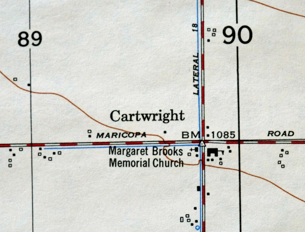
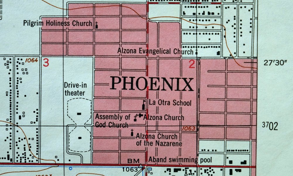
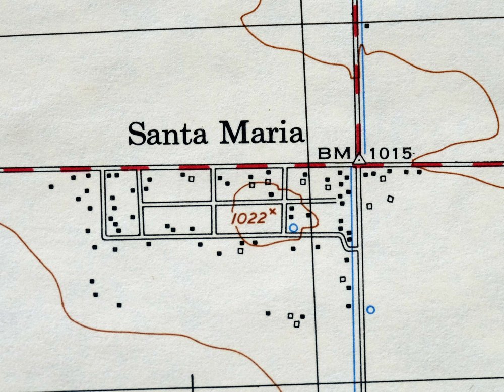
Fowler Arizona Phoenix Tolleson USGS Topo Map 1956 Vintage
$57
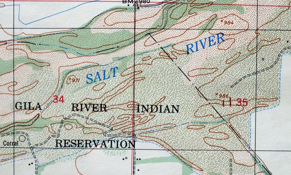
A fascinating historical snapshot of the West Valley from around 87th Avenue eastward to 31st Avenue, surveyed when over 90 percent of the area was undeveloped desert and before the modern freeway system. This is an Army Map Service 7.5-minute topographic sheet of the Fowler quadrangle, a 1956 edition printed the same year at a scale of 1:25,000, with a green woodland tint marking vegetated ground. It covers a stretch of southwest Maricopa County around Tolleson and the western edge of Phoenix, reaching south toward the Gila River Indian Reservation.
In stock
This vintage sheet is a 1956 edition of the Fowler Arizona AMS topographic map. It is an original 70-year-old Army Map Service print in very good condition.
HOW THIS MAP CAN BE USED
In addition to making a fascinating conversation piece, this sheet would look great in a frame or on display, make a unique and prized gift for anyone interested in this area, be perfect as a reference for genealogy studies or general historical research, or fill that missing piece in your collection. Maps of this vintage are printed on durable stock and are well-suited for outdoor activities and recreation of all kinds, including hiking, backpacking, hunting, rafting and kayaking, backcountry skiing, geocaching, general exploration, treasure hunting, etc.
FEATURES SHOWN ON THE MAP
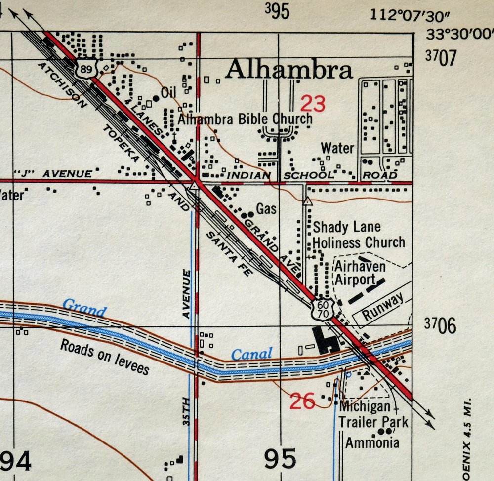
The Fowler 7.5-minute map shows cities and towns, roads, paths, railroads, utilities and energy infrastructure, rivers, creeks, elevation contour lines, public land survey lines, county, state, and other administrative boundaries as they existed at the time of the survey in 1951 and 1952. A tint is used on this sheet to indicate urban areas where only landmark buildings are depicted. Outside of those areas, all known structures (houses, businesses, churches, schools, barns, cabins, etc) are shown.
A VALUABLE HISTORICAL RECORD
This map is from the 7.5-minute series, the most detailed series that is widely available from the AMS. The 1956 Fowler map is a valuable historical record for the area. It contains some placenames and features that have been dropped from more recent maps.
Nearby maps
-
Fowler Arizona Phoenix Tolleson USGS Topo Map 1957 Vintage
$41 Add to cart -

Phoenix Arizona USGS 7.5 Minute Topographic Map 1956 Vintage
$58 Add to cart -
1975 USGS Topo Map: Phoenix, Midtown, Arizona (Sky Harbor)
$52 Add to cart -
Glendale Arizona Phoenix Peoria USGS Topo Map 1975 Vintage
$37 Add to cart -
Tempe Arizona Phoenix Mesa USGS Topographic Map 1975 Vintage
$65 Add to cart -
Guadalupe Arizona Phoenix Mesa USGS Topo Map 1957 Vintage
$49 Add to cart -

Mesa Arizona Gilbert Salt River USGS Topo Map 1965 Vintage
$75 Add to cart -
1975 USGS Topo Map: Mesa, Gilbert, Arizona (Vintage Print)
$52 Add to cart -
Maricopa Arizona Ak-Chin Rancho El Dorado USGS Topo Map 1968
$45 Add to cart -

Mcdowell Peak Arizona Scottsdale USGS Topo Map 1967 Vintage
$37 Add to cart -
1960 Phoenix Arizona USGS Topo Map: Tolleson
$50 Add to cart -

Avondale Arizona Phoenix Goodyear USGS Topo Map 1965 Vintage
$55 Add to cart -

Mesa Arizona Phoenix Scottsdale USGS Topo Map 1960 Vintage
$75 Add to cart -
Maricopa Arizona Ak-Chin Village USGS Topo Map 1967 Vintage
$46 Add to cart -

Camelback Arizona Tonto NF Phoenix USGS 15-Min Topo Map 1948
$55 Add to cart -

Mobile Arizona Goodyear USGS 15-Min Topo Map 1951 Vintage
$37 Add to cart -
Buckeye Arizona Palo Verde USGS 15-Min Topo Map 1963 Vintage
$65 Add to cart -

Gila Butte Arizona Chandler Santan USGS Topographic Map 1966
$54 Add to cart -

Desert Well Arizona Apache Junction Mesa USGS Topo Map 1906
$65 Add to cart -

Cave Creek Arizona Phoenix Mesa USGS Topo Map 1963 Vintage
$44 Add to cart -
Apache Junction Arizona Tonto NF Mesa USGS Topo Map 1975
$42 Add to cart -

Sacaton Arizona Gilbert Coolidge USGS Topographic Map 1948
$45 Add to cart -
Sacaton Arizona Gilbert Coolidge USGS Topographic Map 1907
$95 Add to cart -
Casa Grande West Arizona USGS 7.5-Min Topo Map 1967 Vintage
$32 Add to cart
