MAP DETAILS | |
|---|---|
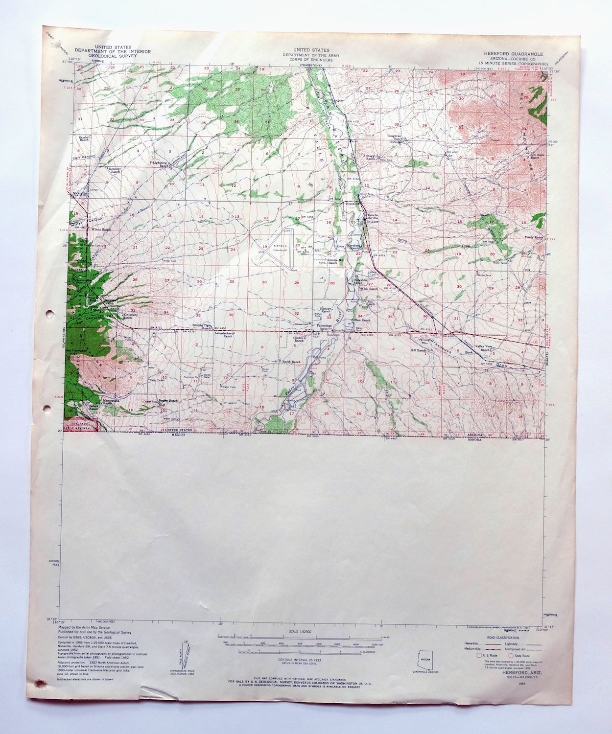
| TITLE | Hereford |
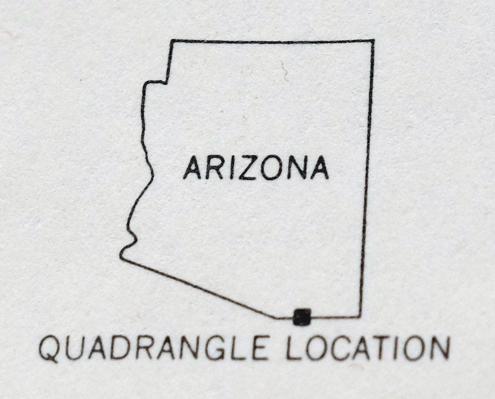
| STATE | Arizona |
| LOCATION | Vicinity of Sierra Vista |
| SERIES | 15-minute |
| SURVEYED | 1951 and 1952 Aerial and Field Survey |
| EDITION | 1952 |
| PRINTED | 1959 |
| PRINT NOTES | Thick paper stock, includes woodland tint (green to indicate vegetated areas) |
| SCALE | 1:62500 |
| CONTOUR INTERVAL | 25 feet |
| SHEET DIMENSIONS | 17 x 21 inches |
| MAP DIMENSIONS | 15 x 17 1/2 inches |
| COVERAGE AREA | 15 x 17 miles |
| SHEET CONDITION For maps of this vintage, effort is made to note all visible flaws, no matter how minor. | |
| OVERALL CONDITION | Very Good |
| SHEET NOTES | very lightly handled, never folded |
| MAP AREA | flawless map area |
| COLLARS | no markings, no blemishes, minor repaired tear in bottom collar, hole punches in left collar |
| MAP COVERAGE Quadrangle extent overlaid on current basemap. | |
| PLACENAMES Depending on map series and survey date, all of the features listed below may not be shown on this map. This list contains features that currently exist or historically existed within the area covered by the map. The list can be used as a reference to determine if this map covers your area of interest. Placenames are listed alphabetically next to each feature type. | |
| NOTABLE PLACES | San Pedro River, Huachuca Mountains, Mule Mountains, Nicksville, and Miracle Valley |
| CITIES AND TOWNS (CURRENT) | Hereford, Sierra Vista, and Sierra Vista Southeast |
| COUNTIES COVERED | Cochise |
| FEDERAL LAND UNITS | Coronado National Forest, Coronado National Memorial, and San Pedro Riparian National Conservation Area |
| RIVERS AND STREAMS | Banning Creek and Spring Creek |
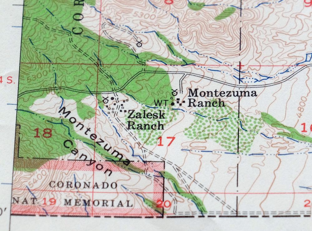
| Locations: Brown Ranch, Carr Canyon Forest Service Barn, Cline Ranch, Clinton Ranch, Coughran Ranch, Dinwiddie Ranch, Double Mill Ranch, Fairview Ranch, Flying H Ranch, Foudy Ranch, Fox Ranch, Hereford Dairy Ranch, Kennedy Ranch, Kinjockity Ranch, Leinedecker Ranch, Montezuma Ranch, Rambo Ranch, Rancho del Rio, Rim Rock Ranch, S-O Ranch, Smiling Tiger Ranch, Smith Ranch, Stagg Ranch, Ullrich Ranch, Valley View Ranch, Wiek Ranch, Wilcox Ranch, Wintergreen Mink Ranch, Y-Lightning Ranch, and Zalesk Ranch. Administrative Boundaries: San Rafael del Valle. Mountains, Peaks, and Summits: Bob Thompson Peak. Valleys and Canyons: Ash Canyon, Carr Canyon, Greenbush Draw, Hunter Canyon, Miller Canyon, Montezuma Canyon, Schoolhouse Draw, and Stump Canyon. Drainages: Banning Creek and Spring Creek. Mines: Baumkirchner Mine. Buildings: Stark Railroad Station. Crossings: Stark Overpass. Airports: Hereford Airport, Miracle Valley Airstrip, and Thompson International Aviation Airport. Schools: Palominas Elementary School. Wells: Stark Well. | |
| SHIPPING AND RETURNS | |
 This map sheet will be carefully rolled in a sturdy tube and shipped via the US Postal Service. If you find that the sheet you receive is not as described in the listing, you may ship it back to us for a refund of the purchase price. | |
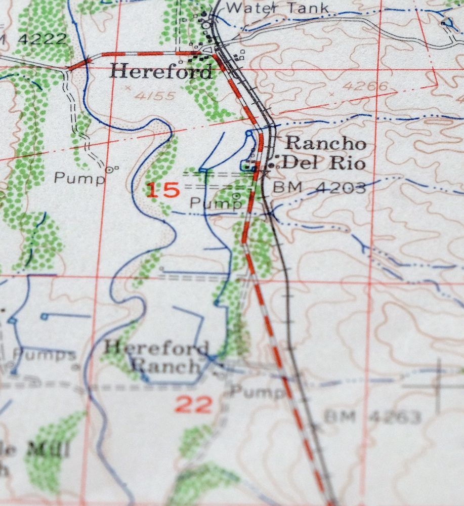
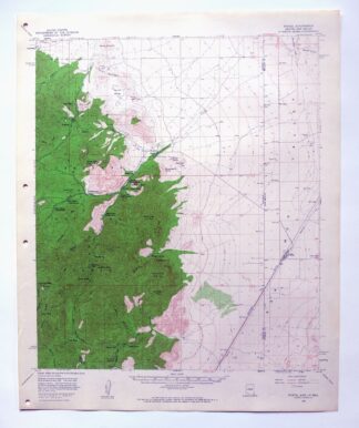
1959 Hereford Arizona USGS Topo Map: San Pedro River
$37
This 15-minute topographic sheet covers the Hereford quad in southeastern Arizona’s Cochise County, a 1952 edition printed in 1959 at 1:62,500 with woodland tint marking the vegetated slopes. The area spans the San Pedro River valley and the rugged Huachuca Mountains west of it, taking in Sierra Vista and the community of Hereford, with part of the Coronado National Forest in the higher country. The map captures Sierra Vista in its early years, before the rapid growth that followed Fort Huachuca. Never folded, with a flawless map area.
In stock
This vintage sheet is a 1952 edition of the Hereford Arizona USGS topographic map. It is an original 67-year-old 1959 United States Geological Survey print in very good condition.
HOW THIS MAP CAN BE USED
In addition to making a fascinating conversation piece, this sheet would look great in a frame or on display, make a unique and prized gift for anyone interested in this area, be perfect as a reference for genealogy studies or general historical research, or fill that missing piece in your collection. Maps of this vintage are printed on durable stock and are well-suited for outdoor activities and recreation of all kinds, including hiking, backpacking, hunting, rafting and kayaking, backcountry skiing, geocaching, general exploration, treasure hunting, etc.
FEATURES SHOWN ON THE MAP
The Hereford 15-minute map shows cities and towns, roads, railroads, utilities and energy infrastructure, rivers, creeks, elevation contour lines, public land survey lines, county, state, and other administrative boundaries as they existed at the time of the survey in 1951 and 1952. All known structures (houses, businesses, churches, schools, barns, cabins, etc) are also shown.
A VALUABLE HISTORICAL RECORD
Maps from the 15-minute series for the continental United States are no longer produced or printed by the USGS and original prints are becoming increasingly difficult to find. They are a valuable historical record for an area, as they contain many placenames and features that have been dropped from more recent maps.
Nearby maps
-
1967 USGS Army COE Topo Map: Hereford, Arizona
$41 Add to cart -

Bisbee Arizona Naco Mule Mountains USGS 15-Min Topo Map 1959
$47 Add to cart -

Sunnyside Arizona Sierra Vista USGS Topo Map 1965 Vintage
$45 Add to cart -
Bisbee Arizona Naco Mule Mountains USGS Topographic Map 1910
$67 Add to cart -
Tombstone Arizona Sierra Vista USGS Topo Map 1959 Vintage
$62 Add to cart -
Lochiel Arizona USGS 15-Min Topographic Map 1965 Vintage
$45 Add to cart -
1964 USGS Topo Map: Douglas, Double Adobe, Arizona
$40 Add to cart -

Elgin Arizona Patagonia Sonoita USGS Topo Map 1971 Vintage
$46 Add to cart -
1971 USGS Army COE Topo Map: Elgin, Patagonia, Arizona
$27 Add to cart -
Benson Arizona Coronado NF St. David USGS Topo Map 1962
$35 Add to cart -
Nogales Arizona Rio Rico Northeast USGS 15-Min Topo Map 1972
$38 Add to cart -
College Peaks Arizona Douglas USGS Topo Map 1959 Vintage
$31 Add to cart -
Empire Mountains Arizona Vail Pantano USGS Topo Map 1961
$44 Add to cart -
1963 USGS Topo Map: Squaretop Hills, Arizona (Vintage Print)
$34 Add to cart -
1979 Mount Wrightson Arizona USGS Topo Map: Patagonia
$44 Add to cart -
Cochise Arizona Willcox USGS 15-Min Topo Map 1963 Vintage
$38 Add to cart -
Cochise Arizona Willcox USGS 15 Minute Topo Map 1943 Vintage
$47 Add to cart -
Chiricahua Peak Arizona Coronado NF USGS Topo Map 1962
$39 Add to cart -
1973 Ruby Arizona USGS Topo Map: Pena Blanca Lake
$45 Add to cart -
1962 USGS Army COE Topo Map: Dos Cabezas, Arizona
$26 Add to cart -
Cochise Head Arizona USGS 15-Min Topo Map 1957 Vintage
$47 Add to cart -

Tucson Arizona Davis-Monthan Tanque Verde USGS Topo Map 1963
$57 Add to cart -
Tucson Arizona Davis-Monthan Tanque Verde USGS Topo Map 1948
$40 Add to cart -
Portal Arizona Rodeo USGS 15-Min Topo Map 1963 Vintage
$52 Add to cart