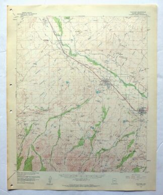
MAP DETAILS | |
|---|---|
| TITLE | Thatcher |
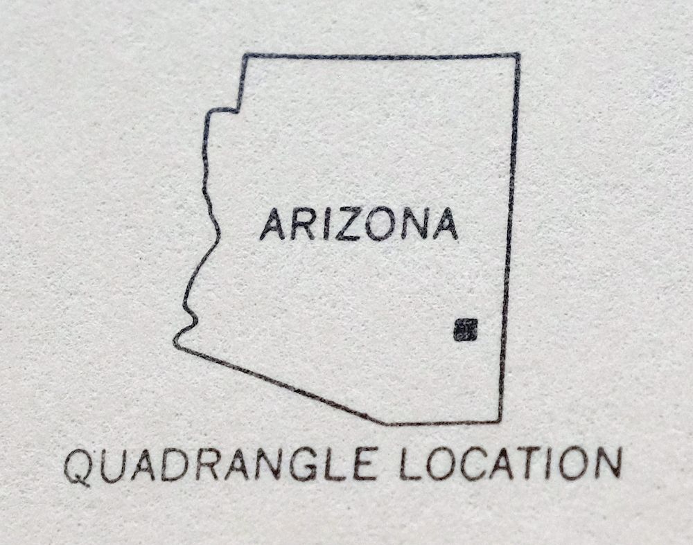
| STATE | Arizona |
| LOCATION | 10 miles west of Safford |
| SERIES | 15-minute |
| SURVEYED | 1957 and 1960 Aerial and Field Survey |
| EDITION | 1960 |
| PRINTED | 1962 |
| PRINT NOTES | Includes woodland tint (green to indicate vegetated areas) |
| SCALE | 1:62500 |
| CONTOUR INTERVAL | 80 feet |
| SHEET DIMENSIONS | 17 x 21 inches |
| MAP DIMENSIONS | 14 3/4 x 17 1/2 inches |
| COVERAGE AREA | 14 x 17 miles |
| SHEET CONDITION For maps of this vintage, effort is made to note all visible flaws, no matter how minor. | |
| OVERALL CONDITION | Excellent |
| SHEET NOTES | very lightly handled, never folded, smooth and flat |
| MAP AREA | flawless map area |
| COLLARS | no wear or tears, no markings, no blemishes, hole punches in left collar |
| MAP COVERAGE Quadrangle extent overlaid on current basemap. | |
| PLACENAMES Depending on map series and survey date, all of the features listed below may not be shown on this map. This list contains features that currently exist or historically existed within the area covered by the map. The list can be used as a reference to determine if this map covers your area of interest. Placenames are listed alphabetically next to each feature type. | |
| NOTABLE PLACES | Pima, Pinaleno Mountains, and Gila River |
| CITIES AND TOWNS (CURRENT) | Glenbar and Thatcher |
| COUNTIES COVERED | Graham |
| FEDERAL LAND UNITS | Coronado National Forest and Mount Graham Wilderness Study Area |
| RIVERS AND STREAMS | Ash Creek, Bigler Wash, Billingsley Creek, Black Rock Wash, Coyote Wash, Frye Creek, Hot Springs Wash, Markham Wash, Patterson Wash, Peck Wash, Underwood Wash, and Watson Wash |
| WATER BODIES | Allen Reservoir, Biglers Reservoir, Browns Tank, Cluff Reservoir Number One, Cluff Reservoir Number Three, Evans Pond, Frye Mesa Reservoir, Lower Deadman Tank, Mud Hollow Tank, No Name Reservoir, Riggs Reservoir, Rogers Reservoir, and Sheep Tank |
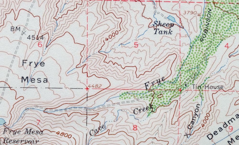
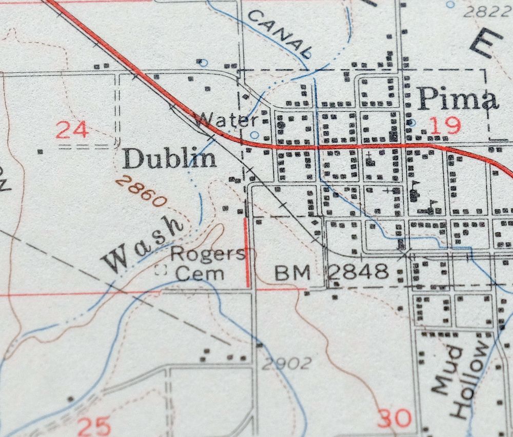
| Locations: Cluff Ranch, Mount Graham Golf Course, Mount Graham Sawmill, Tin House, and White House. Mountains, Peaks, and Summits: Bear Springs Knoll, Bryce Knoll, Coyote Knoll, Dead Steer Mesa, Frye Mesa, Goat Hill, Halls Mesa, Mud Springs Knoll, Red Knolls, Riggs Mesa, Shingle Mill Mountain, and Stowe Knoll. Valleys and Canyons: Blair Canyon, Bluff Hollow, Carter Canyon, Deadman Canyon, Frye Canyon, Hawk Hollow Canyon, Lefthand Canyon, Mexican Canyon, Mud Hollow, North Taylor Canyon, Nuttall Canyon, Rincon Canyon, Shingle Mill Canyon, Spring Canyon, White Streaks Canyon, Wide Hollow, Wide Mouth Canyon, and X Canyon. Parks: Sheriffs Posse Rodeo and Roping Area. Trails: Ash Creek Trail Three Hundred Seven, Carter Canyon Number Thirty four Trail, and Shingle Mill Mesa Thirty Five Trail. Drainages: Ash Creek, Bigler Wash, Billingsley Creek, Bear Springs Wash, Big Spring Wash, Butler Wash, Cave Creek, Central Wash, Chesley Wash, Cottonwood Creek, Cottonwood Wash, Coyote Wash, Frye Creek, Hells Hole Creek, Holyoke Wash, Hot Springs Wash, Hunsacker Wash, Markham Wash, Matthews Wash, Merrill Wash, Middle Wash, No Name Wash, Patterson Wash, Peck Wash, Sand Wash, Spring Creek, Talley Wash, Tripp and Underwood Wash, and Watson Wash. Lakes and Ponds: Bigler Ponds and Chatfield Pond. Buildings: Arizona Game and Fish Region Number Seven Office, Lamb Hotel, Pima City Hall, Pima Railroad Station, Thatcher City Hall, and Thatcher Fire Department. Dams: Billingsley Dam, Central Detention Dam, Chesley-Wamslee Dam, Cluff Ranch Number Three Dam, Frye Creek Retarding Dam, Frye Mesa Reservoir Dam, Howard Dam, Lee Dam, Oso Largo Dike Dam, Riggs Reservoir Dam, Rogers Reservoir Dam, and Savage Dam. Canals: Battle Creek Canal, Curtis Canal, Dodge Nevada Canal, Graham Canal, Robinson Ditch, and Smithville Canal. Basins: Bear Basin and Red Knolls Amphitheater. Airports: Flying J Ranch Airport. Schools: Eastern Arizona Junior College, Pima Elementary School, Pima High School, Thatcher Elementary School, and Thatcher High School. Reservoirs and Tanks: Allen Reservoir, Biglers Reservoir, Browns Tank, Carter Tank, Chandler Tank, Cluff Reservoir Number One, Cluff Reservoir Number Three, Coyote Tank, Eldon Palmer Reservoir, Evans Pond, Frye Mesa Reservoir, Hawk Hollow Tank, Lamb Tank, Lower Deadman Tank, Mexican Tank, Mud Hollow Tank, Mud Springs Tank, No Name Reservoir, Porter Spring Tank, Quarry Reservoir, Riggs Reservoir, Ringcone Tank, Rogers Reservoir, Sand Tank, Seven Cross Tank, Sheep Tank, Squaw Tank, Stockpond Tank, Stowe Tank, Thorpe Tank, Tramline Tank, Upper Deadman Tank, and Webb One Tank. Flats: Bear Springs Flat, Robinson Flat, and Rocky Flat. Tunnels: McEnary Tunnel. Towers: KATO-AM (Safford) and KXKQ-FM (Safford). Wells: Gila Well, Mack Well, and Pima Well. Springs: Bear Springs, Beauty Springs, Big Spring, Dickey Spring, East Spring, Eden Spring, Green Spring, Indian Hot Springs, Iron Springs, Little Spring, Magnesium Springs, Mud Spring, Mud Springs, Porter Spring, and Simon Springs. | |
| SHIPPING AND RETURNS | |
 This map sheet will be carefully rolled in a sturdy tube and shipped via the US Postal Service. If you find that the sheet you receive is not as described in the listing, you may ship it back to us for a refund of the purchase price. | |
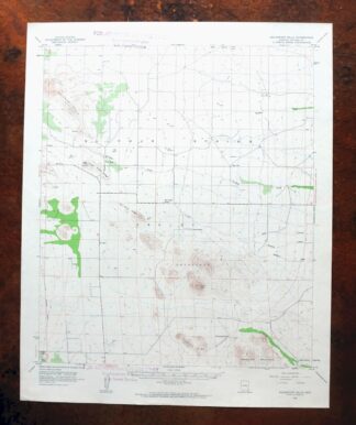
1962 USGS Topo Map: Thatcher, Pima, Arizona (Original Print)
$45
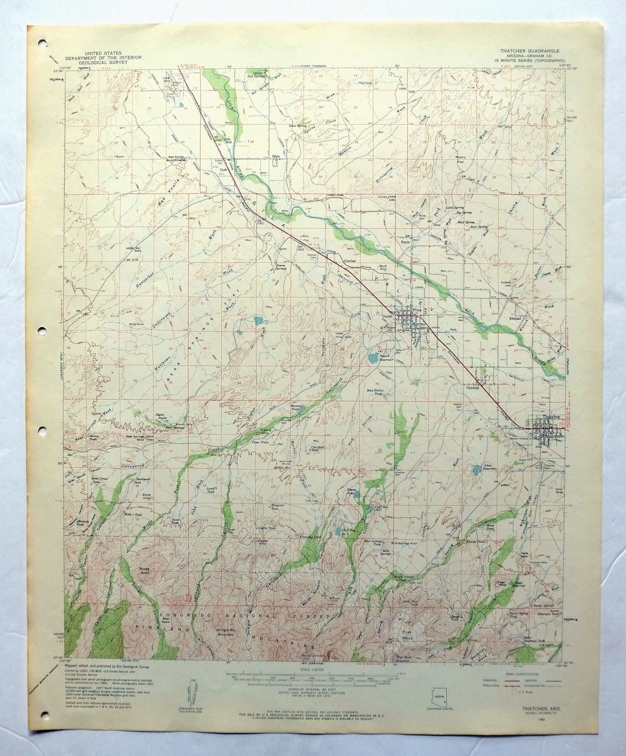
This is a 1960 edition of the Thatcher quadrangle in Graham County, Arizona, printed in 1962 at 1:62,500 scale, with a green woodland tint marking vegetated country. The sheet covers a stretch of the upper Gila River valley about 10 miles west of Safford, taking in the town of Thatcher, the community of Glenbar, Pima, and the northern slopes of the Pinaleno Mountains, including part of the Coronado National Forest. The Pinalenos rise sharply above the valley floor, climbing toward Mount Graham’s forested high country, and the 80-foot contours trace that steep gain. Never folded, it would frame well.
In stock
This vintage sheet is a 1960 edition of the Thatcher Arizona USGS topographic map. It is an original 64-year-old 1962 United States Geological Survey print in excellent condition.
HOW THIS MAP CAN BE USED
In addition to making a fascinating conversation piece, this sheet would look great in a frame or on display, make a unique and prized gift for anyone interested in this area, be perfect as a reference for genealogy studies or general historical research, or fill that missing piece in your collection. Maps of this vintage are printed on durable stock and are well-suited for outdoor activities and recreation of all kinds, including hiking, backpacking, hunting, rafting and kayaking, backcountry skiing, geocaching, general exploration, treasure hunting, etc.
FEATURES SHOWN ON THE MAP
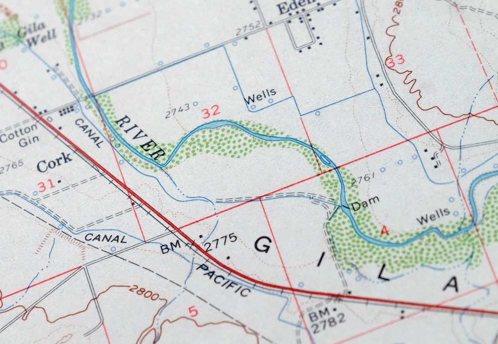
The Thatcher 15-minute map shows cities and towns, roads, railroads, utilities and energy infrastructure, rivers, creeks, elevation contour lines, public land survey lines, county, state, and other administrative boundaries as they existed at the time of the survey in 1957 and 1960. All known structures (houses, businesses, churches, schools, barns, cabins, etc) are also shown.
A VALUABLE HISTORICAL RECORD
Maps from the 15-minute series for the continental United States are no longer produced or printed by the USGS and original prints are becoming increasingly difficult to find. They are a valuable historical record for an area, as they contain many placenames and features that have been dropped from more recent maps.
Nearby maps
-

Safford Arizona Thatcher Solomon USGS Topo Map 1980 Vintage
$44 Add to cart -

Klondyke Arizona USGS 15-Min Topographic Map 1971 Vintage
$44 Add to cart -

Winchester Mountains Arizona The Mesas USGS Topo Map 1962
$30 Add to cart -
1945 USGS Topo Map: Winchester Mountains, Arizona
$27 Add to cart -
Bowie Arizona USGS 15-Min Topographic Map 1950 Vintage
$34 Add to cart -
Christmas Arizona USGS 15-Min Topographic Map 1917 Antique
$56 Add to cart -
Cochise Arizona Willcox USGS 15-Min Topo Map 1963 Vintage
$43 Add to cart -
Cochise Arizona Willcox USGS 15 Minute Topo Map 1943 Vintage
$42 Add to cart -
1962 USGS Army COE Topo Map: Dos Cabezas, Arizona
$26 Add to cart -
Winkelman Arizona Dudleyville Hayden USGS Topo Map 1966
$43 Add to cart -
Hannagan Meadow Arizona Apache NF USGS Topo Map 1960 Vintage
$46 Add to cart -
1963 Hannagan Meadow Arizona USGS Topo Map
$45 Add to cart -
Cochise Head Arizona USGS 15-Min Topo Map 1957 Vintage
$44 Add to cart -
Oracle Arizona Catalina USGS 15-Min Topo Map 1964 Vintage
$41 Add to cart -
Globe Arizona Miami Claypool USGS Topo Map 1955 Vintage
$45 Add to cart -
Globe Arizona Miami Claypool USGS Topo Map 1910 Antique
$78 Add to cart -
Blue Arizona Apache NF USGS 15-Min Topo Map 1963 Vintage
$47 Add to cart -

1967 Mount Lemmon Arizona USGS Topo Map: Tucson
$62 Add to cart -
1965 USGS Army COE Topo Map: Vanar, Arizona/New Mexico
$38 Add to cart -

Morenci Arizona Clifton Blue River USGS 30-Min Topo Map 1954
$62 Add to cart -

San Simon Arizona Bowie USGS 30-Min Topo Map 1948 Vintage
$50 Add to cart -
Globe Arizona Miami Claypool USGS Topo Map 1982 Vintage
$28 Add to cart -
Mogollon New Mexico Pleasanton Mule Creek USGS Topo Map 1964
$49 Add to cart -
1963 USGS Topo Map: Squaretop Hills, Arizona (Vintage Print)
$34 Add to cart